Middle Fork to East Fork Gila River
May 13-15, 2026
This backpacking trip was many weeks in the planning, between coordinating the schedules of five people, and taking into consideration both the weather and early season wildfires. Last but not least was finding a route that would be an off-the-beaten-track adventure, but not too difficult for a group that included a first-time backpacker, a friend who hadn't backpacked in many years, and two septuagenarians.
Ken proposed a traverse from the Middle Fork Gila River to the East Fork, with a base camp at the East Fork and possible side trips to Diamond Creek or White Rocks. Hiking distances varied from 7 to 9 miles, with water assured at the two creekside campsites.
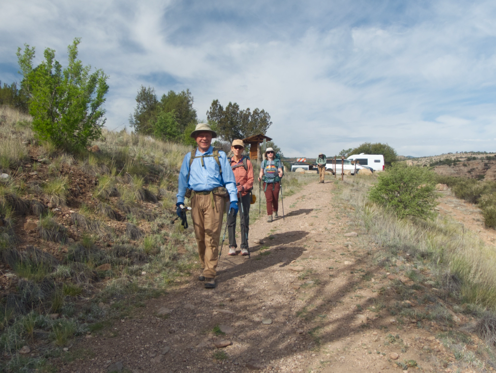
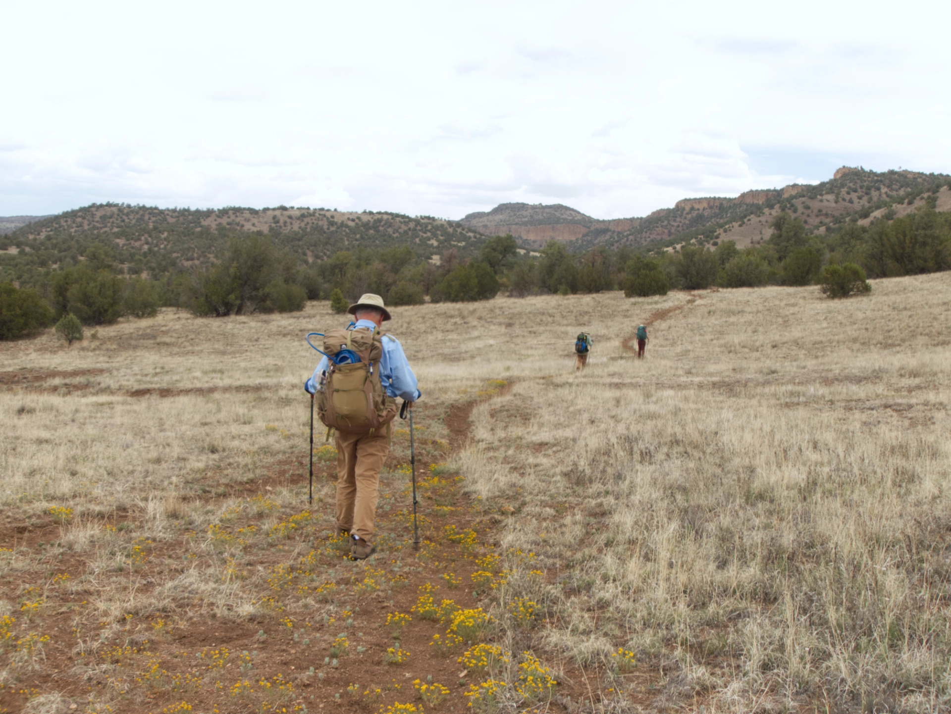
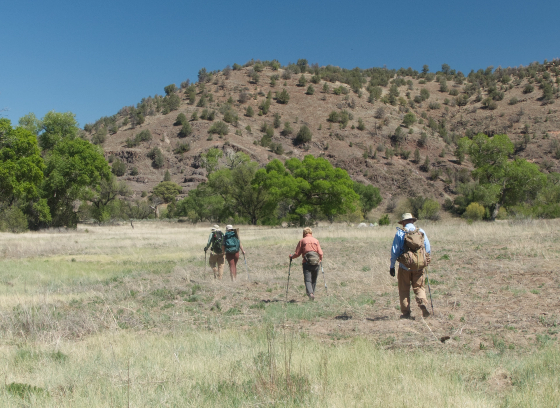
To get an early start, Ken and Helena and Dennis and I camped the previous night at Lower Scorpion Campground, enjoying a colorful sunset and the absolute quiet after dark. Diane met us the following morning at the old visitor center. We were quite surprised to see that at 9 am on a Wednesday morning, the trailhead parking was already full. So we dropped our packs, left the vehicles at the visitor center, and started up the Middle Fork.
The first surprise of the trip was the condition of the hot spring. Someone -- or several someones -- has done a tremendous amount of work building up the sides of multiple pools and constructing long channels to achieve the correct mixture scalding hot and icy river water.
We were definitely looking forward to a soak on the way back. Photo by Ken.
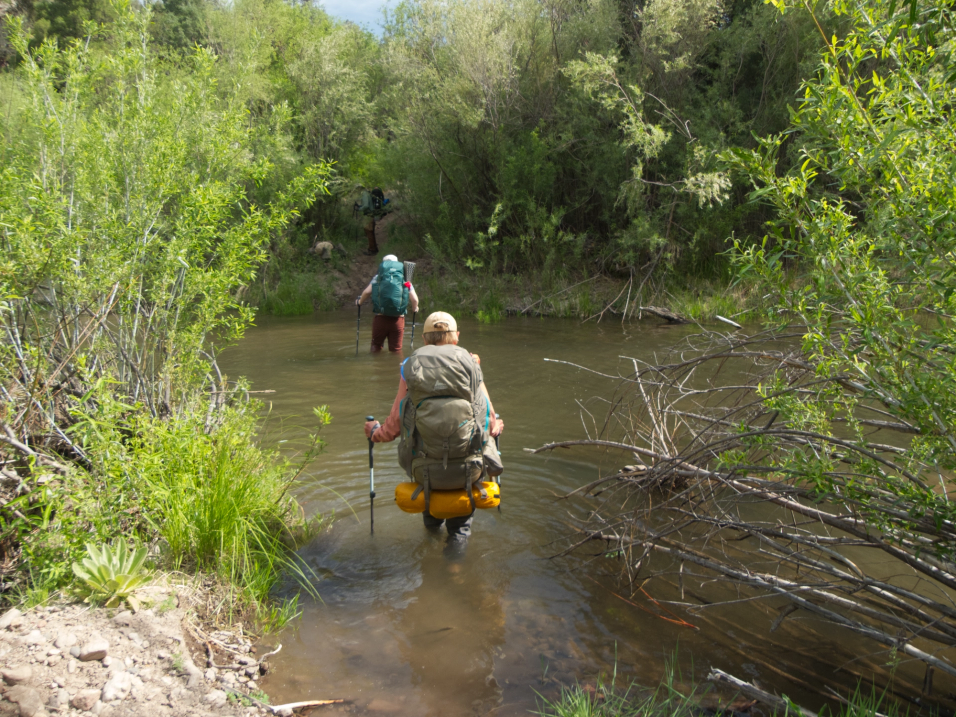
The beavers have been busy! Some of the crossings were unusually deep.
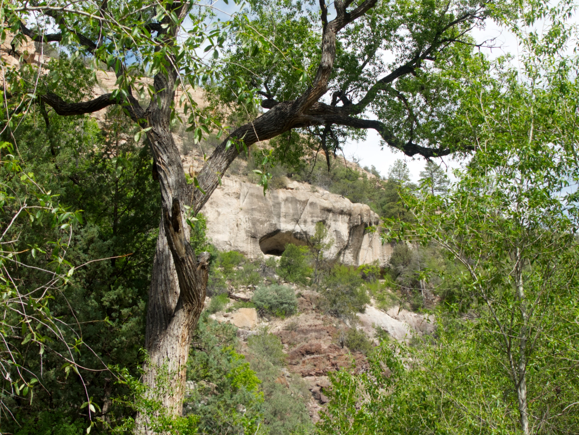
Cliff dwellings are common along the Middle Fork. It's important to look up from time to time!
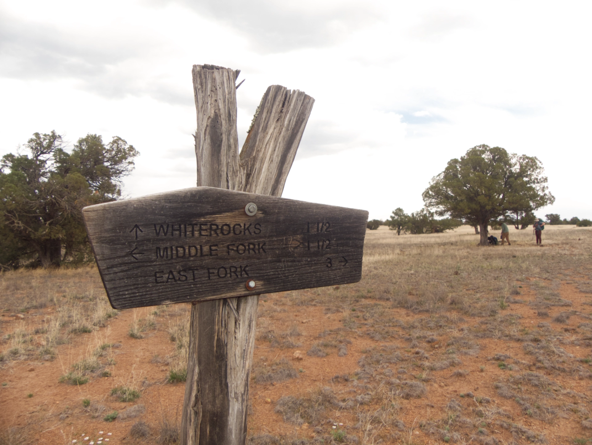
About 1¾ miles out, we reached the White Rocks Trail junction. From here, the trail climbs 1300' in 1½ miles, and the temperature was pushing 90° in full sun.
The trail was absolutely as steep as advertised, with nothing but loose rock underfoot. Fortunately, the wind picked up and blew in some most welcome clouds. Curtains of virga hung on the horizon.
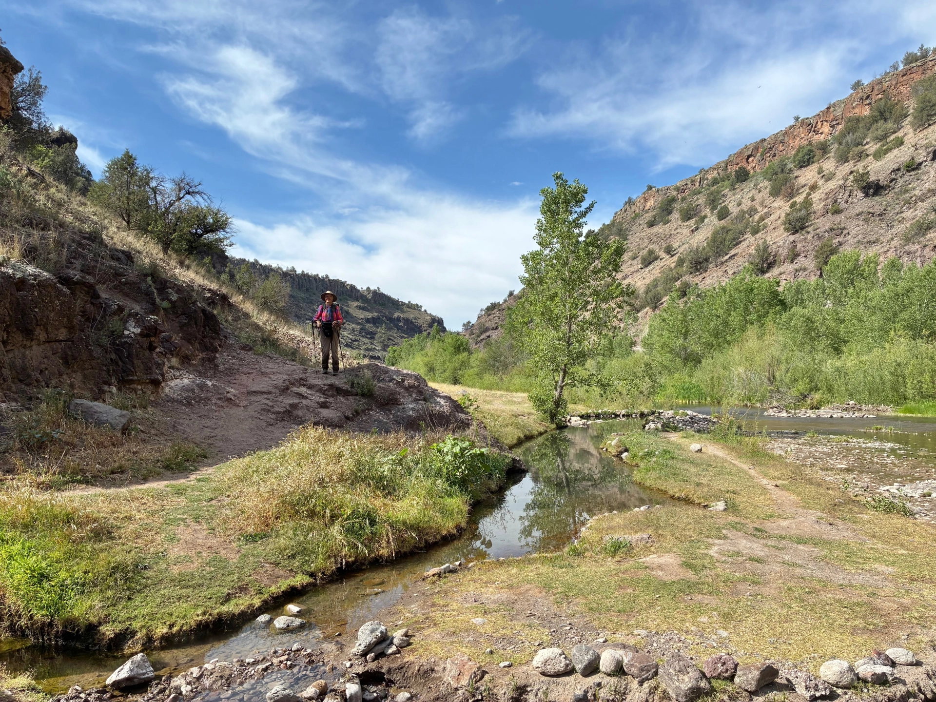
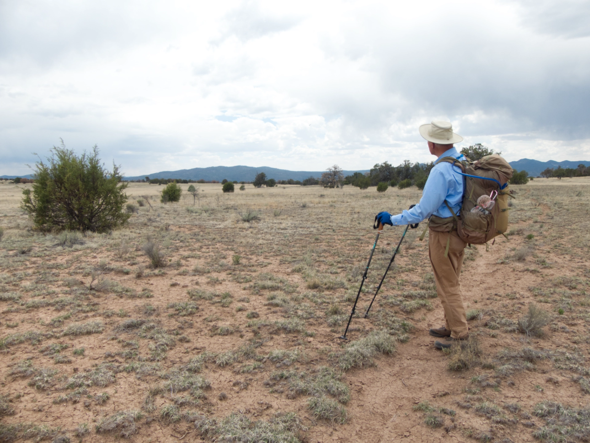
Diane pauses to admire a steep-walled unnamed canyon at the foot of North Mesa.
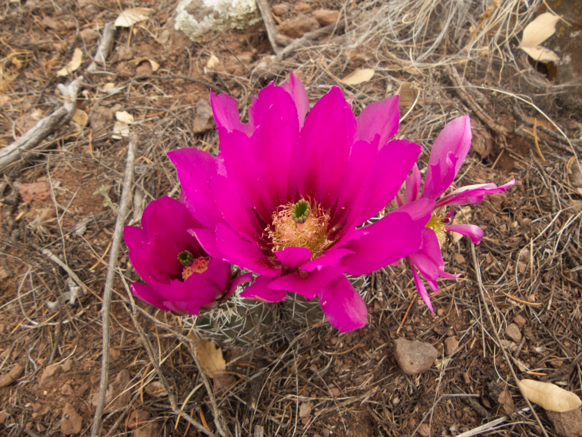
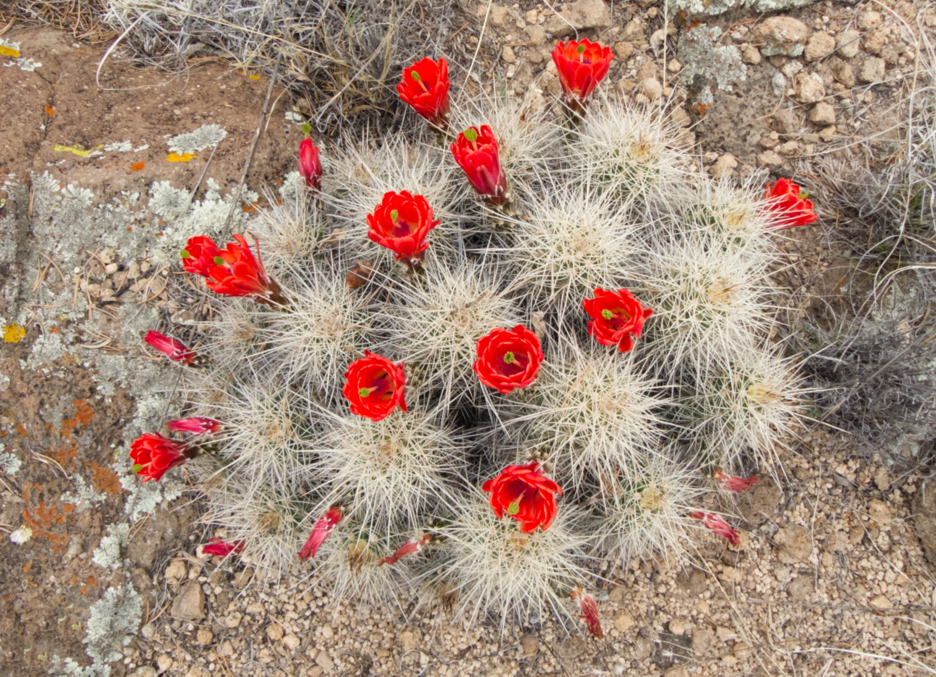
Claret cup and hedgehog cacti in full bloom provided dashes of dazzling color along the trail.
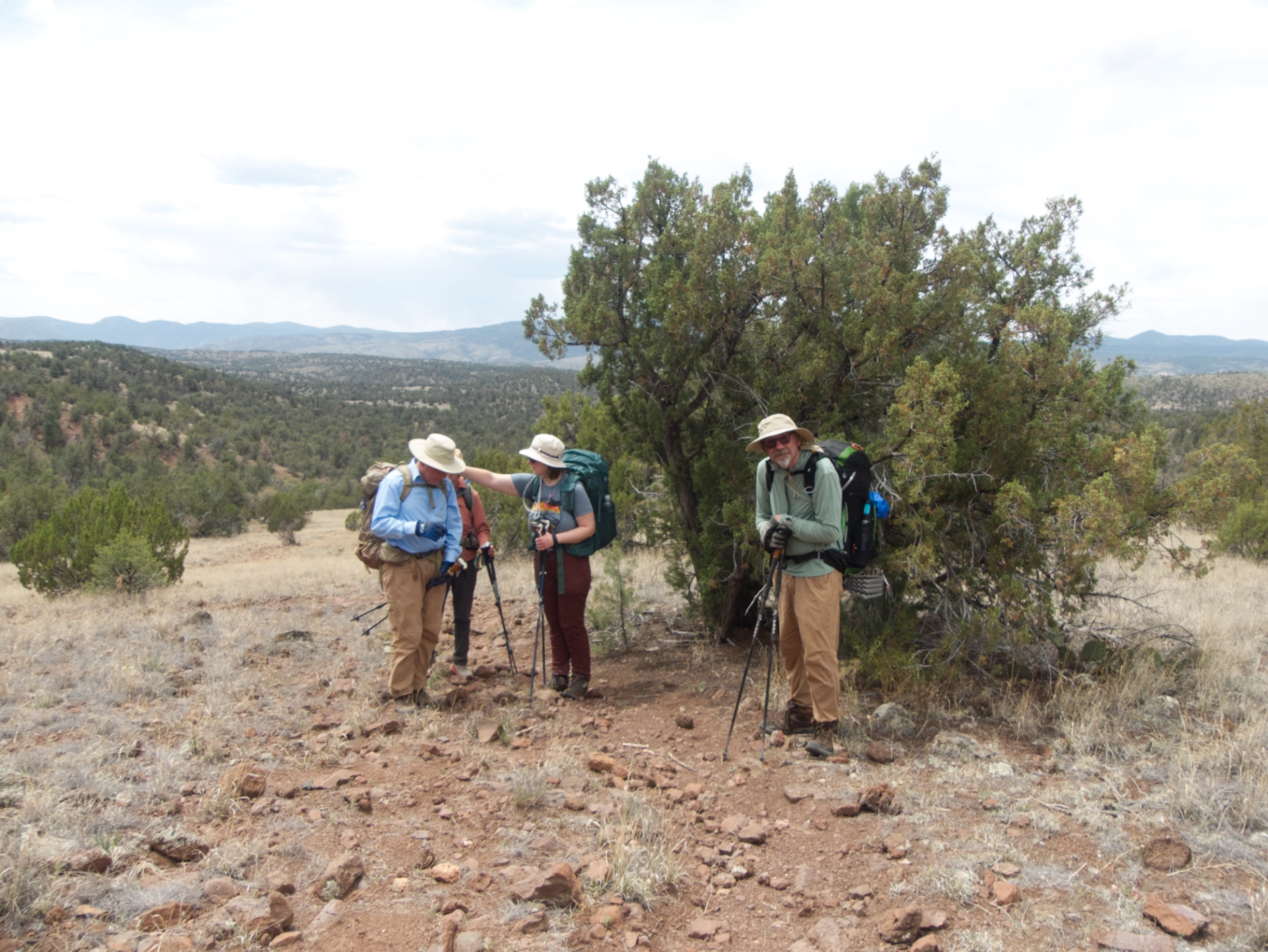
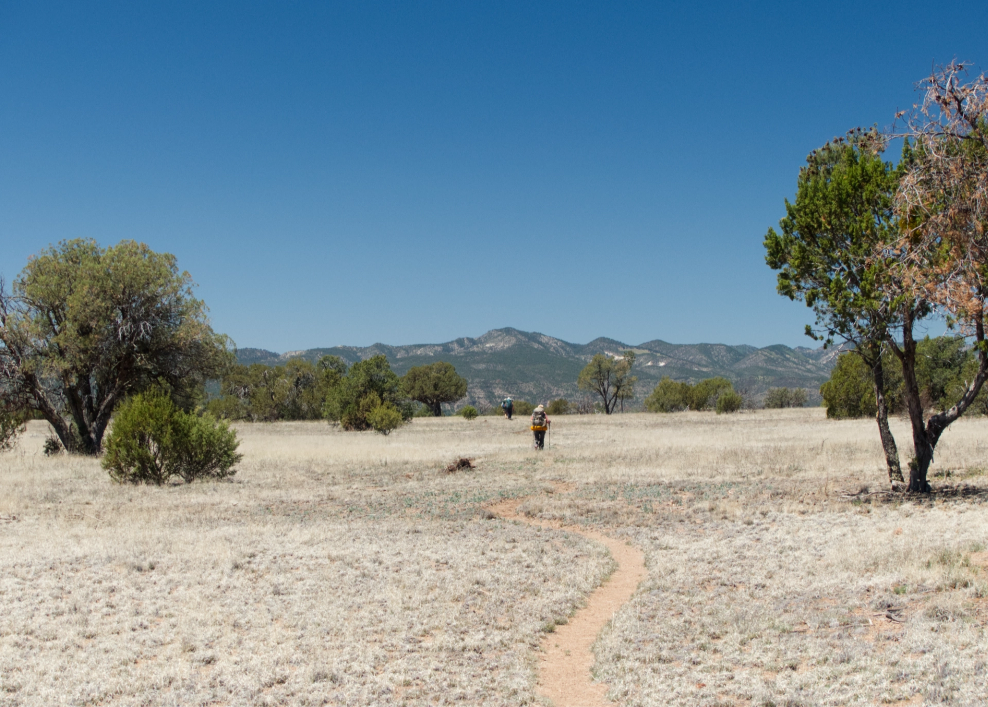
Once atop the mesa, we took a long lunch break under a lone juniper, then continued on our way across North Mesa.
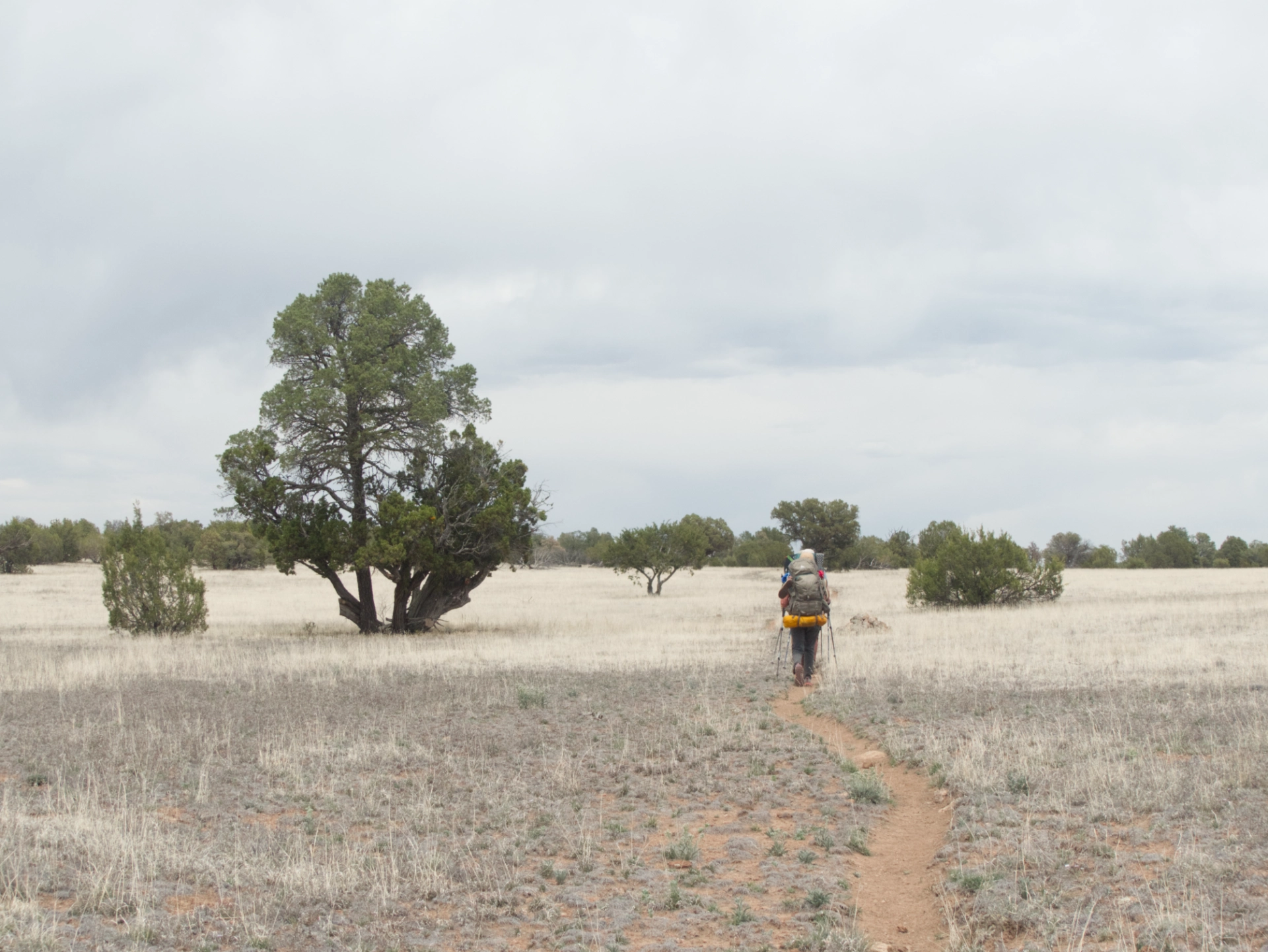
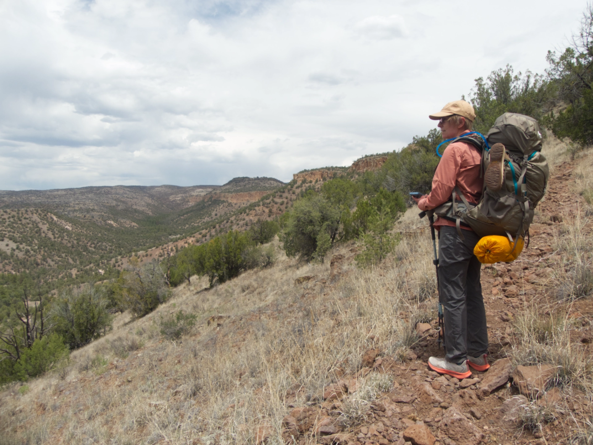
North Mesa is a long flat-topped and nearly treeless plateau that reminded me a bit of Aeroplane Mesa. There were awe-inspiring views across the mesa and down into the Middle Fork and countless side canyons.
The faint track that crosses the mesa is part of the Grand Enchantment Trail that runs across 14 mountain ranges from Phoenix to Albuquerque.
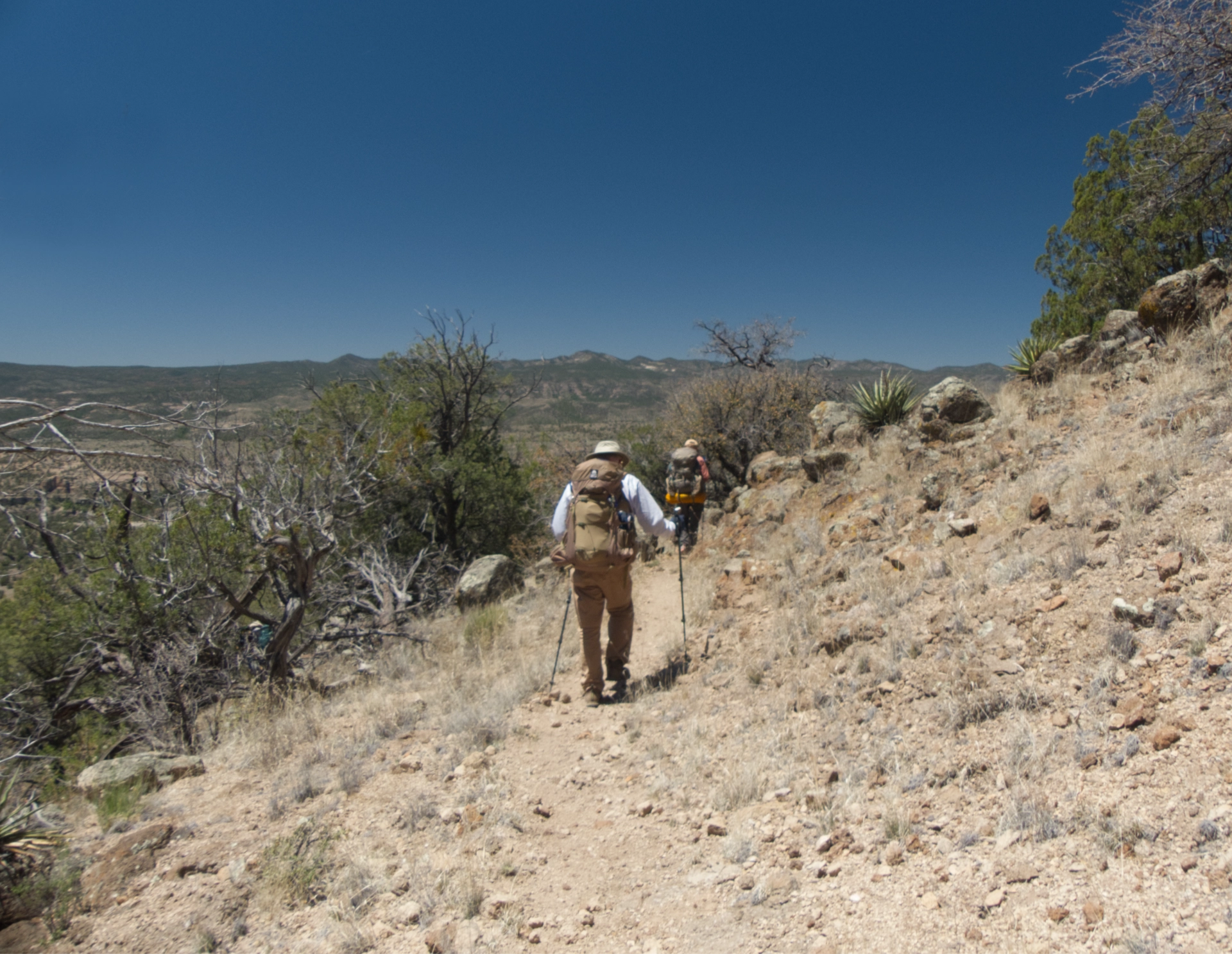
Around the five-mile mark, the trail begins dropping off the east lip of the mesa, with the worst tread to date — nothing but nasty bits o' basalt eager to roll underfoot.
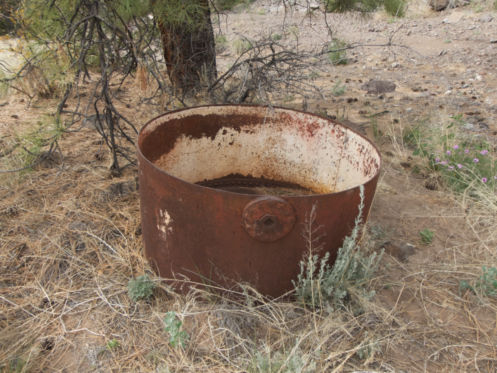
An enormous metal cauldron marks the probable location of (dry) Adobe Springs. Now how did that get here?
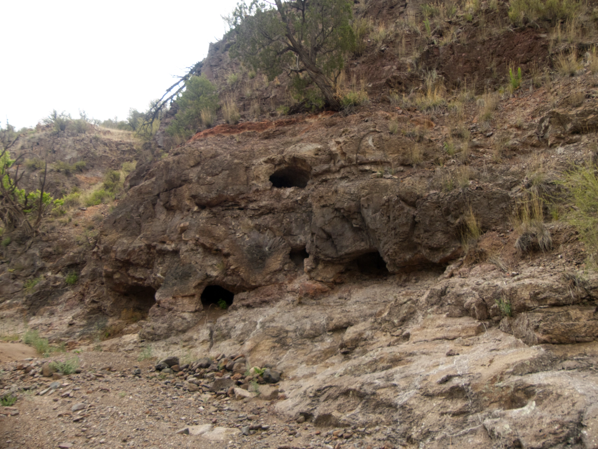
Near a fascinating complex of caves, there was one final huge cairn before the trail disappeared into a stony wash.
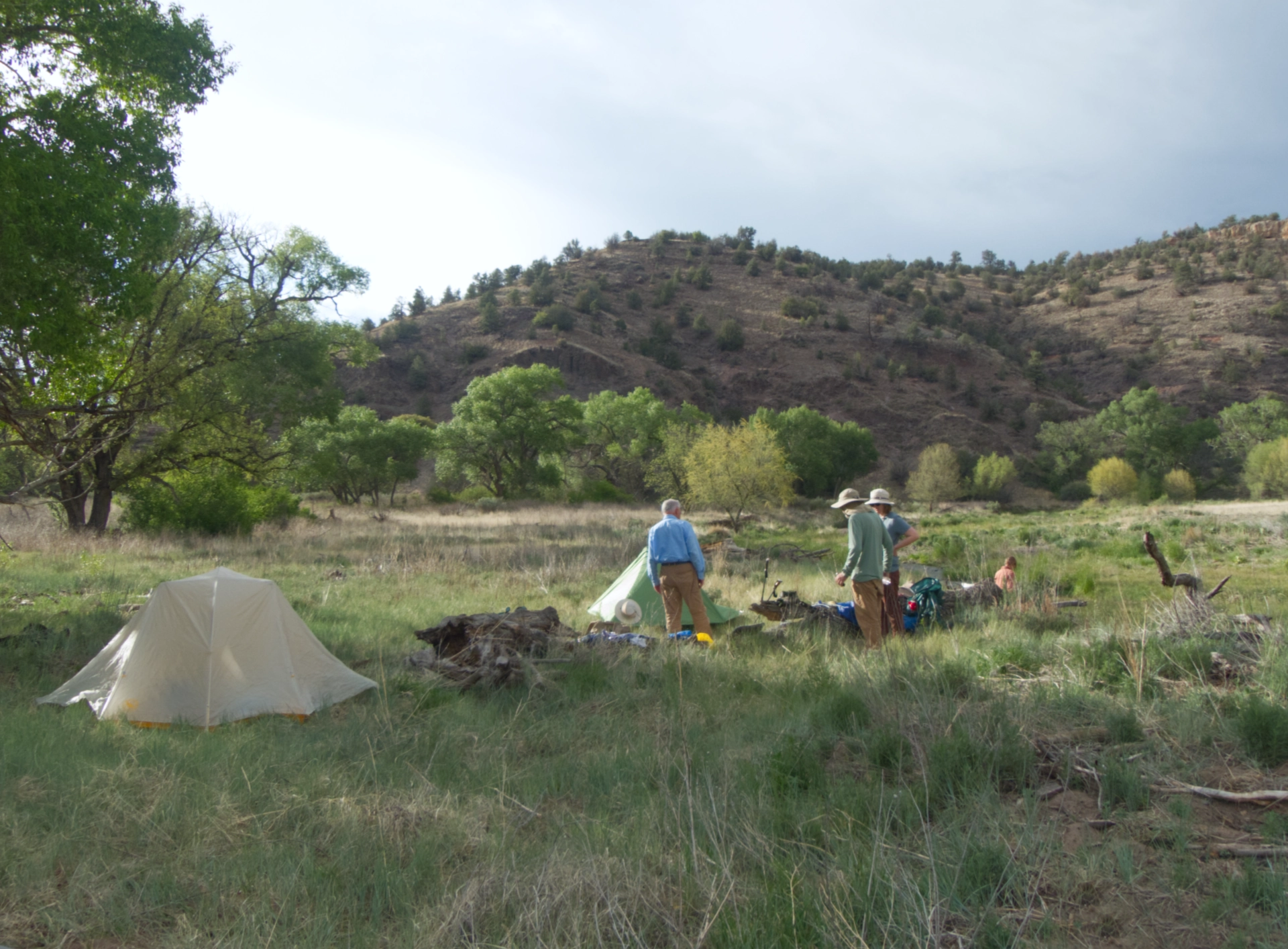
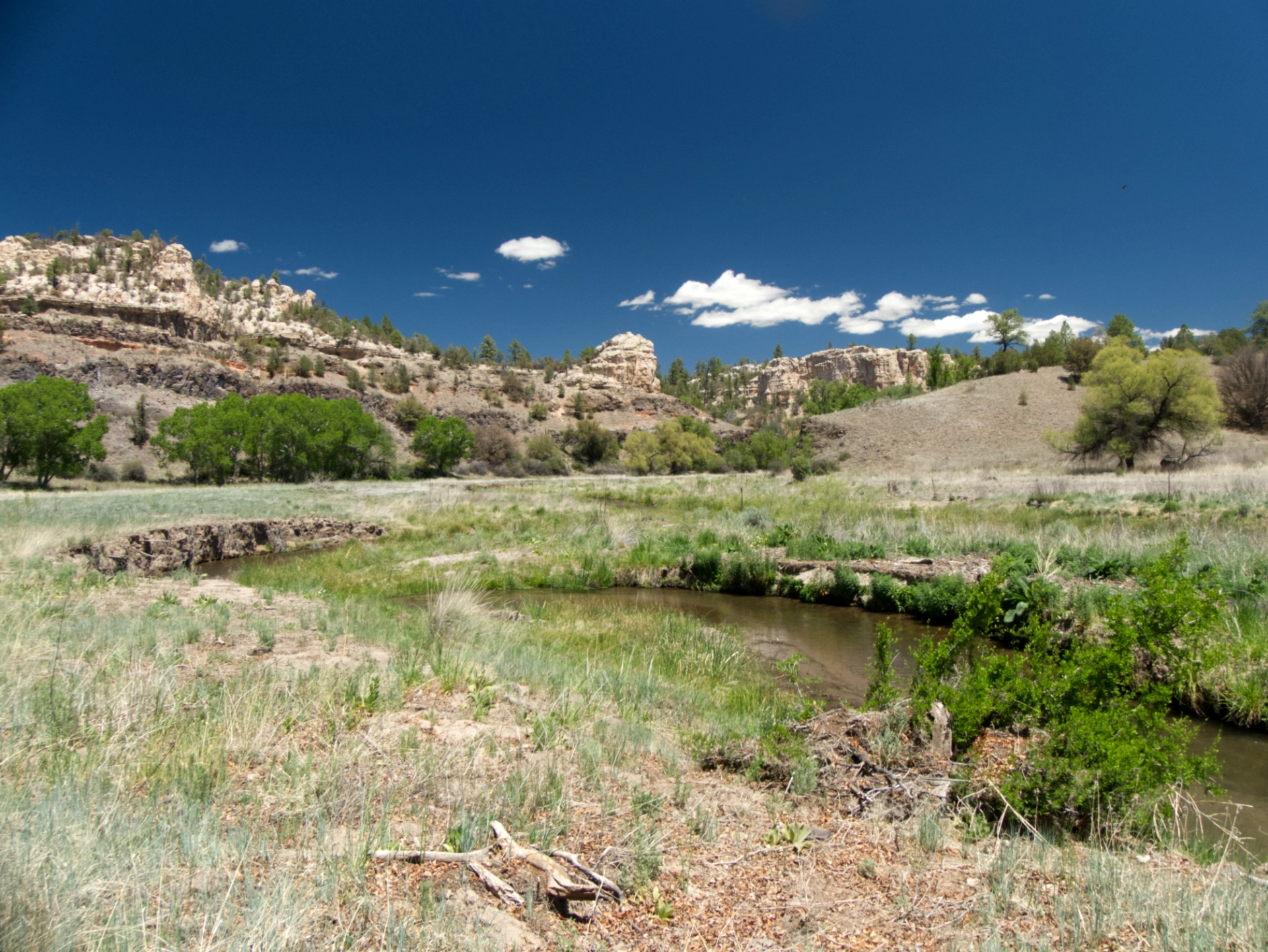
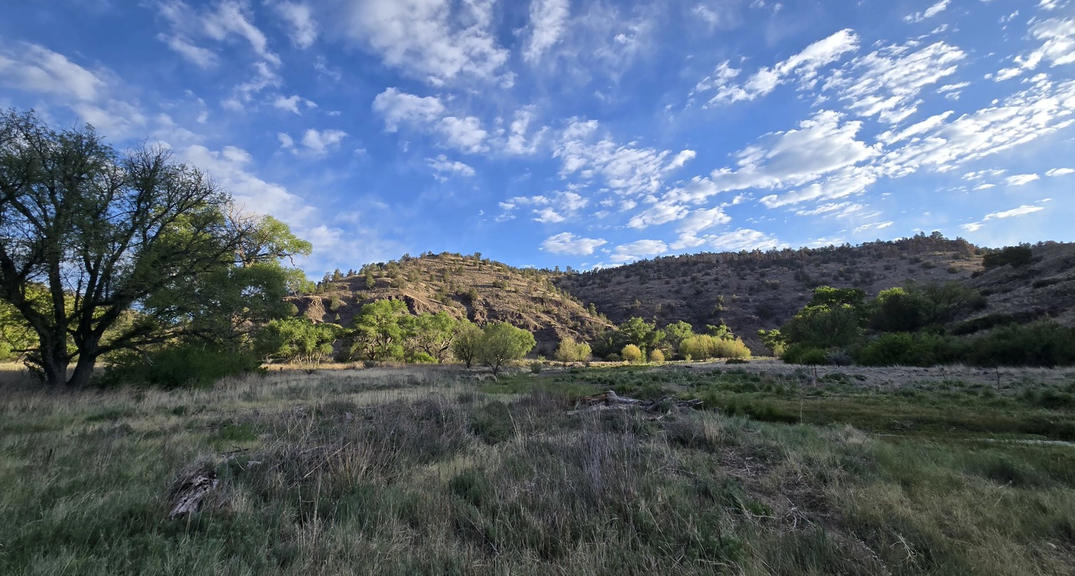
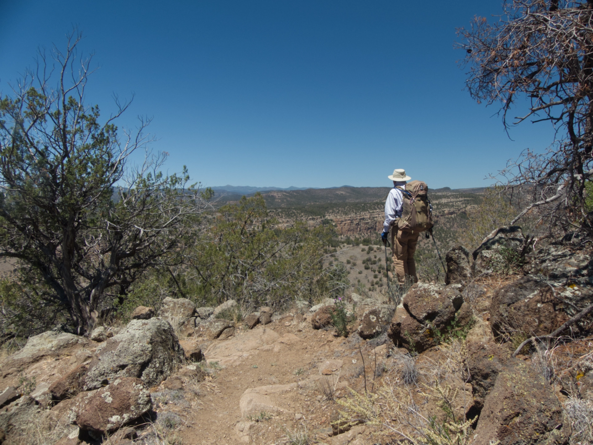
It was a relief when the East Fork finally came into view. Unlike it siblings, the Middle and West Fork, the eastern tributary meanders gently across a broad, grassy valley, unobstructed by the usual dense streamside brush. We set up camp on a bend in the river near an ancient, rambling narrow-leaf cottonwood, and tucked in for the night.
Dining out. Way out!
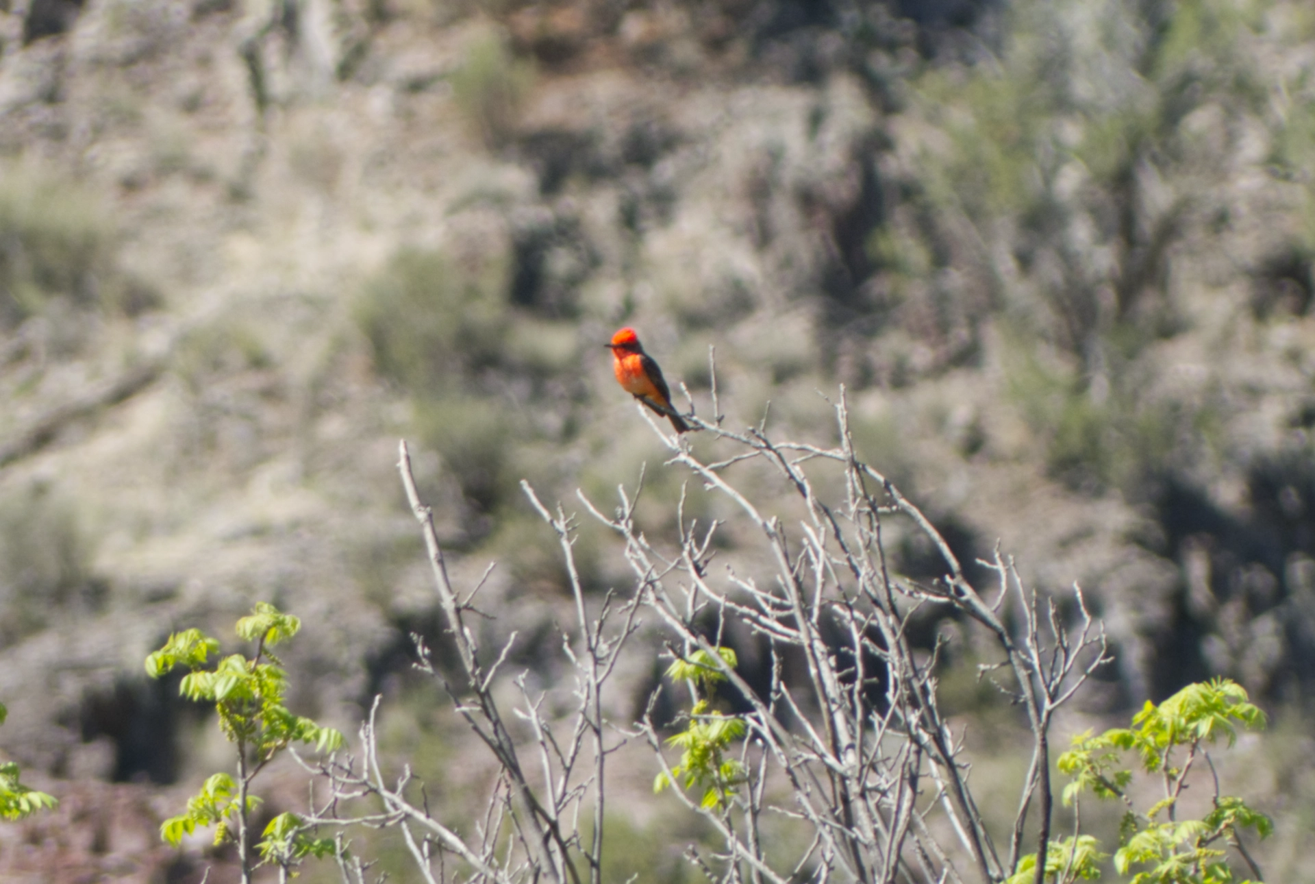
Not surprisingly, there were tons of birds in the area. A constant kettle of turkey vultures looking for the up elevator, a great blue heron, red-tail and black hawks, dive-bombing cliff swallows, vermillion flycatchers, raspy redwing blackbirds, gambel's quail and white-breasted nuthatches. Poorwills sang us to sleep at "backpacker's midnight", and there were overnight serenades by a great horned owl.
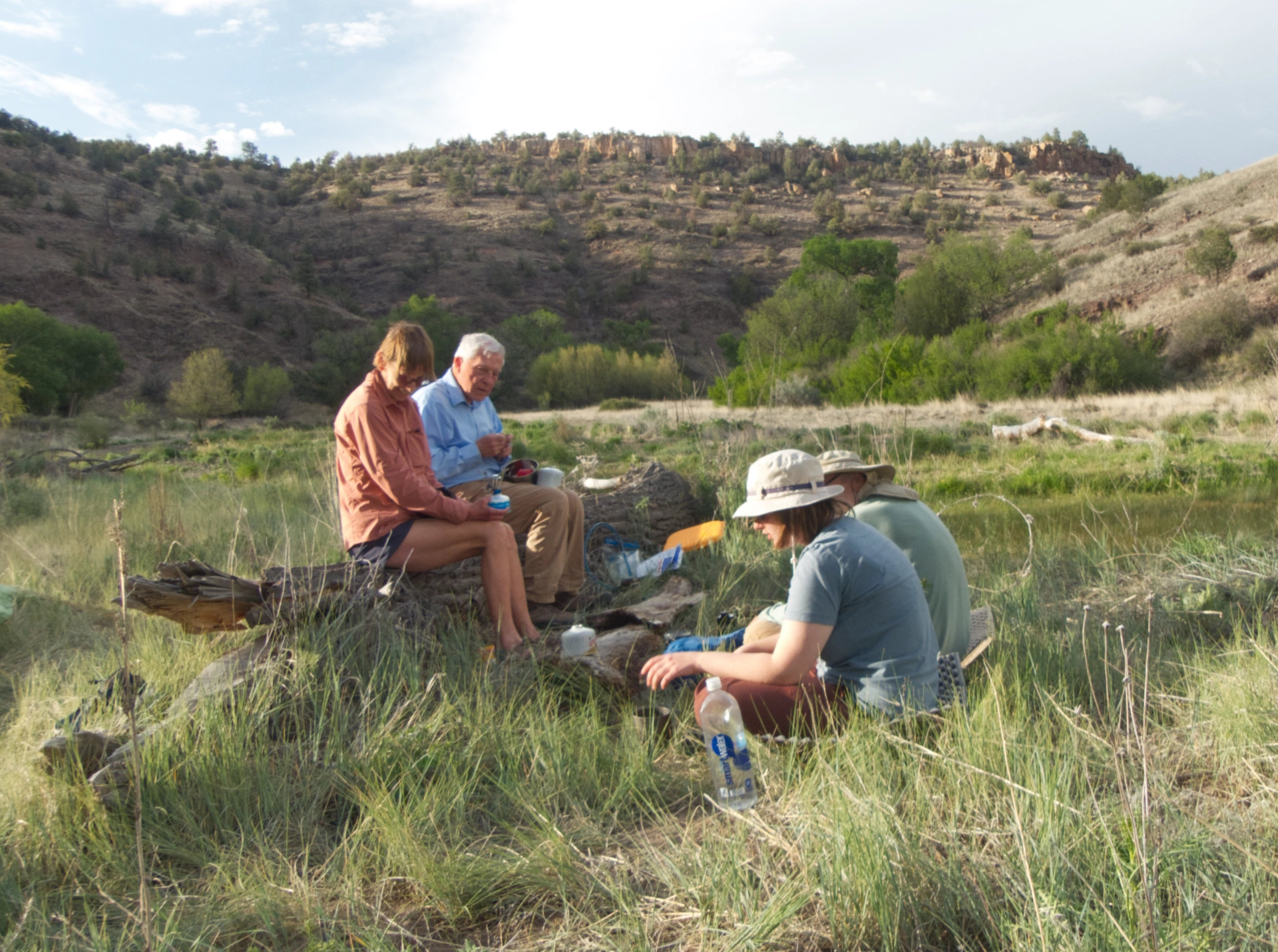
We left day two deliberately loose, with options to do a long day hikes to White Rocks, or shorter excursions to Diamond Creek or upstream. In the end we opted for a leisurely stroll upstream along the East Fork, to the Iron Trail junction.
It was a feast for the eyes, with the river coiling back and forth between rugged volcanic cliffs, its shores shaded by giant cottonwoods, alders and willows.
Near the Iron Trail junction, the valley flattened out, and round bare hills replaced the rhyolite cliffs. Photo by Diane.
The chalky cliffs of Cement Canyon were visible in the distance.
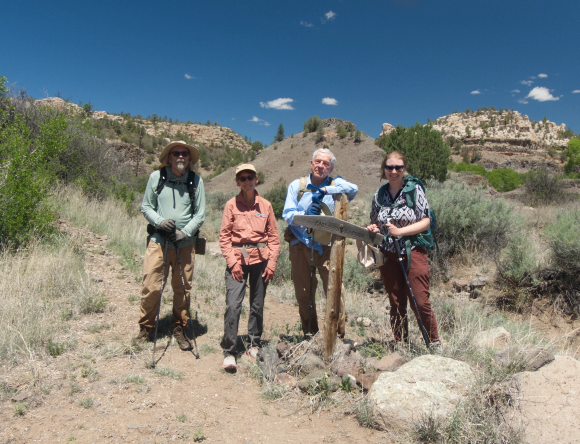
Ken and Helena would venture up the Iron Trail, while Diane and Dennis and I trudged back to camp.
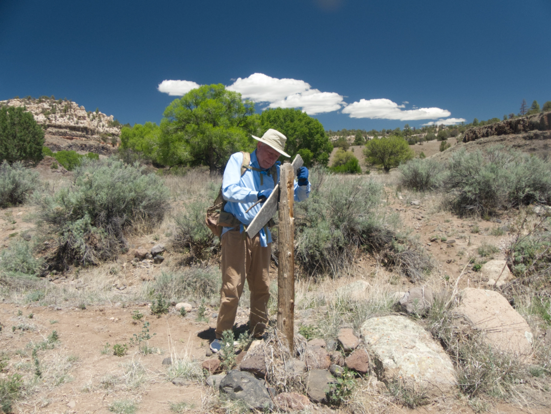
Dennis repaired the trail sign at the Iron Trail junction, which we found lying on the ground.
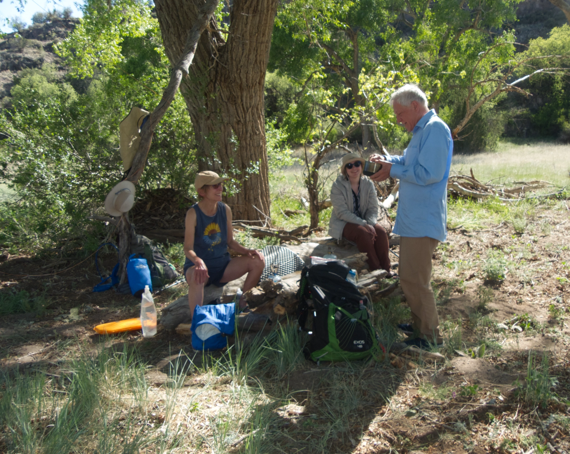
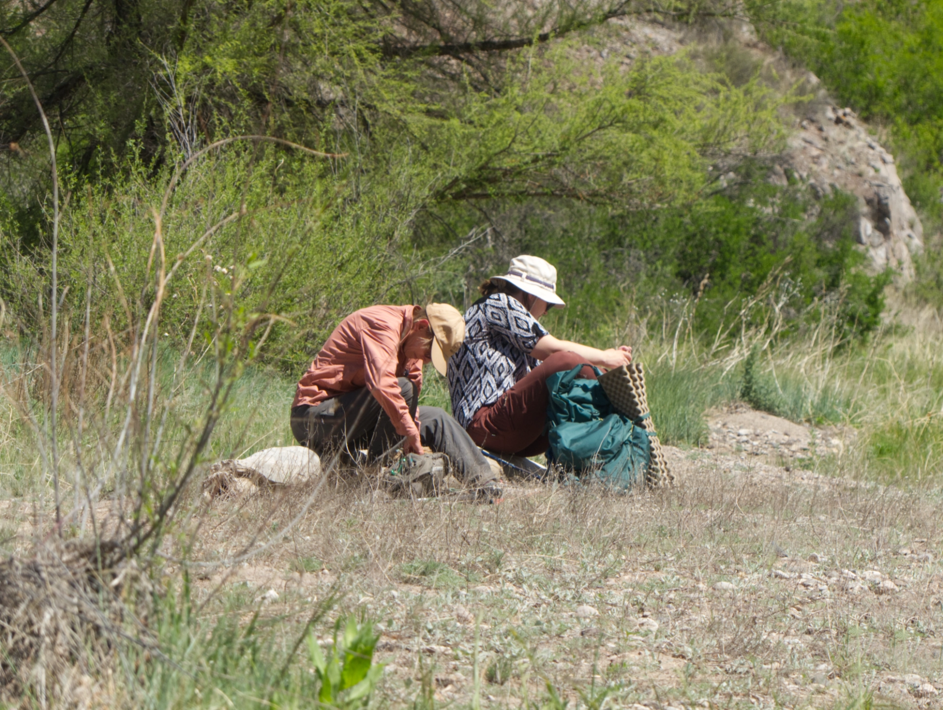
Diane and Dennis and I spent the afternoon using downed limbs near the cottonwood to build a wraparound bench and a table in the shade.
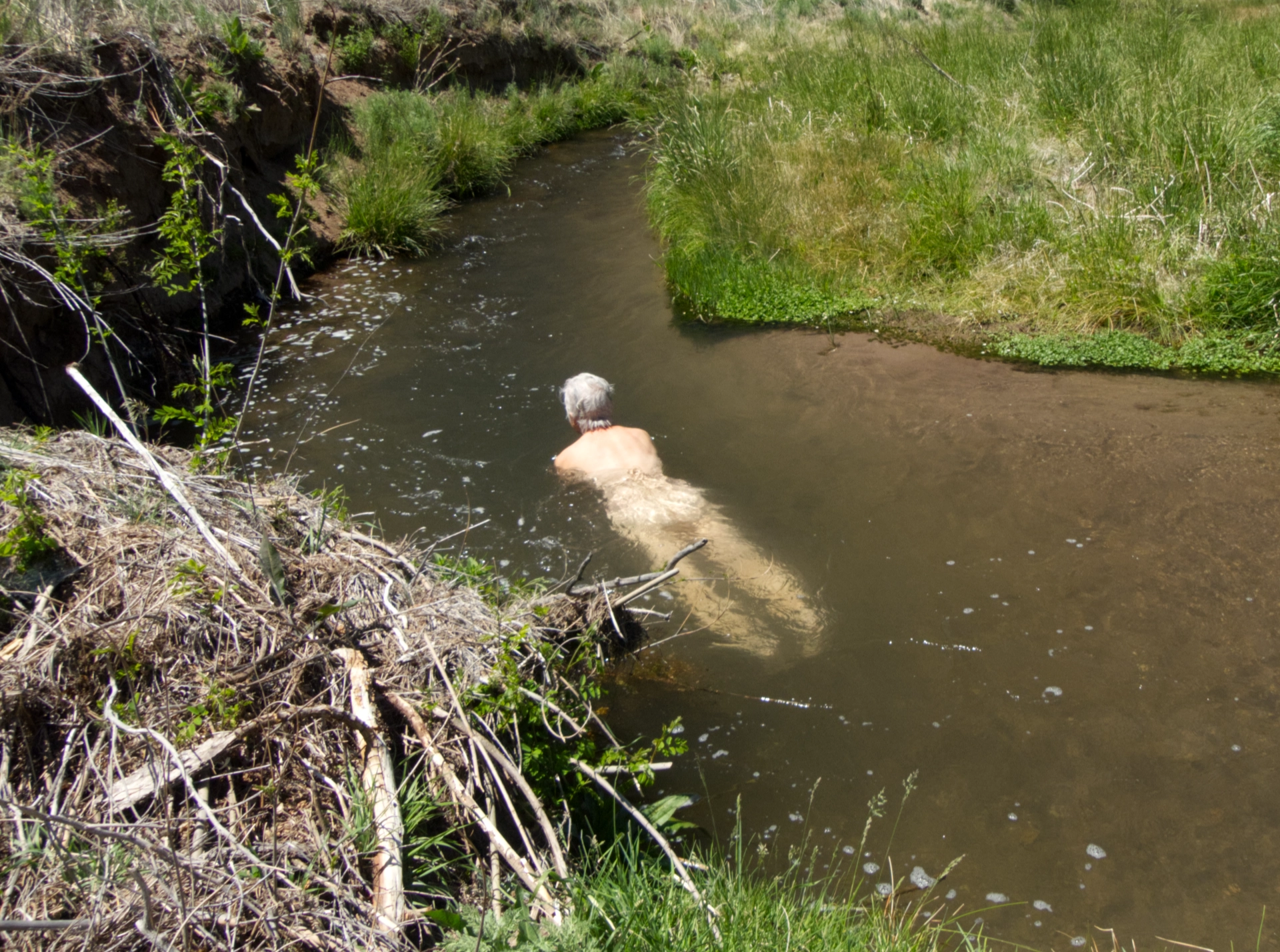
There were some nice deep spots in the creek near our campsite. I swam and swam!
Dawn on day 3. Photo by Diane.
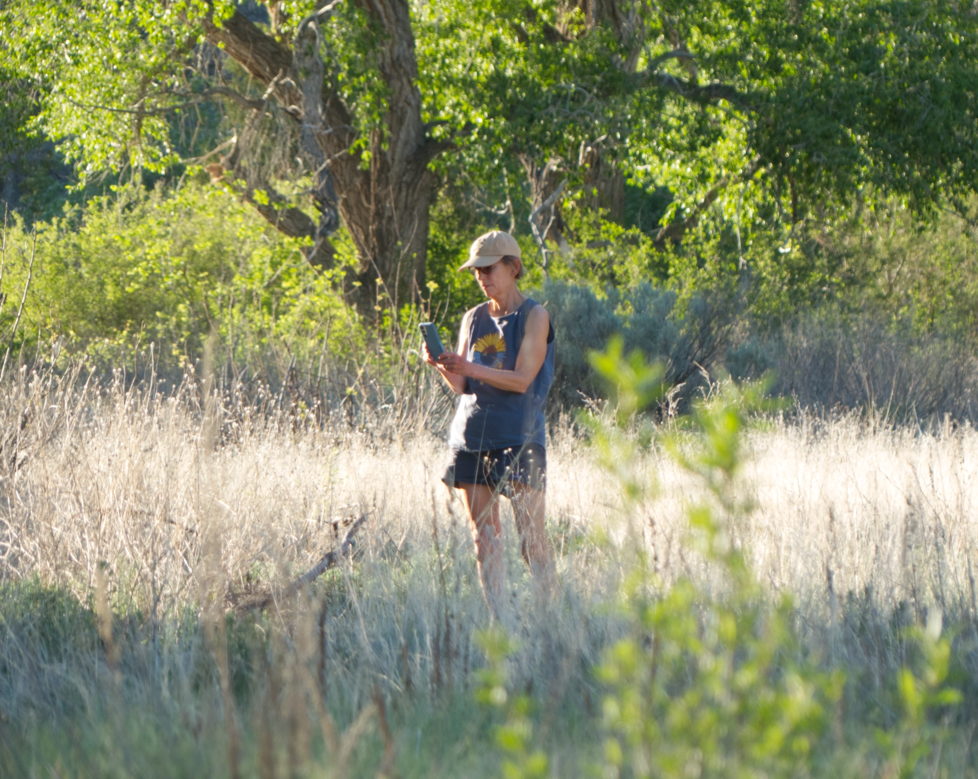
Diane checks a bird call on her Merlin app.
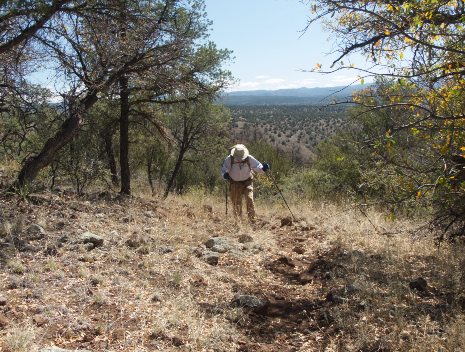
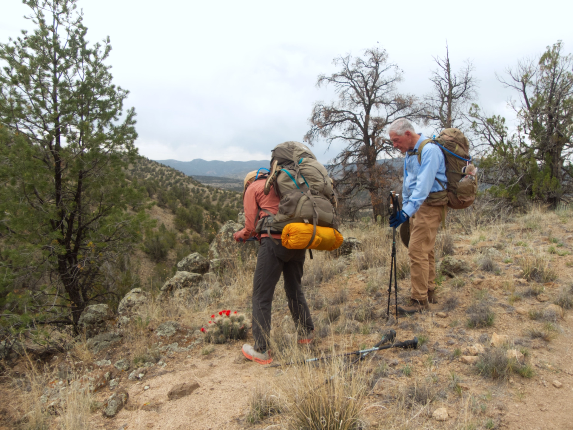
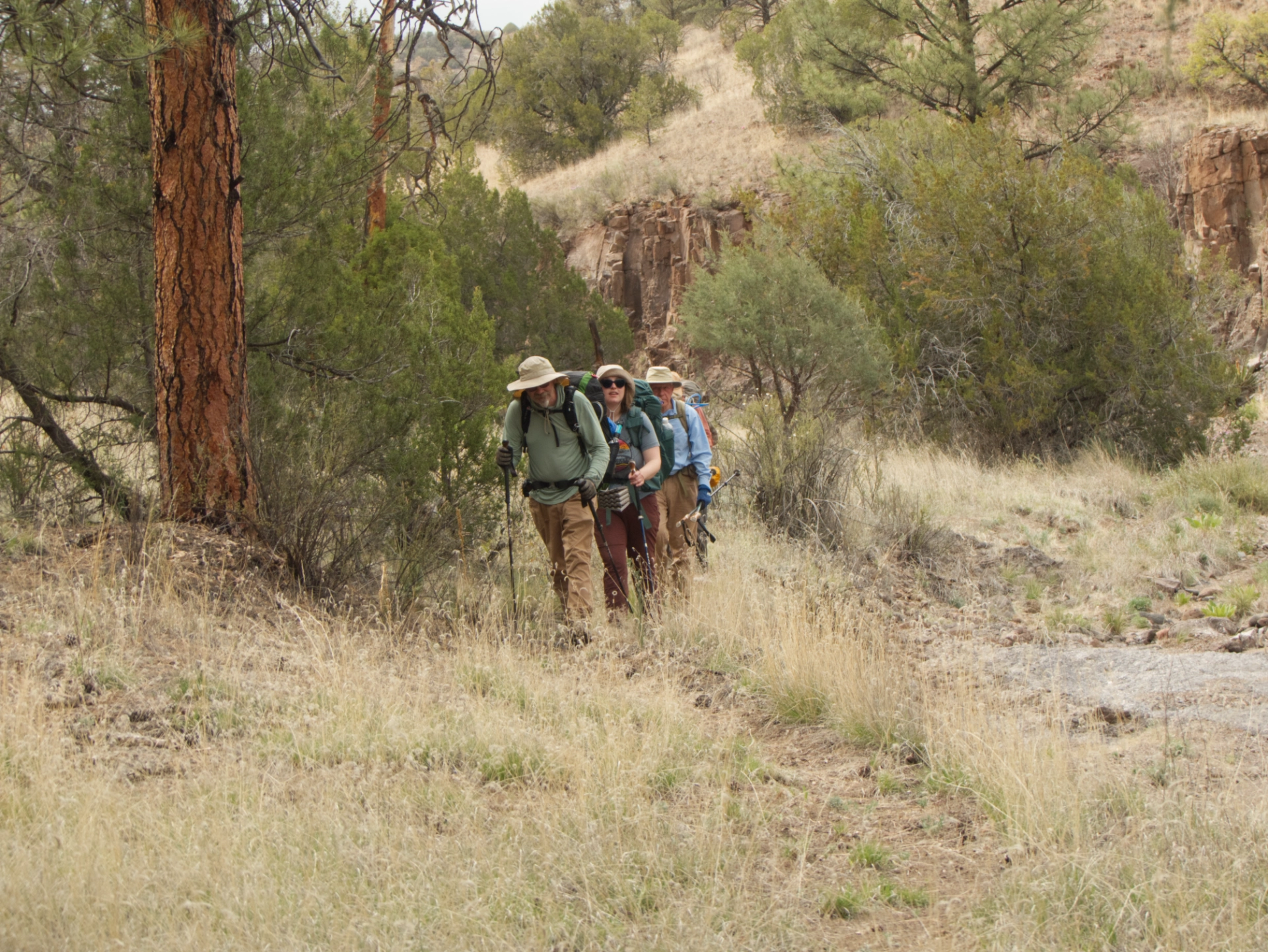
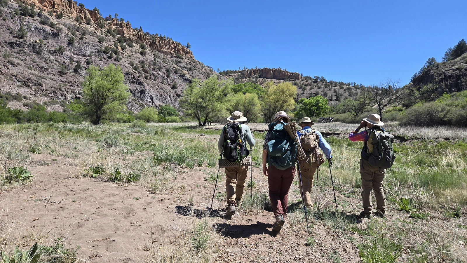
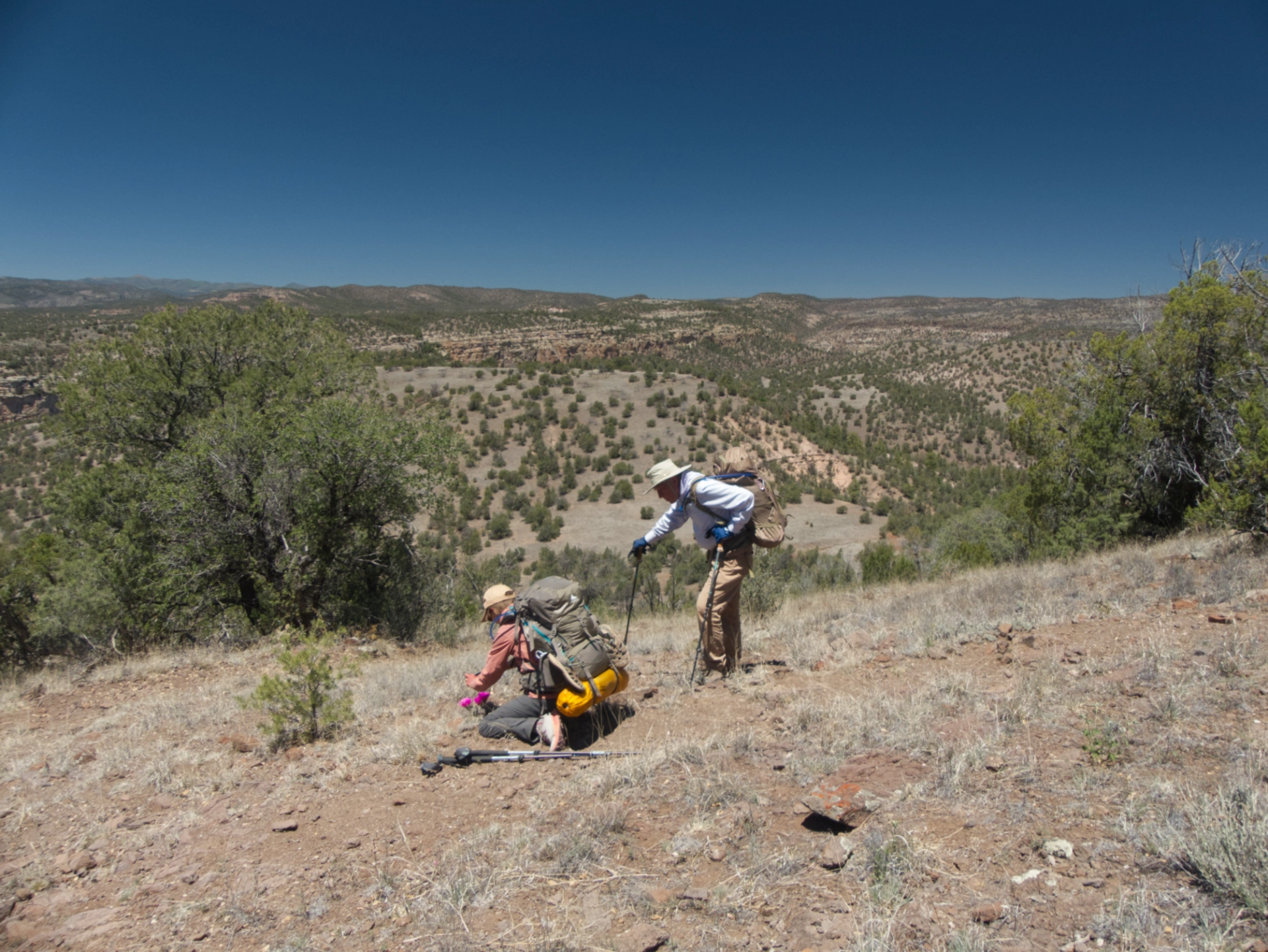
We redistributed some pack weight for the climb back up North Mesa, and it wasn't nearly as bad as we anticipated.
Since bipeds are not the primary users of the North Mesa Trail, the track is weirdly narrow. Unless you walk with one foot precisely in front of the other, your boots constantly bump against the edge of the trail.
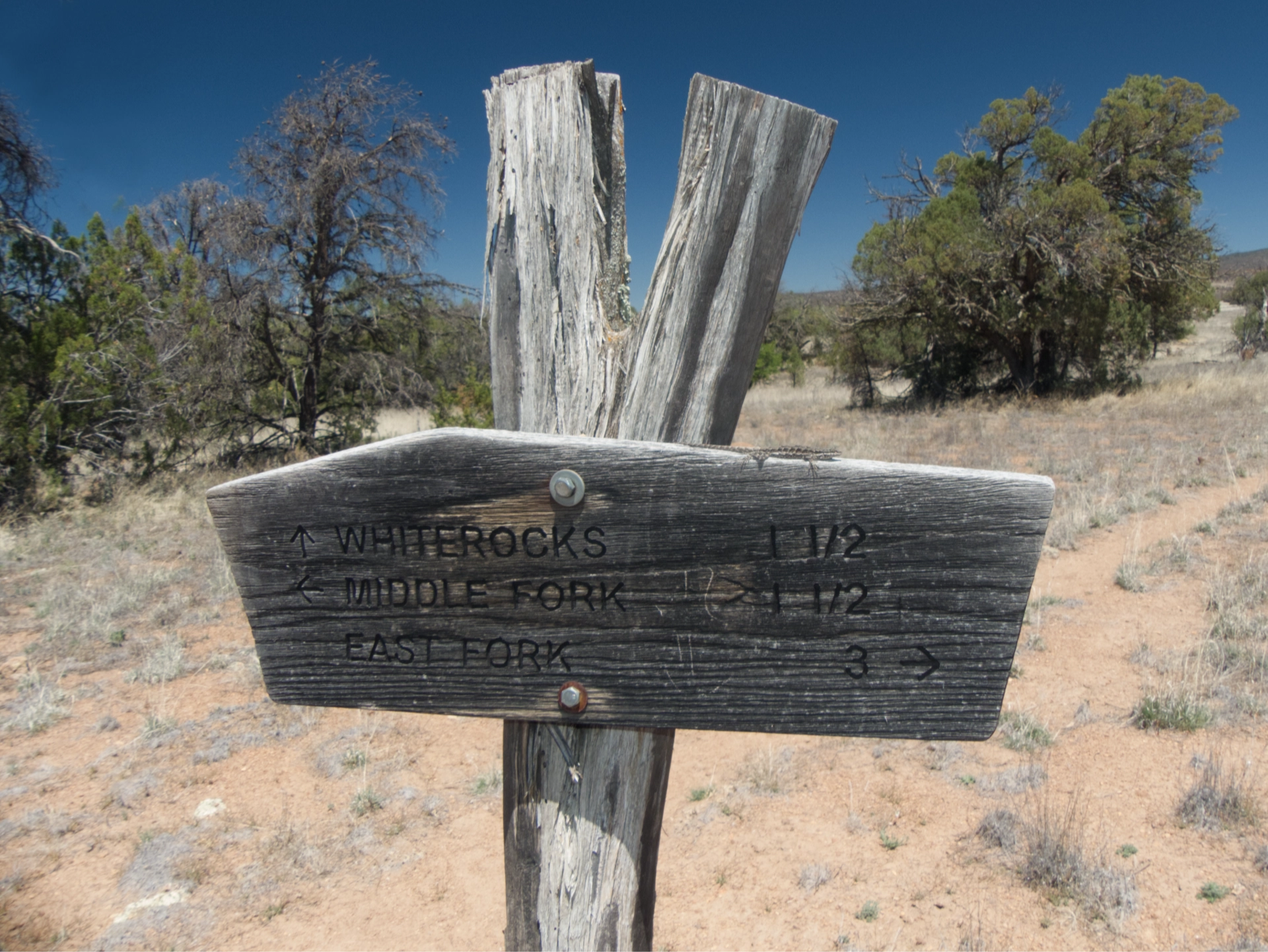
Lizard sunning on the sign at the White Rocks Trail junction.
From here to the Middle Fork, it felt like someone had collected all the rocks on the neighboring hillside and dumped them on the trail.
Every step required laser focus.
Full sun made for a less comfortable hiking, but compensated with great photo ops!

Horned lizard who seemed happy enough on a warm hiker's glove.
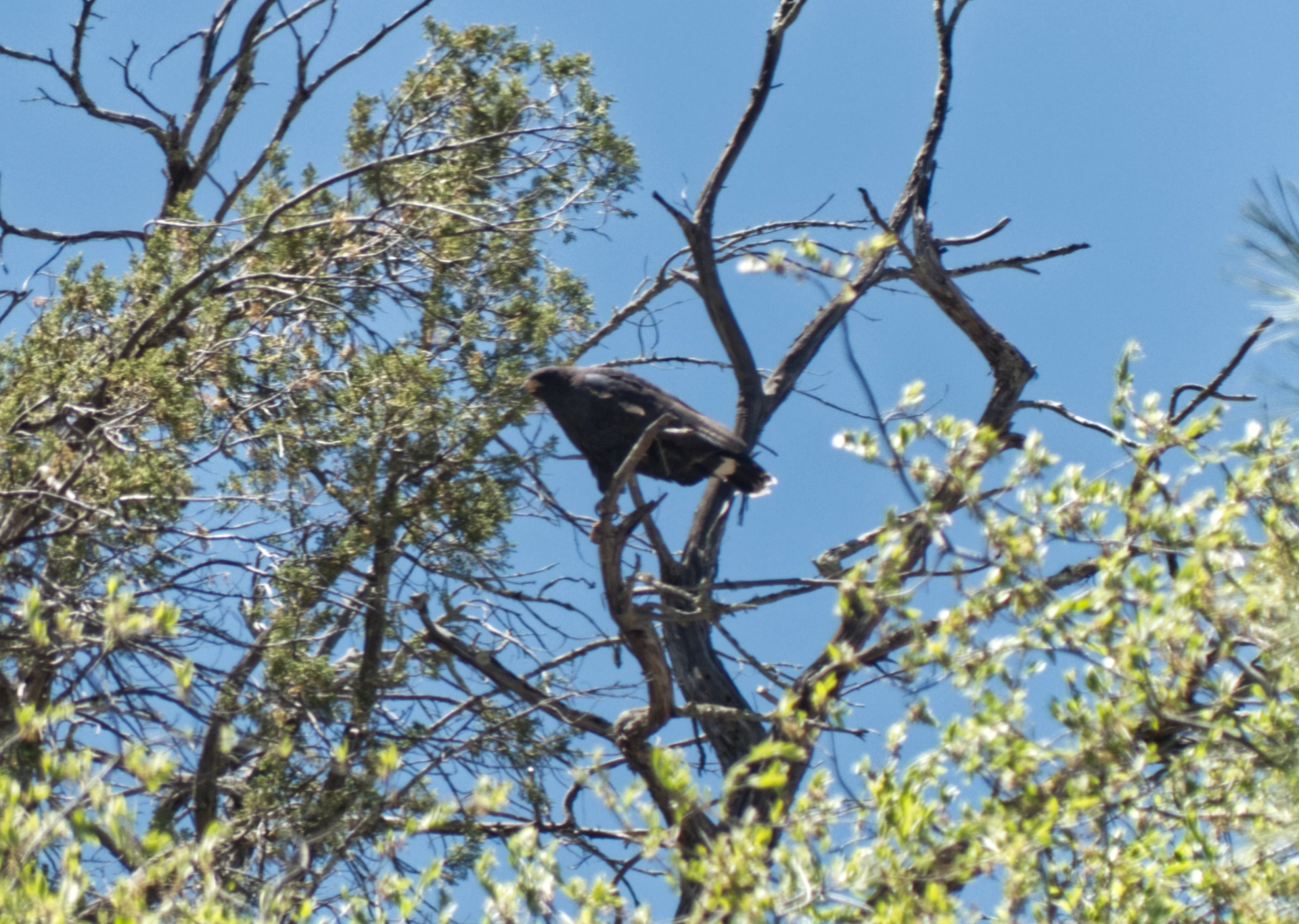
We saw a black hawk on the way in and again on the way out, in the same tree. There must have been a nest nearby.
A few of the many flowers we saw:
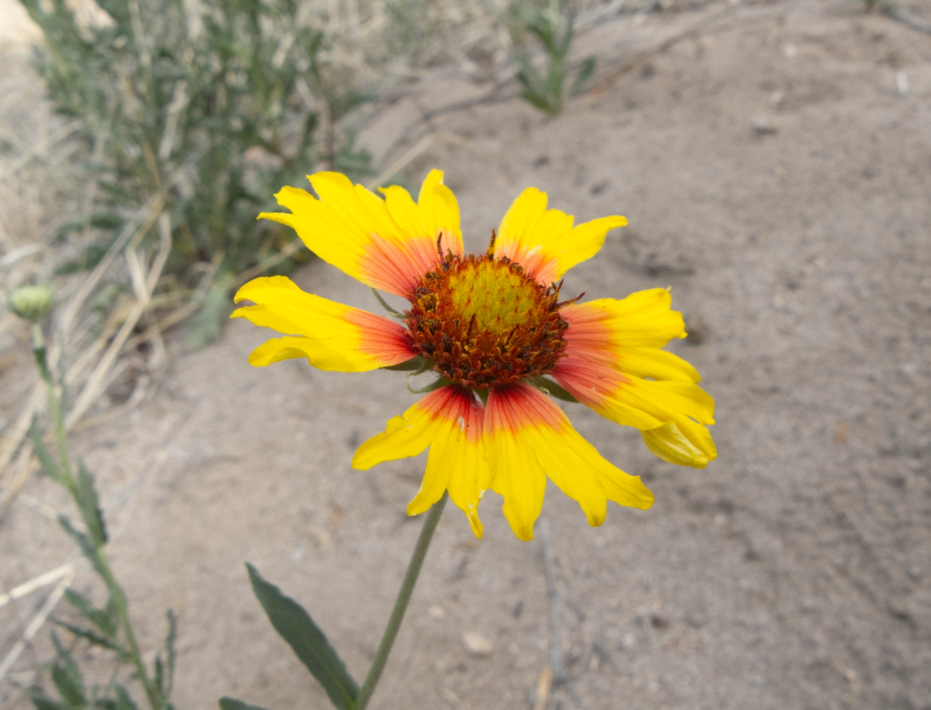
Blanket flower and hedgehog cactus
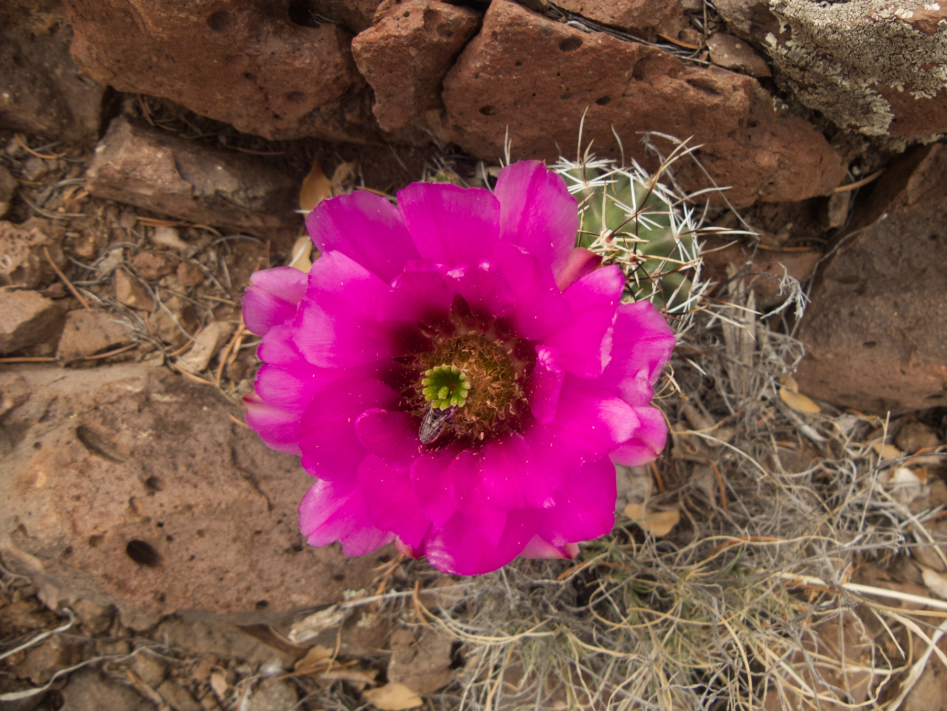
Claret cup cactus and hedgehog cactus (with a very happy bee)
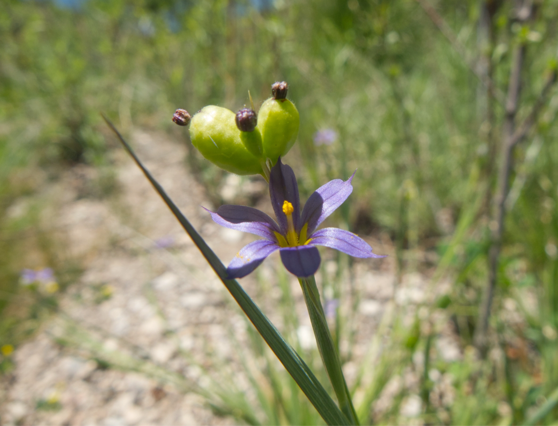
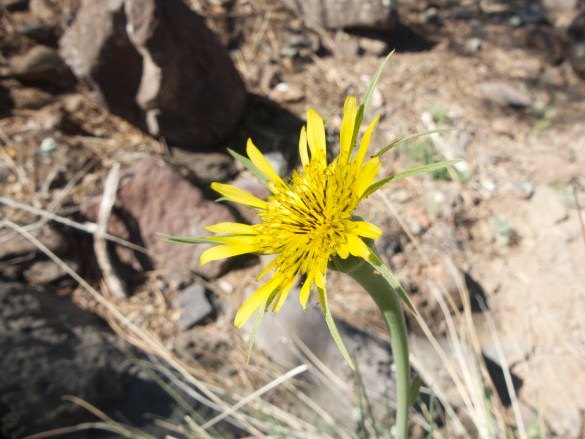
Blue-eyed grass and salsify.
