Gila Lower Box: The Canyon
December 2, 2023
It was 10 years ago that we wandered into the Gila Lower Box while exploring some back roads along the AZ-NM border. I've been hankering to return to the area ever since.
There are very few roads in the area, and they are even fewer and sketchier on the ground than on recent maps. Just like last time, when we ran out of road, we set up camp for the night.
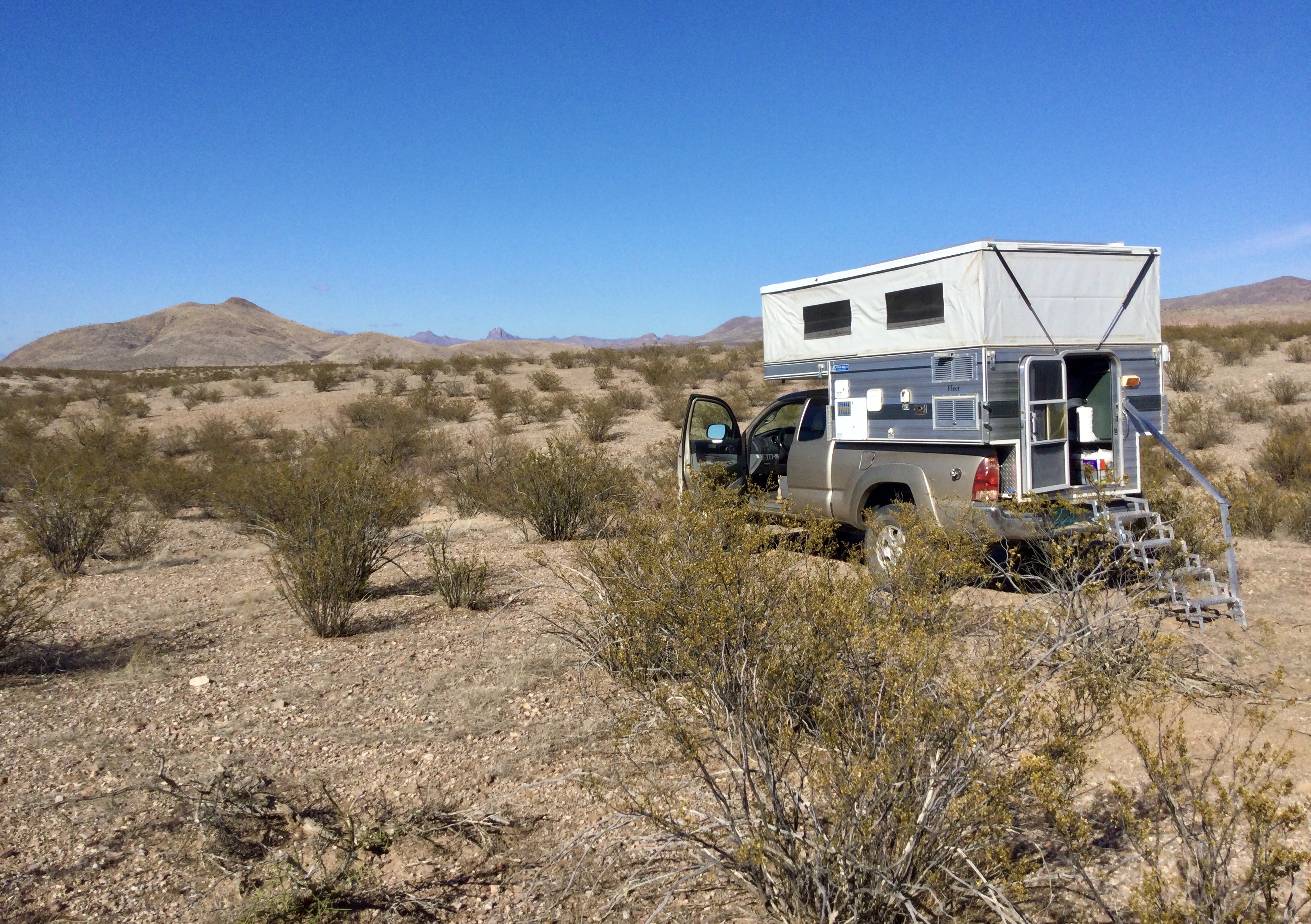
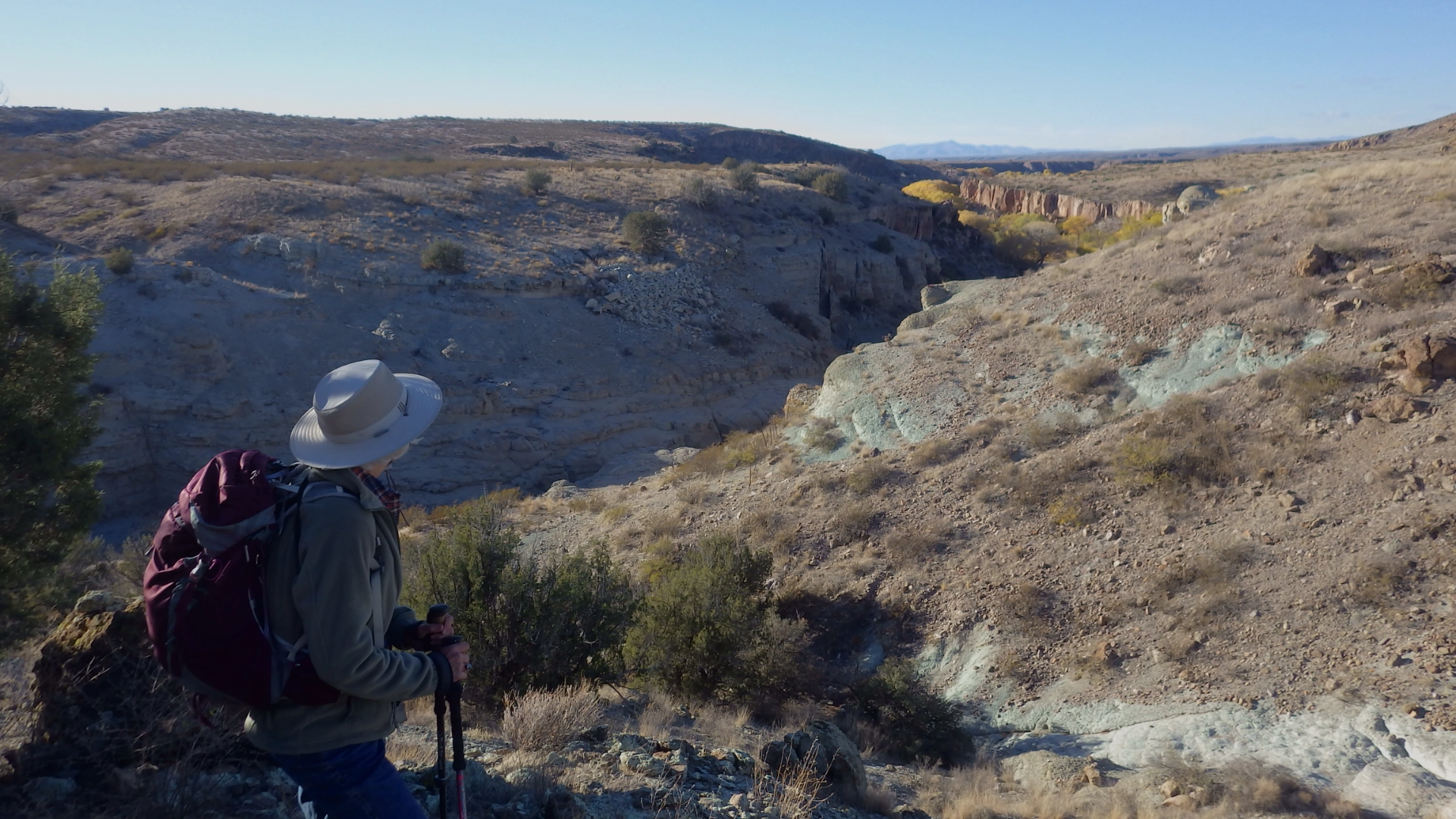
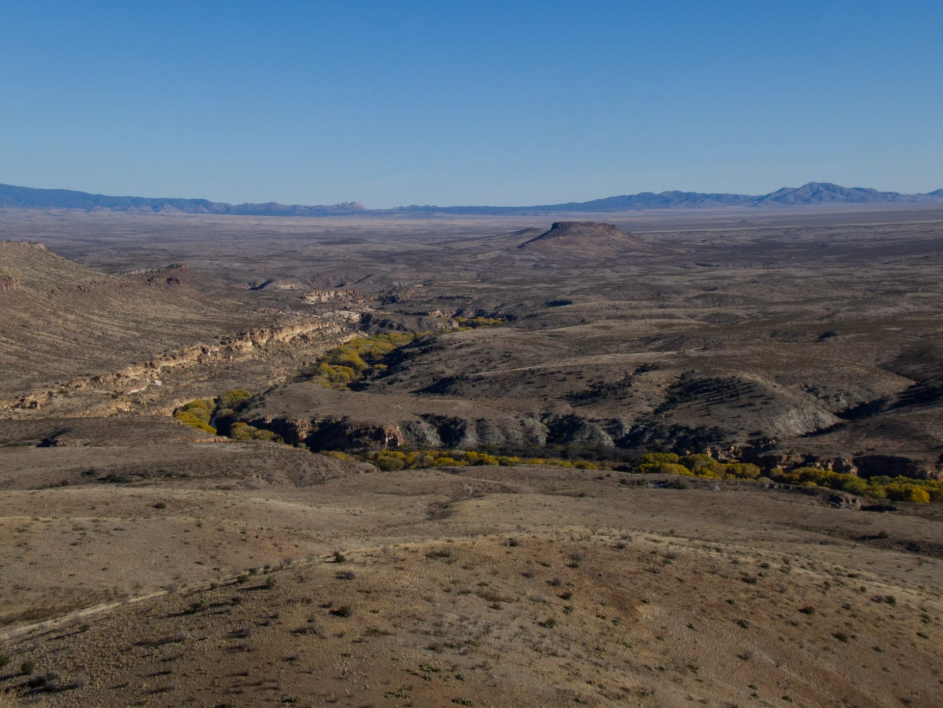
And off we went, over stony ridges and across sandy washes, aiming for the same canyon we followed to the Gila River 10 years ago. One big difference from a decade ago: when we reached the main canyon, there were tire tracks. A lot of tire tracks. Yikes!
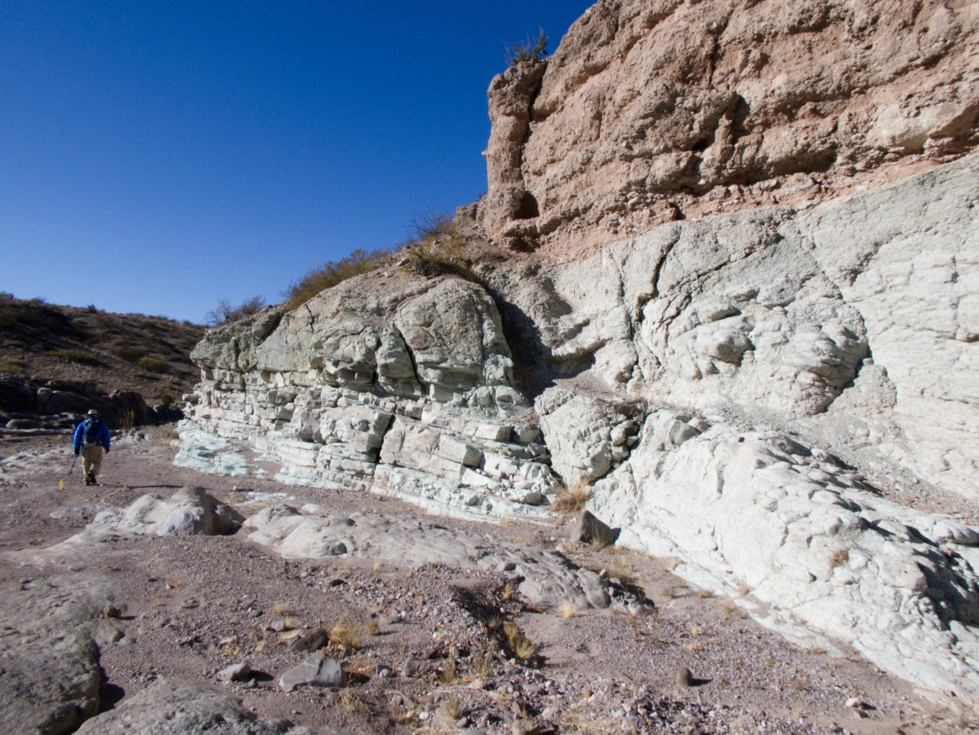
Passing by a seam of friable mint-green rock. The photo does not do it justice. It is VERY GREEN!
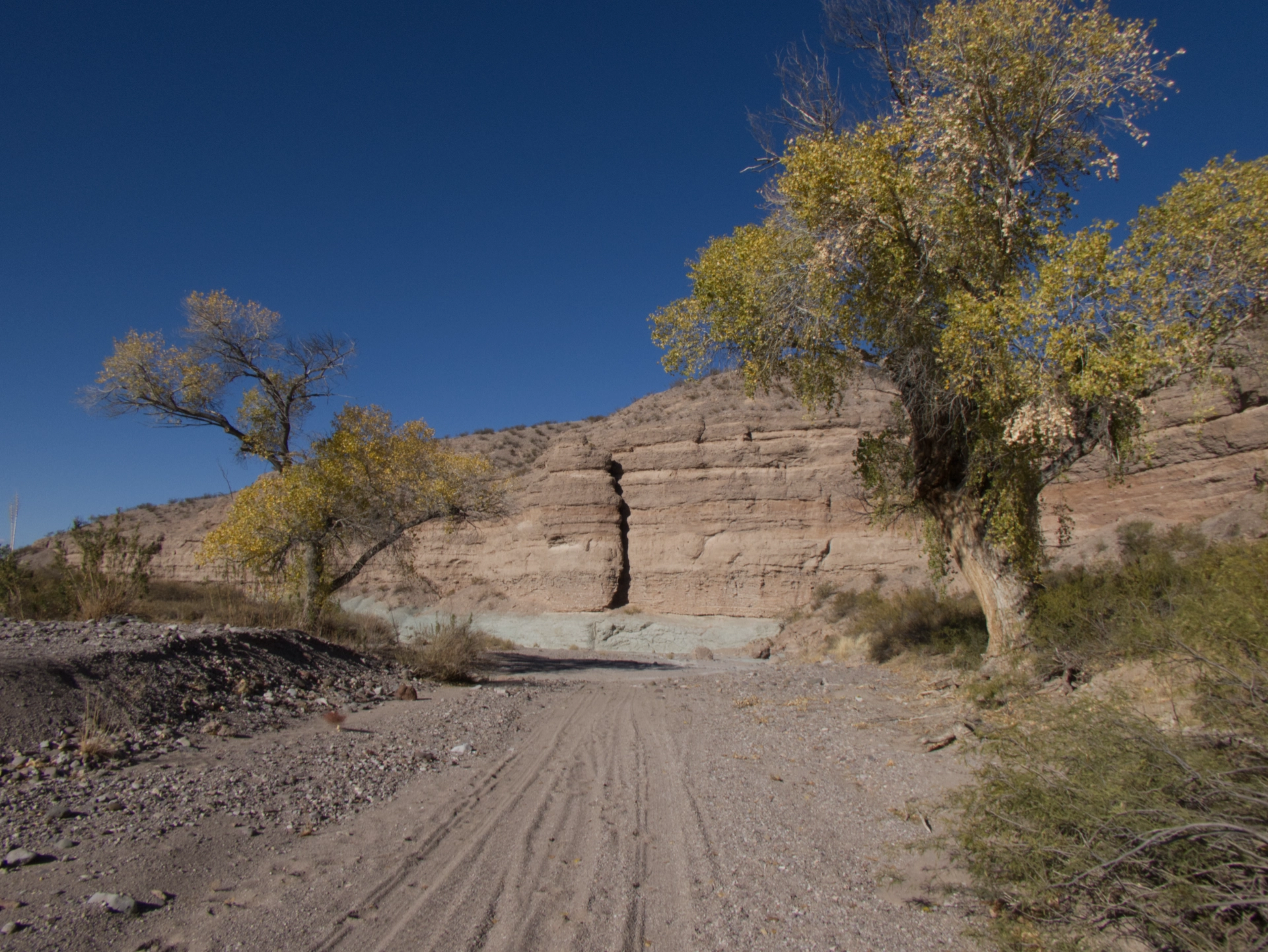
Soon enough, we dropped into a series of narrow slots with walls of knobby gray-green tuff.
No more tire tracks!
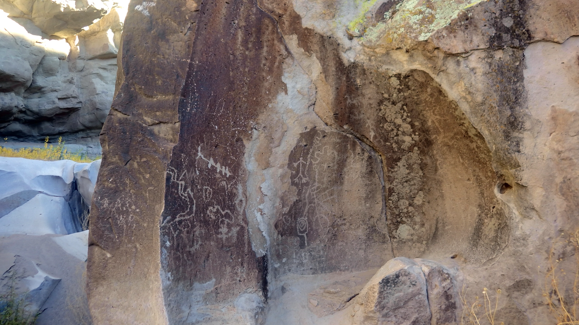
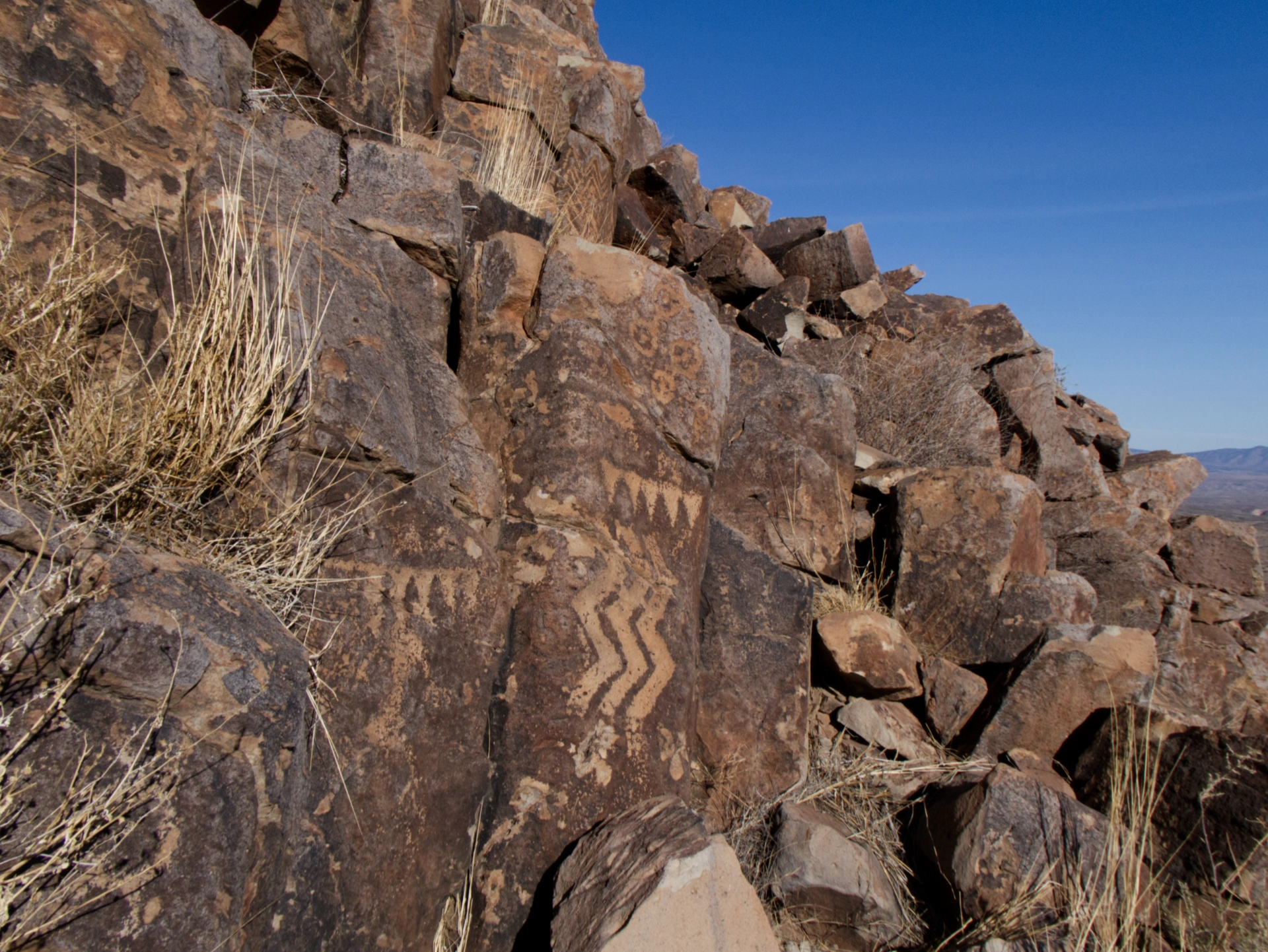
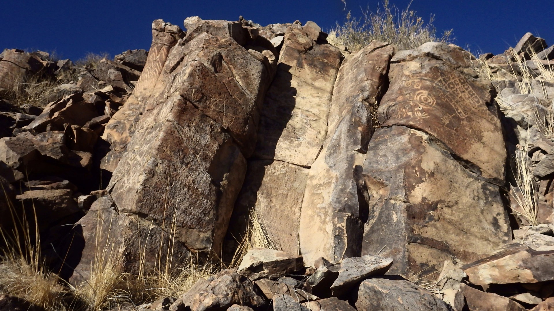
Suddenly the canyon opened up near a basin of water, and nearby were several petroglyph panels I had not remarked on our previous visit.
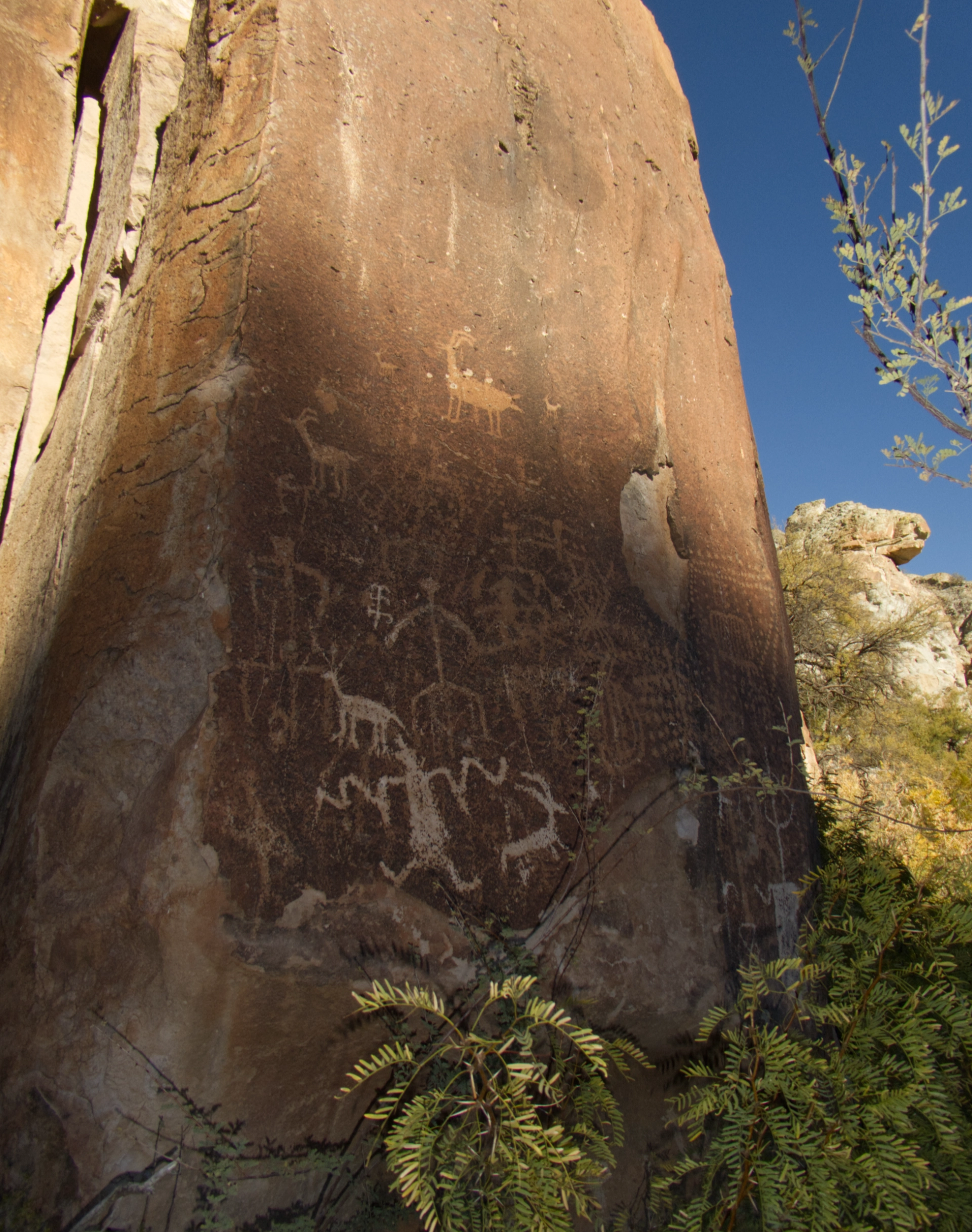
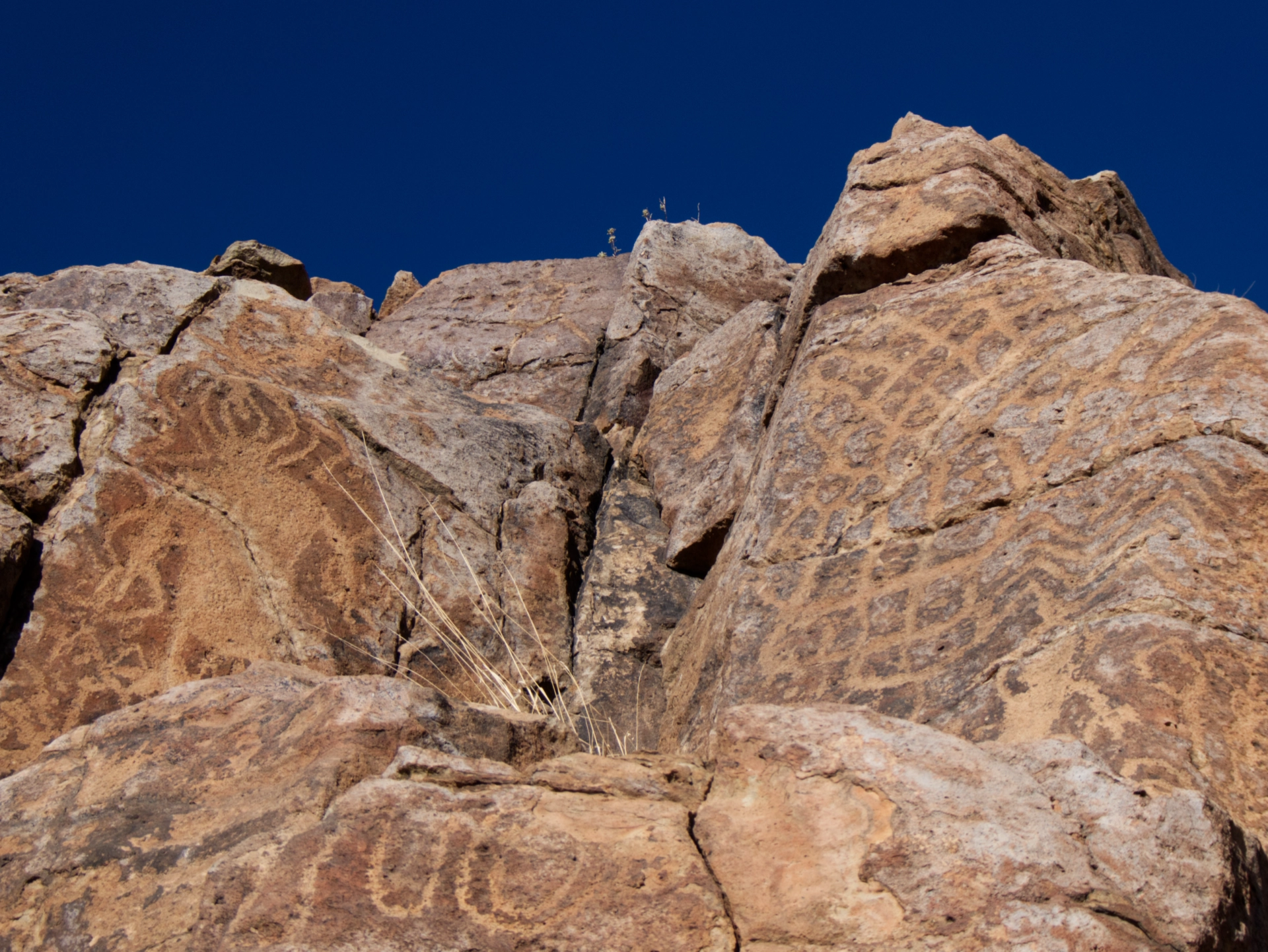
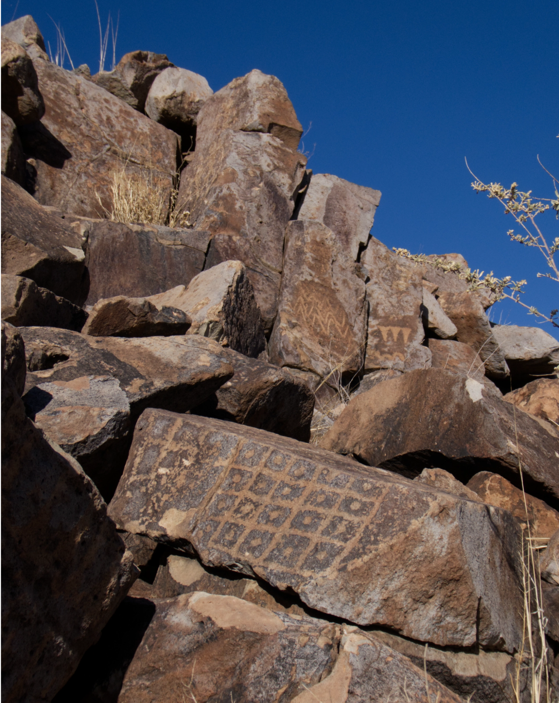
There appear to be several layers of glyphs on this rock wall, possibly made at different times.
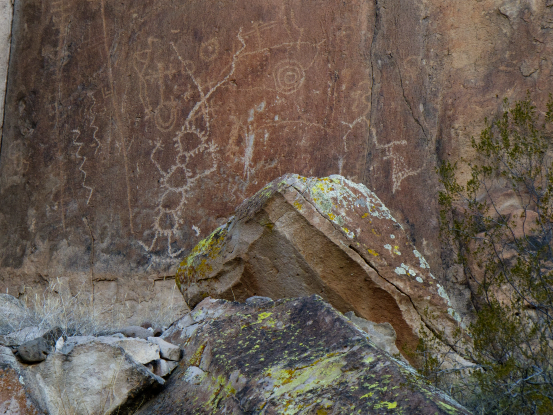
There's so much going on in this panel! A friend speculated that it commemorated the time "Uncle Bob got struck by lightning". Or maybe the time Uncle Bob tangled with a prickly pear cactus?
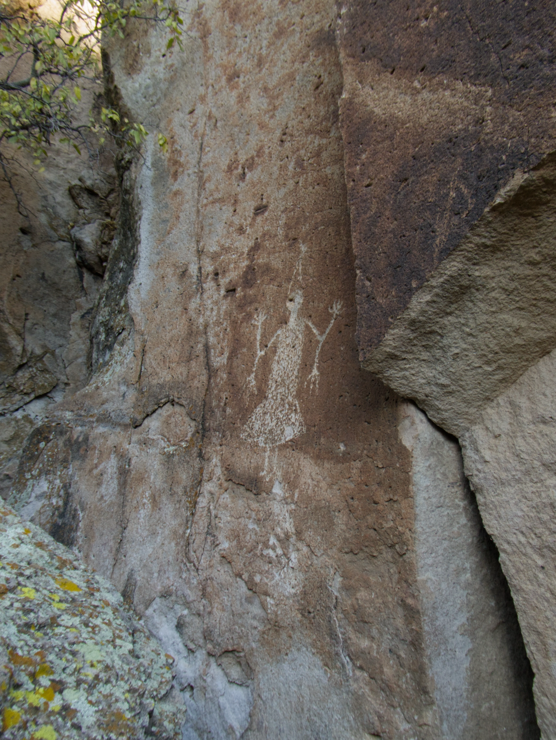
This figure appears to be female.
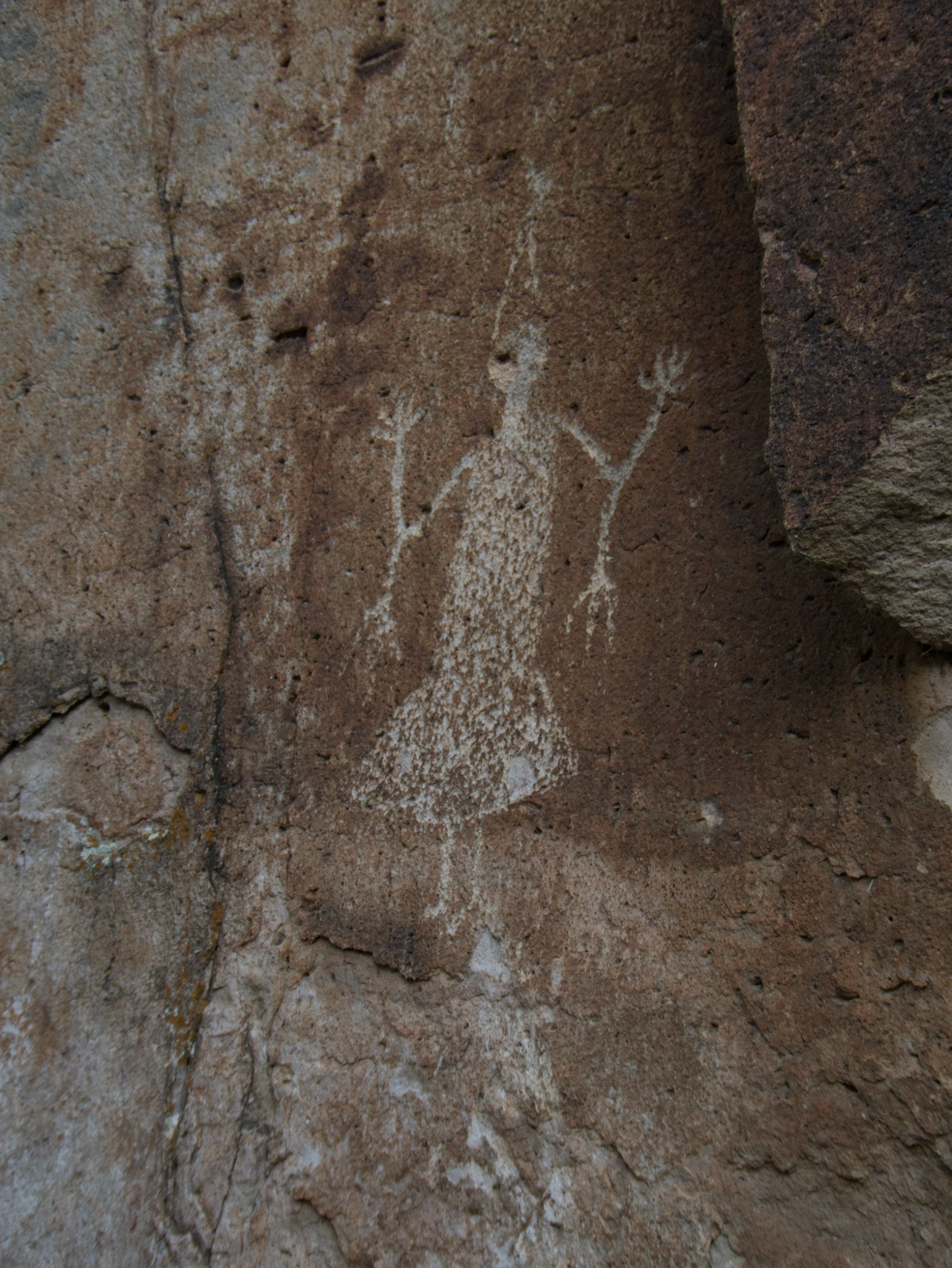
She has what every woman needs during the holidays: an extra pair of hands!
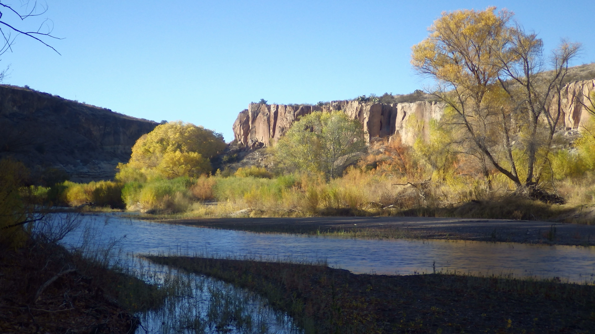
It was getting late by the time we reached the river, but the cottonwoods were glorious in the late afternoon sun.
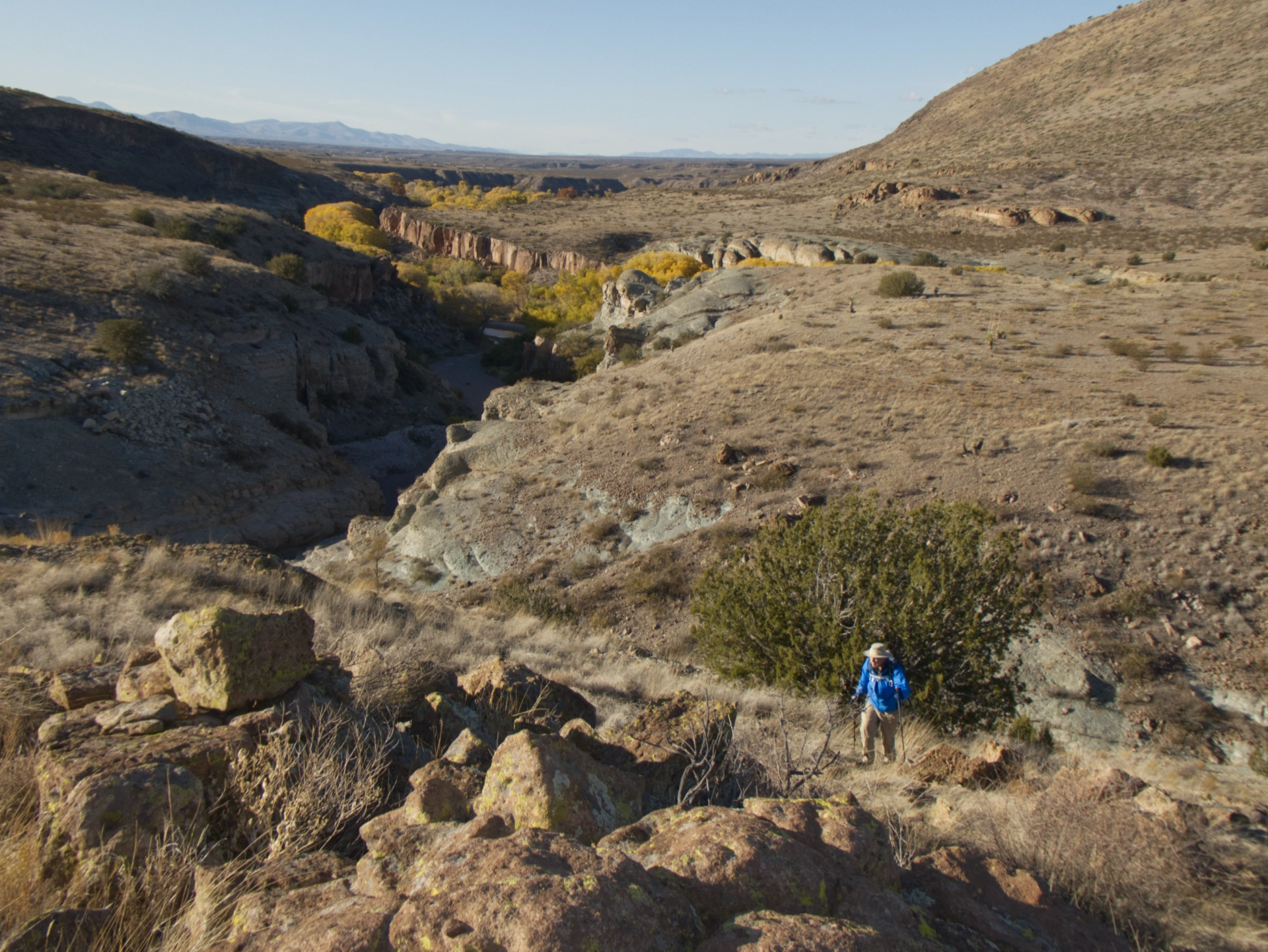
Since no hike is complete without a bushwhack, we hauled ass up and out of the canyon.
We made our way back to camp following the ghost of an old road.
Gila Lower Box: The Mountain
December 3, 2023
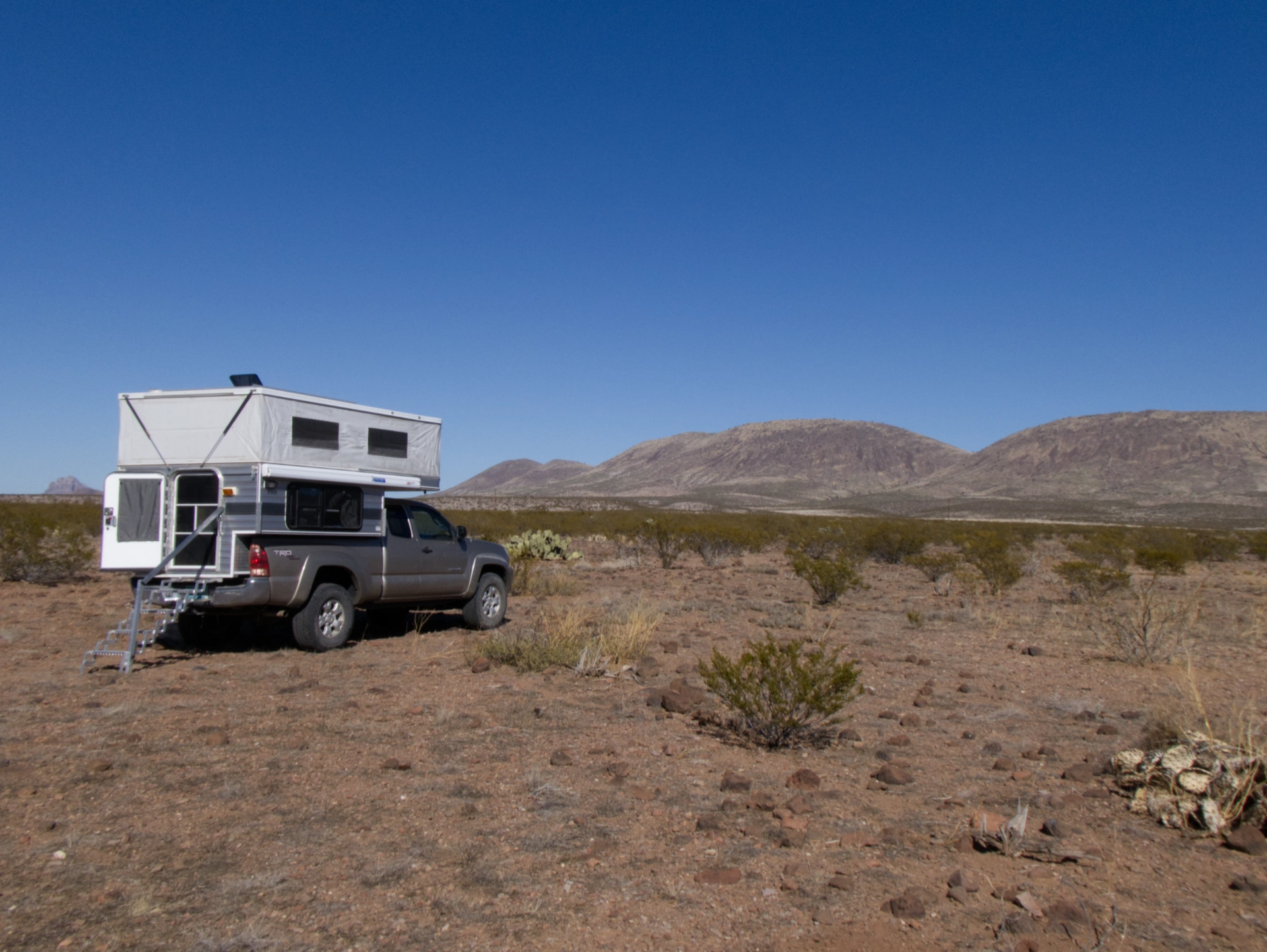
After checking out a few other possible approaches, we relocated to a campsite on the opposite side of the river. It had everything I wanted in a campsite: nothing!
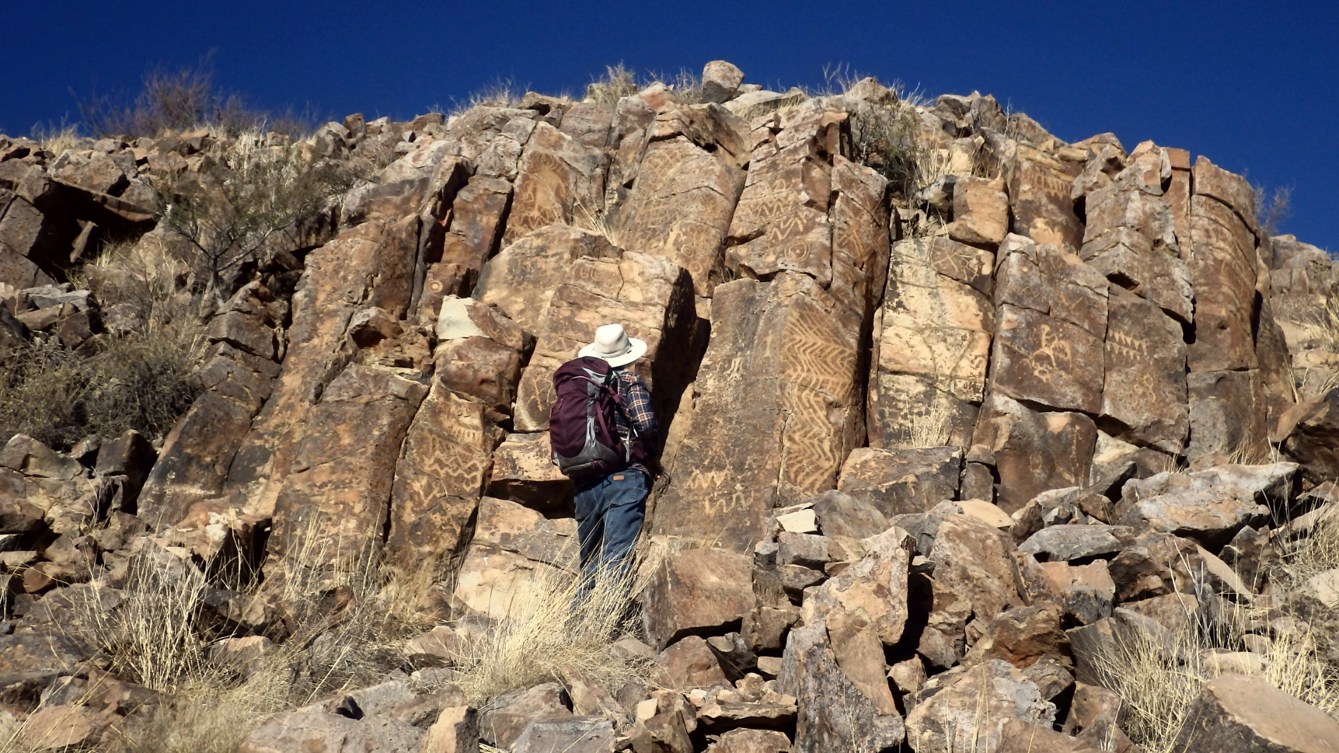
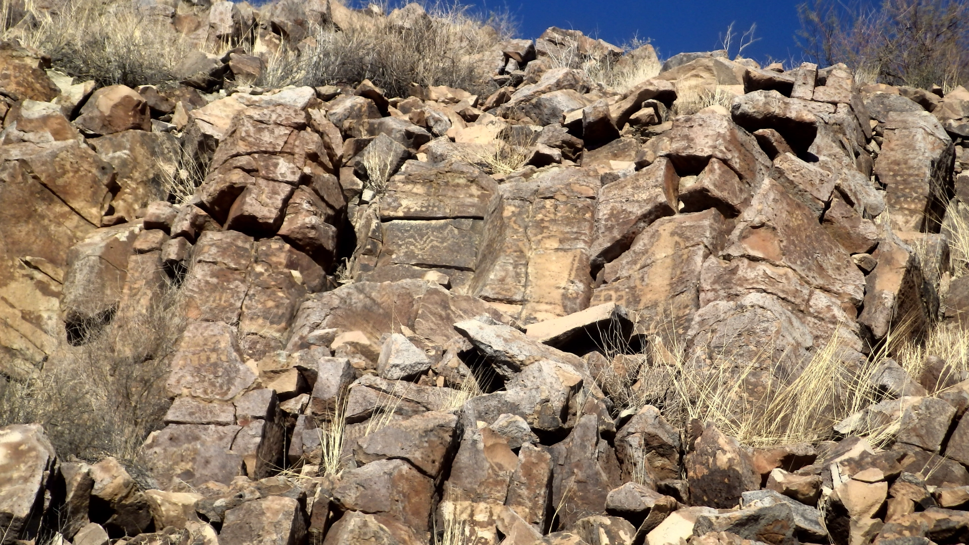
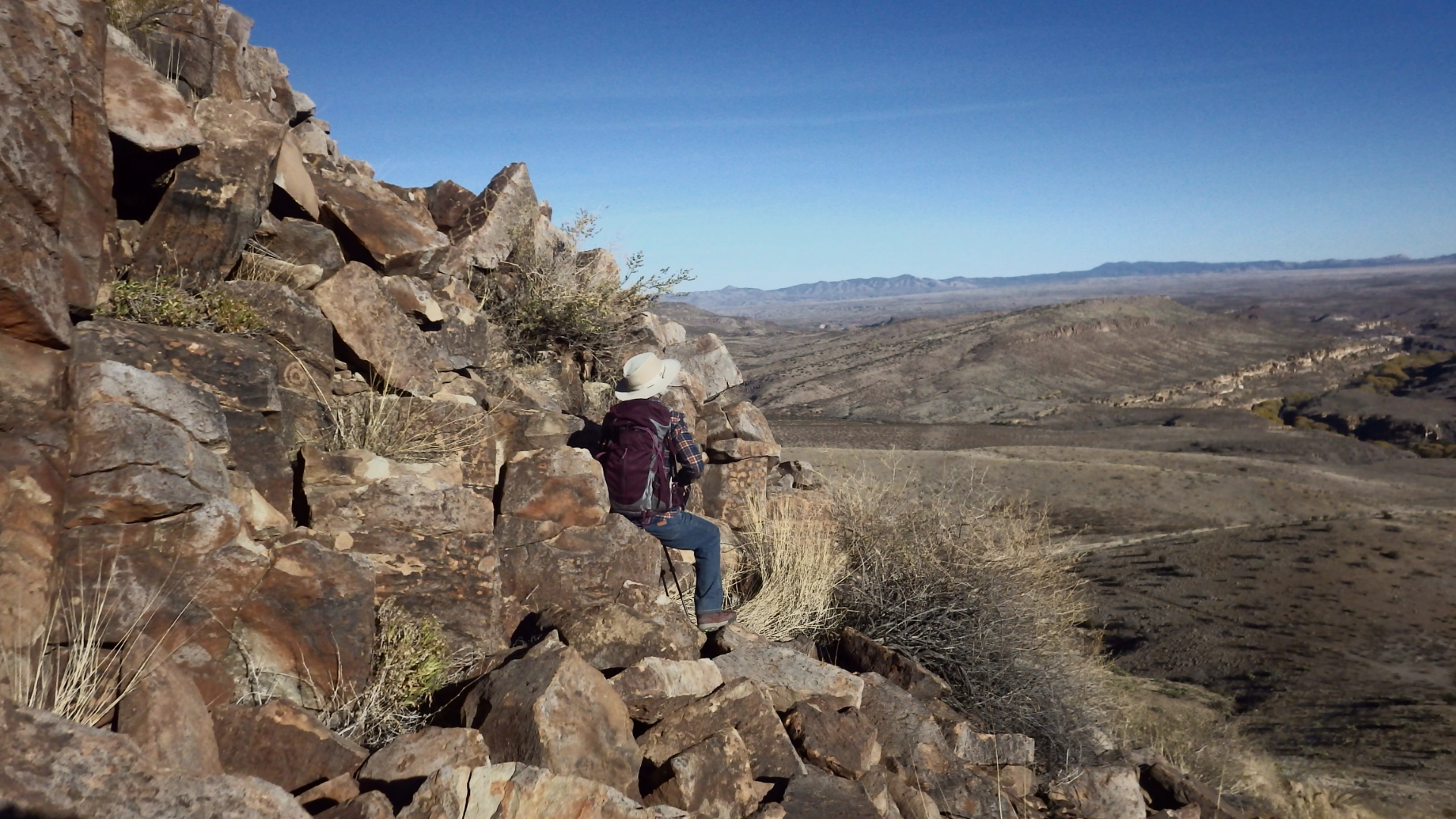
Was the hike this difficult last time, or am I just 10 years older? The last half mile is about a 45° grade over very chunky volcanic rocks.
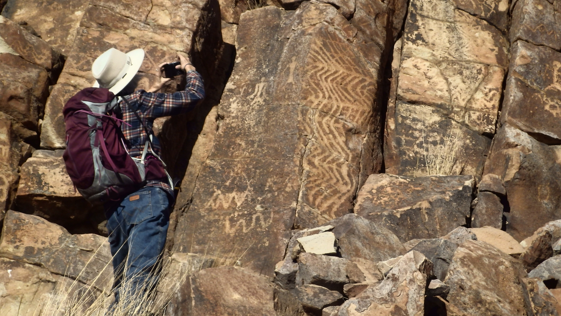
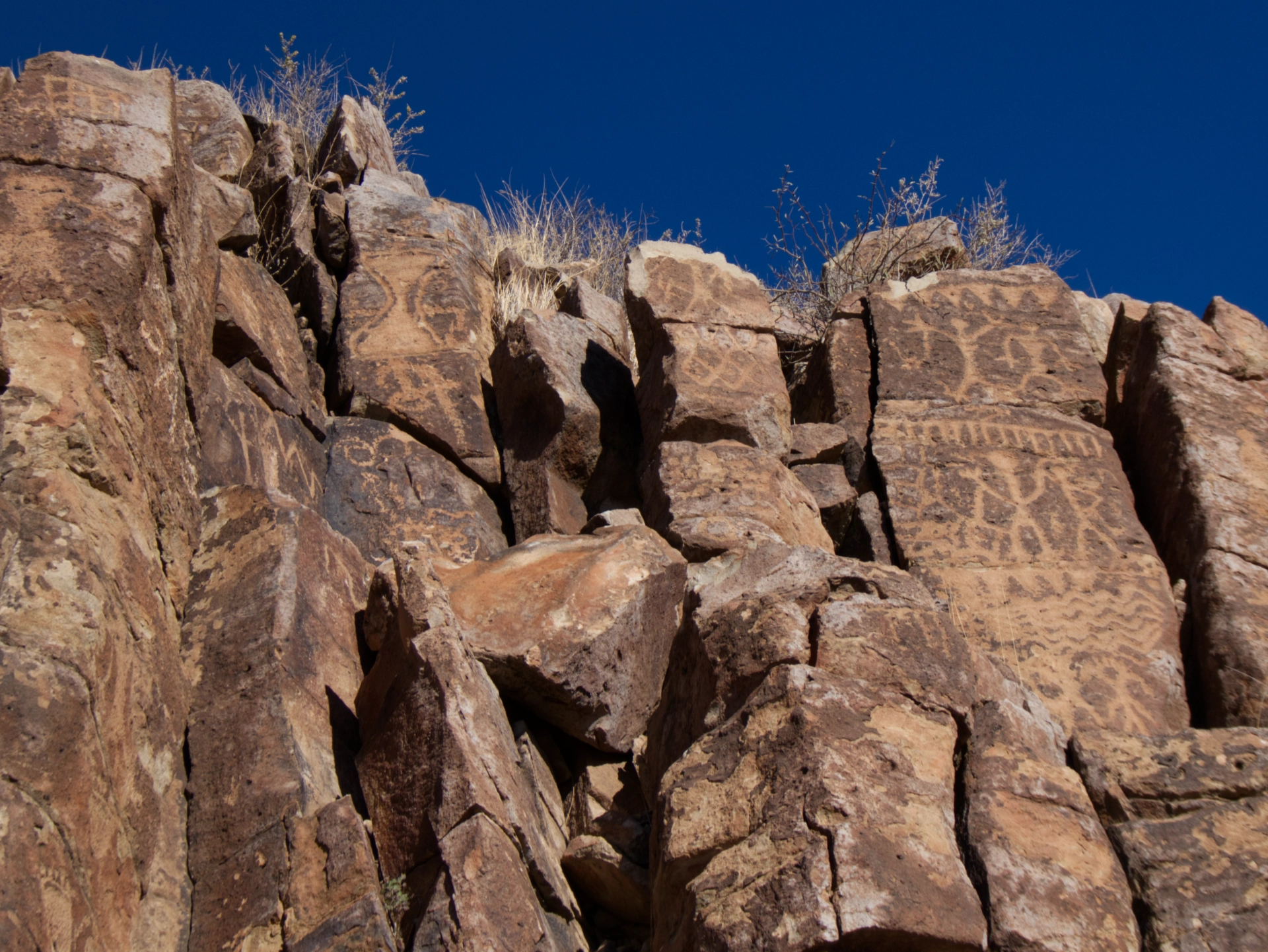
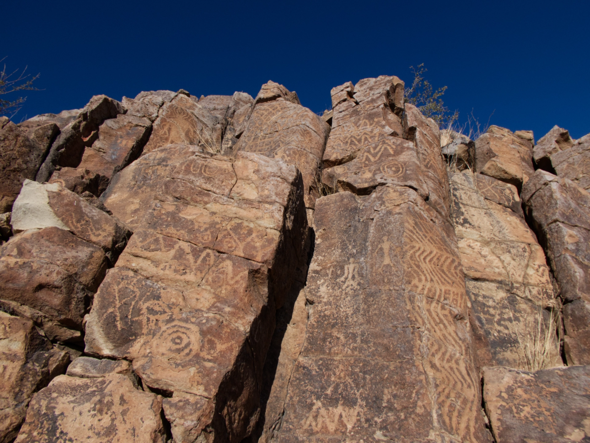
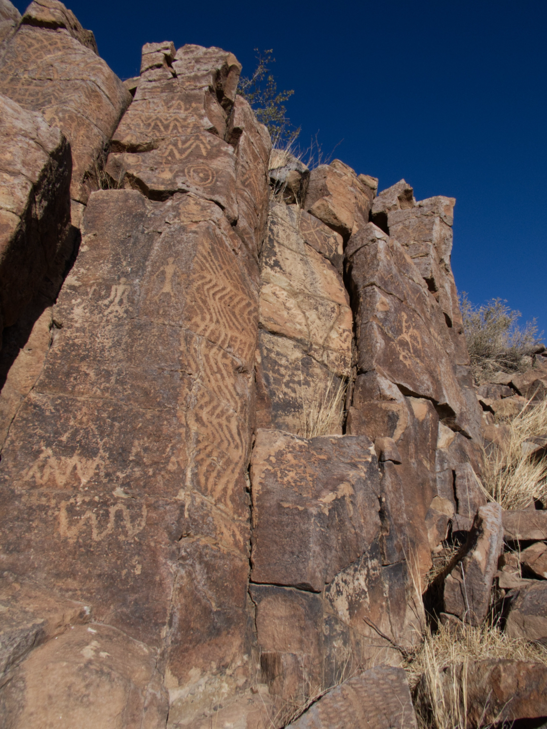
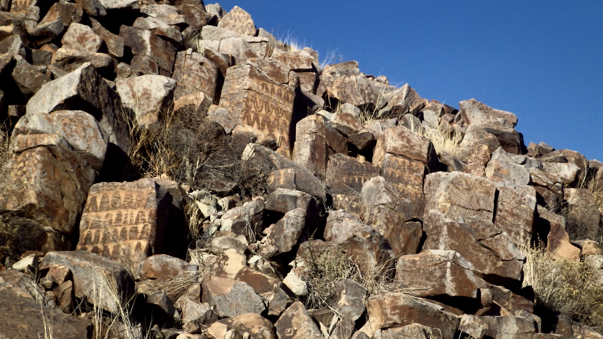
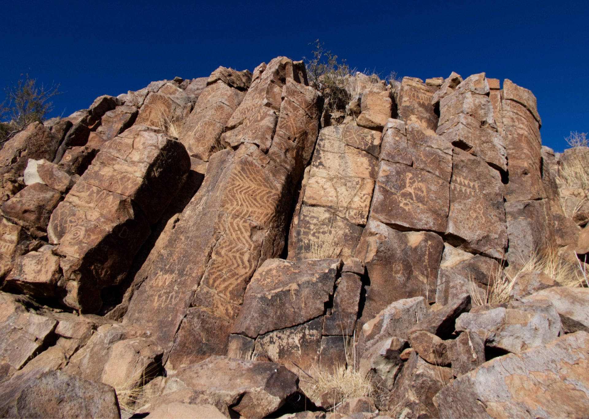
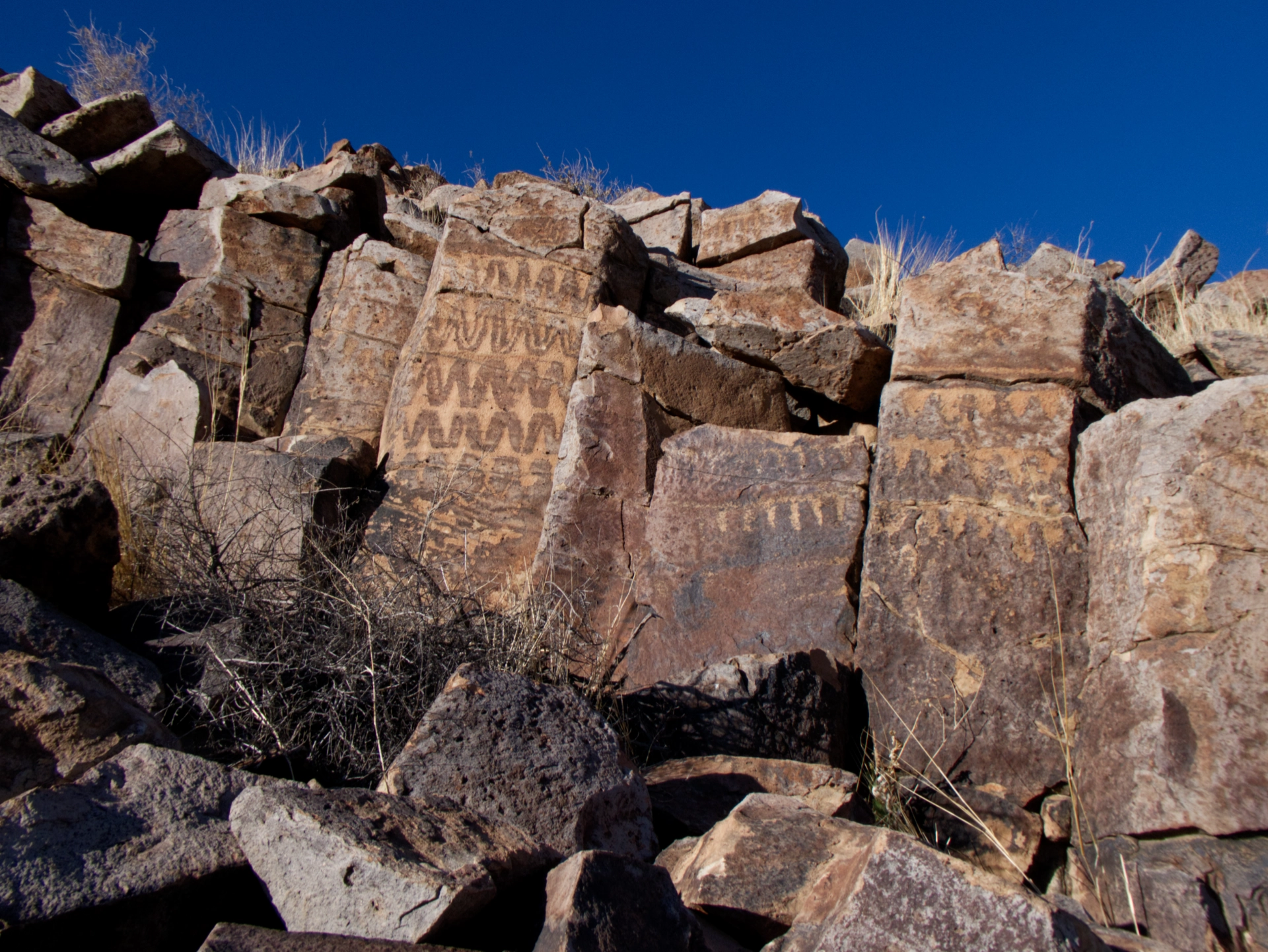
But just like last time, I was blown away by these panels, which look completely different than the other petroglyphs in this area.
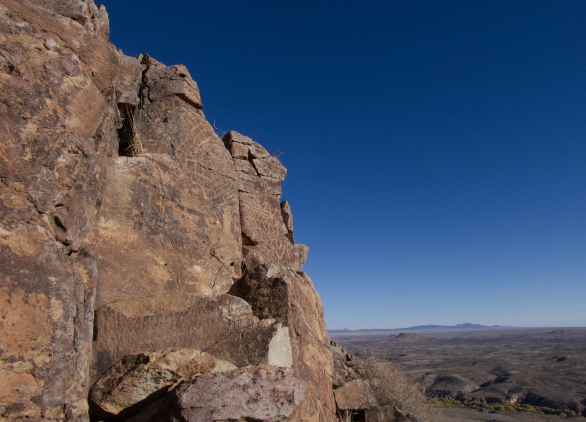
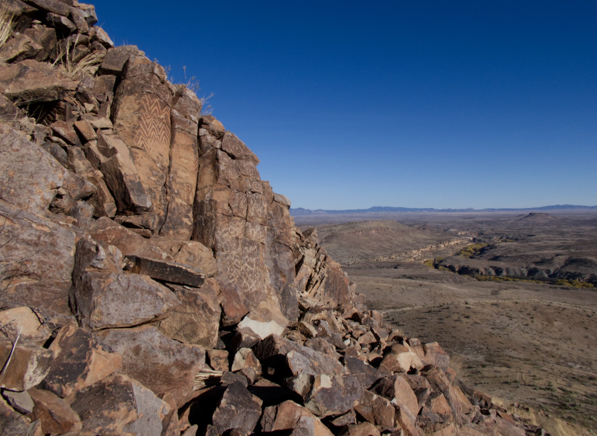
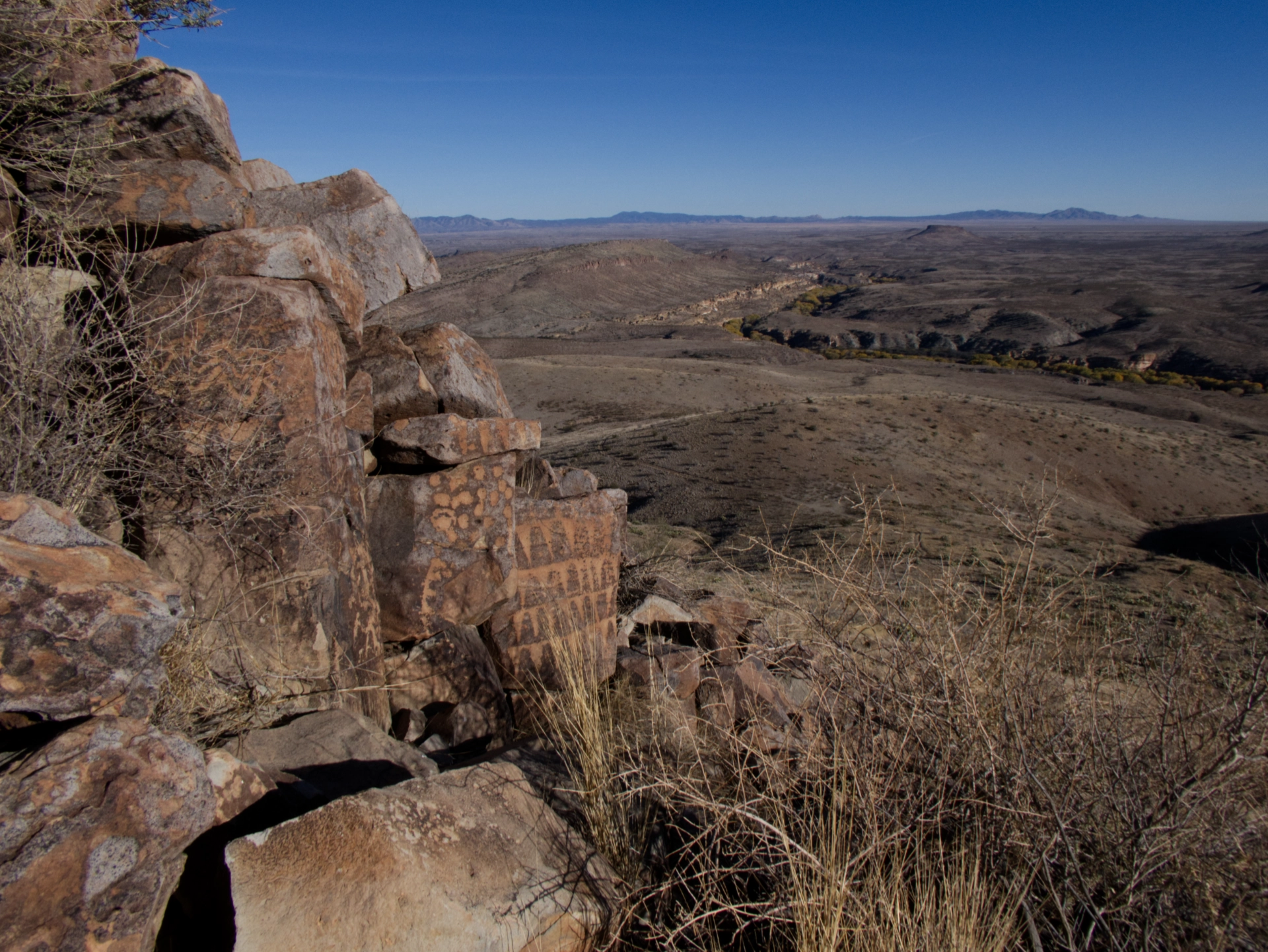
I was so fascinated by the petroglyphs that I barely took the time to contemplate the view from the summit.
And that was when I began to wonder how the F I got up here, and how I was supposed to get down?
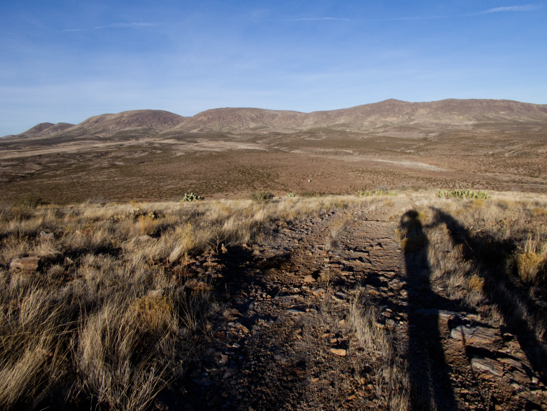
Walking back. The tiny white dot is our camper. For days now, whenever I've had internet, I've continued to try to learn more about the glyphs atop the mysterious mountain. Finally, deep in an academic paper, I saw them described as "Trincheras rock art", which features a preponderance of geometric patterns. I knew about trincheras, but I thought the term applied to certain ancient town sites in Mexico. But "cerros de trincheras" occurred in southern New Mexico and southern Arizona as well. They are typically found on conical volcanic hills, where rock retaining walls were used to create multiple terraces that supported habitations and farm plots. The upper terraces were reserved for rituals, and a circle of stones at the top may or may not have been a covered sanctuary. The Trincheras culture was contemporaneous with the Hohokam, roughly dating from AD 200 to 1150. This revelation runs counter to everything I thought I knew about the early inhabitants of the desert Southwest, and I can't stop thinking about it!
At sunset, a gaggle of Sandhill Cranes winged overhead, warbling like velociraptors. Like them, I know I have to go back!
