Over the Mountains from Fort Bayard to Allie Canyon
May 9-11, 2024
Allie Canyon is one of my favorite hikes, but I've always wanted to go farther up the canyon. Or maybe even do a through hike from Signal Peak or Wood Haul Canyon Road. The balance tipped toward Wood Haul/Allie Canyon after several hikes that took me up that rough road that was used to haul wood from the Pinos Altos Range to Fort Bayard. There are tremendous views from the mesa above Fort Bayard, and we knew that in 2023 the Gila Trails crew had cairned and brushed the Bear Canyon Trail that runs from Wood Haul Wagon Road to Allie Canyon.
It had been two years since our last backpacking trip, and we are older than dirt, so we decided to err on the side of caution and break up the roughly 15-mile trek into three relatively equal sections.
Of course water was an issue. Allie Canyon has a permanent stream, but the only other sure source of water along our route was a small spring past the top of the mesa that feeds into Cameron Creek. So we made plans to start out with two liters of water apiece and then pump four liters each at the spring to carry us through the second night.
It took several days to assemble and test all our gear. Although most of our backpacking gear was considered ultra lightweight when we bought it, it's 10-20 years old now. We were dismayed that despite leaving all the little luxuries like our backpacking chairs, fresh food and wine, our fully loaded packs tipped the scales at 30 to 35 pounds apiece.
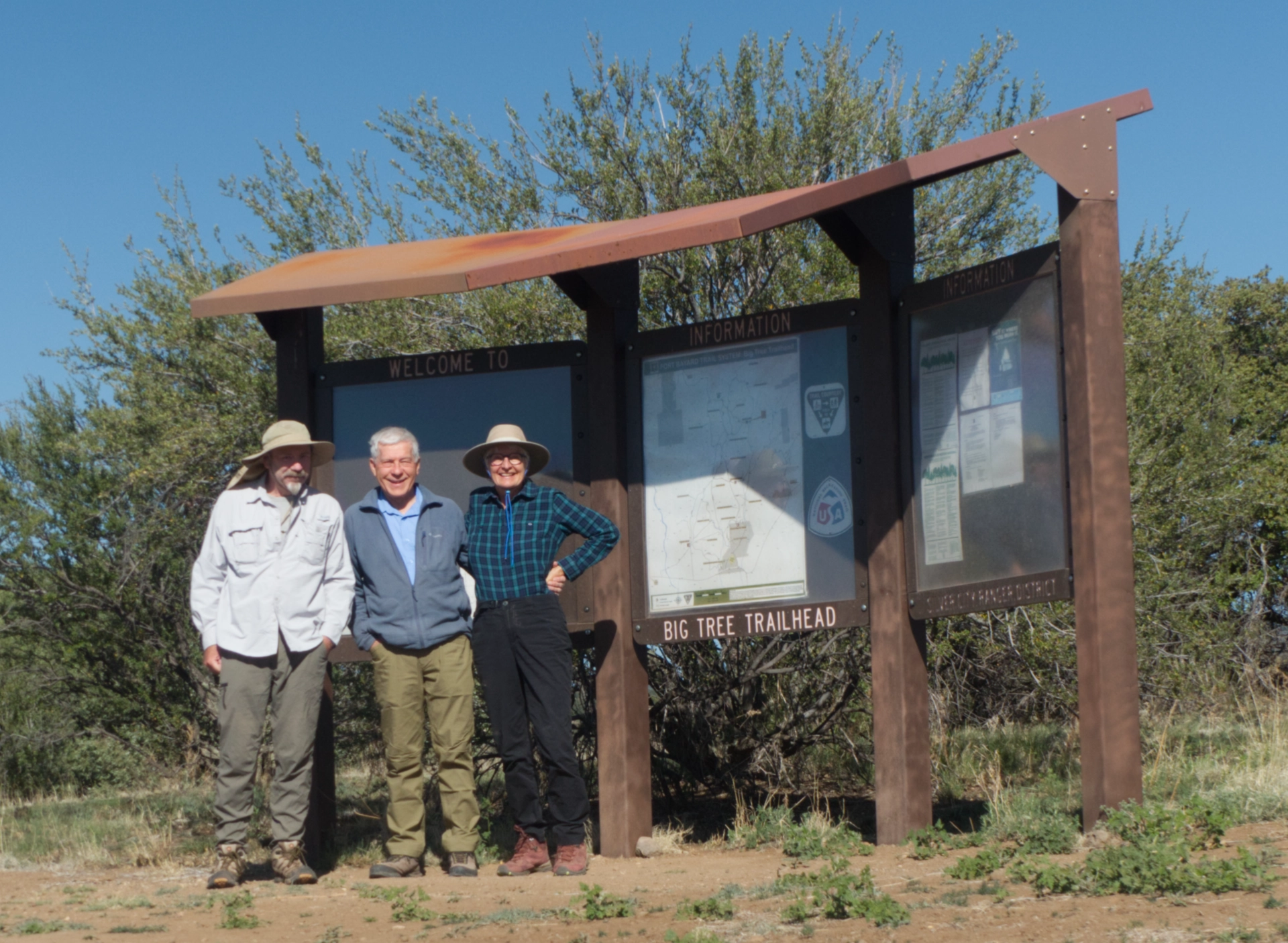
The night before our trip, we dropped off my truck at the mouth of Allie Canyon, approximately a two-hour shuttle. Ken met us at the Big Tree trailhead at 9 the next morning and we started our hike.
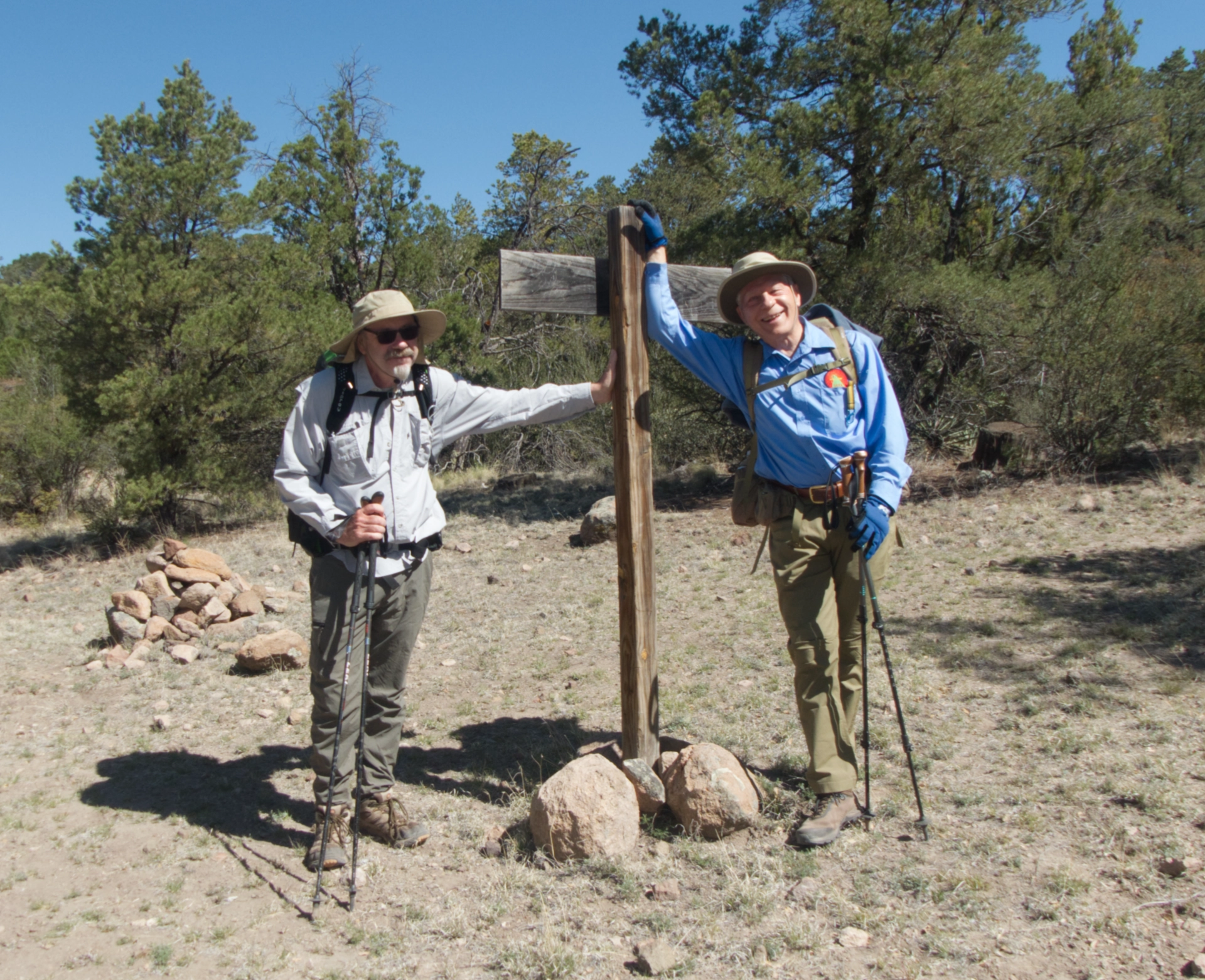
At the junction with Wood Haul Wagon Road (mile 1.8). It was a lovely day, with clear skies and a fresh breeze.

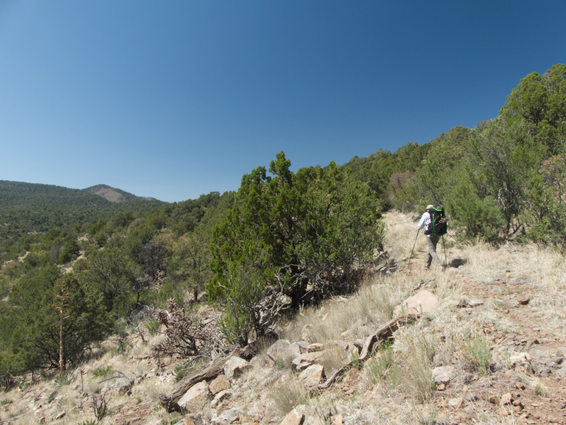
Starting the steep and rocky climb to the top of the mesa. This is the section I helped clear a few weeks ago with the Gila Trails crew.
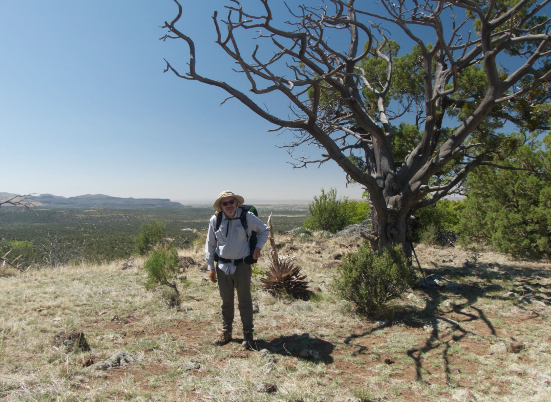
See-forever views from the top of the mesa (mile 2.8).

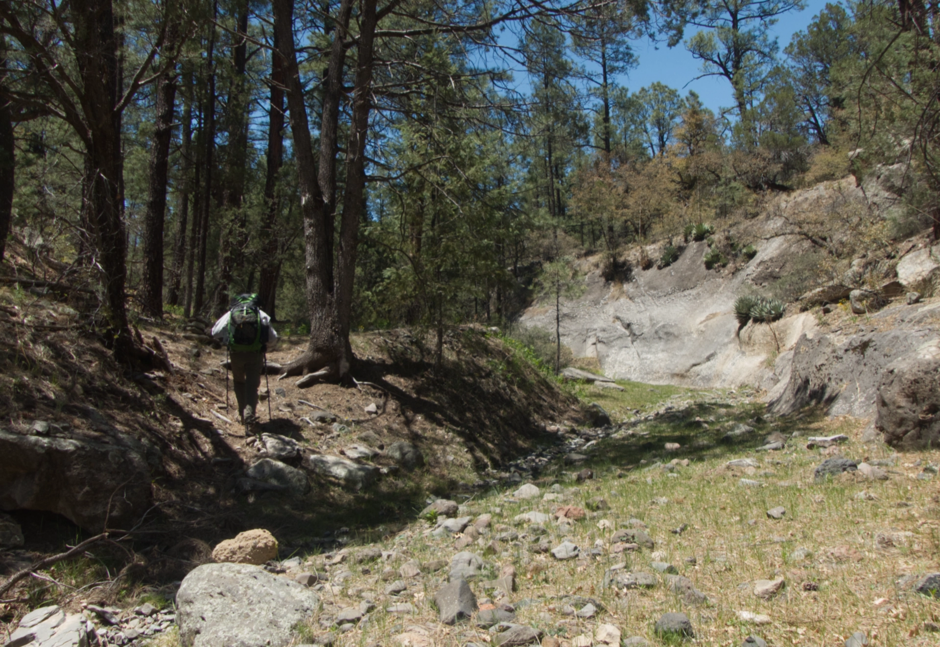
We were on the lookout for a spring that our maps indicated was just downhill to the left after we reached the summit. The trip depended on finding water at this spring, since we'd only packed in enough to get us through the first day. We followed a well-worn path heading toward a spring above Cameron Creek, but it was bone dry. We pushed on, past two old tumble-down stone cabins, following the trail across a mesa top and down a very steep and rocky slope into a narrow canyon, where at last we found the tiniest trickle of water. We lost about two hours here, between locating the water, carefully pumping four liters apiece, and then hauling it back uphill to where we'd left our packs (mile 3.5).
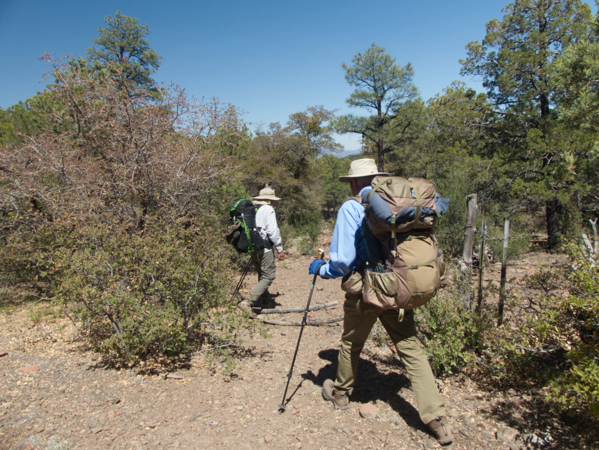
We knew the climb up from the wagon ruts would be brutal, but were surprised that after reaching the mesa top, the road continued climbing steadily through an area with very little forest cover.
But the views were stupendous. The distant mountain with the large burn scar may be Black Peak, 9029'.
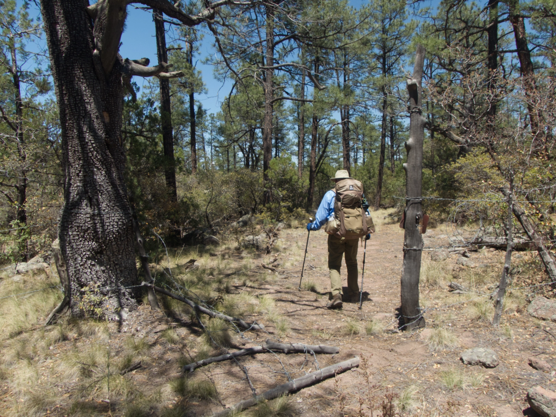
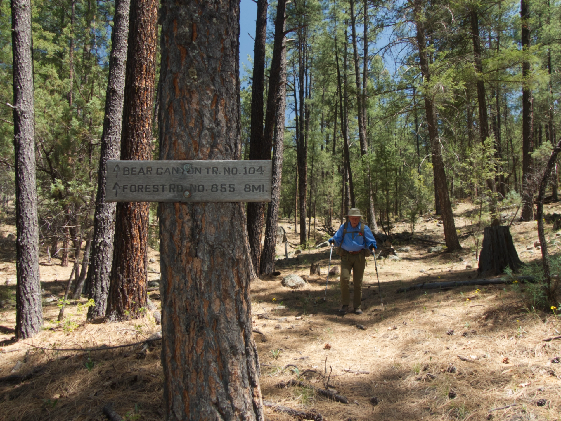
Once topped out at about 7800', the Black Range popped into view, and we reentered the Ponderosa pine forest as we descended toward the junction with Bear Canyon Trail (mile 4.3).
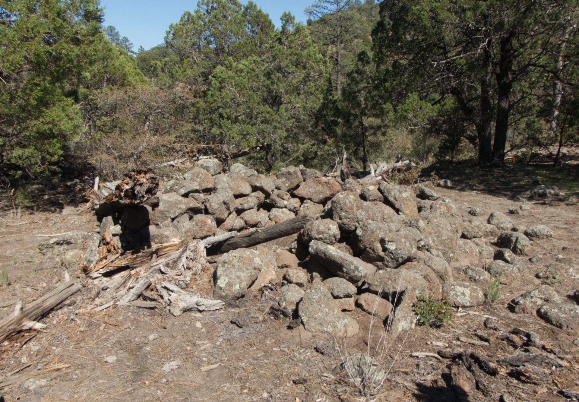
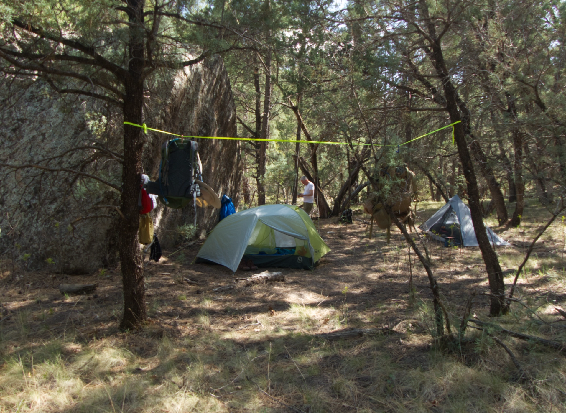
We camped that night about 1000' below the Wood Haul/Bear Canyon junction on a promontory that likely once served as a logging camp (mile 5.2). Nearby was the foundation of a small building, a large fire ring, several rusty buckets and pots, and a large piece of metal that look like it might have been part of a wagon. Just past the campsite was a small stream with a decent flow — much better than where we pumped the day before. So we wouldn't have needed to carry all that water after all!
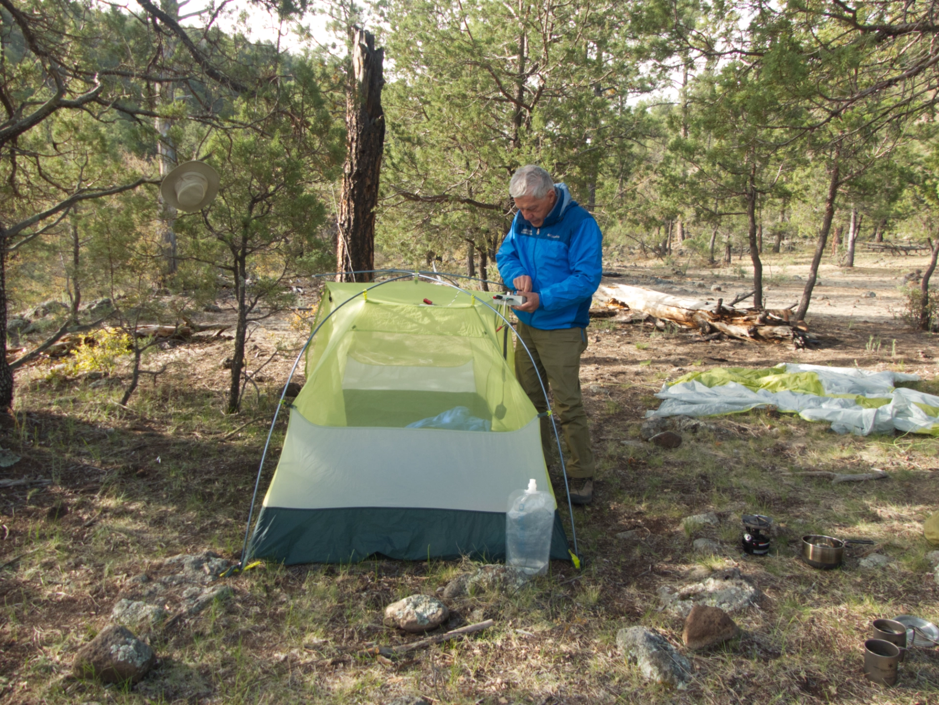
Setting up camp. It was a lovely spot, with a view down into the upper reaches of Bear Canyon.
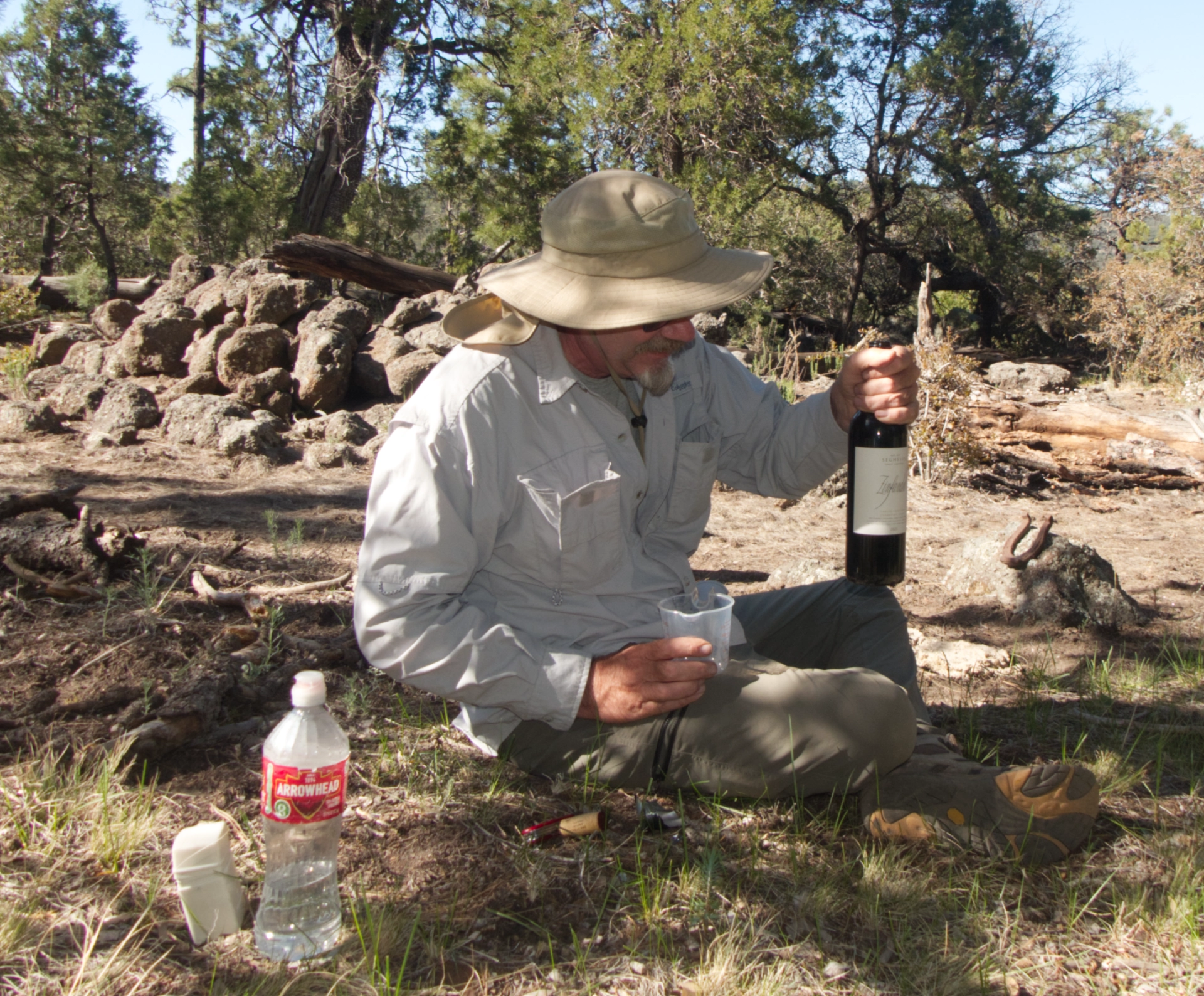
I remarked that all that was missing was a glass of wine. And then Ken amazed us by pulling a full bottle out of his pack! Ken, you are a gentleman and a scholar!
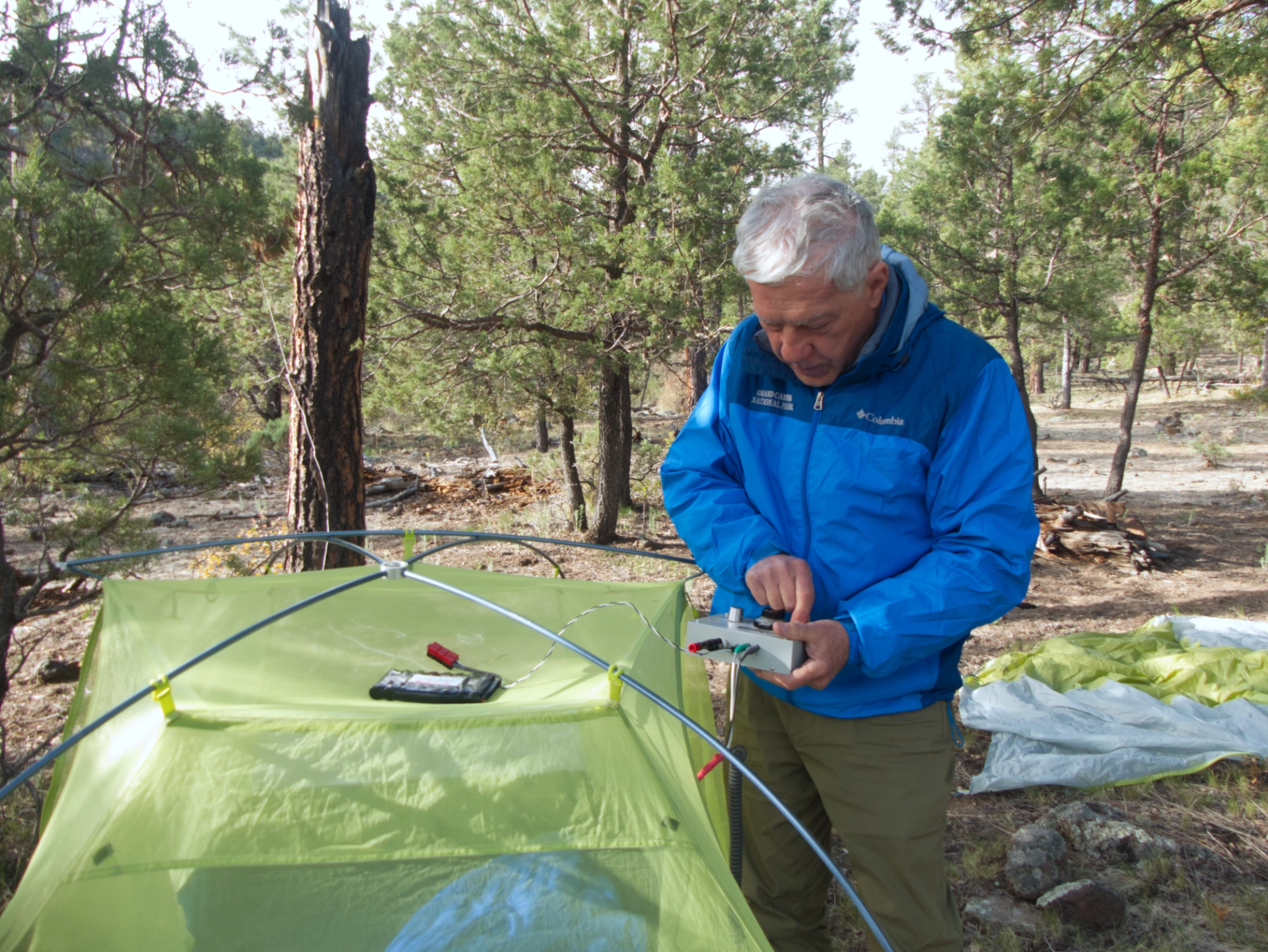
For Dennis, half the fun of backpacking is being able to get on the air using a tiny low-power radio that he built from a kit several years ago.

The MKARS-80 weighs less than a pound (about four pounds total including the microphone and antenna, and battery) and has a range of over 200 miles at night.
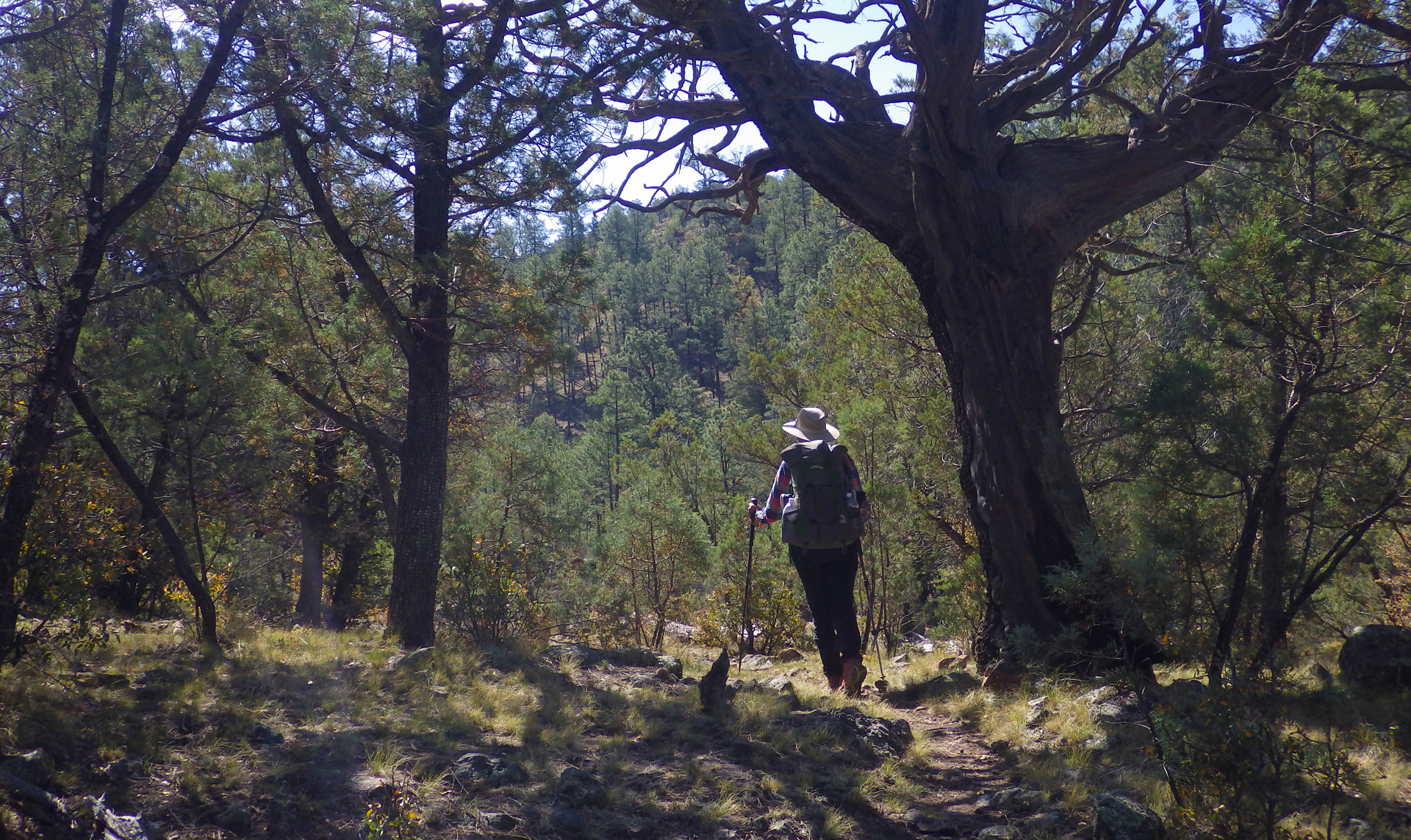
After filling up with water, we broke camp and continued up the trail. For the next mile, the trail undulates over a series of ridges and small side canyons.
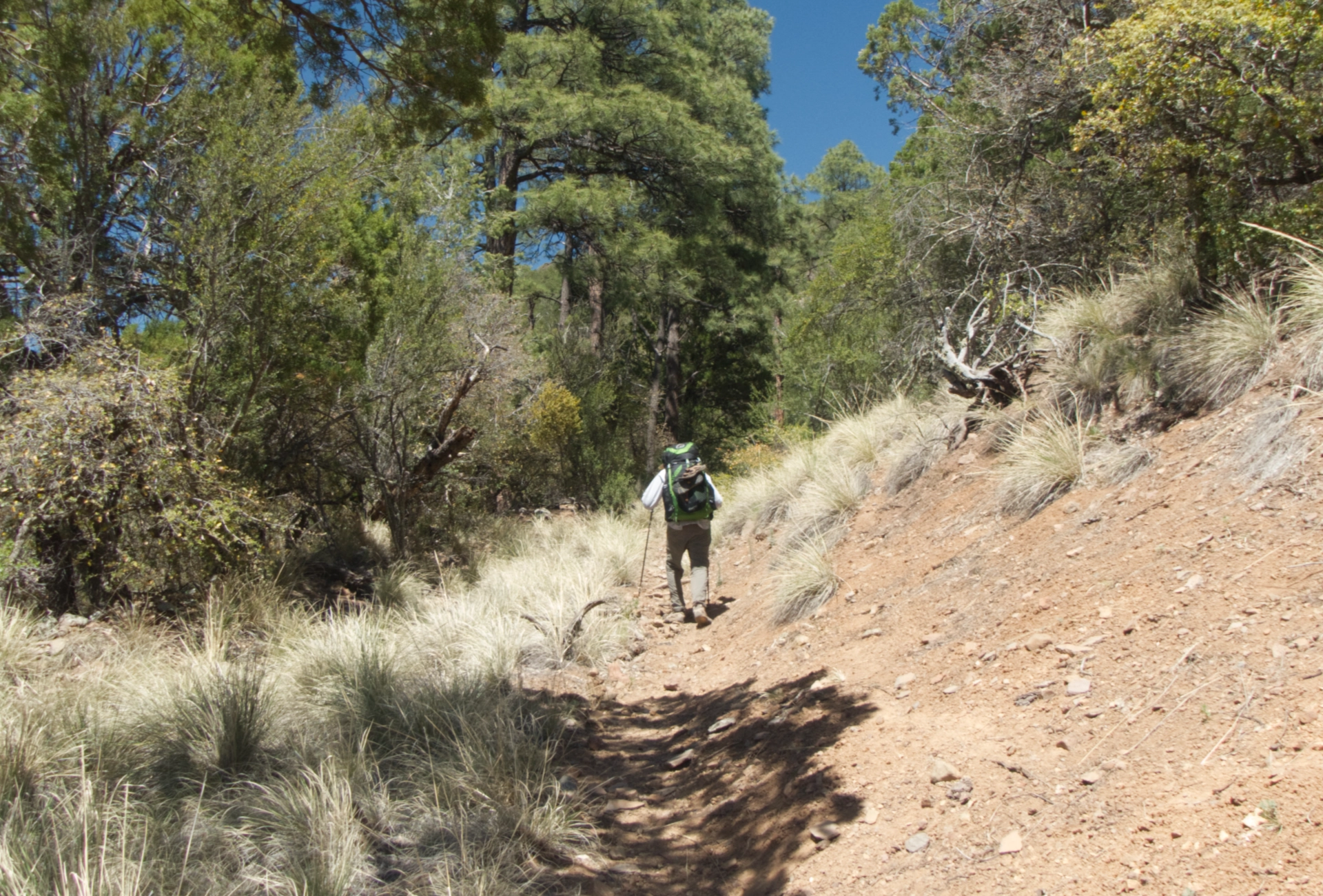
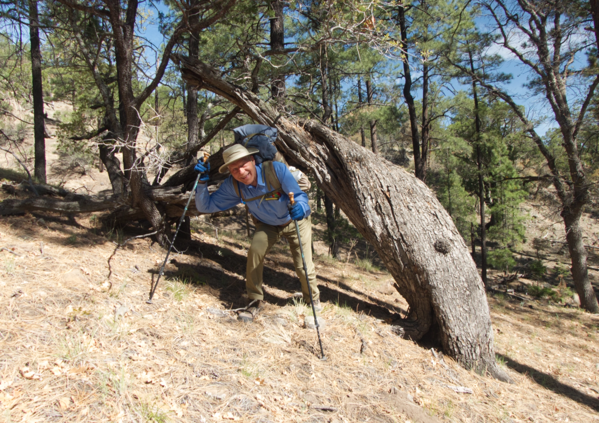
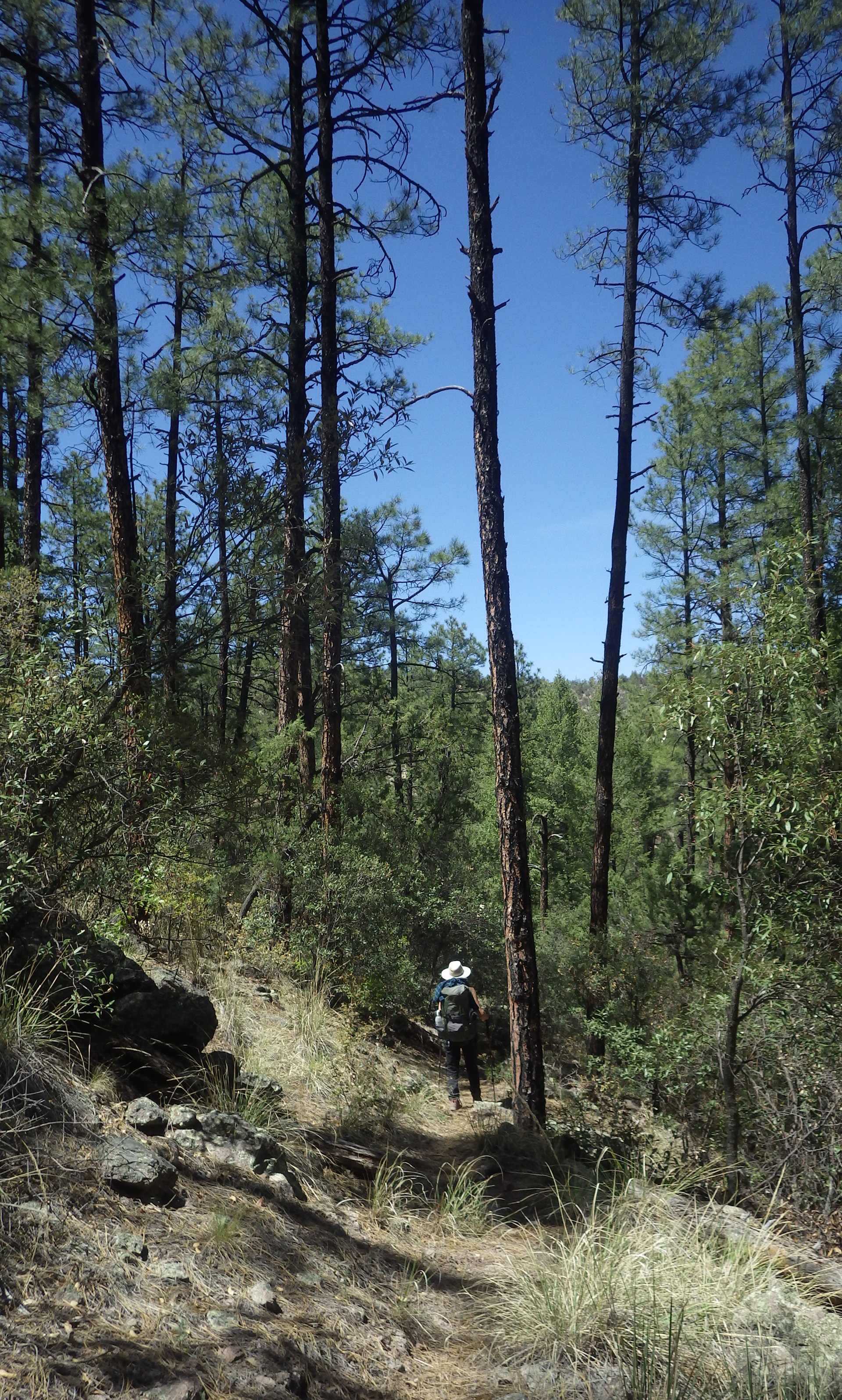
Then the trail begins a long descent into Bear Canyon. This is my favorite kind of hiking — on a carpet of pine needles in a lush Ponderosas pine forest!
At the junction with Deadman Canyon, there was another stream with a good flow and several sizable pools (mile 6.3).

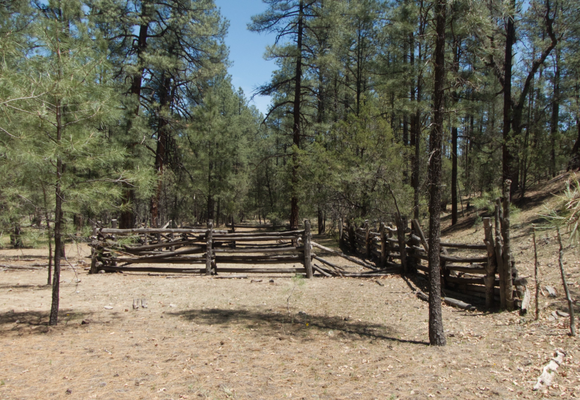
Nearby was an old corral cleverly constructed using a nearby rock face as part of the enclosure.

From this point on, the trail meanders along Bear Canyon Creek, with no shortage of fine campsites with plenty of water nearby.
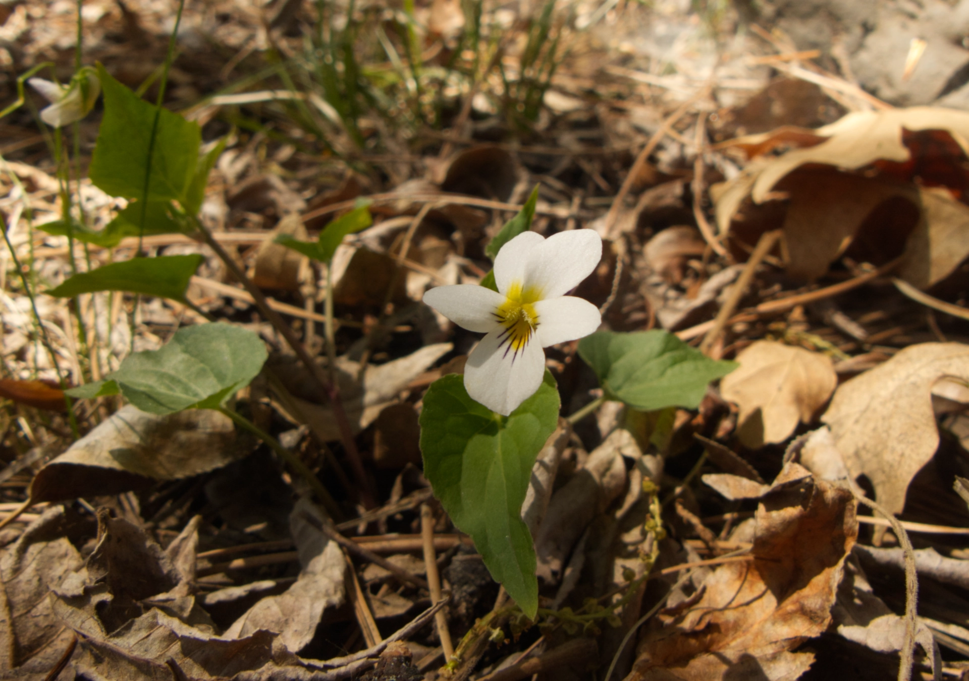
Canadian Violet.

New Mexico Groundsel.
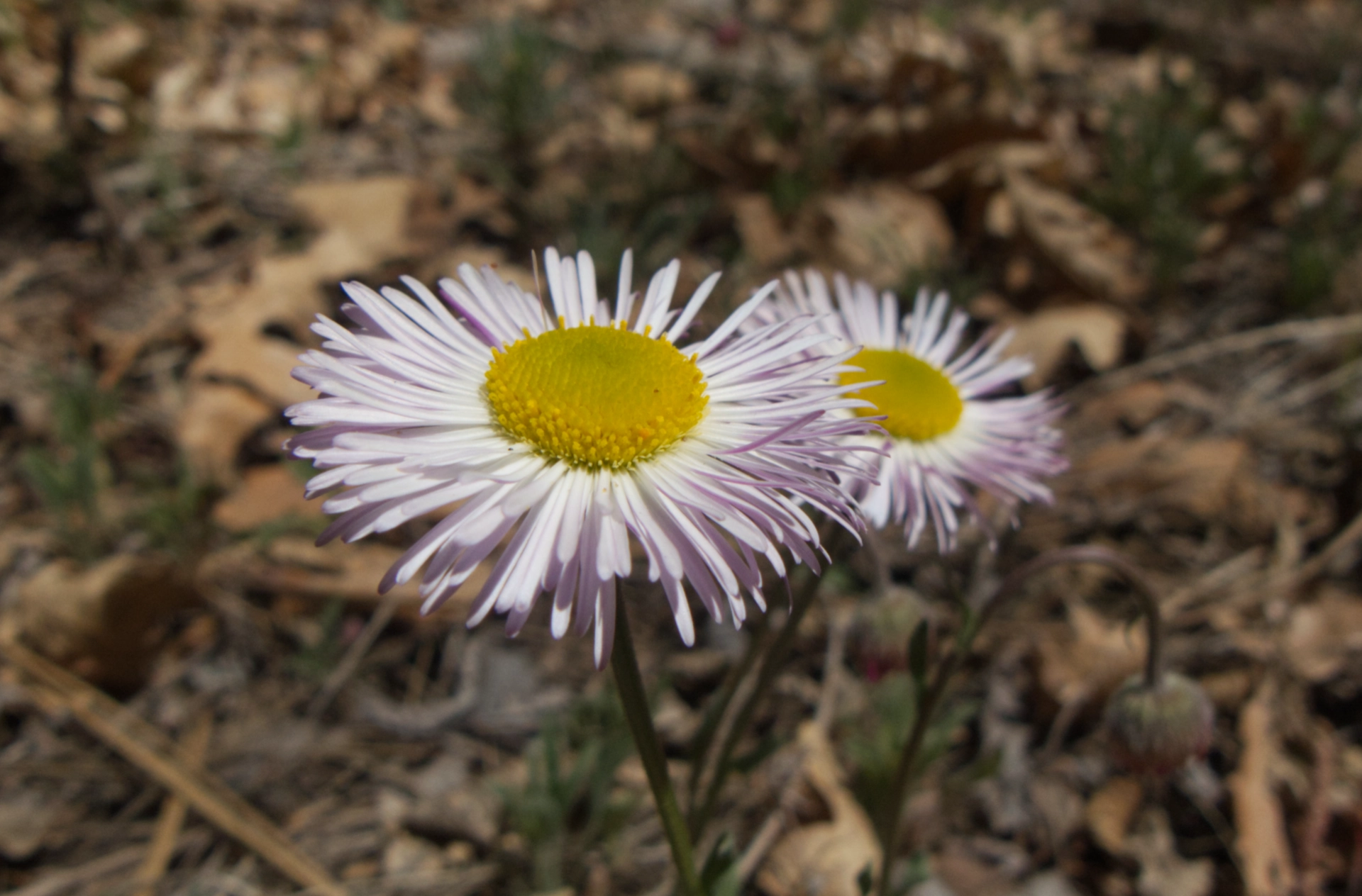
Pink Fleabane.
At the junction with Spring Canyon, there was another fine old corral and a large campsite (mile 8.3).
Here the trail turns away from Bear Canyon and climbs up an unnamed side canyon with a lovely stream and lots of wildflowers.
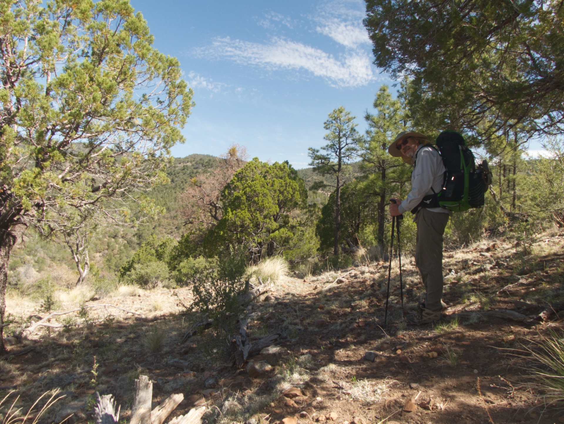
After leaving the stream, the trail winds around the east side of a ridge, through a heavily grazed area that was dry as bone, with very little forest cover. It was a steep and hot 300-foot climb to a saddle overlooking Allie Canyon.

It was a relief to reenter a thick forest on the north side of the ridge.
The trail drops very steeply, about 200' in half a mile, to the junction with Allie Canyon (mile 9.0).
Finally arriving at Allie Canyon (mile 9.3). The stream is intermittent at this point, but begins flowing freely once it is augmented by a very active spring in Hightower Canyon.
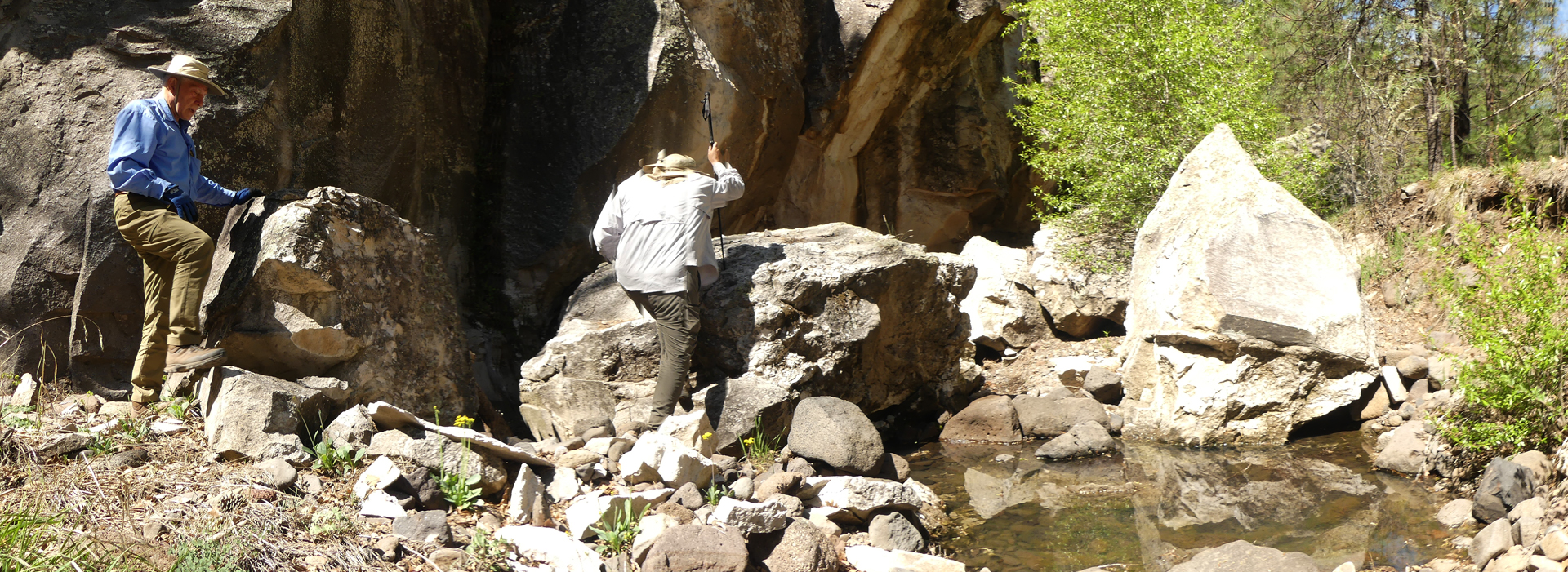
We worked our way downstream until we found a great campsite behind a house-sized boulder.
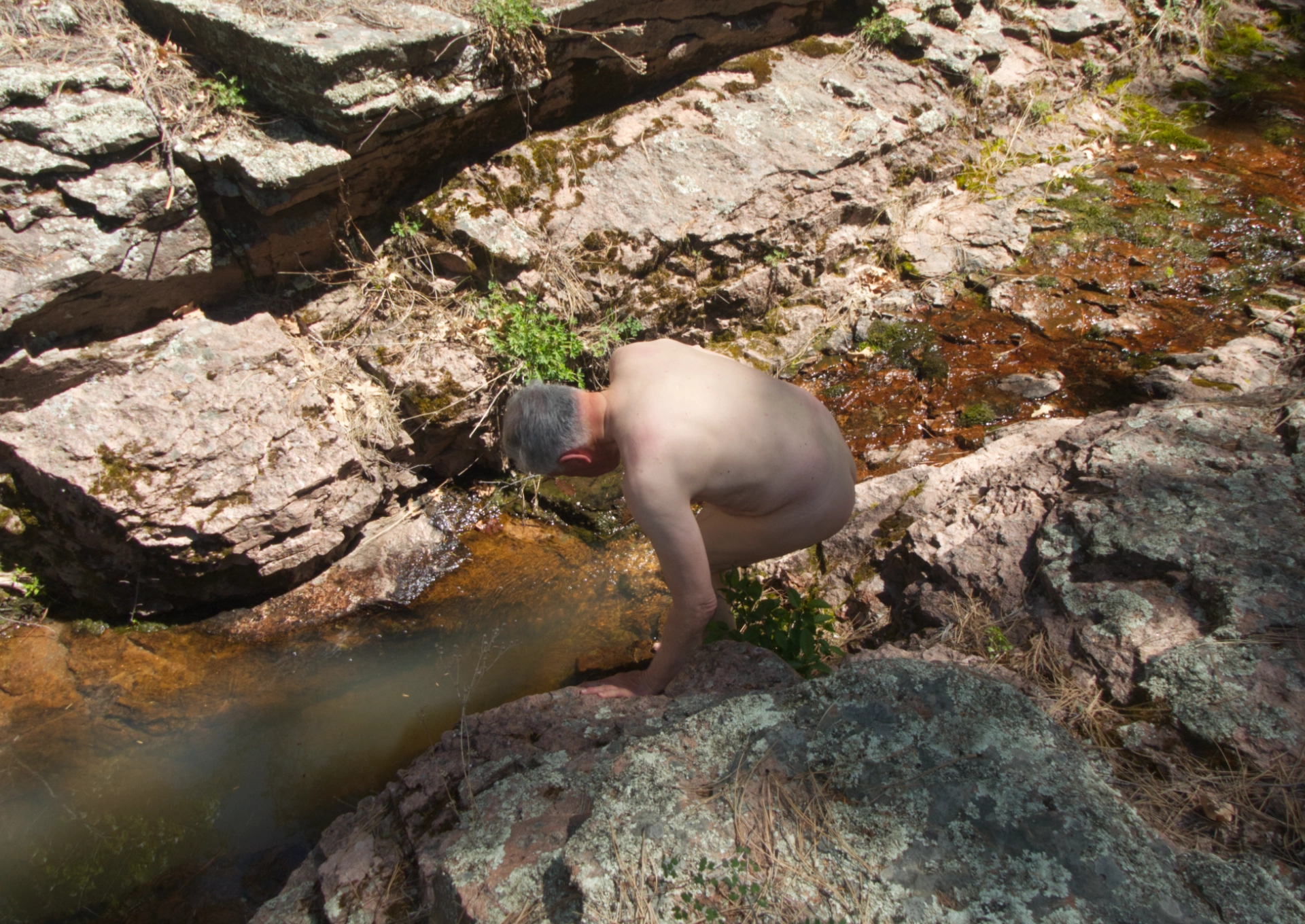
Nearby the stream was blowing nicely into a deep but narrow rock pool, where we immediately stripped down and enjoyed a most refreshing dip.
It was an easy hike out on Saturday morning.
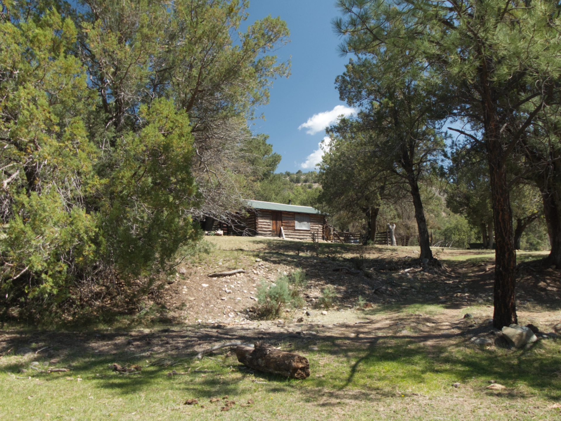
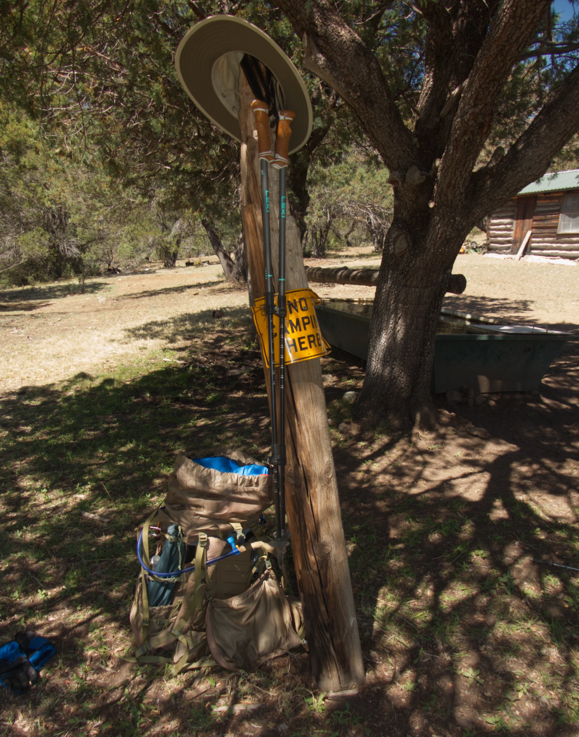
Passing by the historic Crumbley Cabin (mile 12.5).

We rewarded ourselves with a fabulous lunch at the Log Cabin Restaurant. We told them their pizza is so good, we walked 15 miles to get some!
This trip was challenging for its steep and rocky slopes and the uncertainty of the water sources. But I loved finally getting a close-up view the high country in the Piños Altos Range, and imagining crews struggling over that rugged road with loads of lumber for Fort Bayard. The east side of the range is well-forested and blessed with lovely streams — especially Bear Canyon and Allie Canyon. I'm also delighted to know that with a combined age of 207, Ken and Dennis and I are still able to backpack!
