McKnight Canyon
July 24, 2025
As we scramble to come to terms with the loss of so many trails within the +47,000-acre Trout Fire perimeter, our attention turns to more far-flung destinations. Except for the Emory Pass area, we have mostly avoided the Black Range since the catastrophic Silver Fire of 2013, which scorched more than 138,000 acres. When we learned that Gila Backcountry Horsemen had recently maintained the McKnight Canyon trail, we decided it was time to revisit the Black Range.
We approached with some trepidation, since it's mid-monsoon, and there has been extensive flooding in the Mimbres in the wake of the Trout Fire. But other than a very messy crossing of the Mimbres River, the road was in decent shape (although I would still recommend a high clearance 4WD vehicle). And once we ascended Kelly Mesa, the views were stupendous!

Starting down. This trail is lightly used, but very well cairned. The descent to the East Fork Mimbres River is hellaciously steep, but mercifully short.

A toasted trail sign testifies to the impact of the Silver Fire. Otherwise, scattered charred timbers were the only reminders. The canyon floor was generally clear of deadfall, and the creek was running clear. Remarkable, considering the extent of fire damage just the other side of NM 35.
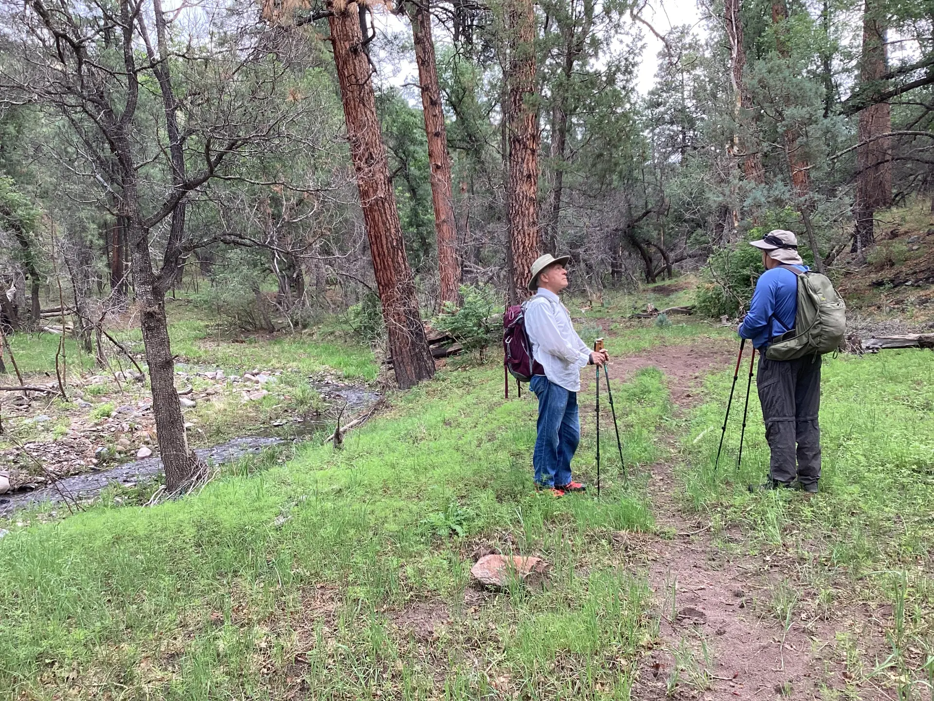
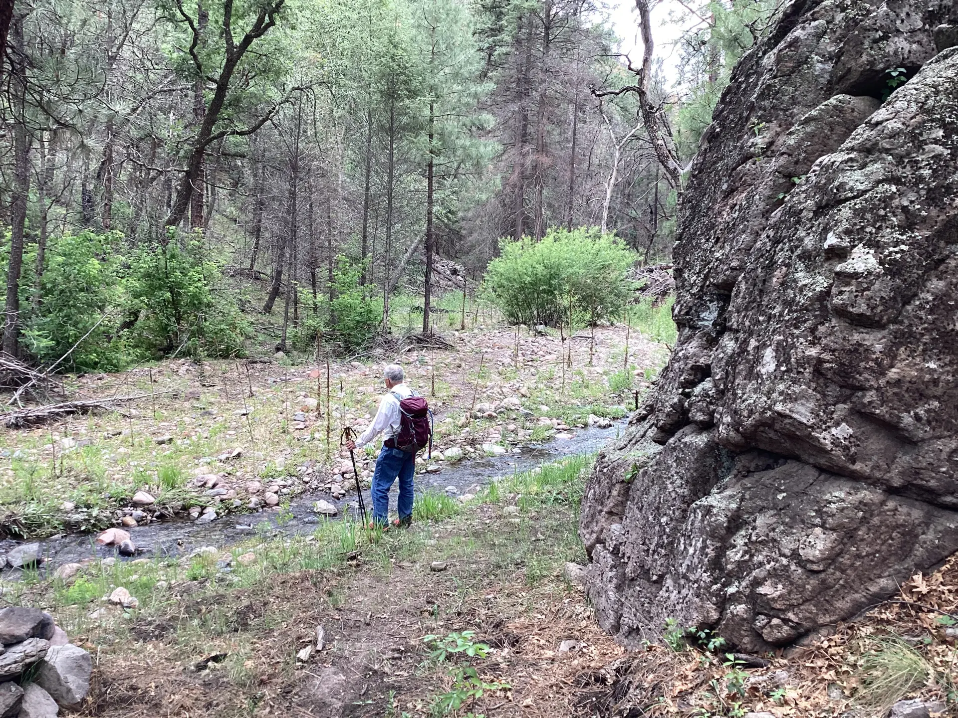
Dennis and Dave pause for a mid-trail chat. The canyon has greened up beautifully — a feast for the senses after this year's prolonged, extreme drought!
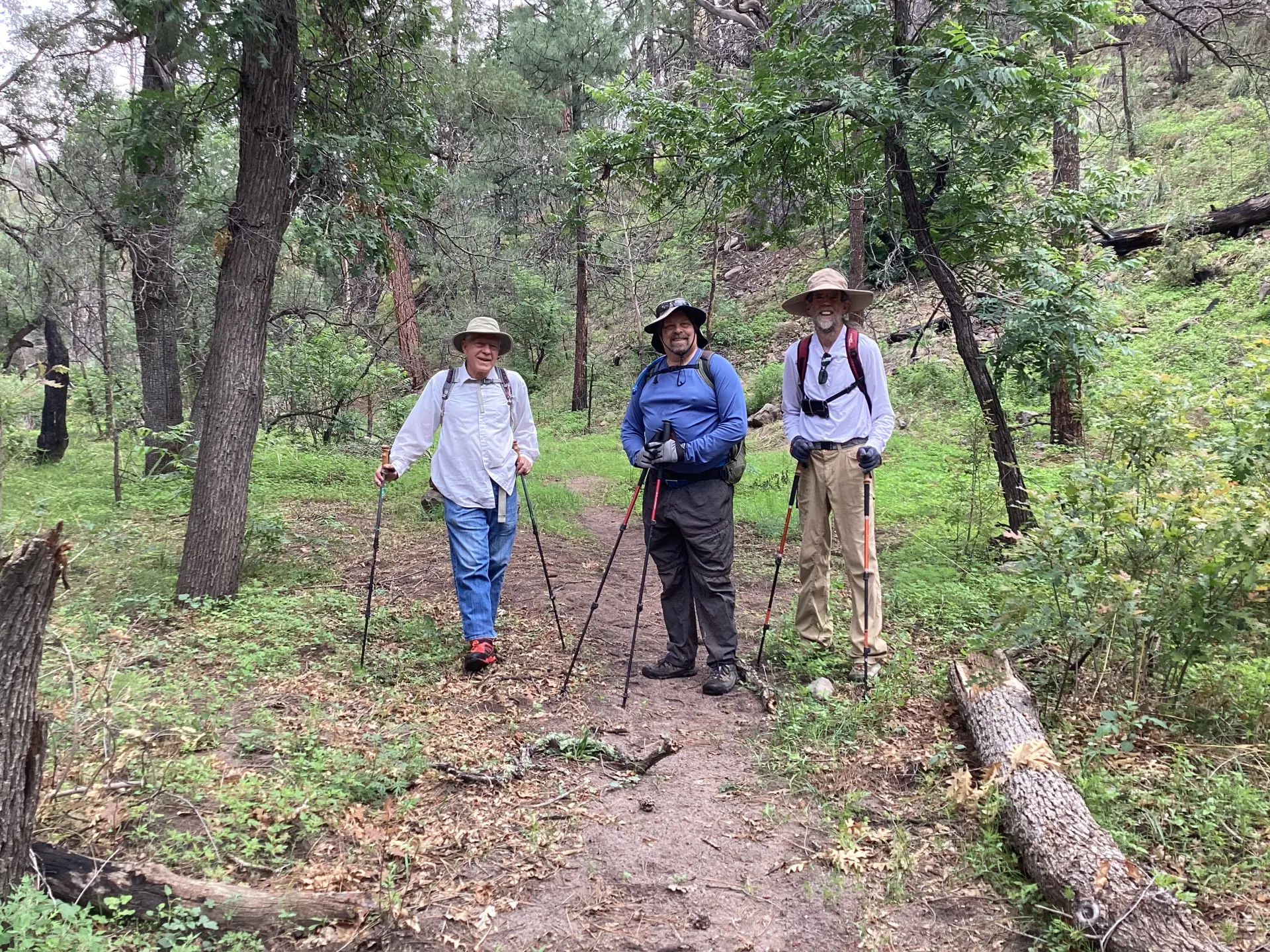
Dennis, Dave and Miguel. Happy hikers!

View from above of a section of the stream that snakes between steep rock walls.

As always, Mother Nature is busy undoing the hard work of the Gila Trails crew! A sizable snag at one of the stream crossings.
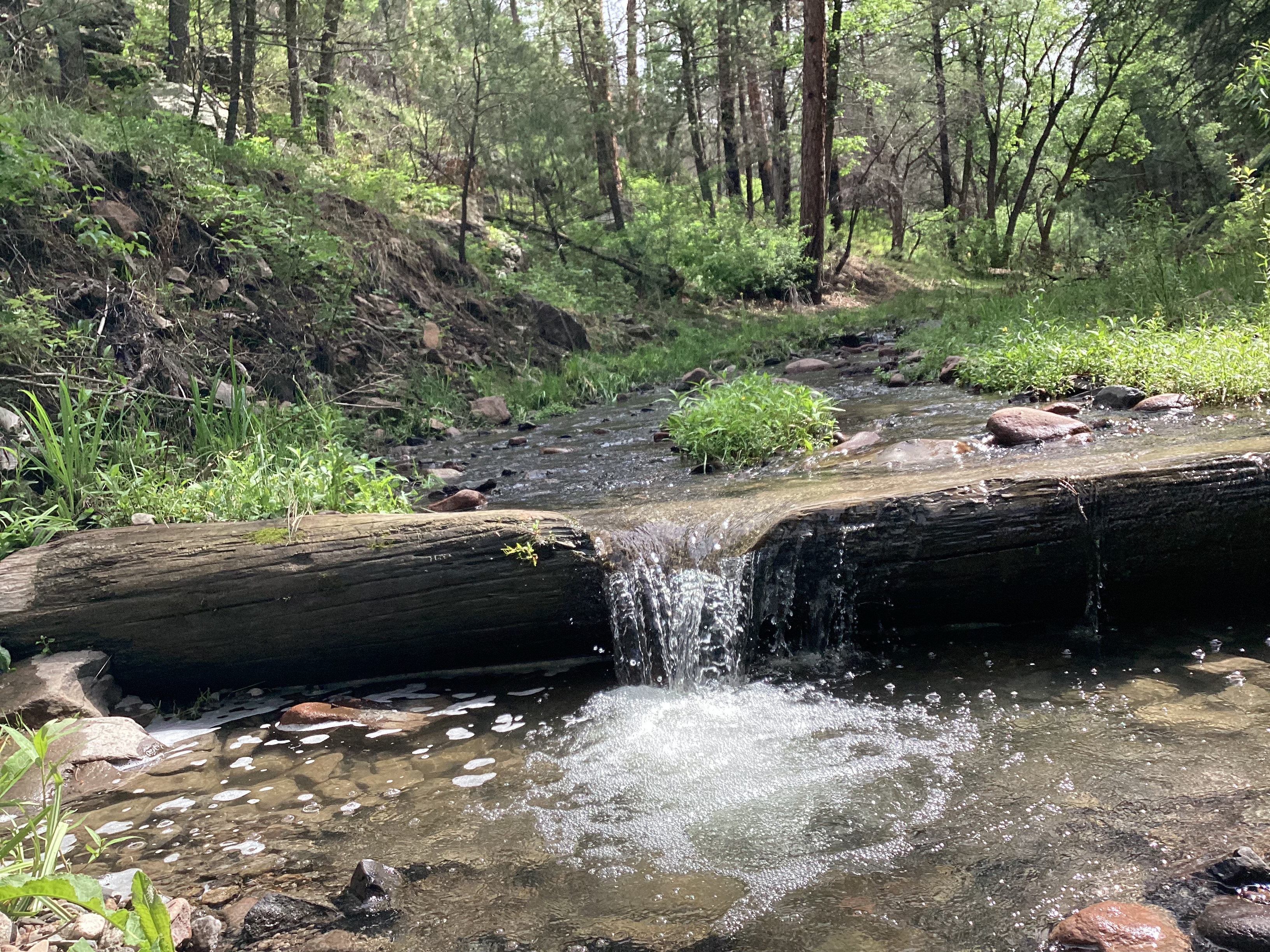
We saw several of these water bars built from giant logs notched to direct the flow of water.

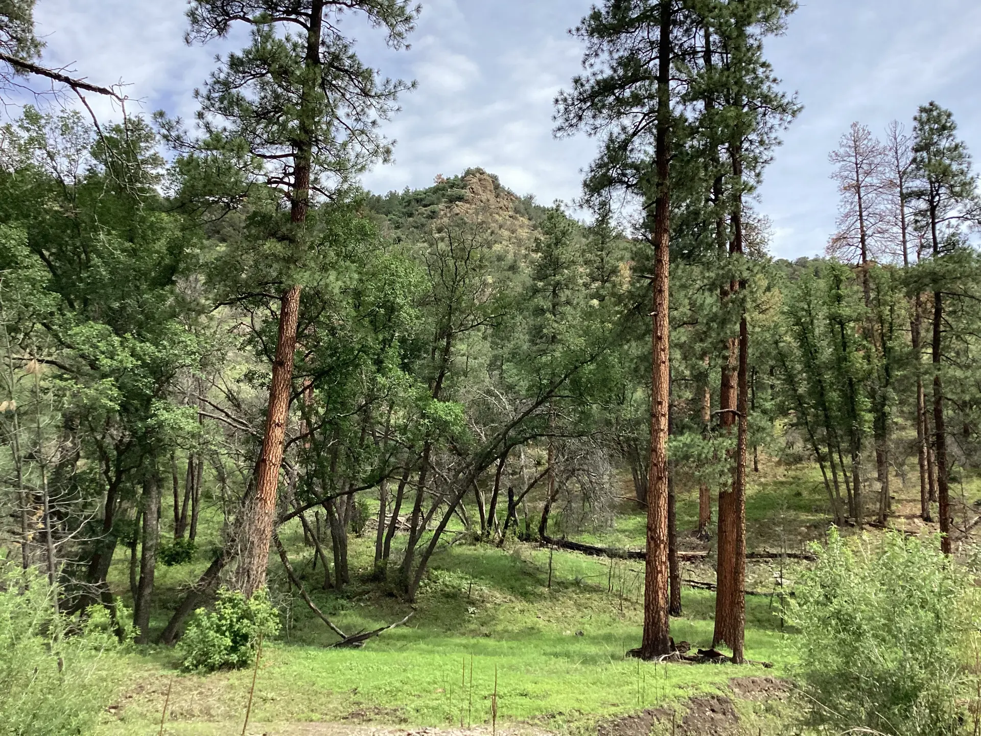
About the two-mile point, we passed through this park-like meadow. How lovely! I told my friends to bring me my tent and I would just spend the rest of my life here!
Striking rock formations tower above the canyon floor.
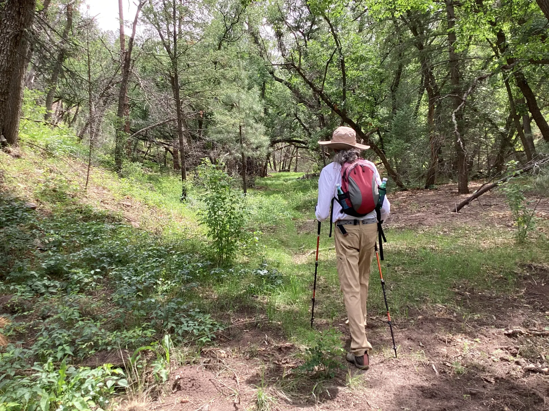
Miguel hoofing it through a section where trees form a canopy over the trail.

Taking a snack break on a comfy log at about 2.9 miles. The trail continued, but there were no obvious signs of recent trail maintenance past this point.
We've been starved for wildflowers this summer! But here all our seasonal favorites were on display. Unfortunately, I didn't have my good camera today, so these are just grab shots with the iPad. Among the photos that didn't turn out were lupine, metcalfe's woodsorrel, birdbill dayflower and wild bergamot.
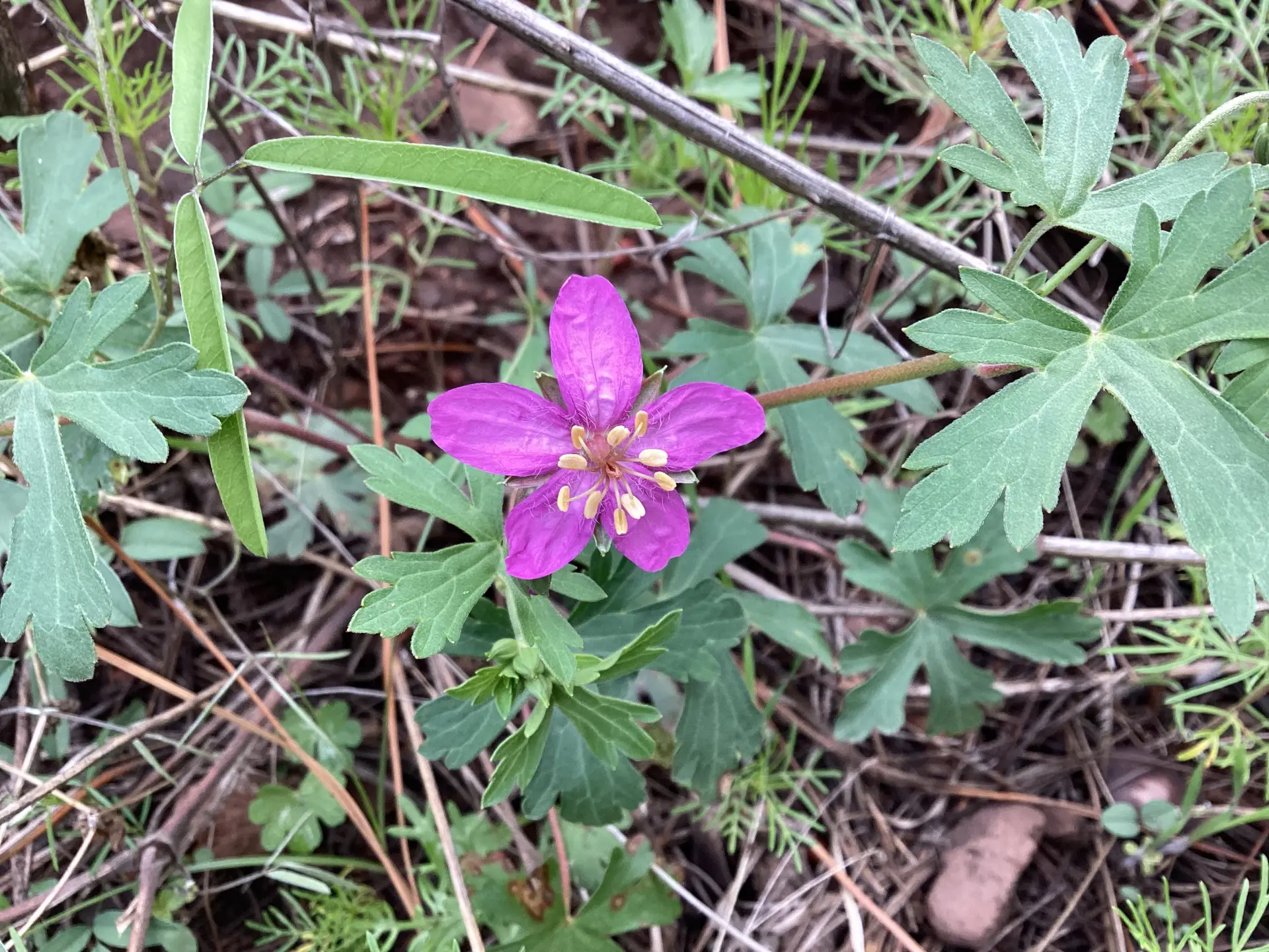
pinewoods geranium
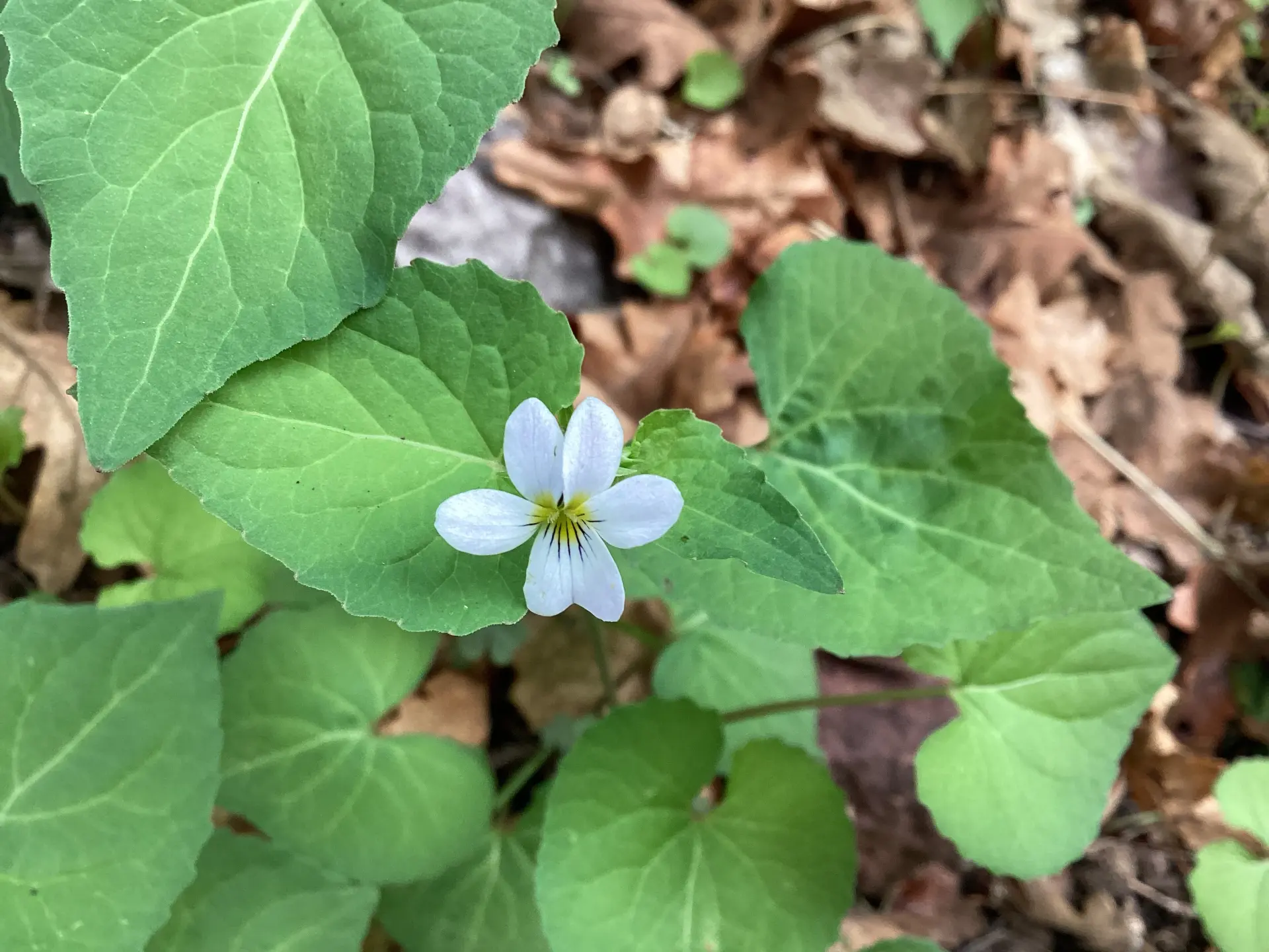
Canada violet
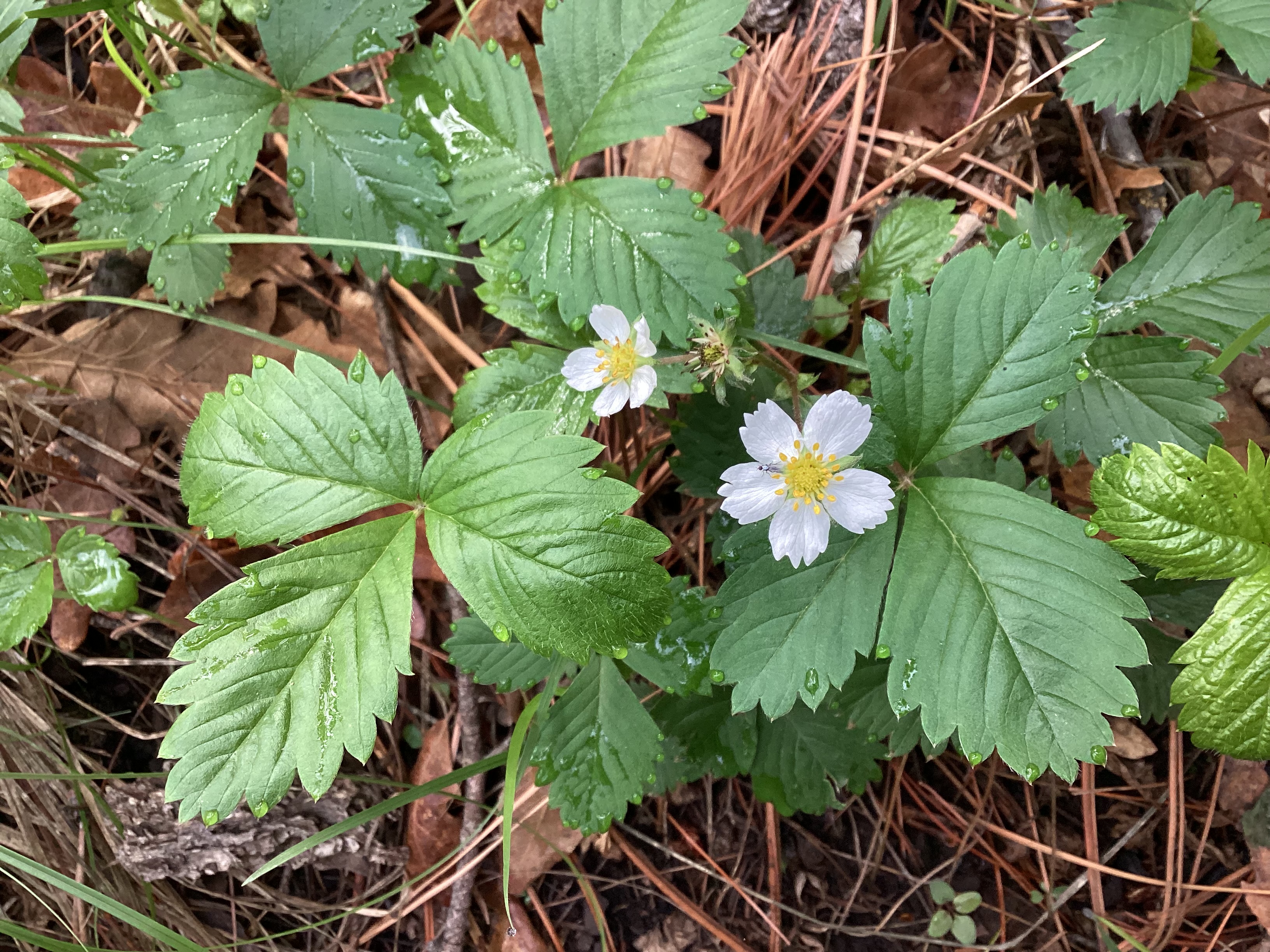
woodland strawberry
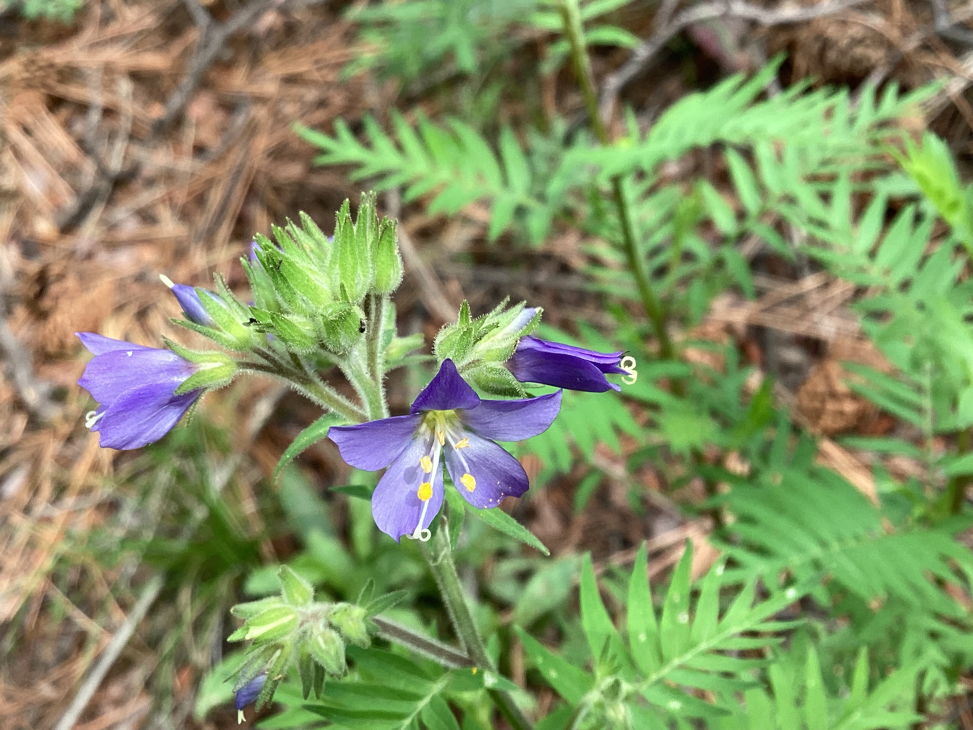
Jacob's ladder
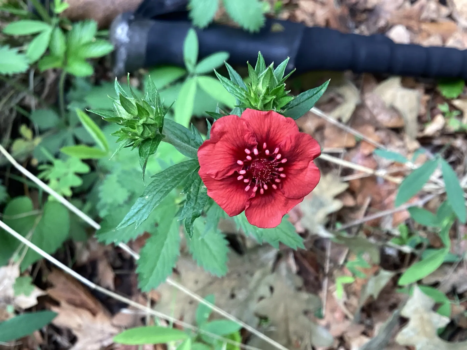
scarlet cinquefoil
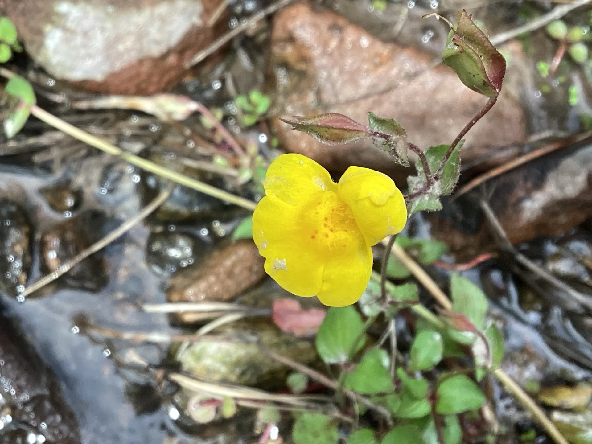
monkeyflower
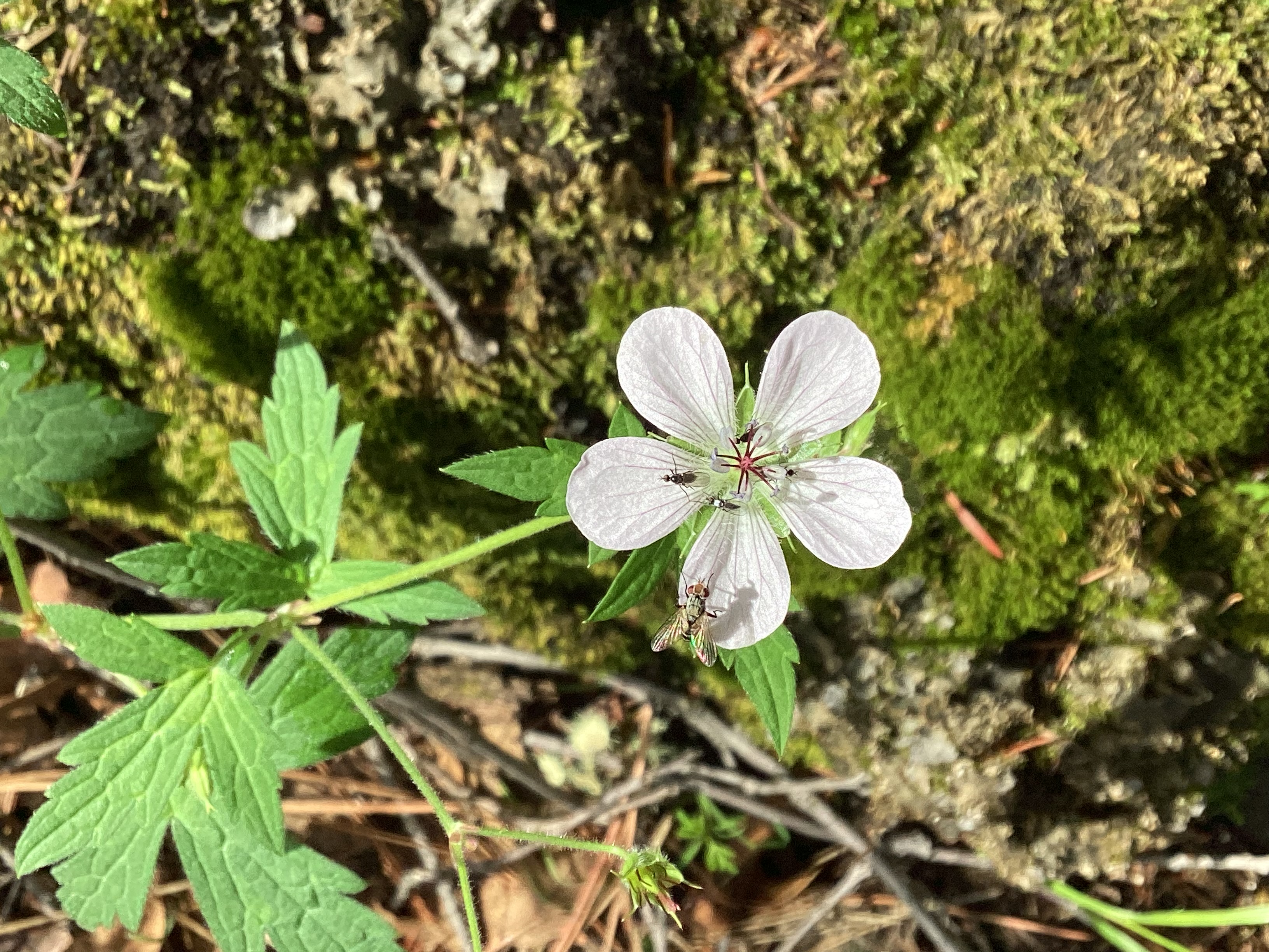
richardson's geranium
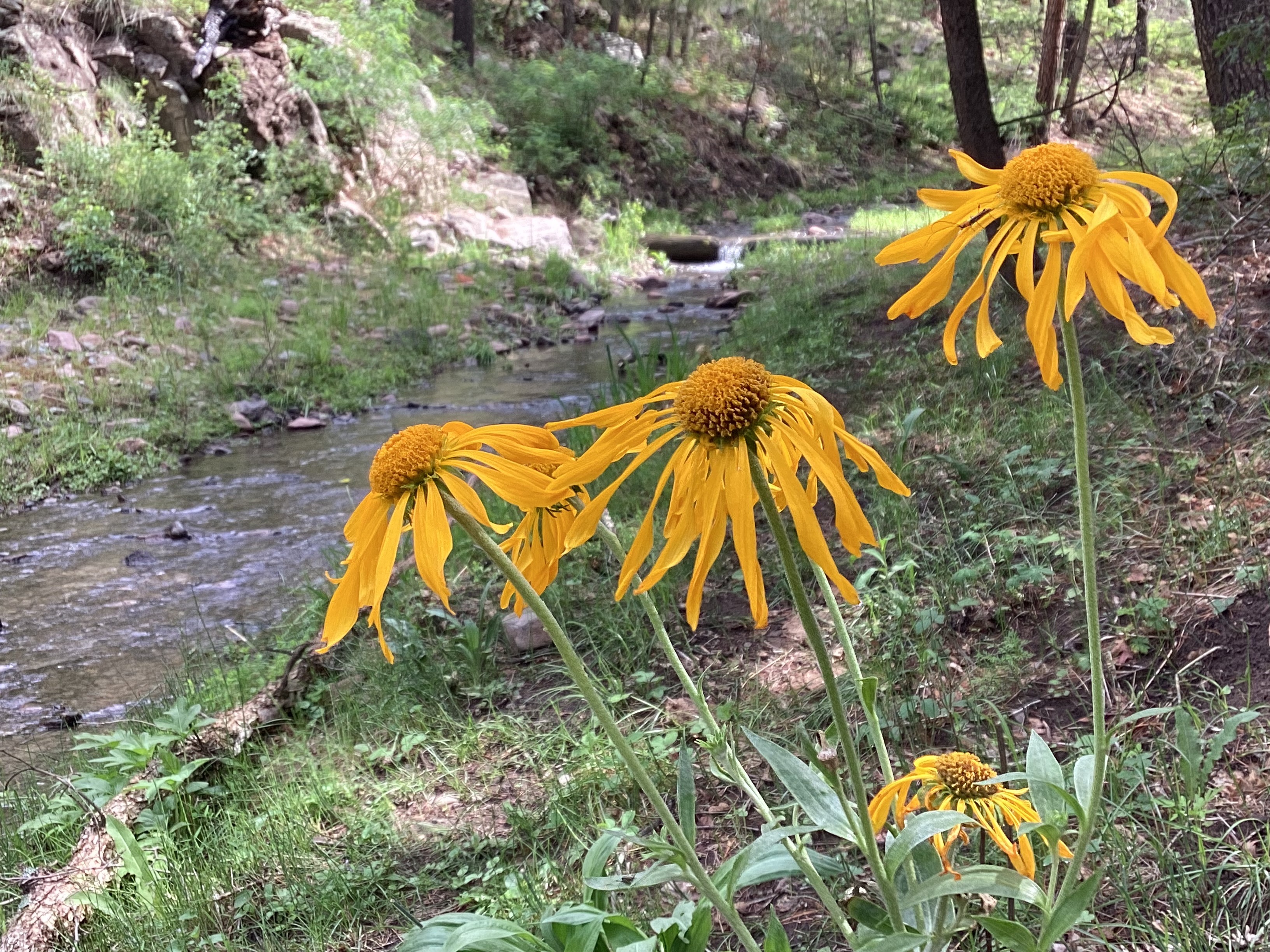
cutleaf coneflower
I was so delighted by the display of summer wildflowers that our progress slowed to crawl. We agreed that for the return hike, I'd limit myself to two photos! Here's number one, taken at one of the many stream crossings.
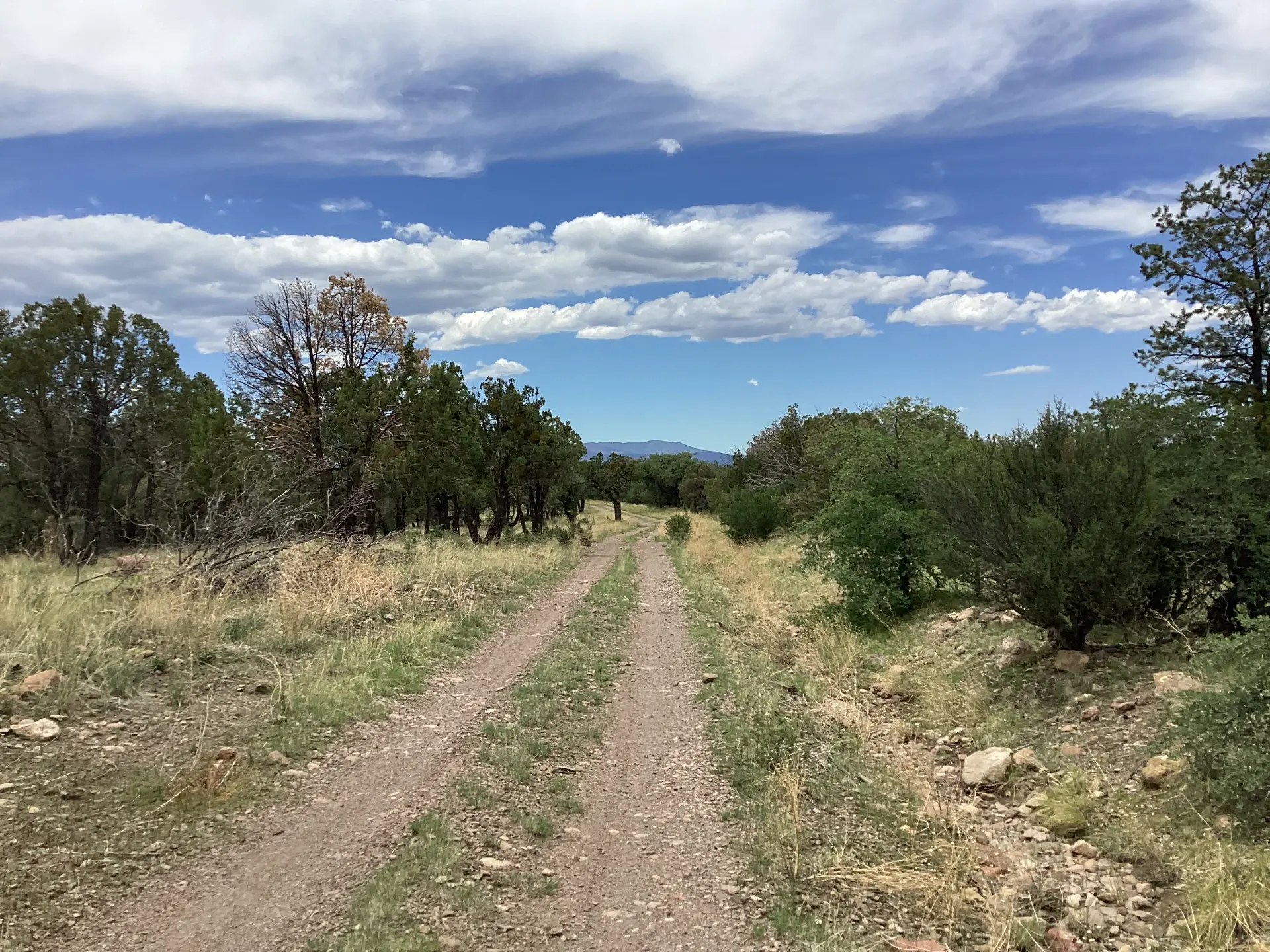
And last but not least, the view from Kelly Mesa on the drive home. If you didn't hike at all, the drive alone is worth the trip!
