Bear Mountain CDT
September, 2025
The search continues for more local hiking trails as alternatives to popular trails within the Trout Fire perimeter. I've noticed what appears to be a chunk of the CDT wrapping around the north side of Bear Mountain. A few years ago, I tried to access the potential trail on FR 172 off Bear Mountain Road, but there was no trace. While hiking a "lollipop" loop with the Gila Hikers from a CDT trailhead on Bear Mountain Road, we saw signs for the CDT continuing north along Walnut Creek Road. So on a non-busy day at the end of August, we decided to check out access to this CDT outlier.

First we tried approaching from FR 858 off Bear Mountain Road. This is a very rough (high clearance 4WD) track that ends in a clearing along Walnut Creek. Nearby is an actual working windmill. You don't see those very often anymore!
A short distance up the creek, we were astonished to find an actual CDT trail sign!
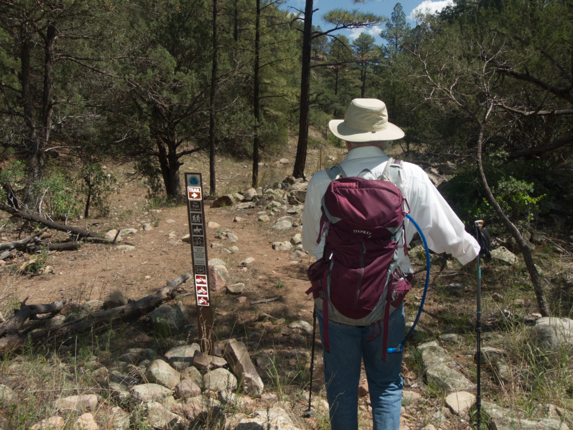
Deeming this approach too dicey for our hiking group, we returned a week later to try once again to locate the trailhead on LS Mesa, and this time we found it! The access is 10 miles out Bear Mountain Road. Turn right, go through the cattle guard, and park. Continue on foot about one-quarter mile on FR 40831 to intersect the CDT.

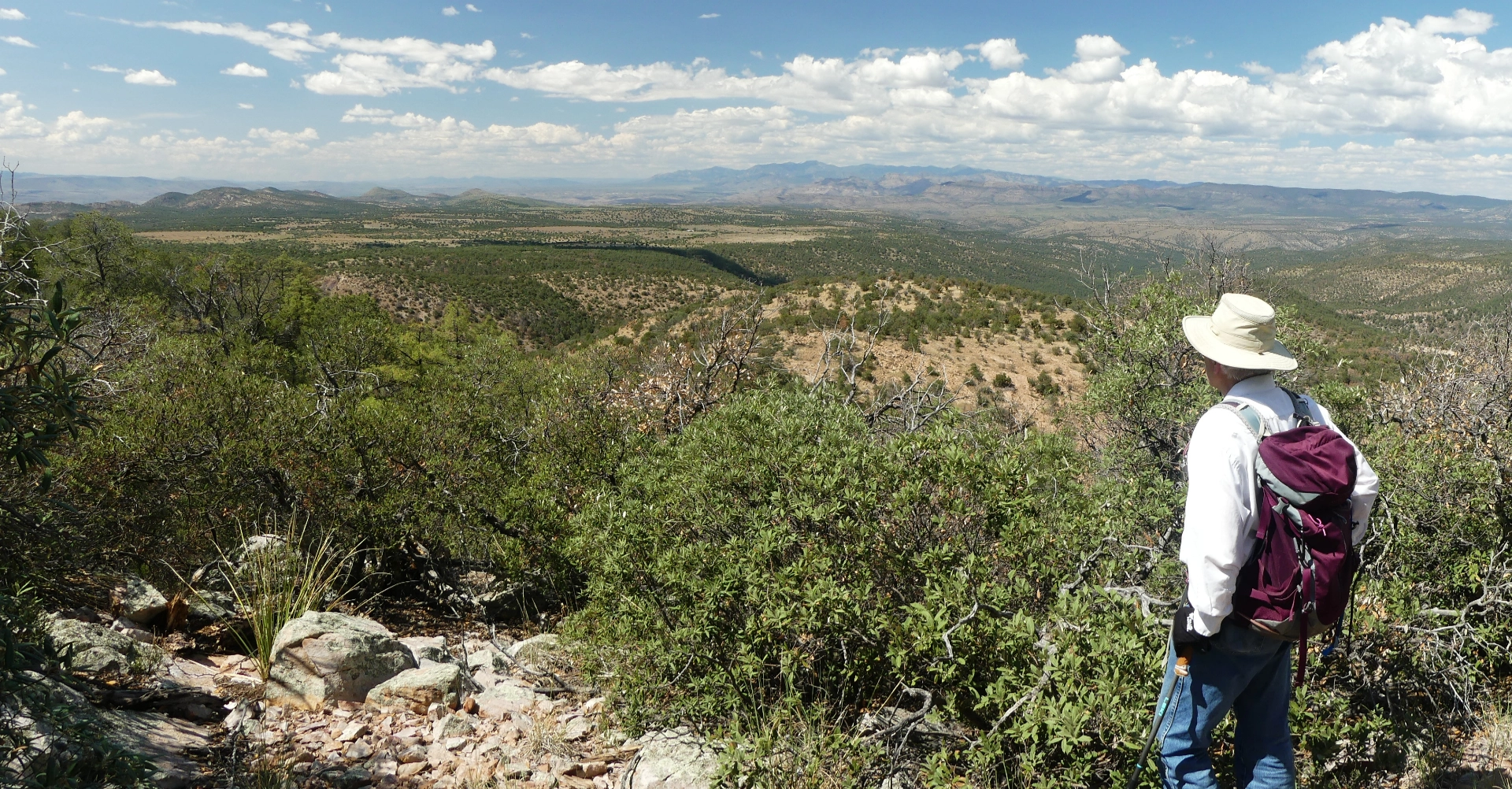
There are some wonderful views to the north, toward the Mogollon Mountains.
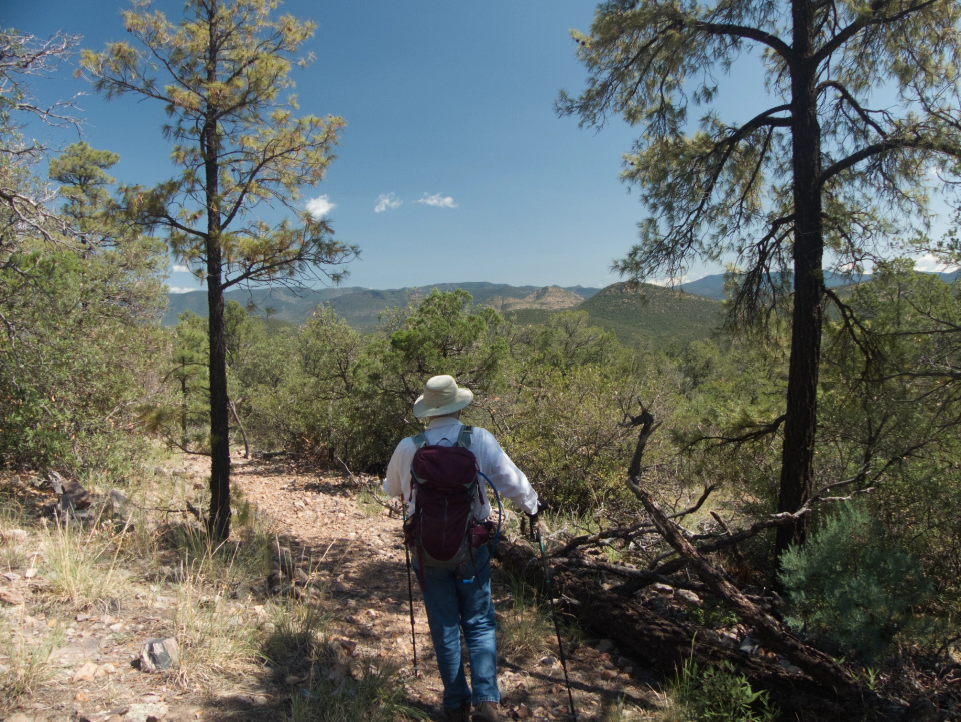
After topping out at roughly 6900', the trail drops 700' to Walnut Creek. Views open up to the east, includuing Stewart Peak and Preacher's Point.
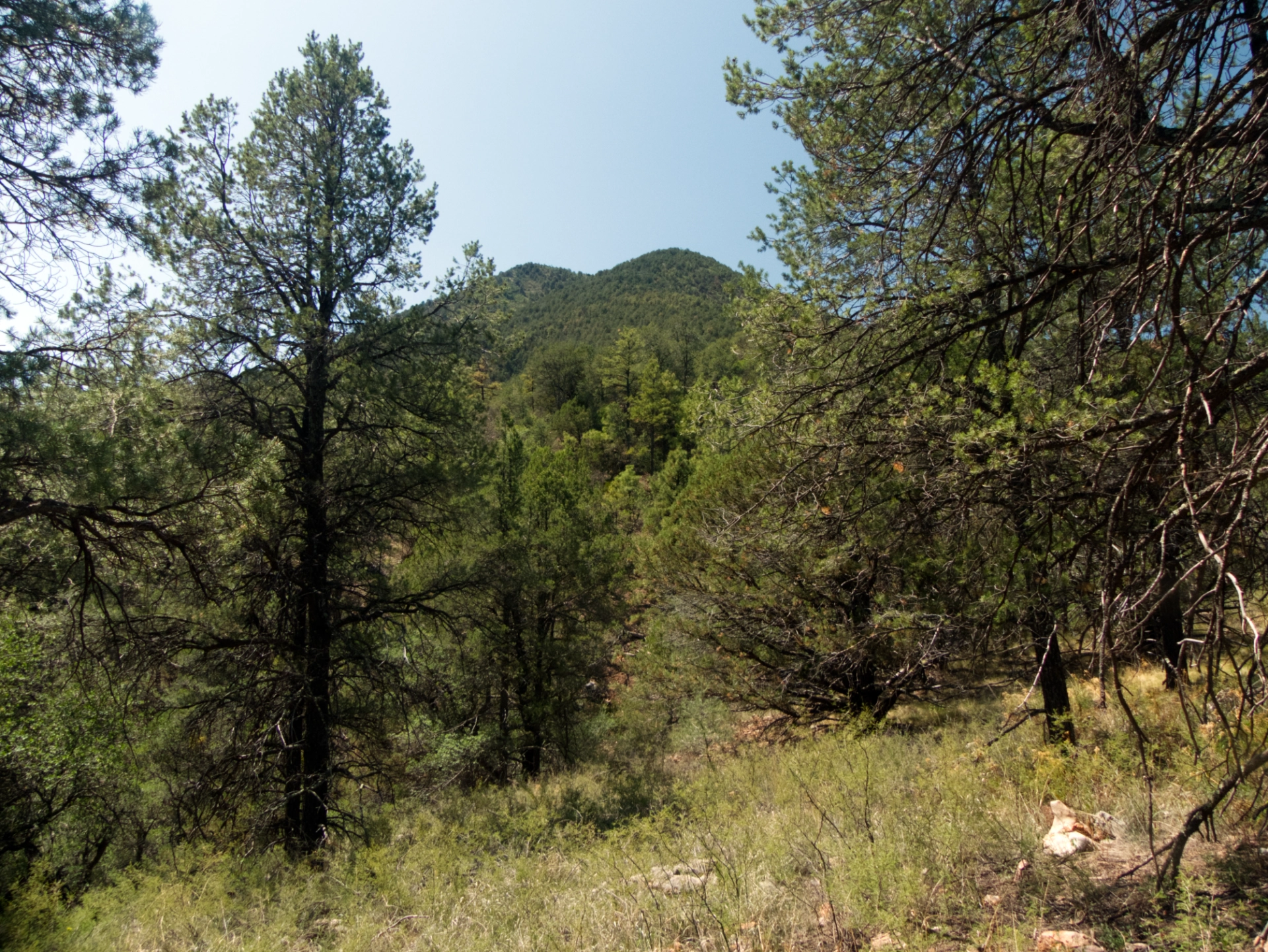
An unusual view of Bear Mountain, from the north.
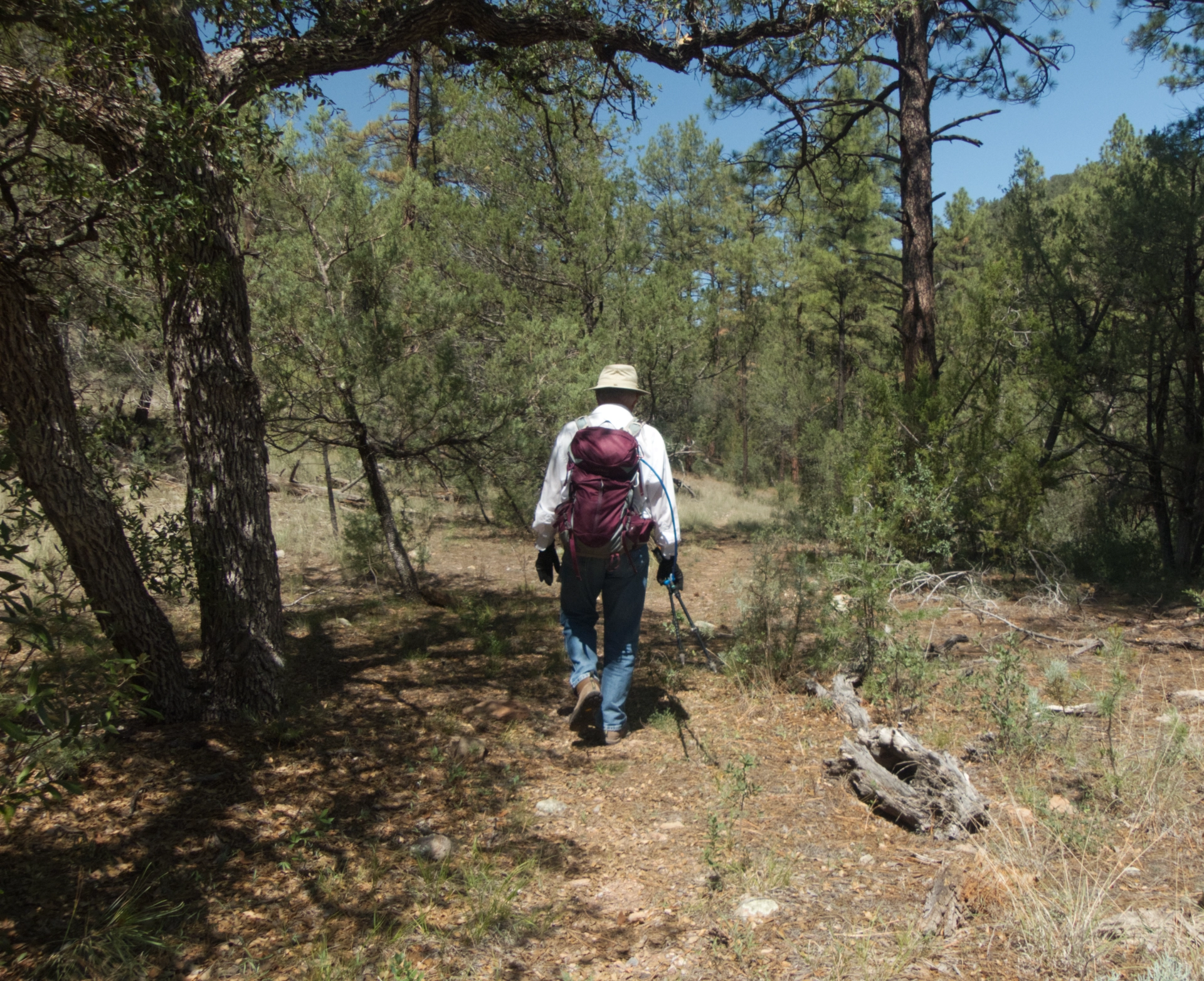
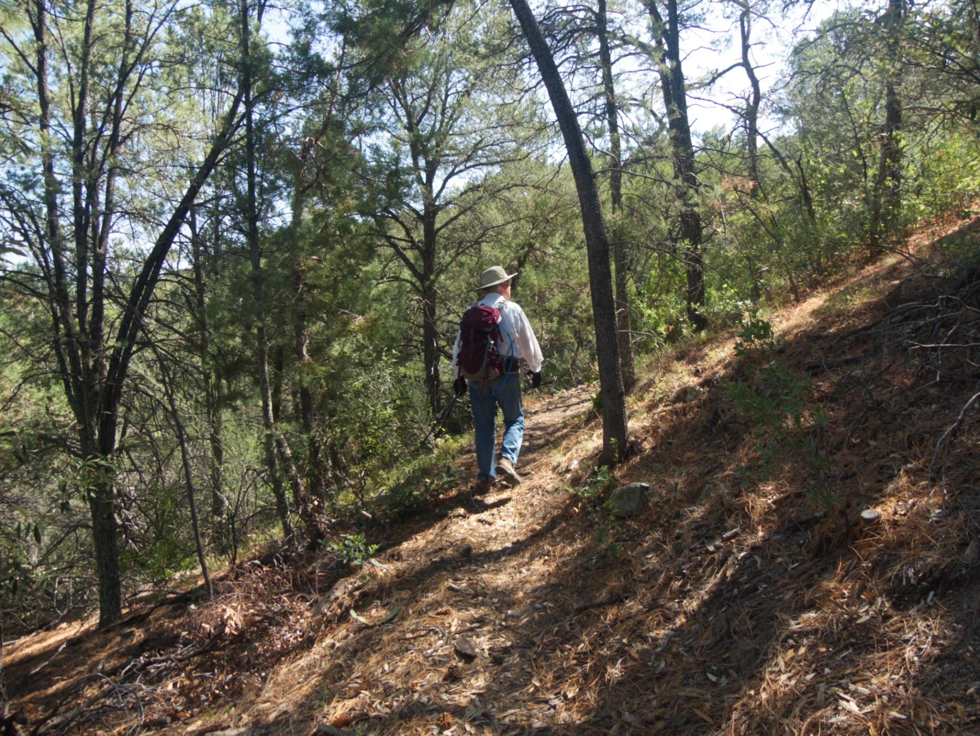
Near the creek, you reenter a lush and cool Ponderosa pine forest, reaching the creek at 3.55 miles.
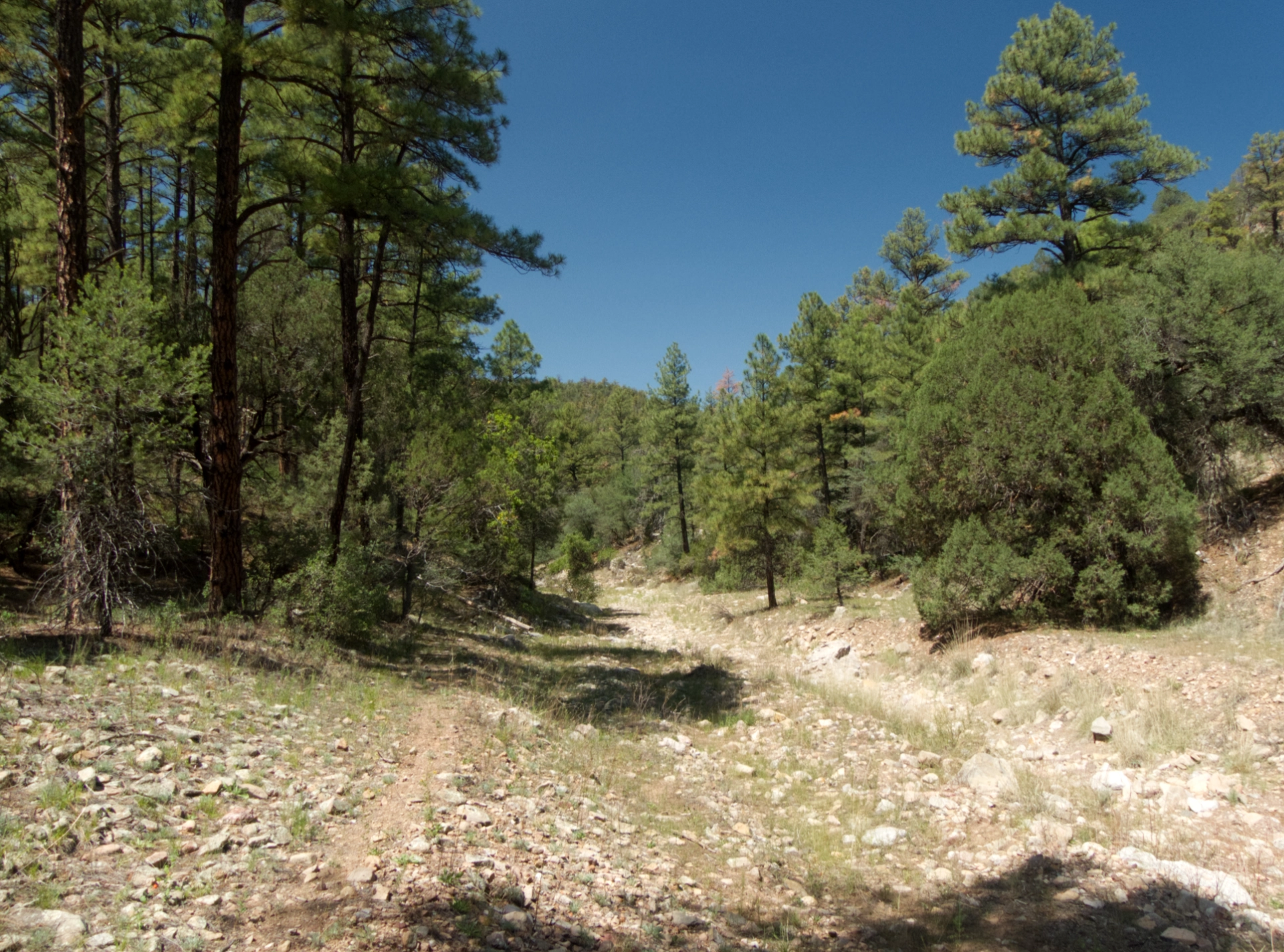
A well-worn path continues north along the creek and definitely warrants further exploration.
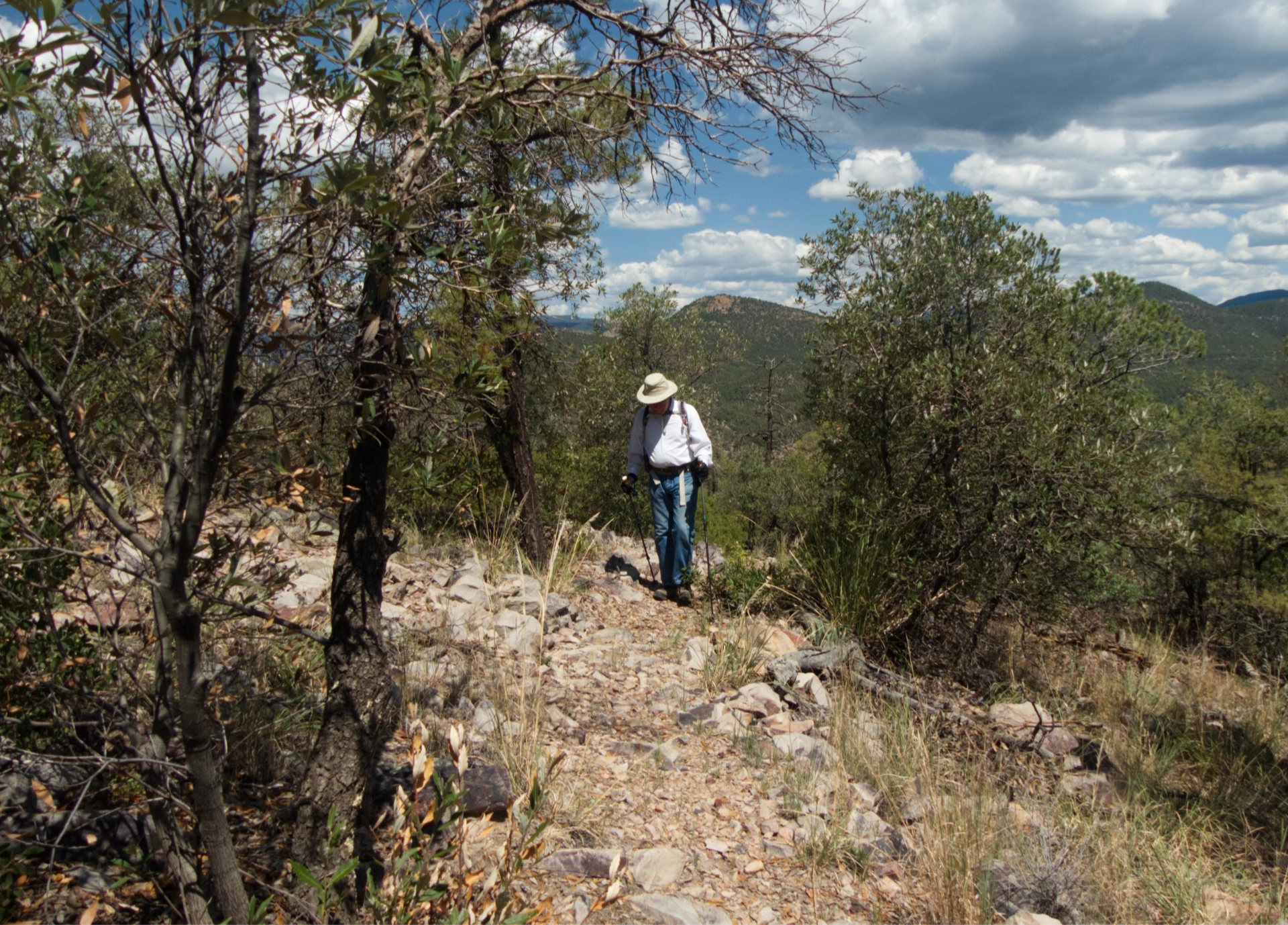
It was a tough climb out, in full sun at 85°. Because we are old but cagey, we slowed our pace to a crawl in the sun, picking up the pace and removing our hats in the shaded sections.
A short detour took us to an overlook at the very tip of the long ridge that extends north from the summit of Bear Mountain.
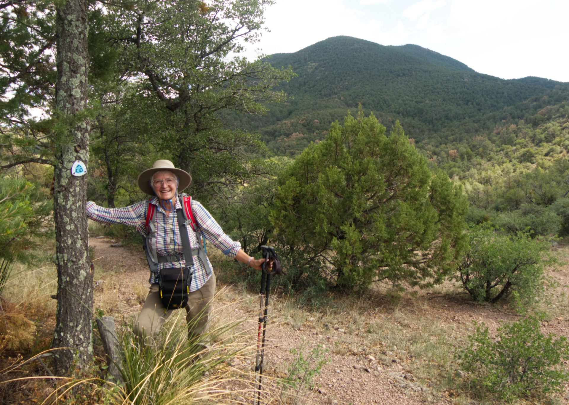
We made it! Grinning and slightly delirious hiker with Bear Mountain in the background.
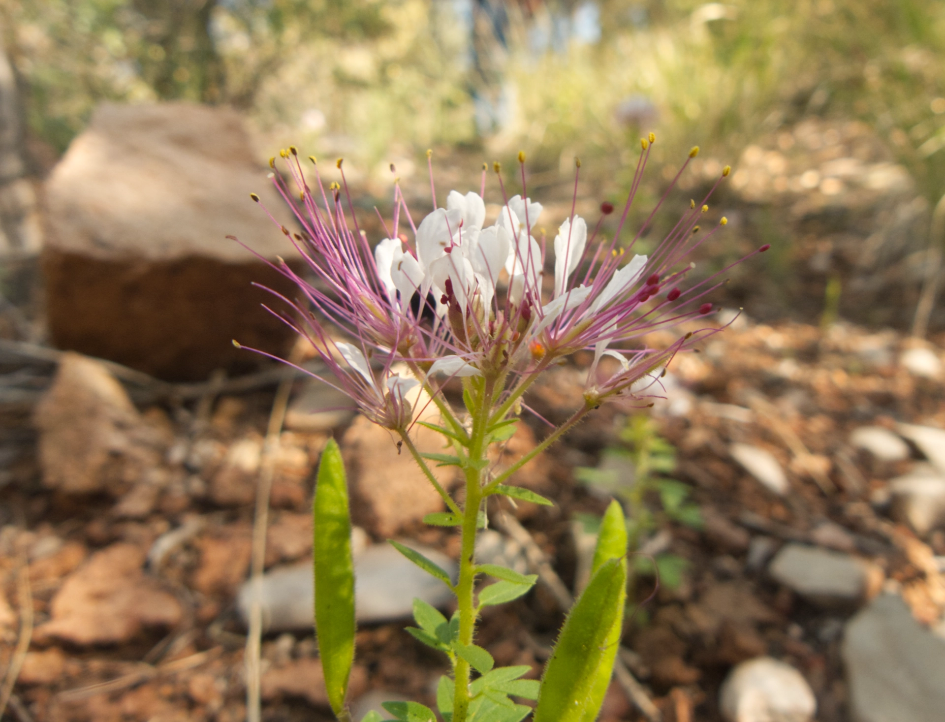
We saw very few summer flowers and no critters except for horned lizards and spiny lizards on this hike. We've had a couple of good rainstorms lately — not monsoon rains, but backwash from tropical storms — but the Gila is still terribly dry. According to the iNaturalist, this plant is a Redwhisker clammyweed and it's a member of the caper family!
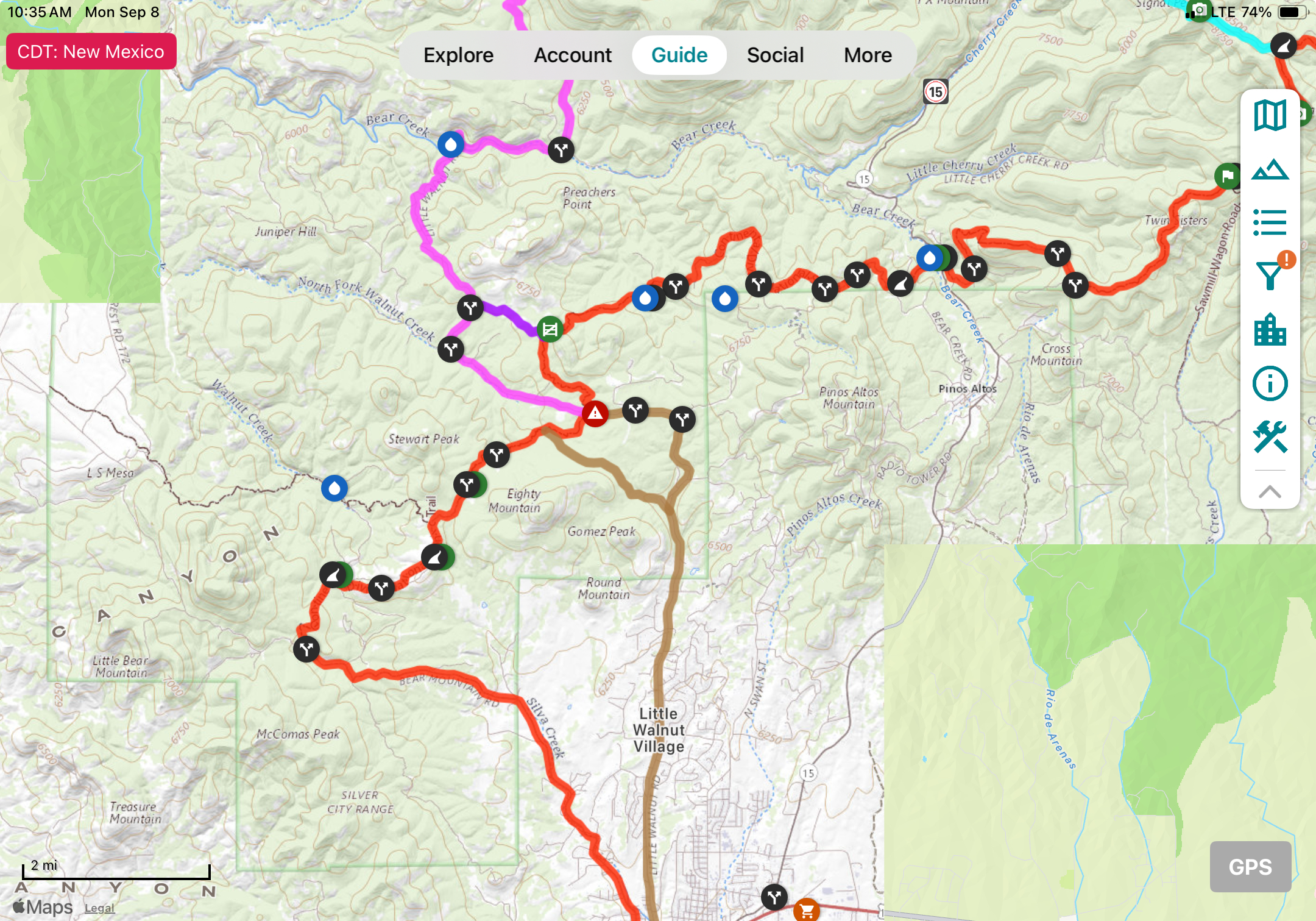
So is this trail really part of the CDT? On Gaia, the trail evaporates into LS Mesa. On FarOut (above), it's an outlier, although the windmill is listed as a possible water source. So the mystery continues. But meanwhile this is an outstanding local hike, with varied terrain, relatively high elevation and good forest cover. It feels like a hike deep in the Gila Wilderness, even through the trailhead is just 10 miles from town!
