Big Timber Trail
August 24, 2025
When Melissa Green from the Gila Trails crew asked for help scouting water resources on the Big Timber Trail, I eagerly volunteered. This trail is in a remote section of the Gila Wilderness that is new to me, and I missed a work trip earlier this year thanks to Covid. Dennis, Ken and Dave also signed up, and we met at the Rocky Canyon Campground on a Friday night.
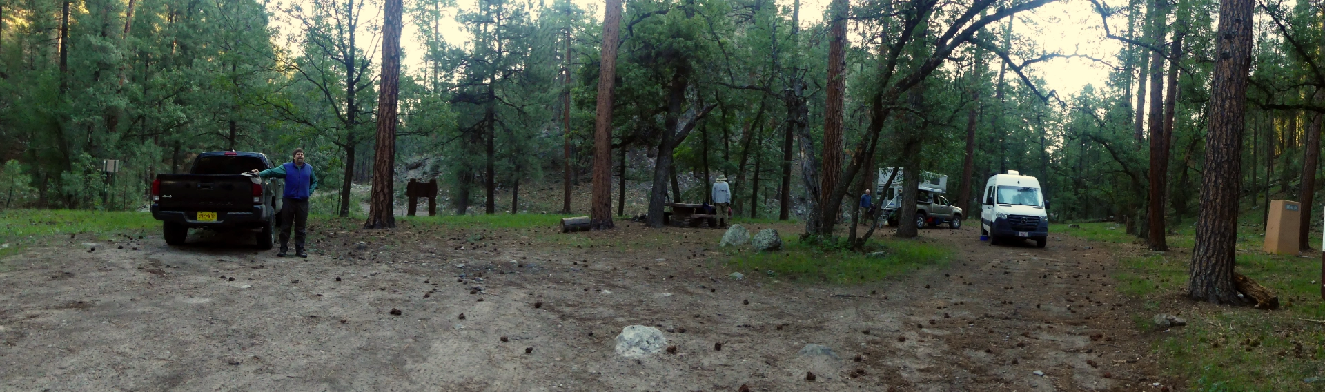
Rocky Canyon is an old fashioned primitive campground in a very steep and well-forested canyon, with no facilities other than a pit toilet and some CCC-era stone picnic tables. Being a Friday night, we had some concerns about yahoos, but only two cars went by the whole night. Absolute peace and quiet!

We got an early start, hoping to beat the heat. An Abert's Squirrel kept me entertained while the rest of the crew packed up.
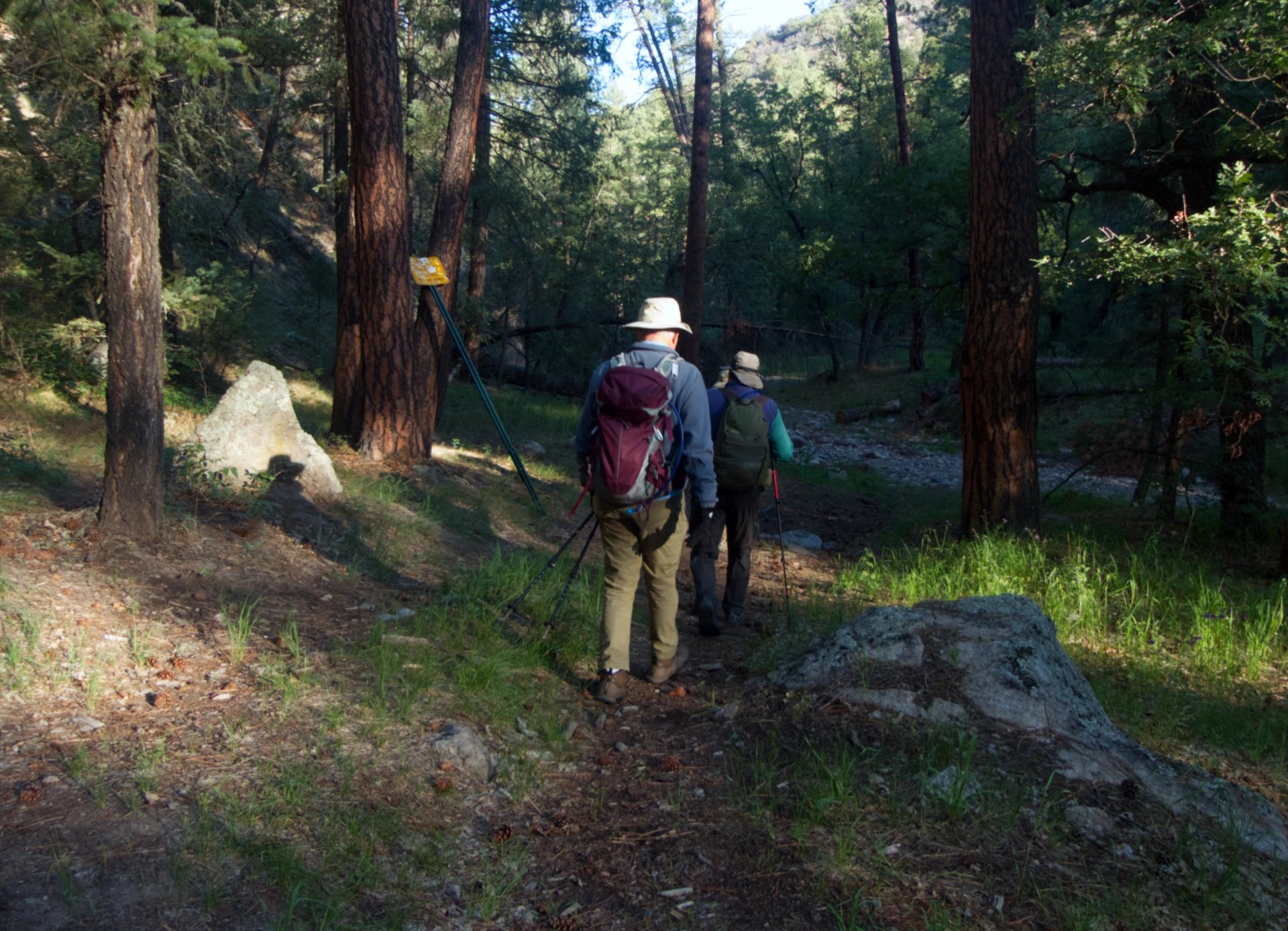
Setting out. Despite some recent rain, the creek was dry save for a few murky puddles.
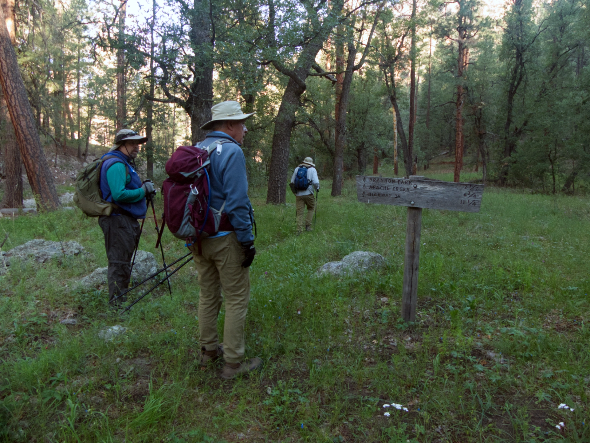
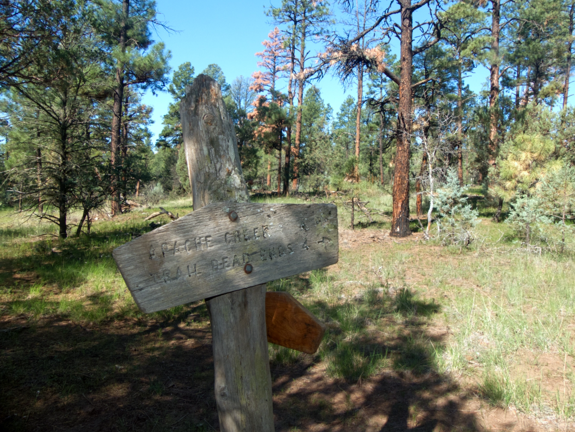
An ancient trail sign where our trail leaves the creek bed.
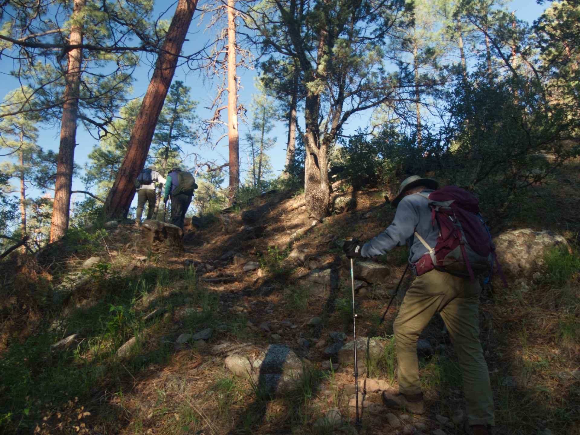
Those jackets got peeled off in a hurry as we huffed and puffed up the steep climb out of Rocky Canyon!
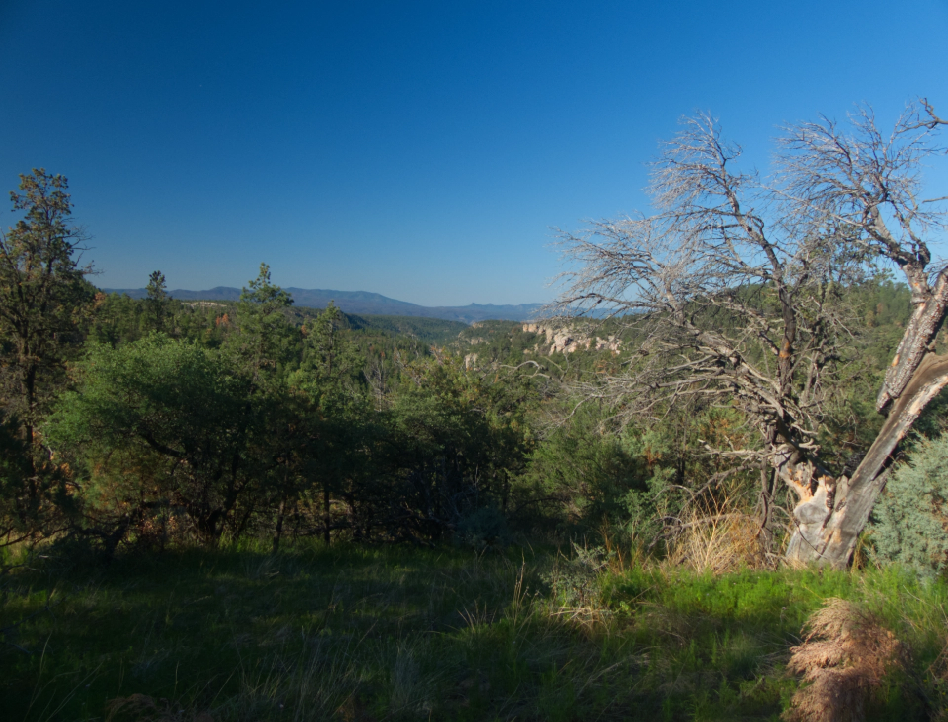
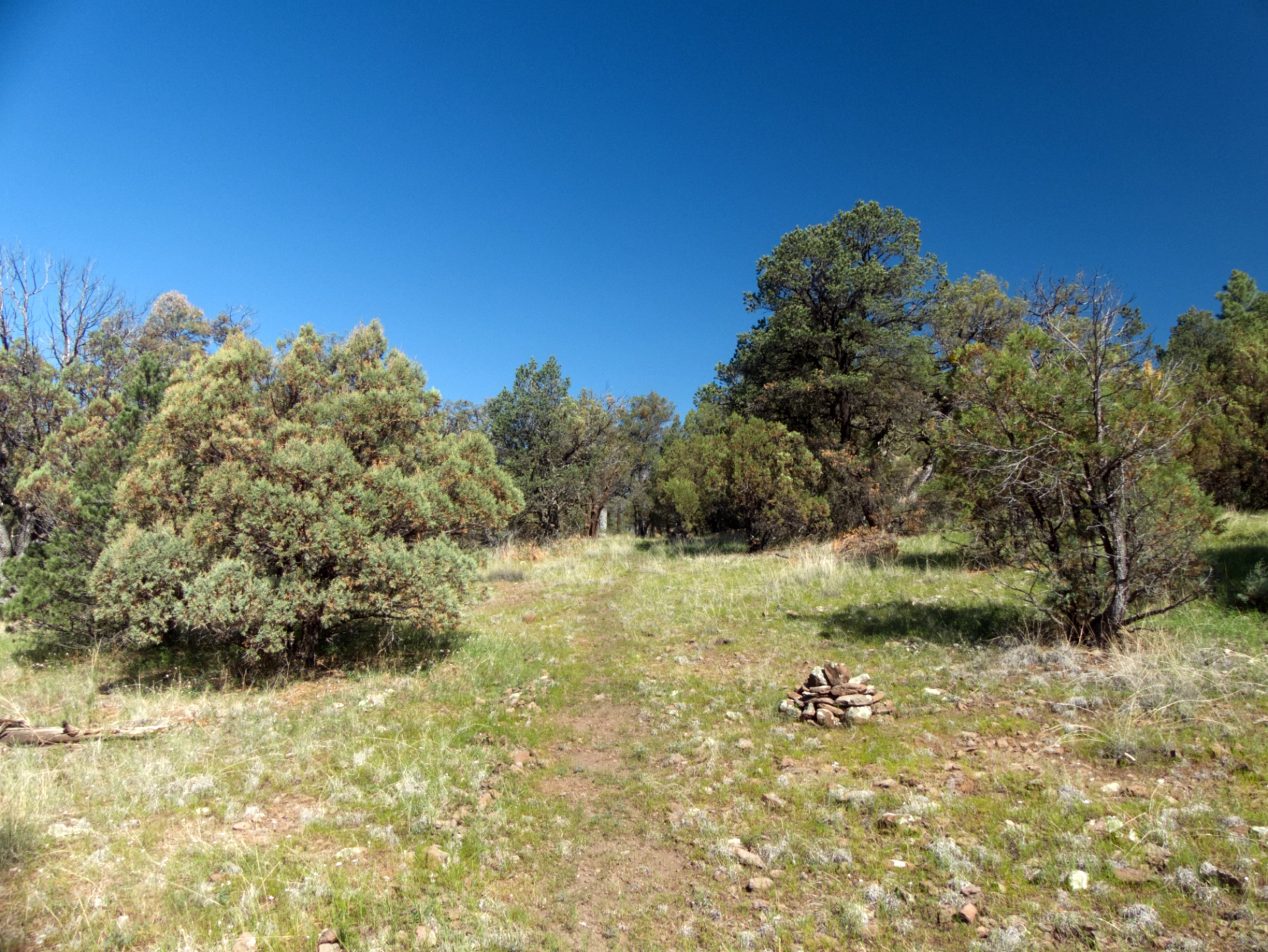
This trail has no summits and only a few breathtaking views, but a lovely tread of packed earth and pine straw — so different from most steep and stony trails in the Gila Wilderness! — makes for excellent hiking as the trail wanders along the top of the ridge.
At about 1.3 miles, this trail joins the CDT. This area is a spider's web of game trails, abandoned Forest Service trails, and new route under construction. Navigational aids highly recommended!
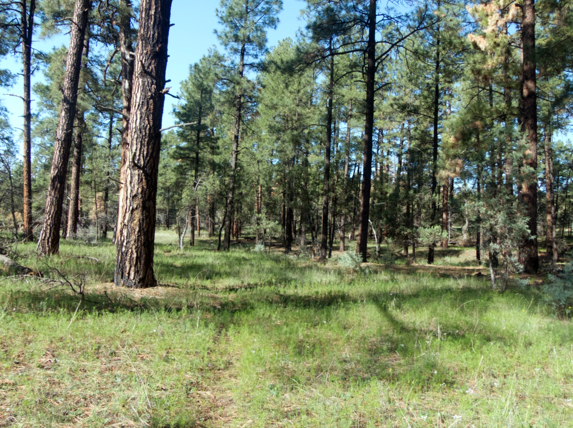
Around 2.5 miles we entered Brannon Park, a dreamy landscape of enormous pondos and long green meadows, with almost no underbrush. The forest invites you to wander freely in any direction!
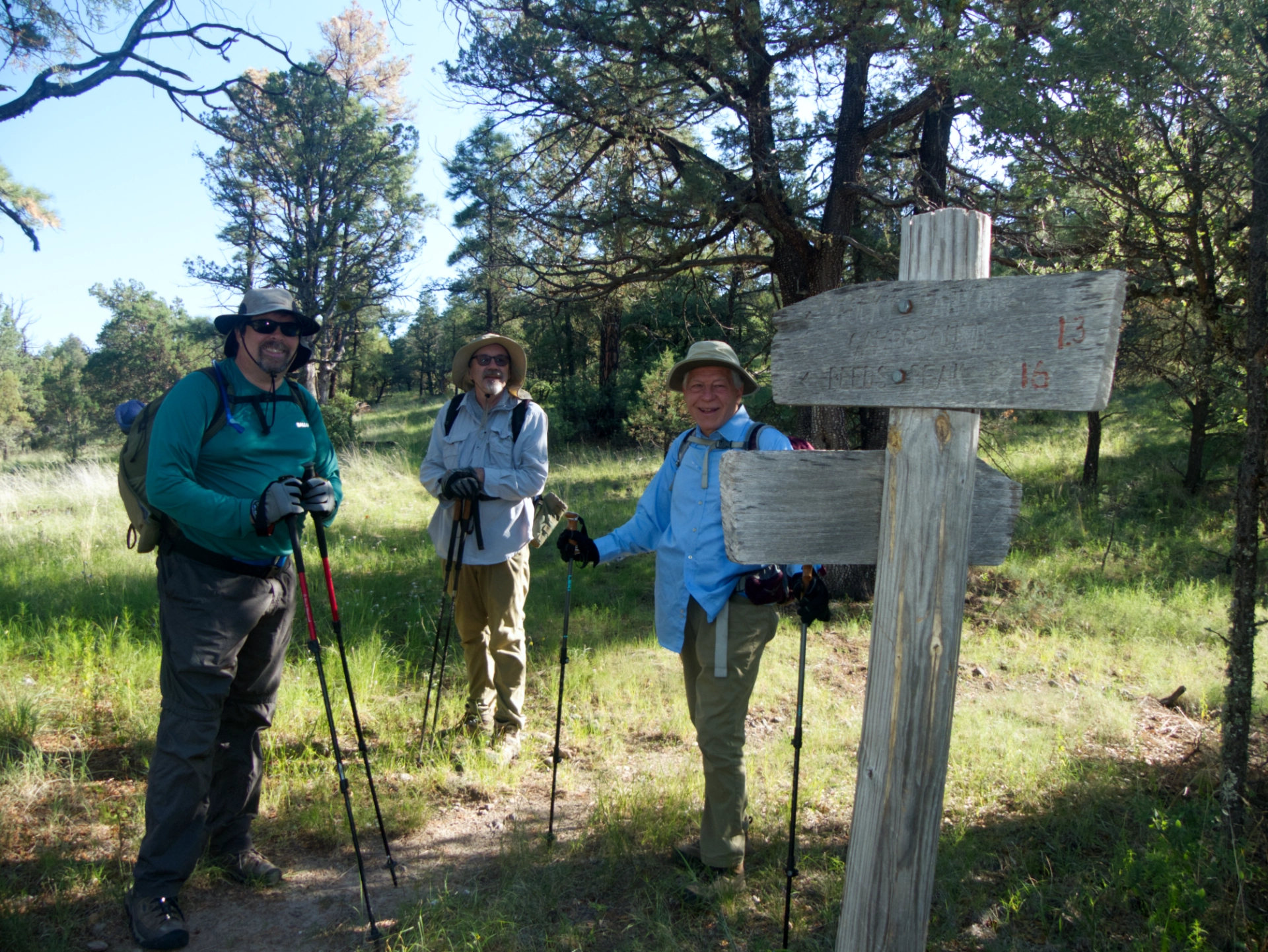
The junction with Big Timber Trail. Old maps show this trail extending all the way to Apache Creek.From here the trail is faint, so pay attention to your gps track and the stone cairns.
Our mission was to check the level of a pond near the base camp about 4.5 miles out, in preparation for a Gila Trails work trip August 25-28.

We located both the base camp and the pond, but there was only a few inches of murky water, meaning the trail crew will need to pack in water.

It was a long slog on the full sun back to camp. We stopped frequently to rest in the shade, drink water, and photograph wildflowers.

The dominant flowers included enormous fields of Southwestern Cosmos and Nodding Onions.
We soaked our heads and changed into dry clothes for the drive home, including a stop for pizza at the Log Cabin in Mimbres. But along the way we saw two Great Divide cyclists laboring up North Star Mesa Road, so we stopped to ask if they were okay. They were almost out of water! The two cyclists — one Australian and one German — left the Canadian border on June 26, and expect to finish on August 26. They had planned on getting water at Wall Lake, but the lake was dry. We drained our 10-liter fusti into their water bottles and wished them safe travels. Will this crazy drought never end? This initial exploration deep into the northern Gila Wilderness was magical, but I'd hesitate to plan another trip here until there are more dependable water sources.
