Ecopalypse
A Too-Close Look at Climate Change in the Gila National Forest
August 3-5, 2023
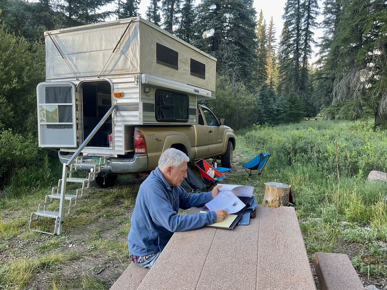
We met Kerry last October, on top of Escudilla Mountain. We stayed in touch, and talked about backpacking in the Gila Wilderness on his next swing through the Southwest. But the Summer of 2023 arrived with historic high temperatures and a reluctant monsoon. Since it was too hot in the lower Gila, we aimed for higher ground, agreeing to meet at the Willow Creek Campground, 7841'.
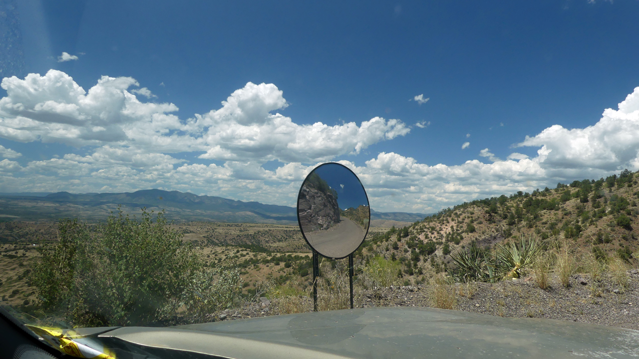
We last drove the road to Mogollon seven years ago, at the tail-end of a backpacking trip along Mineral Creek. The road is extremely steep, curvy and narrow. This mirror helps alert drivers to oncoming traffic on a blind curve.
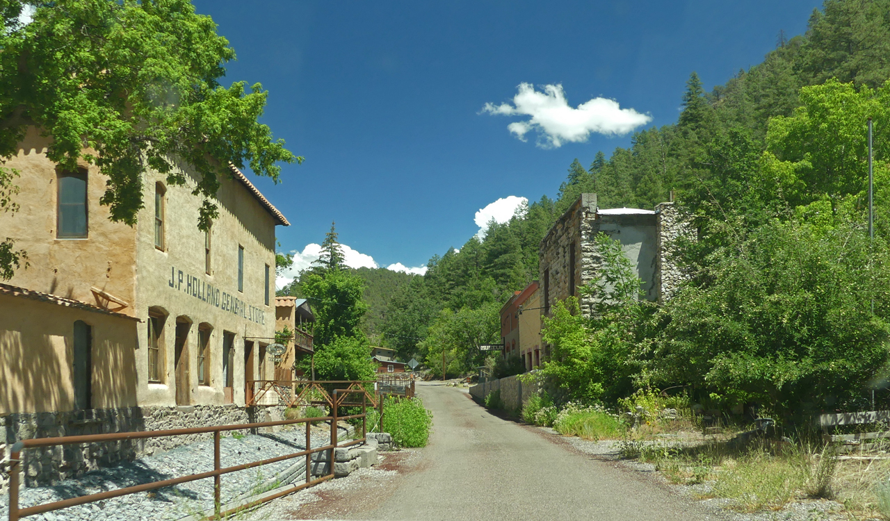
Entering Mogollon.
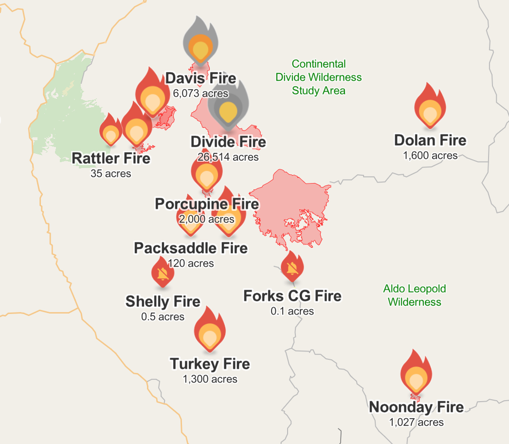
It's hard to believe that NM 159 is a numbered New Mexico "highway"! We averaged about 10 mph. But we were much more concerned about the temperature, which stayed stuck at 95°. Smoke from the Divide Fire was visible at Silver Creek Divide, where the temperature was 90° at 9200'.
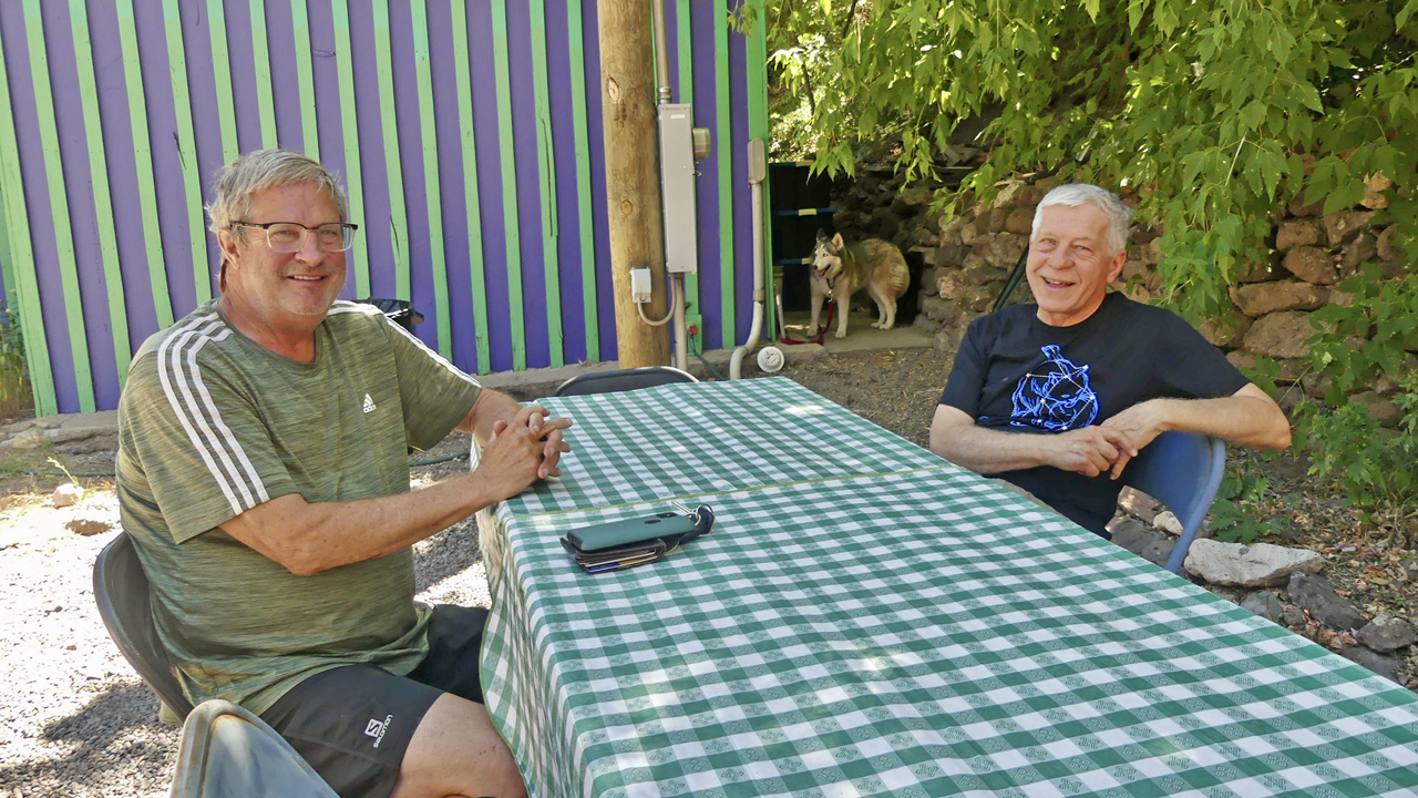
We settled in at Willow Creek Campground, where all but two campsites were occupied by firefighters who had converged on the Gila from all over the United States. Kerry rolled in about a half hour later, having wisely approached from the north via Reserve.
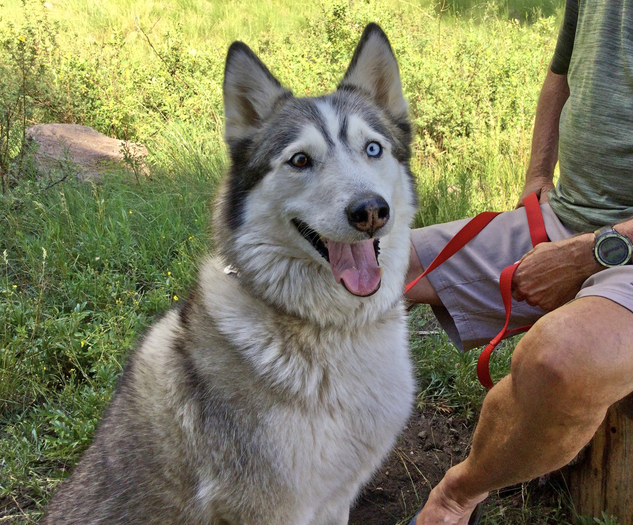
Kerry's dog "Tessa", a very, very good girl!
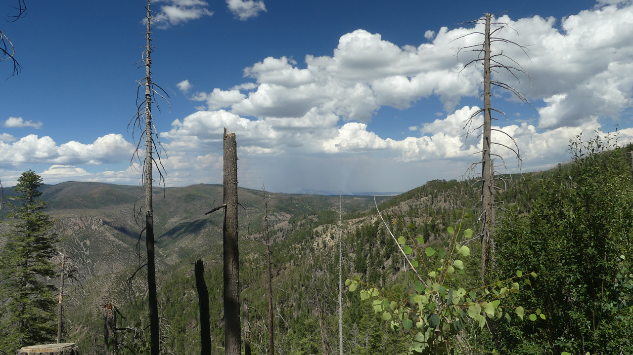
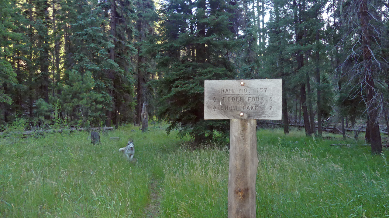
We had originally planned to hike the Mogollon Crest Trail, but shelved that plan due to the extreme heat and lack of shade. Instead, we aimed for the Middle Fork Trail. But the Snow Lake Valley was shrouded in thick smoke. Of course the lake level had dropped precipitously, and the creek was dry below the dam. The stench of dead fish filled the air, and the turkey vultures were having a party.
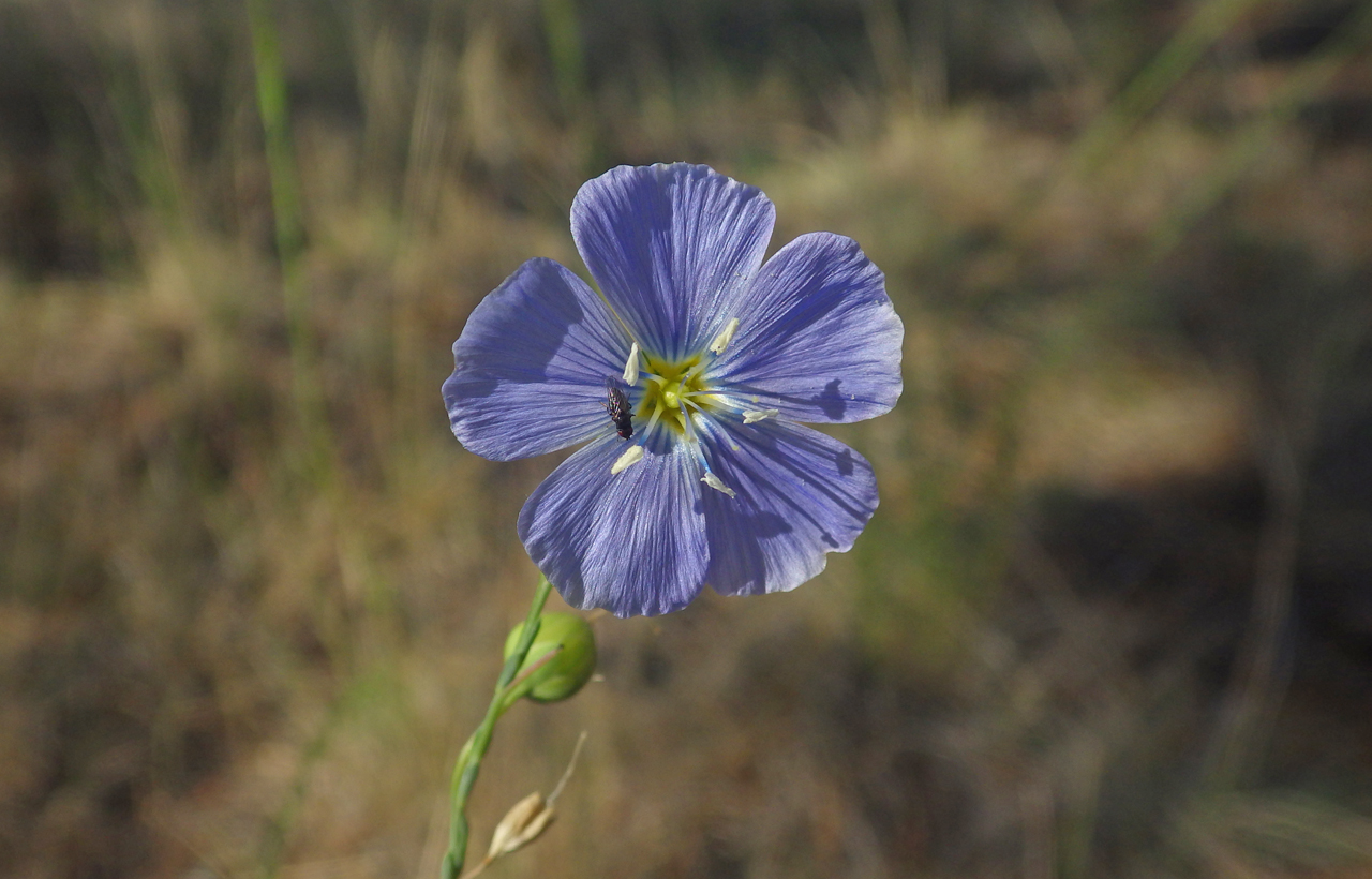
Lewis Flax. We have photographed this wildflower countless times, but it's a beauty!
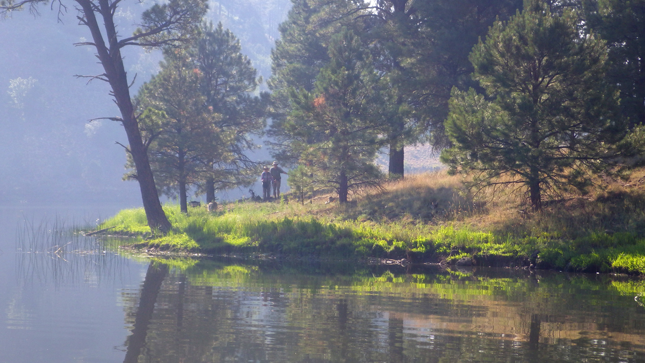
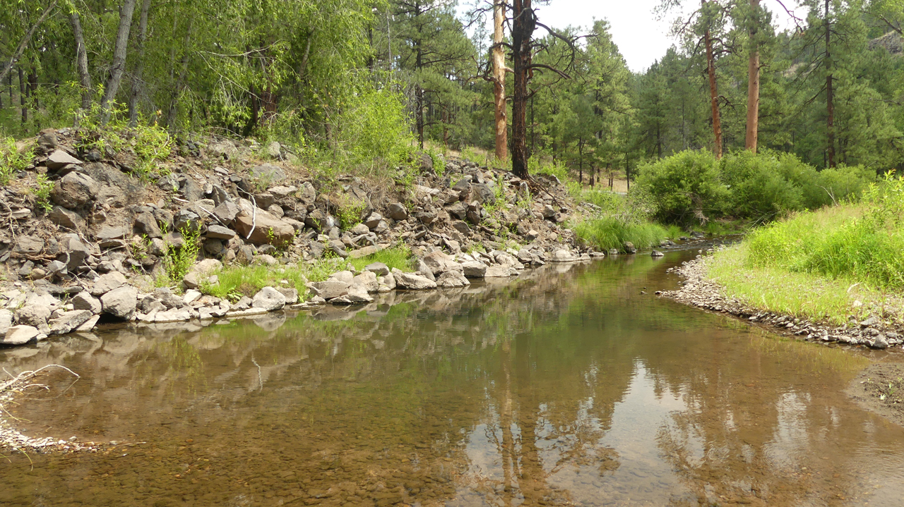
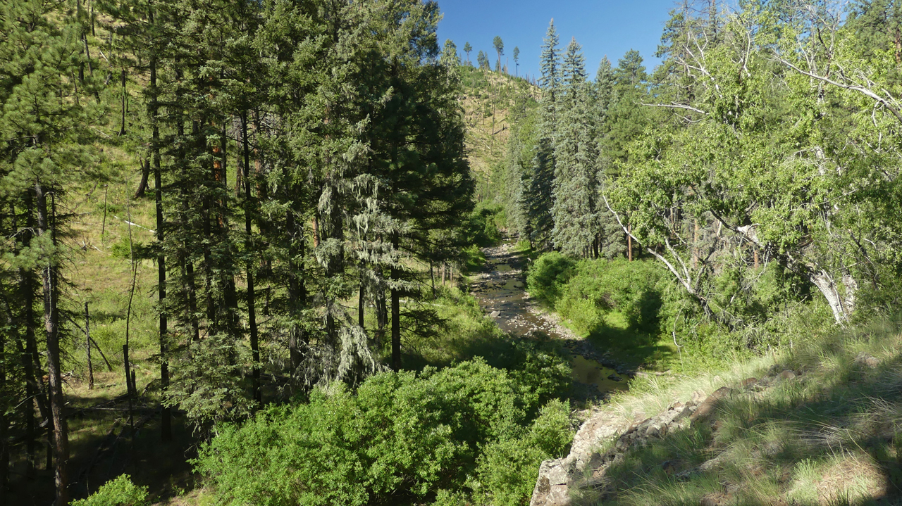
Dennis and Kerry at the confluence of the Middle Fork and Gilita Creeks. Fortunately, the Gilita was flowing nicely, injecting much needed water into the Middle Fork Gila River.
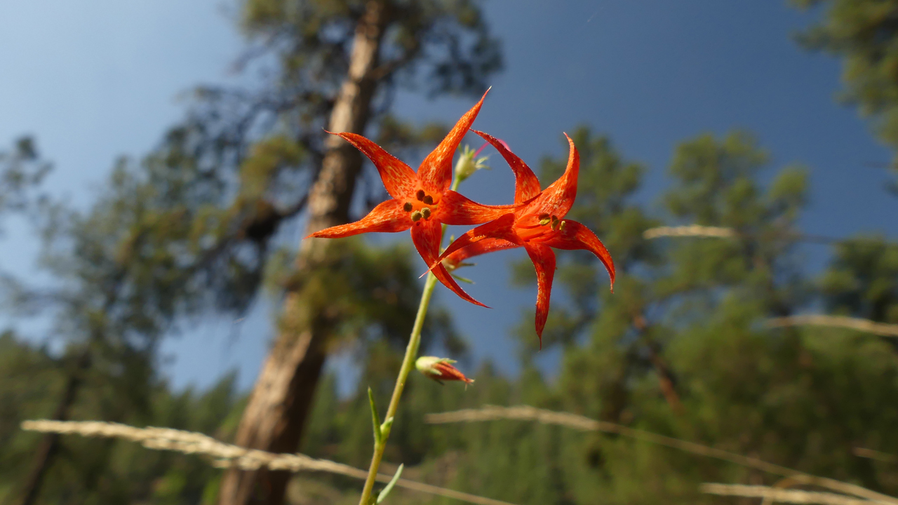
Scarlet Gilia
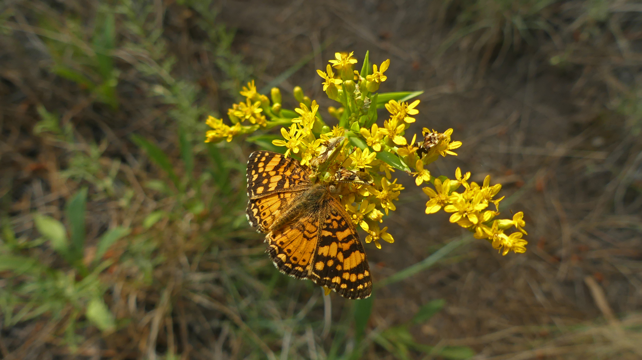
A Crescent Butterfly
By 10 am, the heat was already stifling, and we were drenched in sweat. At the fishing hole, we enjoyed a refreshing dip in a pool about four feet deep, and delightfully chilly.
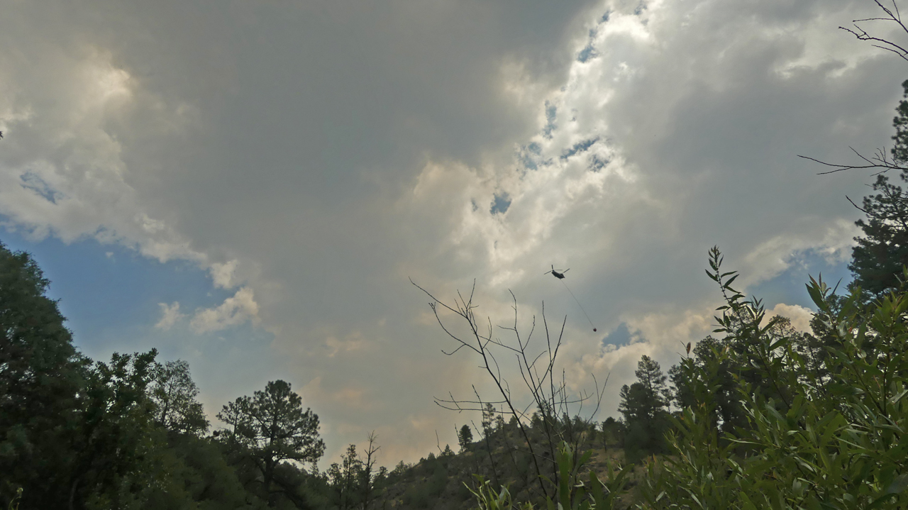
Right about then, we noticed chuffs of white smoke and the eerie glow of pyrocumulus clouds. Very quickly major hardware arrived on the scene. DC 9 and 747 tankers, spotter planes and helicopters. We later learned that the Porcupine Fire had blown up that afternoon, about two miles from the farthest extent of our hike.
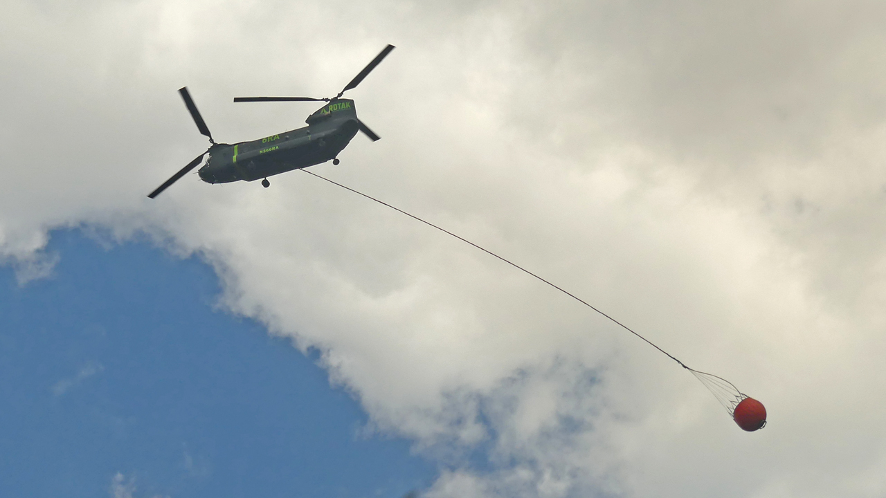
A 1992 BOEING CH-47D Rotorcraft (44 seats / 2 engines). It can lift 1000 pounds of water.
A smaller helicopter scooping up water from Snow Lake.
Incredibly, the temperature at Willow Creek Campground dipped below 40° that night, only to gallop to 85° by the afternoon. We hoped to get a jump on the heat by hiking nearby, on Gilita Trail from the west.
The trail traverses an old burn scar, but there were some lovely meadows along the way.
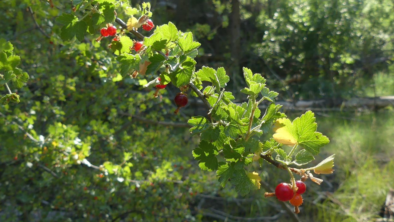
Wax Currant
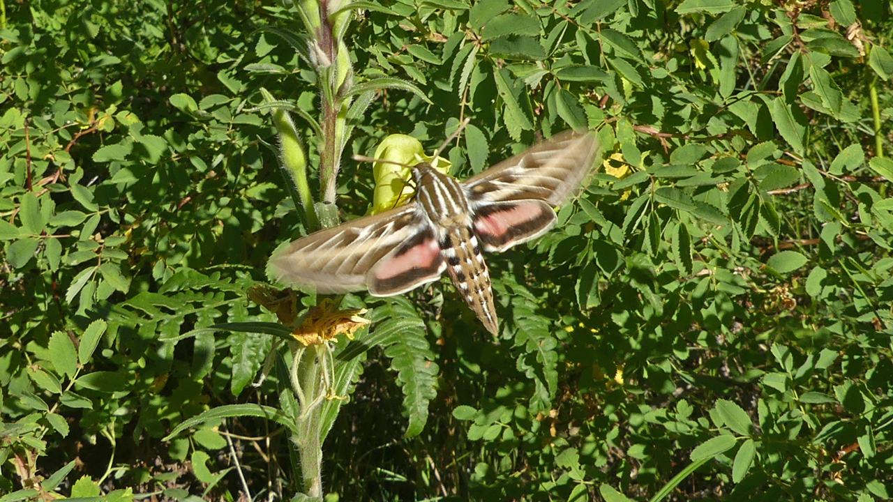
White-Lined Sphinx Moth on a Tall Evening Primrose
We surprised ourselves by opting to go back down Bursum Road, lured by the prospect of lunch at the Purple Onion. The road didn't seem as rough, or take as long, on the descent.
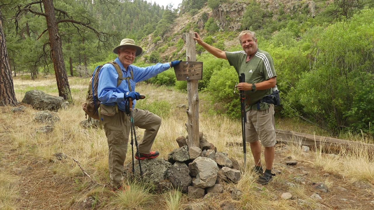
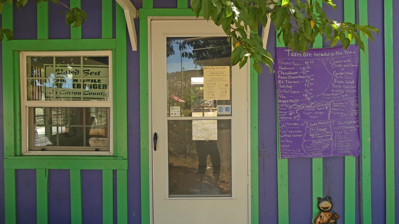
The food at the Purple Onion was just as good as we remembered. Dennis had a bacon cheeseburger and an espresso milkshake. I had purple slaw and a BLT with about a quarter-pound of very crispy bacon, and we split a piece of their famous pecan pie. We also spent a long time at the Old Kelley Store, talking to Cresta, its very engaging and knowledgeable proprietor. It was a great way to end the trip. We bid farewell to Kerry and headed down the mountain.
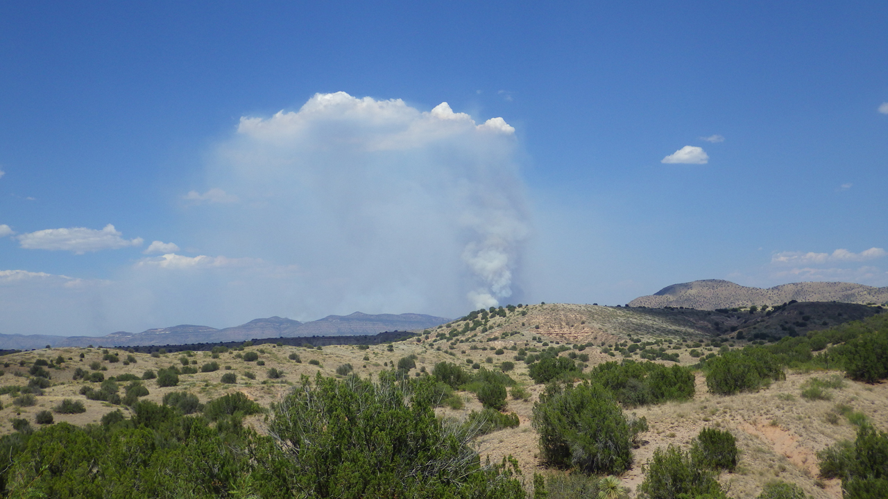
We had just passed Aldo Leopold Vista when we saw a monster fire in the Pinos Altos range. The Turkey Fire had been percolating along since July 22, but extreme temperatures and high winds whipped it to 1300 acres the afternoon of August 5. We drove to a high point on NM 211 to get a closer look, and were shocked to see that the temperature was 106°
Now back home in Silver City, I continue to check the forecast every day. Today's high is 99°, and there's no rain in sight. We all continue to cheerlead for the monsoon, but honestly, I think that ship has sailed. Barometric pressure is rising and the dew point is flatline. The Forest Service is throwing everything they have at the fires, but there are too many! What will happen if the crazy heat continues? Or if it gets worse? I've been hiking, backpacking and camping in the Gila Wilderness for 25 years. Will there be anything left of it when this awful Summer is over?
