Canyons of the Lower Gila Box
March 7-10, 2024
Four whole days in the Lower Gila Box, with no real itinerary. Total freedom to just go wherever our feet could carry us!
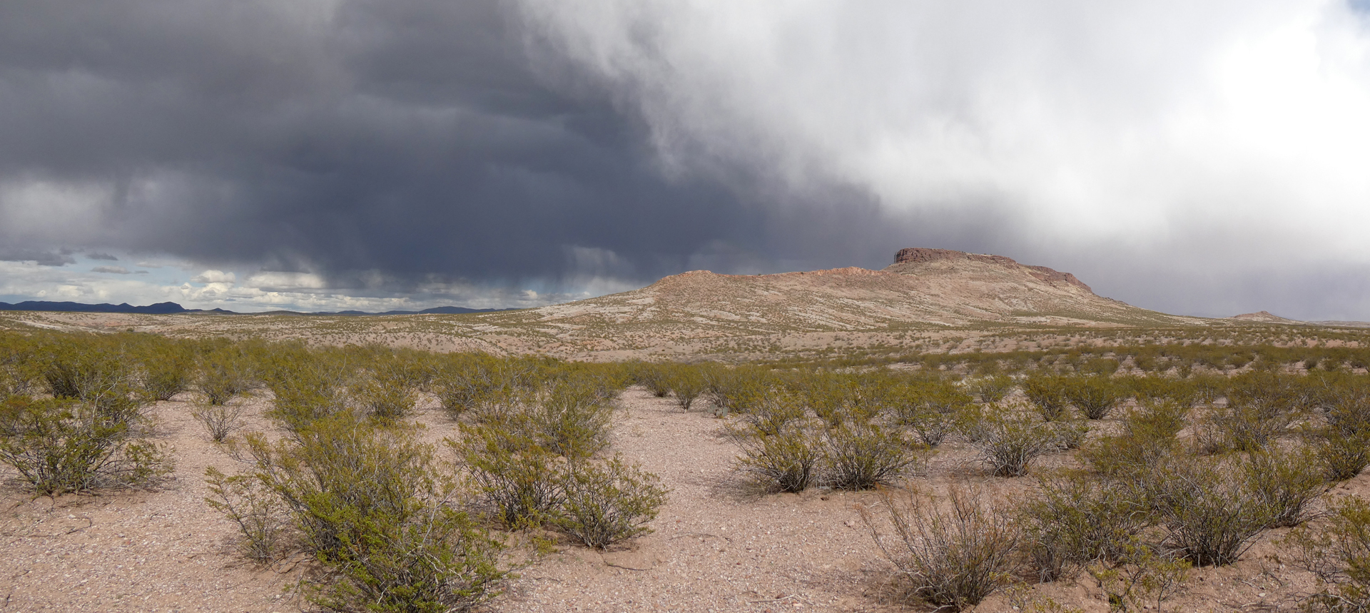
The forecast called for a week of sunshine and warm weather, but apparently the Gila didn't get the memo. Inky clouds blanketed the eastern horizon, and strong winds battered and buffeted our camper all night long.
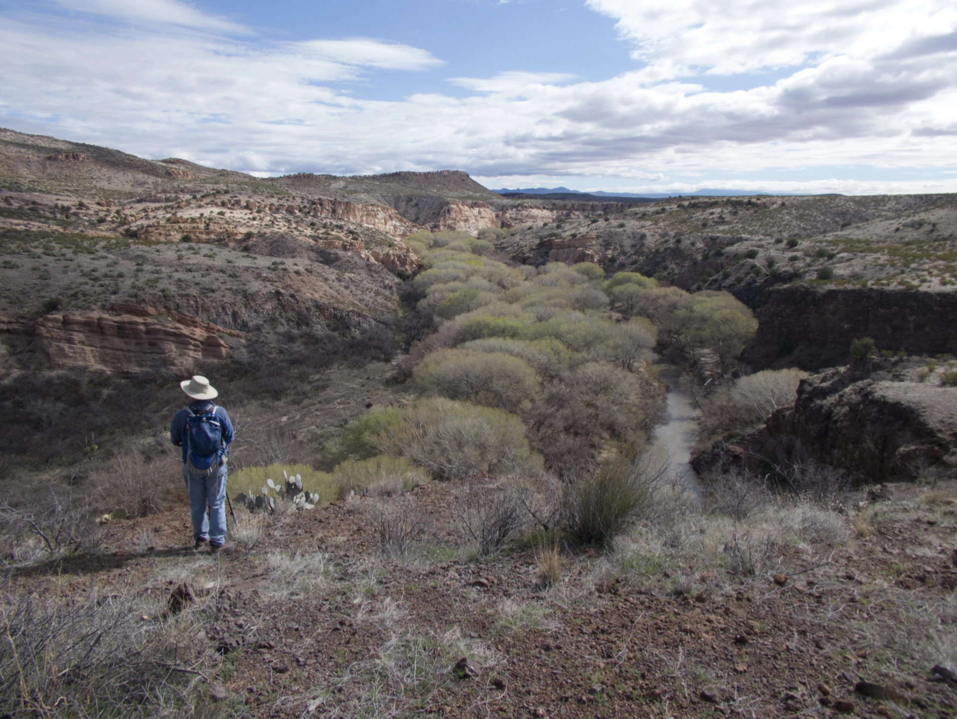
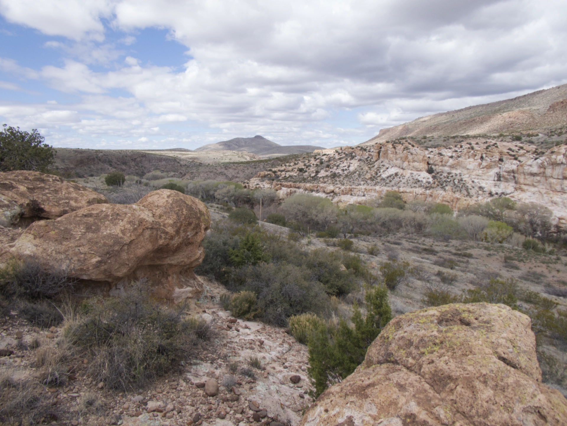
On previous trips we were thunderstruck to discover that with a bit of scrambling, it was possible to hike both Box Canyon and Cottonwood Canyon all the way to the Gila. This time we we set our sights on White Rock Canyon.
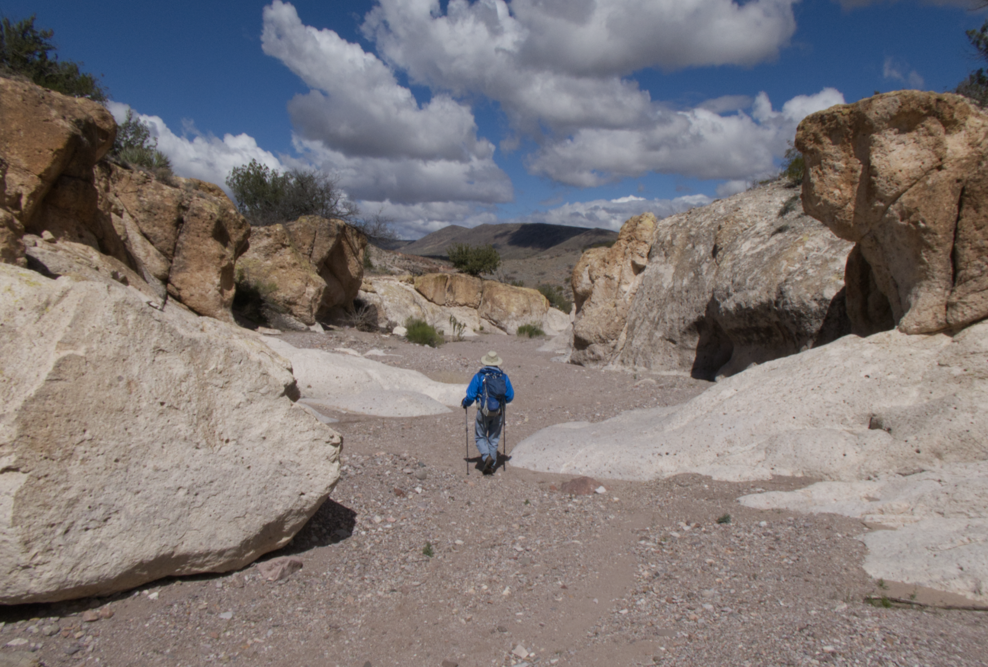
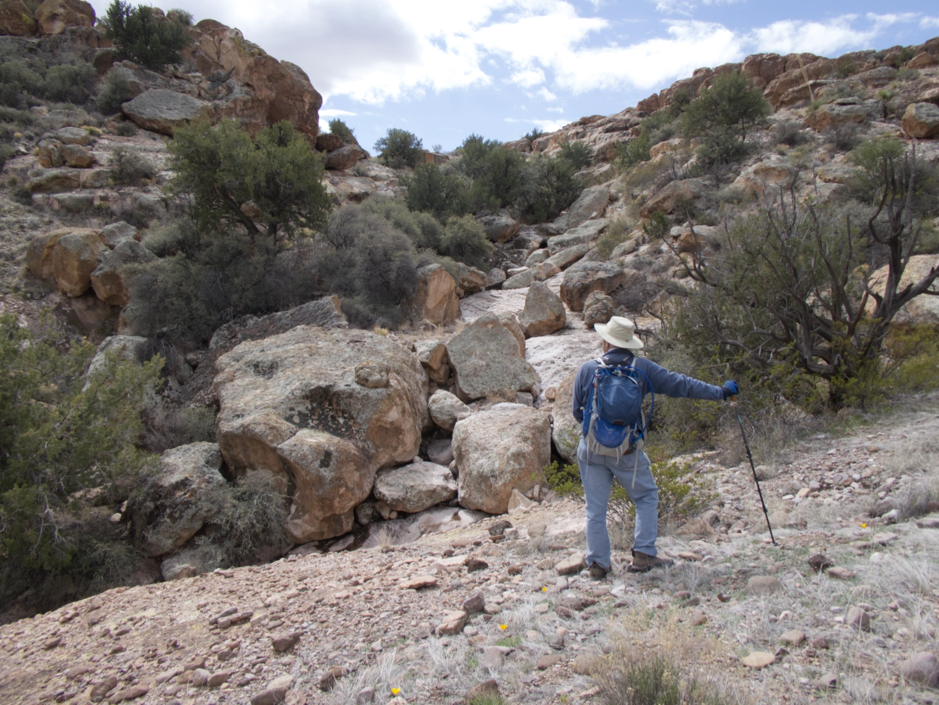
It started out broad and sandy, lined by its namesake white volcanic tuff. But we soon encountered a stone dam that required a big detour, followed by an impassable rock pile.
Undeterred, we scrambled up out of the canyon, over the ridge and into an adjacent side canyon.
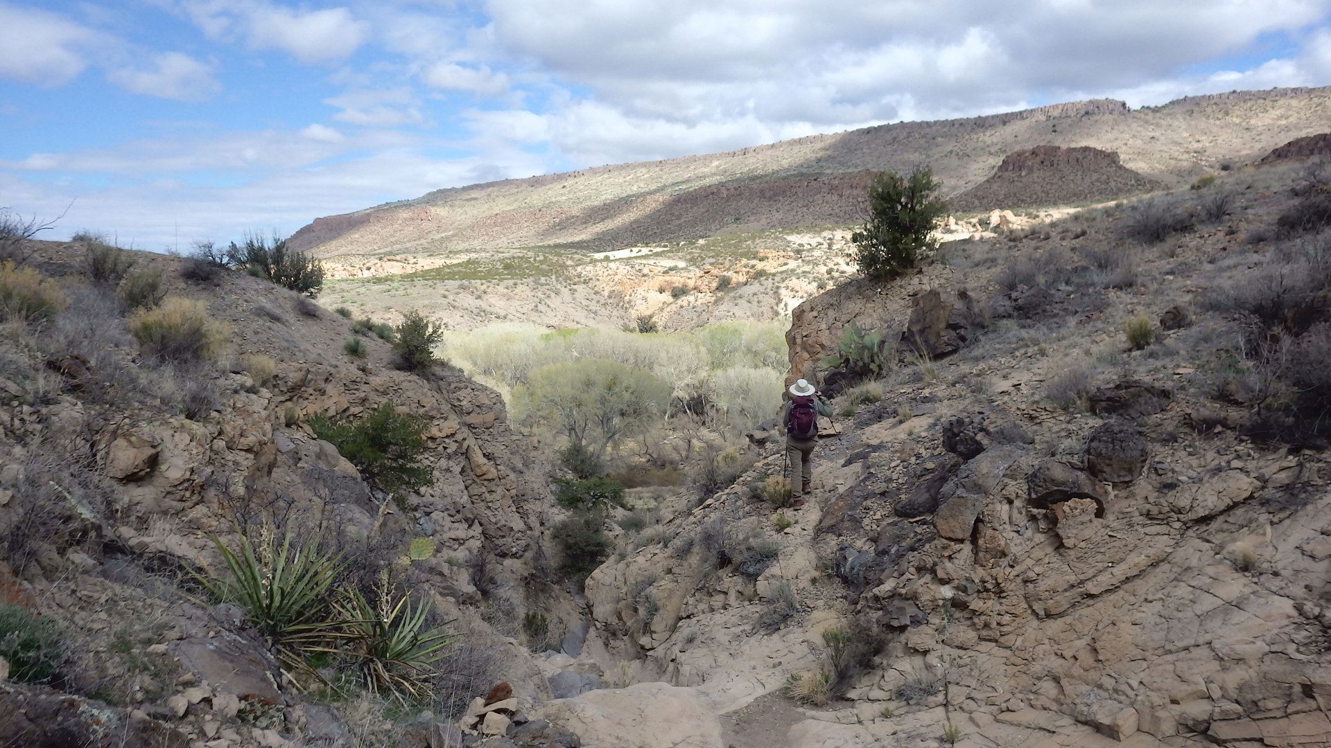
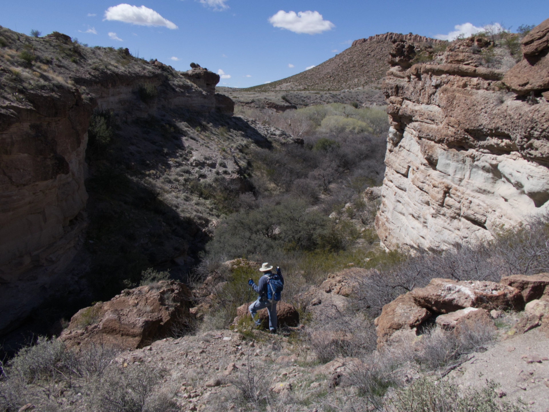
But after downclimbing another half mile or so, we dead-ended at another dry waterfall.
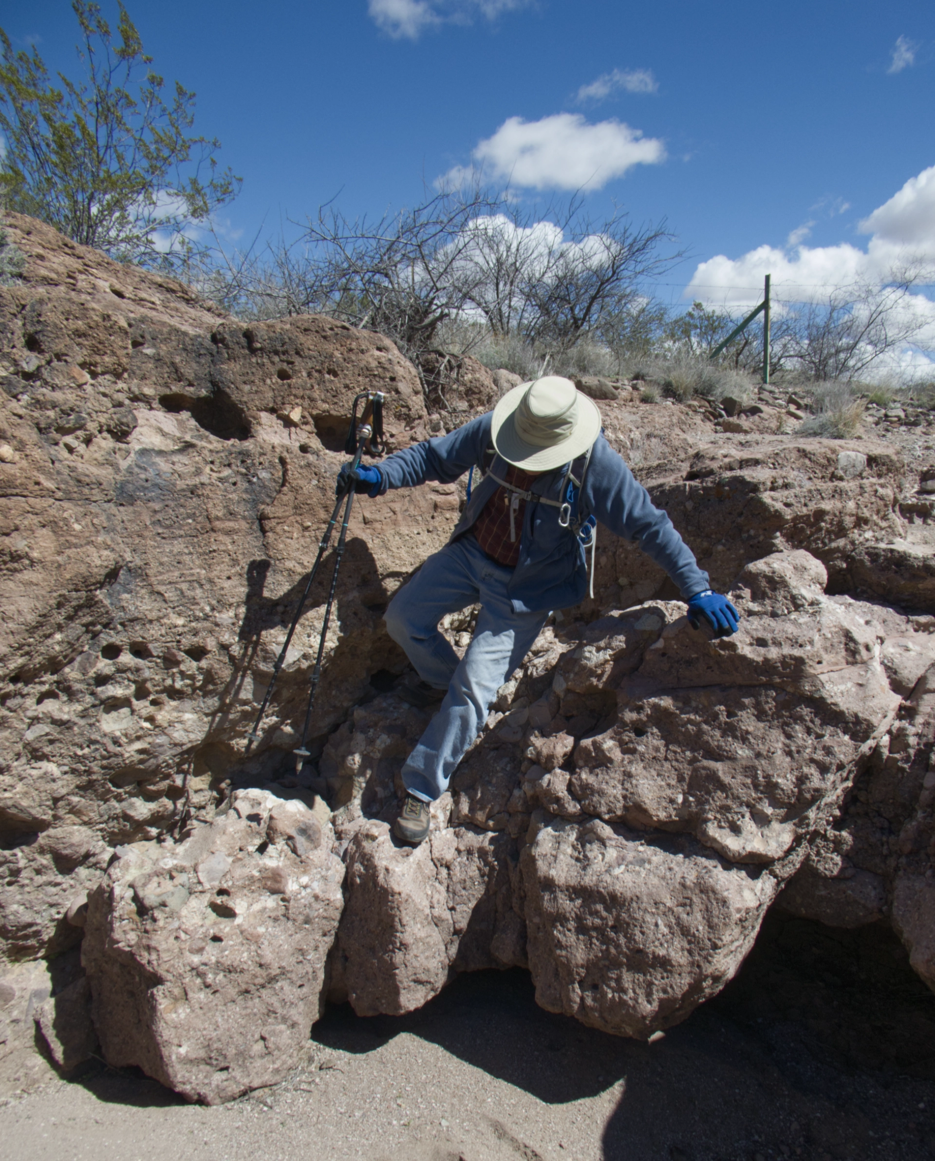
So we skittered up the side once again, and dropped into an unnamed canyon that we hoped might run us all the way to the Gila River.
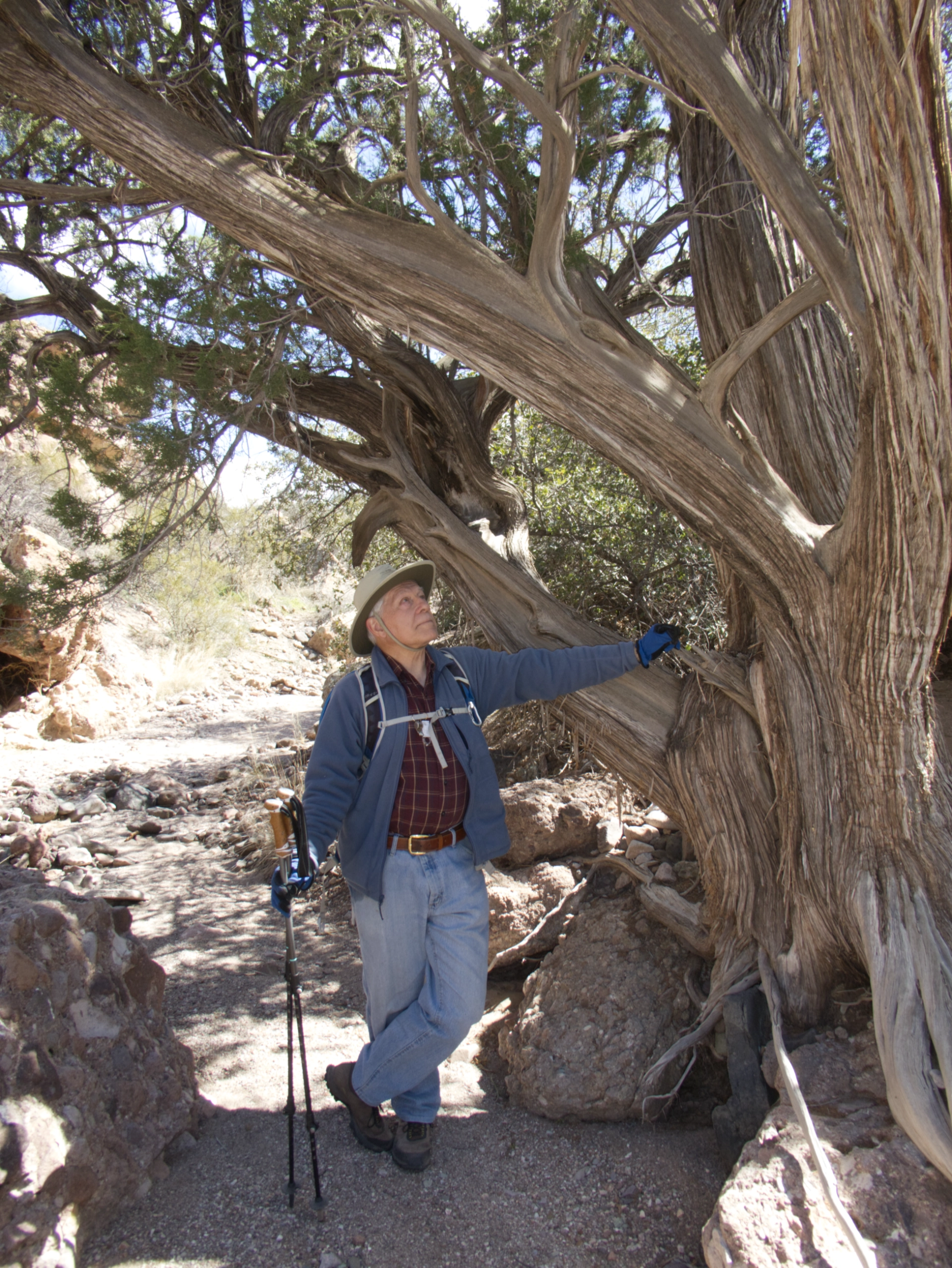
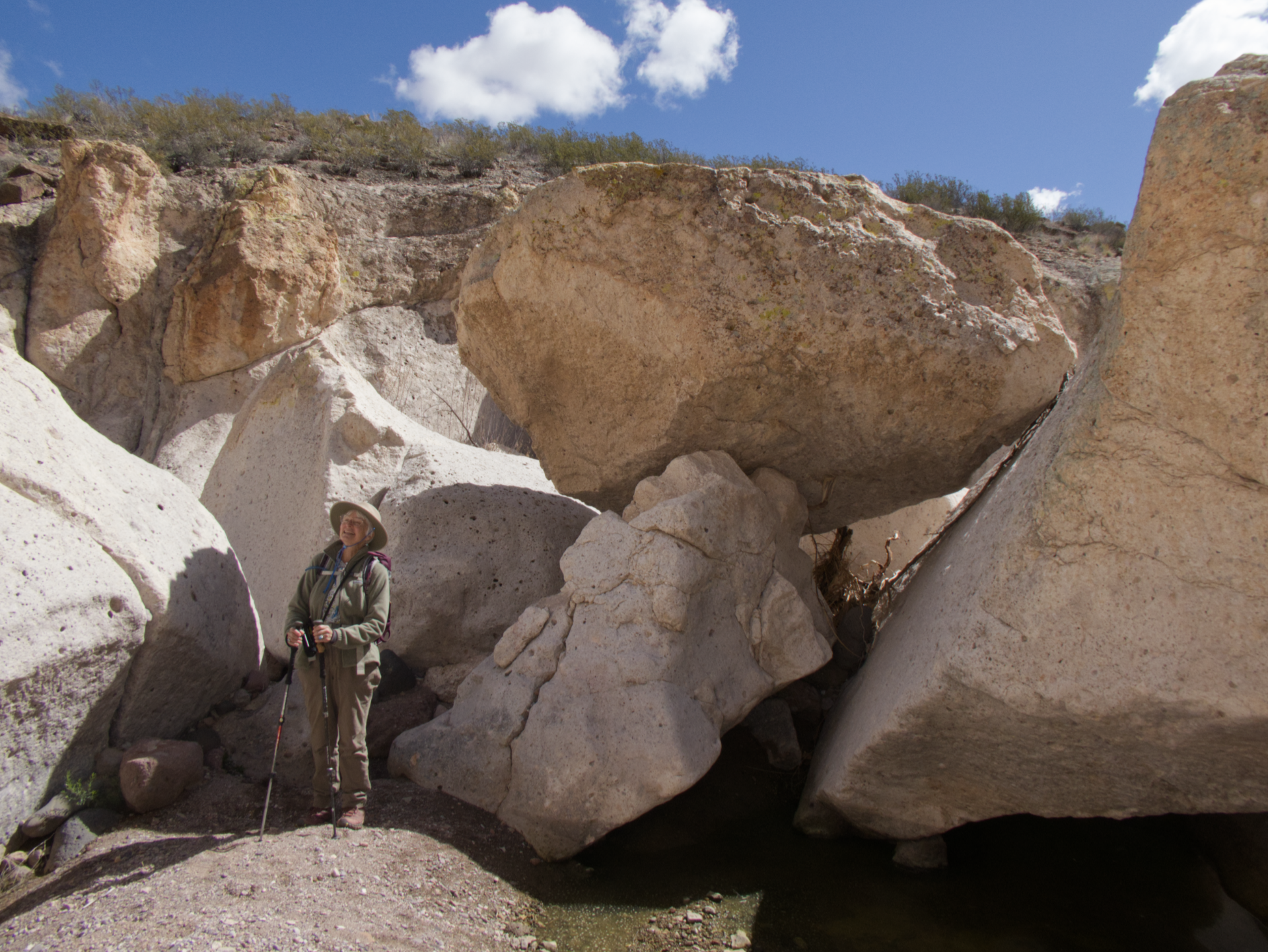
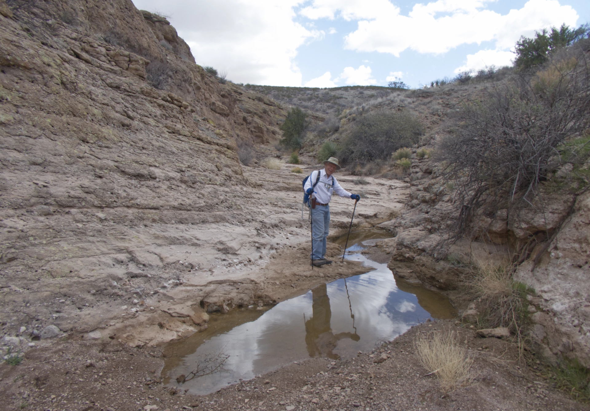
Somewhere in this canyon we found ourselves in a sweet oasis shaded by ancient junipers and house-sized boulders.
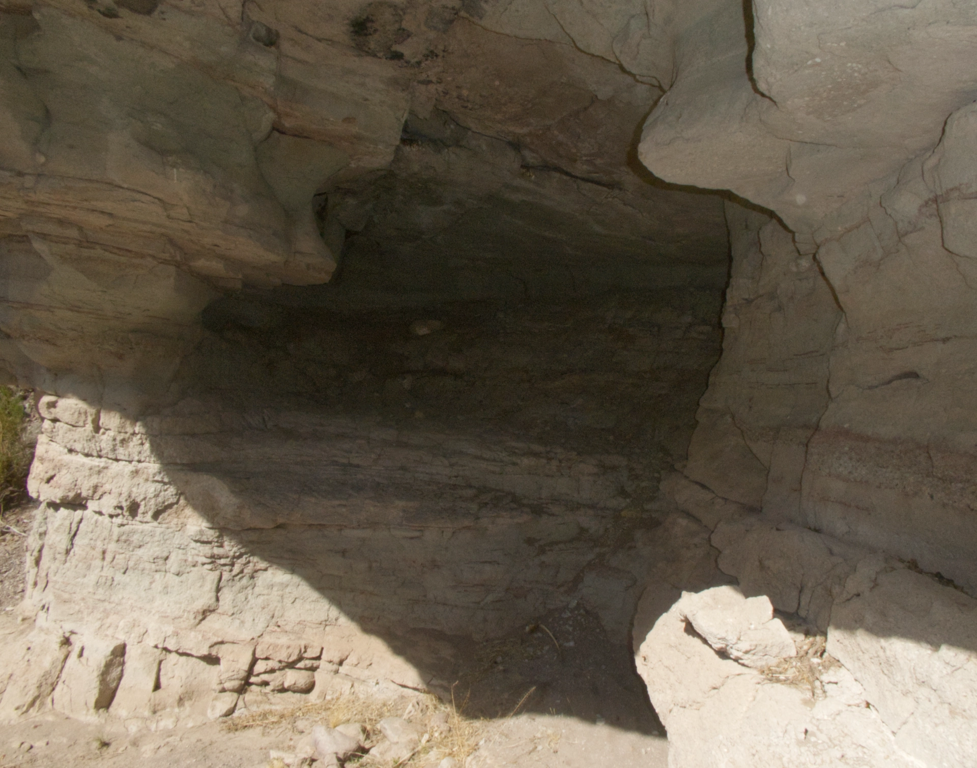
There were a couple of caves nearby, but no evidence of habitation.
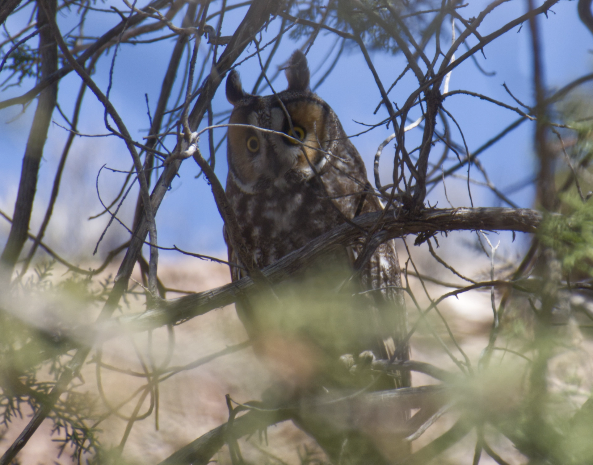
A single silent shadow winged overhead, followed by its mate. One of them sat in the juniper long enough for me to snap a photo. We assumed they were great horned owls, but later learned they were long-eared owls. We found owl pellets and plenty of scat on the rocks, so perhaps they had a nest nearby.
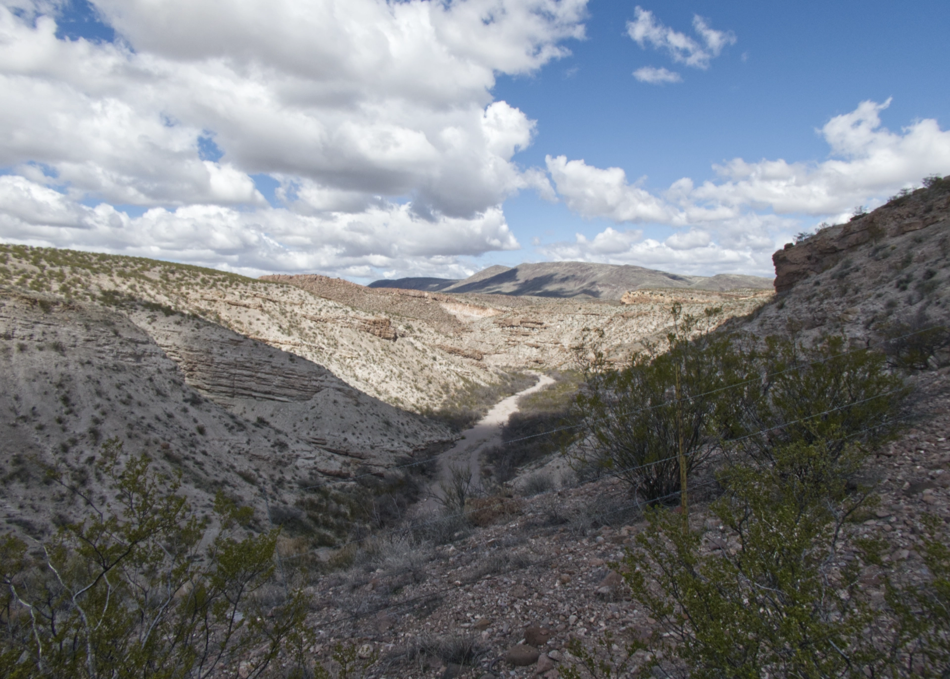
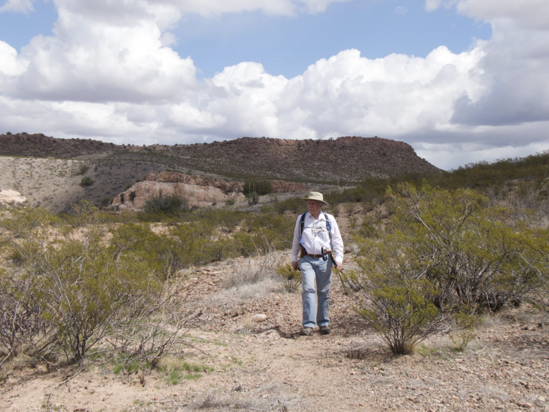
So near, yet so far away! We could see the yellow-green leaves of cottonwoods along the Gila a quarter mile away, but our route ended with a 30-foot drop over steep and rocky terrain.
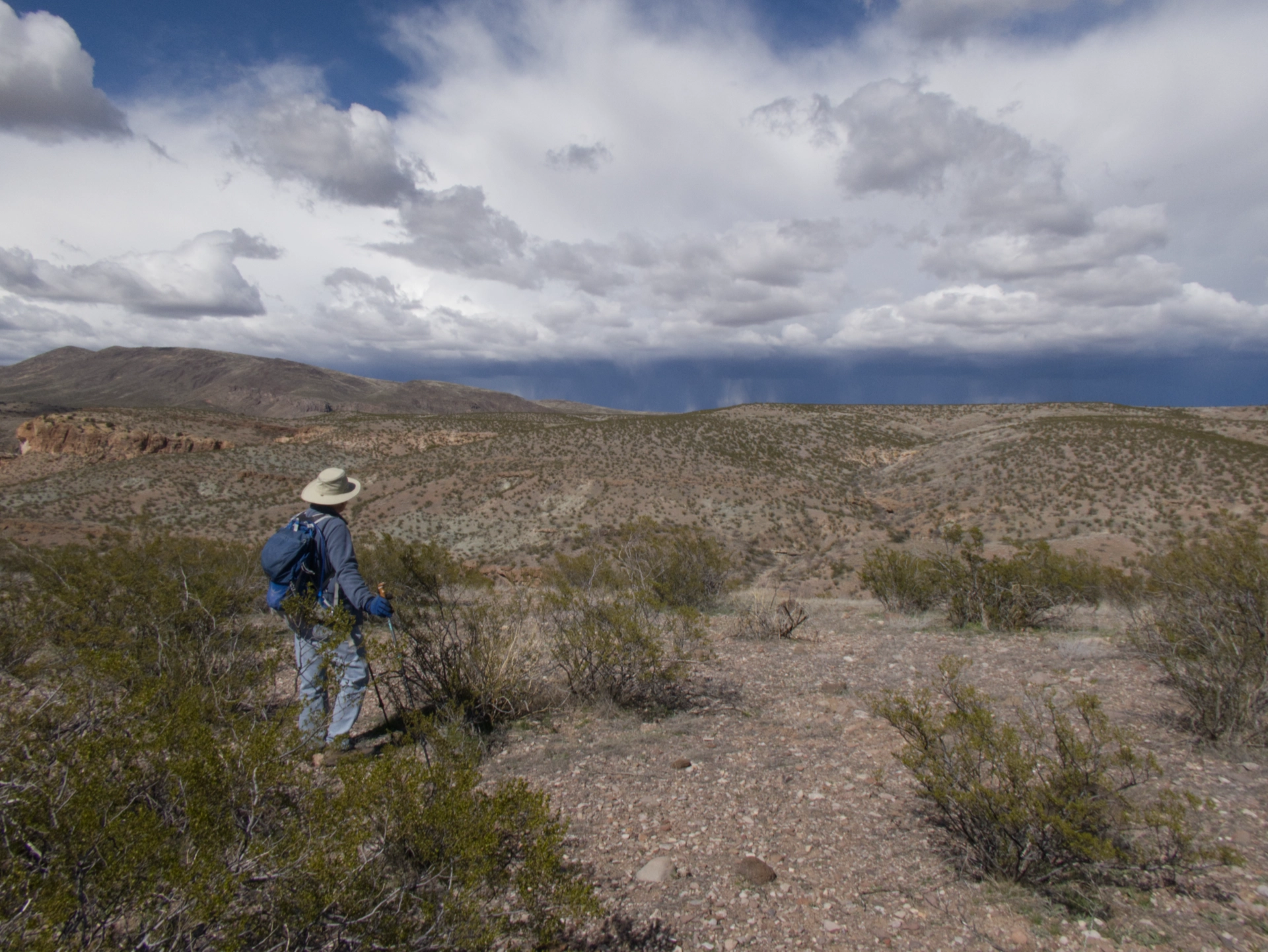
By then it was getting late, and there was a serious storm brewing. We stayed high on the ridges and made a beeline for the camper.
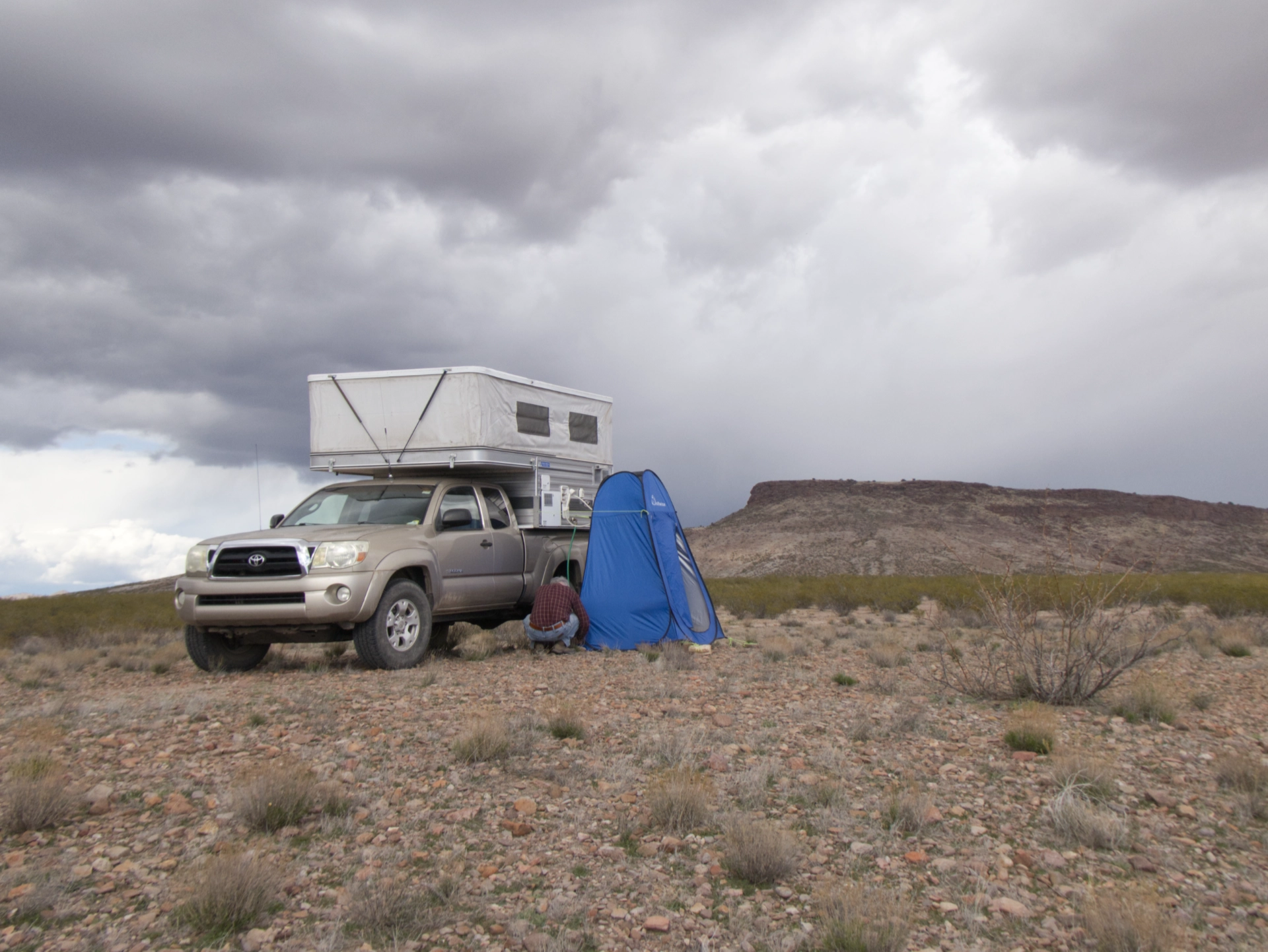
By lashing the shower tent to as many big rocks as we could find, we kept it from blowing away long enough to get our showers.
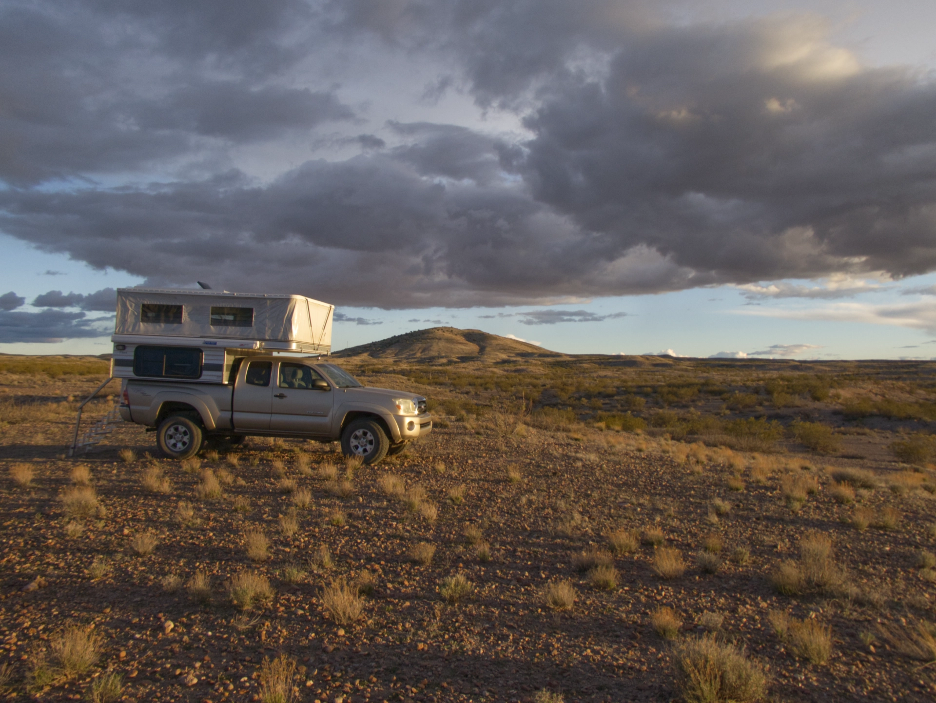
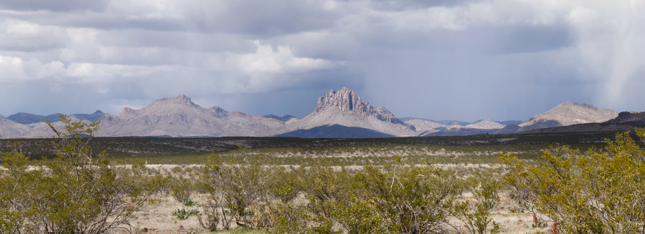
Sunset with Cañador Peak in the distance.
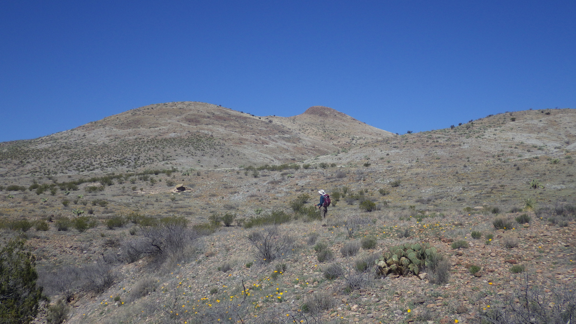
The next morning we made our way to Spring-on-the-Bluff, where the newer maps show a faint trail along the headlands.
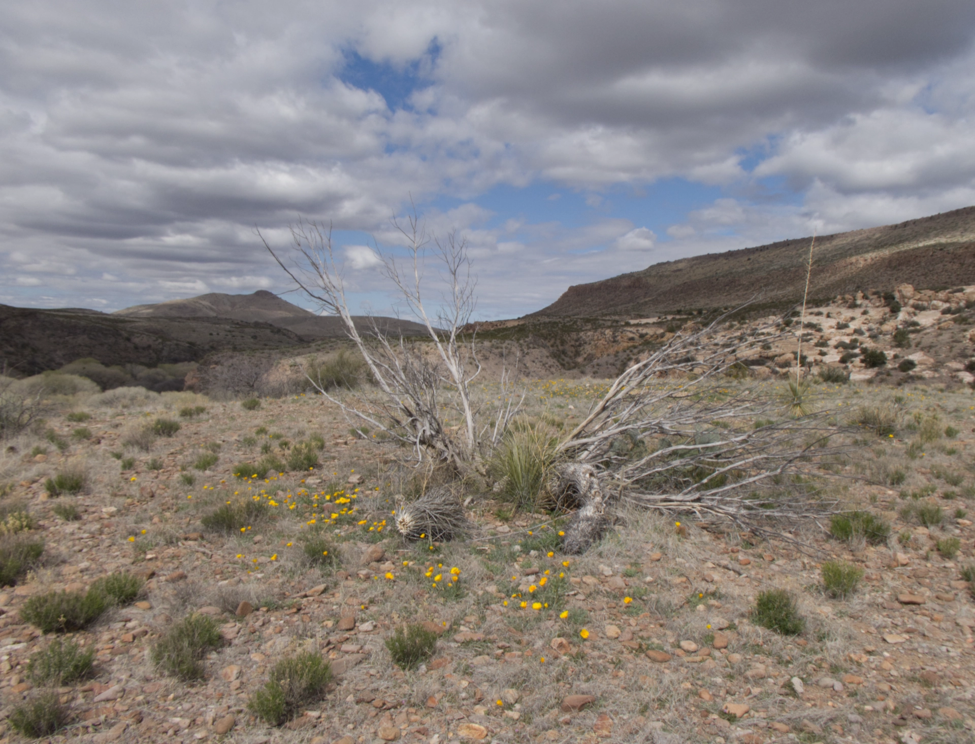
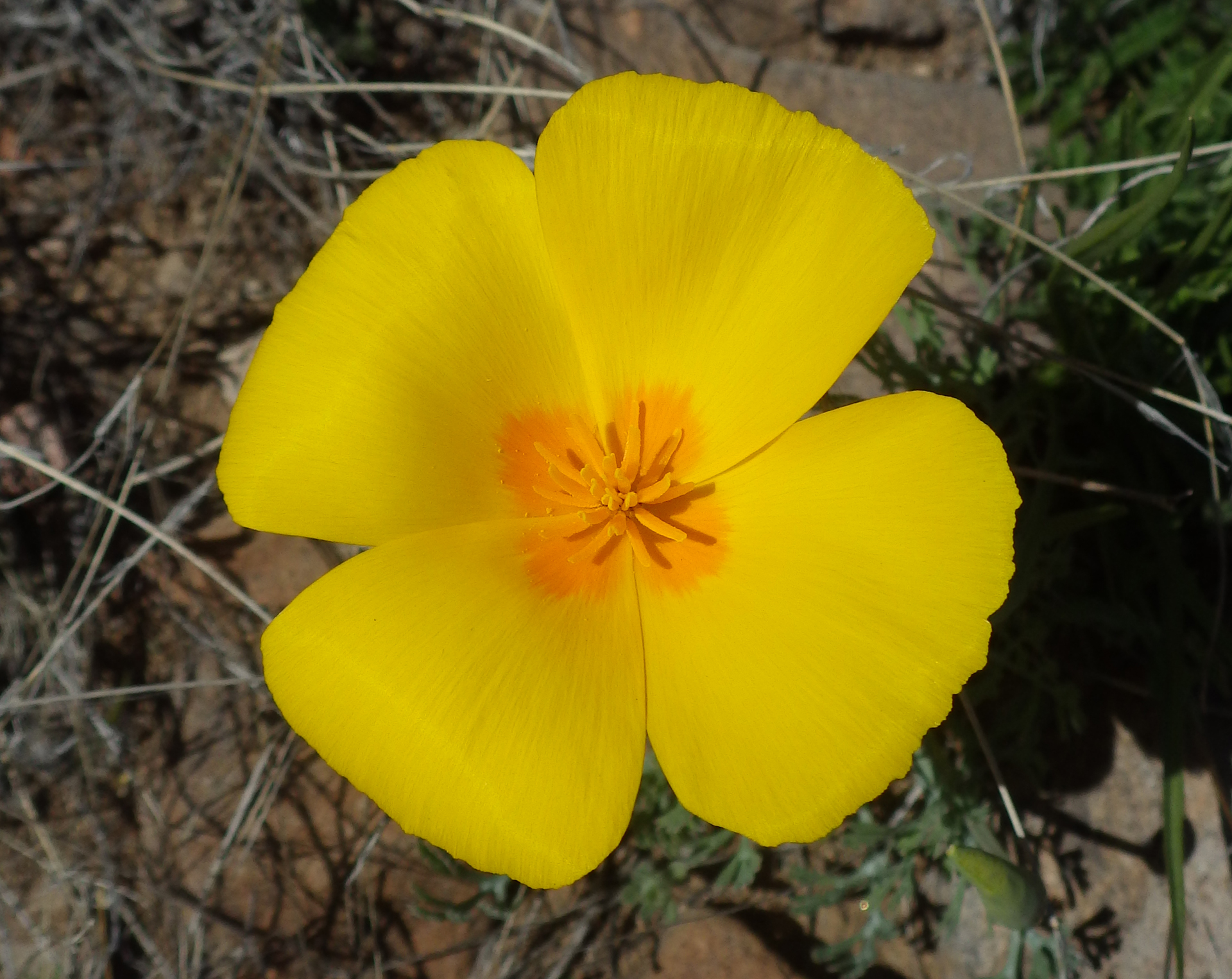
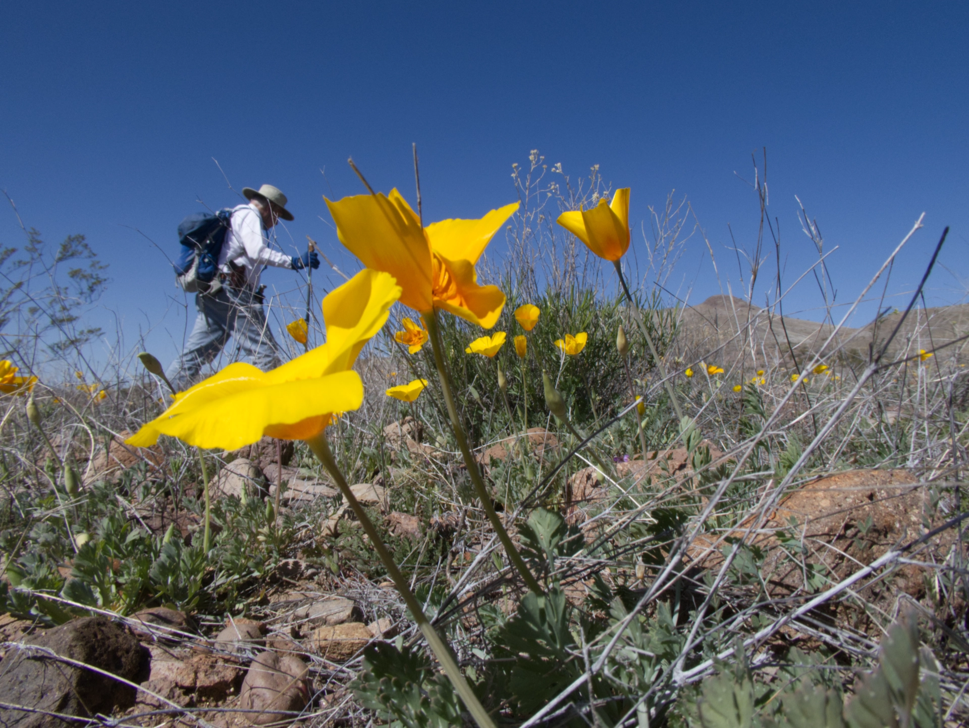
On the edge of the bluff we were delighted to find a clutch of poppies — the first of the year for us!
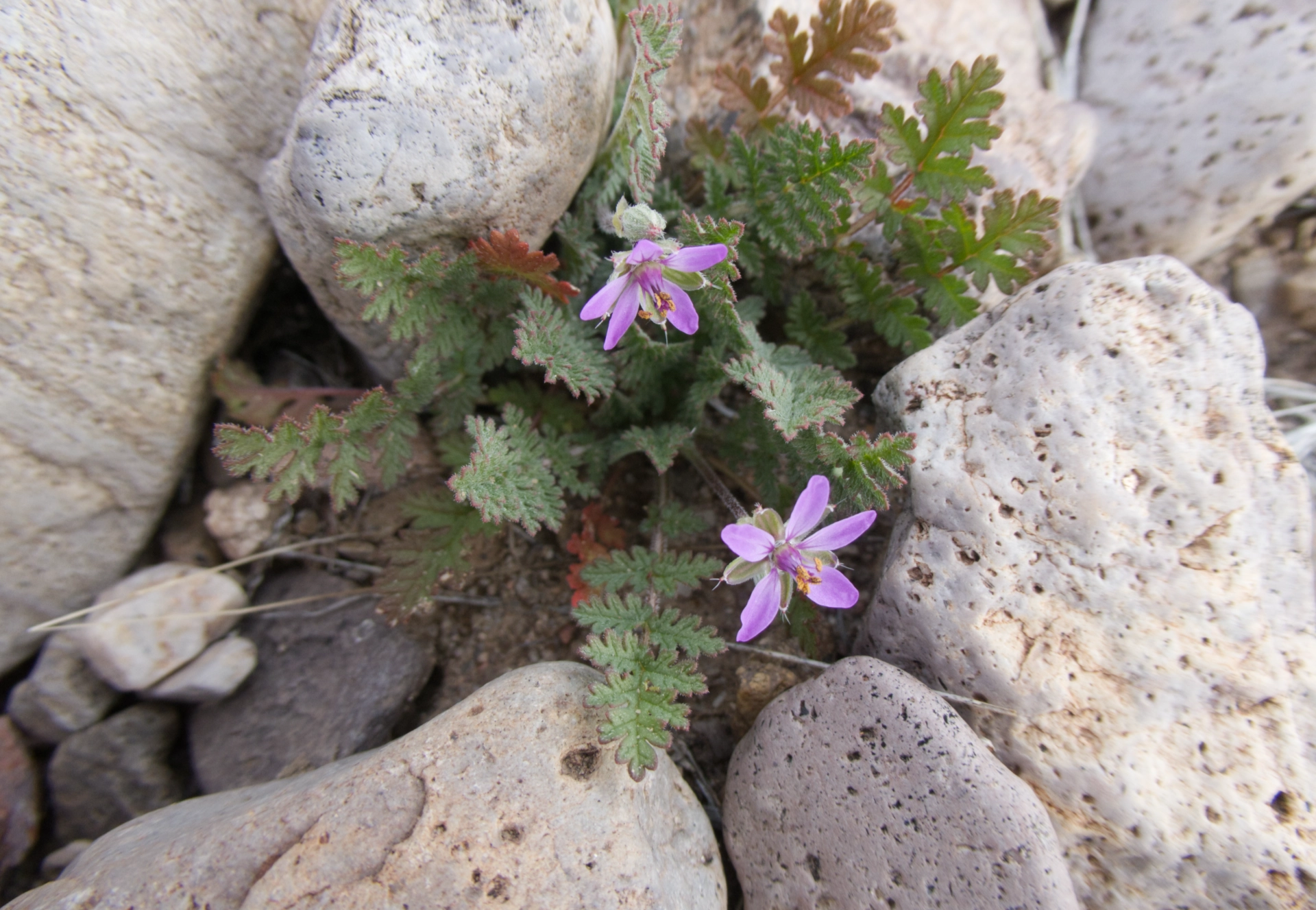
Other early wildflowers included blue dicks and redstem stork's bills.
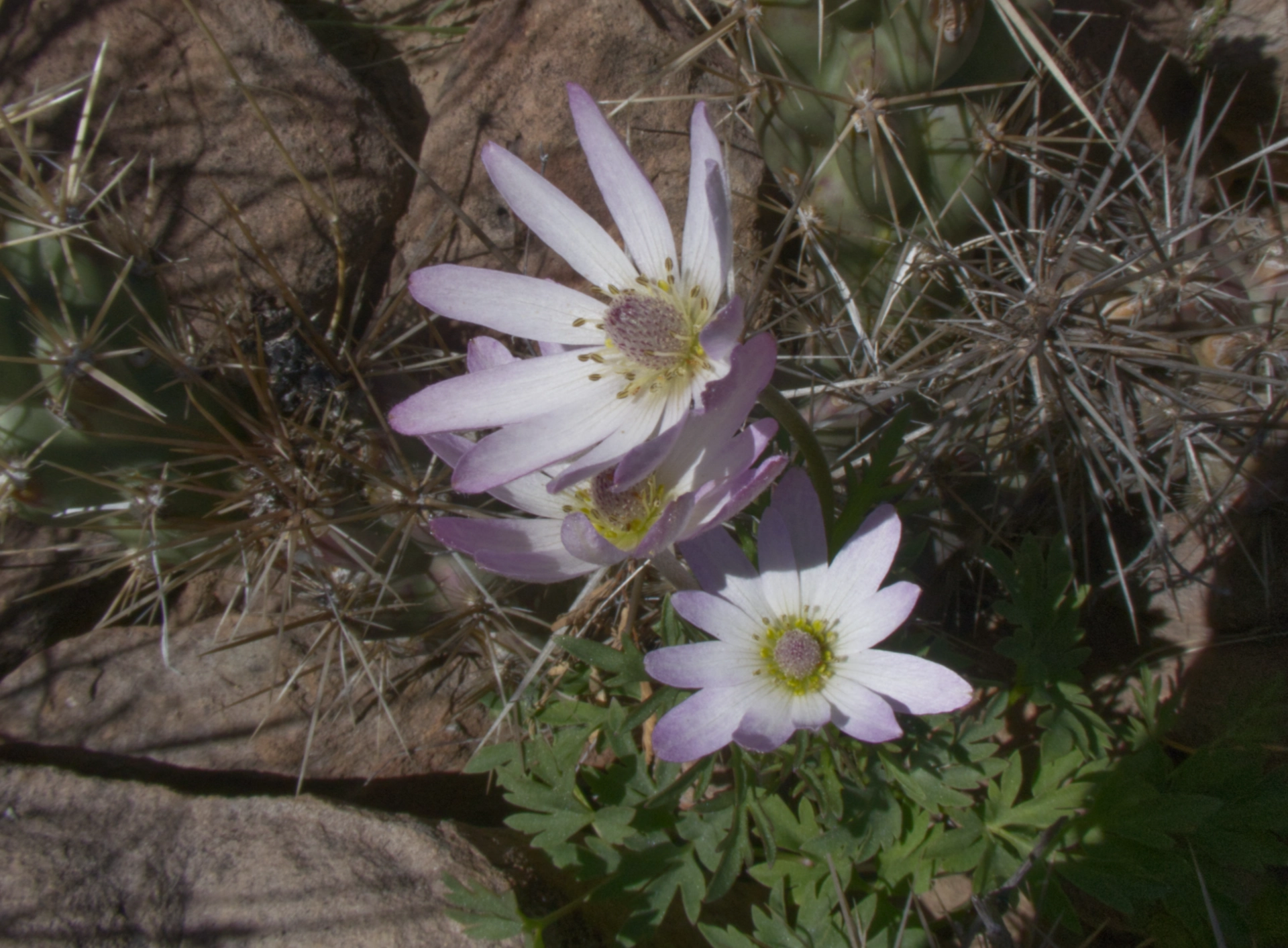
Tuber anemone.
The BLM describes this route as "a fishing access trail down to the river". All our attempts to reach the river ended in sheer drop-offs, but for one steep and stony path that we spotted on our way back to the camper.
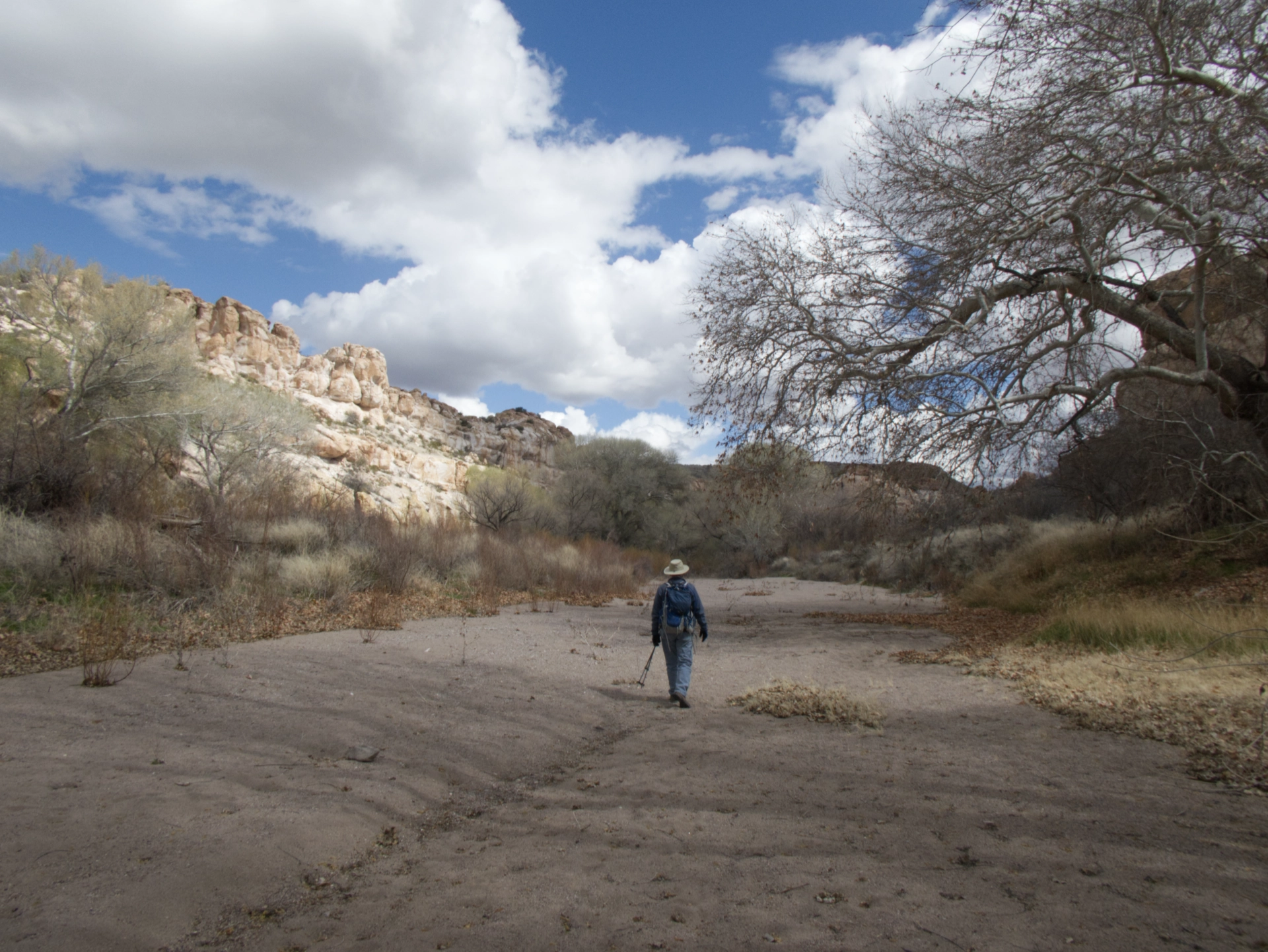
Of course the sandy beach we had admired from above was a cutoff meander, and the riverbank was choked with thick brush and driftwood.
The trail eventually rolls away into the mouth of a side canyon.
Rather than go back the way we came, we headed up the side canyon.
Then peeled off at another side canyon to amble cross-country back to the camper.
It was still early, so we decided to head around to explore a road on the north shore between Lower Gila Box WSA and Blue Creek WSA. Near the junction of Fuller Road and US 70, we flushed a herd of pronghorn antelope.
By then it was spitting rain and snow. The road went to Hell just as it passed through some gnarly cliffs of red rhyolite and we caught a glimpse of the rain-shrouded south shore below us. I ran ahead to scout the route, but found it blocked by a rock fall. We turned back and camped on a side road near Cañador Peak. We had a dramatic sunset view of Steeple Rock.
Old maps showed this road leading to the Gila, so down we went the next morning.
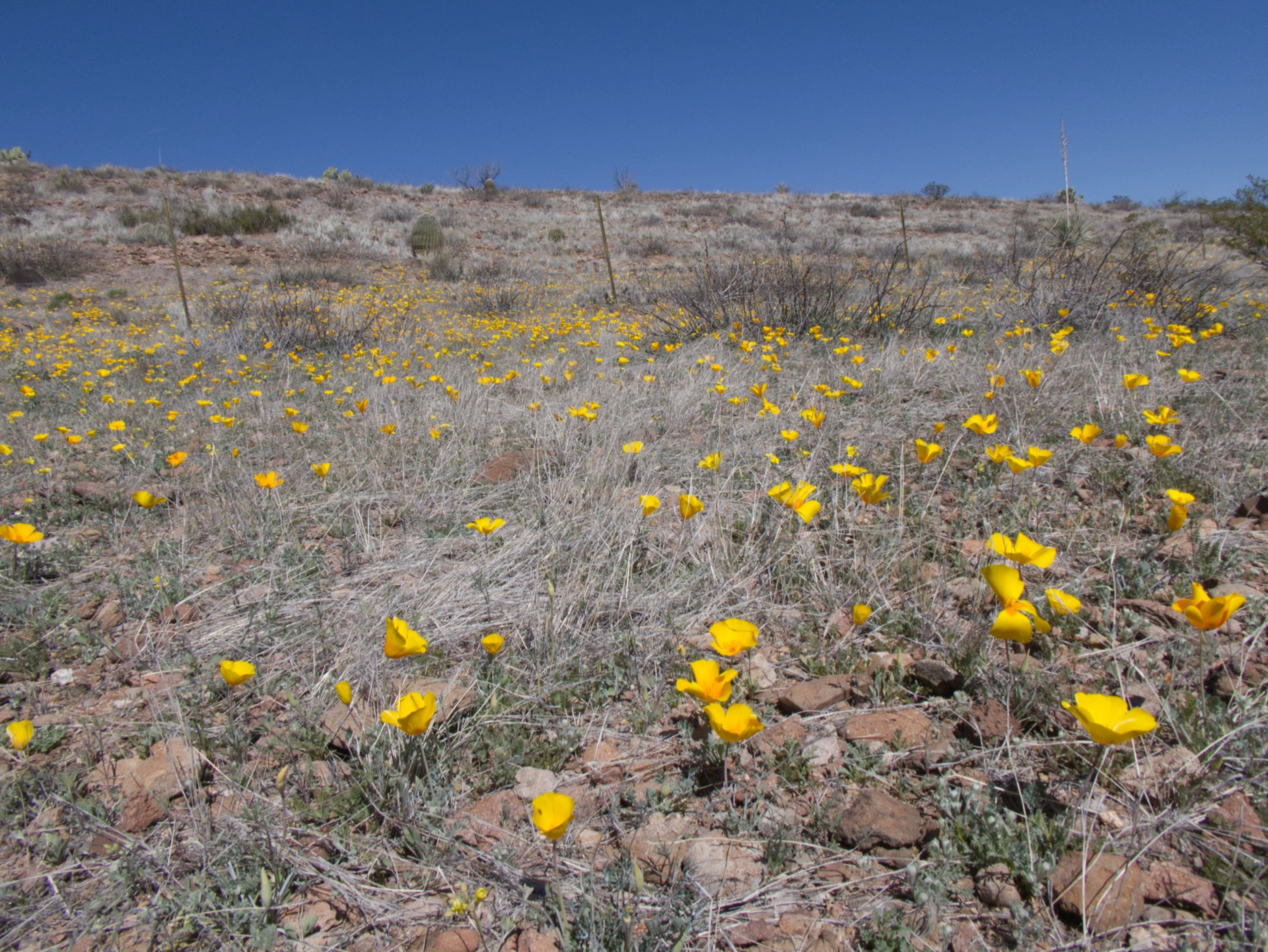
We could practically hear the poppies popping! Is this the start of a super bloom?
As usual, the faint track dead-ended at a cliff. We continued cross-country along the bench above the Gila to check out some petroglyphs.
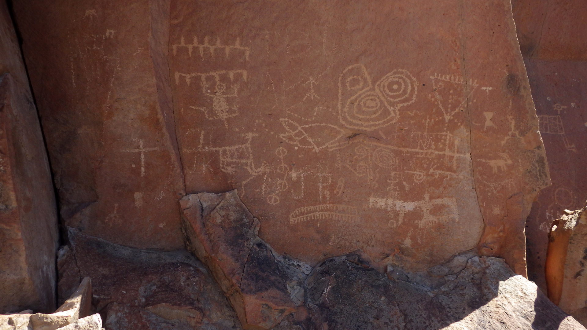
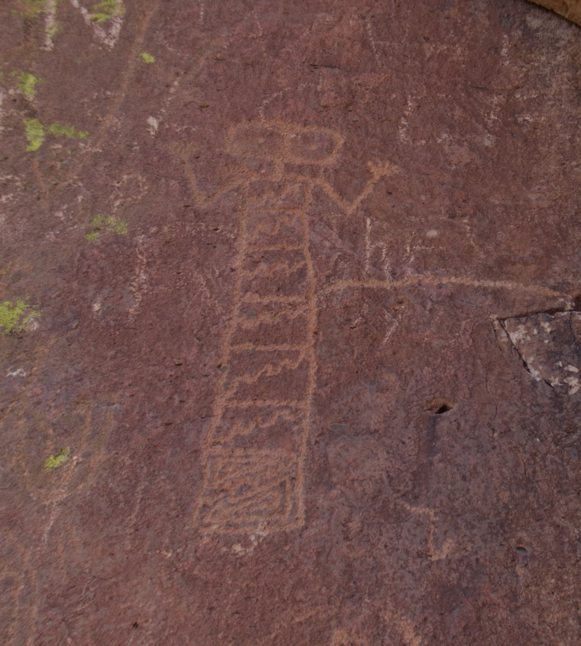
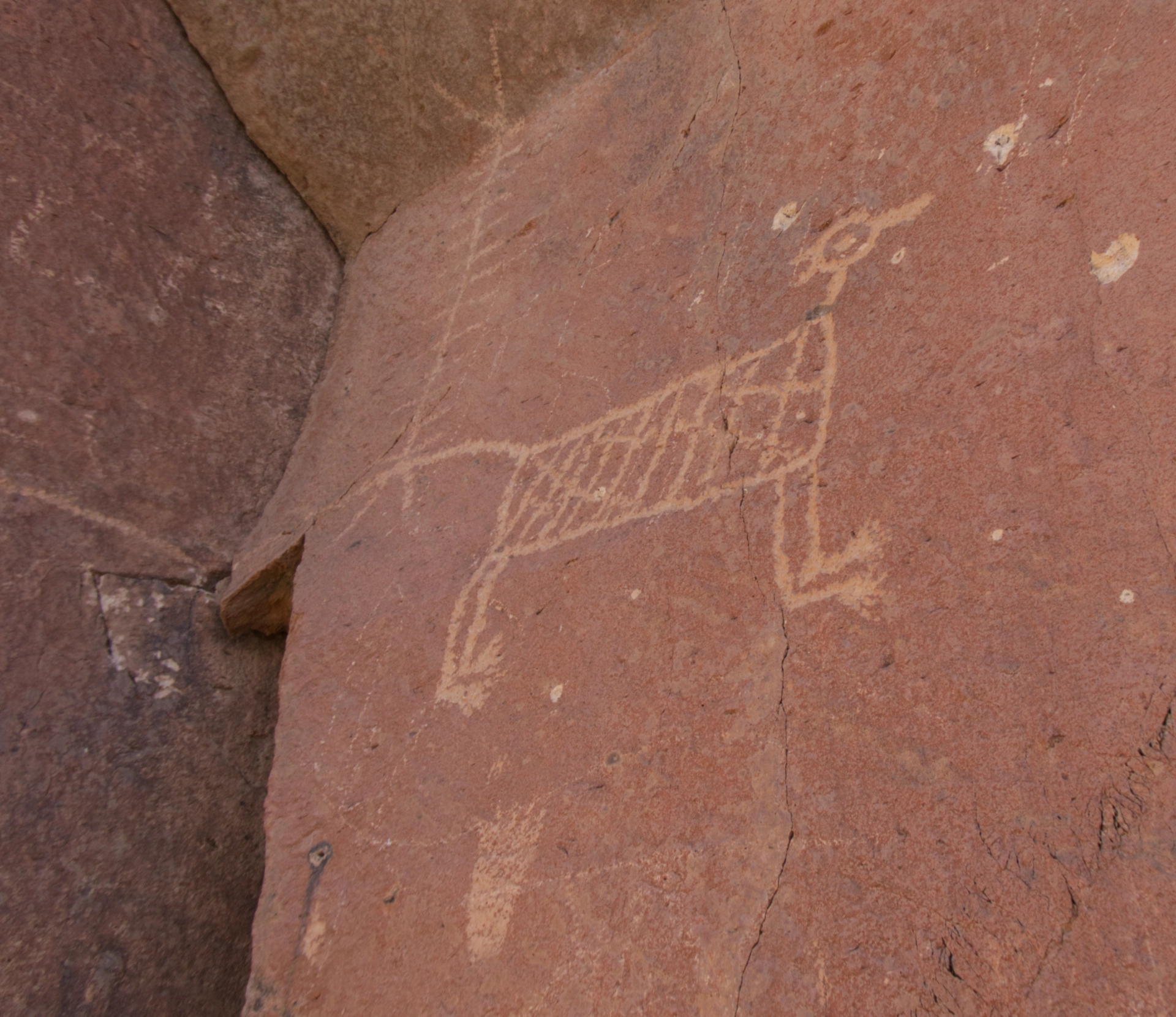
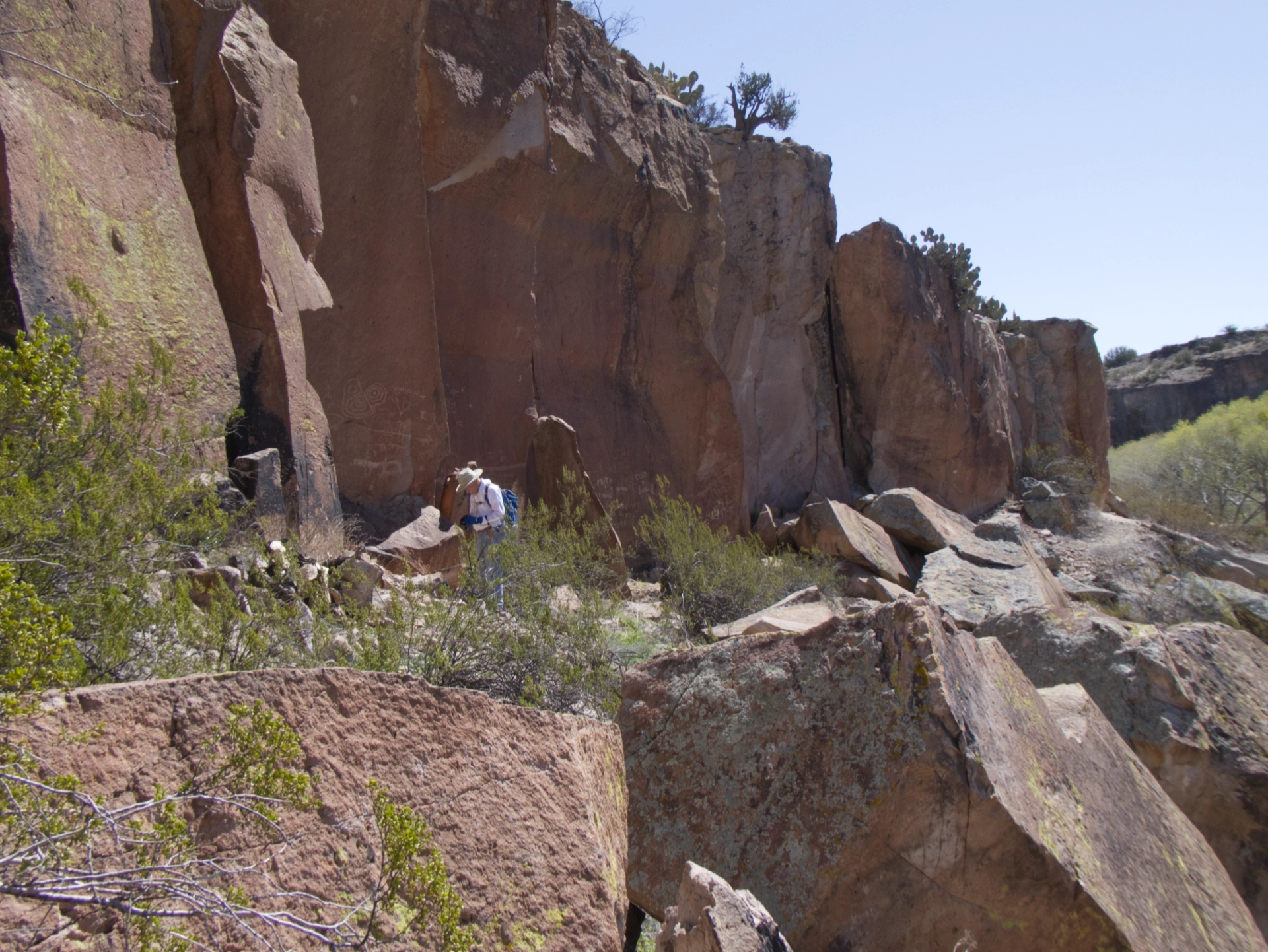
Cliff notes. It was a long and surprisingly warm walk back to the camper. Now I know why most trails run along the headland, dropping in and out of steep canyons rather than heading overland through a mine field of basalt bombs and club cholla cactus.
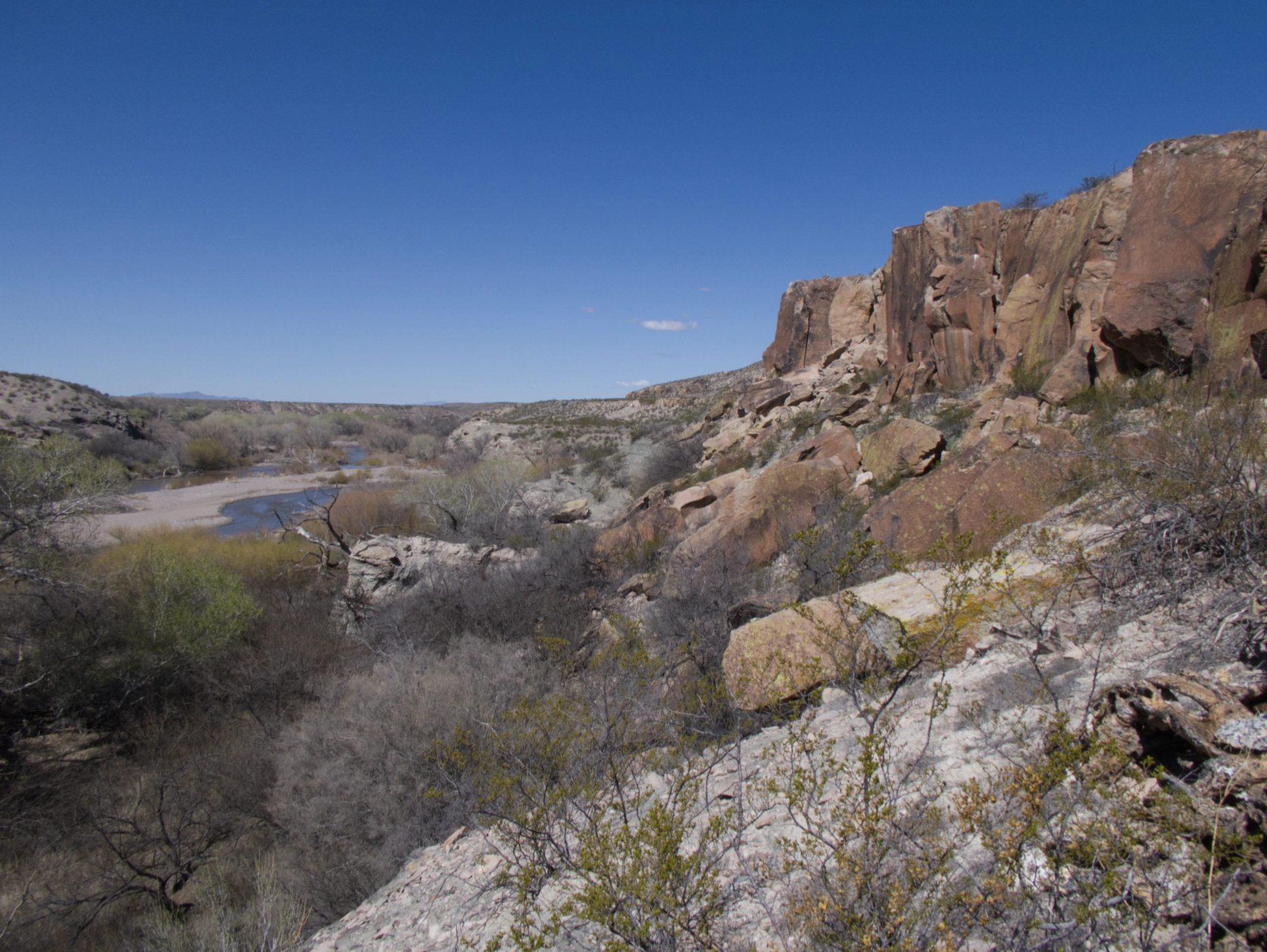
Looking west toward the end of the box. What a great place! In four days, we'd seen only three other people!
