Aeroplane Mesa
September 27-30, 2025
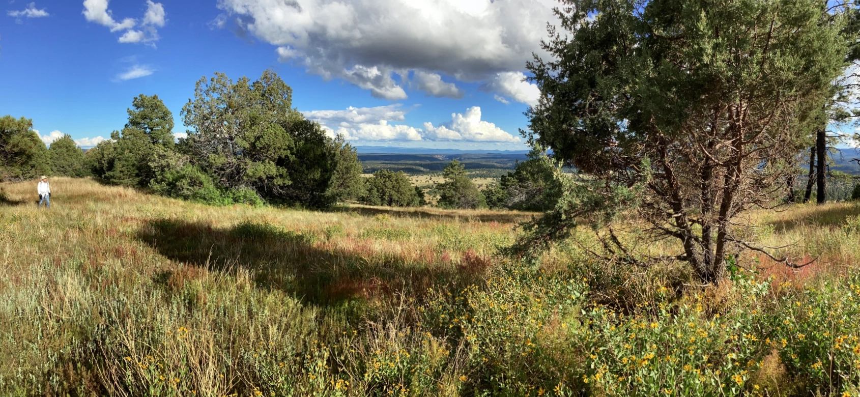
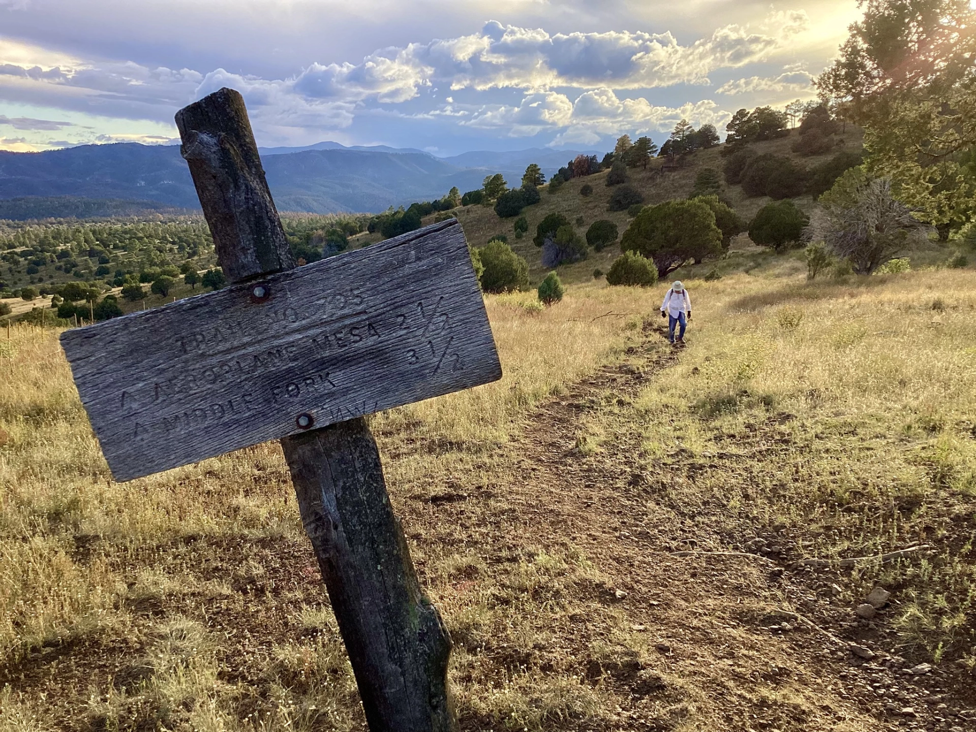
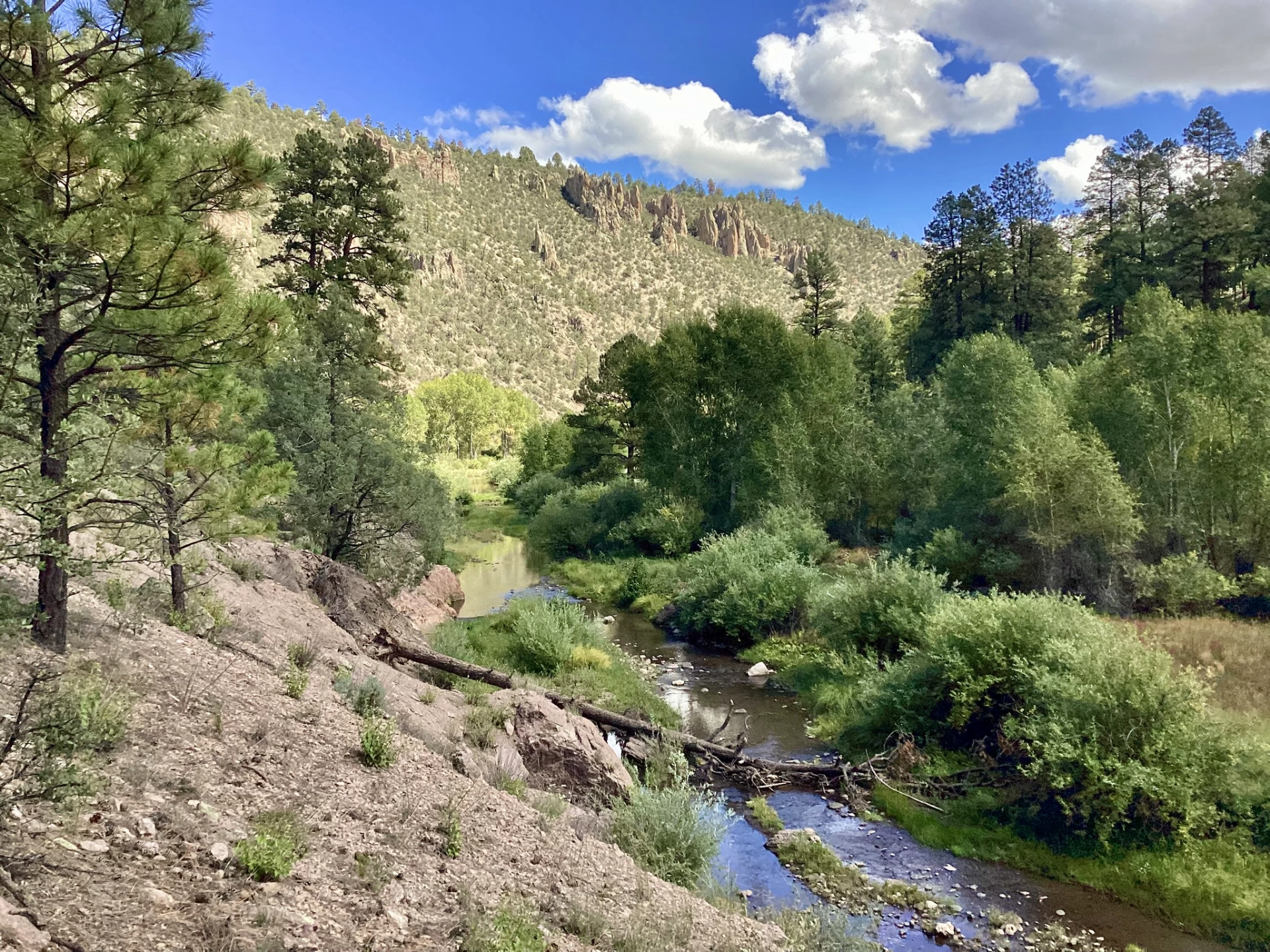
From a high bowl at roughly 8000', Aeroplane Mesa slopes gently south for 3½ miles toward a cliff above the Middle Fork Gila River. From there, it drops sharply 600 feet in half a mile via a series of switchbacks. I've wanted to hike this trail for years! When Gila Trails posted a work trip in the area, I eagerly signed on.

It was a long drive, since the bridge is still under construction on FR 141. We clocked over 160 miles from Silver City, via a very scenic route that passes through an arm of the Plains of San Agustin.
We camped at Aeroplane Mesa Campground the first night. Dennis and I hiked up Loco Mountain (8329') at sunset for a spot of internet. From the summit, there was a jaw-dropping view south along the deep gash cut by the Middle Fork Gila River.
Sunset view from the saddle above Aeroplane Mesa Campground.

We were treated to spectacular thunderstorms overnight — a gift from Tropical Storm Imelda. We awoke to pea soup fog blanketing the lowlands. As we rounded the saddle above the campground, there was a scene straight out of Vermont Life, with wispy clouds hovering above colorful foliage. But of course the rusty hues were not changing leaves, but the work of bark beetles. Steve takes in the view from the saddle.
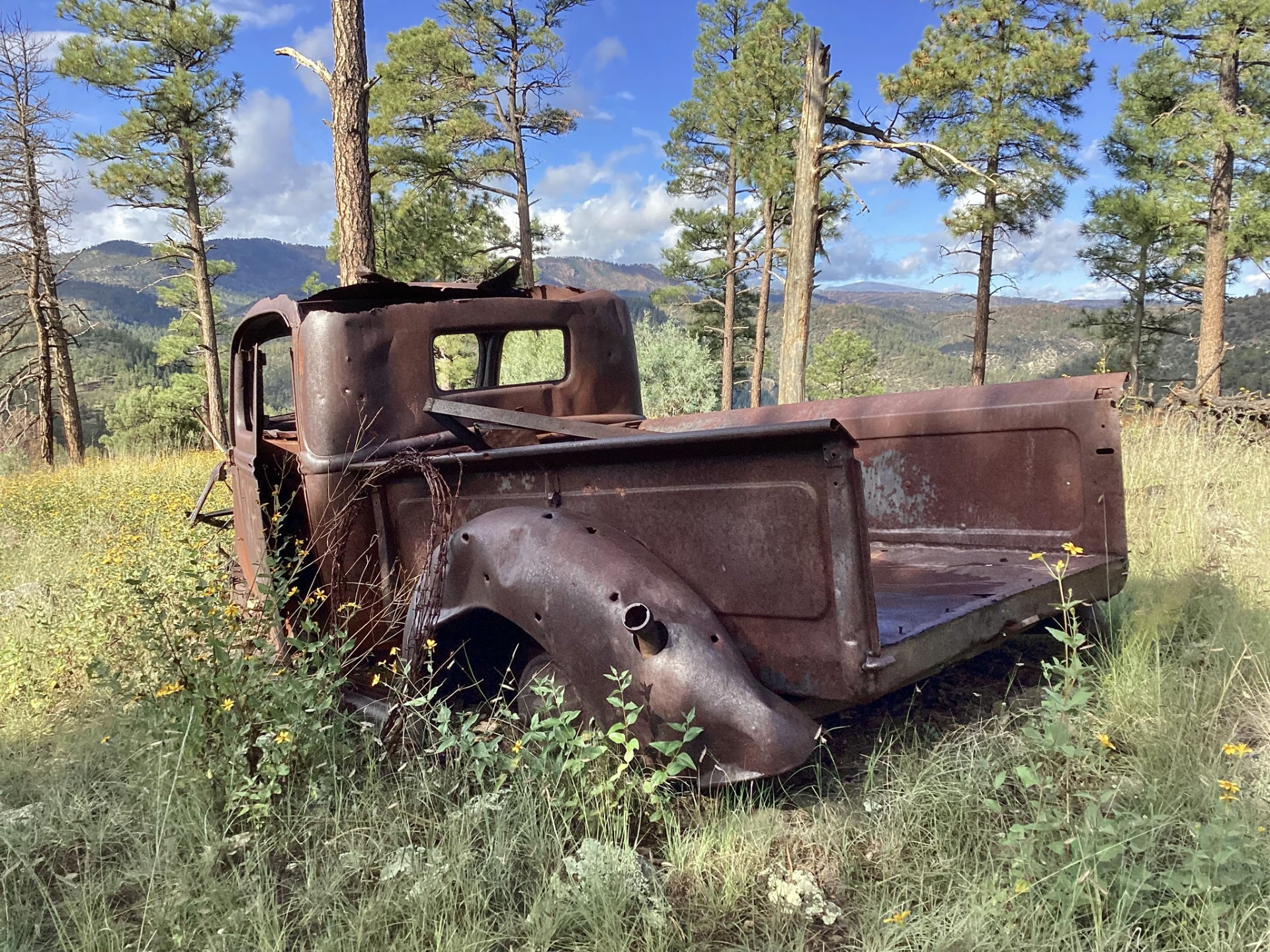
A two-rut track wanders across the mesa, through an endless expanse of blue grama and wild cosmos, broken up by a smattering of piñons and junipers. At the lip of the mesa, with a view to die for, sits a rusty pickup truck. How did it get here? Did someone drive to the edge of the mesa and get stuck, or did they roll it down the hill just to get rid of it?
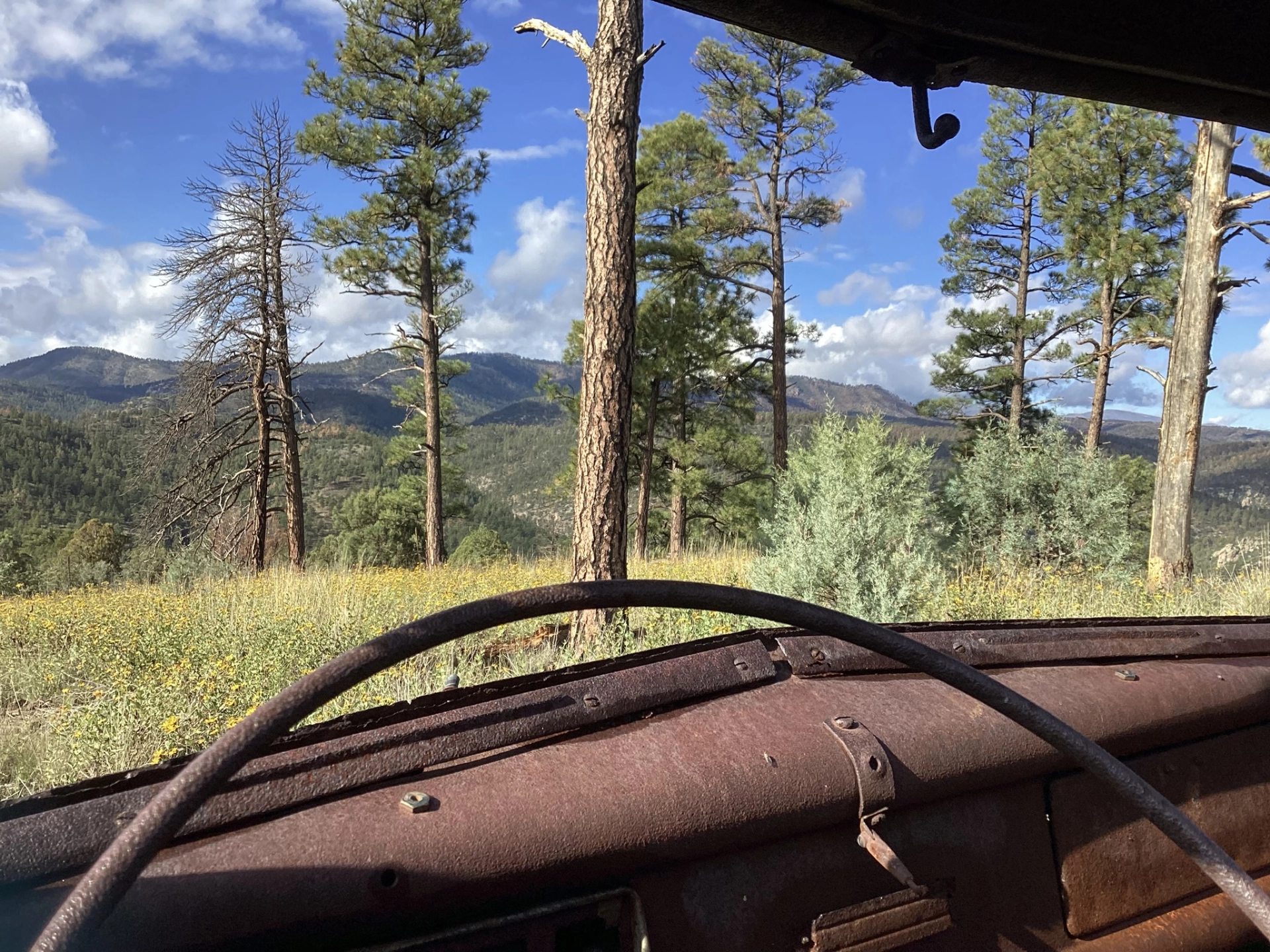
I prefer to think it was someone's beloved vehicle, and they gave it a final resting place with a fantastic view!

The Gila Trails crew set up camp in a grassy meadow at the mouth of Swinging Cross Canyon, under a canopy of narrowleaf cottonwoods and ponderosa pines.
For the next day and a half, I worked lopping limbs from pondos, piñons, willows and mountain mahogany, while Dennis stayed in camp, enjoying an excellent radio horizon.

We had non-stop views as we worked the switchbacks, and finished in time to do some additional brushing on the CDT north of camp. Unlike the steep and rugged canyon farther downstream, here the Middle Fork wanders through a wide grassy meadow. A few late blooming summer wildflowers graced the trail, including leatherleaf goldeneye, scarlet cinquefoil and Mexican basketflowers.

Aeroplane Mesa is a popular trail for both horses and hikers, and erosion has taken its toll, leaving a braided trail with tons of rock ready to roll underfoot on the steep descent. Our mission was to brush the trail, establish a preferred route, and improve the tread by raking the surface and building drains to direct runoff away from the trail. Richard and Marc clearing a downed tree from the trail.
The Gila Backcountry Horsemen support the work of the Gila Trails crew by packing in tools, gear and most of our meals.
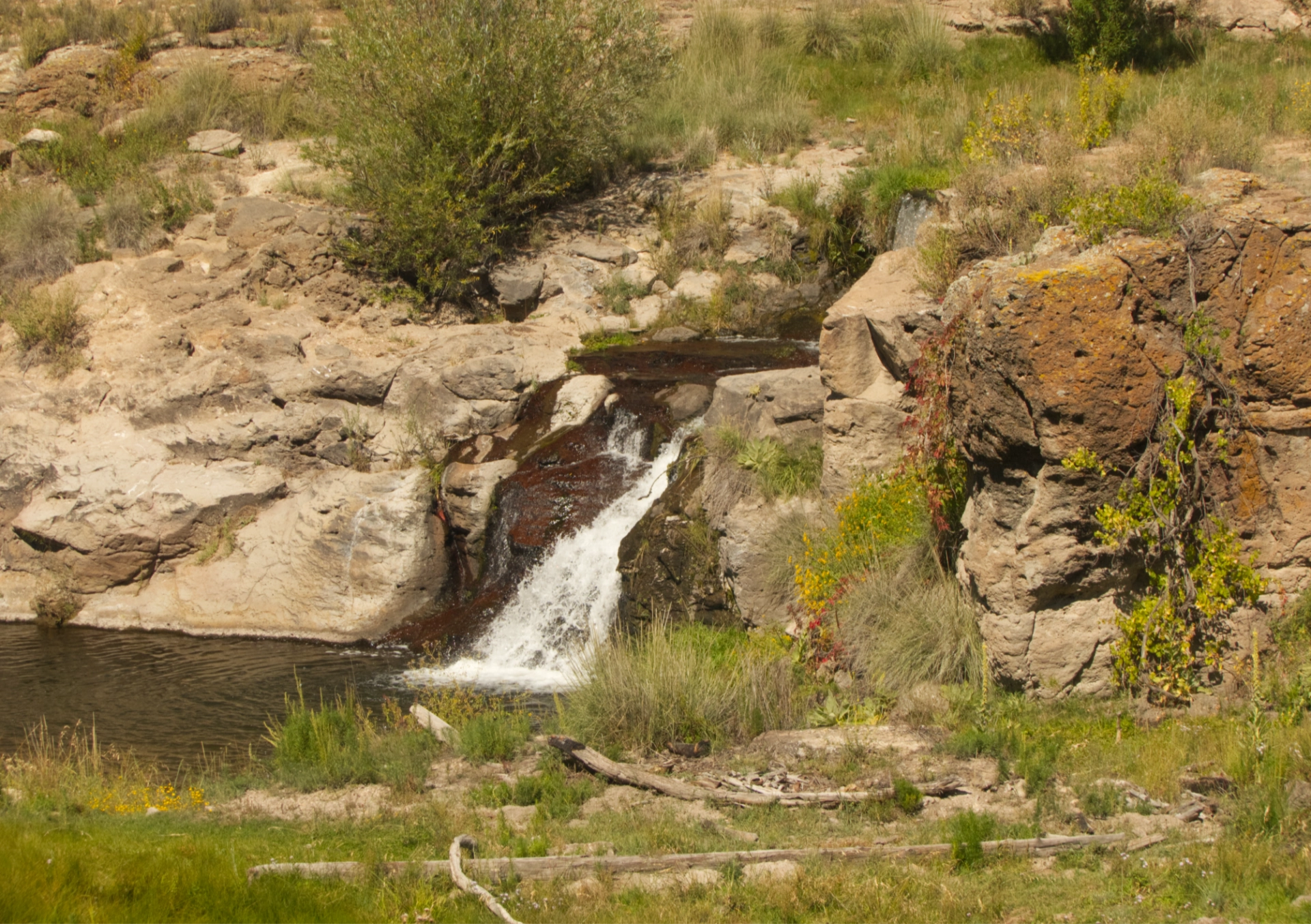
Small waterfall near Wall Lake. Dennis and I decided to shave about 60 miles off the drive home by continuing east on Snow Lake Road to NM59 and then south on North Star Mesa Road. We encountered four Great Divide bikers on North Star Mesa, but did not see another vehicle coming or going until we reached NM 35. The scenery was wonderfully varied, and it was a fantastic reminder of just how vast and wild the Gila Wilderness really is.
The Flora

Western Wallflower.

Indian Paintbrush.

Prairie Coneflower.
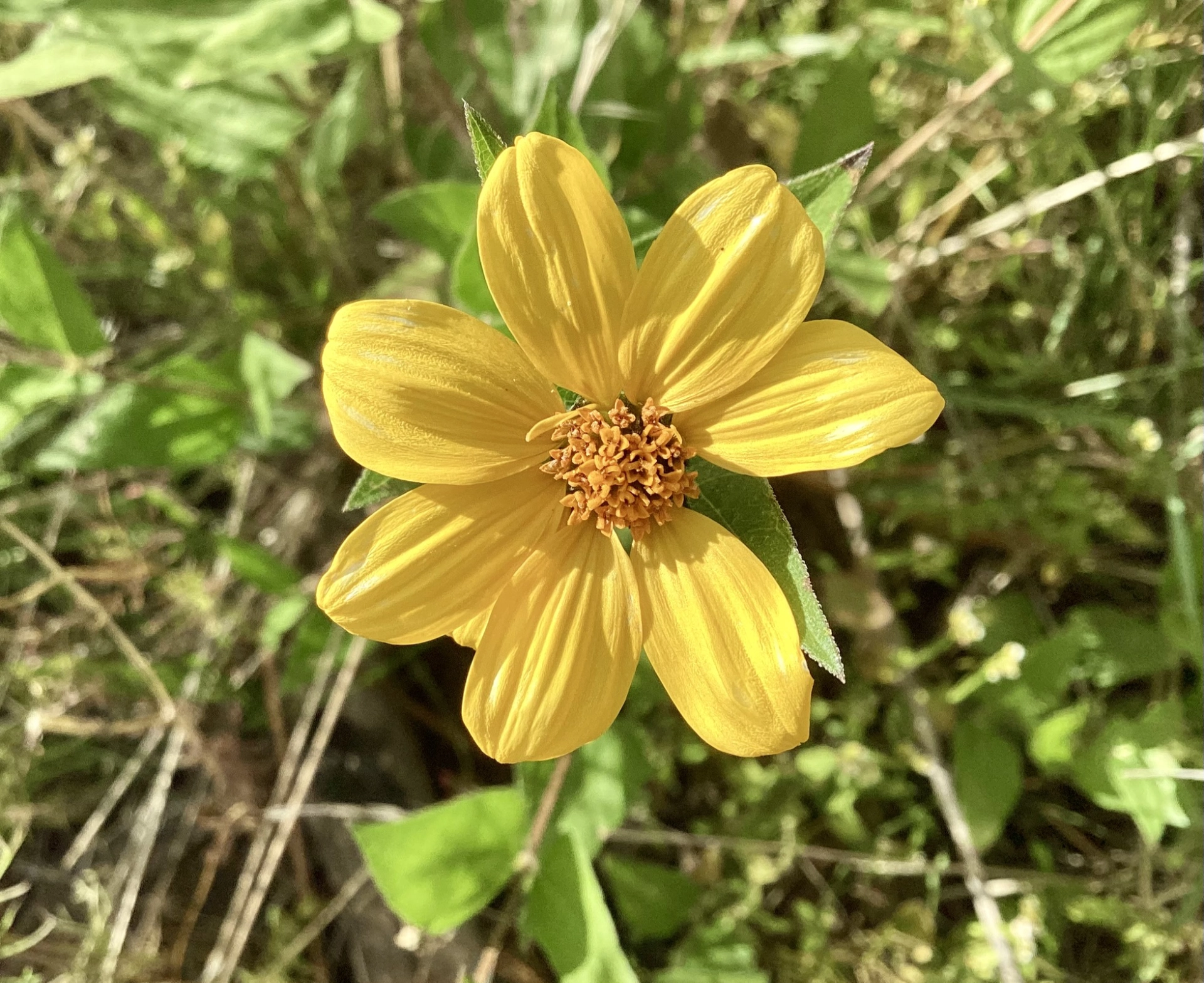
Leatherleaf Goldeneye.
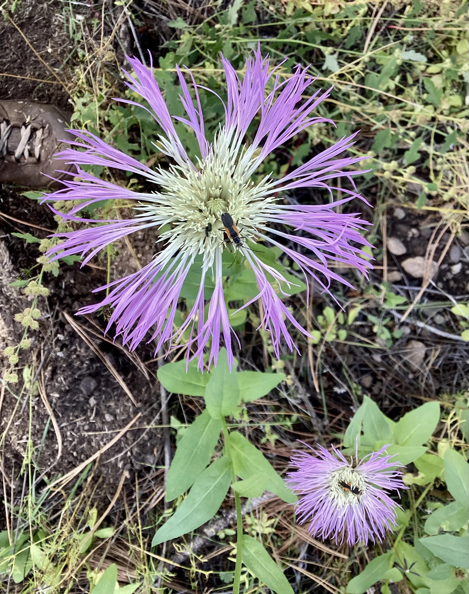
Mexican Basketflower.
