After the Trout Fire
April, 2026
The Trout Fire was discovered June 12, 2025. By the end of the month, it had torched more than 47,000 acres, driven by hot, dry weather. The locus of the fire was an area in the heart of the Gila Nation Forest, about 12 miles north of Silver City. Dominated by the Piños Altos Range, with peaks reaching nearly 9000 feet, this area is home to some of our most popular and accessible hiking trails. In the aftermatch of the fire, we mourned the loss of many of our favorite trails, and searched far and wide for alternatives. Now that a full year has passed, we've been gingerly exploring some of our old haunts.

Soil Burn Severity (SBS) map for the Trout Fire. The Forest Service Burned Area Emergency Response (BAER) specialists estimated that approximately 9,996 acres (20%) of the fire was unburned/very low, approximately 28,860 acres (58%) have low soil burn severity, approximately 8,647 acres (17%) sustained a moderate SBS, and approximately 2,069 acres (4%) sustained a high SBS.
Little Cherry Creek
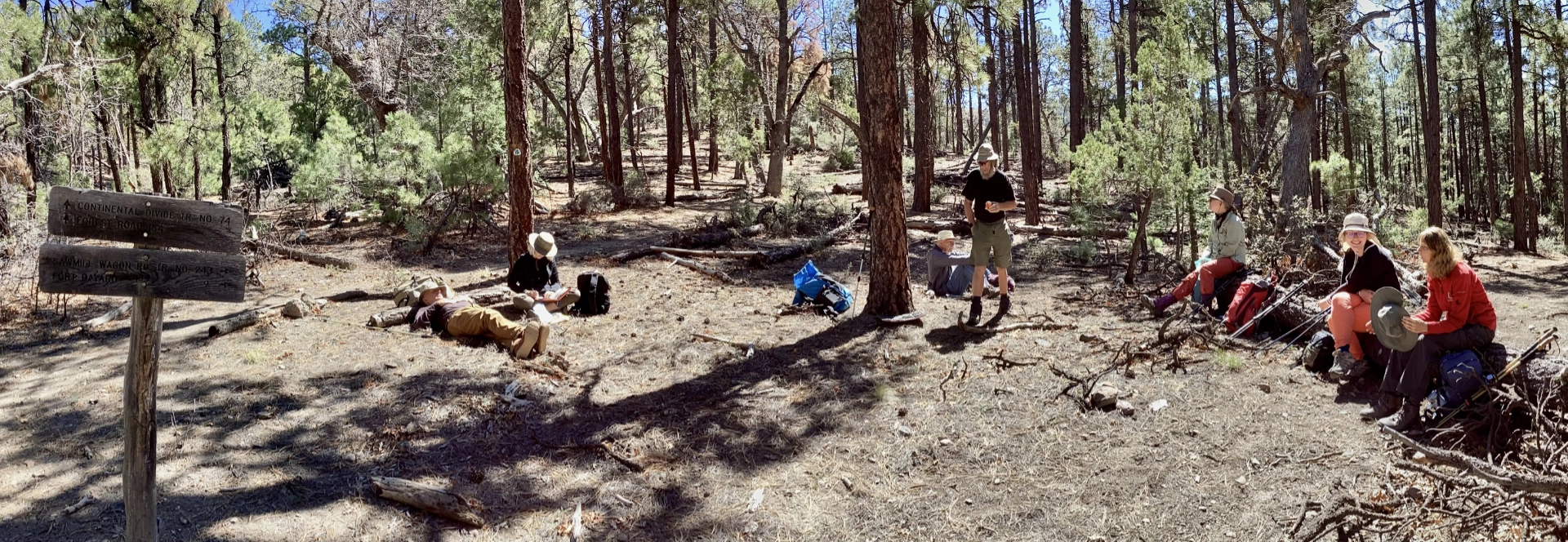
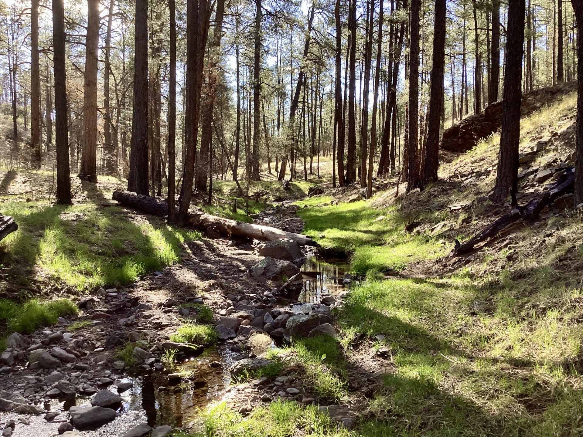
On April 2, we hiked to the saddle below Black Peak, and found that the forest looked much better than we expected.
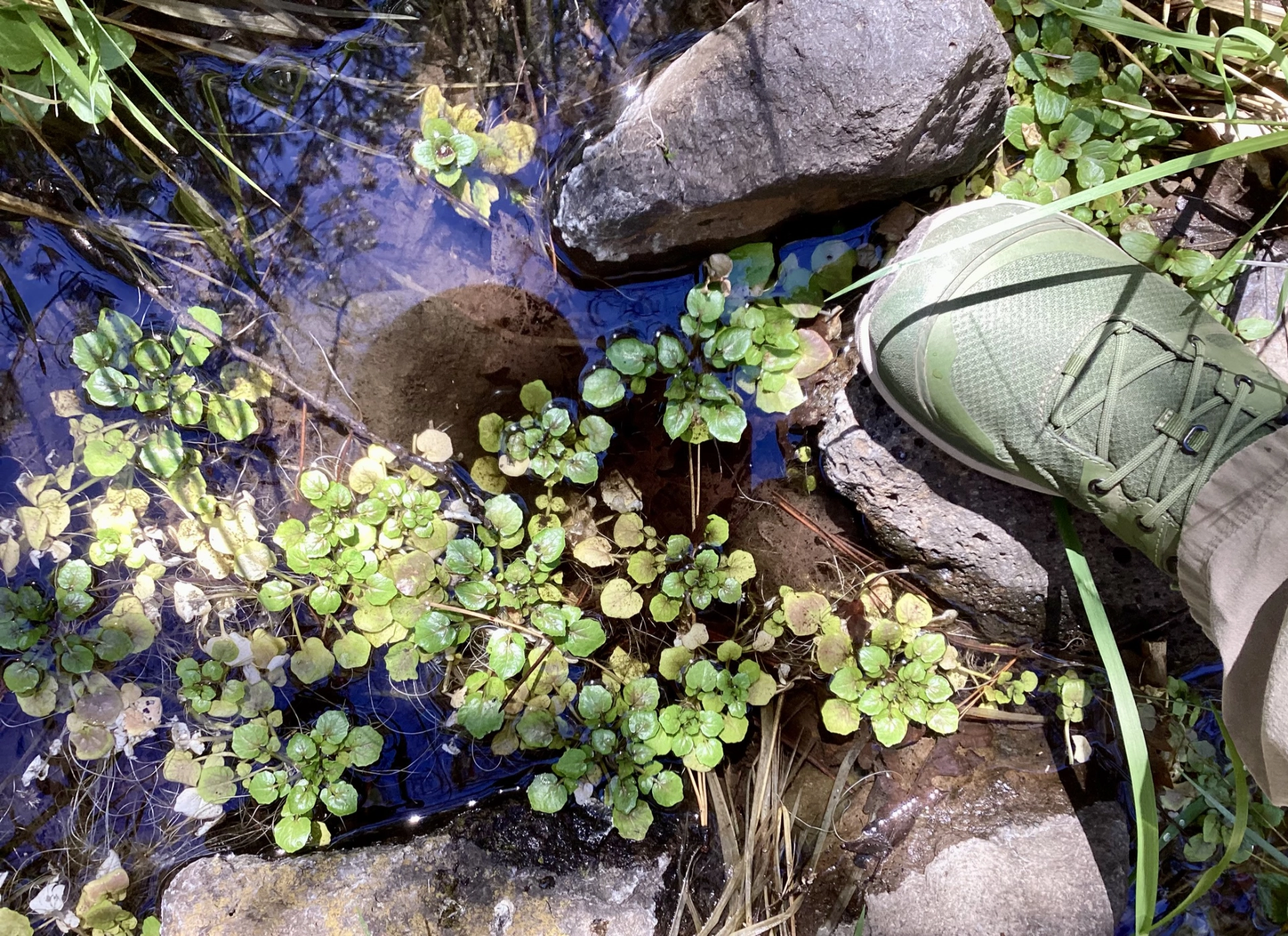
The trail we cleared two years ago is still in great shape, and the stream was flowing nicely.
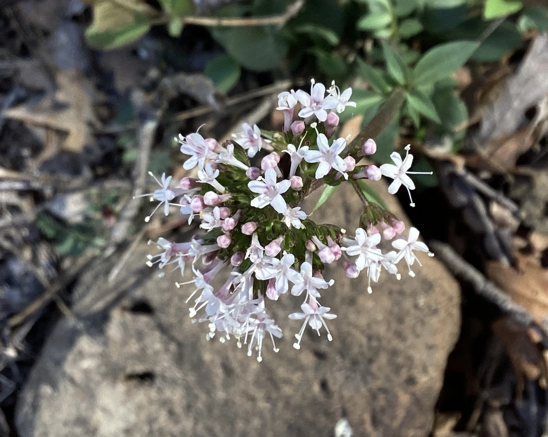
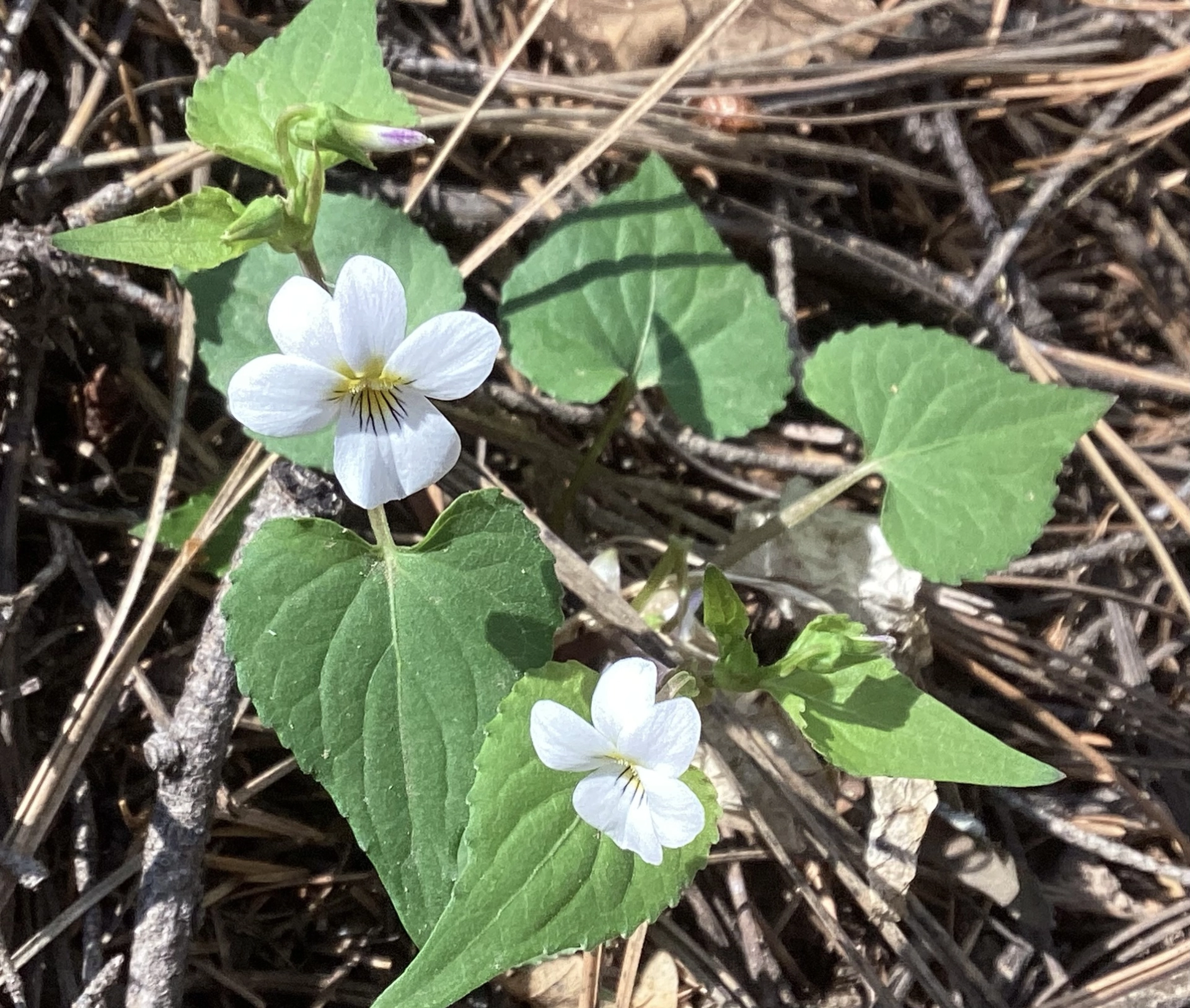
Arizona Valerian (left) and Canada Violet (right)
Meadow Creek
After hiking Little Cherry Creek and finding it weathered the Trout Fire much better than we expected, a week later we mustered the courage to return to Meadow Creek.
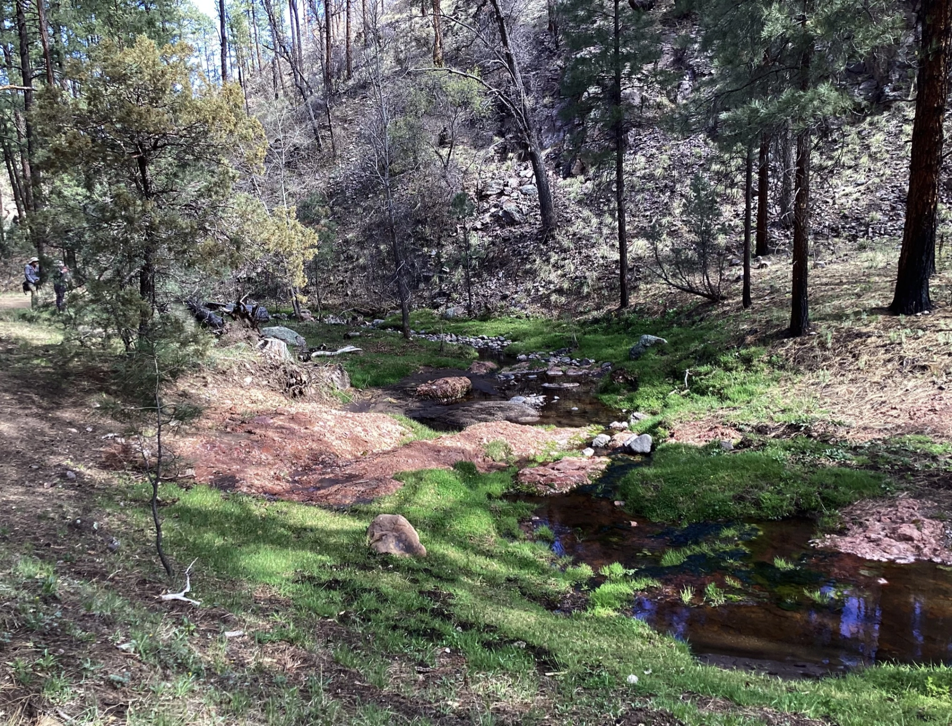
The creek was flowing and the forest looked remarkably good. There were lots of neon green grasses, spring foliage and even a few wildflowers!
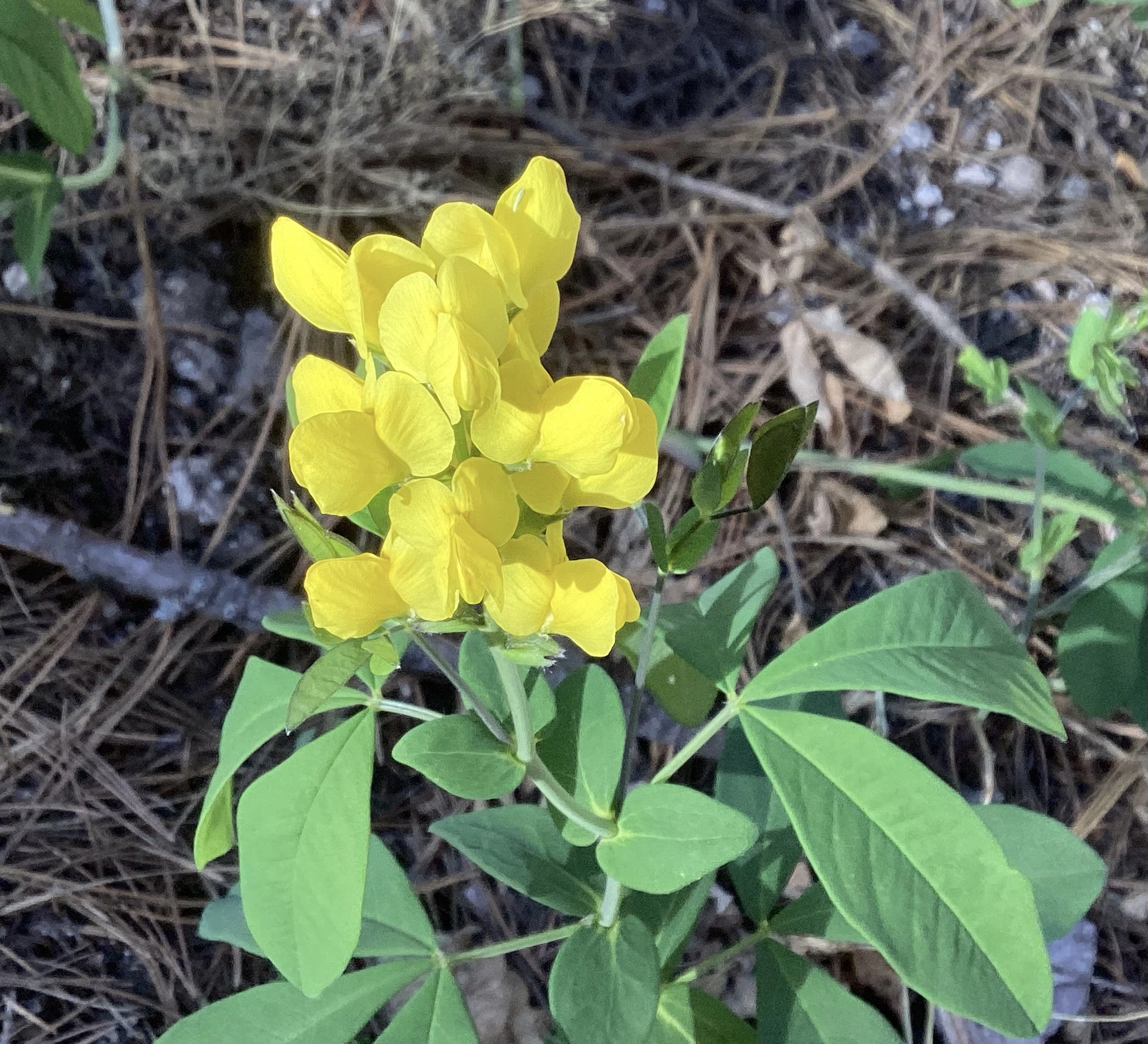
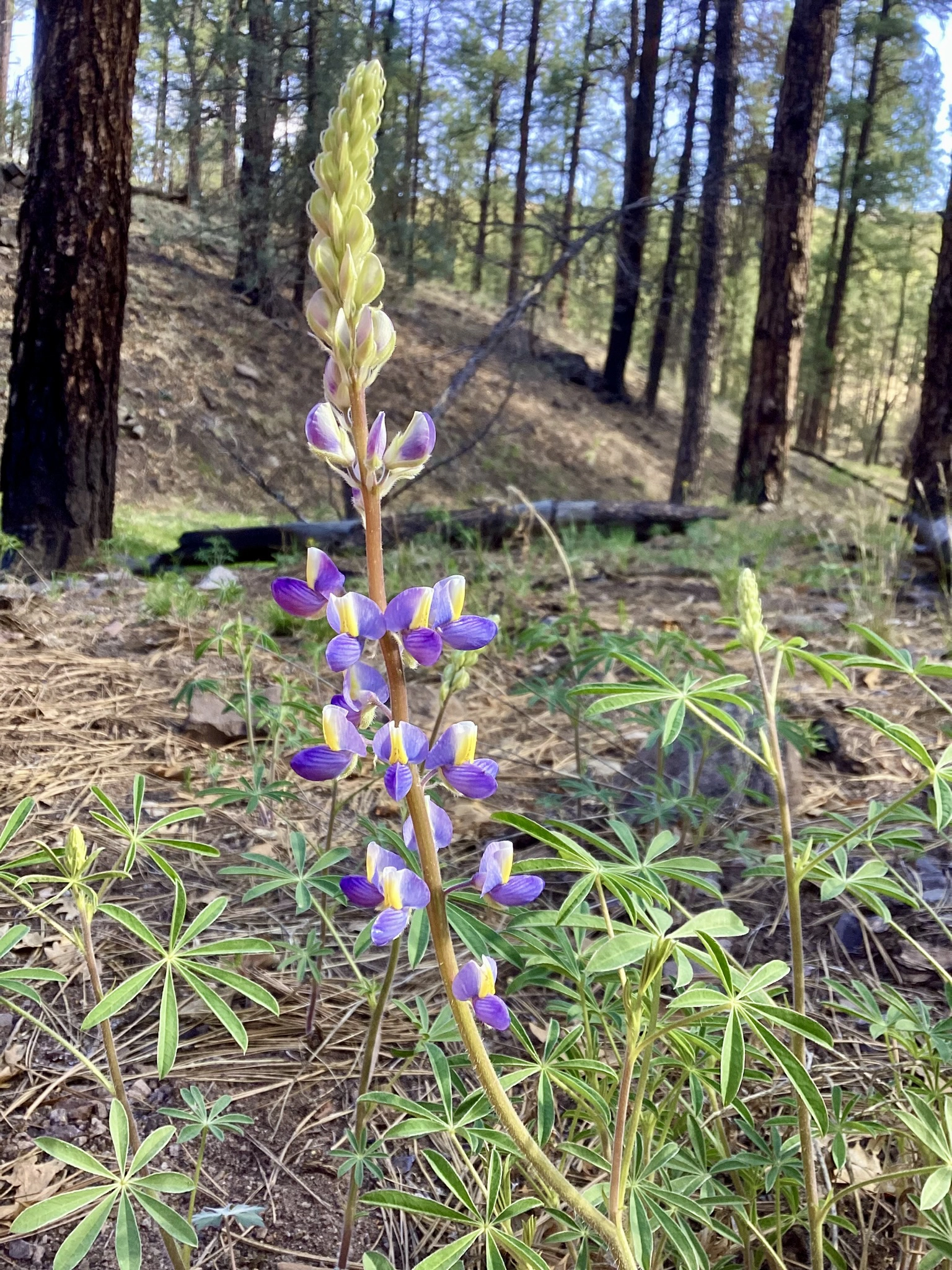
Mountain Goldenbean (left) and New Mexico Lupine (right)
The fire burned very close to the creek, but most trees were only lightly charred, or untouched.
Allie Canyon
Since both Meadow Creek and Little Cherry Creek survived better than we expected, it was time to revisit Allie Canyon.
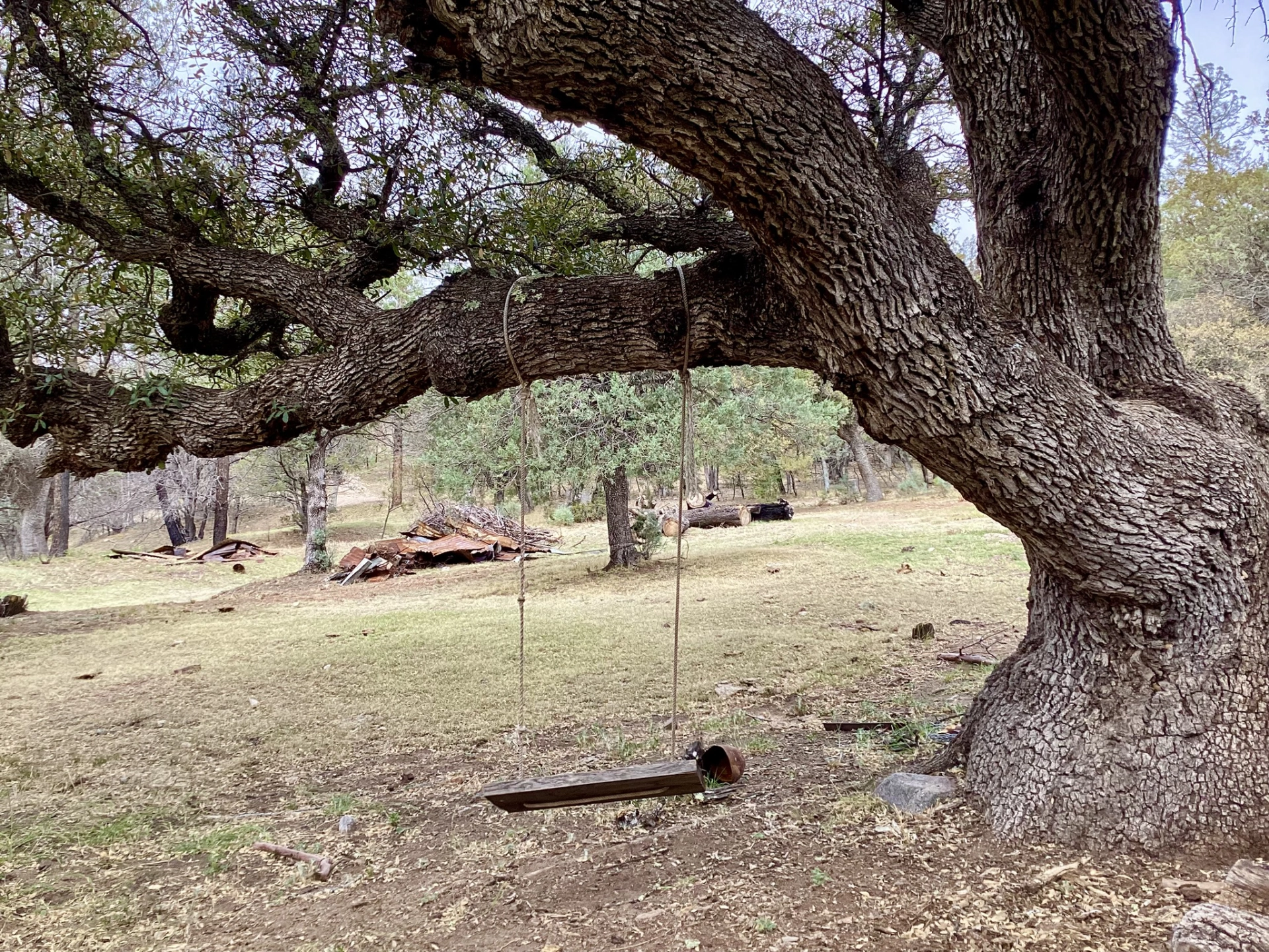
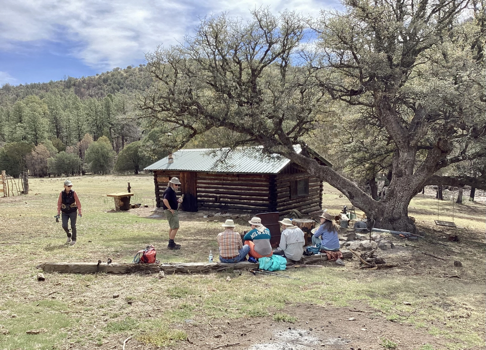
Once again, the damage wasn't as bad as expected. The creek bed is badly eroded from post-fire flooding, but most of the trees survived. And Crumbley Cabin is intact, although the logs are badly singed, and both the shed and the old corral are gone.
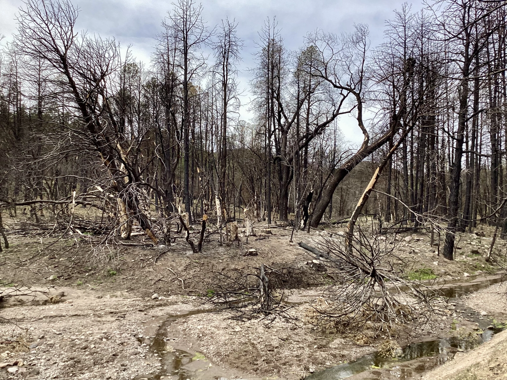
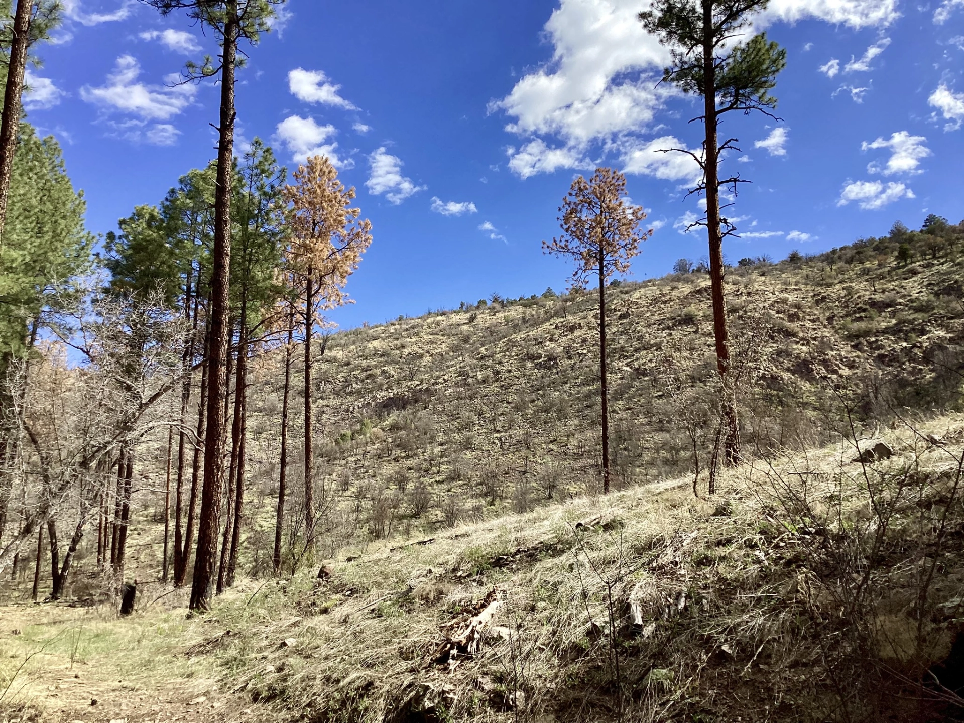
Farther up the canyon, it's a different story. The hillsides are blackened matchsticks. Profound gratitude to our firefighters for how much they managed to preserve.
