Knight Peak
December 18, 2025

Knight Peak is the tallest (6602') peak in a jagged ridge west of the Burro Mountains, where the high country falls away toward Lordsburg Mesa. The extreme tilt of the folded rhyolite makes for very interesting topography. Quite by accident, our third approach to Knight Peak was just one day later than last year's hike. On our two previous hikes, we came in from the south. This time, Miguel guided us to a different approach from the north, near the old Malone Mines. Dennis, Sue and Miguel, with my shadow in the foreground.
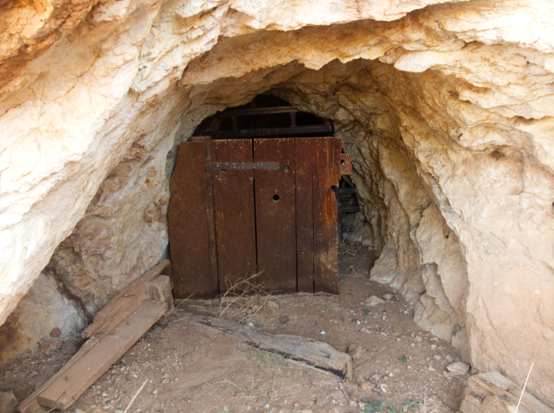
There are numerous tailings piles and old mine shafts in the area. All are part of the Malone-Knight Peak Mining District. From thediggings.com:
Discovered in 1884 by John B. Malone, the mines have a rich history. Currently, the Malone Mines are closed with no known plans for re-opening. However, from 1885 to 1956, they were in operation. Despite being classified as small-scale, the production size was notable. Both surface and underground workings were involved in the mining operations at the Malone Mines, with a single known shaft present. The maximum subsurface depth reaches 30 meters (100 feet). The ore extracted from these mines predominantly consists of galena, sphalerite, and chalcopyrite, while the waste material mainly comprises of pyrite and quartz. The ore forms in pod-like structures and shoots, with a thickness averaging 1.52 meters (4.99 feet). Geologically, this area is characterized by rhyolite rock, ranging from the Neoproterozoic era (1.00 to 0.54 billion years ago) to the Pliocene epoch (5.33 to 2.58 million years ago). The surrounding terrain is defined by the Mexican Highland of the Intermontane Plateaus, which contributes to the distinctive geomorphology of the area.

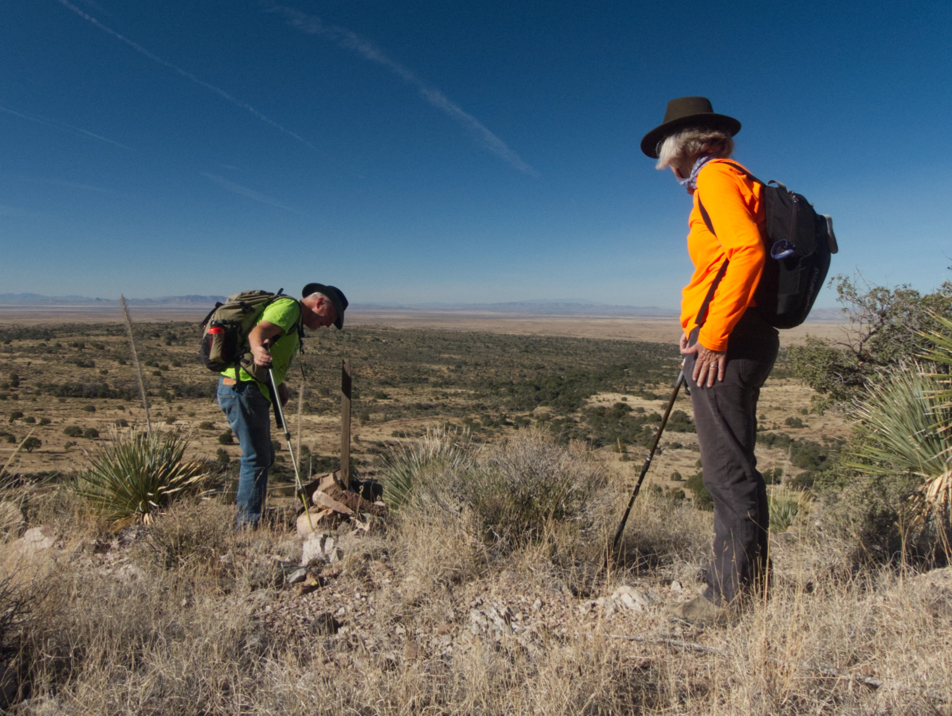
Dennis, Alan, Sue and Miguel examining one of the shafts.
Although "The Diggings" says the mines are closed with no known plans for reopening, we spotted numerous claim markers of recent vintage. Check out this page on the Santa Fe Gold Corporation website:
A U.S.-based mining and exploration enterprise and owns the following mining assets: The Knight's Peak region of Grant County, New Mexico comprising the Malone Mines, Patanka, Hillcrest, Barranca and Principal Mines, altogether incorporating some twenty mine sites and all located at Knight's Peak, together with an expanded area surrounding the Malone Mines in the southern region of Burro Mountains, New Mexico.
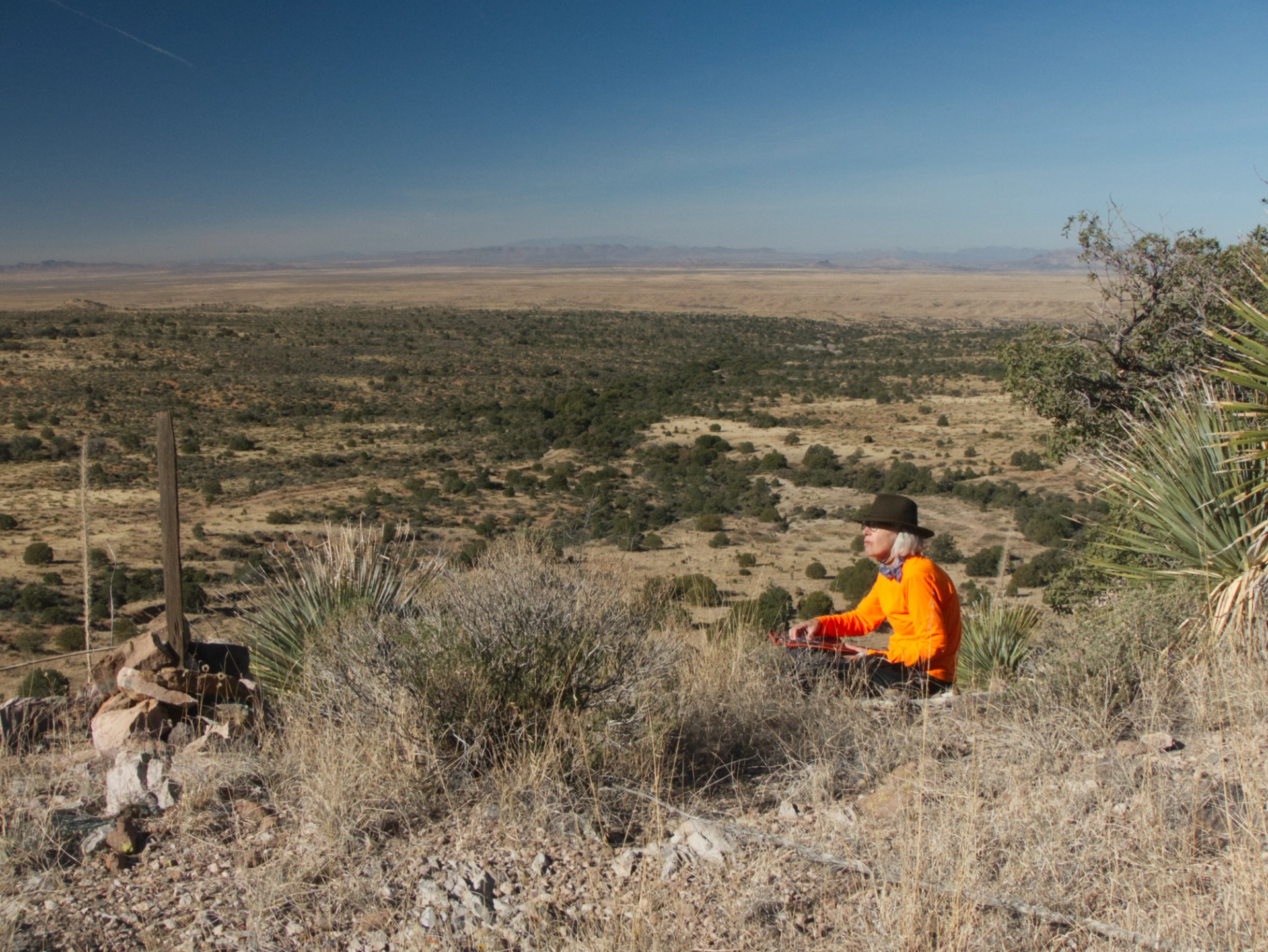
The artist at work. Sue sketches quickly in the field and takes photos that will help her complete the drawings at home.
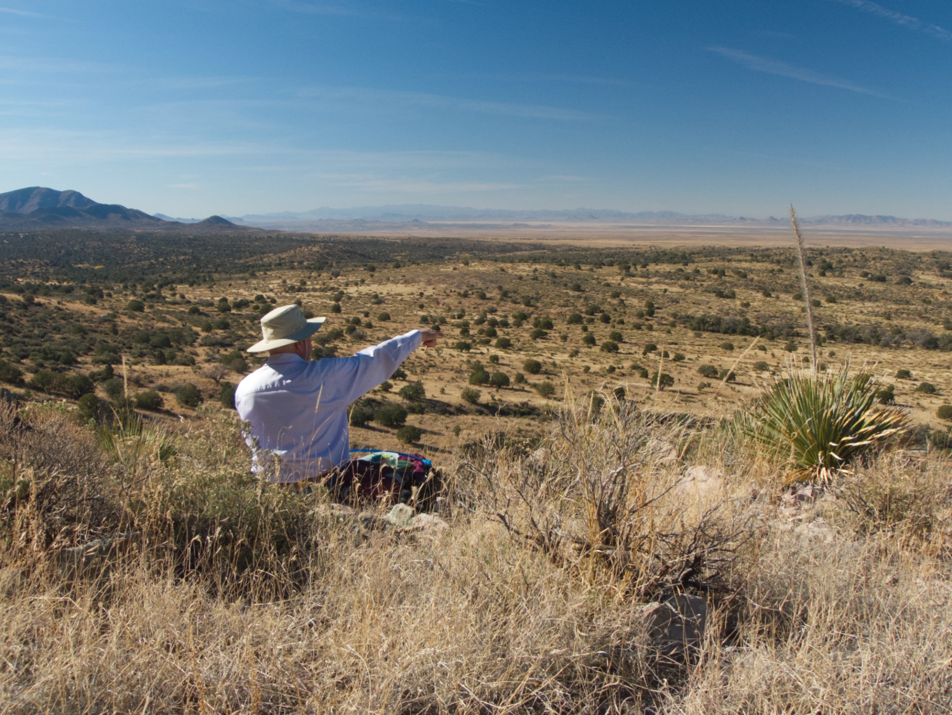
The views are fantastic! Lordsburg was clearly visible, along with Steeple Rock, Caprock Mountain, Cañador Peak, and Mount Graham.
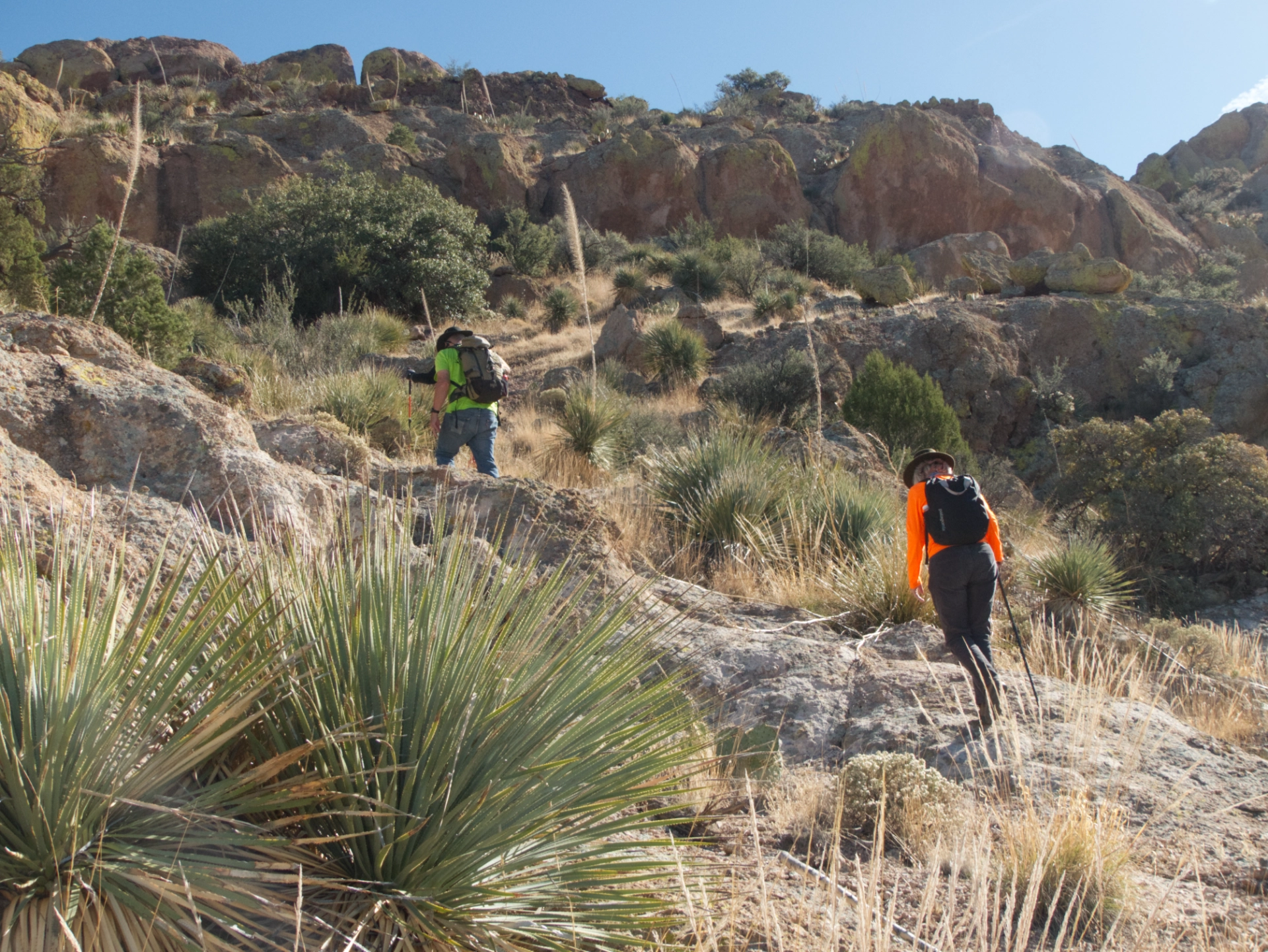
The terrain is extremely rough, but we thought we saw a possible approach weaving in and out of rhyolite blobs on a sunny ridge.

There was lots of loose scree, but eventually we arrived at a fine plateau just below the apparent summit.
Miguel blazing the trail.

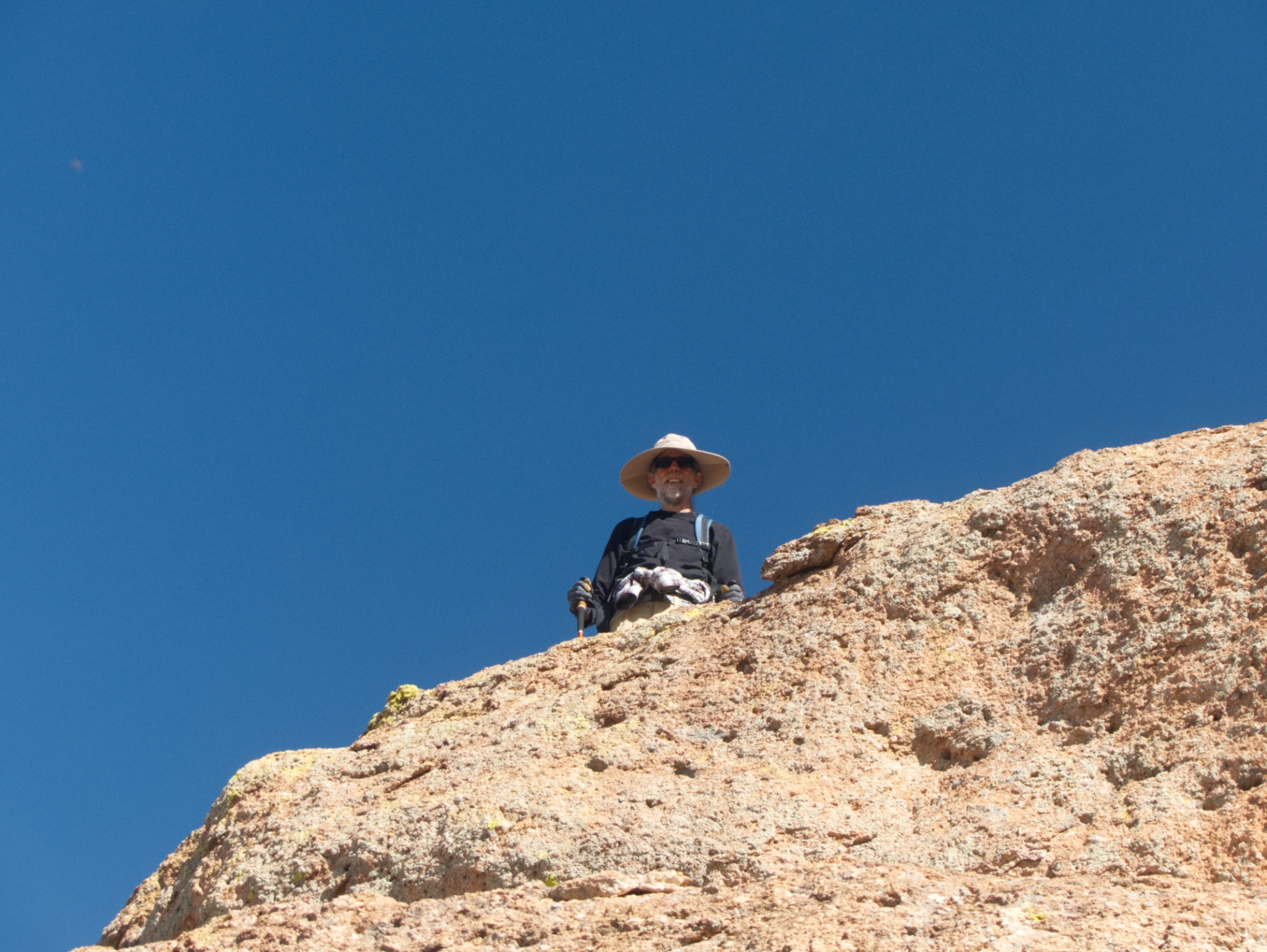
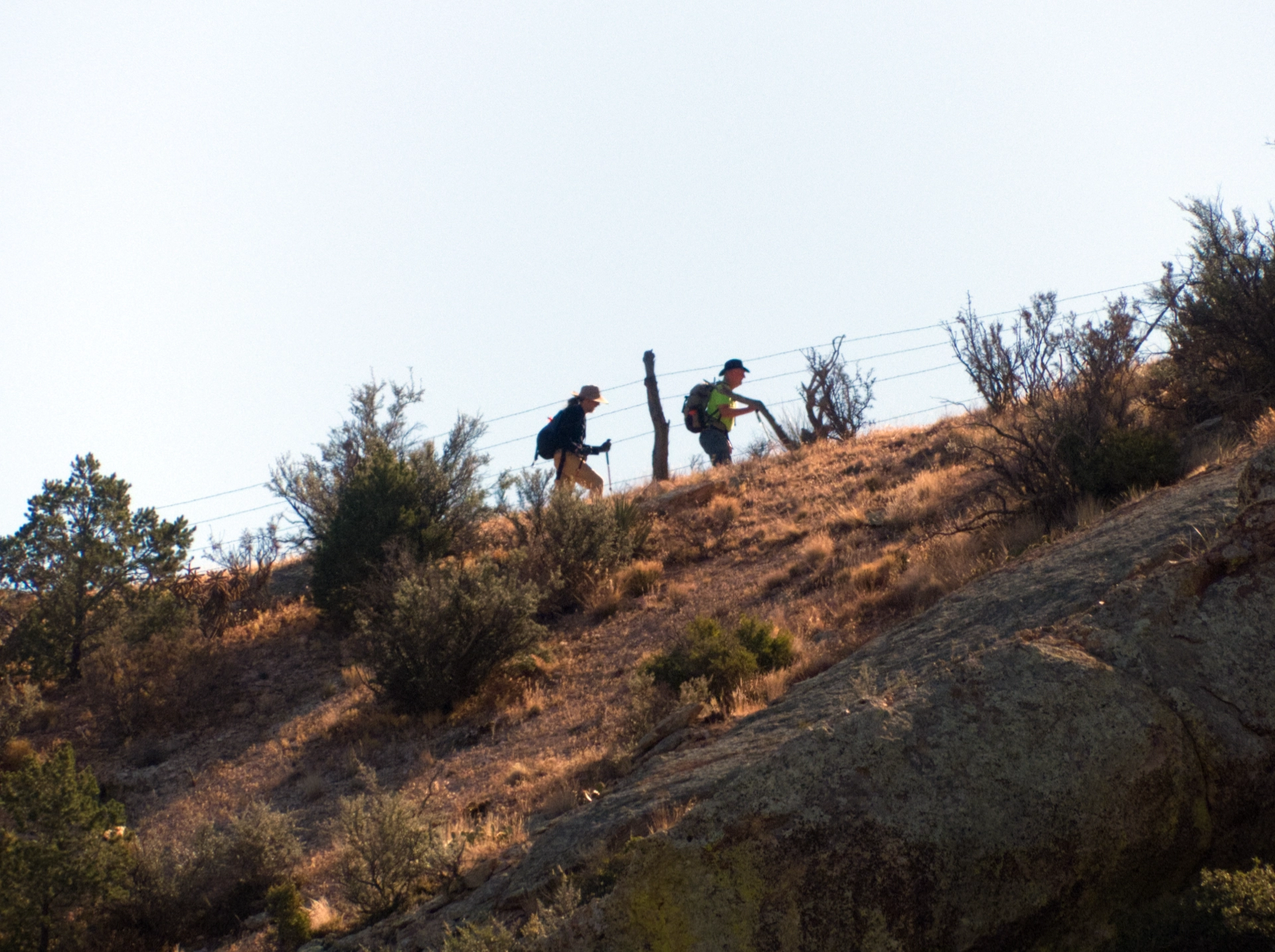
Alan and Miguel would continue across a large cirque and then up a long, sloping ridge to the summit. Dennis, Sue and I were quite happy to lounge on the rocks, sketching, snapping photos, and playing with radios.

There they go up the ridge.
A closer look.

Arrived at their destination. It turned out to be a false summit, but with great views!

The amazing folds of rhyolite along the back side of Brock Ridge. This whole range deserves further exploration!
