Finger Rock
January 23, 2005
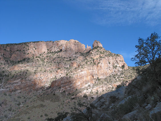
One of the most distinctive features of the Tucson skyline is Finger Rock, a mitt-shaped rock formation that appears to sit astride the main ridge of the Catalinas.
In fact, Finger Rock is only about halfway up the trail to Mount Kimball. This trail climbs relentlessly from the end of Alvernon Way but offers spectacular views for its entire length.
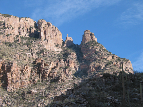
About three miles out at an elevation of approximately 5200 feet, the trail bends sharply to the right. From there is a trail that drops down into the canyon and that may continue up the steep wall on the opposite side with some technical climbing.
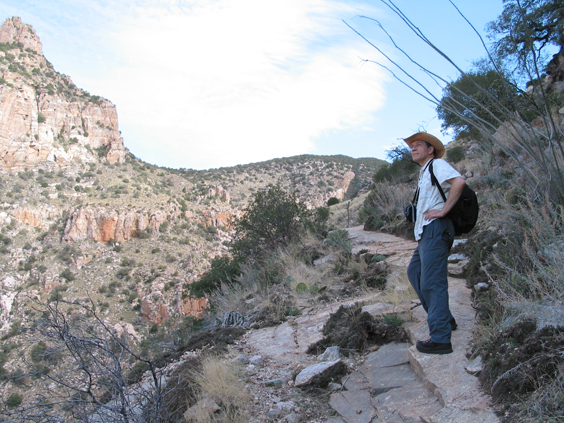
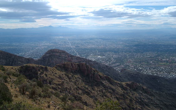
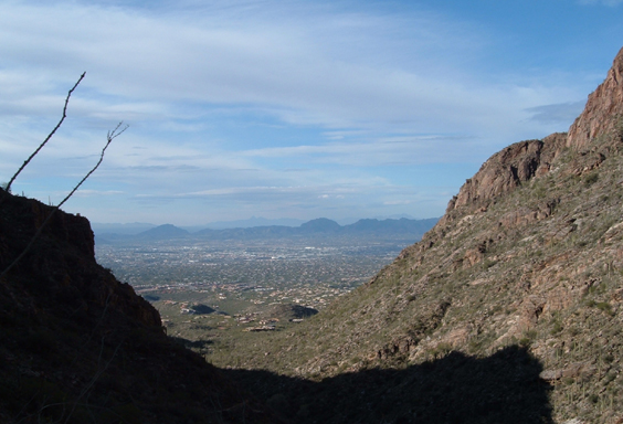
We continued on the main trail. In about 1/2 mile a side trail leads right to a saddle that provides sweeping views of Tucson and neighboring Pontotoc Ridge.