Charlebois Spring Loop
November 26-27, 2005
On a perfect fall morning, we set out from Tucson for a two-day trek in the Supersition Wilderness. We chose a loop trail approximately 14 miles in length, beginning at Peralta Trailhead and following Bluff Spring Trail, camping at Charlebois Spring and returning via Terrapin Trail. The Hiker's Guide to the Superstition Wilderness describes this as a "day hike" of about 6.5 hours in length. Maybe a 20-year-old marathon runner could complete the loop in under seven hours, but it's ridiculous -- if not downright dangerous -- to suggest that this is an "average" time. It took us two days of dawn-to-dusk schlepping.
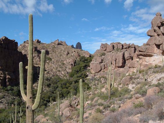
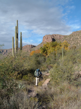
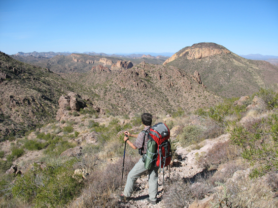
The degree of difficulty caught us off guard, since this trail offers considerably less altitude gain (a mere 1200 feet) than most of our hikes. But there is no such thing as an easy hike in the Superstitions. This is a razor-backed range of mountains with trails of bare rock and loose stone. It begins with a stiff 800-foot climb up rocky Bluff Spring Trail.
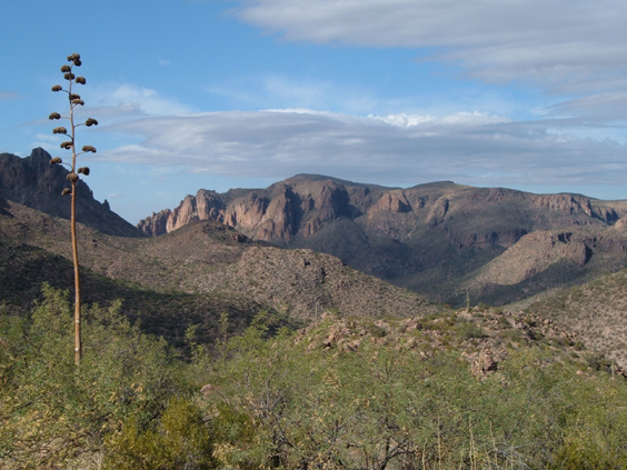
About two miles out at the junction with Terrapin Trail, a mysterious waterfall of vegetation pours in from a side canyon. The tip of Weaver's Needle is just visible in the distance.
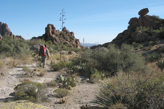
The trail levels off only to drop into a boulder-strewn wash with even more difficult footing. Three miles out, it finally settles down and meanders across a broad plain, past some lovely camping spots at Bluff Spring. We were told that the spring can be found uphill from the most well-shaded campsite.
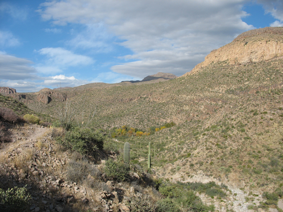
Dutchman's Trail follows a series of washes downstream to LaBarge Spring. We stopped for lunch above a side canyon affording great views of Music Mountain.
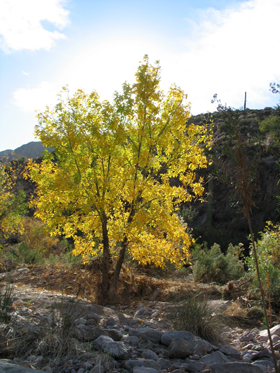
LaBarge Spring is a true oasis visible for miles in any direction.
We hurried past, hoping to make it to Charlebois Spring before we ran out of daylight. This section of the trail appears to have been swept away by a flood, so once again we were boulder-hopping in the wash.
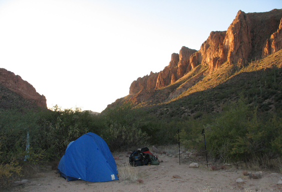
To our utter amazement, we found Charlebois Spring completely deserted. We pumped three liters and then set up camp on the "beach" just below the spring. It was a gorgeous, moonless, star-filled night, with the glow of Phoenix just visible on the horizon.
A late sunrise kept us zipped in the tent until 8:00 the next morning. The temp was 40 degrees when we hit the trail and hour later so it must have chilled off nicely during the night.
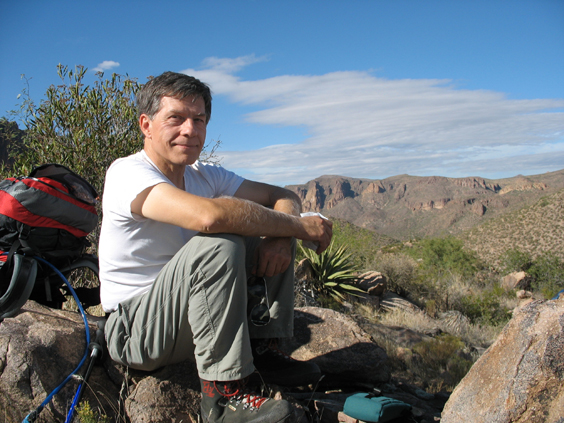
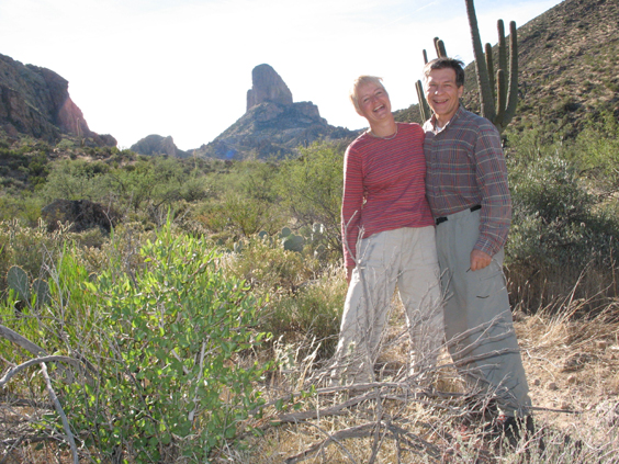
We were moving right along, knowing we had seven miles and another 800-foot climb ahead of us. But we couldn't resist pausing for the obligatory self-portrait with Weaver's Needle as a backdrop.
Terrapin Trail was tougher than I remembered, and even more overgrown than when I last hiked it two years ago. Some sections are virtually impassable.
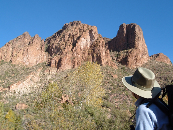
But oh what a view from the base of Weaver's Needle! Lunch was the lee side of a large boulder at Terrapin Pass, where we took off our boots, put our feet up, and settled in for a little nap, opening our eyes from time to time to contemplate the monolith above us. We hadn't seen another person in more than 24 hours. How is it possible that there are over two million people an hour from the trailhead and all of them had something better to do this glorious Sunday afternoon?
On the far side of Weaver's Needle, the Terrapin Trail passes through a place I call the Valley of the Hoodoos from Hell. Tortured spires and chimneys and cantilevered rocks surround you until the valley dead-ends at the edge of the universe.
The trail tops out at 3400 feet at Bluff Saddle and then begins an interminable three-mile-long, 1000-foot descent to Peralta Trailhead. Another great adventure ends with burgers, fries and beers at the River Bottom Bar in Florence.
