(Your A _ _ is) Grass Canyon
January 21-22, 2006
Visitors to Organ Pipe Cactus National Monument cannot help but be intrigued by the description of the Grass Canyon Loop in Eric Molvar's "Hiking Arizona's Cactus Country." Molvar rates it as a "moderately strenuous" 6.2-mile-long day hike.
I wonder what he was smoking?
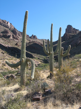
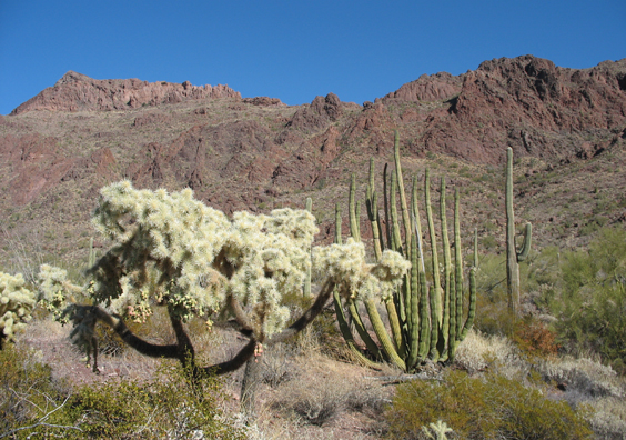
The hike begins at the Alamo Canyon primitive camping area and heads north along the base of a wall of red rhyolite. There is no trail, but it's easy enough to make your way across the bajada bristling with saguaros, organ pipe and teddy bear cholla.
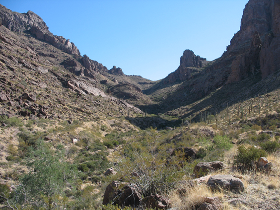
About two hours out, you'll pass a box canyon on your right and then make your way around an enormous stone tower. This is the entrance to Grass Canyon, lat. N32° 5.77', lon. W112° 43.49'.
Over lunch we cheerfully contemplated what looked like a gentle 3/4-mile ascent to the saddle. Three hours later, bruised and bleeding, we clawed our way up a rock slide to the only flat spot within miles.
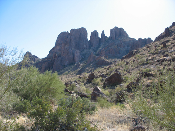
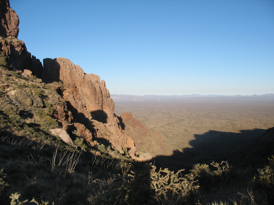
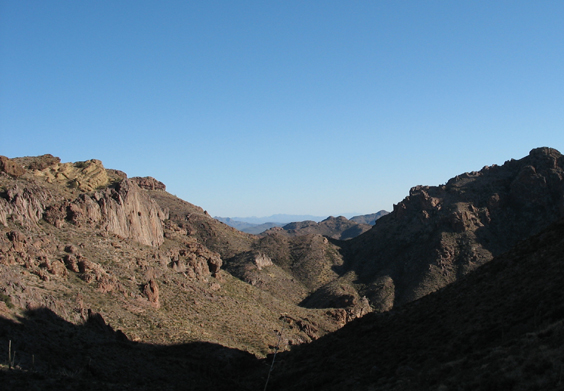 This is Grass Canyon Saddle, lat. N32° 5.28', lon. W112° 43.54', where there are wonderful views east into a steep-walled canyon, and west across an endless alluvial fan.
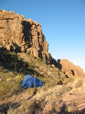
14 hours in the tent gave us lots of time to think about the route ahead. Although in theory we were 2/3 of the way around, if we maintained the same snail's pace, we'd never make it to Alamo Canyon by dark. We reluctantly concluded that in the morning we should go back the way we came.
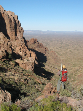
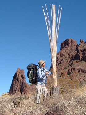
A leisurely departure gave Dennis time to try out his latest contraption: an aluminum hiking pole that doubles as a VHF antenna. He was able to talk to another ham in Sahuarita, and he also picked up signals from the space station.
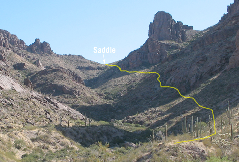
For the return trip we stayed high on the canyon wall. The photo above shows our approximate route. Although loose stone and steep slopes make for tough going, it's far better than dropping into the wash, which is choked with house-sized boulders, hackberry and cat's claw. Aim for the bases of the lowermost stone pillars, and STAY OUT OF THE WASH!
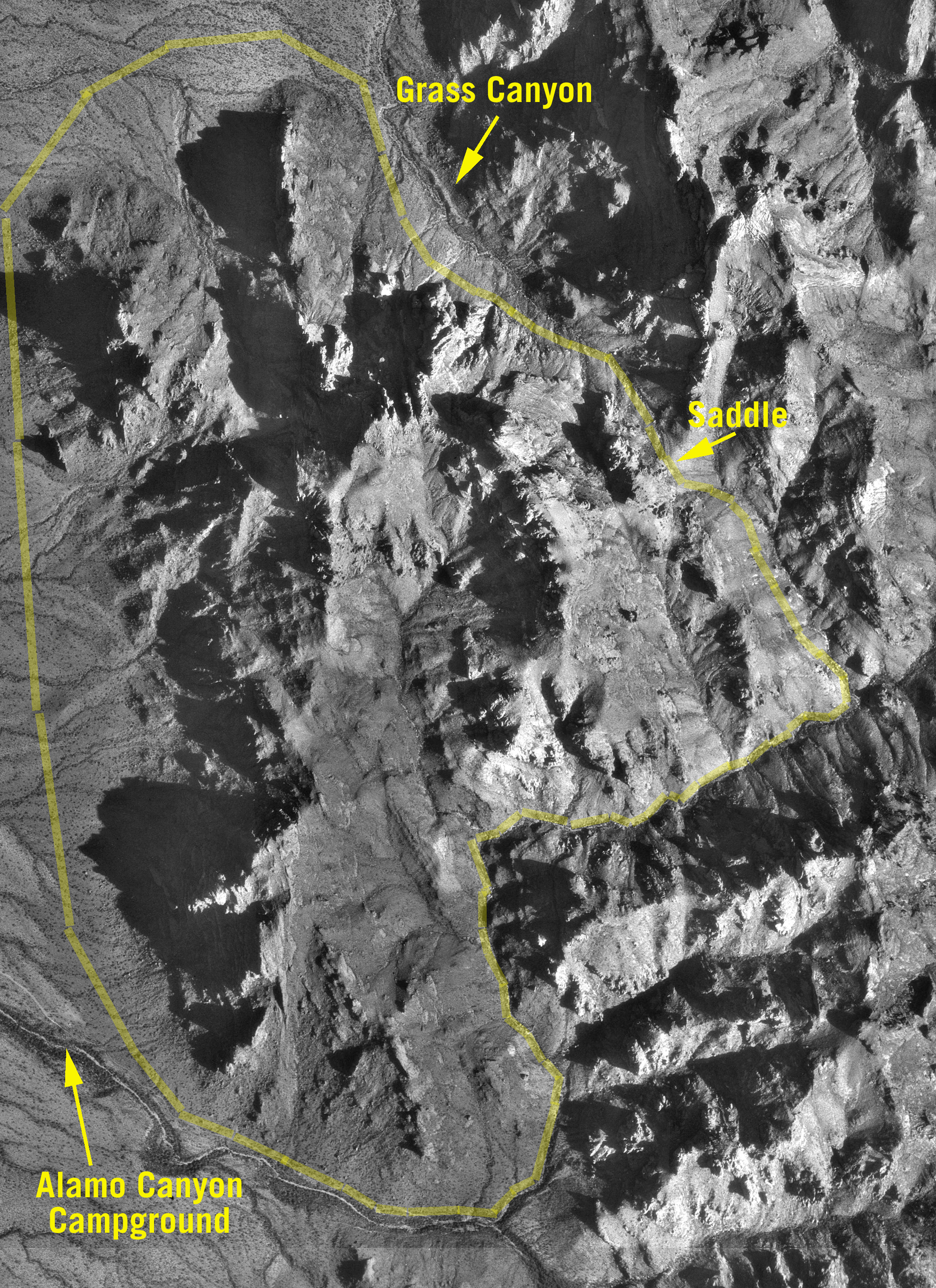
We'll return to Grass Canyon, but only once we've checked out the approach from the Alamo Canyon side. The wonderful aerial photo above was assembled from Terra Server images. Click the photo for a much larger original.