White Mountain Refuge
June 17-23, 2025
June is the cruelest month, at least in southern New Mexico. The anxiety builds as moisture levels drop and temperatures rise. Soon the sky fills with smoke from the inevitable forest fires, worse this year since the snow pack in the Gila is less than 20% of normal. We've been on edge for weeks, watching in dismay as the Greer Fire burned more than 20,000 acres in the White Mountains, including one of our favorite camping spots.
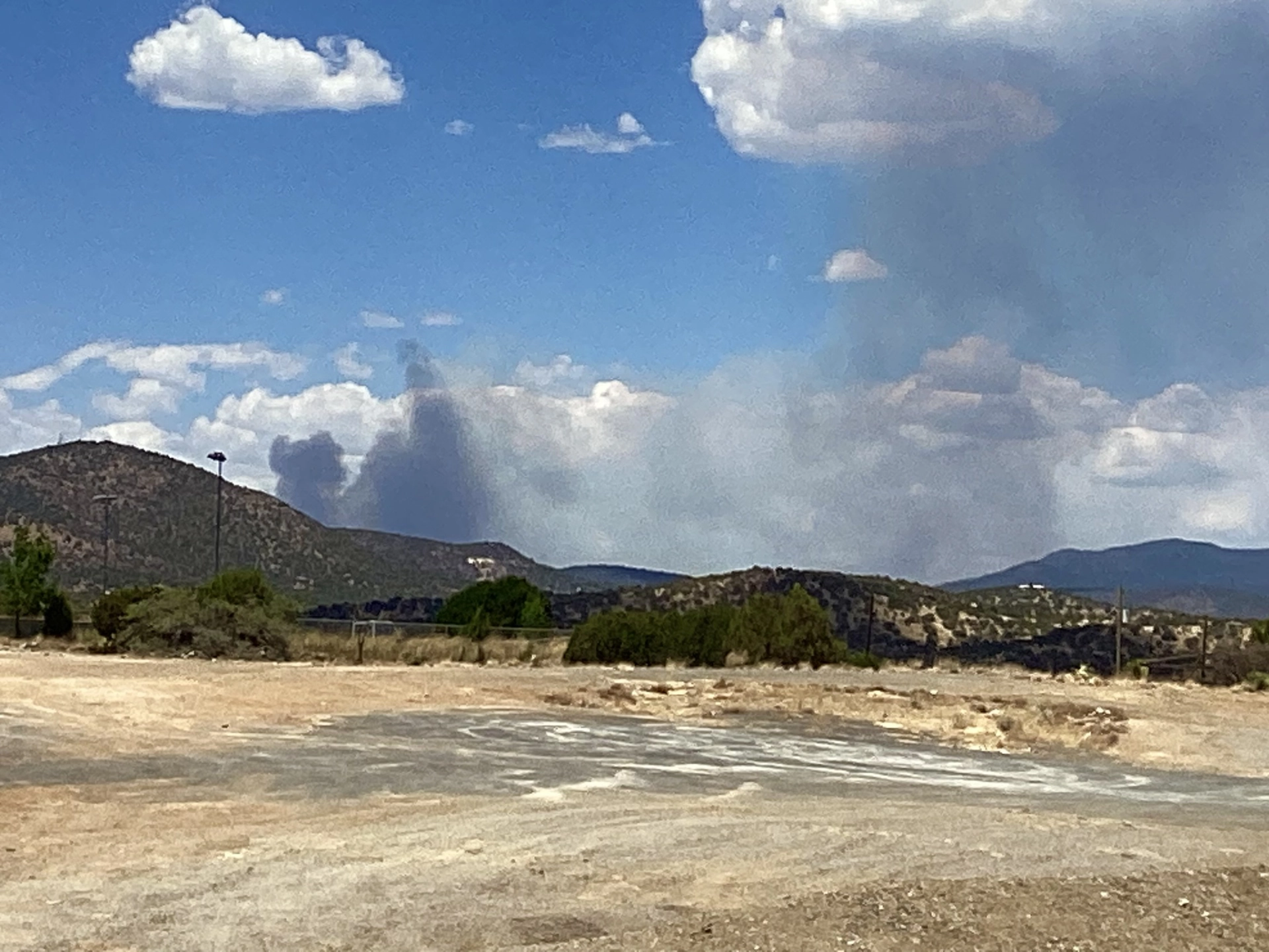
On June 12, two fires were discovered in the Gila about 12 miles northeast of Silver City. We watched from behind Tractor Supply as the Trout Fire ballooned from a puff of smoke to a boiling black cloud. It grew quickly over the next few days, merging with the Meadow Fire, and creeping steadily east and south.
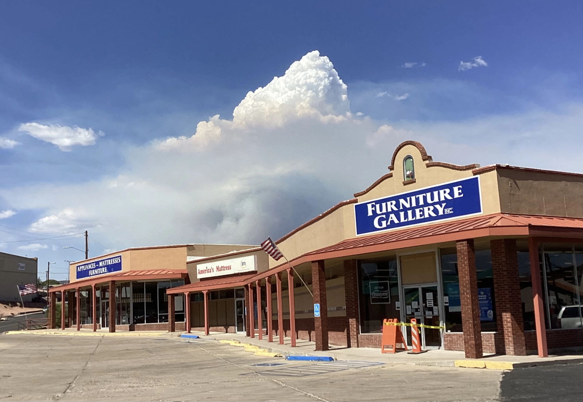
On June 14, the day of the No Kings protest, it exploded to 18,000 acres.
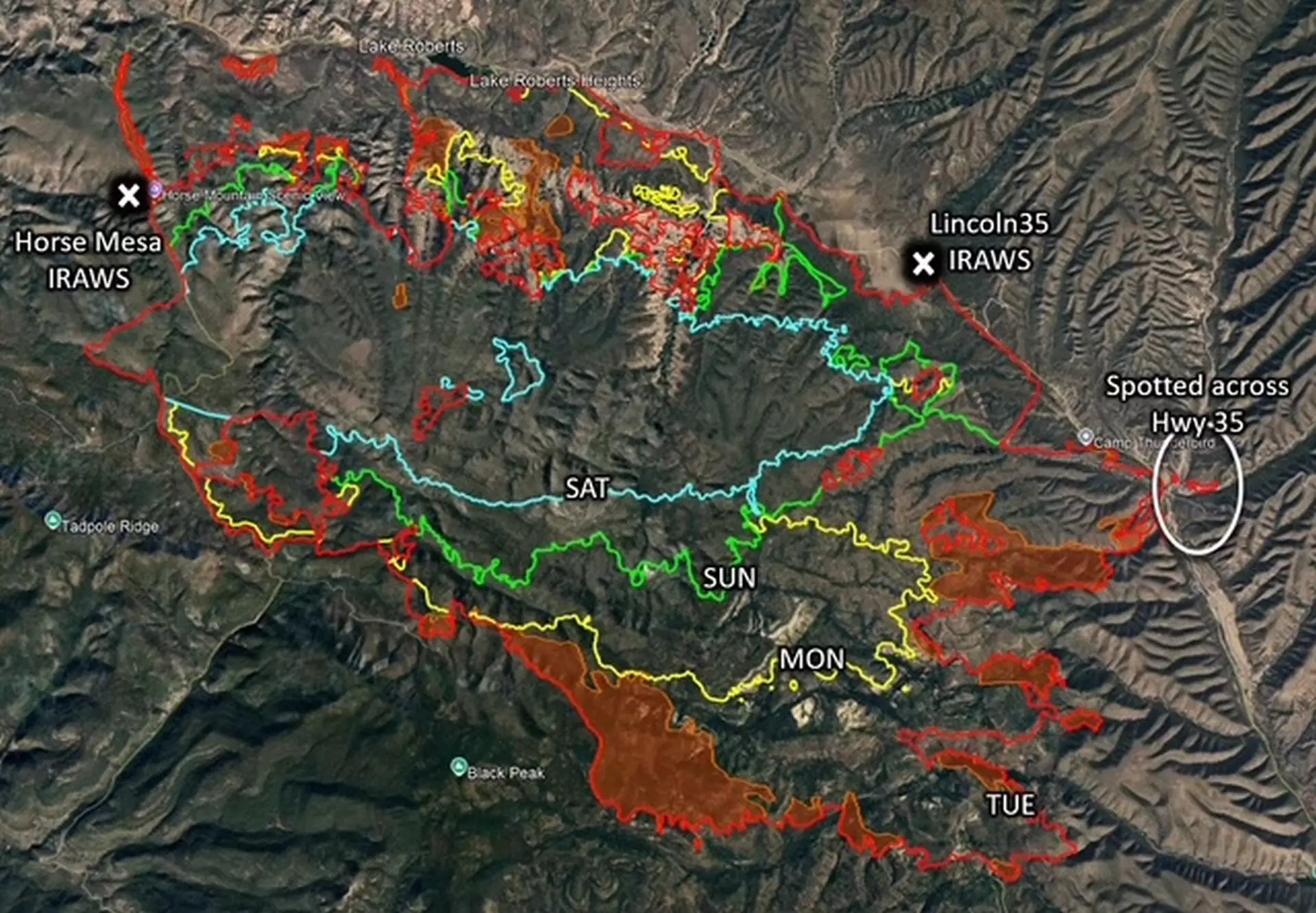
Daily progression of the Trout Fire.

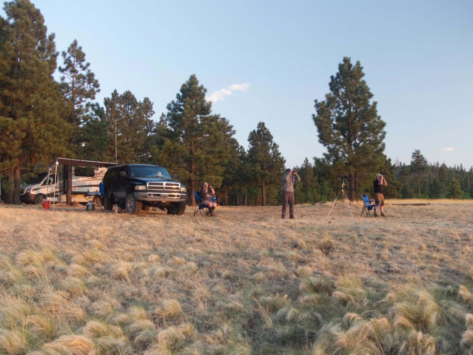
We had planned on heading to northern New Mexico to escape the heat and await the monsoon, but a major fire so close to Silver City gave us pause. Based on the average daily progression of the Hermit's Peak/Calf Canyon Fire (the largest fire in New Mexico history), given the prevailing winds, and assuming there were no unusual weather events, I estimated the fire would grow to approximately 40,000 acres by Tuesday, June 23, and concluded that we should be okay to leave town for a week. But just in case, we packed as if we might not be coming back. We delayed our departure and redirected to the White Mountains, where we'd be less than four hours from home in case of emergency. We chose an area that was physically similar to our beloved Wahl Knoll, but which has not experienced a serious fire since 2011. We were joined by our buddy Ken, who turned back from a longer trip when he learned of the fire.
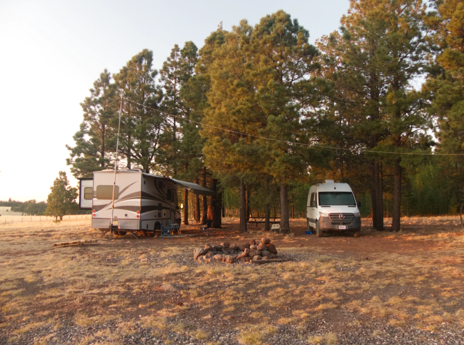
After extensive research, we stumbled on a primo camping spot at the edge of an intact forest, with expansive views and three bars of internet so we could continue to monitor the fire.

It was such a relief to be out of the heat! It was 81° with a fresh breeze when we set up camp.
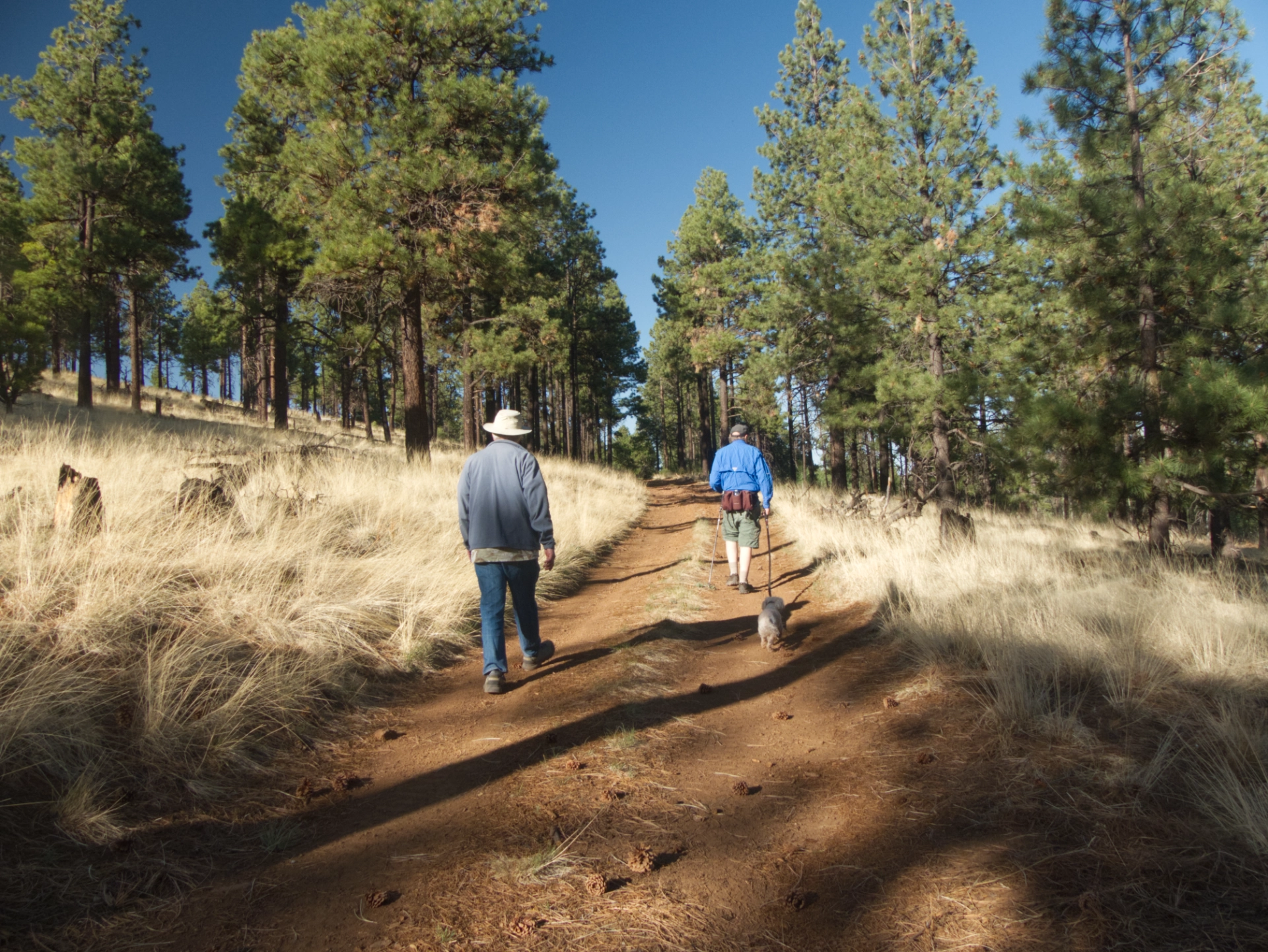
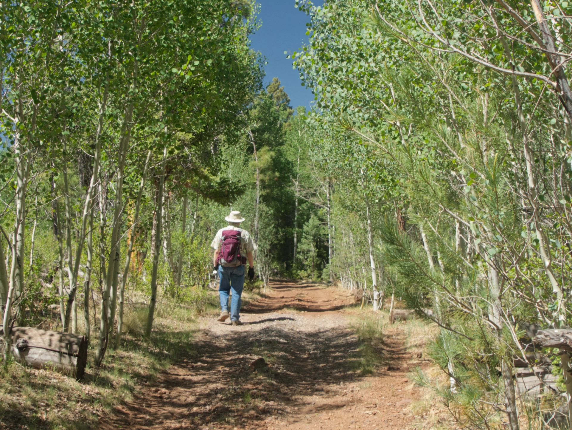
A sunset hike confirmed that we had indeed found the unicorn — a forested island in a sea of burn scars, with plenty of trails and old forest roads for hiking.
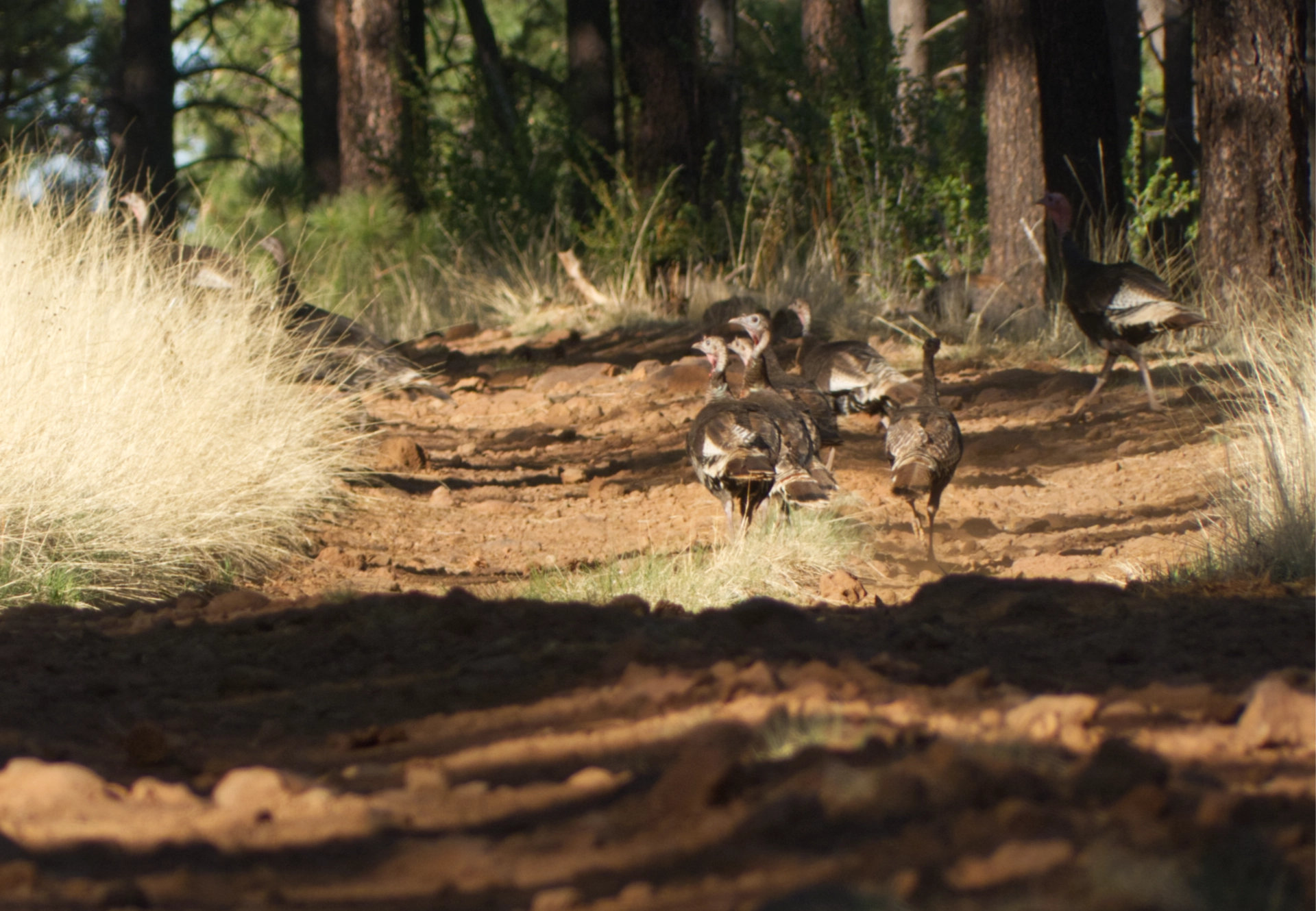
A flock of turkeys crossing the road during a sunset exploration.
Herely stately pondos and Doug firs alternate with swaths of vigorous young aspens, offering bright green hope to fire-weary New Mexicans.
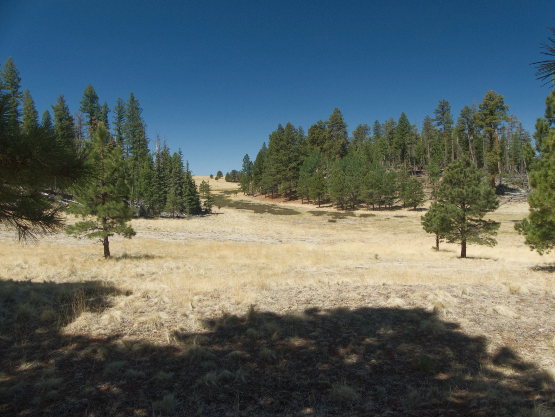
Vast alpine meadows — in season traversed by tiny streams that settle into marshes filled with western blue flag irises — stretch for miles in every direction.
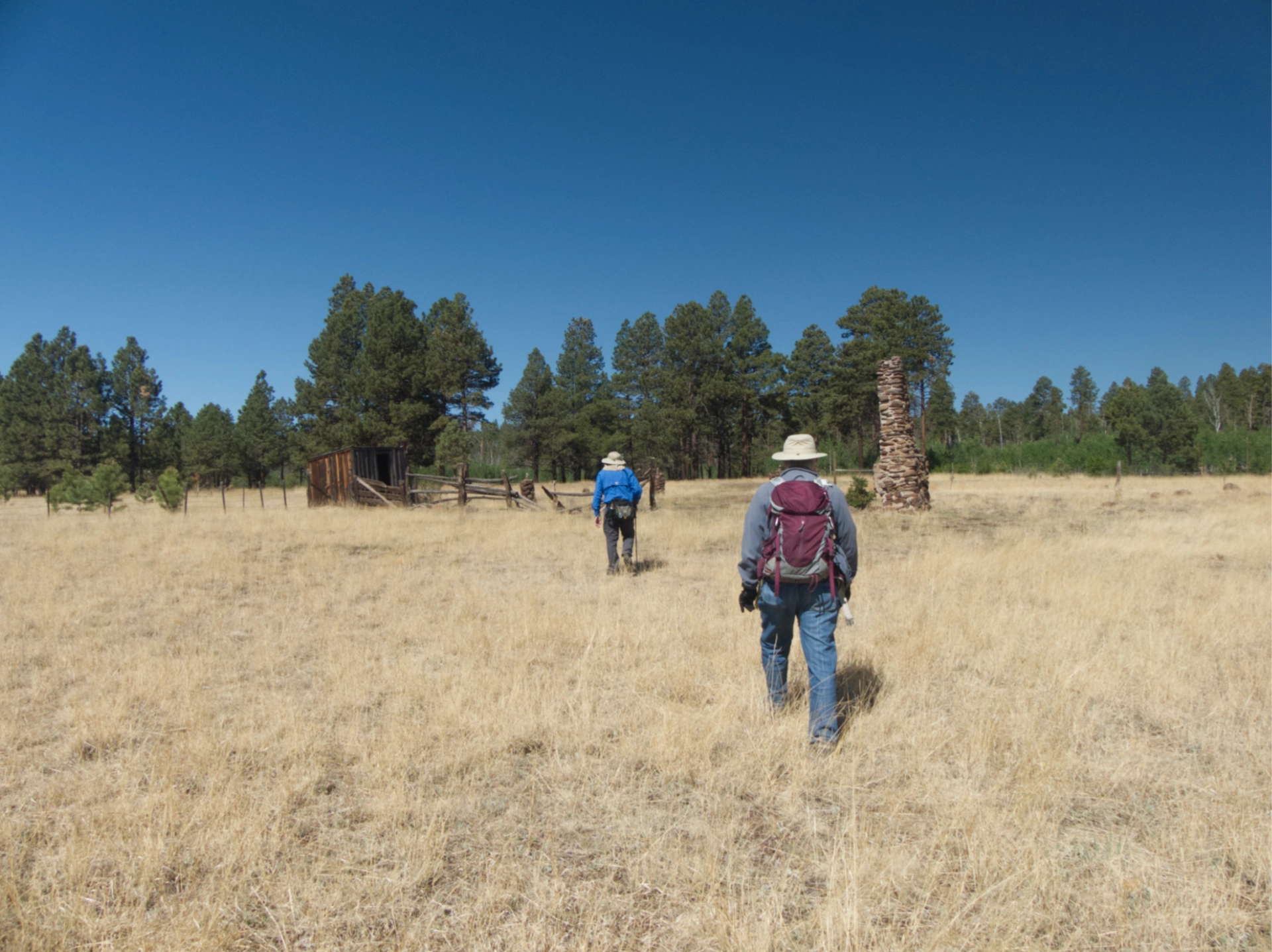
One of our first hikes took us to the site of an old Forest Service cabin. The cabin was built in 1913 and relocated to the White Mountain Historic Park in 1998. The chimney remains, along with several outbuildings and a spring house.
That evening we bushwhacked to the summit of one of two knolls — which curiously share the same name — where there were great views of Escudilla Mountain.
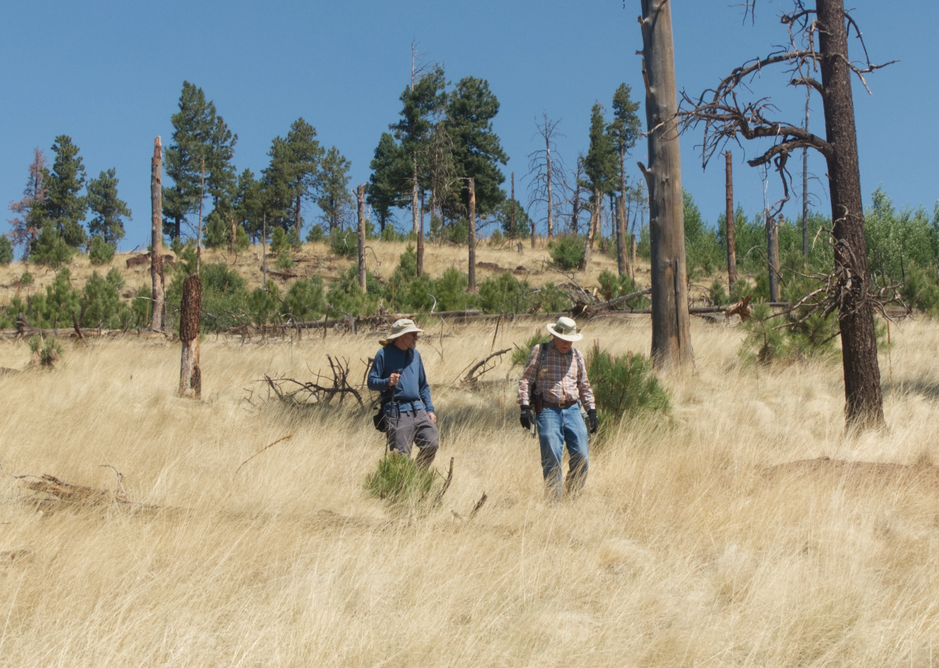
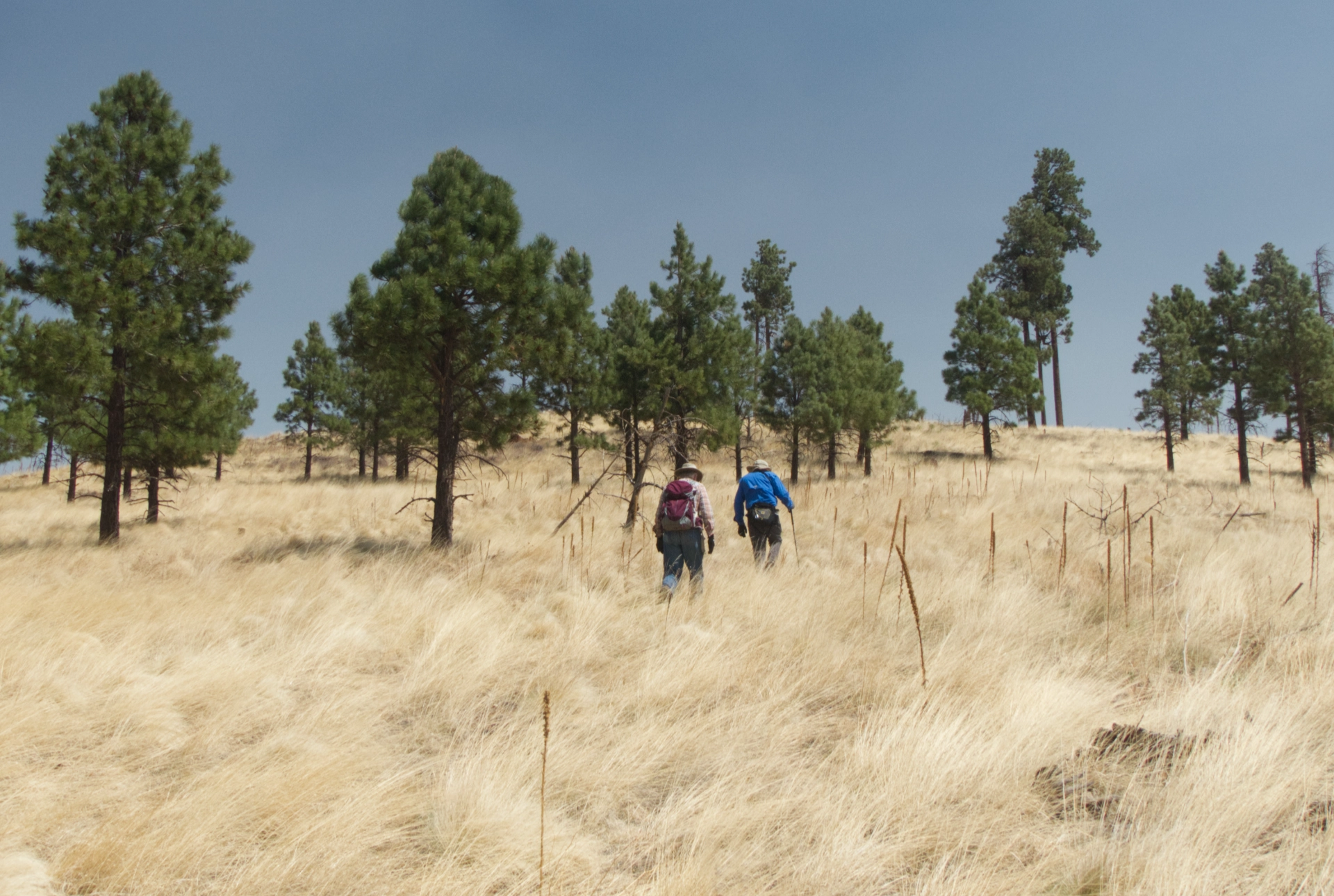
The next morning we set out to loop around the taller of the two knolls with the same name. Along the way there were fine views of Wahl Knoll and Pole Knoll.
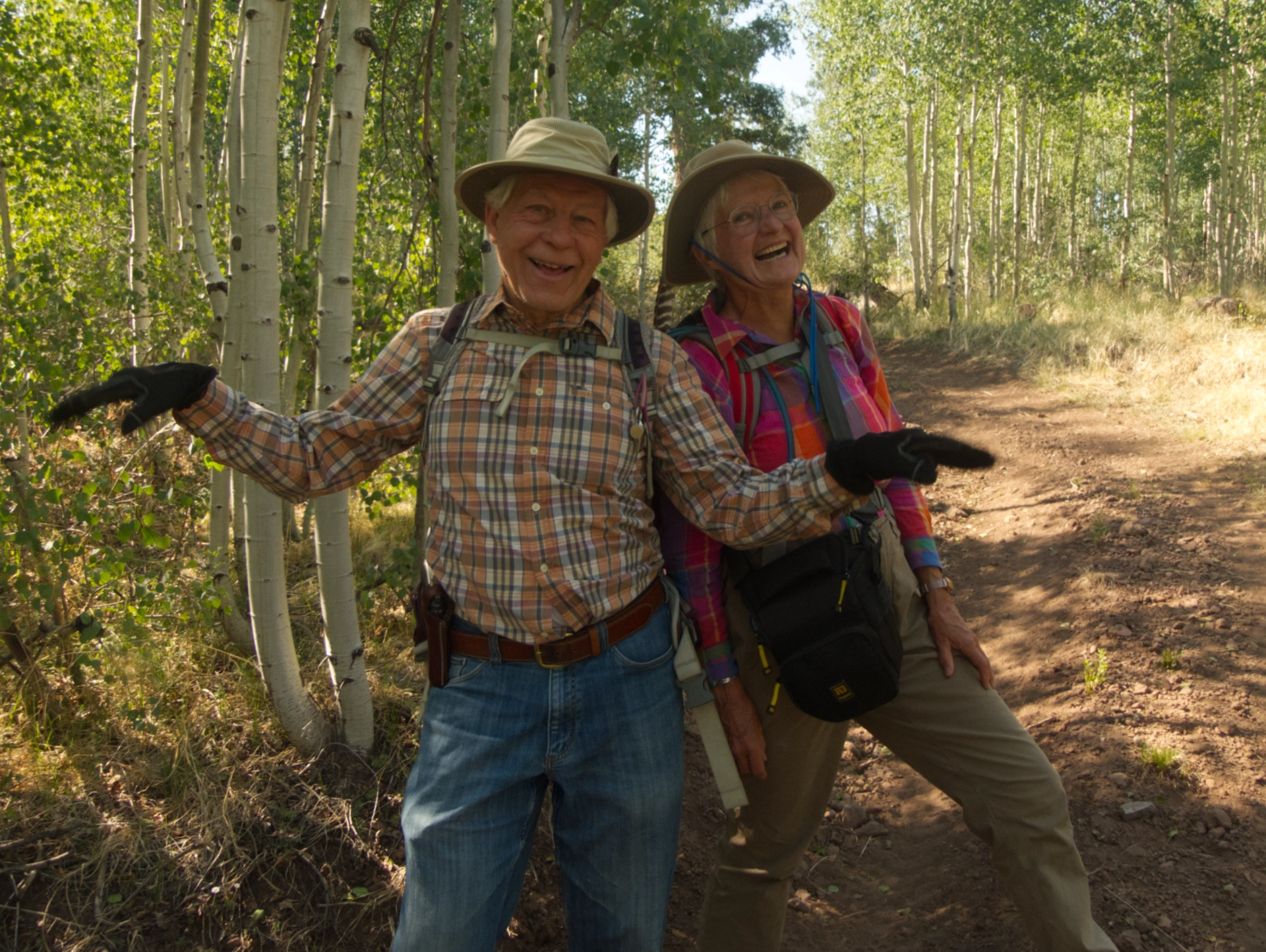
Shaking our tailfeathers.
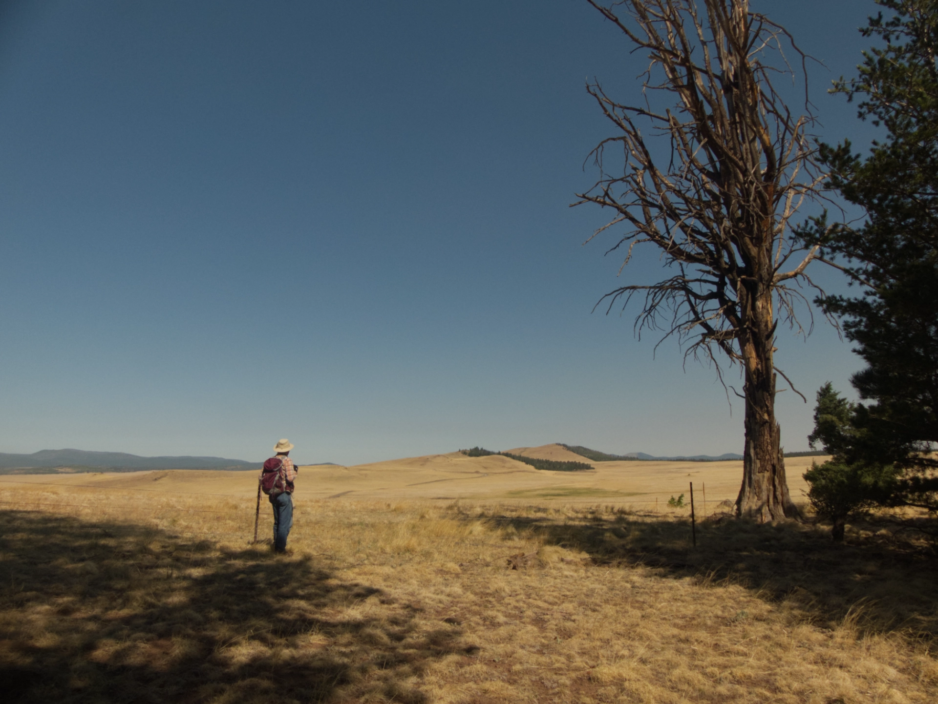
There were splendid views from the summit, all the way south to Big Lake and beyond.

There was once a fire lookout here, but it burned to the ground in 1917. A Mexican sheepherder was blamed (of course) and fined $25.
There's a benchmark, a panoramic view, and a geocache at the summit.
Bushwhacking down the grassy south slope.
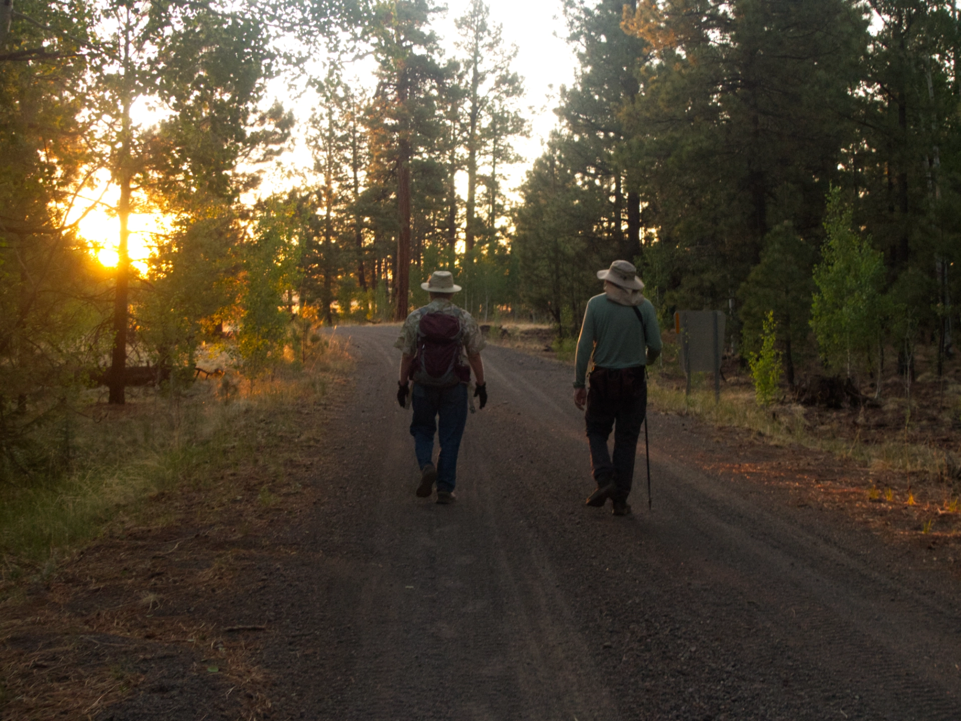
Hiking back to camp at sunset.
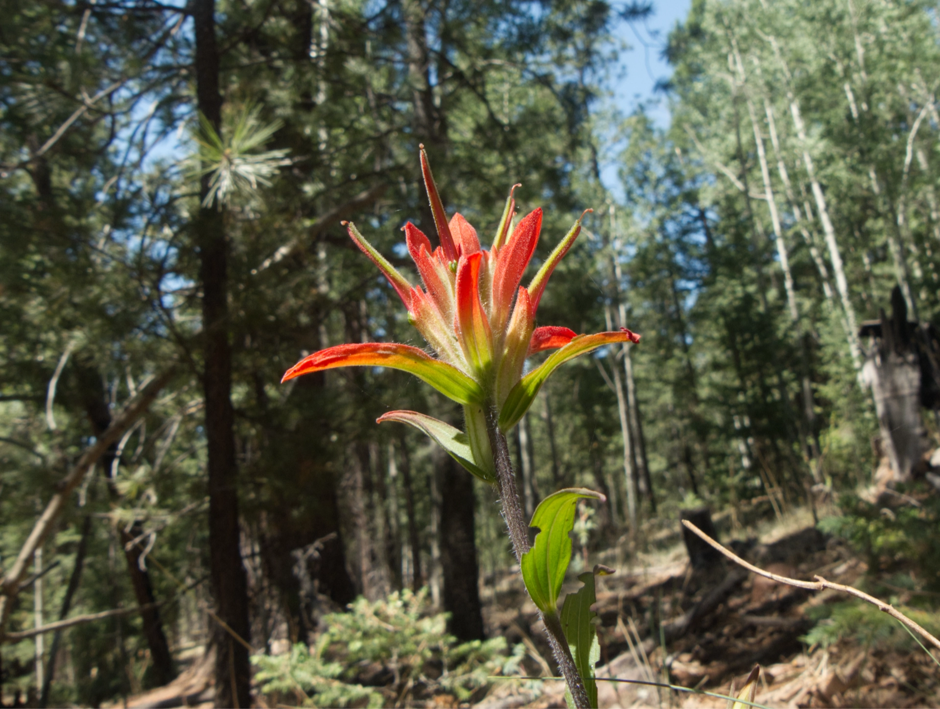
A single Indian paintbrush — one of the very few summer wildflowers we've seen on this trip.
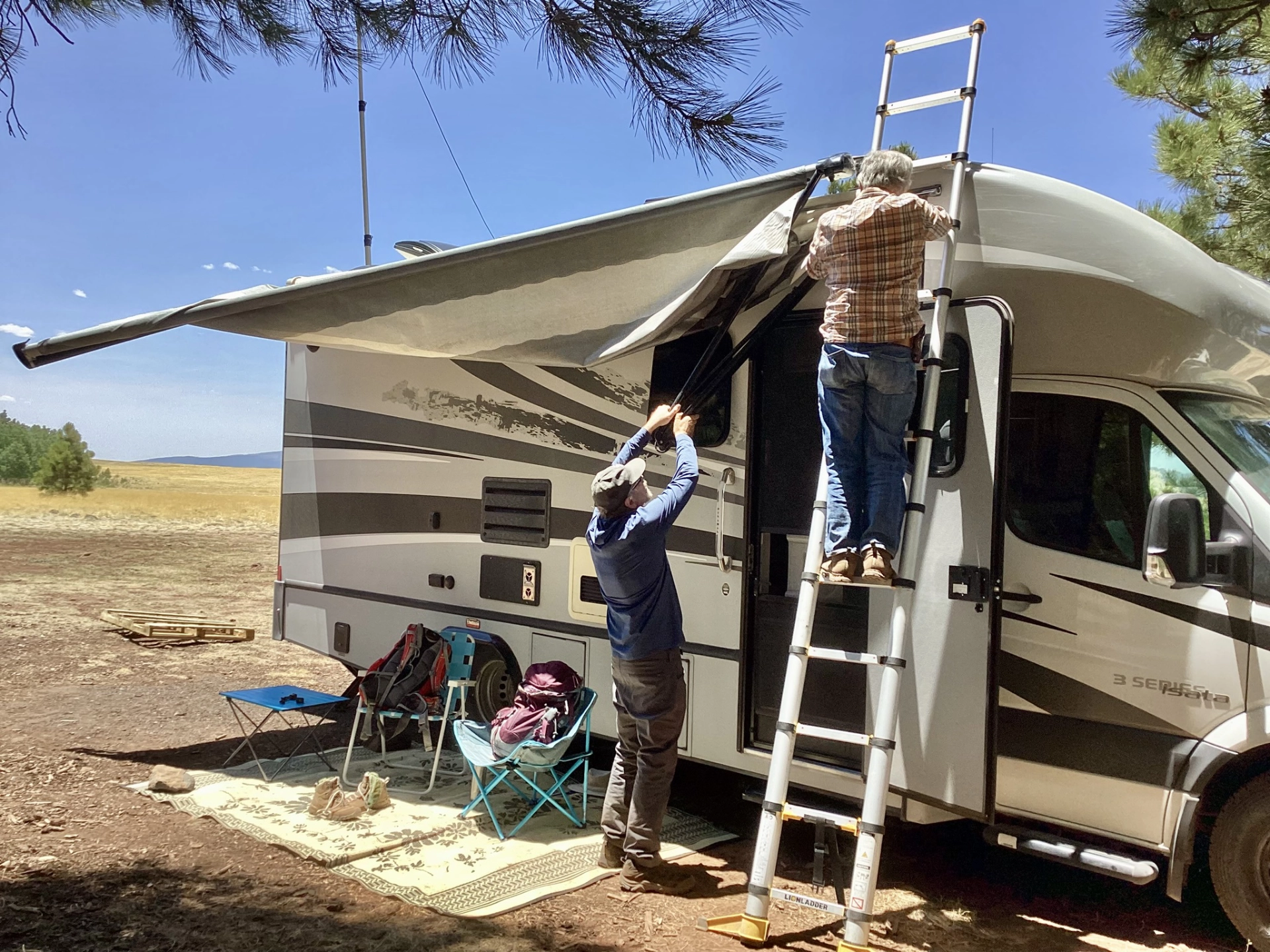
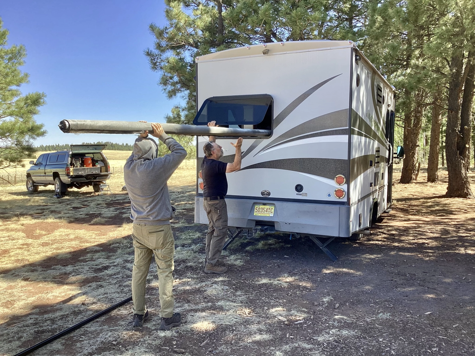
We were relaxing in camp that afternoon when a violent dust devil tore through camp, flipping our awming over the top of the RV and bending the supports. Ken and Dennis worked all afternoon trying to repair it.
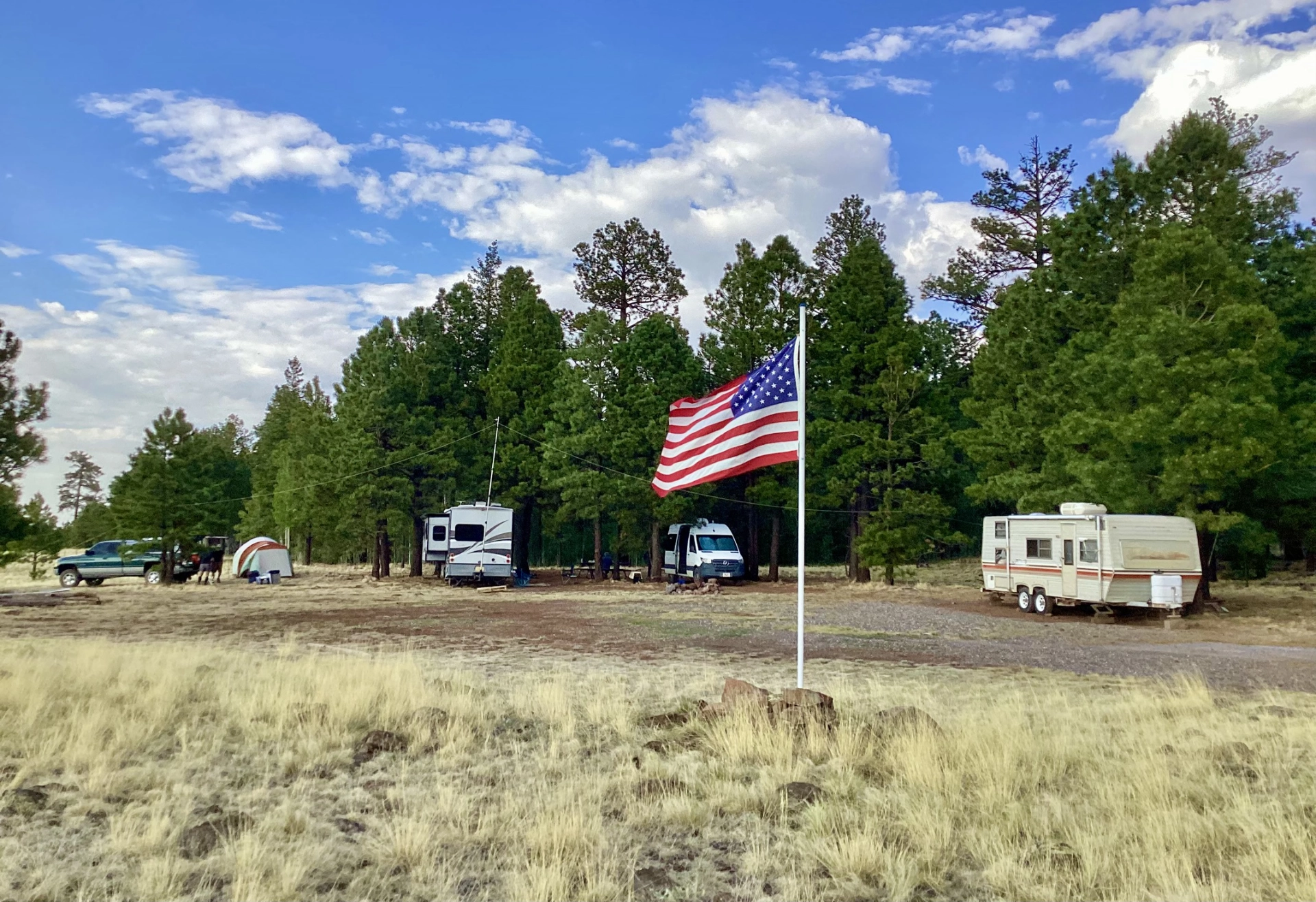
That disaster was more than offset by the unexpected arrival of friends Val and J, and the news that we would soon be part of a working cowboy camp. So now we had neighbors, plus a big 'ol American flag!
Admiring a herd elk feeding in a dry lake at sunset.
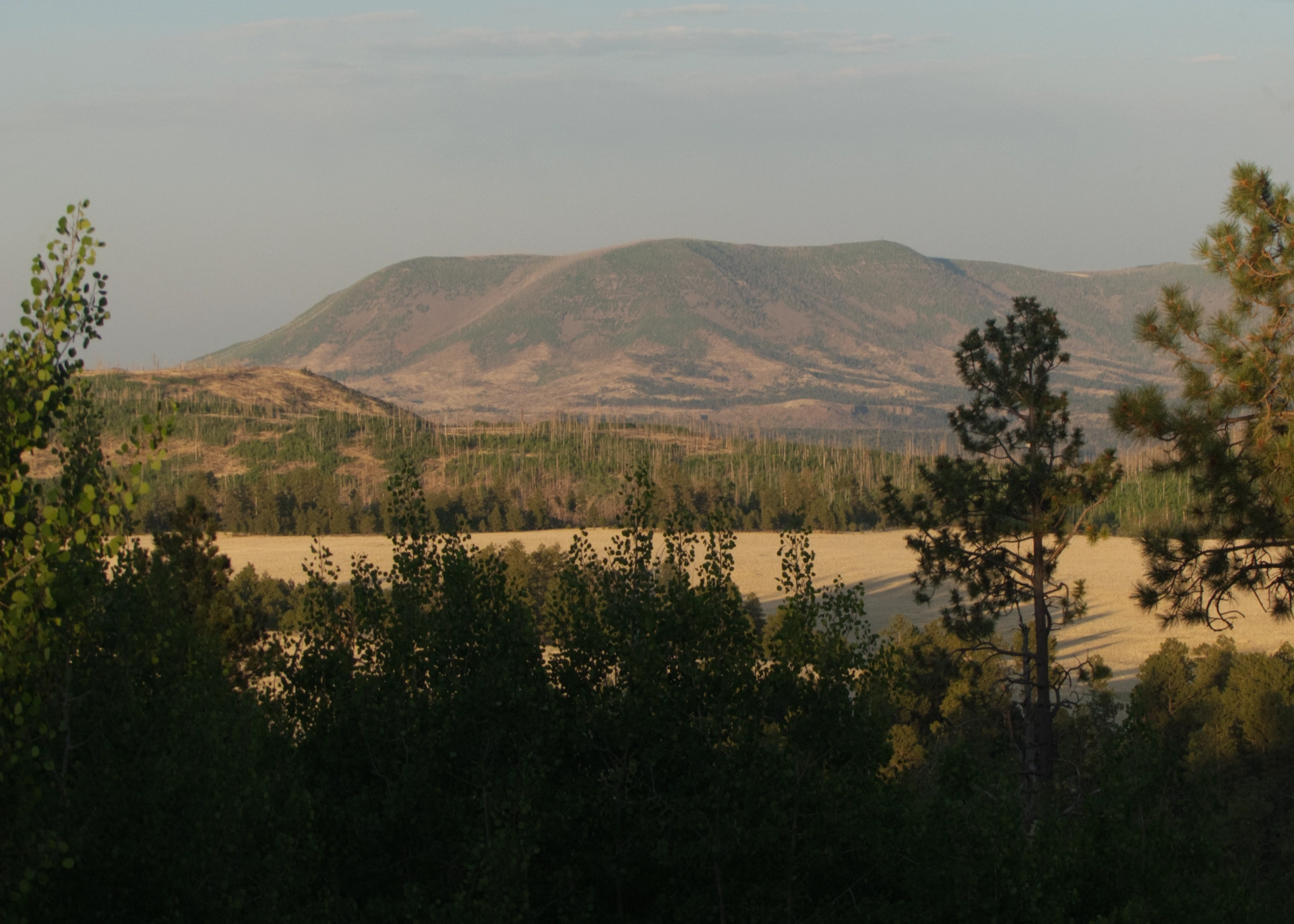
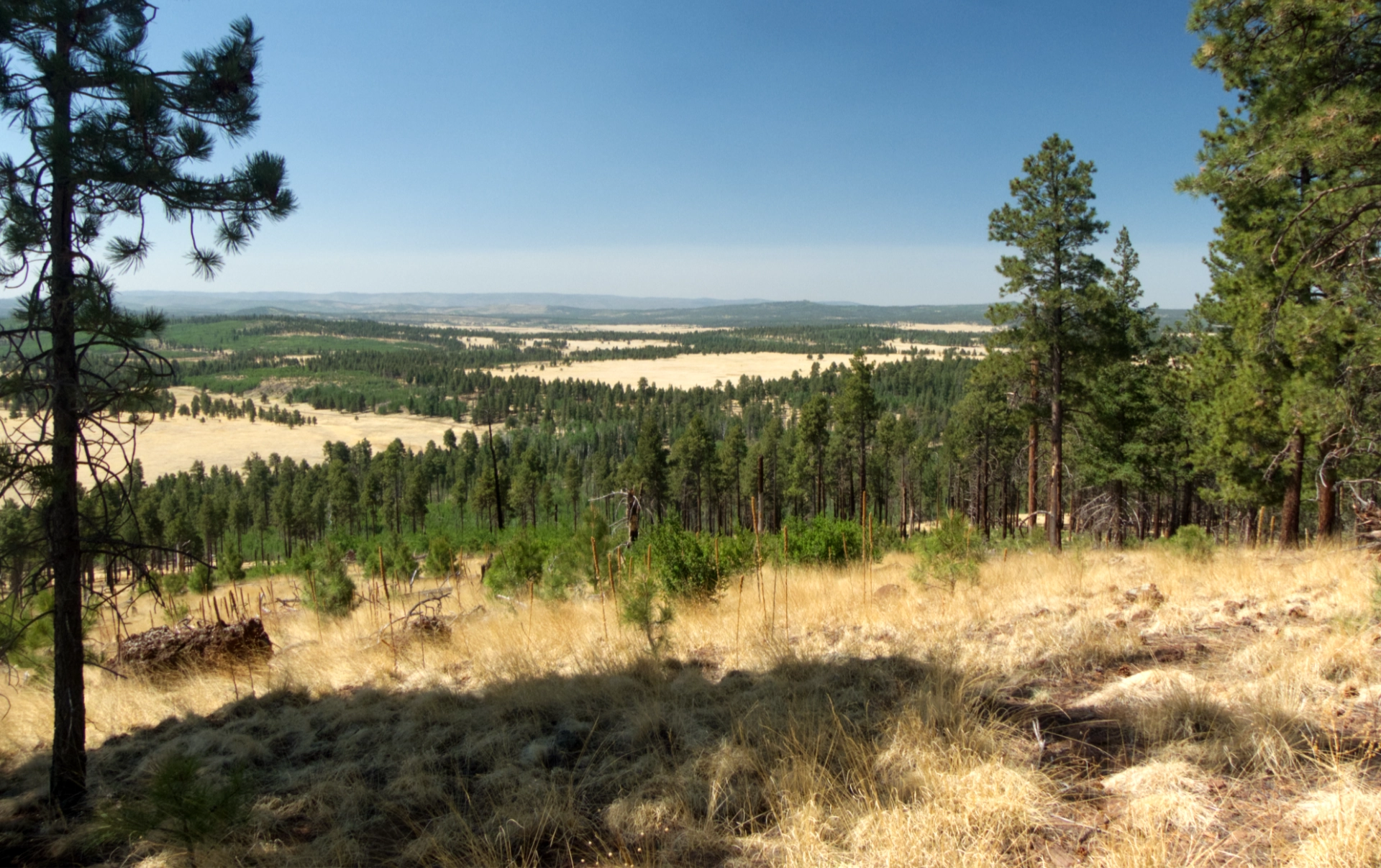
On the third day of our trip, we explored beyond our forested island to unnamed knoll with a view of an area decimated by the Wallow Fire of 2011, the largest wildfire in Arizona history (522,642 acres).
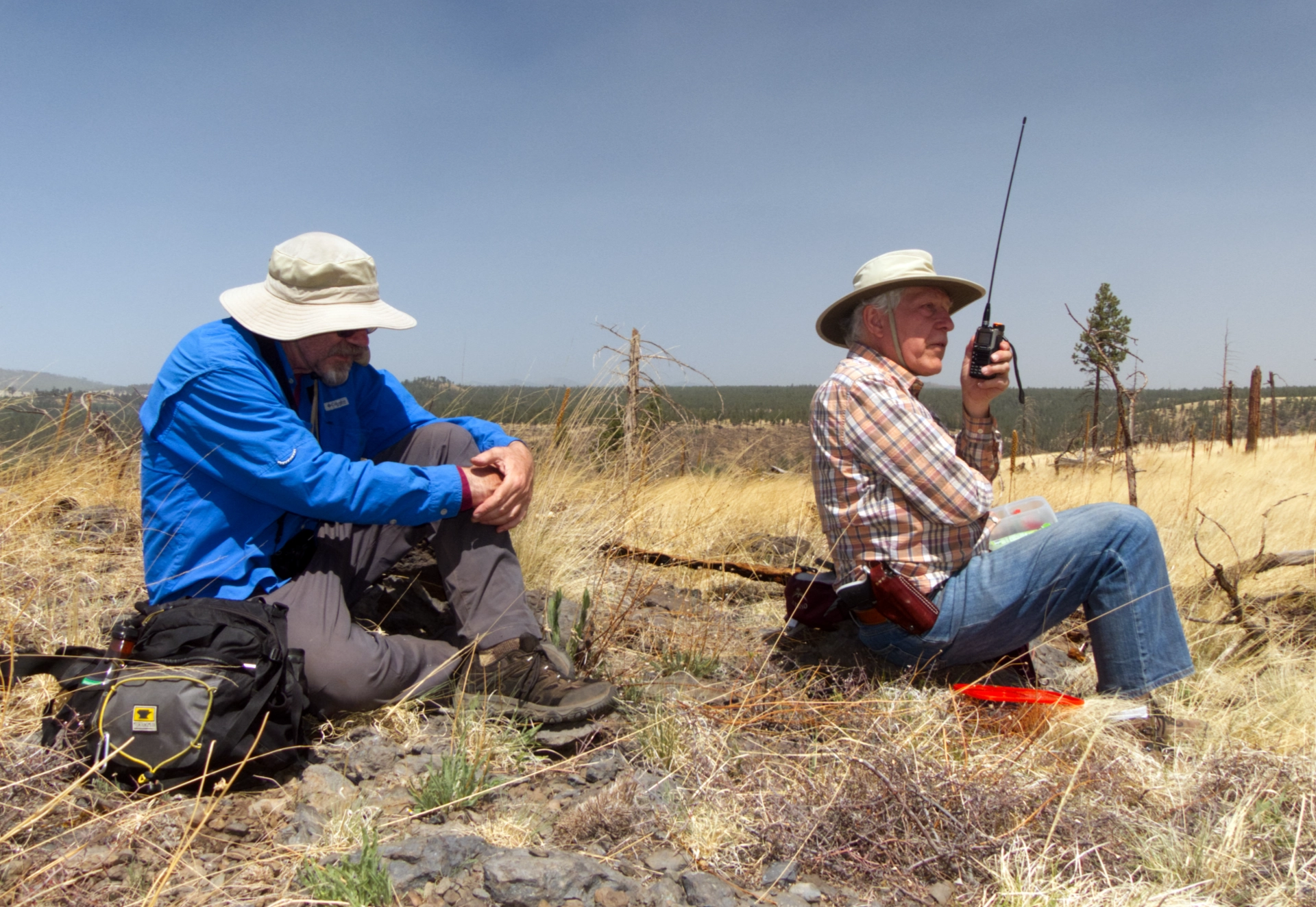
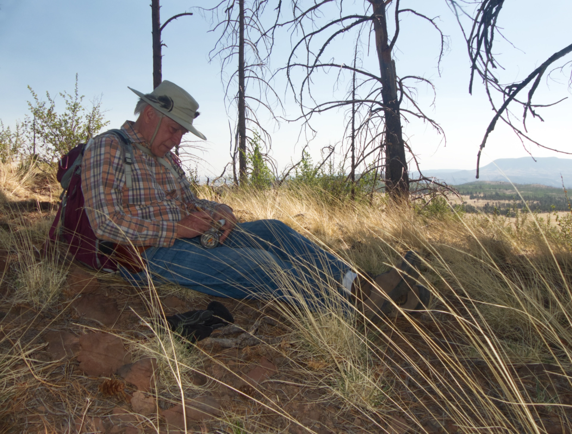
Dennis chatting with J on his handi-talkie while gusty winds pummel the summit.
By Saturday morning, temperatures had dropped into the 50s, and winds gusting to 40 mph made camping downright uncomfortable. We reluctantly packed up and headed out, hoping to find a spot with warmer temperatures and less exposure. We had to slide the broken awning into the RV through the rear window!
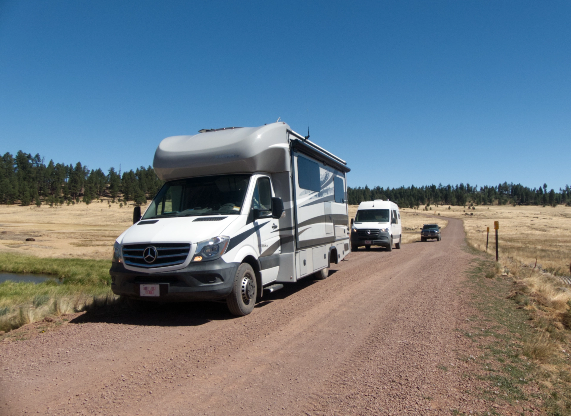
We got ourselves a convoy!
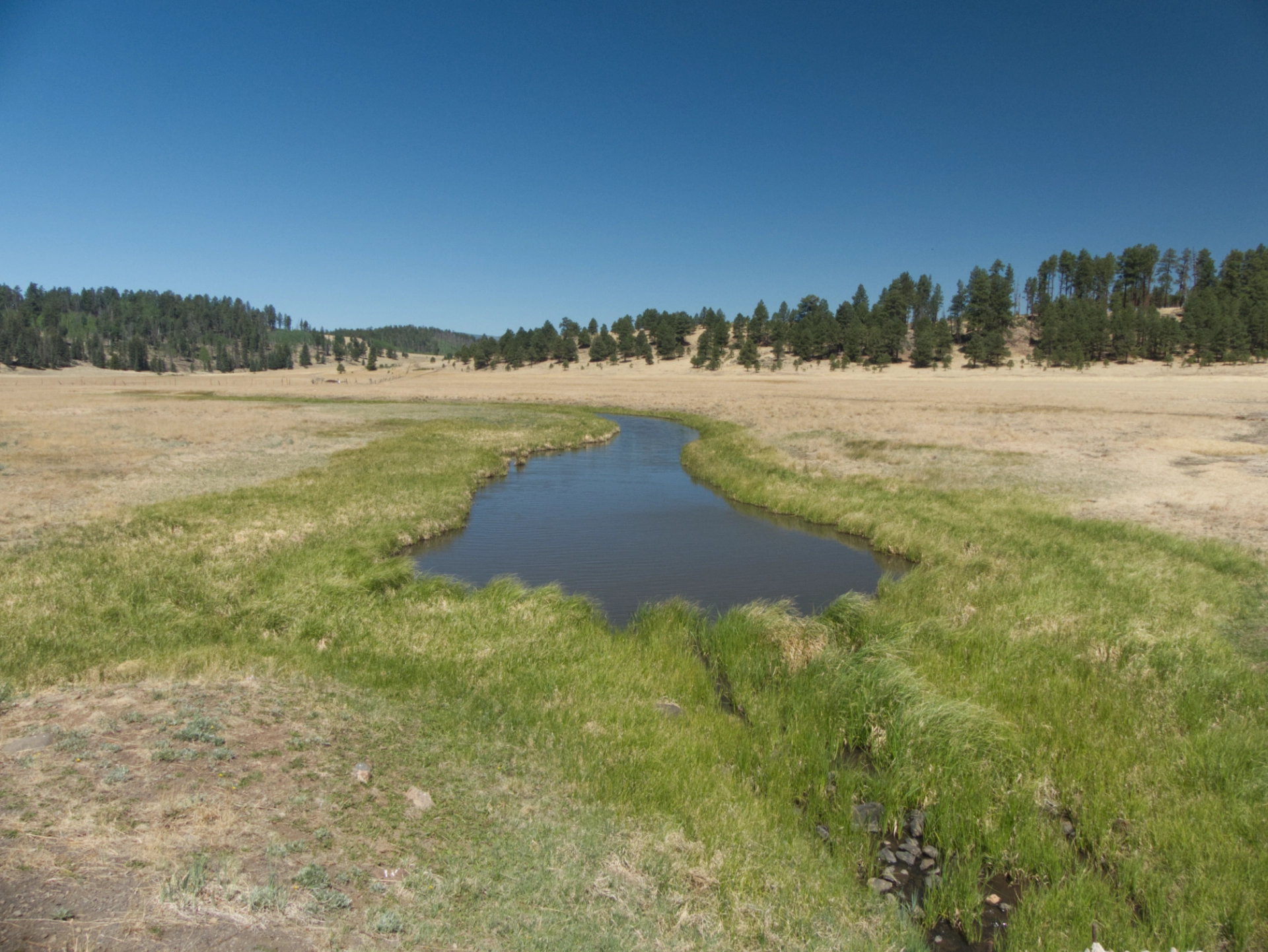
The drive out was spectacular, especially when we dropped into a low area where several springs fed a beautiful blue pond!
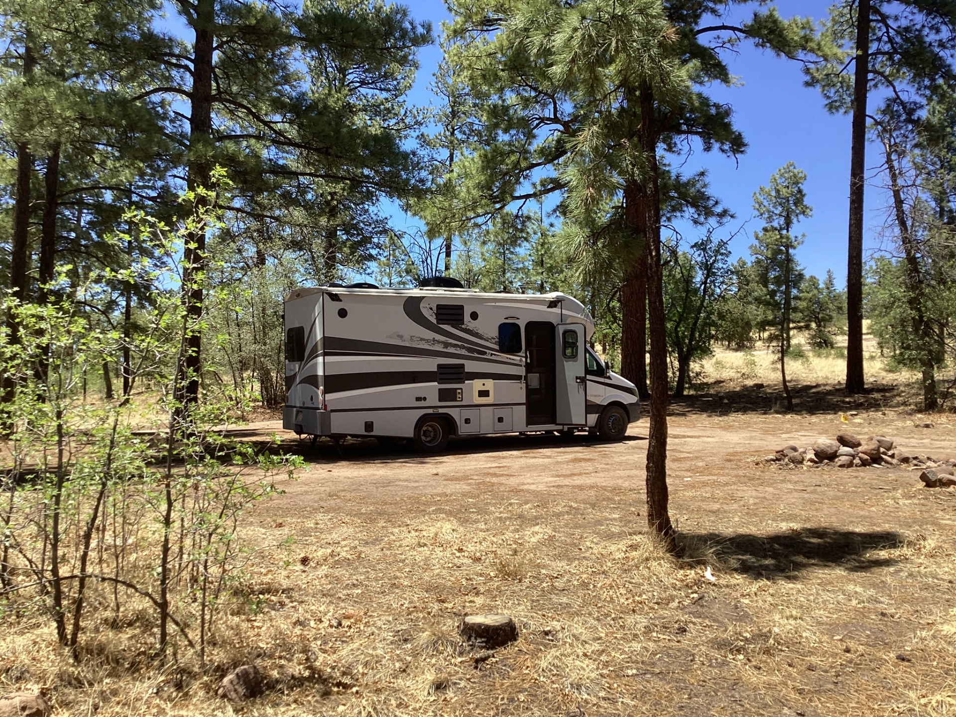
Dennis and I relocated to a pondo forest just shy of the Arizona border, at 8000' of elevation with moderate winds.
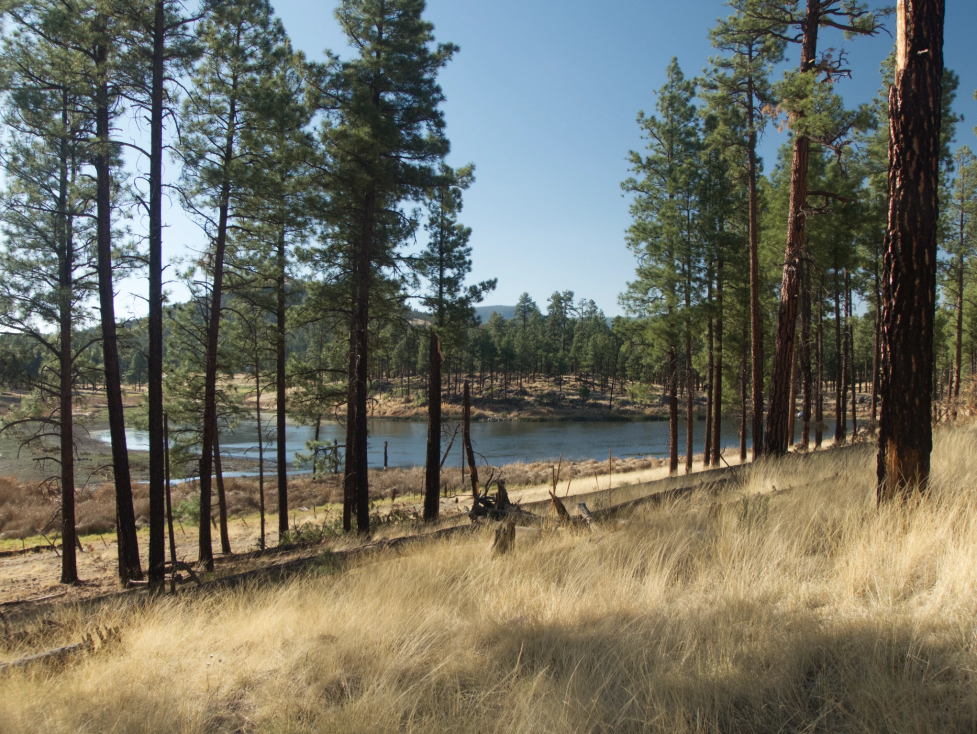
At sunset we crossed a meadow to an actual lake (with water).
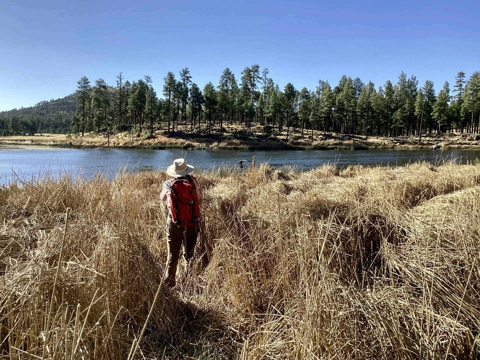
Photographing a great blue heron at Tenney Pond.

Below the pond was a sweet canyon, but a gnarly cliff made for a challenging scramble back to camp.
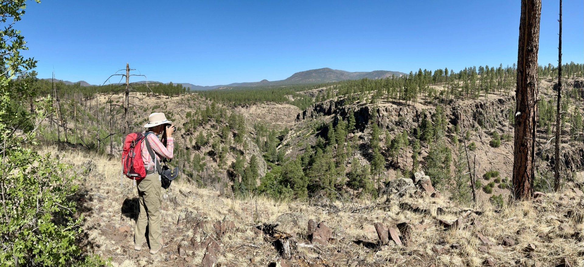
On the last morning of our trip, we followed a long-abandoned forest road to an overlook of the San Francisco River. There's a rugged canyon where the Frisco flows south out of Luna Lake. Then we packed up, had lunch at the Adobe Cafe & Bakery, and headed home.
We are greatly relieved that the Trout Fire has experienced minimal growth for the last few days. As of this writing, the fire is 21% contained at 46,796 acres. We cannot thank our firefighters enough for all they have down to save our community! There is rain in the forecast starting early next week. May Mother Nature assist their efforts, and give them a chance to rest and return home to their friends and families!
