General George Crook National Recreational Trail
We've spent a good bit of the summer of 2020 hiking and camping along the Mogollon Rim. And all the while I've been bedeviled by a dotted line that shows up on the old topo maps tracing the path of the General George Crook National Recreational Trail. We made numerous attempts to find the trail, but until recently, we were unable to locate any remnant.
A Walk Back in Time
The trail follows parts of a military road blazed in the 1870s from Fort Apache, near Whiteriver on the White Mountain Apache Reservation, to Fort Whipple in Prescott. It became one of the first major roads in Arizona, and for decades served as a supply and communications route.
In 1871, General George Crook came to Arizona Territory as Commander of the Department of Arizona. His orders were to subdue the Indians of the Territory and drive them onto reservations. Some refer to this forced exodus as the "Southwestern March of Tears". In August of that year, General Crook left Fort Apache with a unit of cavalry troops to locate and mark a supply road from Fort Apache to Fort Whipple. As they moved west across the Mogollon Rim, Crook realized that he must stay close to the edge of the escarpment to avoid the deep and rugged canyons to the north. He reached Fort Whipple in early September, and construction of the road begin in the spring of 1872. The first wagon supply train left Fort Whipple for Fort Apache in September, 1874. Martha Summerhayes, the first woman to travel over the road, was on that trip. She later wrote a book entitled, "Vanished Arizona", describing her travels in Arizona Territory.
The military road was in active use for 64 years, until construction of FR 300 in 1929. The General Crook Trail is 58.9 miles long, including 25 miles of the original route. It was retraced and remarked by the Grand Canyon Council Boy Scouts of America, Troop 26, beginning in 1976 as their Bicentennial Project. It became Arizona's first State Historic Trail in 1979.
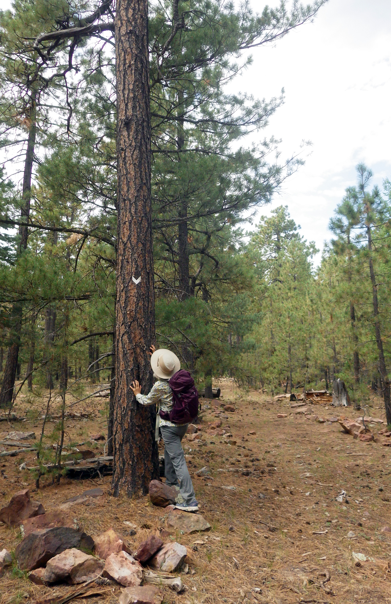
In the western/lower elevations they marked the trail with rocks in wire baskets and in the higher elevations, the trail is blazed with white or red metal “Vs” attached to trees.
,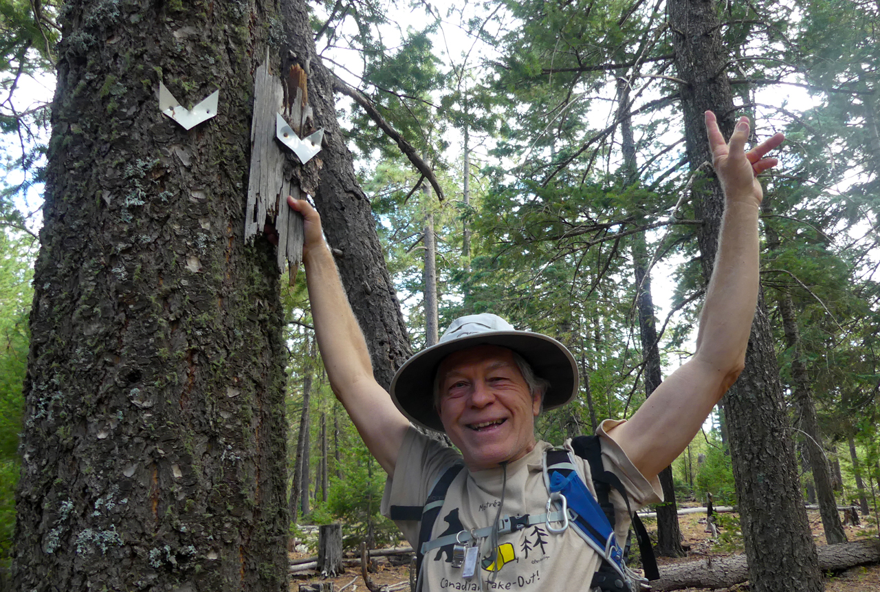
Channeling Richard Nixon: "I am on the Crook!"
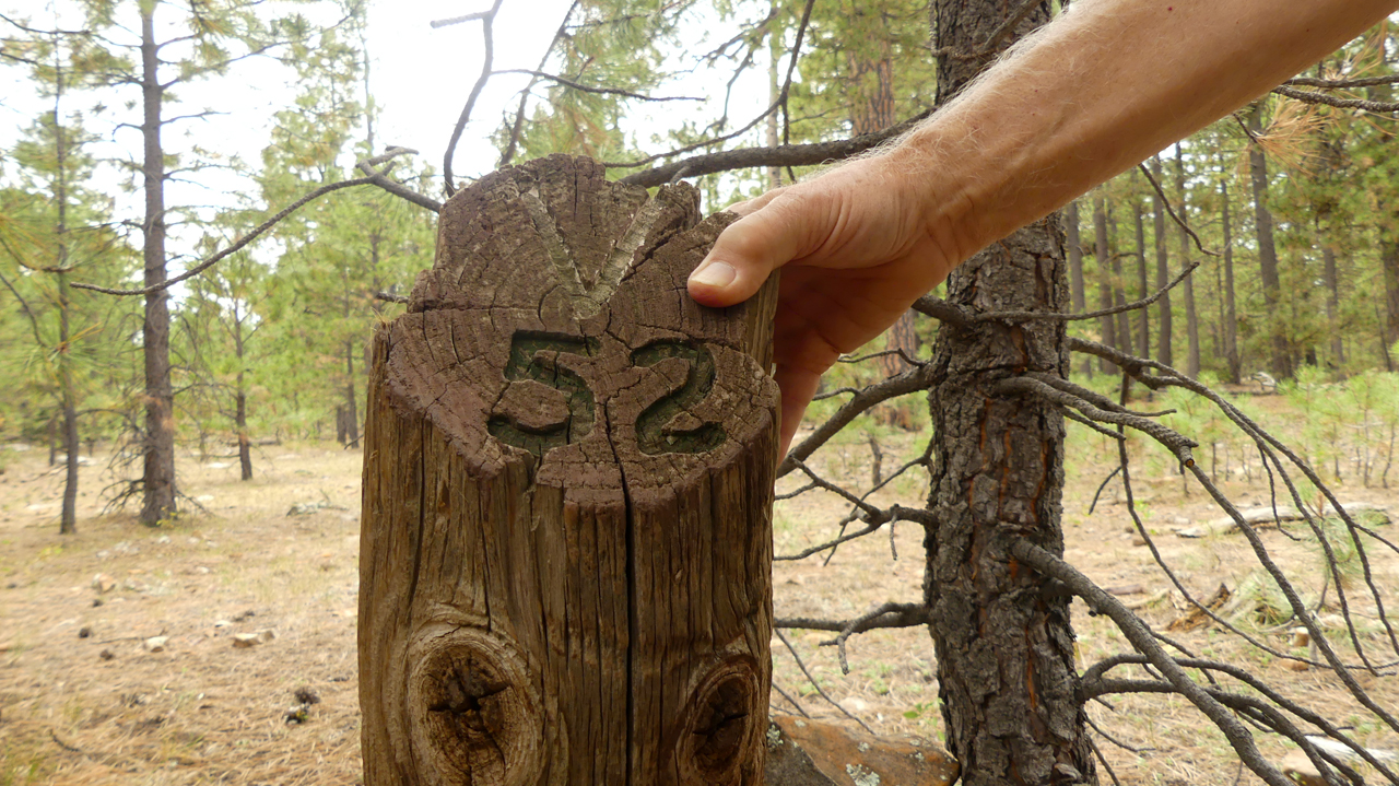
The trail was marked for distances from Fort Verde with a "V". "V52" means 52 miles from Fort Verde on the way to Fort Apache.
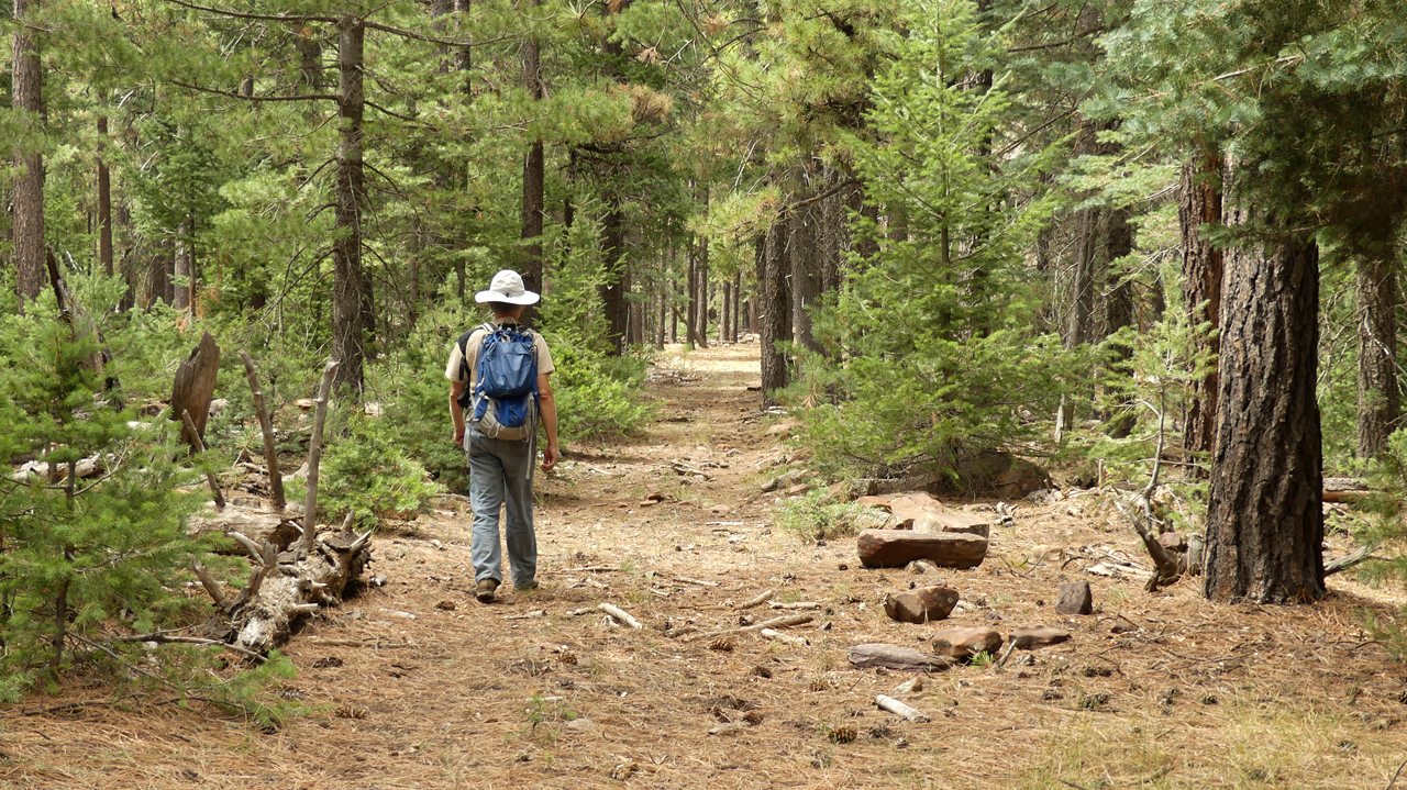
Of course, 1979 is now more than 40 years ago. The trail is infrequently used, and many of the chevron blazes have disappeared. It's easy to walk right past the trail unless you know the exact location. It was only after downloading a GPX track on Hike Arizona that we were finally able to locate it.
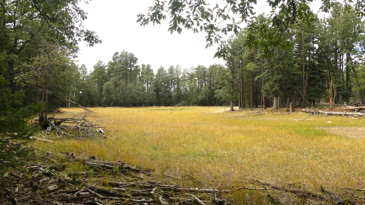
There are a number of tiny lakes along the edge of the Rim. Today, most of them are dry, but they would have served as important sources of water for early travelers along the Rim.
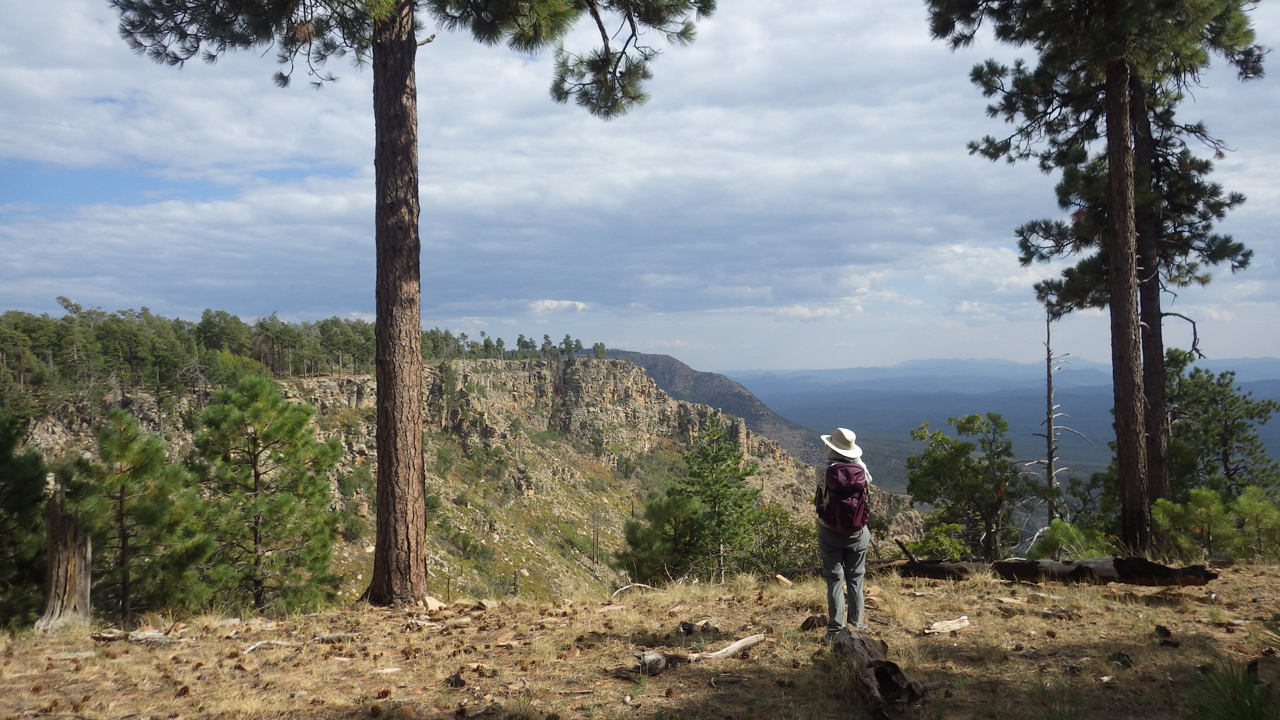
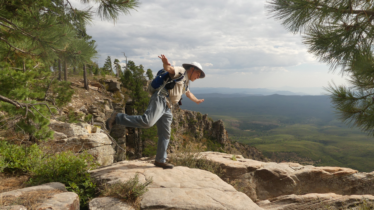
The Crook Trail winds through a lovely forest, and sometimes pops out on the Rim for an inspiring view.