White Mountains and the Mogollon Rim
August 6 to August 19, 2020
In the summer of 2020, Arizona was hit by a triple whammy:
- a deadly pandemic, rendered particularly severe in Arizona by a sluggish response from our Republican governor
- the Bighorn Fire, which tore through the Catalina Mountains and left them closed to hiking and camping until November 1
- last but certainly not least, a near-total failure of the monsoon, for the first time in my memory, coupled with sustained record-breaking heat
We stayed home just long enough to clean up, fix up and restock from our previous trip and then headed north once again, with no particular destination in mind.
We ended up in that land of rolling alpine meadows northwest of Big Lake. While biking the Apache Railroad Trail last year, we thought we saw a nice camping spot near the trail. It took some doing to get there, but once we wedged ourselves into the deep cinders, we had a wonderful spot on the edge of a small pond.
Beachfront property, Arizona style.
Elio enjoys a sunset walk in the meadow.
These flat, glassy alpine lakes are just puddles now, but we enjoyed watching a dozen Great Blue Herons, 40+ ravens roosting in the trees behind us, and countless Canada Geese.
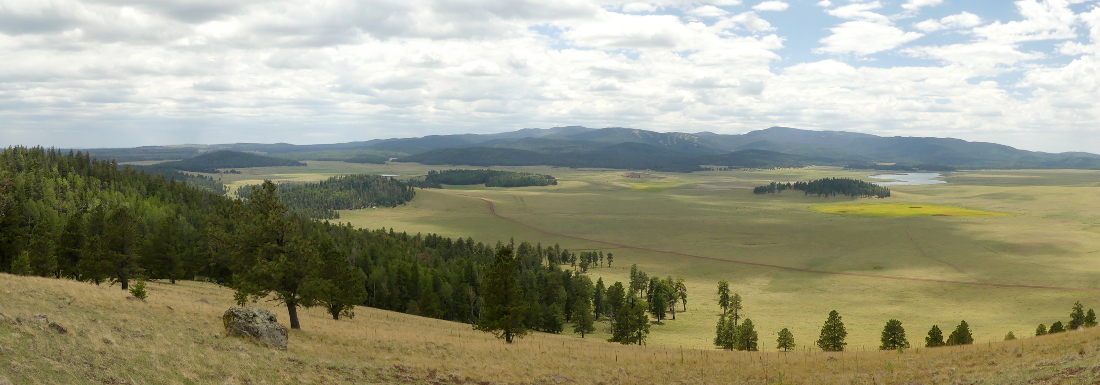
For our first hike, we bushwhacked to the top of Pole Knoll, the nearest mountain.
Find the RV!
As a Tucsonan in this monsoonless summer, I would not dare complain about the rain. Daily storms were enough to bring out this roadside crop of shaggy mane mushrooms.
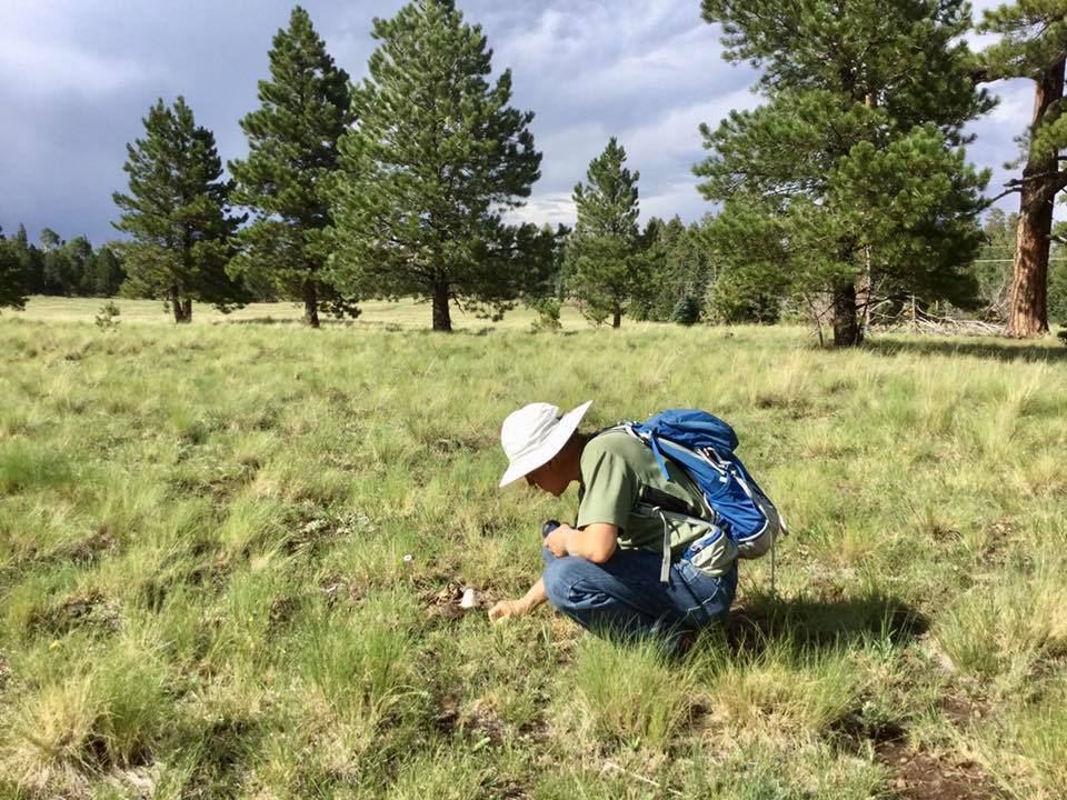
We nap, surf the internet and read while we wait for the storms to pass. It was late in the day when it finally stopped raining long enough for a short hike, not on the Very Popular Trail, where there are 20 cars at the TH, even on a rainy day, but a stone’s throw away, where it was just the two of us.
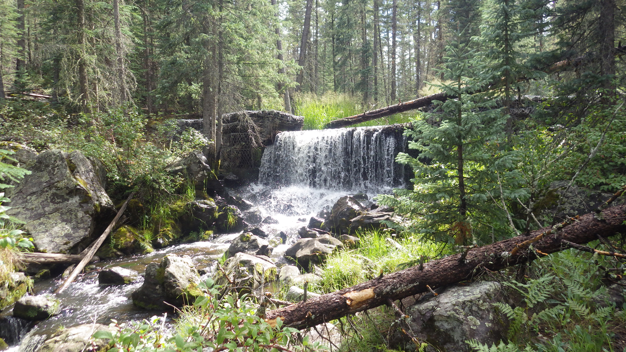
A stone dam on the West Fork Little Colorado River.
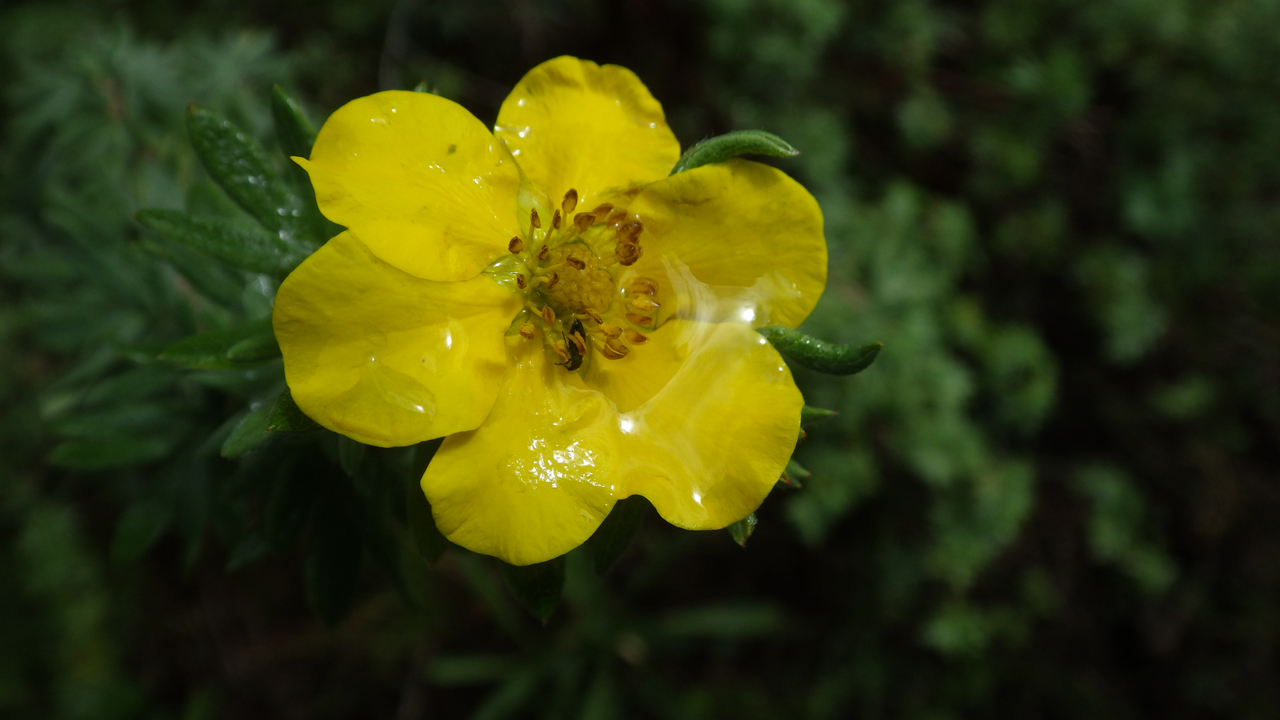
It was a lush environment, with a wealth of summer wildflowers, including this Shrubby Cinquefoil.
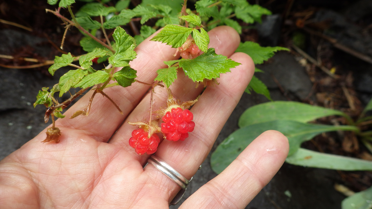
Wild raspberries
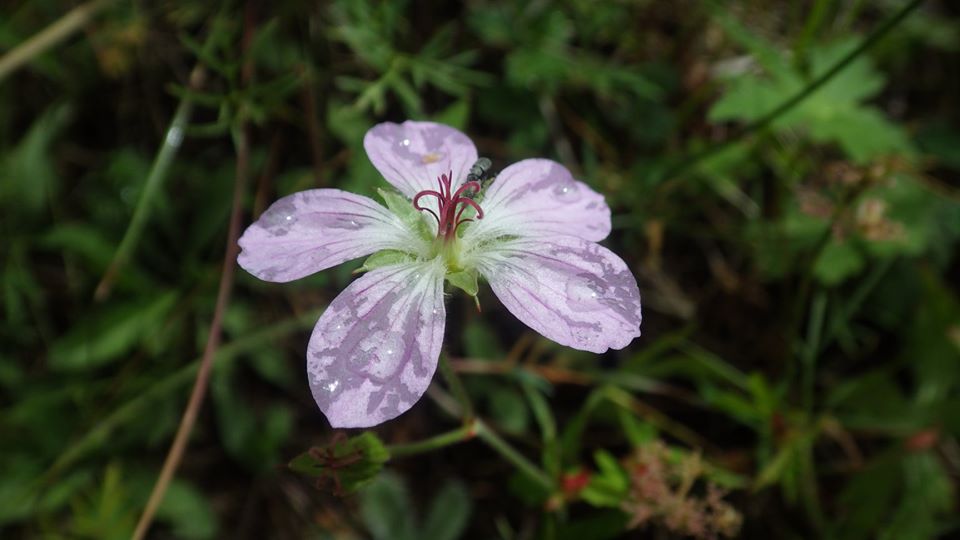
Richardson's Geranium
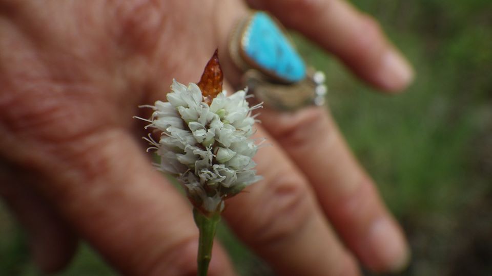
American Bistort.
Sunday's hike was a dreamy post-storm meander from bubbling spring to bubbling spring in a chain of broad alpine meadows.
Western Bluebirds are one of the dominant species here.
A variety of Blue-Eyed Grass.
East Baldy Trail
As much as I have come to love our off-trail adventures, I have to admit the Very Popular Trail lived up to its reputation. Cushy packed earth tread, moderate grade, spectacular rock formations and jaw-dropping views.
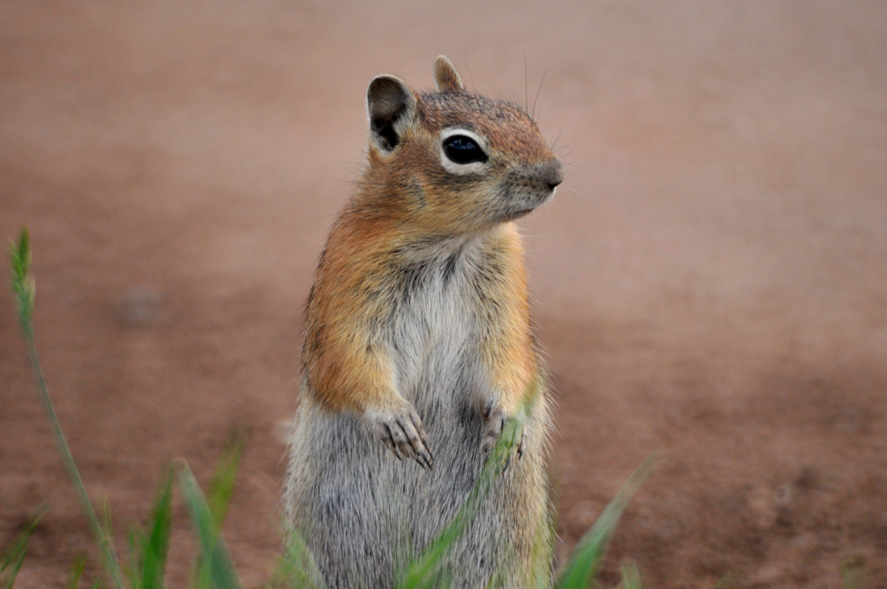
I would call this little fellow a chipmunk, but according to iNaturalist, it's a Golden-Mantled Ground Squirrel. They are everywhere in the White Mountains!
We are so accustomed to northern Arizona's vast Ponderosa Pine forest, but in this part of the state, it's a mixture of Douglass Fir and Engelmann Spruce. Some of the firs are enormous. Dennis estimated this age of this fallen giant and 350-400 years.
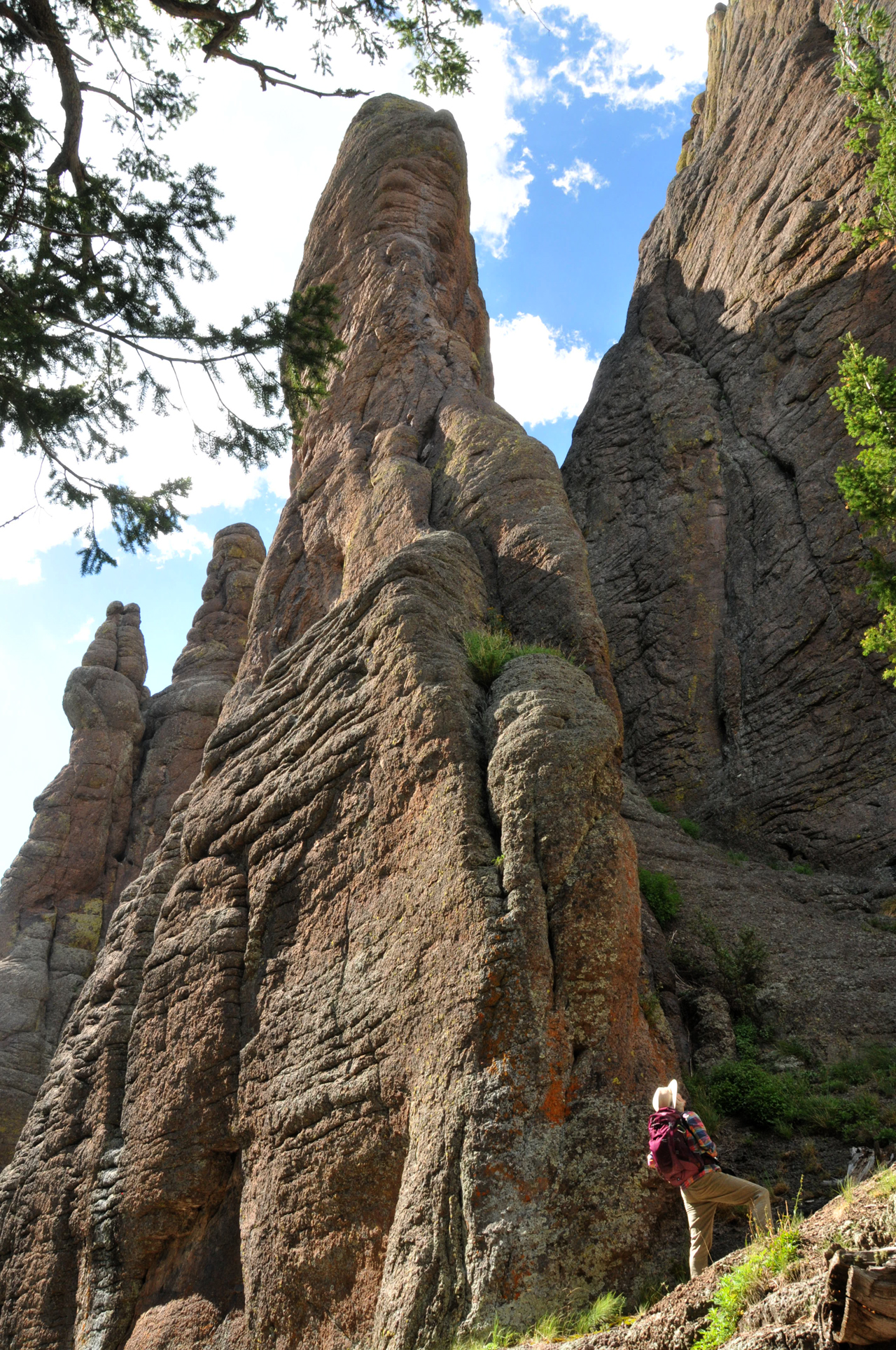
A few miles in, the mountain erupts in spectacular lumpy, liquid rock formations reminiscent of the Chiricahuas.
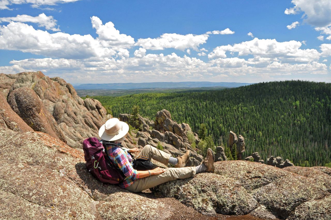
We must be acclimating, because we easily managed seven miles RT with a 1000’ elevation gain starting at 9400’.
10,200’ and we can still breathe!
We turned back at a promontory at an elevation of 10,400'.
The first few miles of this hike pass through a chain of sweeping alpine meadows, and the East Fork Little Colorado winds through it, curlier than a pig’s tail.
Harebells are everywhere here but just because they are common doesn’t mean they aren’t gorgeous.
Parry's Gentian.
If you go: Be aware that even early on a Monday morning, the parking lot was full.
Dog tired after our hike, we wandered down a rough forest road and stumbled onto a fantastic campsite, on a ridge overlooking a vast alpine meadow with a tiny lake shimmering in the distance.
As the dominant cat, Madeleine likes to be in the driver's seat.
A pair of Yellow-Headed Blackbirds at tiny Crescent Lake, engaged in animated conversation.
"Look at me when I talk to you!"
Bear Canyon Lake
With the forecast calling for several days of rain, we decided to take a side trip to the warmer, drier Mogollon Rim. We had packed our inflatable kayak, so we were itching to try it out.
We generally steer clear of the crowded Rim lakes, but we hoped that we could avoid the crowds by visiting during the week and aiming for a lake with no drive-up access.
The dispersed campsites along the road to Bear Canyon Lake were as bad as any on the Rim, stripped of vegetation and covered in trash, and there was no shortage of young men tearing up and down the road in their ATVs, kicking up as much as dust as possible.
We backpacked the boat a quarter mile down a steep and badly worn trail, and managed to find a relatively quiet spot along the shore to inflate it and paddle away. And once clear of the shore, we had the lake more or less to ourselves.
The Itsy Bitsy Teeny Weenie Yellow Sevylor Tahiti.
At the far end of the lake, we found a small peninsula and a sandy beach.
Meandering up one of the two small creeks that feed Bear Canyon Lake. It's hard to believe there is enough water rolling north off the Rim to fill a lake 50 feet deep!
On the far side of the lake, an osprey screamed overhead, and then we spied the nest in a tall, dead tree, with at least two inhabitants.
The following day, we explored an alternate access, with fewer yahoos and a longer hike. For a moment, I felt like I was bathing in one of the boreal lakes of far-away Québec.

The price of admission was a bone-jarring backroad where a large stone became wedged between Dyna's rear tires. Dennis and I wailed on it with an axe and hammer for an hour. Sparks flew, but the stone was unmoved. Then who should wander by but Eb E., who provided a tow strap that Dennis wrapped around the rock and drove onto, using the weight of the vehicle to eject the rock. Photo by Eb.
And there it is, bruised and blackened by the encounter.
A watery sunset on the Rim.
Luna Lake
Daytime temperatures pushing 90 degrees sent us dashing back to the White Mountains, this time aiming for Alpine and a possible ascent of Escudilla Mountain. Late in the afternoon, we started up the access road, searching in vain for an empty campsite. About three miles in, the road began climbing very steeply. When we felt Dyna hesitate, we looked for a spot to turn around. And once again, we were reminded that she is not a 4WD high clearance vehicle, and even a slight tilt can leave us tottering on two wheels.

We crept back downhill and took refuge at the Luna Lake Campground. Our friend Curtiss S. created this wonderful sketch to commemorate the event.
Luna Lake is an alpine lake that sits at 7890 feet. It's only about 8' deep on average, and like many lakes in this area, it is subject to dense algal blooms during the summer. But the marshy area along the shore is rich in summer wildflowers and wildlife.
Upright Prairie Coneflower.
Great Blue Heron
Nodding Onion.
Alpine Thistle.
The next day's planned hike was the Luna Lake Trail, an 8-mile loop along a ridge overlooking the confluence of the San Francisco River and Stone Creek. But the trail has been discovered by ATVs so of course it is totally trashed. After making a few roadway "improvements", we had to head downhill in a hurry.
Streamside siesta.
Just below Luna Lake, the San Francisco tumbles into a surprisingly steep and narrow canyon. We were surprised to discover that the only way out was a difficult scramble up a steep and stony cliff face.
Cardinal Catchfly.
Just south of Alpine that evening we were wowed by an enormous herd of elk, more than 100 animals, just chilling at the sewage treatment ponds.
Thompson Trail
The next day we returned to our favorite campsite on a ridge south of Greer. The "neighbors" are starting to recognize us as members of this makeshift community. On the plus side, they always yield to oncoming RVs. On the down side, gunfire is part of the evening soundscape.
The next morning we set out for the Thompson Trail, which runs along the lovely West Fork Black River.
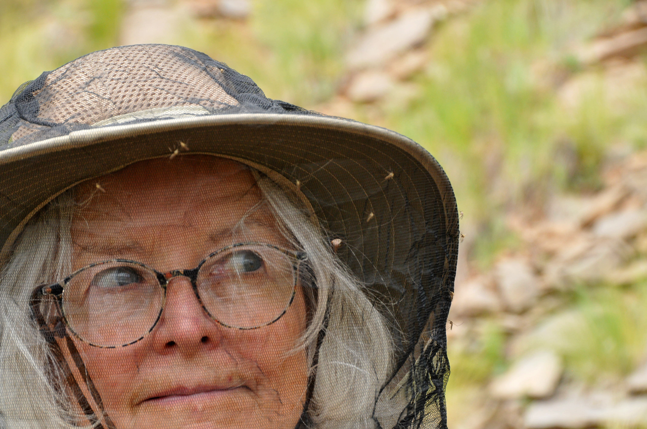
The mosquitoes were ferocious! I wore a headnet with long pants and a long-sleeved shirt all day and they still ate me alive.
A tiny waterfall and delicious pool on the West Fork.
New Mexican Checkermallow.
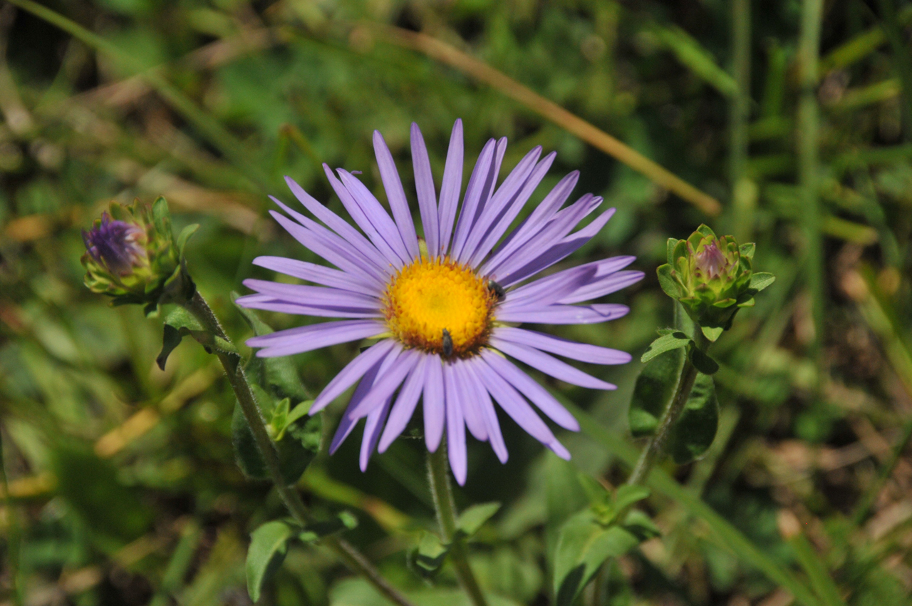
Alkali Marsh Aster.
Oregon Checkermallow.
Fireweed.
It looks like Queen Anne's Lace, but is more likely Gray's Lovage.
Melancholy Thistle.
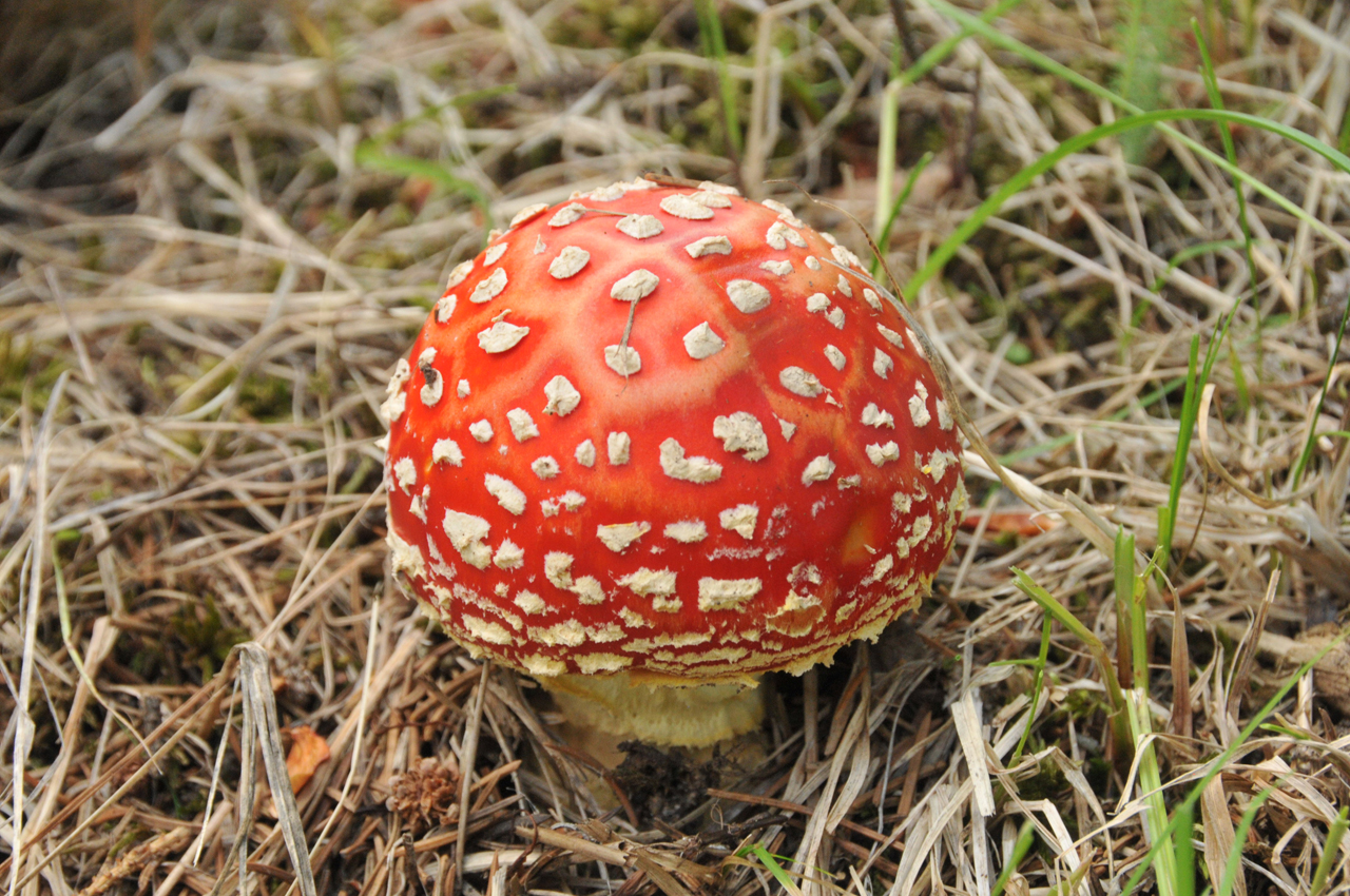
Amananita Muscaria (Fly Agaric)
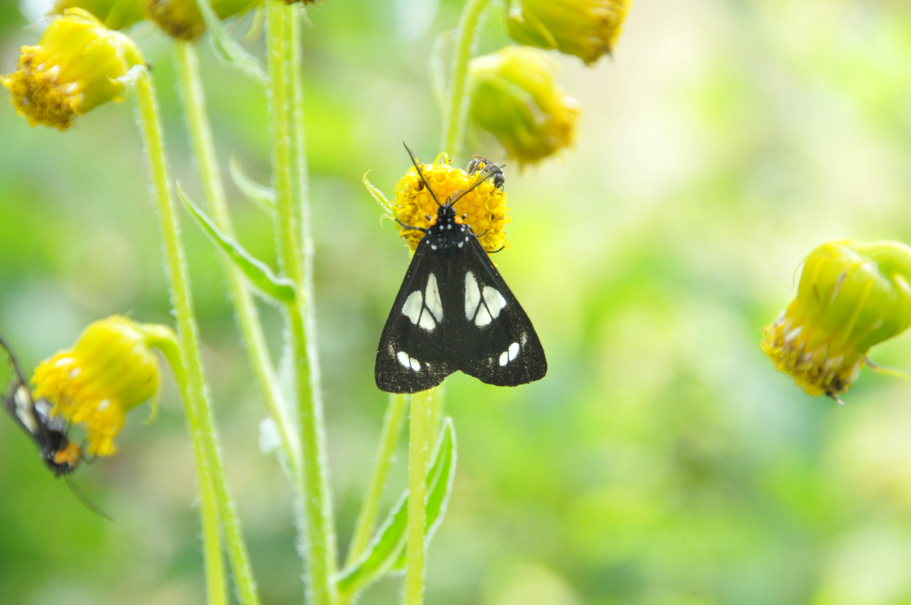
Gnophaela Discreta.
At the confluence with the East Fork Black River.
I'd read reports of a parallel trail along the route of the former White Mountain Scenic Railroad. So we skittered up the hill to see if we could find it.
Now abandoned and covered in deadfall, this line had an amazing history. It began as an extension of the McNary Railroad, constructed in 1916 to transport logs from the White Mountains to Holbrook. In the 1960s, as the logging business shifted to truck transport, an engineer launched a scenic route for tourists and extended the line from McNary to Maverick, south of Reservation Lake. But in 1976, the White Mountain Apache Tribe shut down the railroad since it crossed reservation land.
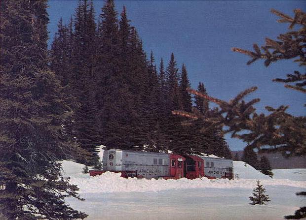
The Apache Railway crossing the Black River. From the January, 1963, issue of Arizona Highways.
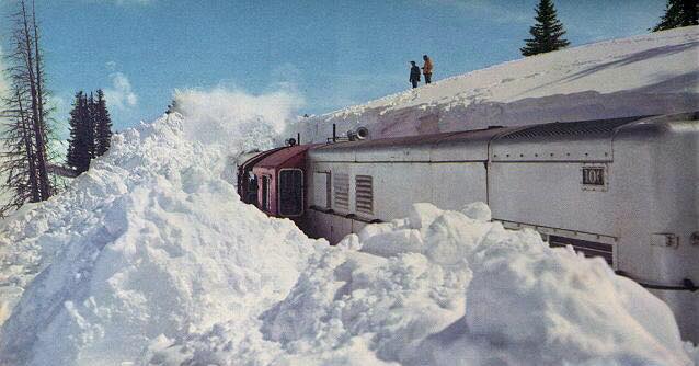
The Apache Railway ploughing through a "cut" in the snow. In the winter of 1962, Maverick, AZ, received nearly 100 inches of snow in one month.

Page from a brochure promoting "Arizona's Only Steam-Powered Passenger Train: White Mountain Scenic Railroad." Part of NAU's digital archives.
It was a cloudy day so the light was flat. But here you can see the marshy trail along the West Fork Black River, and on the right, the roadbed for the former White Mountain Scenic Railroad.
I would have called it a "chipmunk", but iNaturalist says it's a Golden-Mantled Ground Squirrel". So fancy!
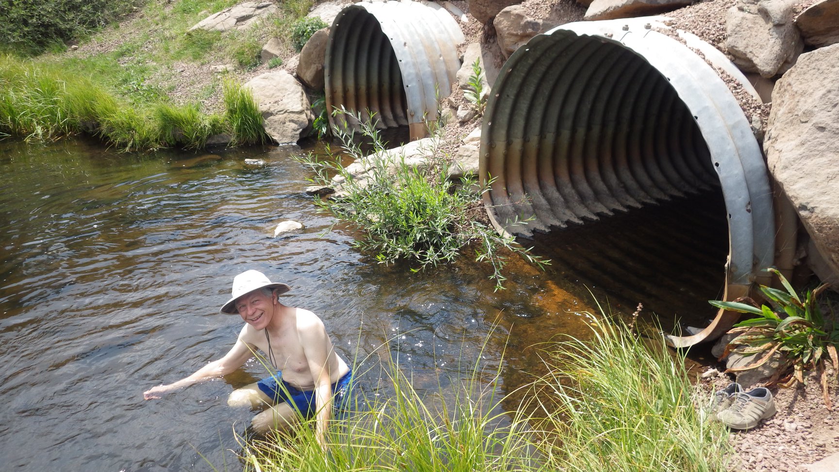
A refreshing dip at the trailhead took away some of the sting.
This is why we bought you an RV. So we could return home and find you enjoying your new cat pillow on the dash.
