Deadman Mesa
May 27-28, 2006
When I first moved to Arizona, I stopped hiking about March, reasoning that the weather was too warm. Now that I've cast reason aside, the first few days of triple-digit temperatures find me feverishly poring over topo maps in search of new routes to my favorite watering holes. This year posed a special challenge because our first free weekend fell on Memorial Day, which meant there would be crowds at my usual haunts. But with a little help from David, we developed a wet route well off the beaten path -- almost too well off!
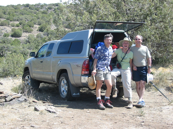
Photos by David, Dennis and Marion
TopoZone shows a faint dotted line running across Deadman Mesa and down the nose of a ridge to That Creek in Northern Arizona. But extensive surfing produced only a few brief references to any trails in this area. And while I'm usually reluctant to provide much detail about my special places, this area could use a bit more traffic just to keep the trails open! Access is via a 4WD road west of Strawberry. We drove up the night before and camped in the back of the Taco Ma at the That Creek in Northern Arizona trailhead, where carloads of boisterous hikers rolled in UNTIL 2:00 IN THE MORNING, stereos blasting, car doors slamming, headlamps bobbing down the trail, oblivious to the many campers nearby. WERE YOU ALL BORN IN A BARN??!
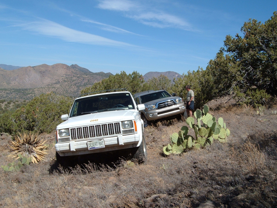
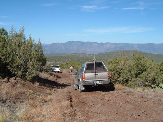
David met us at the Strawberry Inn next morning and we caravaned to FR 591 just past the That Creek in Northern Arizona trailhead. This route leads six miles across a flat, featureless mesa littered with tire-biting bits o' basalt. Don't even think about taking a passenger car down this road. It took us nearly two hours with high-clearance 4WD.
Unless you have a death wish or something to prove, park at the flat spot with the fire ring at the first of two hairpin turns, elevation 4800. The "official trailhead" is about another half-mile downhill, past the remains of an old ranch and (dry) Deadman Tank.
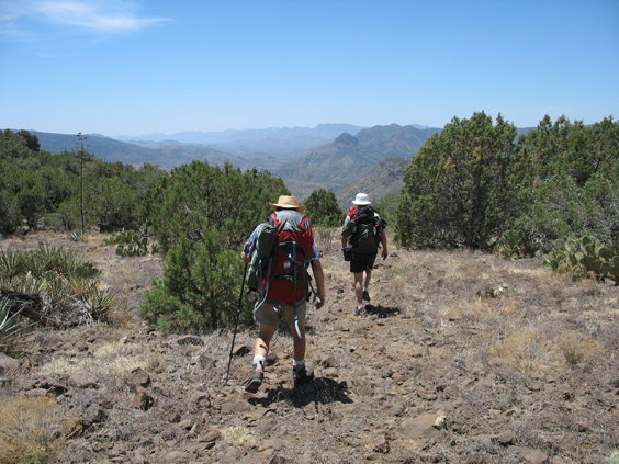
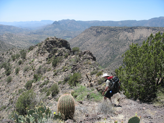
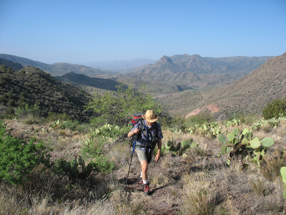
The trail signs are long gone, but an ATV track is well-marked with cairns. The first section is a deadly boring trudge across a bleak, dried-up mesa. Even animals avoid this place. We saw one mulie, a couple of jackelopes and lots of evidence of javelinas, but otherwise the mesa was eerily quiet.
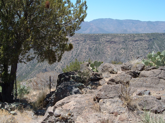
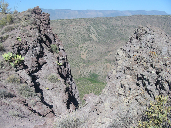
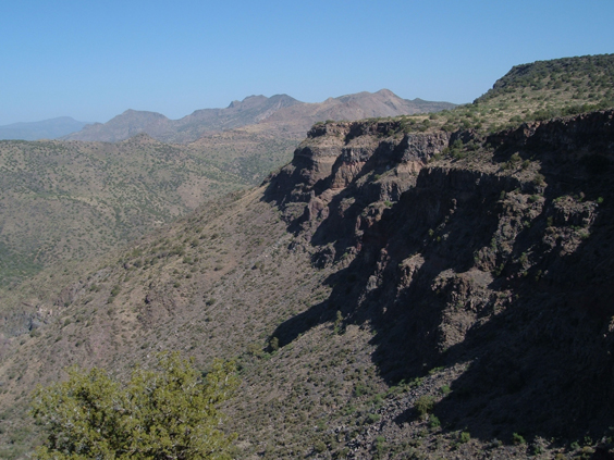
About two miles out, at an elevation of about 4400 feet, the mesa narrows to a nose dividing That Creek in Northern Arizona from Hardscrabble Creek. The tip of the nose affords the first heart-stopping glimpses of a maze of steep-walled canyons and the Verde River shimmering in the distance.
Pass through the old gate, and, like Alice in Wonderland, you'll find yourself in another world.
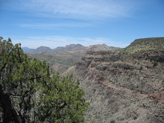
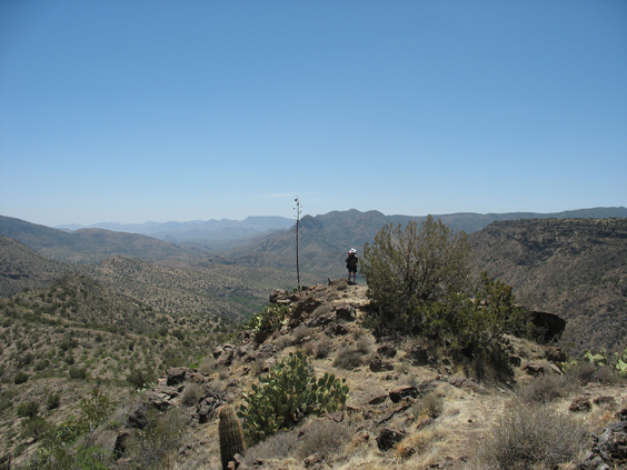
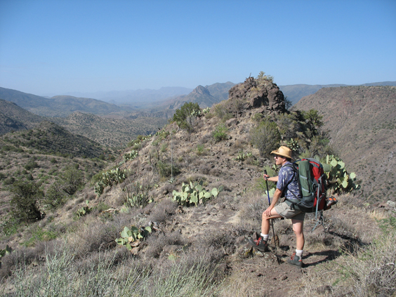
The trail tiptoes along the backside of an imposing basalt fin.
There are knee-weakening views of the 2000-foot drop to That Creek in Northern Arizona from two breaks in the fin.
The fin terminates about 2-1/2 miles out at an elevation of approximately 3700 feet.
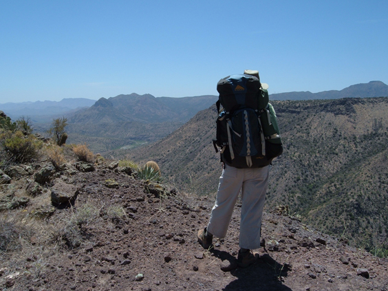
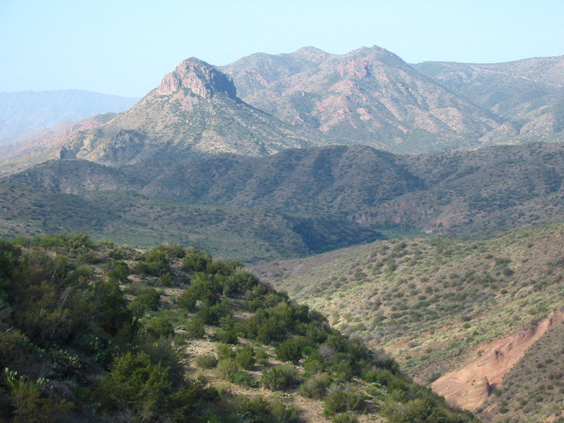
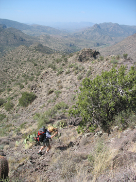
The map shows the trail continuing over the nose of the ridge, but it actually hooks west and plummets 1100 feet to the streambed.
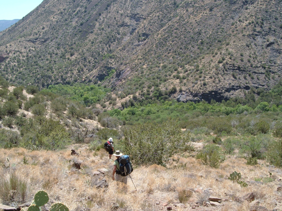
The relentless descent over loose stones made the last mile very difficult for me, but soon we could see the path of the stream marked by loops of lime green vegetation, and we were lured onward by the siren song of a thousand waterfalls.
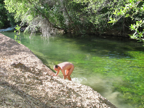
2:20 pm, elevation 2600 feet, temperature 86°, everything off, everybody in the water.
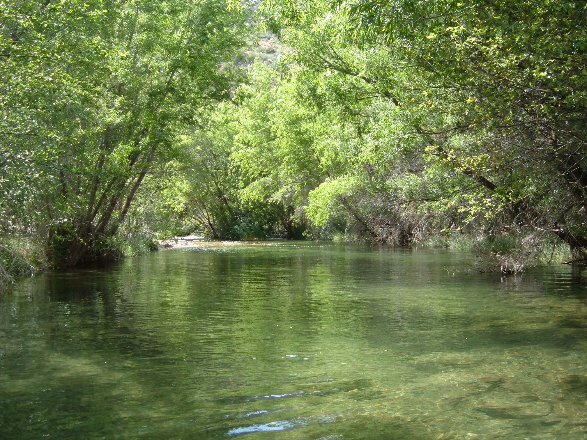
That Creek in Northern Arizona is a desert miracle, flowing year 'round with astonishing depth and velocity through the heart of the driest desert. The water was a very temperate 61°, making it warm enough for extended swimming.
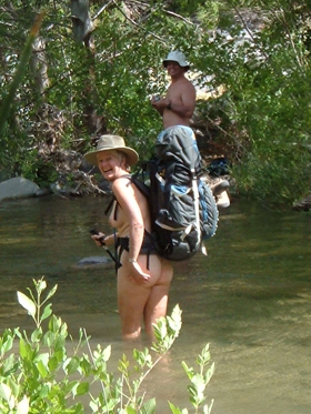
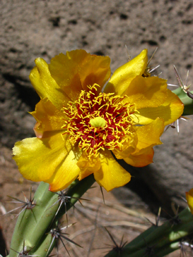
Left: The author demonstrates the proper technique for backpacking across an Arizona stream. Right:Deadman Mesa is home to a variety of staghorn cholla with unusual bronze-yellow blossoms.
We toyed with hiking another 2-3 miles to the confluence with the Verde River, but a series of stunning pools convinced us to stay right where we were. We set up camp on a sandy point across from a mottled limestone cliff.
Minus the packs, we explored downstream to the red sandstone swirls that David photographed two years ago when he trekked down That Creek in Northern Arizona to the Verde River confluence.
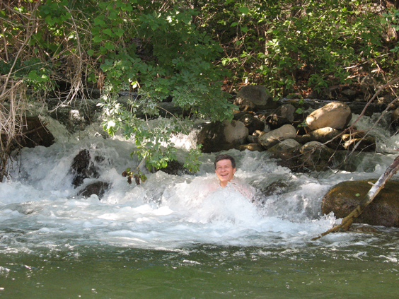
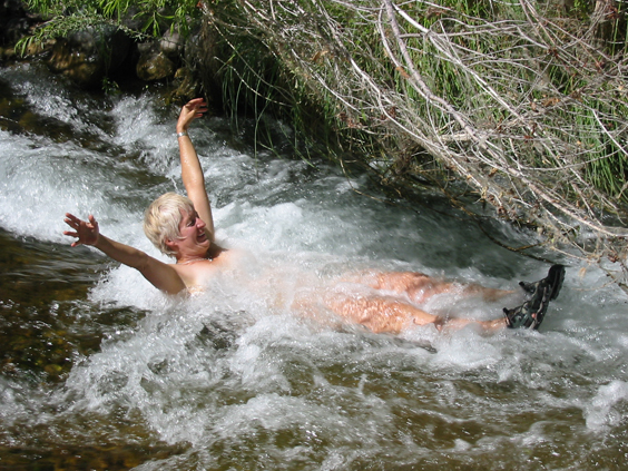
Dennis bubbles in the natural Jacuzzi.
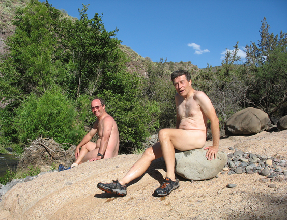
Men with hot rocks: David and Dennis warm their cockles after a refreshing dip.
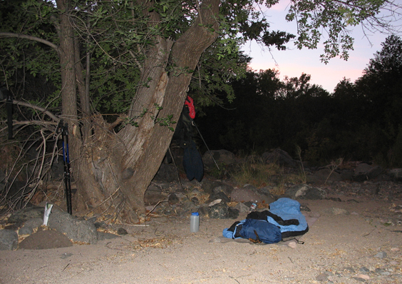
A fanatical convert to lightweight camping, David has dispensed with the tent, the tarp and even the bivvy sack, and his campsite now consists of a sleeping bag and a ground cloth. Dennis and I dozed on and off while watching the handle of the big dipper swing around in the sky.
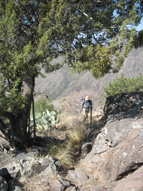
With a long hot climb ahead of us, we were up at 5:30 and on the trail by 7:00.
Scattered clouds and a light breeze graced our steps, and we reached the tip of the fin around 8:00.
Total hiking time was 3-1/2 hours out and four hours back. Distance was about four miles each way, with an elevation loss/gain of 2200 feet.
This would make a great three-day trip, with an extra day for the out-and-back to the Verde River. If you are aiming for the Verde, be aware that the streambed is choked with thorny vegetation and a better route would be overland with a GPS and good maps.
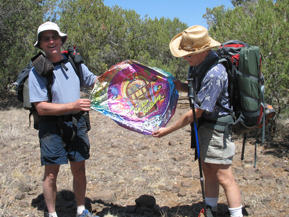
The tedium of the long mesa march was broken when David discovered a Mylar balloon in the brush. Elvis "Rockin' Happy Birthday" balloon: $44.95. Look on David's face when he poked it with a stick and it squealed, "happy birthday baby gonna rock you day and night!": Priceless.
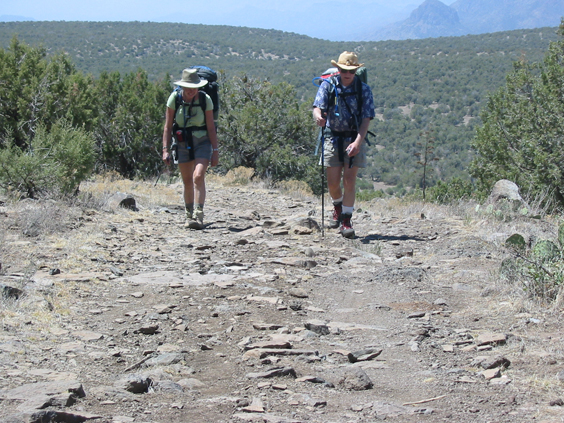
Tired campers. Dennis and Marion trip over their tongues for the last half mile.
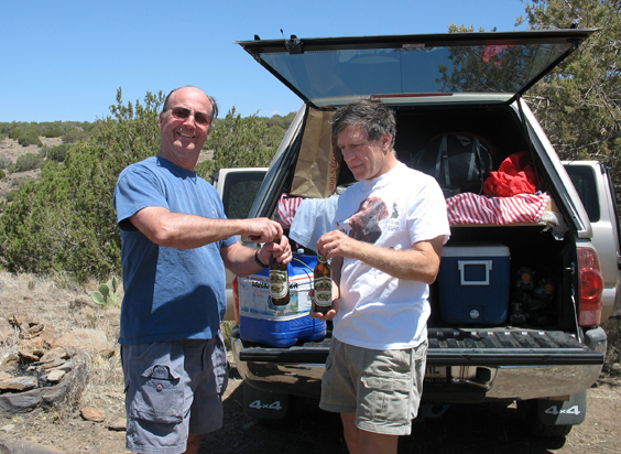
Tailgate Party! Crack open a cold one, then call Kathy in Seattle to remind her of all she's missing!
