Haigler the Hard Way
May 13-15, 2020
After returning home from the Mogollon Rim via the Chamberlain Trail two weeks ago, we were wowed by the lush beauty of Haigler Creek. Several streams plunge from the lip of the Mogollon Rim to the floor of the desert — the Verde, East and West Clear Creek, Horton Creek, Fossil Creek — but Haigler Creek first wanders tantalizingly west through the Tonto National Forest before joining with Tonto Creek in the Hellsgate Wilderness. This is a lightly populated area with very limited access. There's a famous backpacking route to Hells Gate, but at 14.5 miles with a 3300+ elevation change, it's well past my capability. So I got pretty excited when I found references to some alternate approaches to the creek. We gave ourselves three days to scout the area.
We started with FR 129/FR 133 via Young, a roughly 13-mile 4WD road to the Smoky Hollow trailhead. But clearly this route is well-known to off-roaders, and past Thurlo Tanks it was hopelessly gouged out by less cautious drivers. Not a good route for a solo vehicle. A great spot for lunch, though.
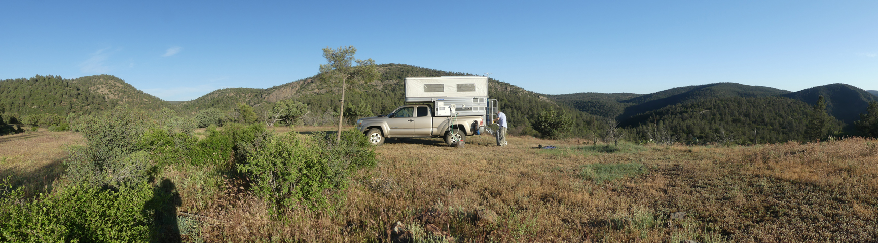
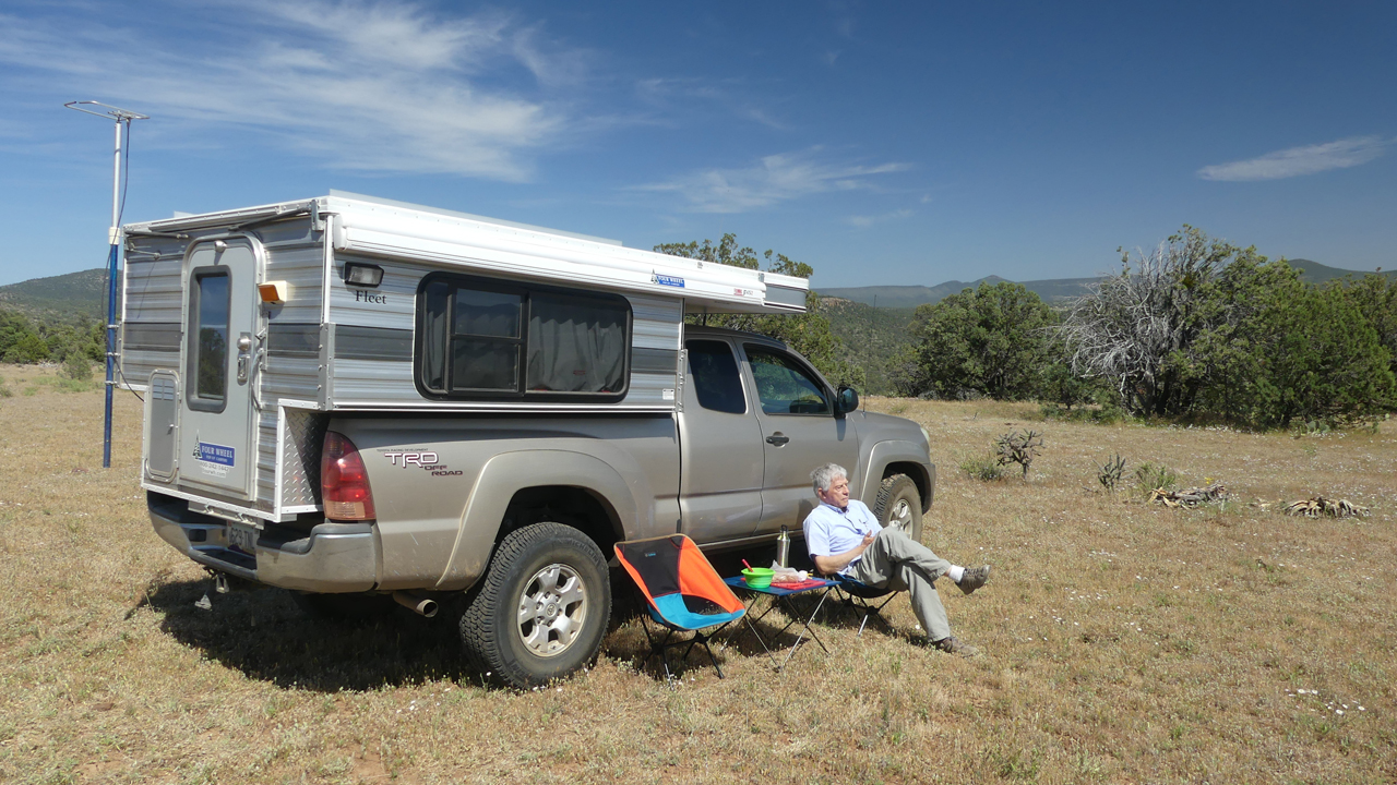
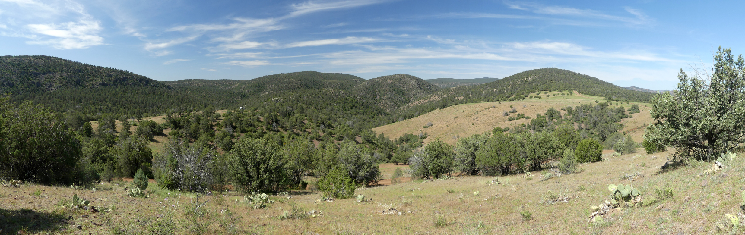
Our next destination was FR 848 north of Fisherman's Point, which theoretically leads about 1½ miles to a point where we could hike down to Haigler. It was, if anything, even more deeply gouged by overuse, with the additional challenge of 400-foot drop-off on the passenger side. And there were zero options for camping. On to Plan C, a possible campsite I noted on World Imagery, on a knoll a few thousand feet above the creek. It was perfect — a grassy meadow with wraparound views and even a great radio horizon (scroll for a panorama).
The next morning we set out for the creek, which was nearby but protected by an impenetrable wall of scrub oak and manzanita.
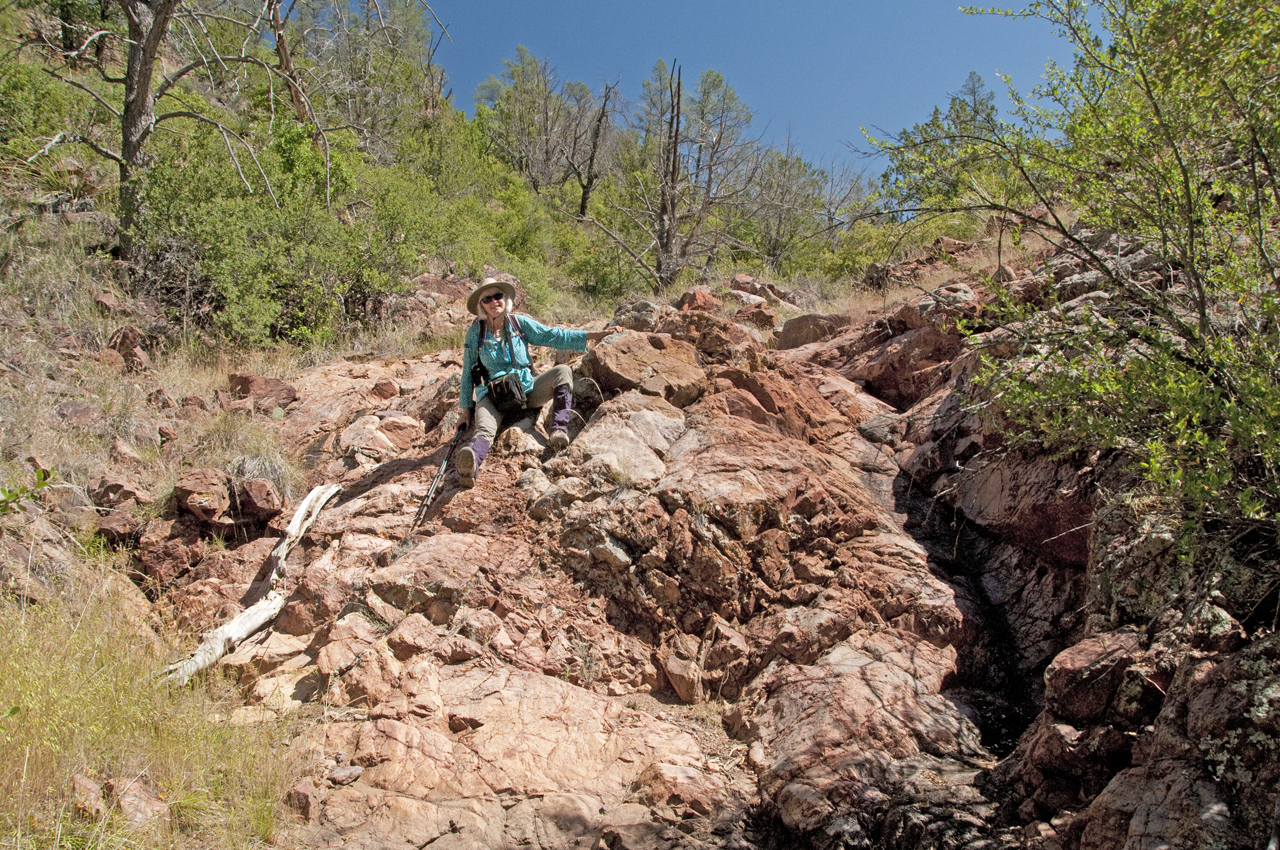
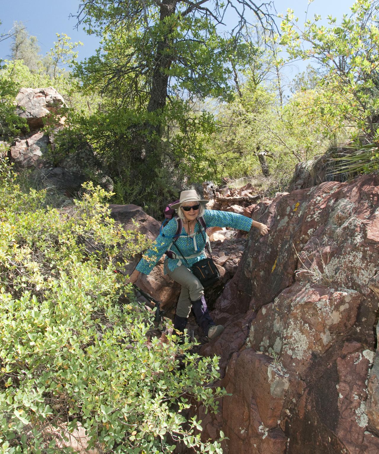
So we dropped into a dry wash that eventually emptied into the creek. It was pretty steep with a number of dry waterfalls to negotiate, but it beat the alternatives.
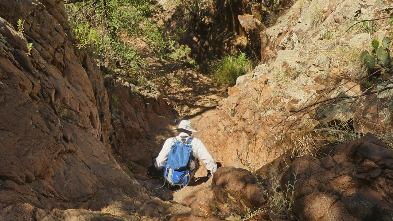
From the final and steepest drop, we could hear rushing water, so there was no choice but to press on.
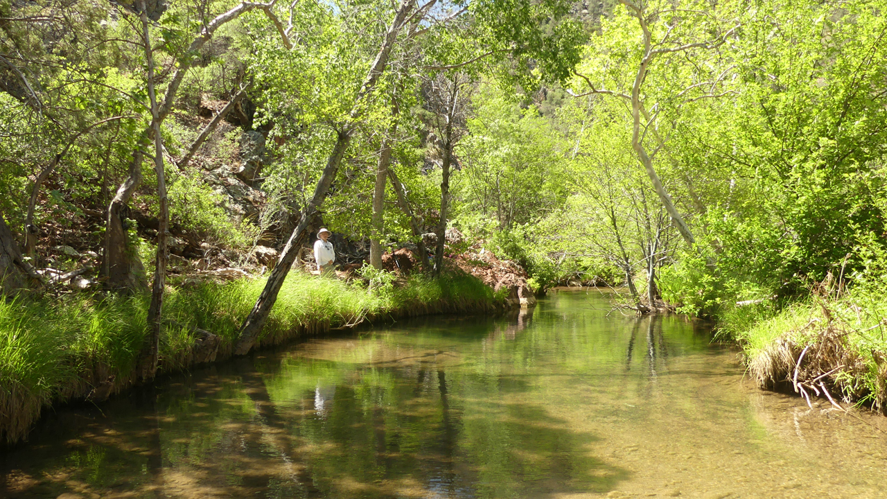
And oh what a reward for our effort!
Haigler Creek was flowing fast and strong, over my head just below the red rocks. Like Fossil Creek, it is crystal clear and margarita green, with a light coating of travertine.
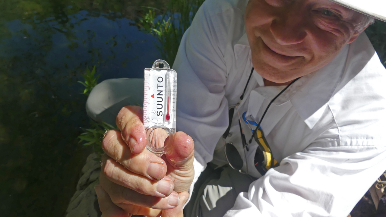
It was also 53°F!
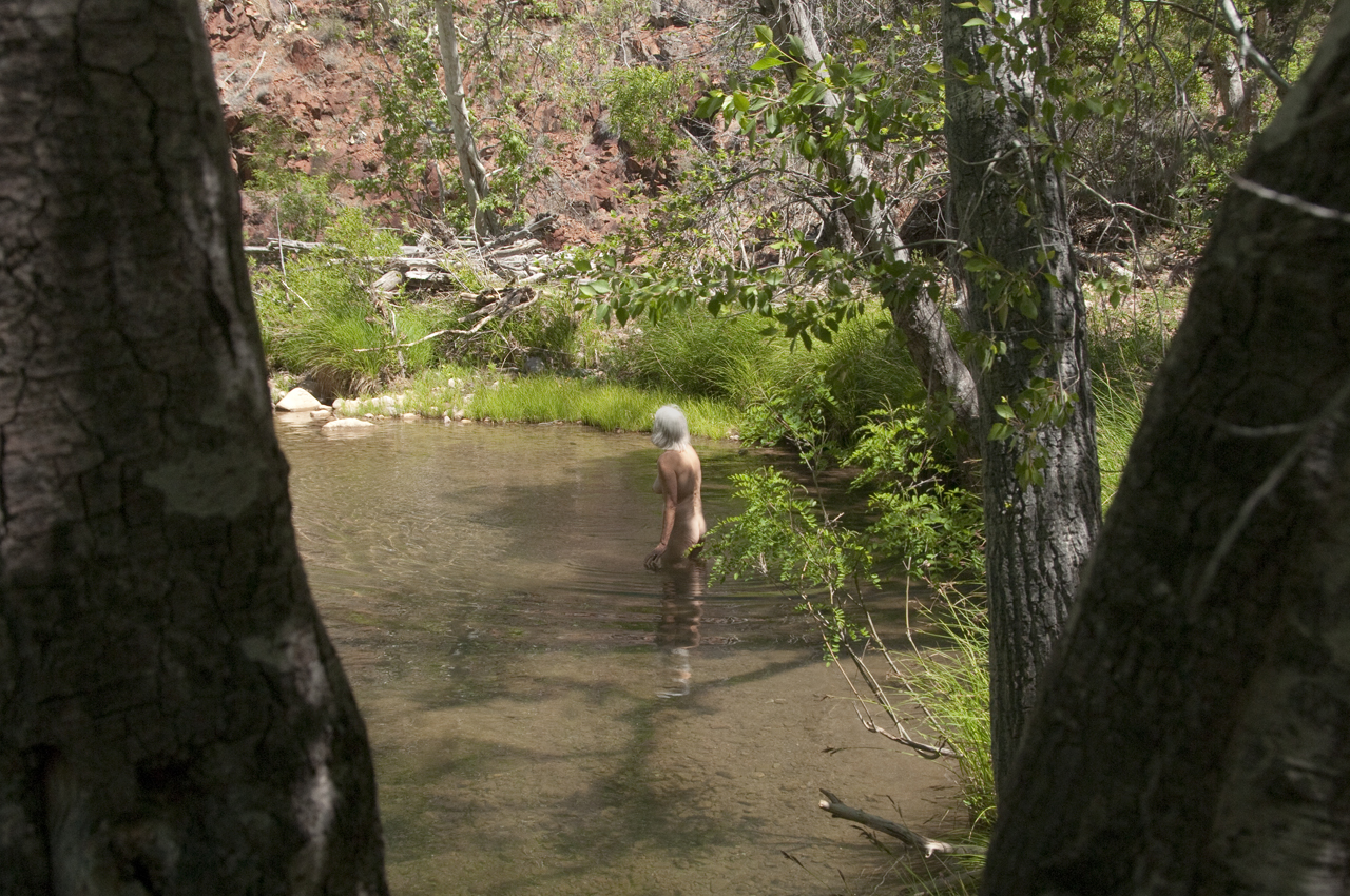
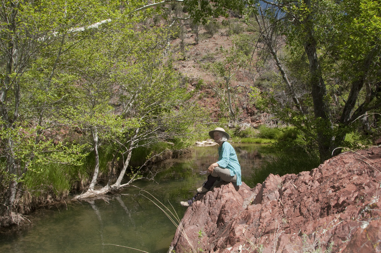
But of course we had to pay tribute to the creek by taking at least a brief dip.
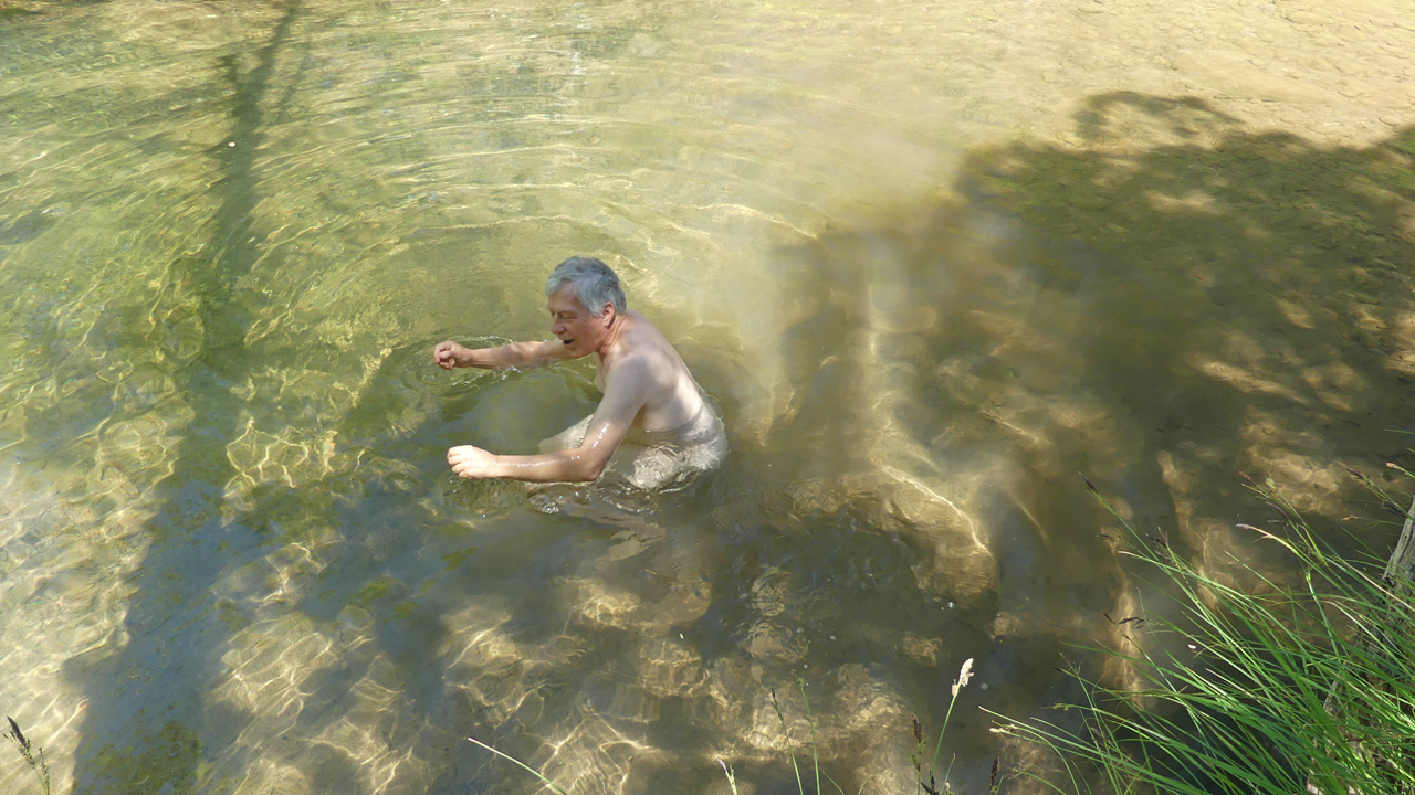
Swimming in ice-cold streams was part of our marriage vows.
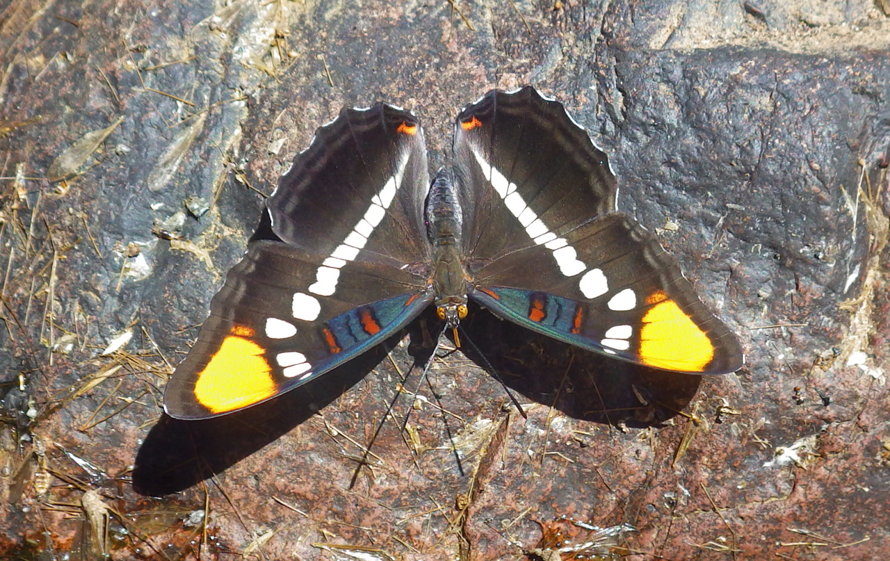
Of course there was lots of life along the stream, including Common Buckeye butterflies and this extravagant Arizona Sister.
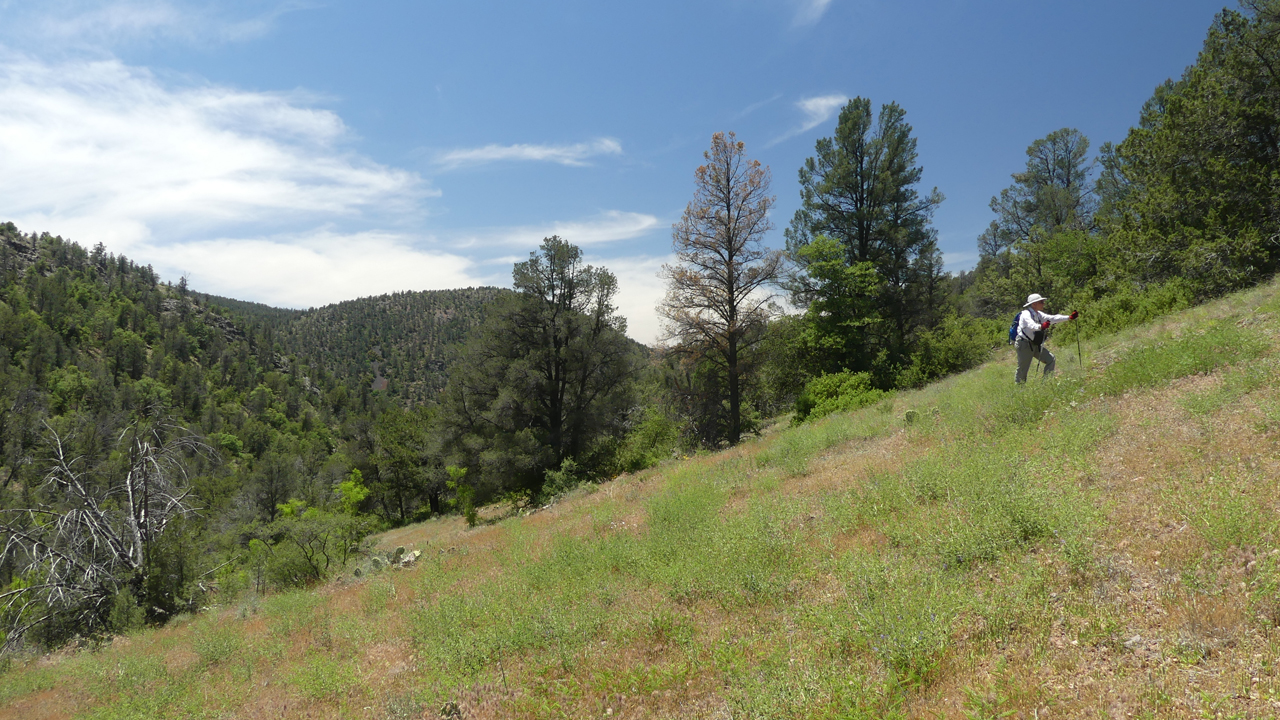
After lunch we started back the way we came, but partway up the hill we veered off on an old fishermen's trail. It took us up and over a broad, grassy high meadow that reminded us of hiking in the Colorado Rockies.
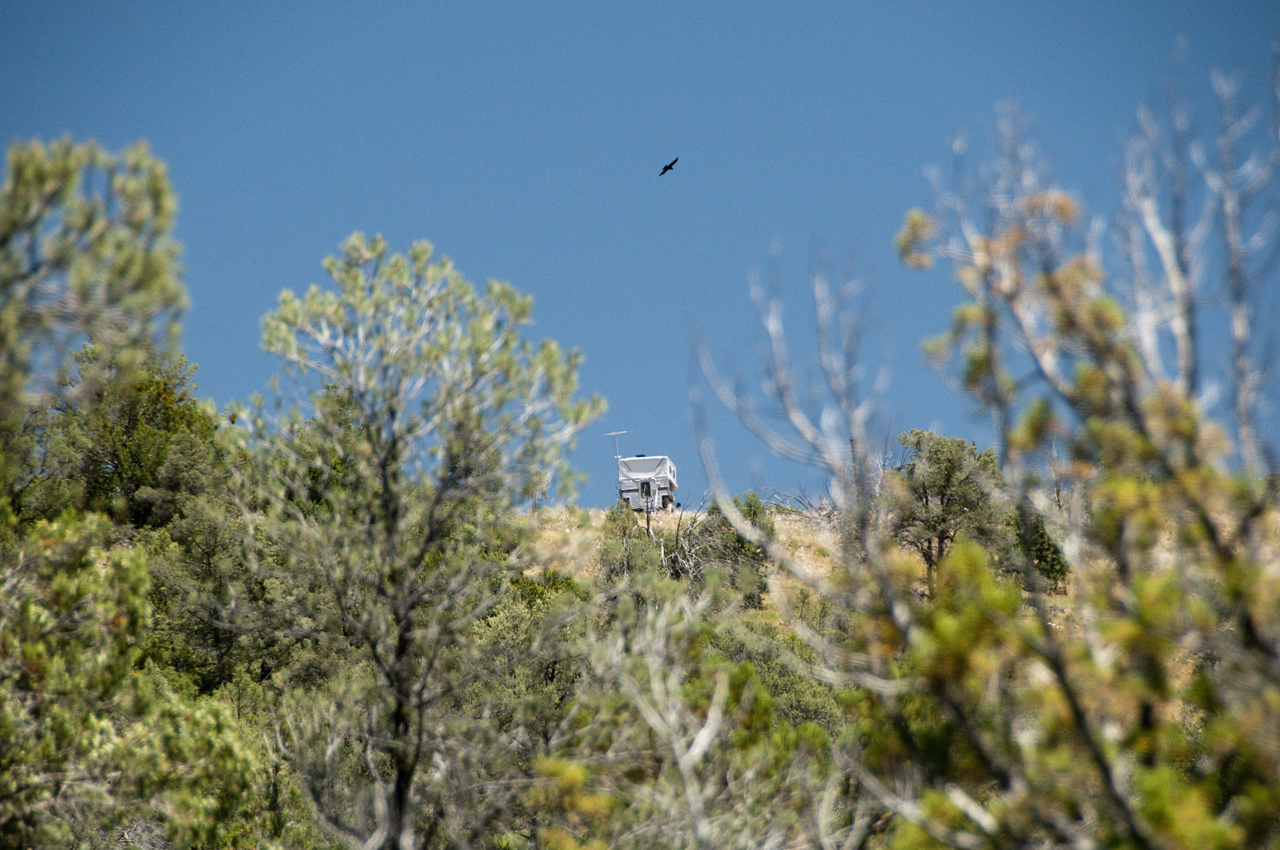
Home, and a circling raven.
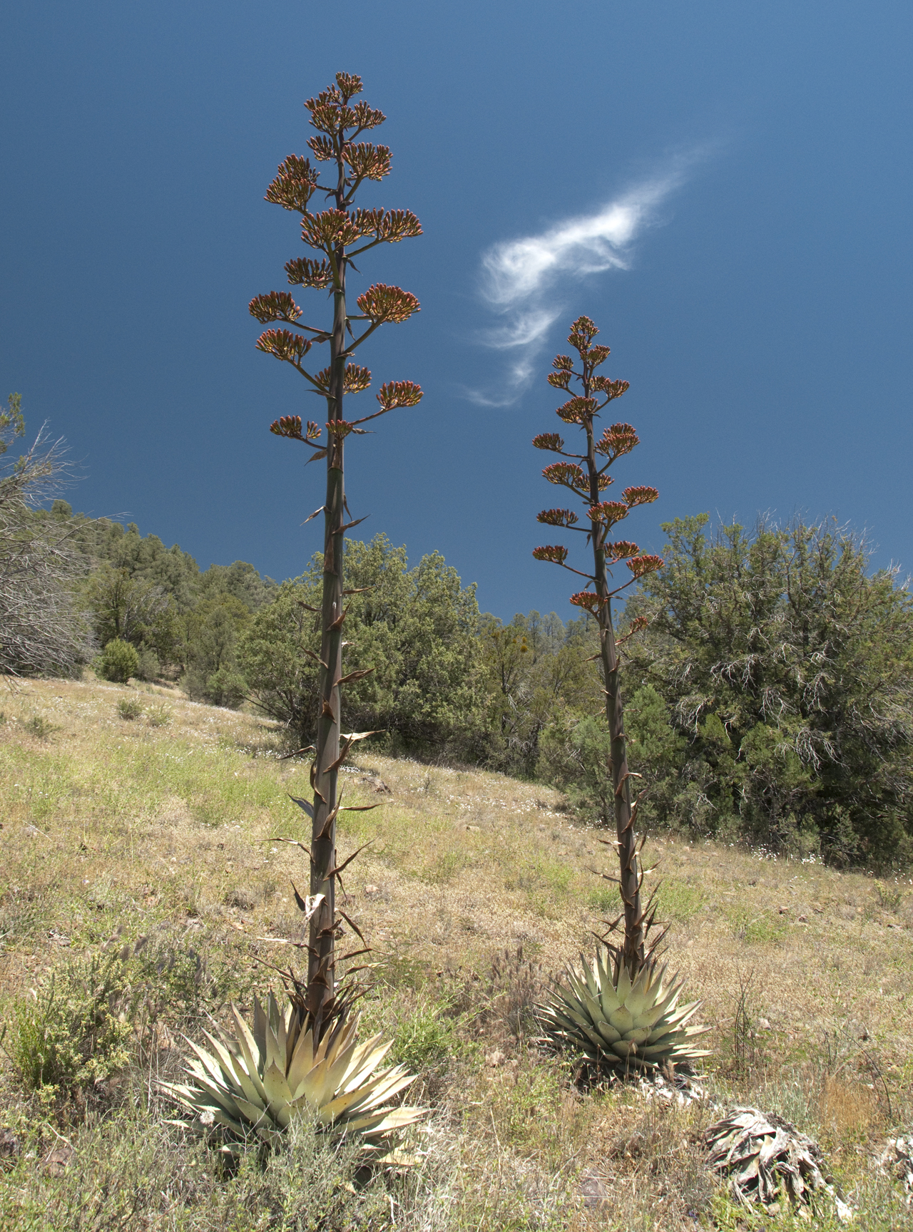
Century plants in all their glory.
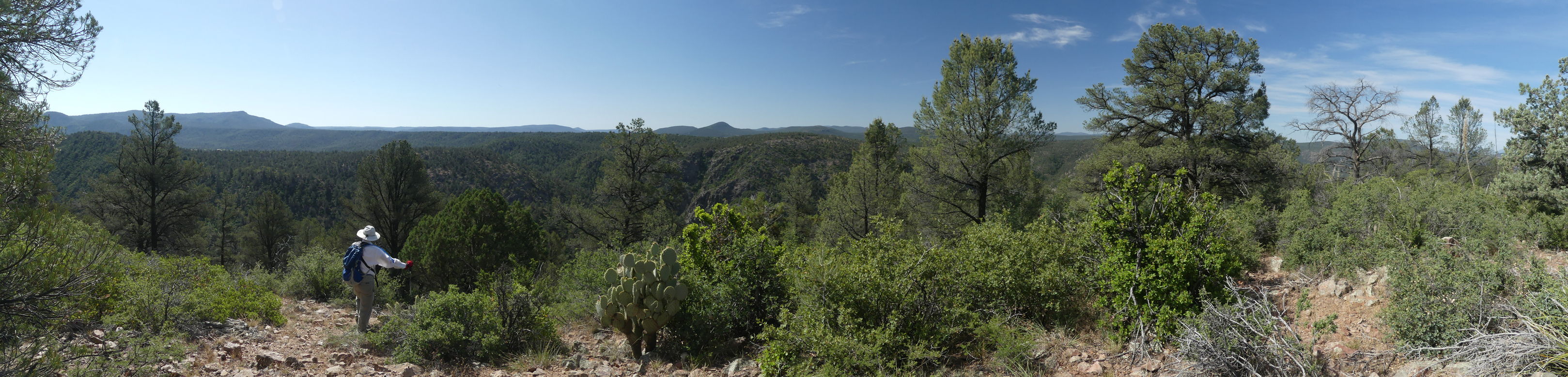
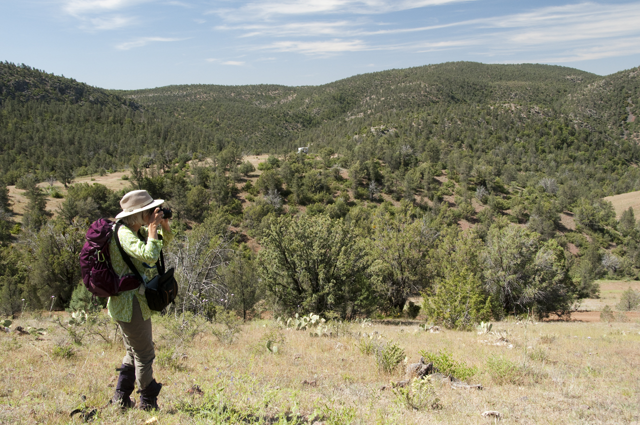
Of course we stayed a second night, and the next morning we scrambled to the top of our local mountain (scroll for a panorama).
Find the camper ...
I encountered some unusual wildflowers on the hike down.
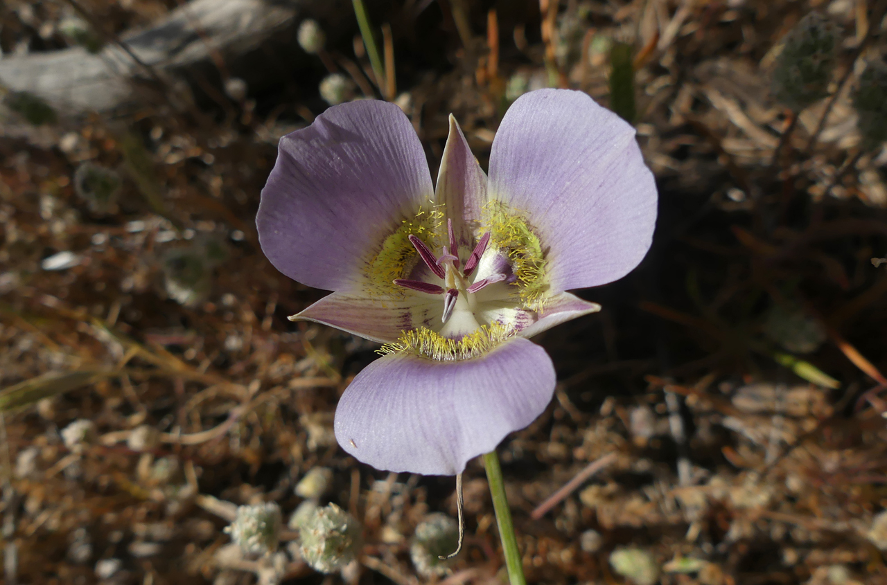
This is obviously a Mariposa Lily, but I had no idea there were so many varieties! This one appears to be Calochortus ambiguus, an Arizona Mariposa Lily.
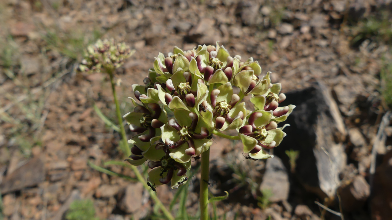
And this peculiar plant is variously known as "Spider Milkweed" and "Antelope Horns".
