A Snowy Trek to Bassett Peak
January 28, 2007
A solid two-hour drive from Tucson, Bassett Peak is one of the less frequented trails in southern Arizona. But after hiking this trail in knee-deep snow, it's our new favorite! We are most grateful to Jim (aka "Wreckchaser") of Wilcox, and Jodi, a fellow ham from Sierra Vista, for introducing us to this trail and providing great company for our first hike in this area.
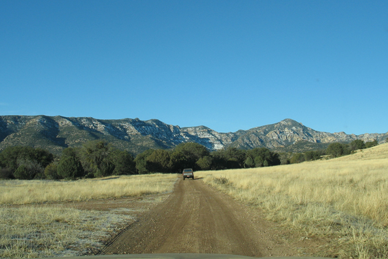
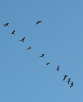
At 7650', Bassett Peak is the highest peak in the Galiuro Mountains and the 15th highest summit in Arizona. The trailhead is 37 miles northwest of Wilcox, but the drive is one of the highlights, traversing the Wilcox Playa and wandering into the eastern foothills of the Galiuros. On a winter morning, you might find yourself escorted by thousands of sandhill cranes on their way out for breakfast.
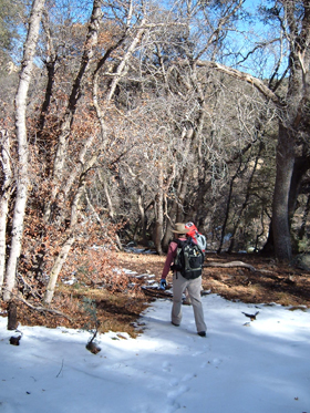
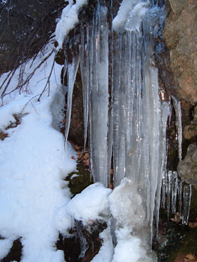
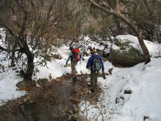
For the first three miles, the trail rises gently along Ash Creek under a dense forest cover. After last week's surprise snowstorm, there was plenty of water collecting in pools and percolating through curtains of ice-crusted moss. In fact, some parts of this trail looked more like Vermont than Arizona!
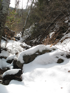
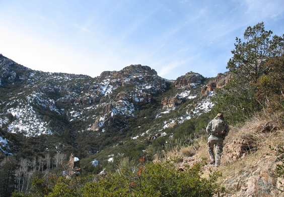
The trail stays generally south of Ash Creek on the shady side of the canyon. We were surprised at how much snow had collected in the shadow of the mountain.
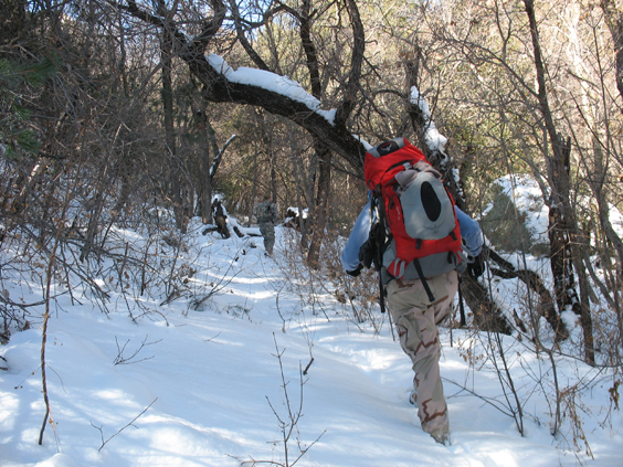
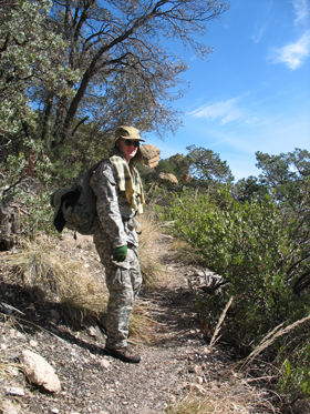
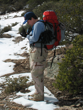
Jim and Jodi hoofing uphill through ankle-deep snow.
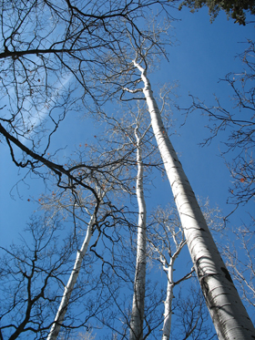
At about the three-mile point, a stand of brilliant white aspens marks the location of Upper Ash Springs. Here two cement troughs — one dated August, 1947 — collected water from the springs and carried it to two storage tanks near the trailhead.
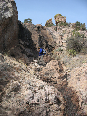
Past the spring, the trail takes a sharp right and begins switchbacking rather steeply up the sunny south slope of the canyon. We passed a spectacular waterfall that bubbles into the rock and re-emerges well below the trail. We quickly hiked from winter to spring. The warm red dirt felt good under my feet and offered some hope that my waterlogged boots might have a chance to dry out.
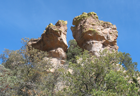
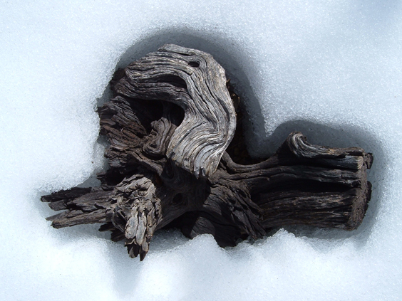
The south wall of the canyon includes many Chiricahua-like hoodoos and spires.
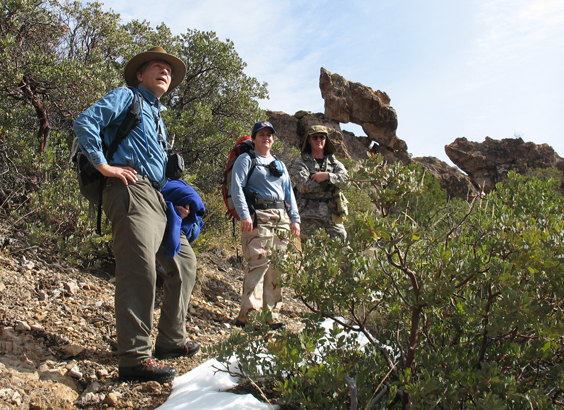
Left to right: Dennis, Jodi and Jim.
After scaling the north wall of the canyon, the trail levels out and hooks back south along the ridge toward Bassett Peak.
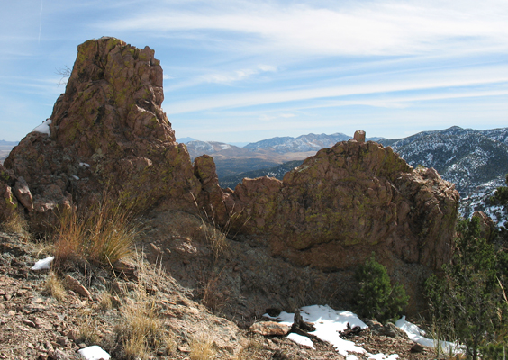
The views from the ridge are staggering — from Mount Graham and the Wilcox Playa south to the snow-capped(!) Chiricahuas and Dos Cabezas.
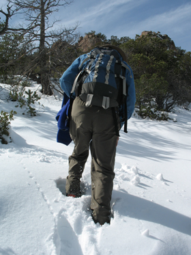
As the scenery became more impressive, so did the snow cover. By the time the trail leveled out about a mile above the springs, we were slogging through one foot of fluff, and the water was actually sloshing back and forth in my boots.
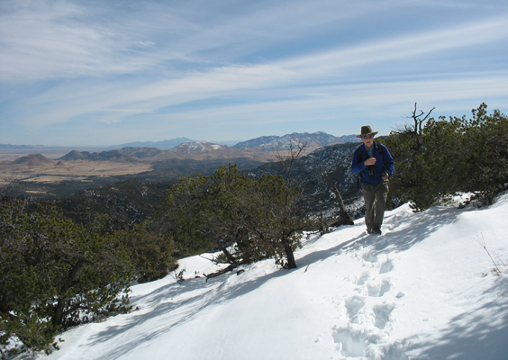
Some quick math [deepening snow x lowering temperatures = probability of freezing my feet] indicated that today was not the day I would hike to the summit. Dennis and I headed downhill for a sunny lunch spot while Jodi and Jim continued along the ridge.
We maintained radio contact with Jim and Jodi, who turned back short of the summit after losing the trail in knee-deep snow.
The snow may have soaked our boots, but it certainly didn't dampen our spirits. This is one of the best hikes we've done in a very long time and we hope to return many times.
Although I don't normally provide directions, this is one trail that could use a bit more traffic, especially since there are rumors that the Forest Service plans to stop maintaining the access road.
From Wilcox, follow Rex Allen Road north out of Wilcox for 17.7 miles. Turn west onto Ash Creek Road and cross Fort Grant Road at 20.6 miles, where the pavement ends. Bear right at 33.4 miles and turn left at 34.8 miles at the intersection of Ash Creek and Sunset Loop Roads. The last two miles require a 4WD vehicle. At 35.6 miles, stay right at the intersection with FR 659. Park in the clearing at 37 miles. The trailhead is just to the right of Ash Creek.