Great Sand Dunes
May 16-25, 2025
On the train home from our epic trip to Dunsmuir, California, we picked up a nasty bug. It laid us low for three weeks, and forced us to cancel a long-planned backpacking trip. Sick of being sick, we concluded that the only cure was (of course) a road trip! Our ham radio buddy Chuck had invited us to join him and his wife Jenna at Great Sand Dunes at the end of May. We left home with no itinerary on May 16, figuring we'd just inch our way north and see where we ended up.
Silver City to Valley of Fires
For a change of scenery, we decided to slide along the east side of the state, through Las Cruces and Alamogordo. That landed us in Carrizozo, one of our favorite towns, just in time to visit the Tularosa Basin Gallery of Photography. Wow, what a treat! Photozozo features over 1000 images — the largest display of panoramic photography in New Mexico!
We nabbed one of the last campsites at Valley of Fires. It was lovely as always, with a gentle breeze and a fiery sunset that cast soft shadows over the Sierra Blanca Mountains to the east.

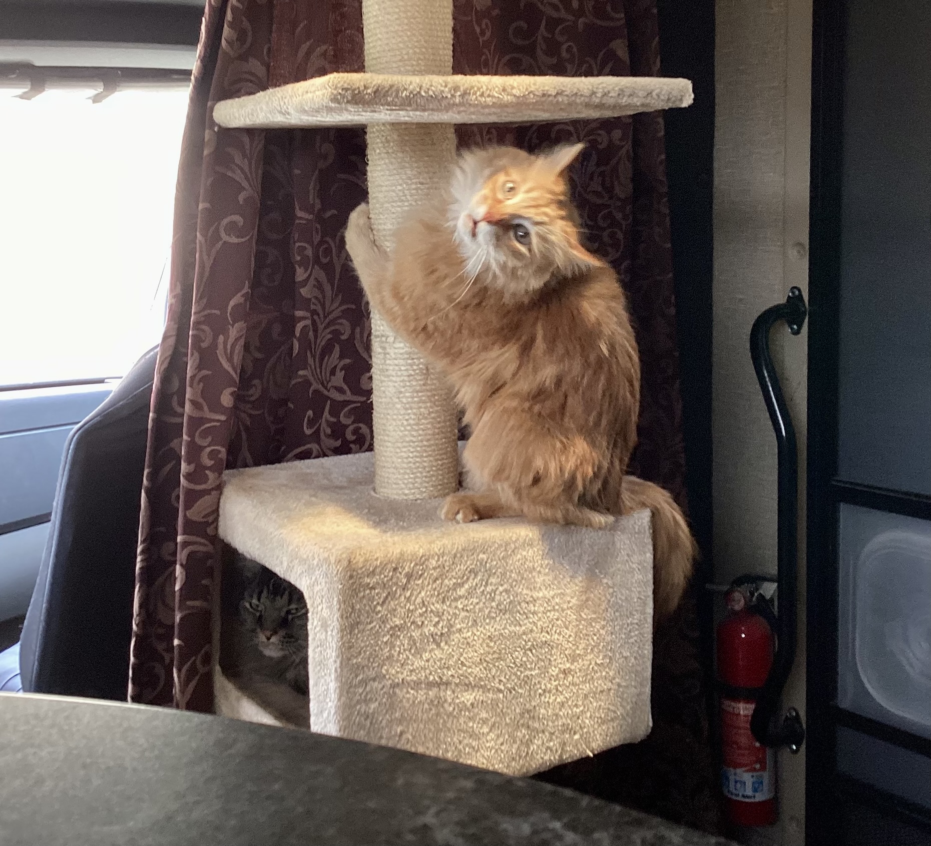
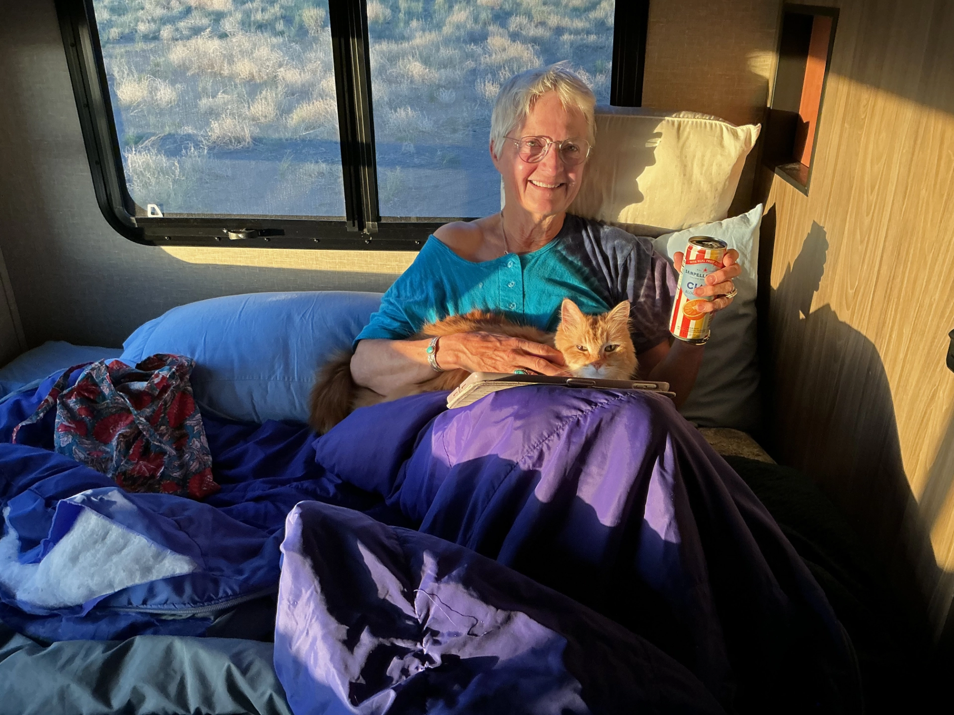
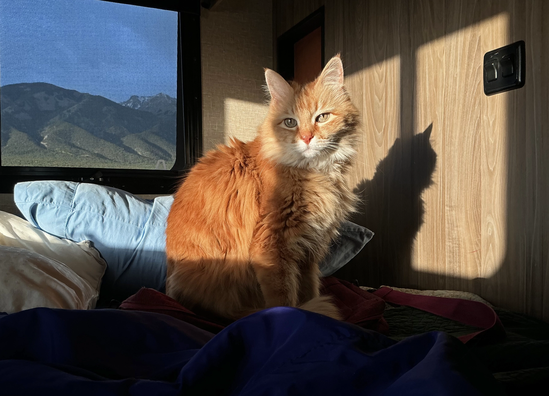
Cats go into stasis while we're on the road, and relax completely once we're parked for the night. They have become good travelers!
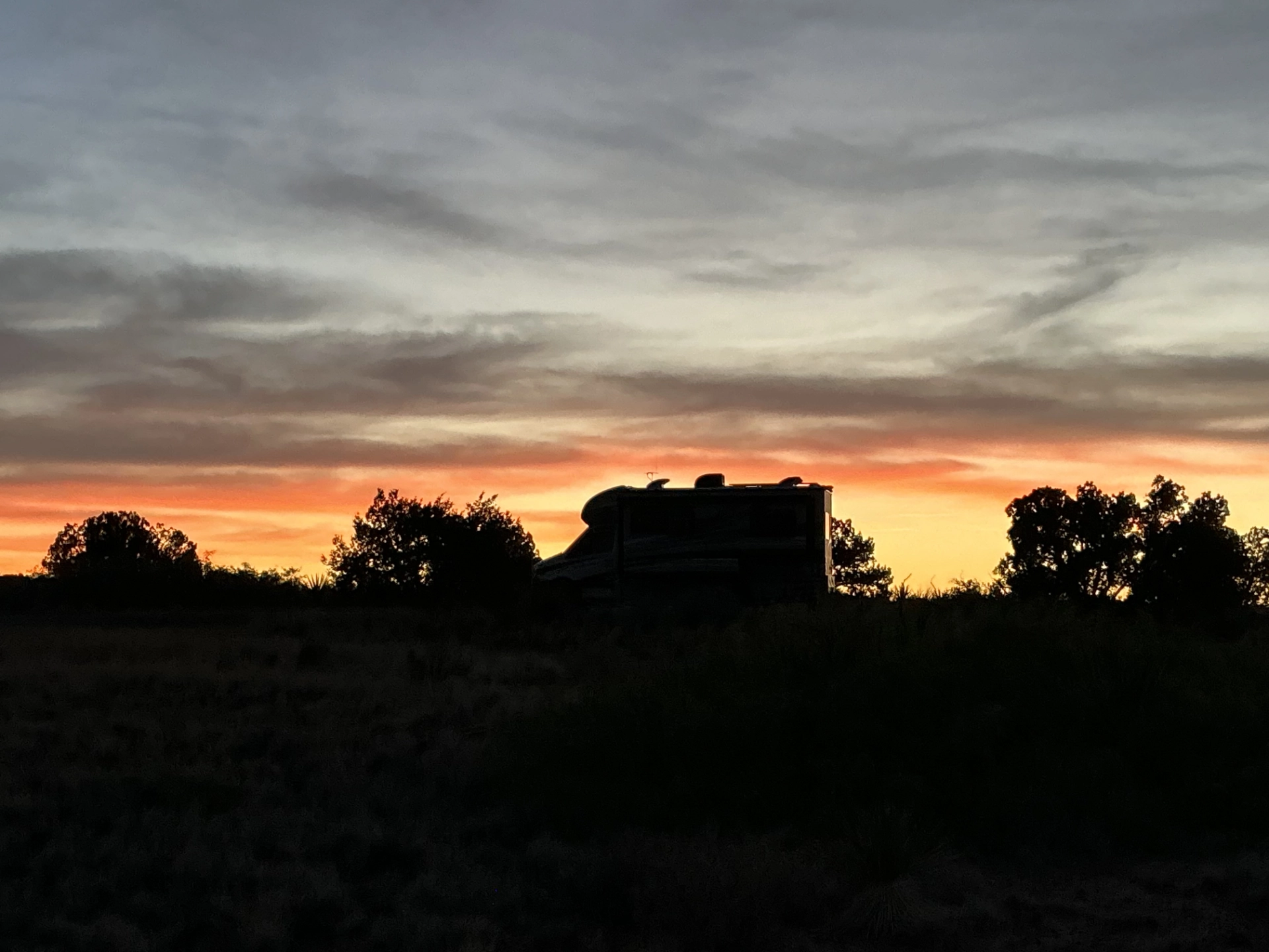
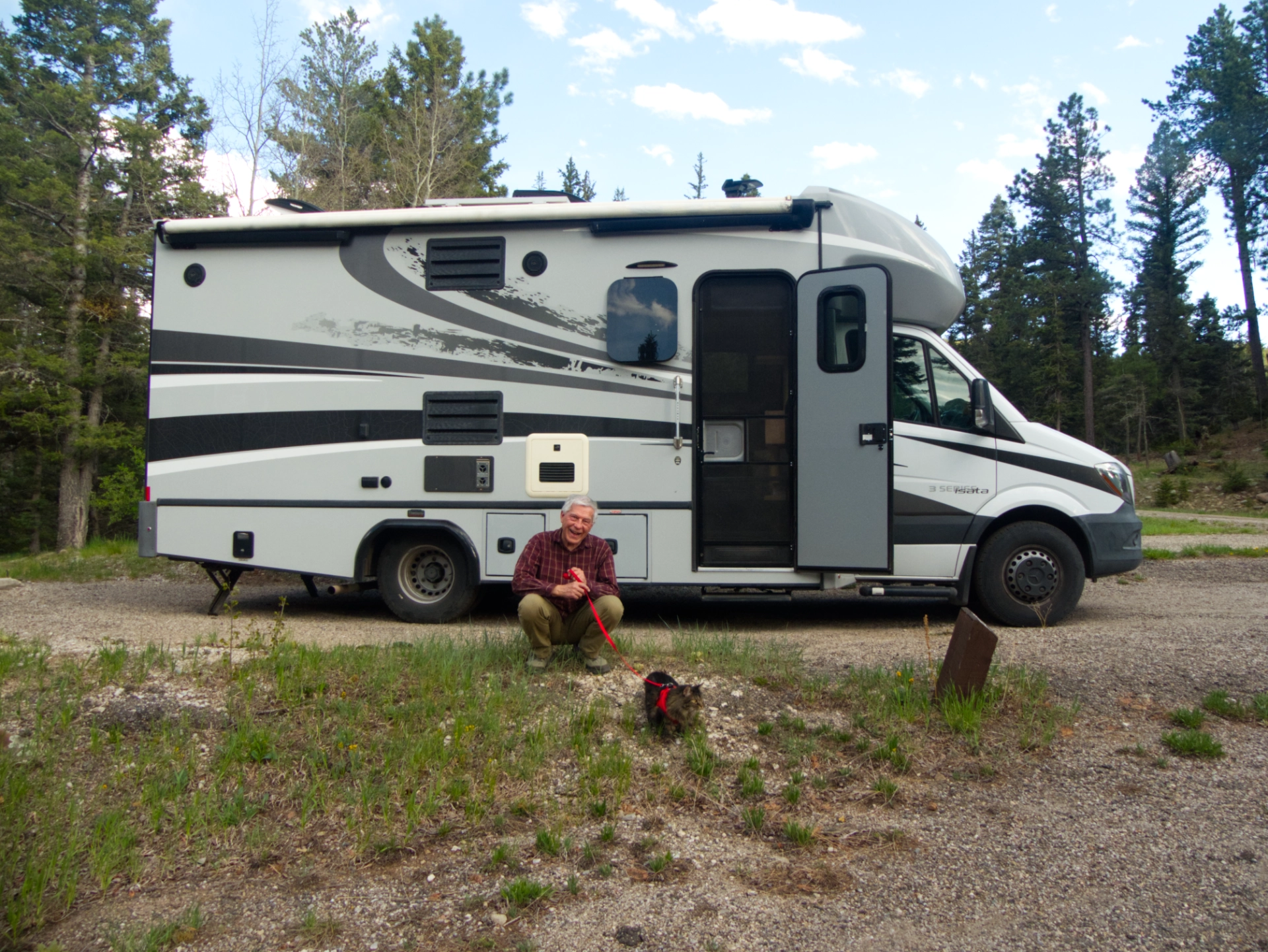
Our rig at sunset.
Valley of Fires to Coyote Creek
Continuing north on US 54, we were startled by the appearance of giant spikes on the horizon that soon revealed themselves to be towers awaiting wind turbine blades. Corona, New Mexico, is the epicenter of a massive wind farm that will include 674 wind turbines when completed in 2026. RVs and mobile homes are clustered together on every patch of open ground next to long-shuttered businesses as Corona, population 130, makes room for nearly 1000 workers.
Near the non-town of Pastura, we took a shortcut on NM 219/US 84 that climbed into rolling hill country before dropping us into the verdant Pecos River Valley. As we travel, I consult multiple maps, including onX Offroad, which shows the surrounding lands divided into very long thin strips — holdovers from land grants awarded by the Spanish and Mexican governments to encourage settlement of the Territorio de Nuevo Mexico.
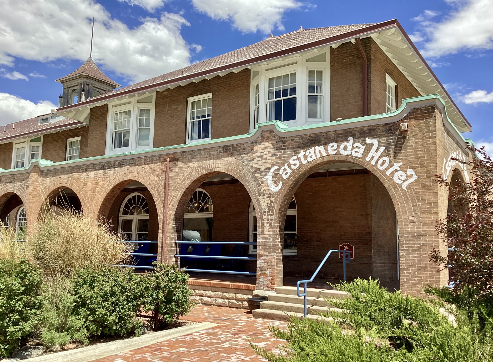
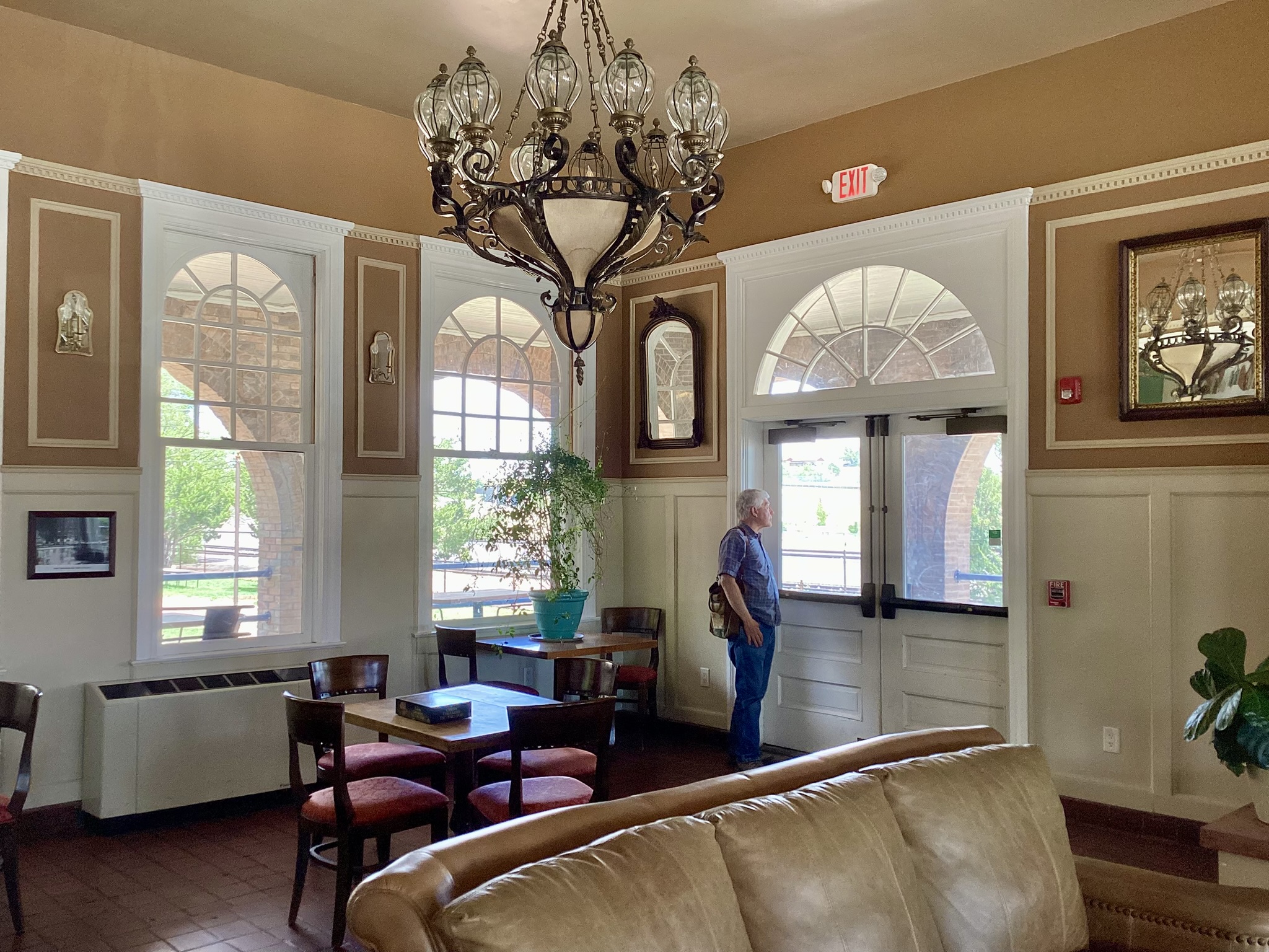
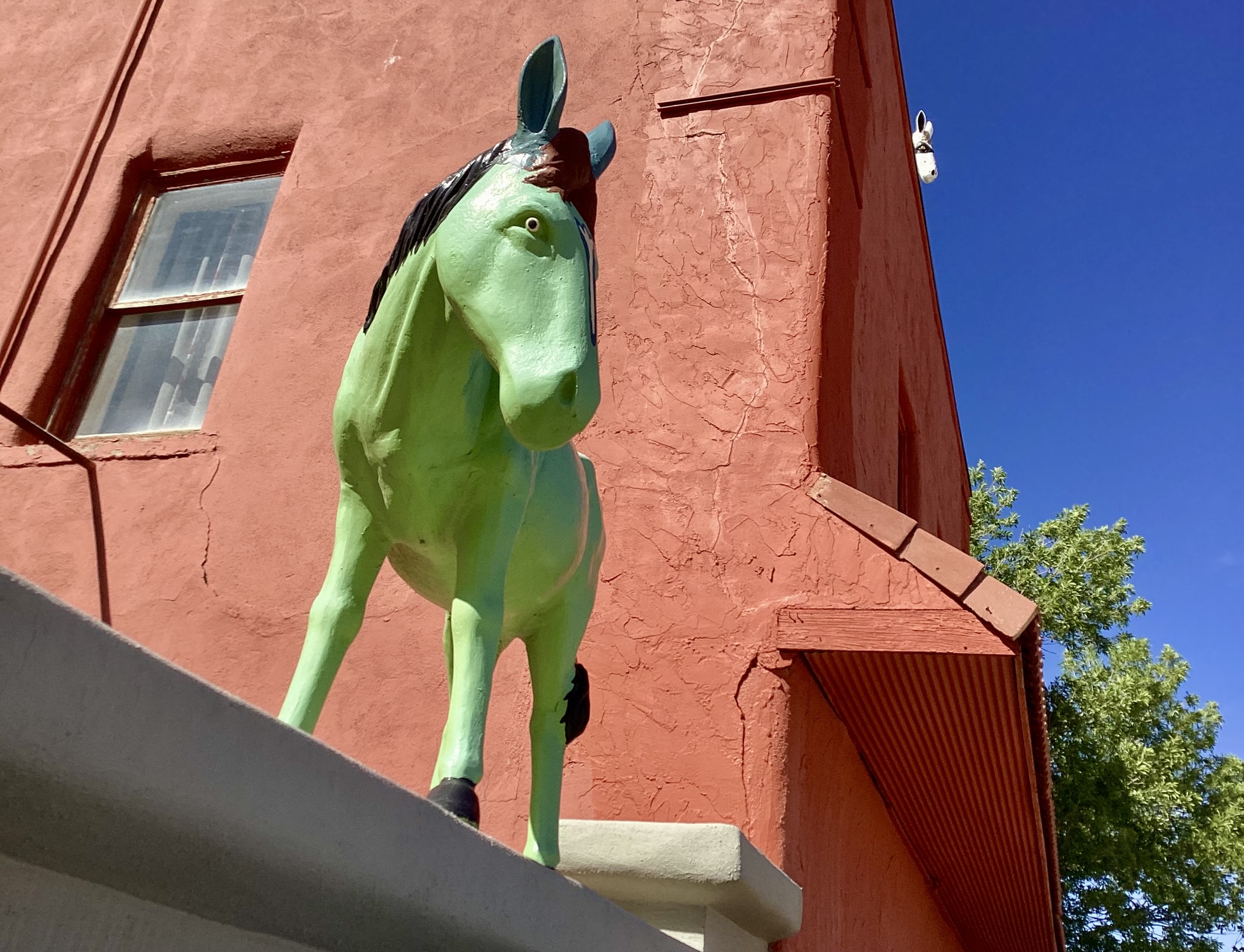
Las Vegas New Mexico is another mandatory stop. This time we checked out Coffee, Tea & Empathy, a new coffee shop on Railroad Avenue across from the historic Castañeda Hotel. Dennis enjoyed his mocha and I my flat white, and we both swooned over the scones. According to OnX, the hotel is owned by the Winslow Arts Trust — the same group that owns La Posada in Winslow and the Plaza Hotel in Las Vegas! All three are former Harvey Hotels. The Castañeda was built in 1899 and operated until 1948. It sat vacant for 70 years until purchased by Alan Affeldt and Tina Mion in 2019. They spent $6 million restoring it to its former glory.
Continuing on NM 518, we passed Storrie Lake, normally a mud puddle, but today brimfull of water! As we rolled north we could see the effects of recent snowstorms that bypassed Silver City but produced localized flooding in northern New Mexico.
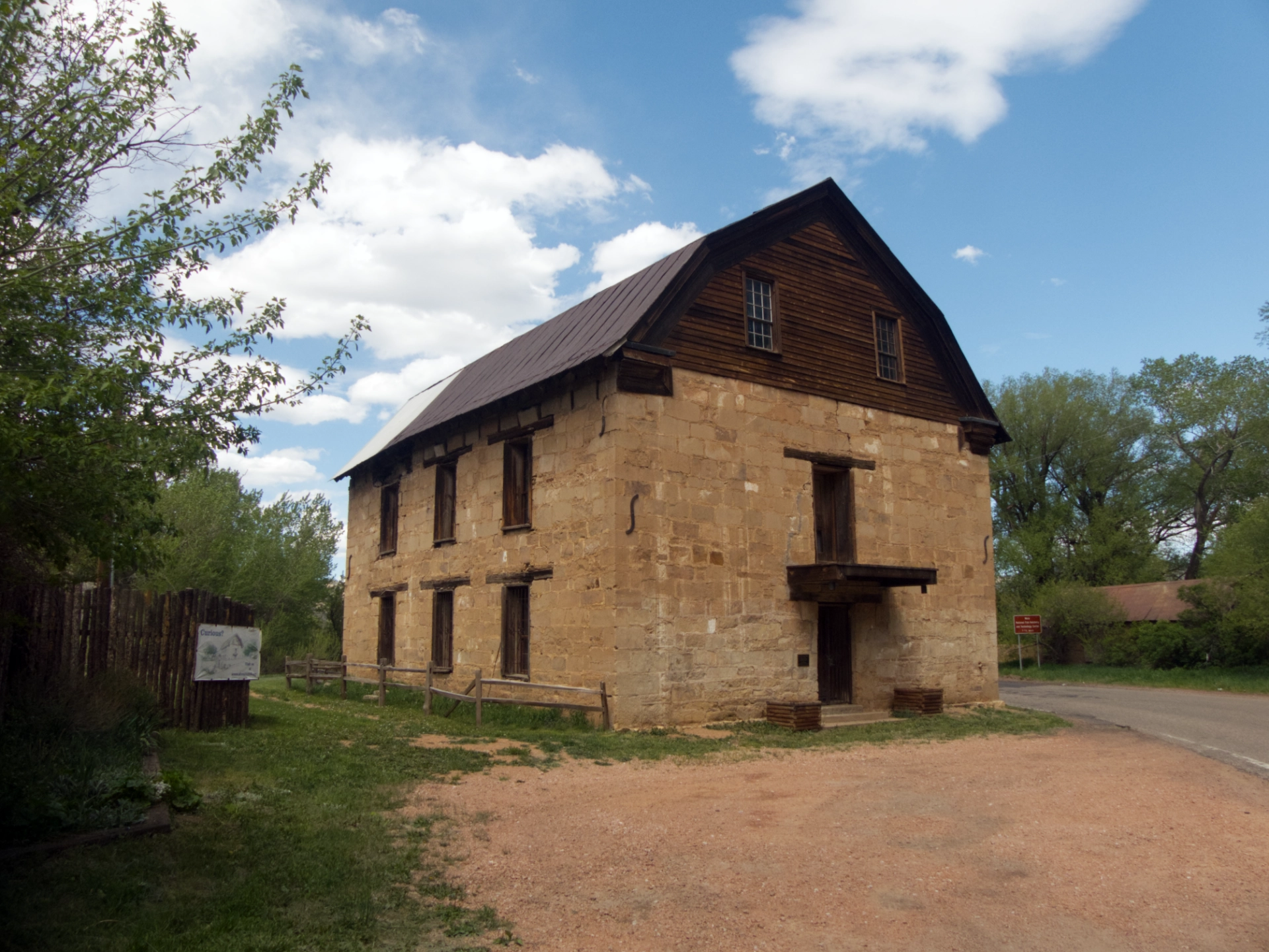
The Saint Vrain Mill on the banks of the Mora River was built in 1864 to provide flour and milled grain to nearby Fort Union. It operated as a mill until 1922.
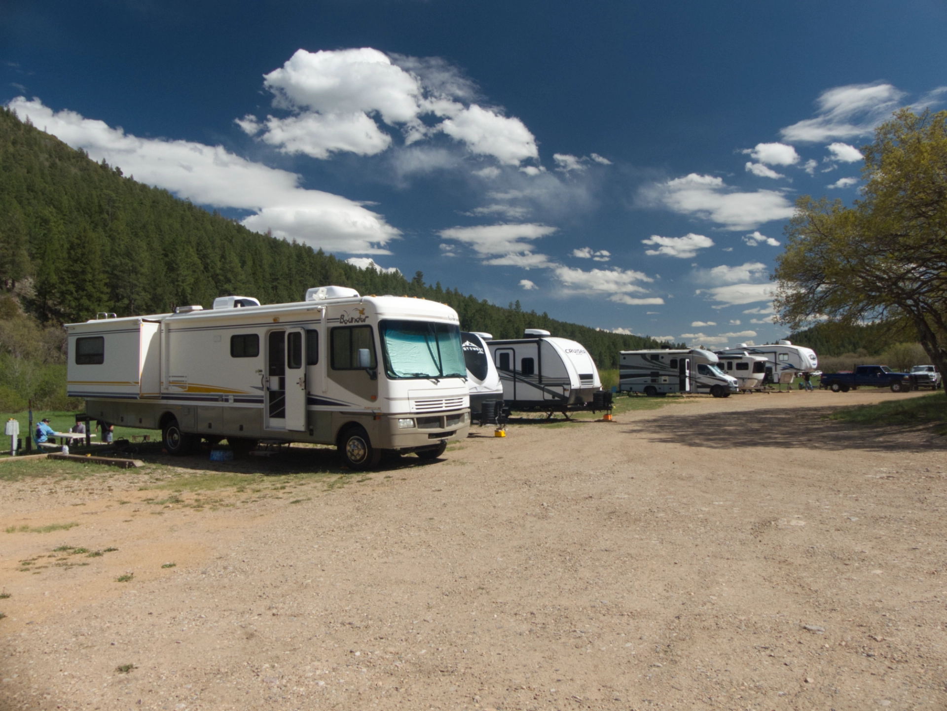
NM 434 is a rough, narrow mountain road that winds through Guadalupita Canyon, passing by forests charred by the disastrous Calf Canyon Fire in 2022. Just north of the burn scar is tiny Coyote Creek State Park. The current campground is the usual unlovely parking lot with rigs sandwiched less than six feet apart, but a sunset walk took us past an impressive construction project that includes new spacious and more attractive primitive campsites, as well as several "camping cabins" that include tiny woodstoves and wooden platforms that can serve as tables or bed frames.
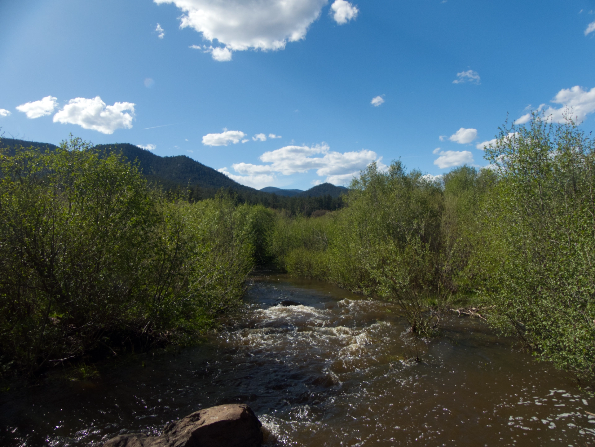
Coyote Creek bursting its banks.
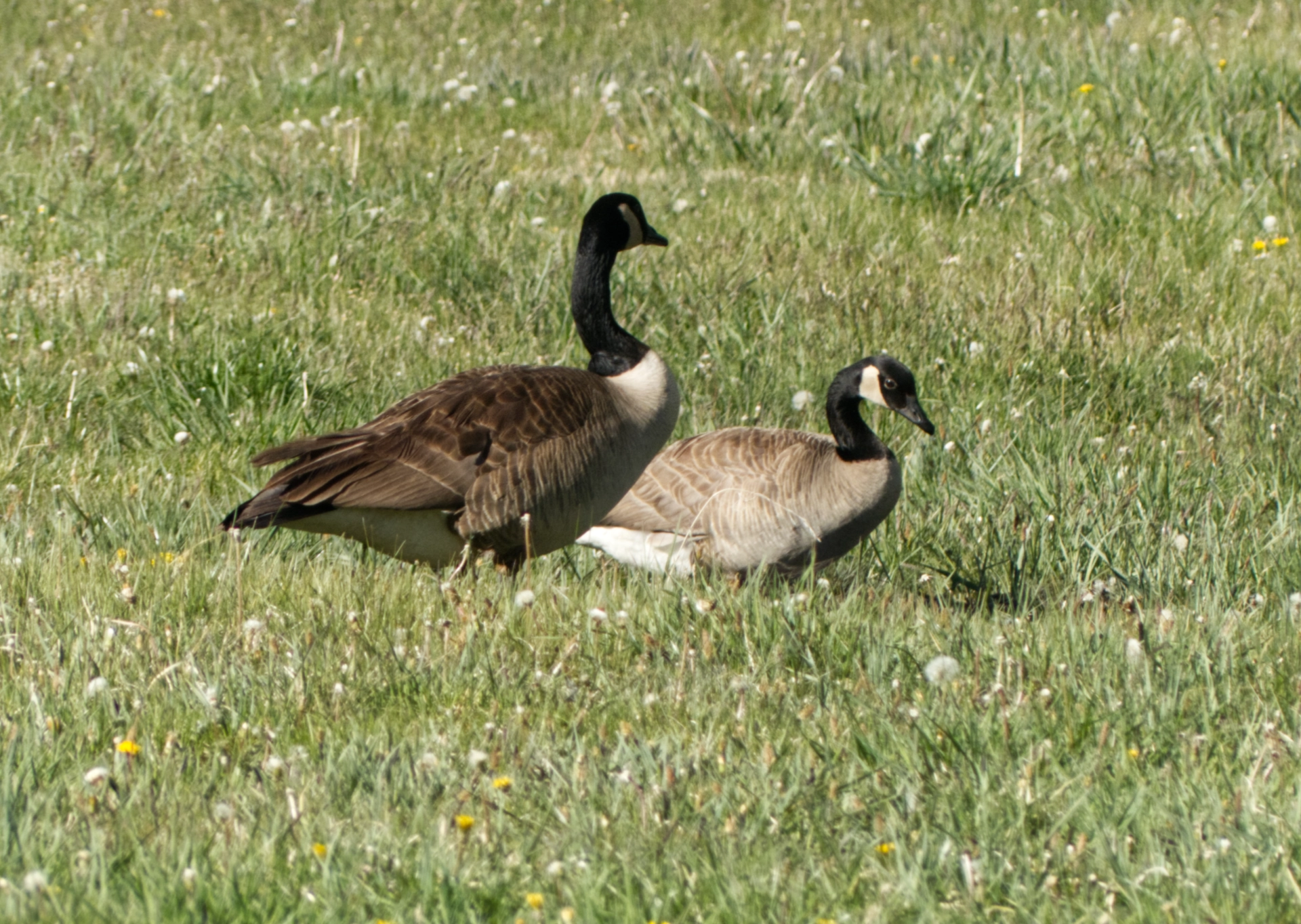
The meadow at the center of the campground was flooded, creating a perfect playground for Canada Geese!
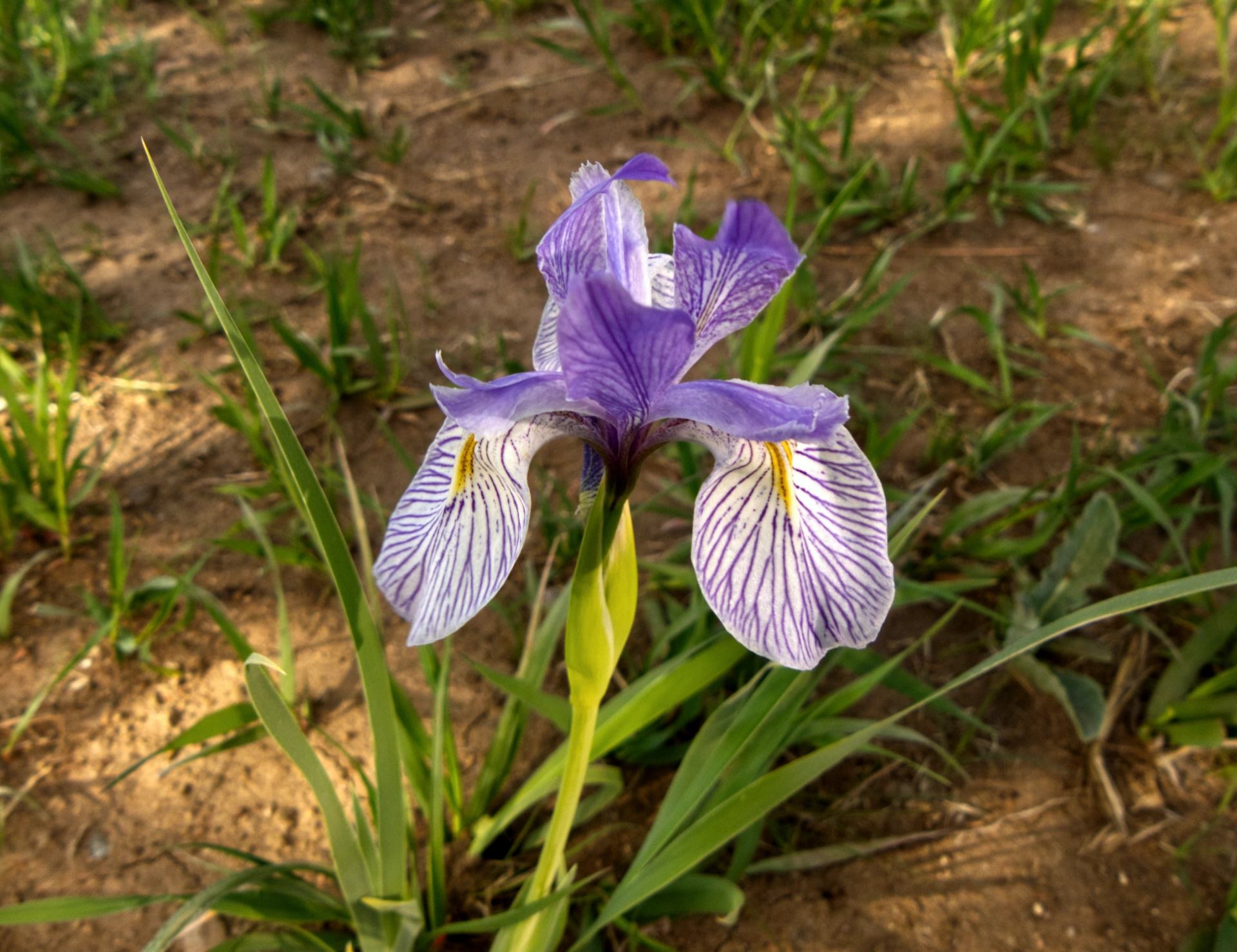
While we're rolling, I have plenty of time to read, including keeping an eye of this year's wildfires. It broke my heart when I saw that the Greer Fire had raged through one of our favorite camping areas — a precious island of giant ponderosa pines and marshes filled with blue flag irises. It was surrounded by burn scars, so we knew it was doomed, but a massive fire so early in the season leaves little hope that it will recover during my lifetime. My heart is breaking!
Coyote Creek to Elephant Rock
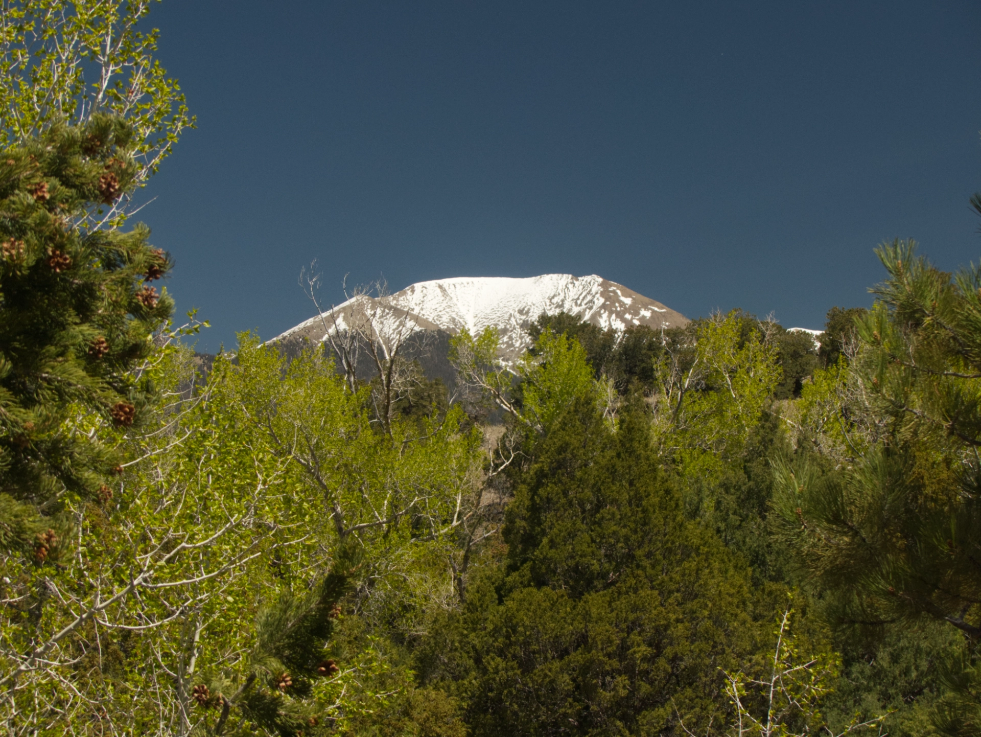
North of Coyote Creek, snow-capped Sangre de Cristo Mountains popped into view.
By now, the winds were ferocious, and we were facing a 10% grade to climb over Bobcat Pass (elevation 9856') on a narrow and Madeleine mountain road. Madeleine captured the mood.
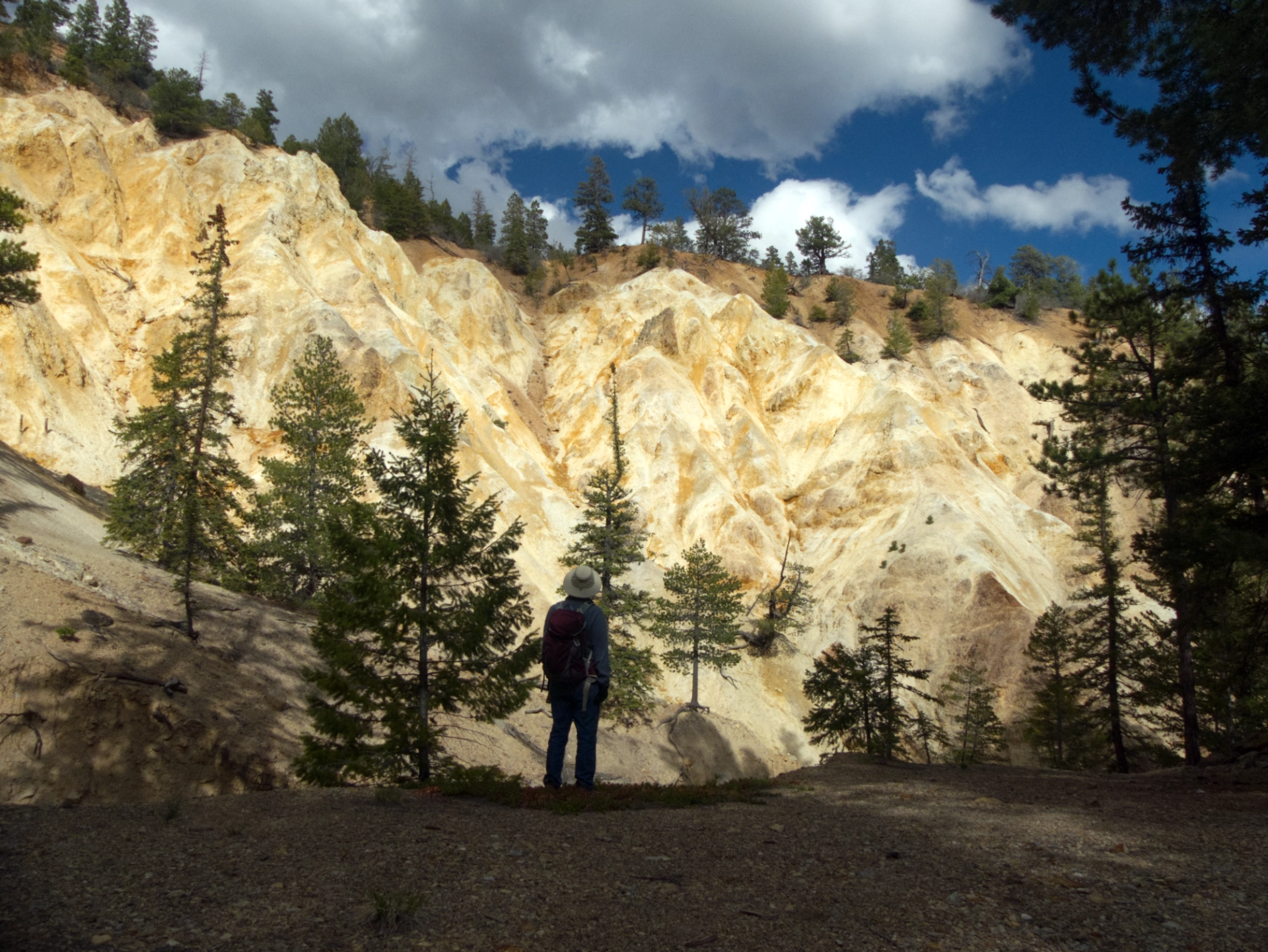
We had intended to camp nearby and explore the town of Red River, but while the setting was lovely, the town was just the usual string of sports bars, upscale boutiques and real estate offices. We blew past the town and checked out several campgrounds, settling at Elephant Rock. We chose this campground because my map showed the Questa hiking trail nearby. But at the mapped location, all we found was an enormous washout.
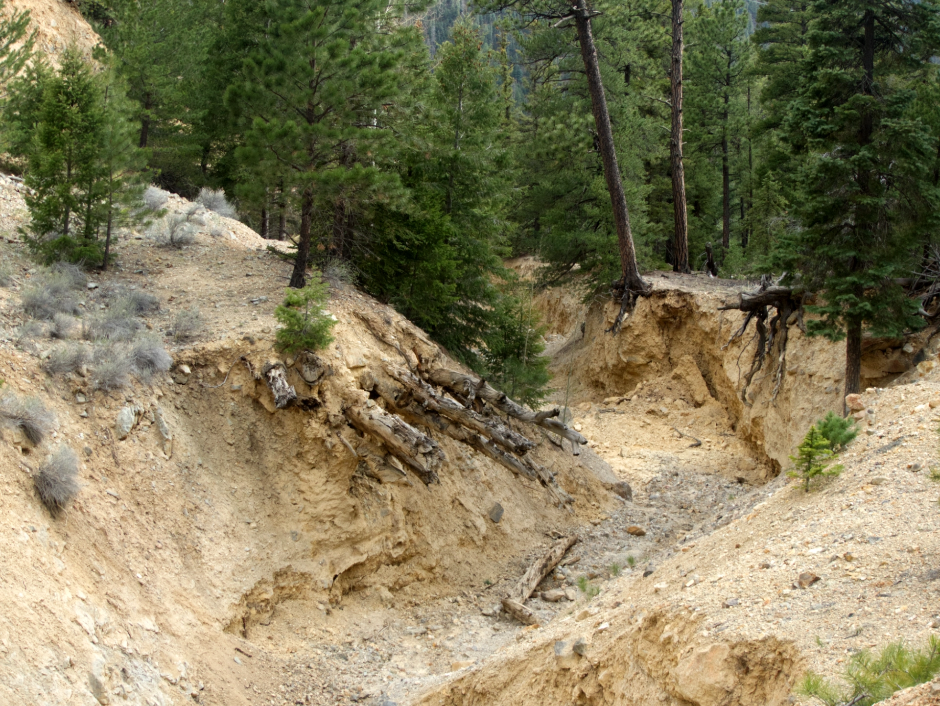
Nearby was a very faint old road. We followed it until it dead-ended at the site of an old bridge. We'd later learn that the Questa Trail, if ever completed, will be for dirt bikes only (ugh).
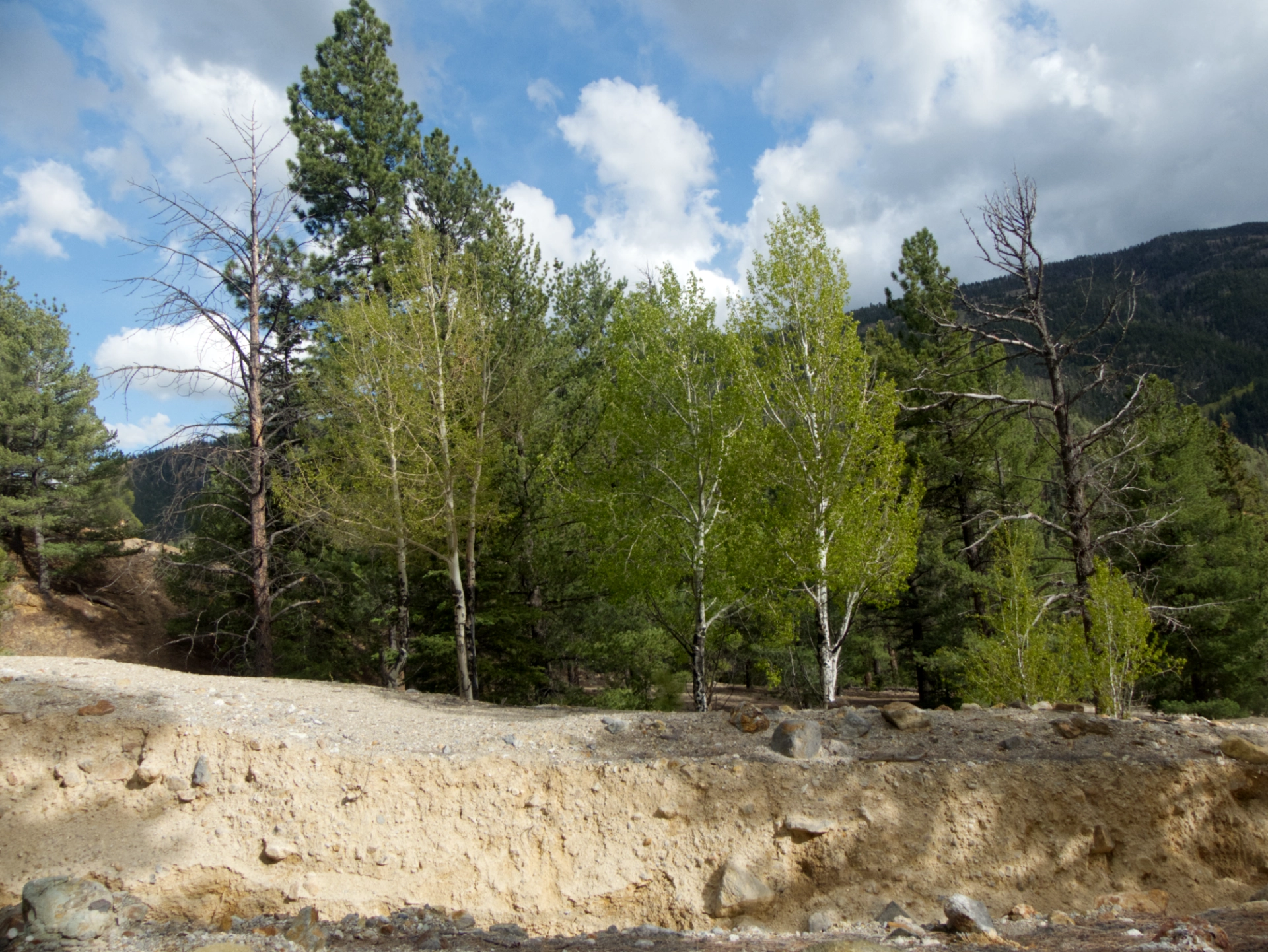
Aspens waking up in a splash of sunshine.
We bushwhacked back down the hill and across the road in search of the Red River.
We crashed through the streamside brush to find pussy willows and abundant evidence of beaver activity. Overnight temperatures were below freezing, with spitting snow. But now we were less than 100 miles from Great Sand Dunes!
Elephant Rock to Blanco Road
Once the weather cleared, we made a run for it, slipping between hailstorms and heavy rain.
We took a break at Rael's Market in Questa. My goodness, in addition to espresso drinks, here you'll find wringer washers, framed artwork, a salwar kameez, local crafts, used books, seeds, costume jewelry and kachinas!
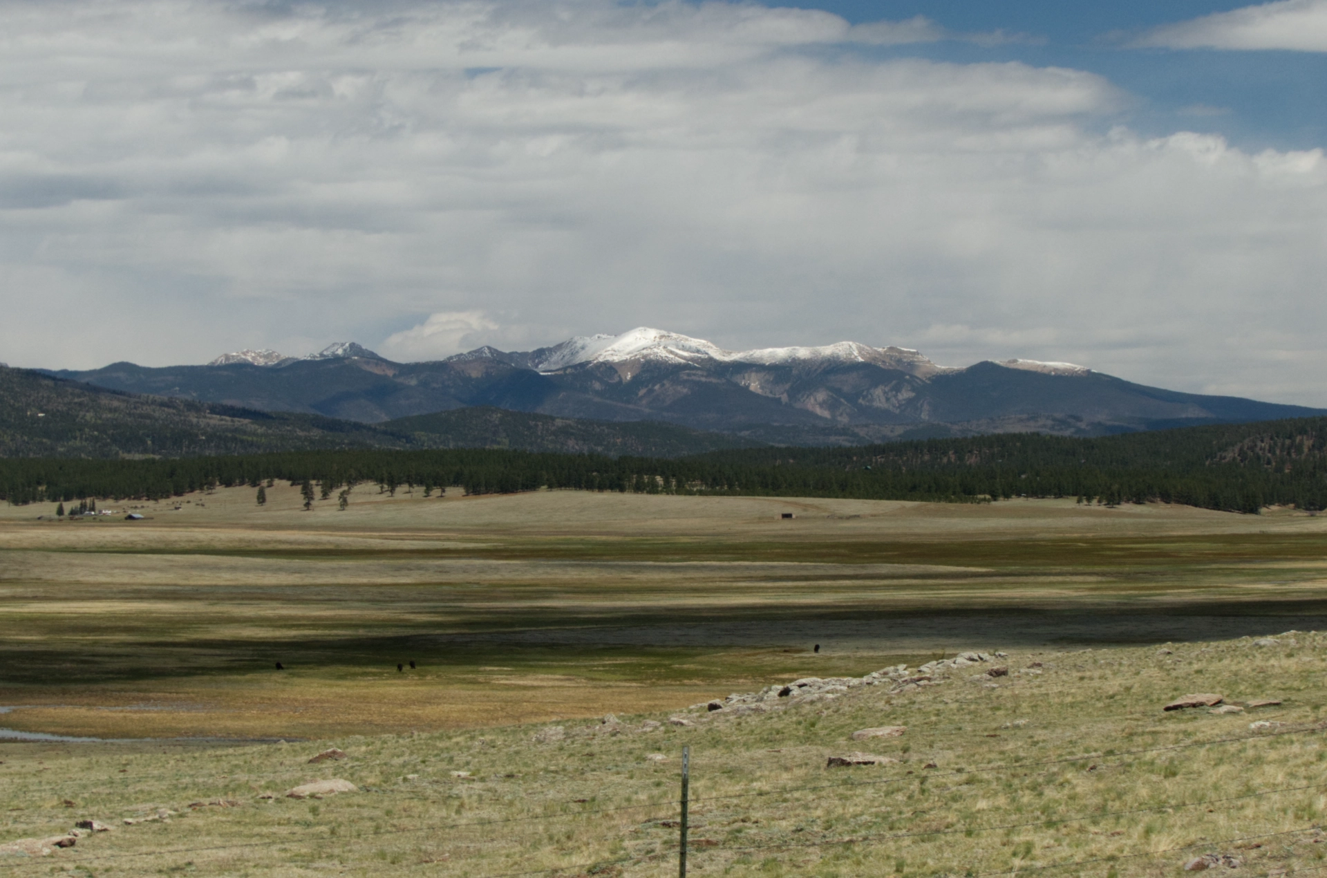
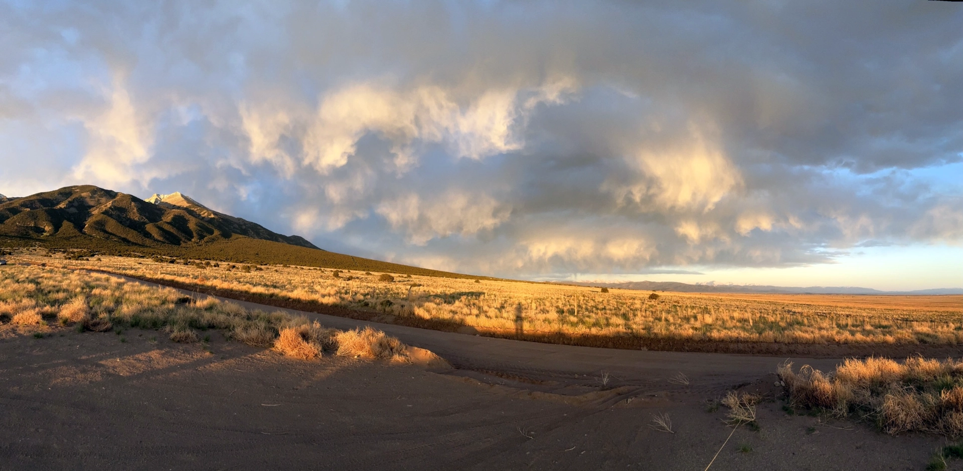
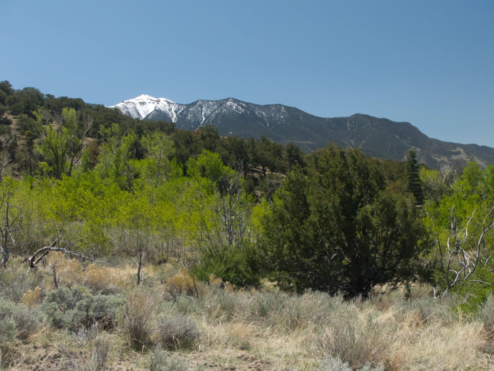
We knew all area campsites were booked, so we aimed for dispersed camping on a rough track at the foot of Blanco Peak, working our way up as high as Miss Bea Haven could carry us (scroll for a panomama).
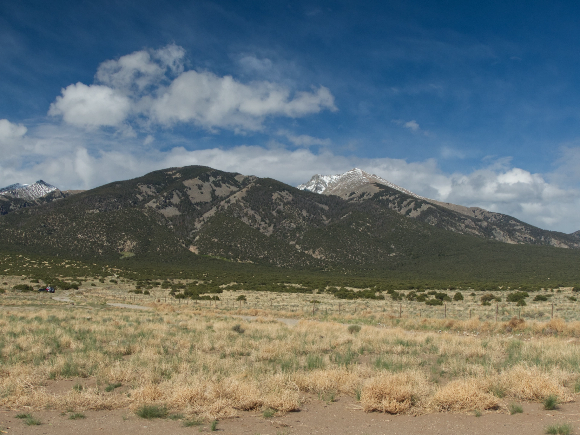
The views were majestic and the weather was a 24-hour-a-day show.
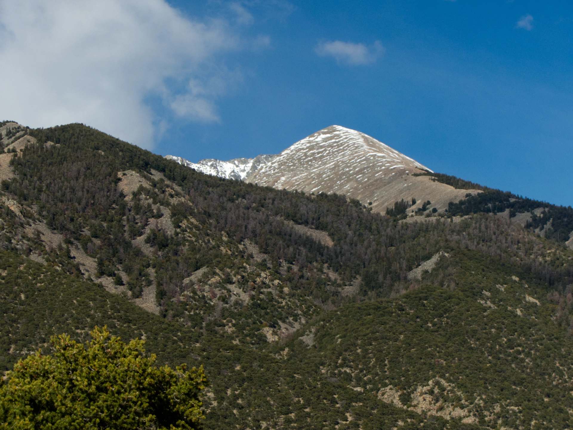
Blanco Peak, shedding snow from a recent storm.
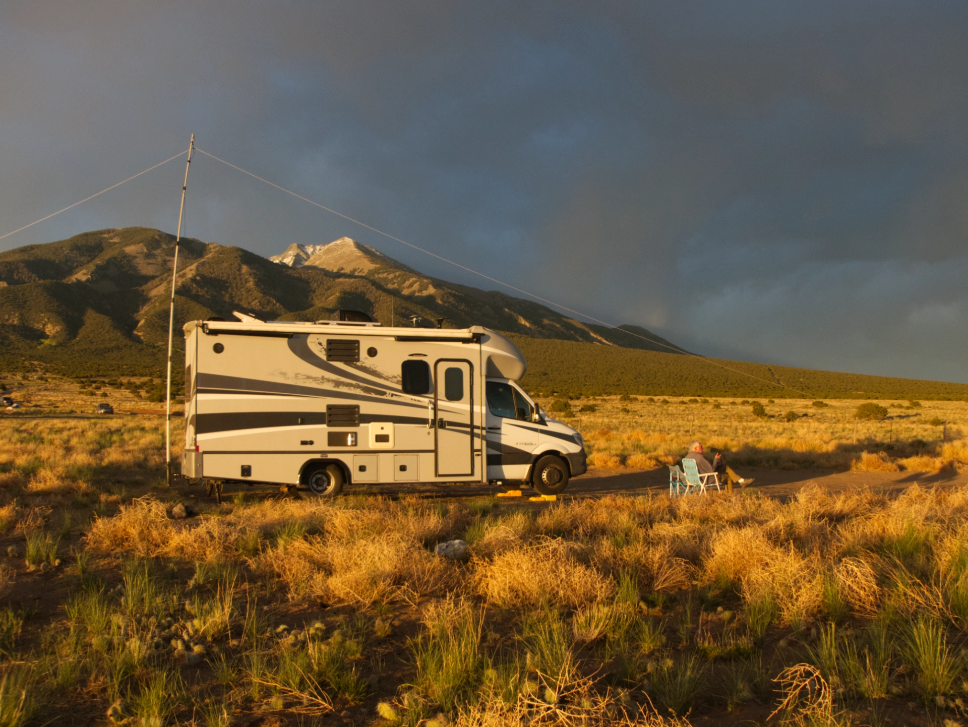
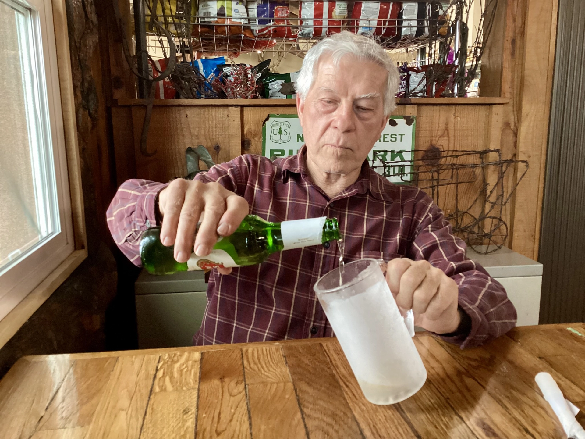
Dennis with his 80-meter setup.
Weather moving in!
Happy campers!
It was purrfect!
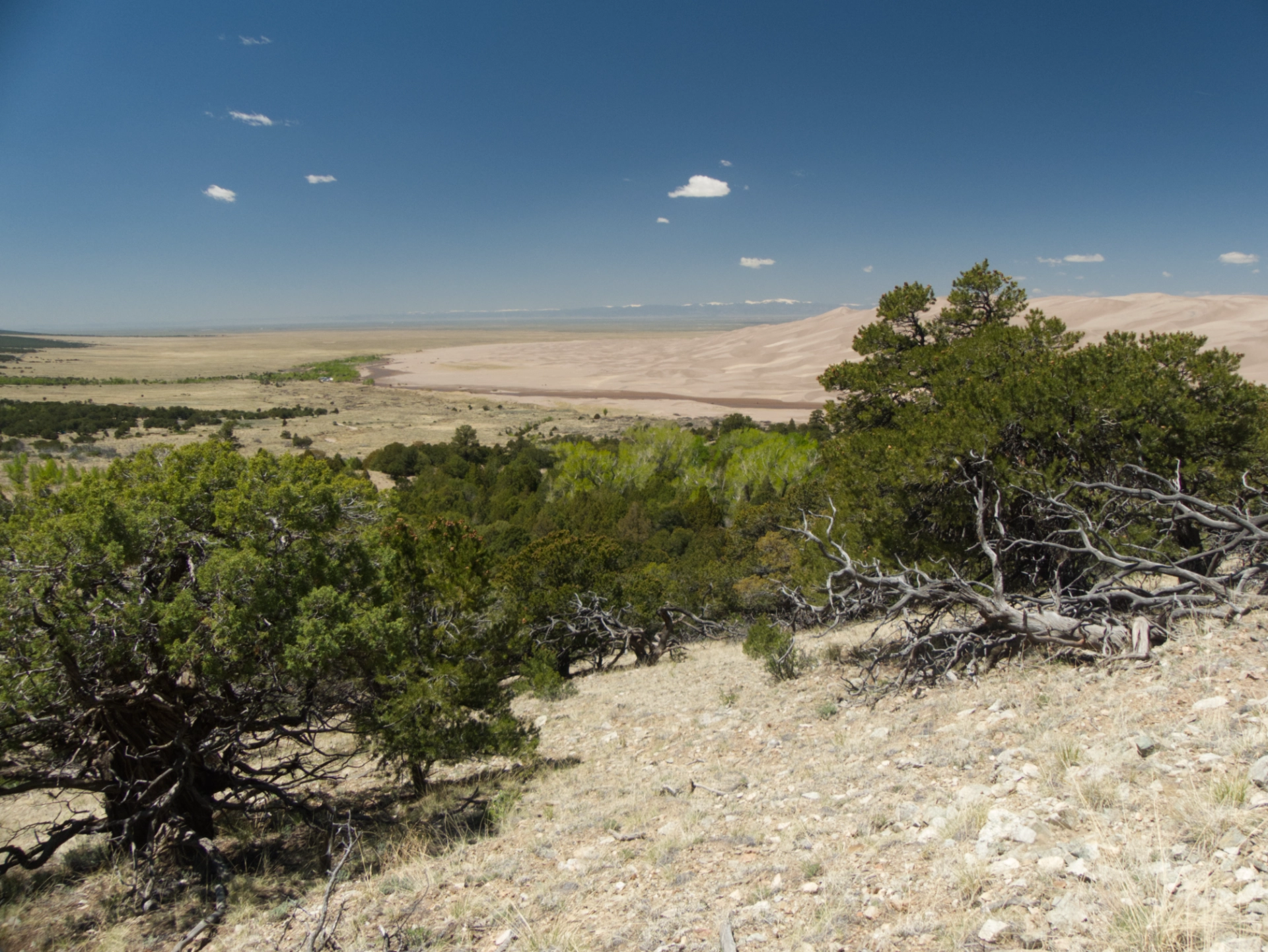
Great Sand Dunes

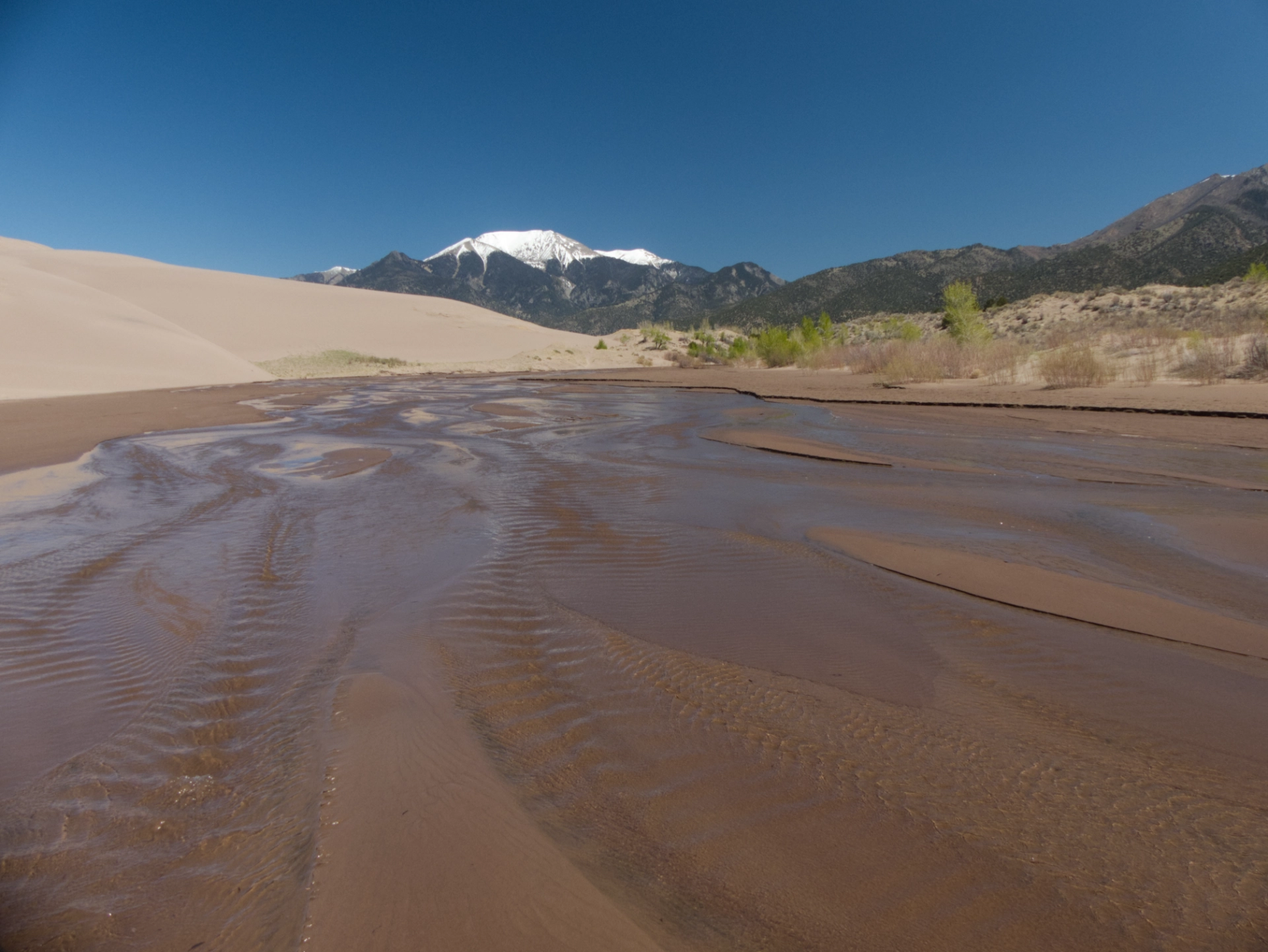
Great Sand Dunes, with Medano Creek flowing, and a blanket of snow on Mount Herard (13,345').
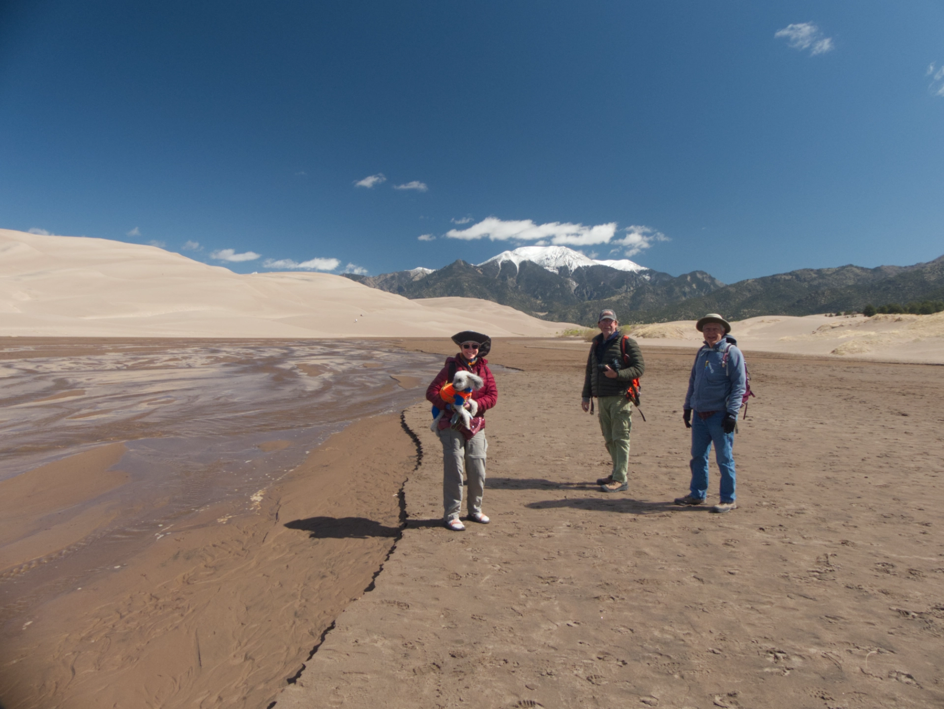
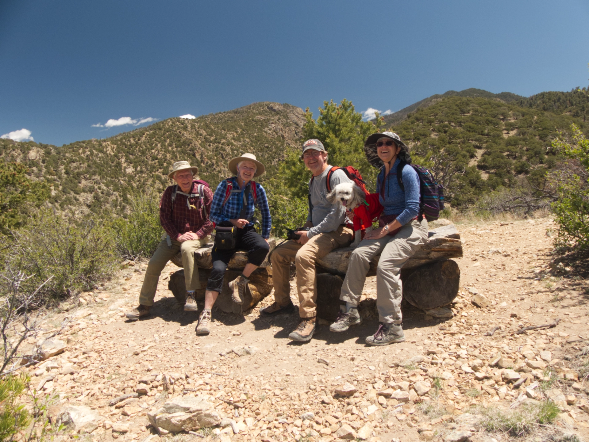
Jenna, Coconut, Chuck and Dennis at the dunes.
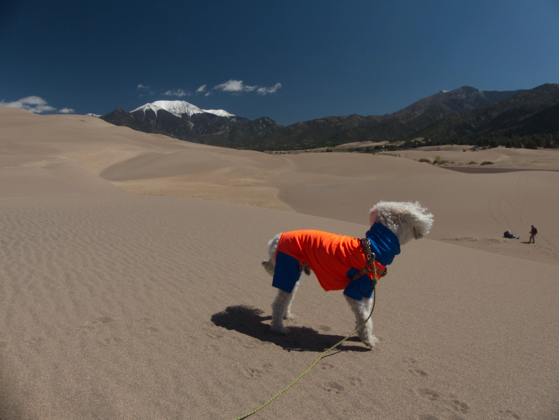
Coconut's Playdog Centerfold!

Jenna and Coconut.
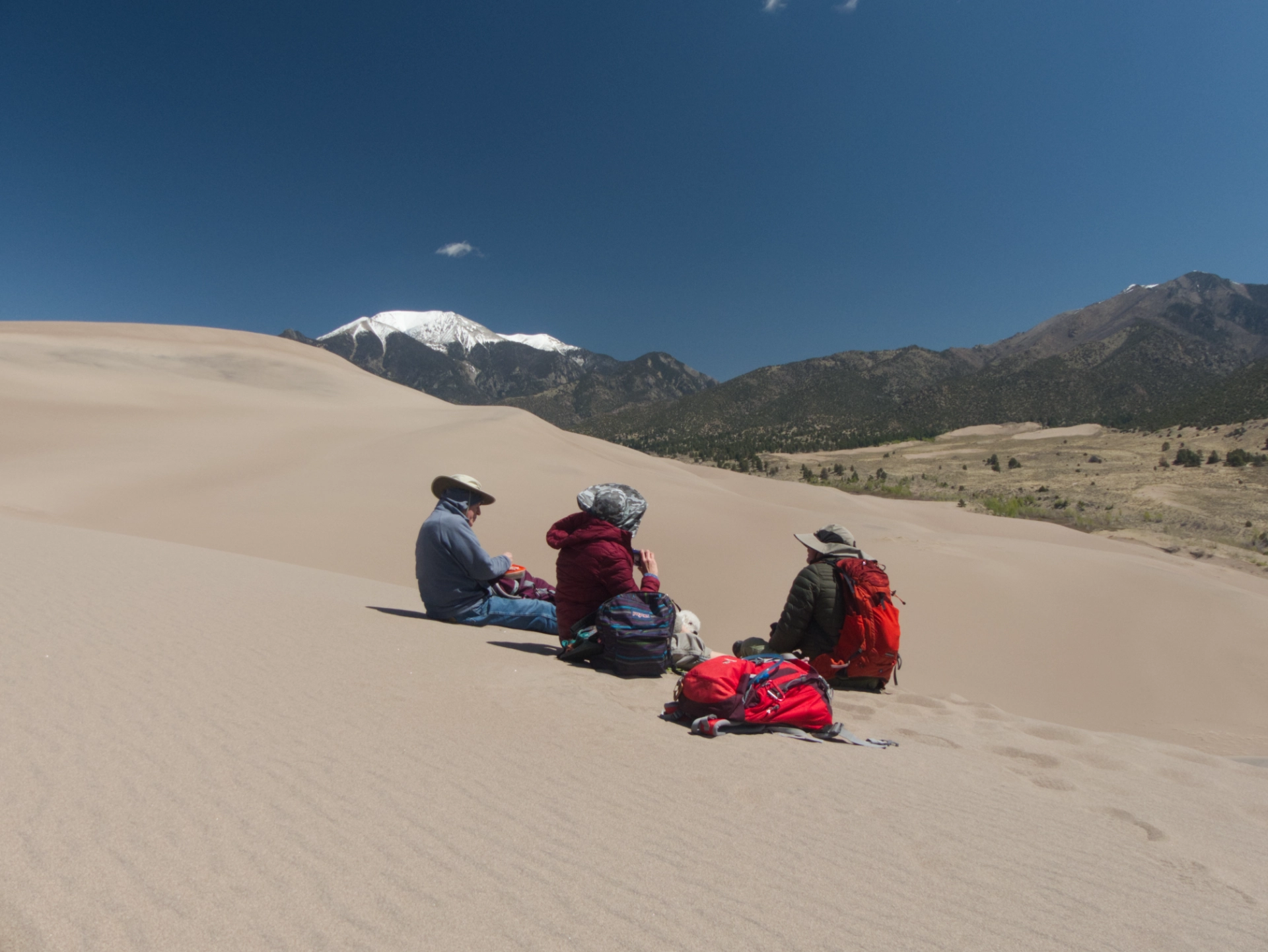
A picnic on the dunes.
Medano Creek in all its glory.
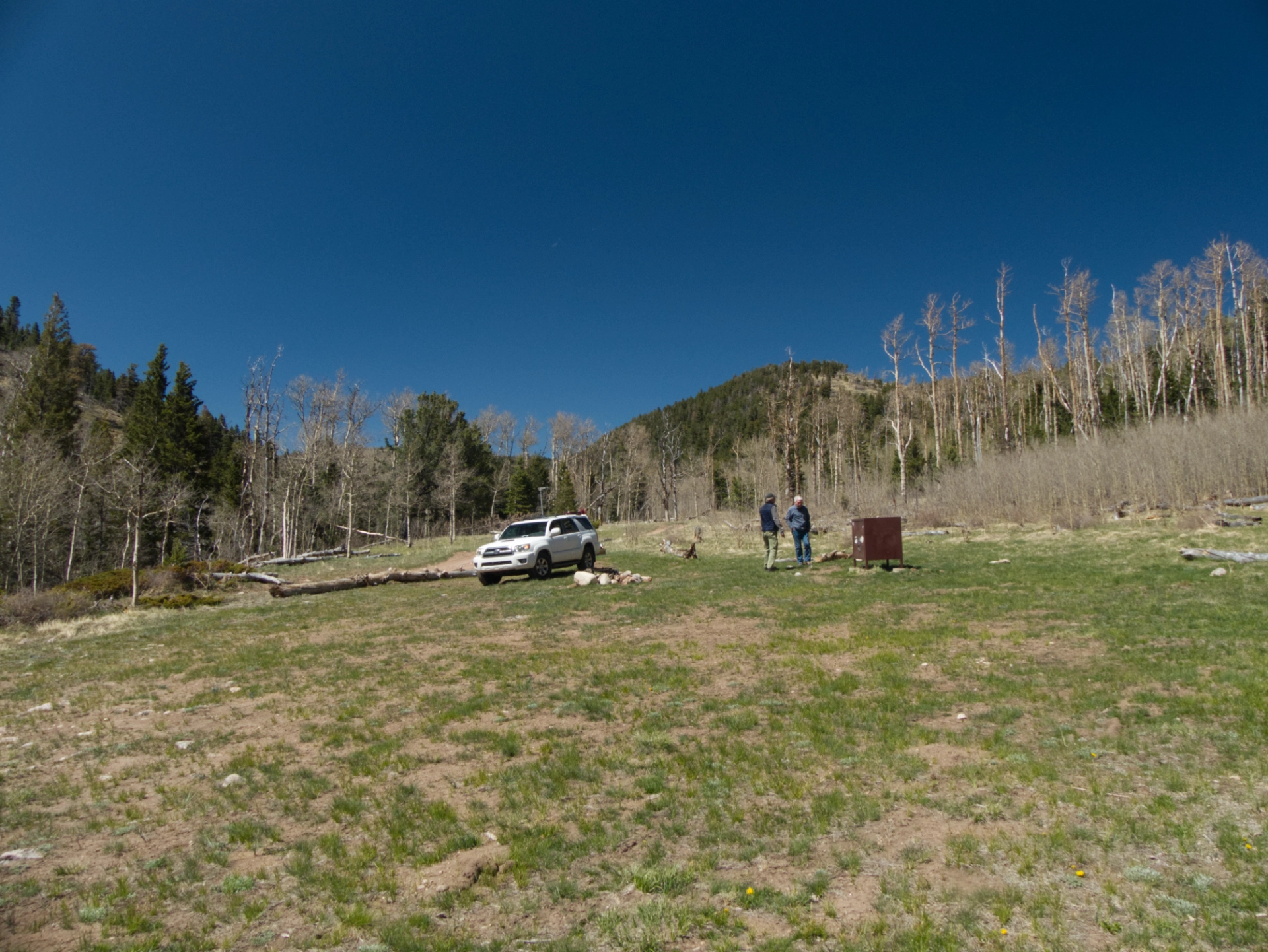
I've wanted to get to the top of Medano Pass for DECADES, but was never there with the right vehicle at the right time. Chuck volunteered to put his trusty Toyota to the test.
Medano Pass Primitive Road is a 22-mile road than runs from the dune field (elev. 8600') to Medano Pass (elev. 10,050'). It is an extremely rough 4WD track, with nine water crossings and miles of deep sand. The upper sections are subject to flooding and can be quite muddy.
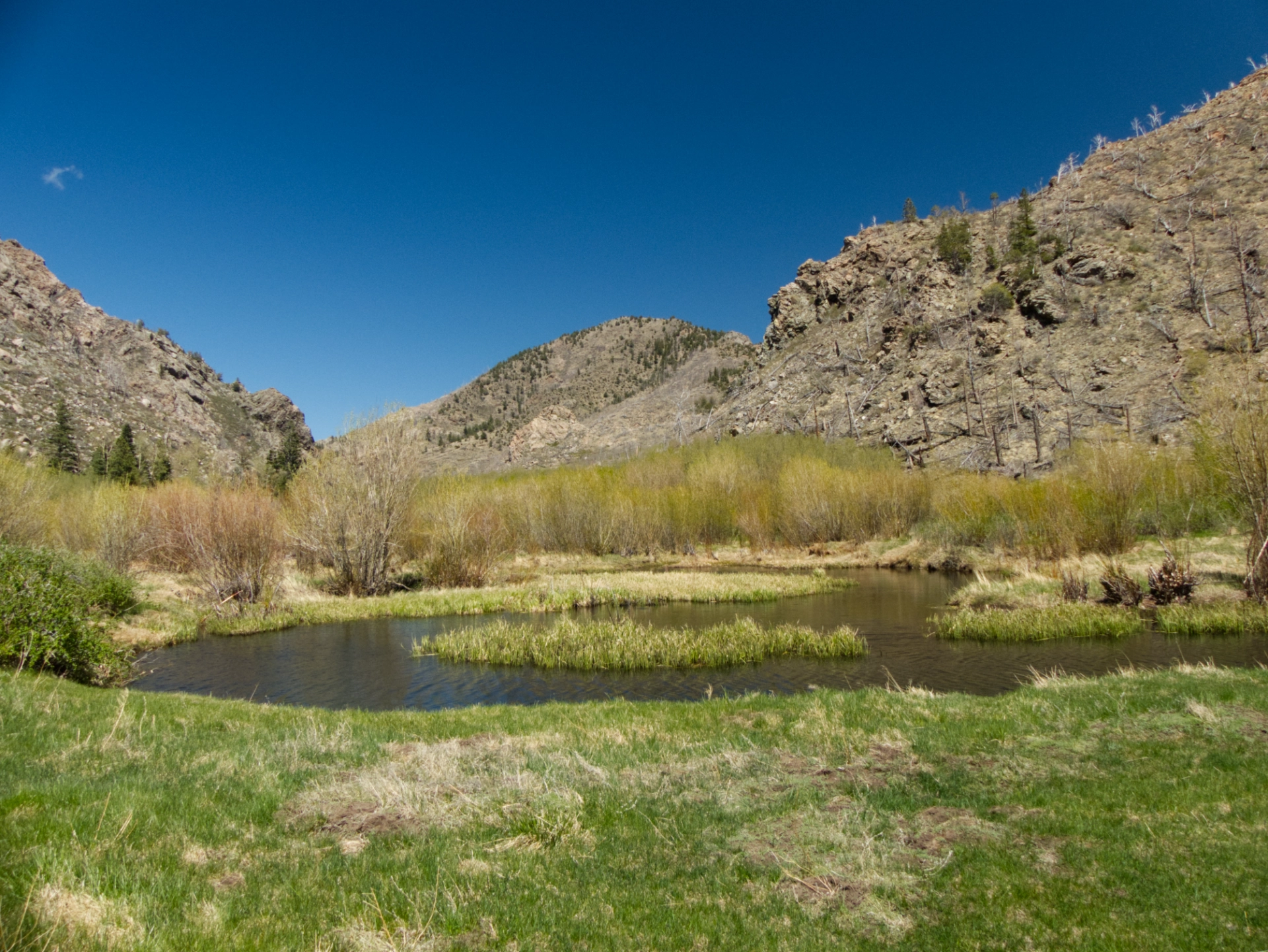
The Medano Fire swept through the pass in 2010, burning more than 5500 acres. Consequently the upper slopes are bare, while the valley is choked with young aspen trees. No doubt the beavers are quite happy with the current vegetation. There are HUGE dams and beaver lodges 4' high and 6' across near mile 8.8.
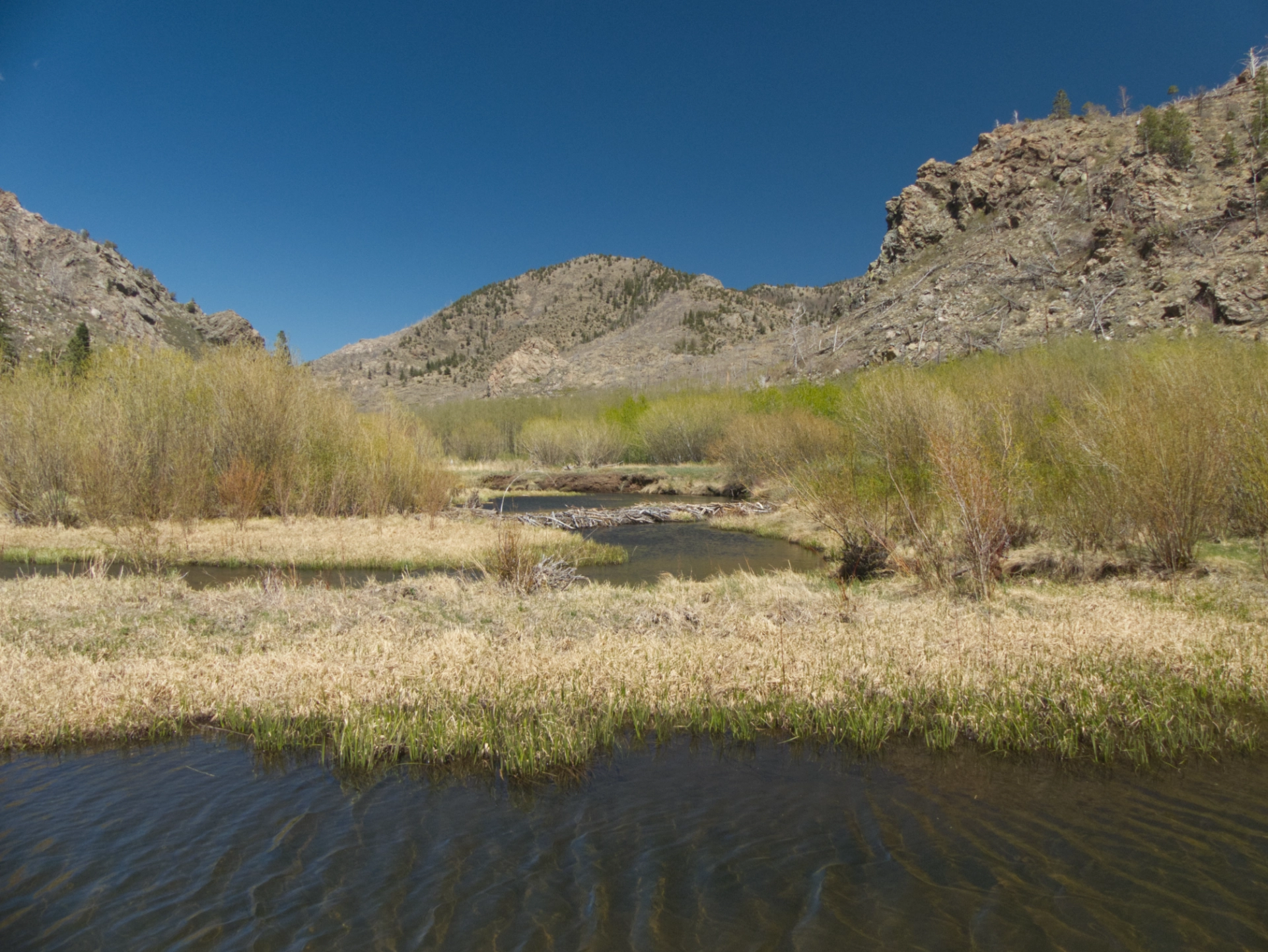
Give these eager engineers a few years and they will restore the entire watershed!
At campsite 5.1, about .9 miles from the top of the pass, we agreed that it was time to turn around.
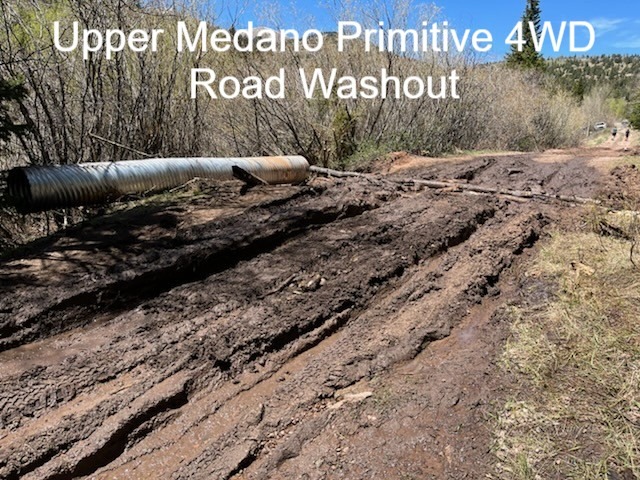
It was a wise decision. By Monday morning, the park Facebook page was full of reports of vehicles mired in mud near the Medano Lake Trailhead, .5 miles from the top of the pass.
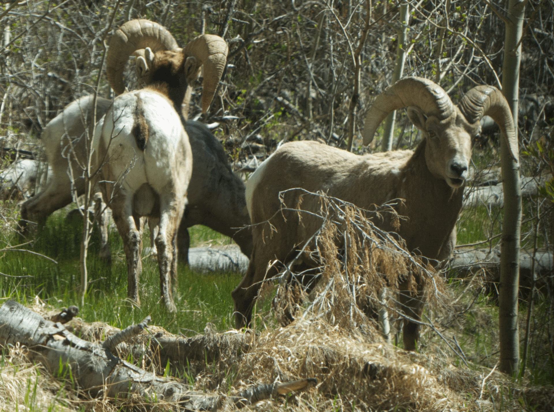
It was on the way down that we got the biggest thrill of an already exhilarating trip when we encountered a group of five bighorn rams near a water crossing. The guys were not the least bit concerned with our presence, and patiently posed for multiple photos before trundling off in search of even greener pastures.
Dunes Overlook
Day 3 at the Dunes. We did a short but quite lovely hike to the top of the Dunes Overlook Trail.
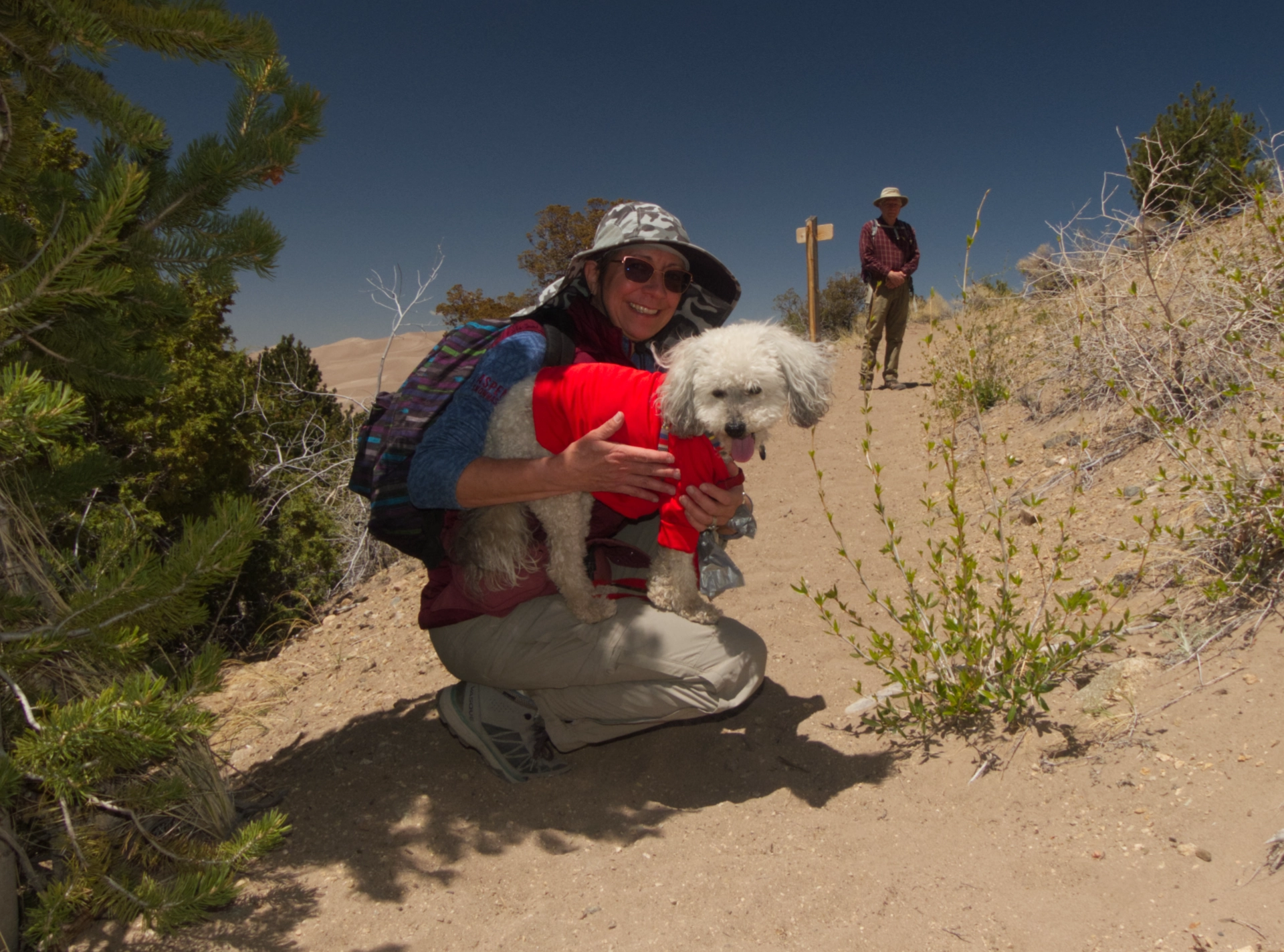
The very photogenic Jenna and Coconut on the Overlook Trail.
Herard Mountain.
Blanco Peak.
Great views over the top of the dunes to the San Luis Valley.
Group photo, through the magic of Photoshop: Dennis, me, Chuck, Coconut and Jenna.

Back in camp, with a picnic lunch of chicken burgers, coleslaw and baked beans. Candid shot of Chuck and Dennis. These two can talk tech until it peels the bark off the cottonwoods. Highly entertaining!
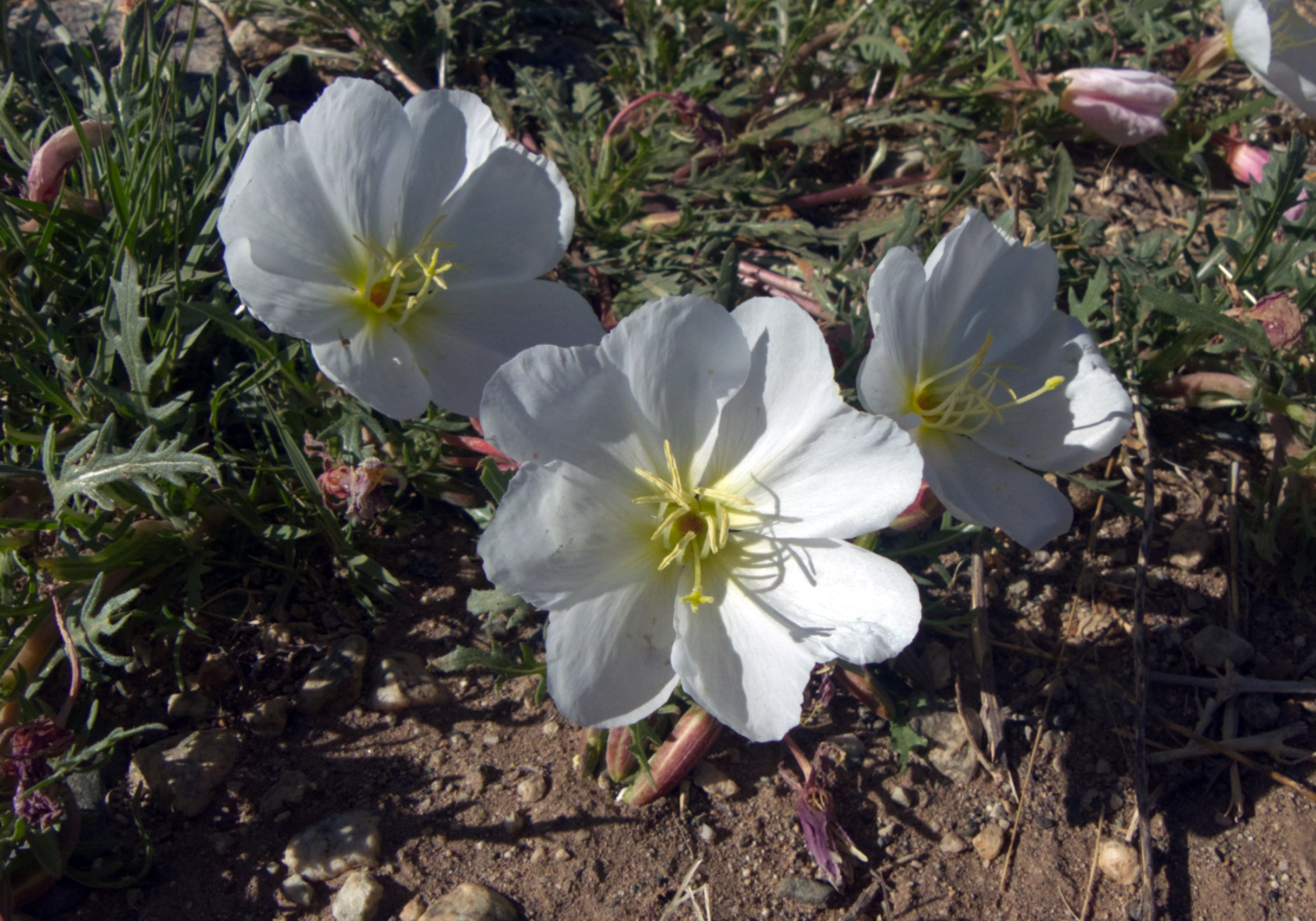
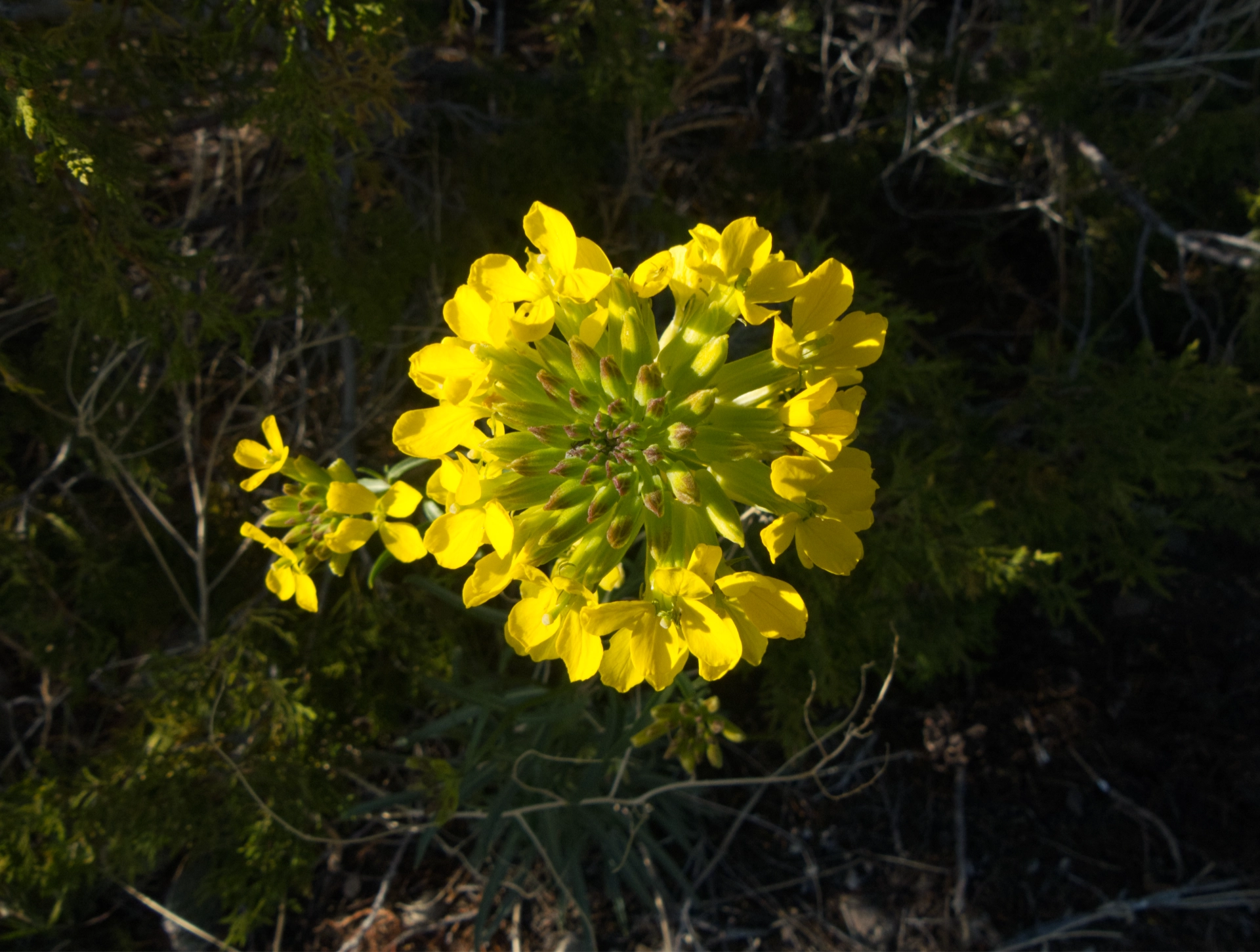
With the ongoing drought, we didn't see many flowers on this trip, but here are an evening primrose and a western wallflower.
Great Sand Dunes to Agua Piedra
All too soon, it was time to say goodbye to our friends and begin the slow meander back to Silver City. The weather had changed dramatically. Now the high temps were inching toward 90°, with gusty winds and blowing dust.

We stopped at our favorite coffee shop, the San Luis Coffee Company. In addition to a great coffee shop, San Luis is home to a the San Luis People's Market, a food cooperative housed in the historic 1857 R & R Market. The Market includes a milling operation, a performance space and a gallery of local arts and crafts. If things go south in Silver City, I think I could live quite happily in San Luis, Colorado.
NM 518 is a lovely drive through a deep forest and along the Rio del Pueblo. Near the junction with NM 75, we saw a woman sitting on a walker by her car, and nearby, another car, and a young man walking uphill in search of a cell signal. It took us a minute to figure out that the woman was having problems, and the young man was a good samaritan who stopped to help. As soon as we could safely pull off the road, Dennis looked up the nearest repeater and was able to summon a local ham, who patched us through to the State Police, who promised to send someone for a welfare check.
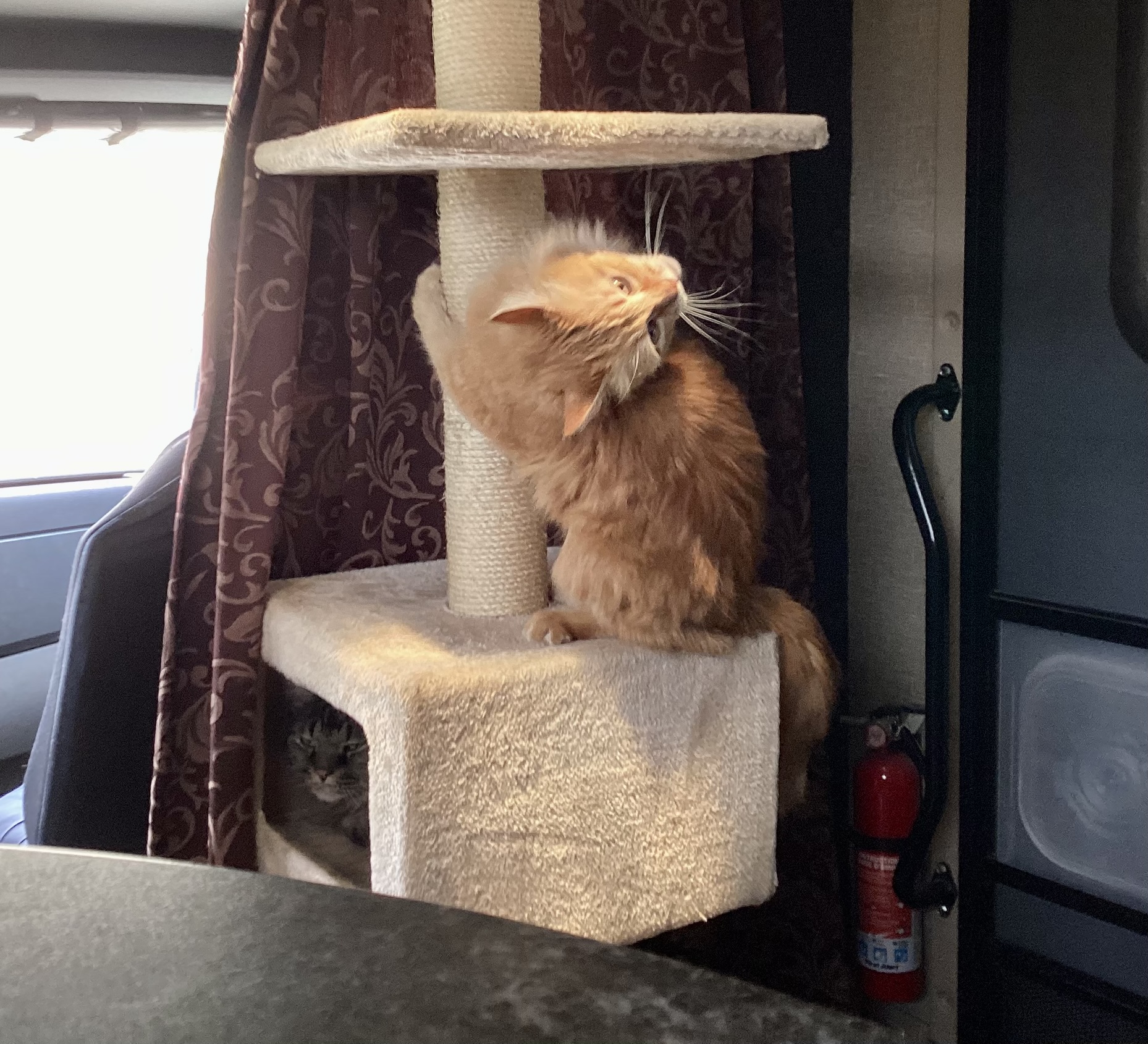
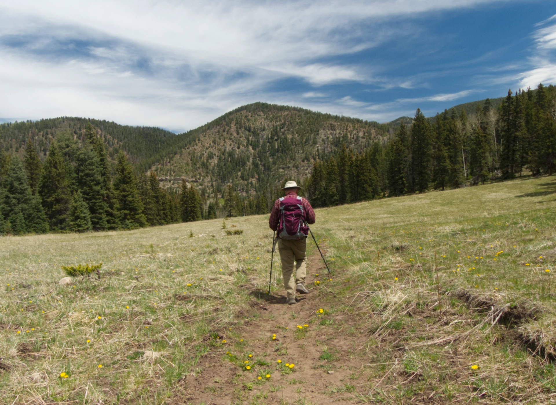
We camped that night at Agua Piedra, a very nice campground with multiple hiking trails. That evening Elio finally summoned the courage to go for a short walk on his leash.

Camping Cat.
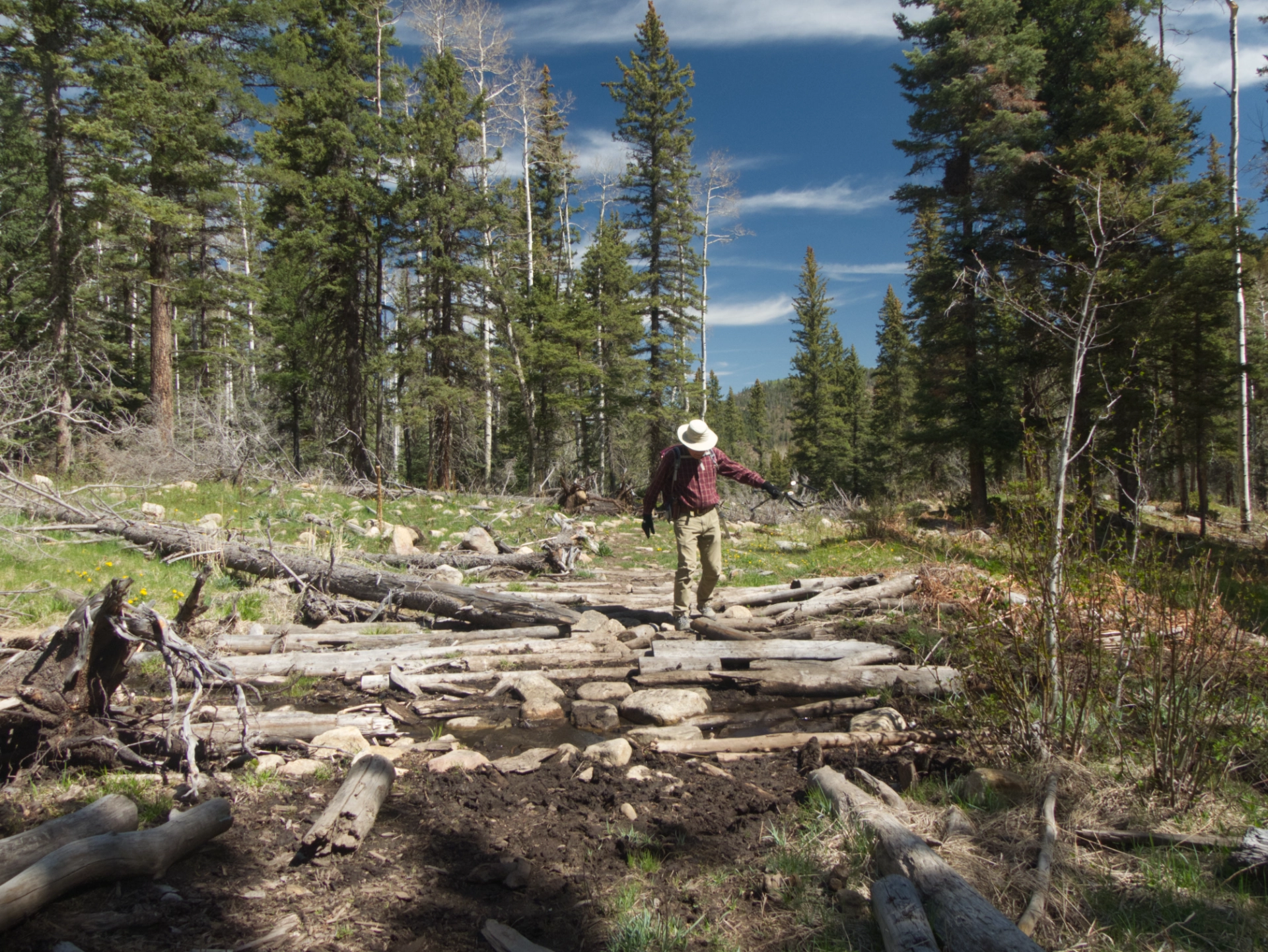
Next morning we hiked up Agua Piedra Creek. The creek was roaring and there were numerous tricky water crossings.
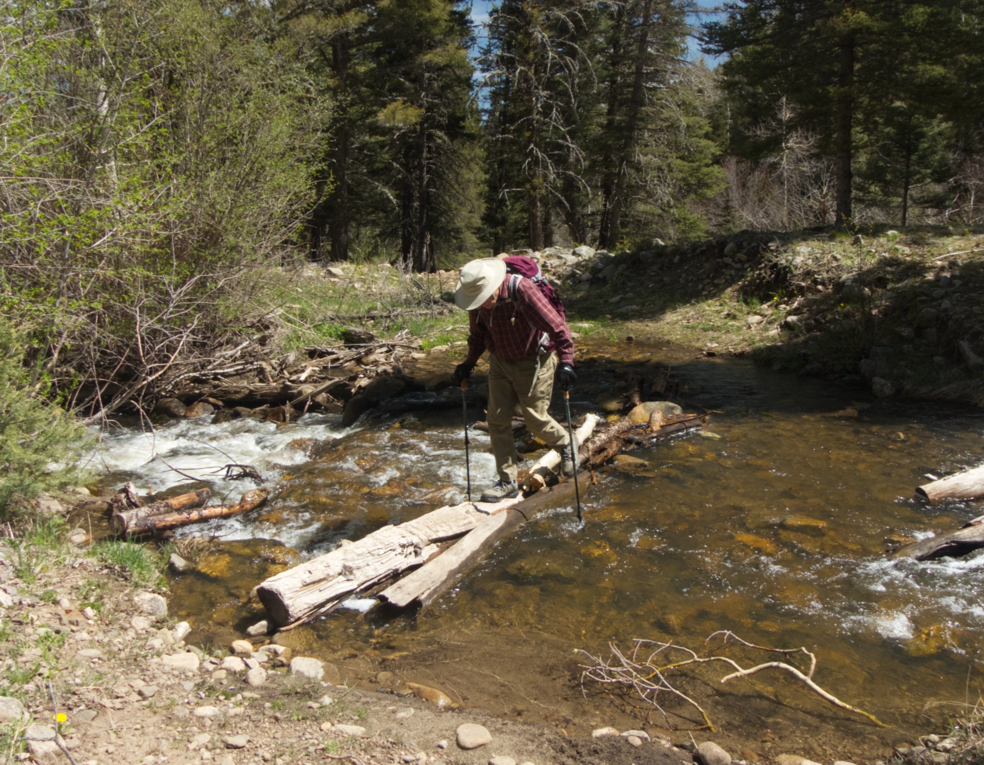
About two miles out, several creeks came together, and we spent a good half hour nudging downed logs into position to serve as a rudimentary bridge.
By then it was time to have lunch and hike back to camp.
Agua Piedra to Red Cloud
It was the toughest day of the trip. The wind was HOWLING, threatening to blow us off the road every inch of the way. We finally took refuge at Red Cloud Campground, in a Cibola National Forest outlier. At 7600', the well forested campground provided most welcome relief from the heat.
Red Cloud to Datil Wells
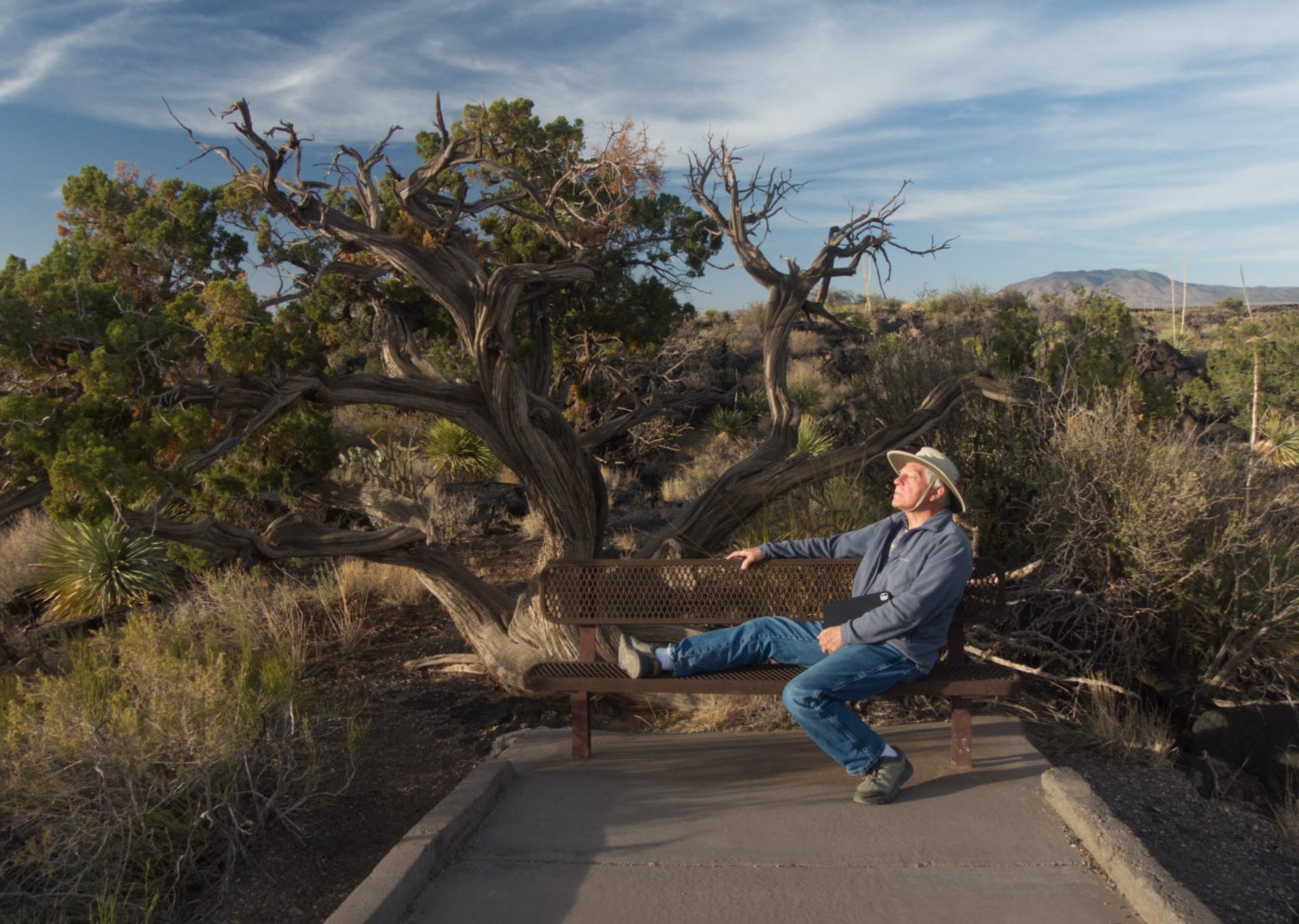
Happily landed at Datil Wells, our old standby. We decided to bushwhack through the forest from camp to the Eagle Guest Ranch for dinner. A very fun adventure and a great meal!
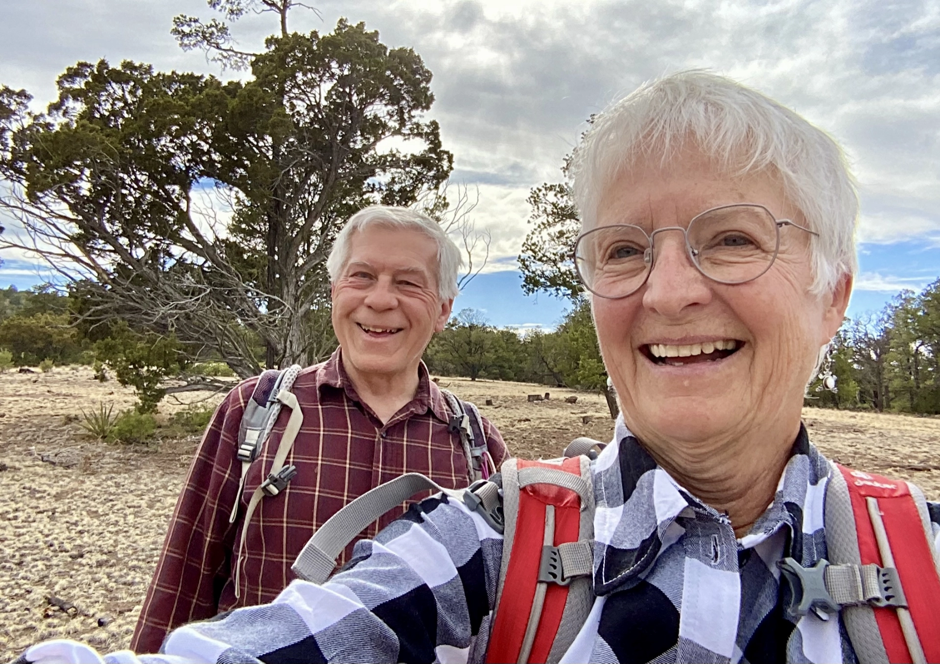
Home
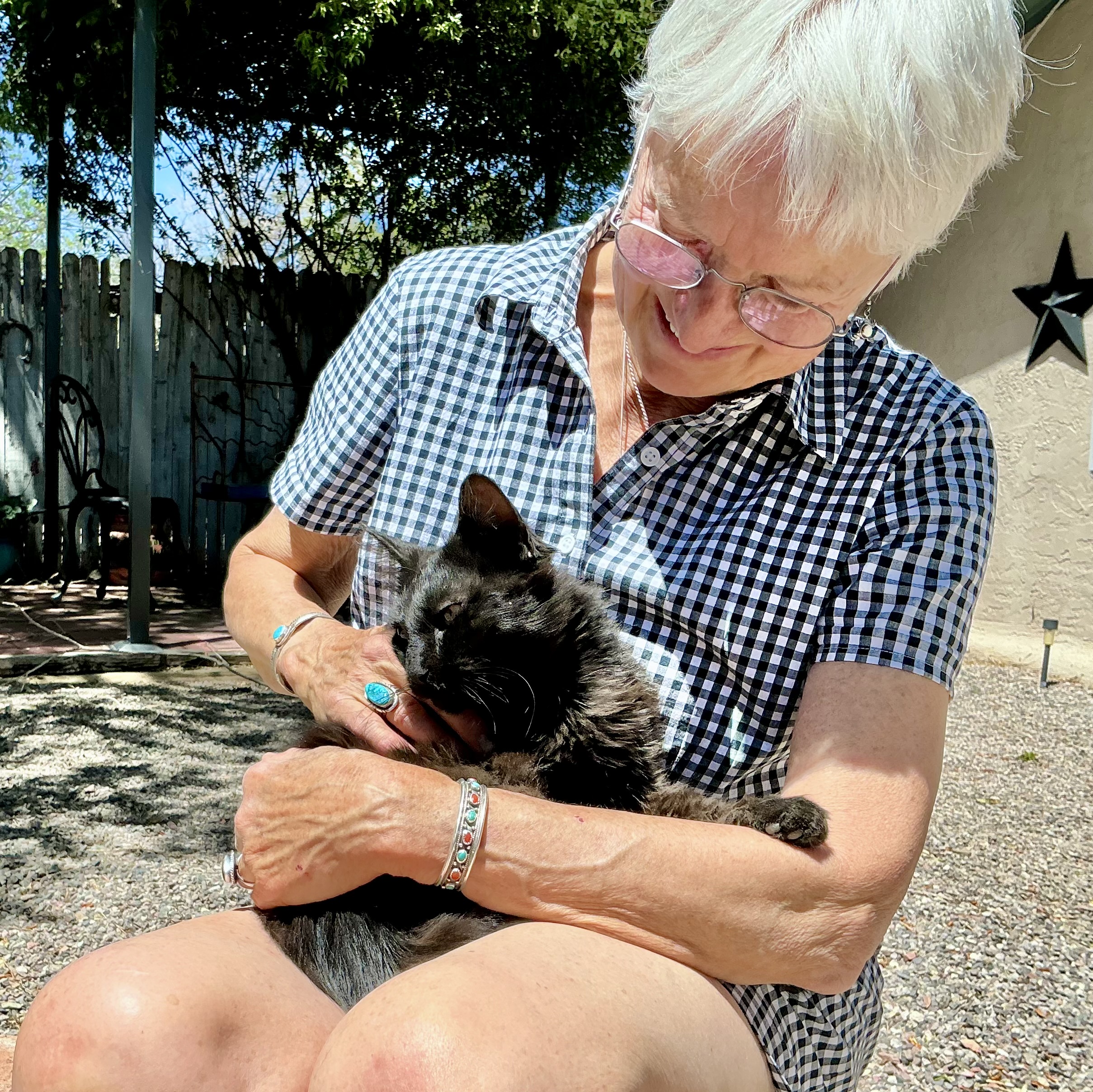

Home at last. Someone was very happy to see us!
