Chasing the Totality

Day Three: Escalante and Calf Creek Falls

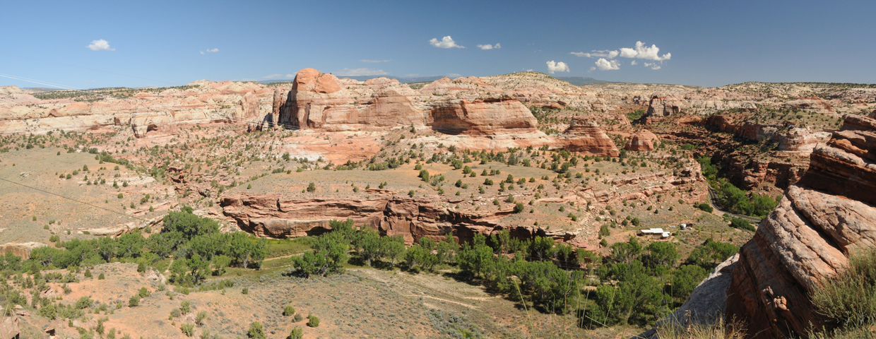
Just a few miles down route 12 we plunged into the colorful Escalante River Valley. Our map showed a trail from the valley floor to Escalante Natural Bridge. Let's go!

Escalante River Valley
But just a short distance down the trail we discovered that like most streams in the area, the Escalante was flooded and the current was too strong to risk crossing.
The consolation prize was lunch at the fabulous Kiva Coffeehouse on a bluff overlooking the valley.
A few more miles down the road we found ourselves at the trailhead for Calf Creek Falls. We hiked to the falls 12 years ago, on a bitterly cold winter day. A rainstorm was brewing but we decided to take our chances.
It rained on and off (just enough to discourage the hordes of tourists), but the canyon was so beautiful — gray-green grassy meadows billowing with sunflowers, purple asters and devil's paintbrush between vermillion rock walls streaked with desert varnish. The falls were flowing like mad and the ice green pool was much larger than we remembered.
I managed to swim up to the base of the falls, but the water was glacial.

We almost spent the night at the campground, but Dennis was looking for more elevation for ham radio, so we continued another 40 miles up UT 12, rough camping at Wildcat Pasture at 8800 feet. I need to take a moment here to thank our "chasers": Doug and Al, ham radio operators from Tucson, tracked our progress on APRS, and we talked to them on the radio almost every night. Their company definitely made a great trip even more enjoyable, since every night was an opportunity to find the "perfect" camping spot, with elevation and a clear horizon to Tucson. Not to mention the nightly entertainment watching Dennis use a 25-foot telescoping fiblerglas pole to position 160 feet of wire as high as possible on available tree branches!

Next: Nine Mile Canyon