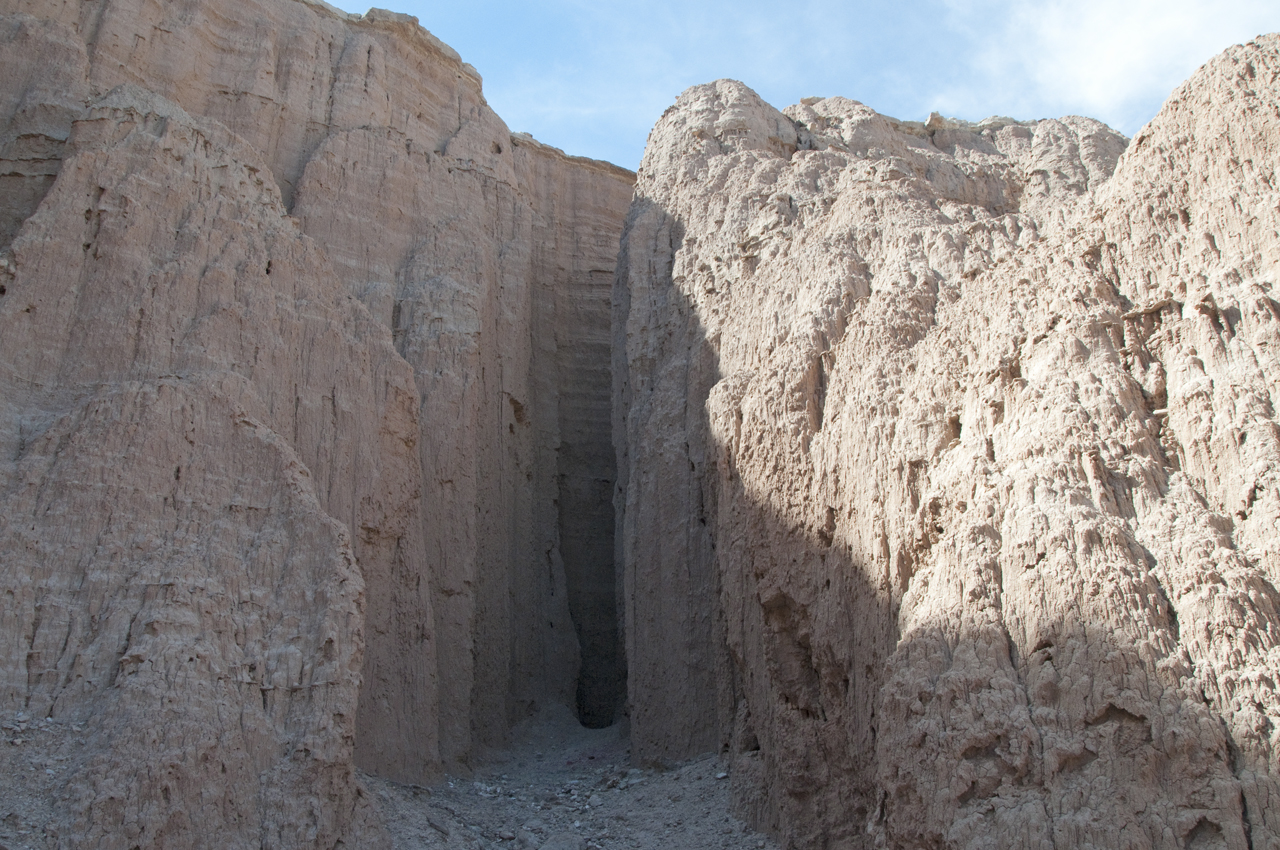
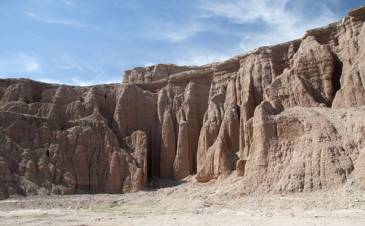
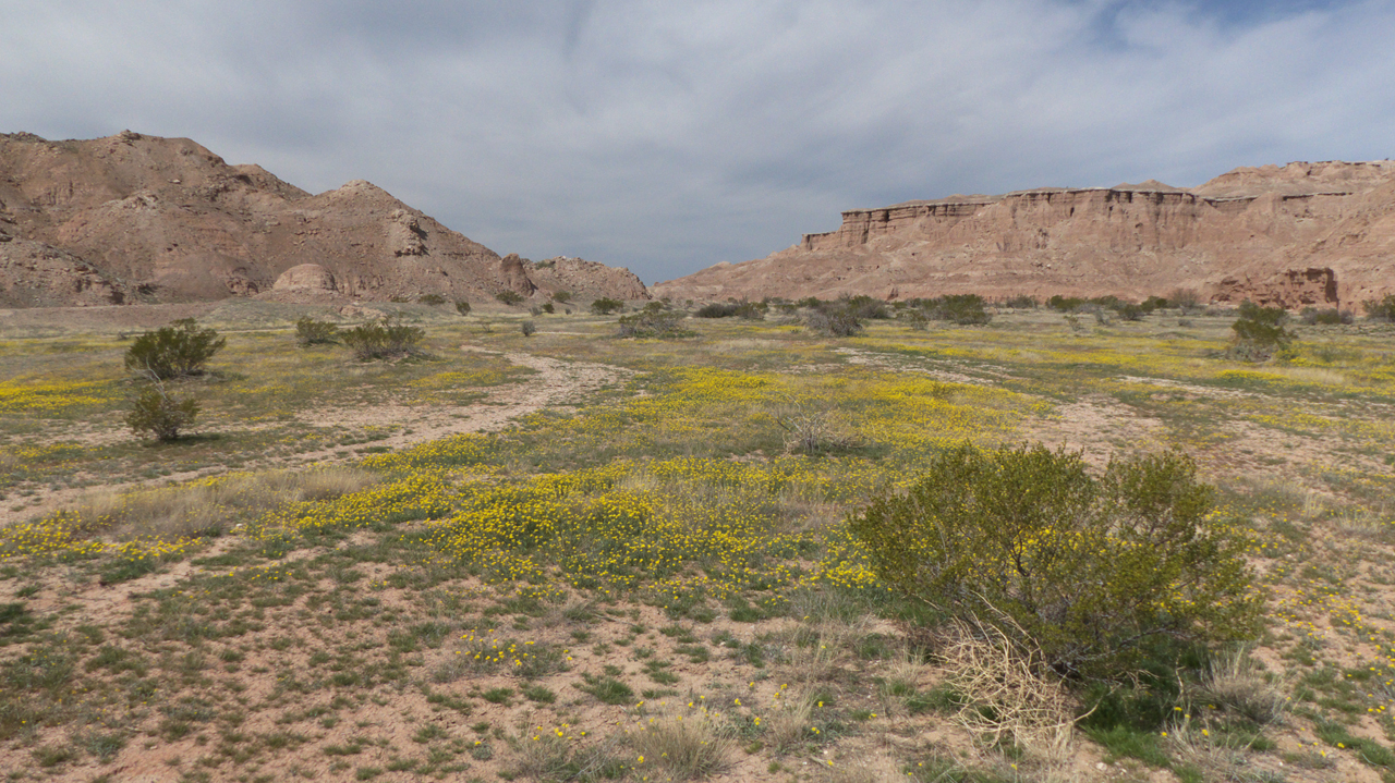
I stumbled on Red Knolls while researching another topic. At first I couldn't believe these Bryce-Canyon-like red formations were actually in Arizona.
As I dug deeper,
I learned that the area has been well-known since the days of the Spanish Conquistadors, and it has a truly fascintating history.
Some researchers have
suggested that the red eathern towers may have been the ancient village of
Chichilticale, or "red house" mentioned in
the journals of Fray Marcos de Niza.
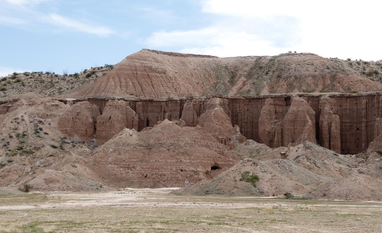
"Red Knolls was most likely the deepest part of the lake bed and dried out last in the Valley. The deposits were then preserved and compacted
there as far back as the Pleiostocene Epoch more than 100,000 years ago."
.
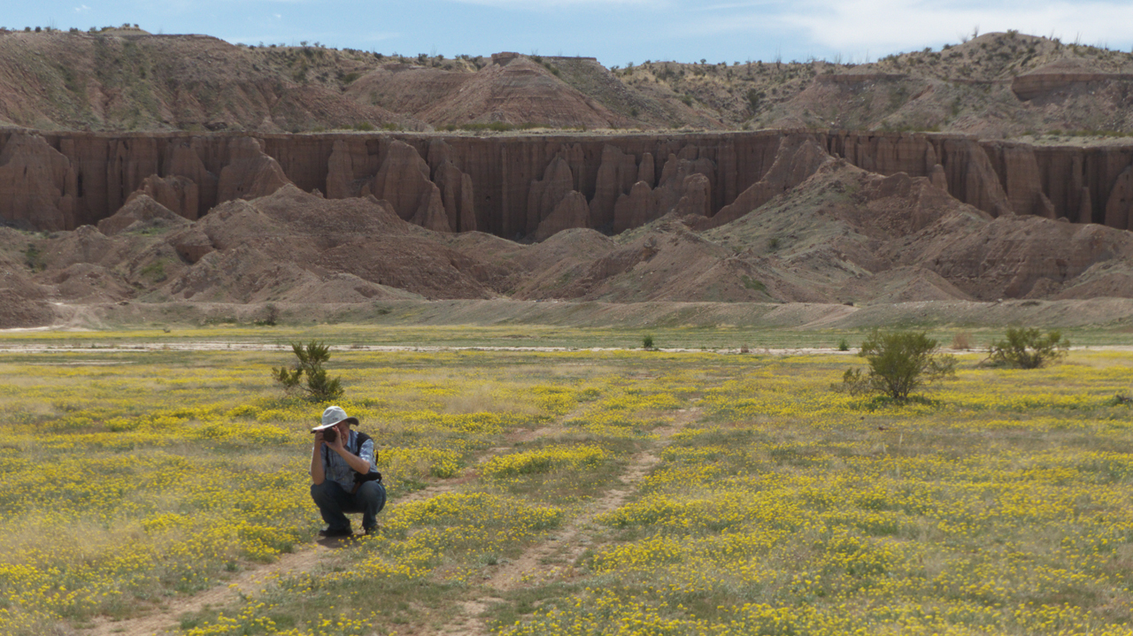
In the last century, Eastern Arizona College used the site for theatrical performances and other events.Unfortunately, in recent years the site has primarily been used as a dumping
ground for construction waste and the place to go if you want to drink beer
and shoot up your big scrren TV, refrigerator or toaster.
The ground at this remarkable site is littered
with shell casings, broken glass and nails.We walked around an hour or two and them moved on to Bonita Creek, looking for a prime camping spot.
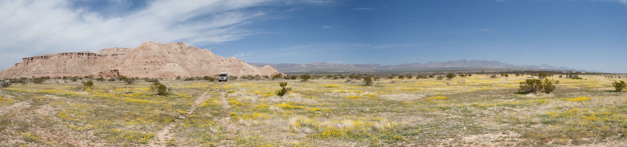
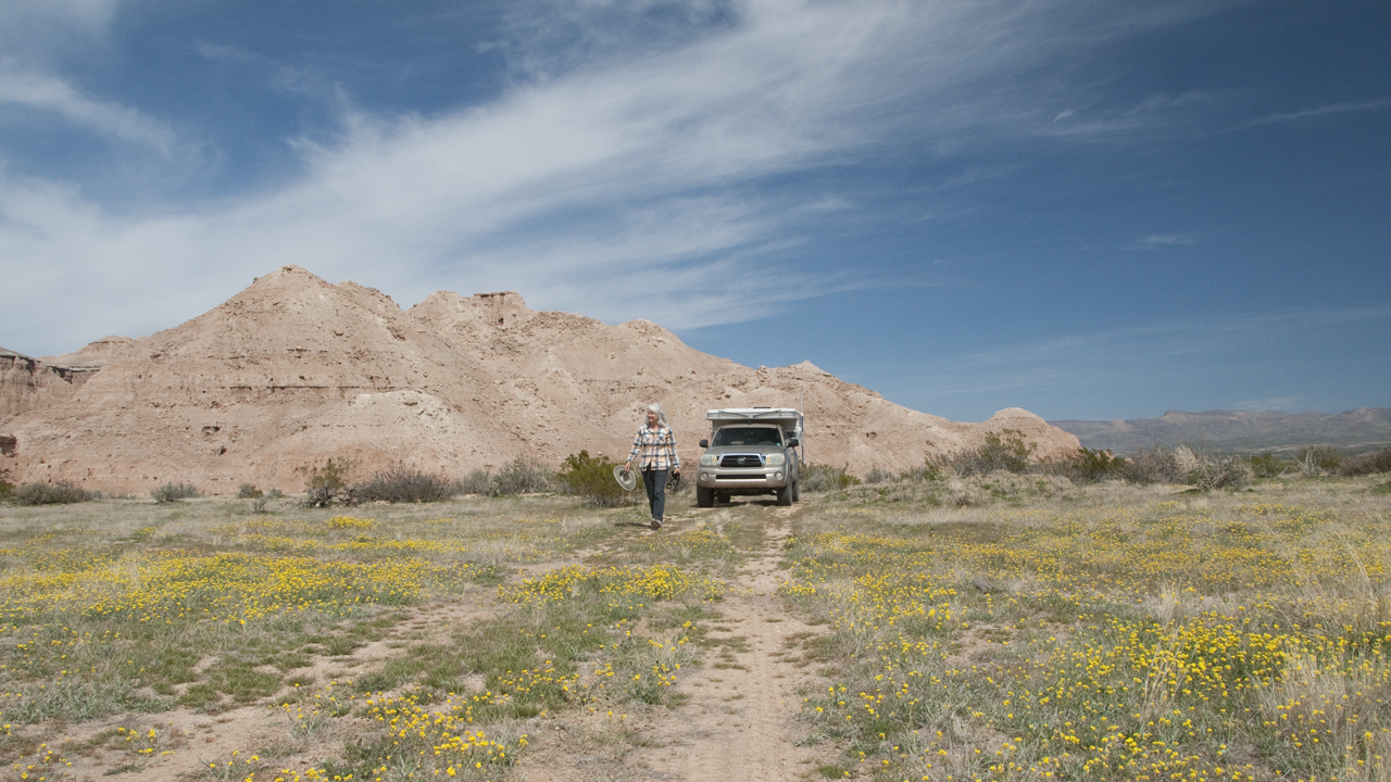
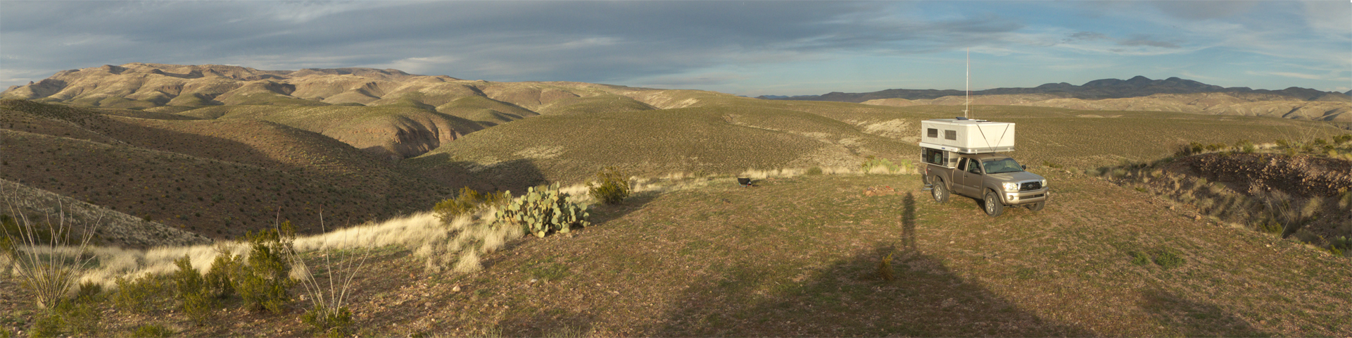
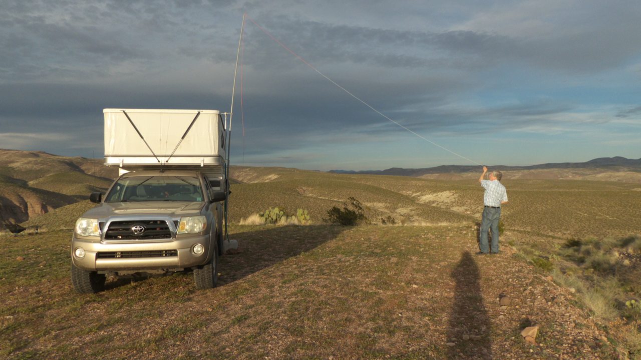
Like many of our trips, this one made us profoundly grateful for our
combination Toyota Tacoma and Four Wheel camper, providing access to utterly remote and spectacularly beautiful places to camp.
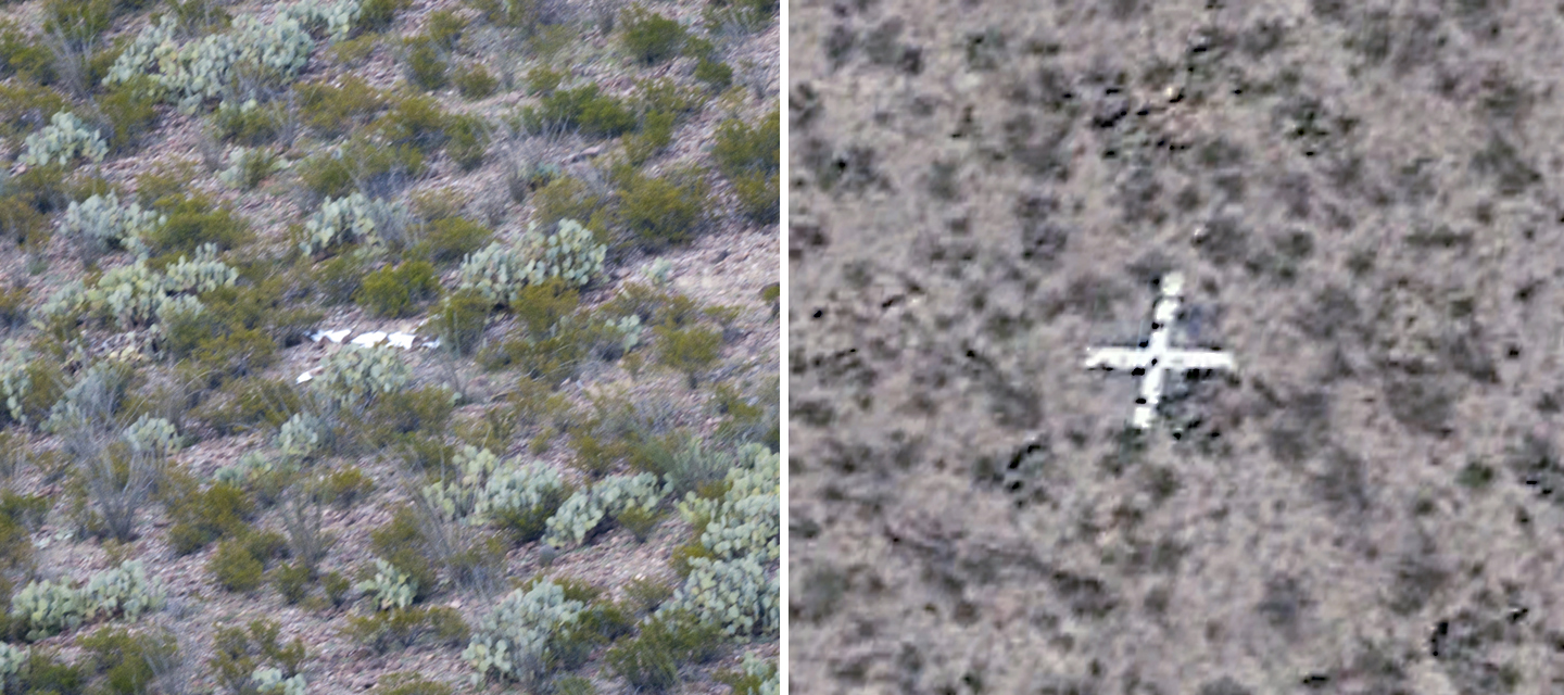
While admiring the sunset view, we spotted this large white object on the
oppsosite side of the canyon. At first we thought it might be a crash site. On a hunch, Dennis searched Google Earth for satellite photos, and found
a 2014 image showing a white survey cross. This photo shows the 2017 and 2014 images.
Dennis looped a long wire across a nearby canyon and had a great evening
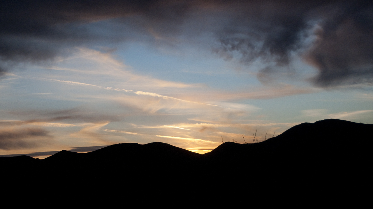
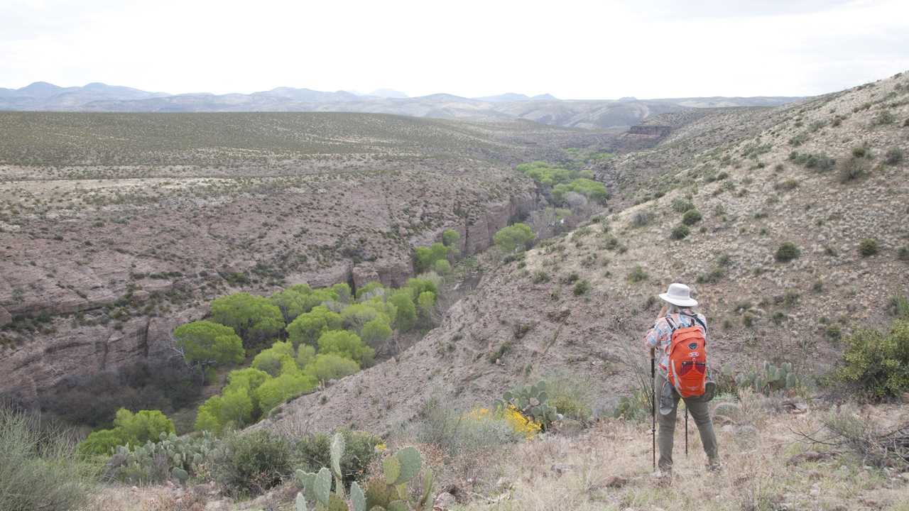
QSO on 160 meters.Dramatic sunset, weather moving in.In the morning, we tried to reach the creek by bushwhacking down the nose
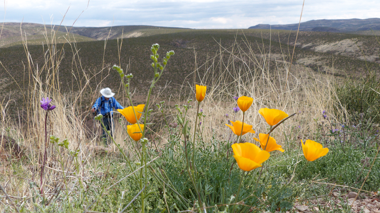
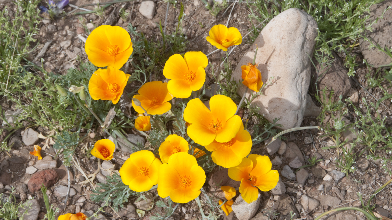
of the ridge. We got to withing 50 feet when we were stopped by a dry waterfall.The first wildflowers of the year: Mexican poppies, blue dick, Mexican lupine,
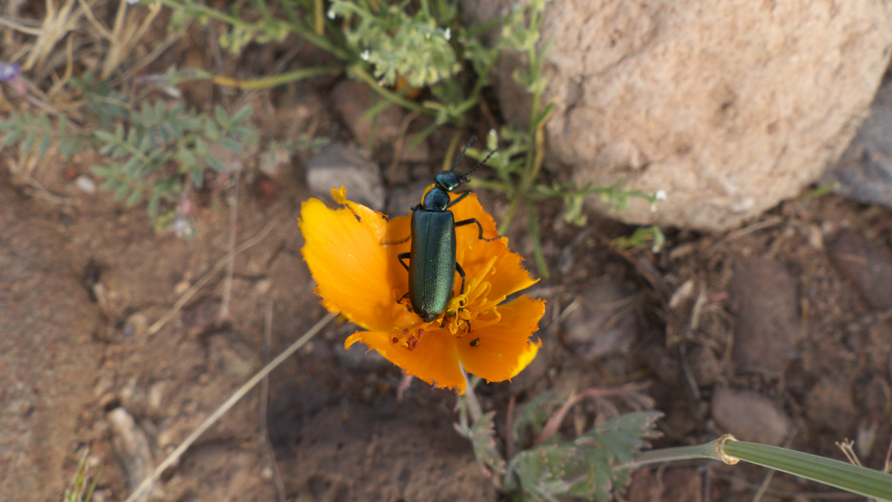
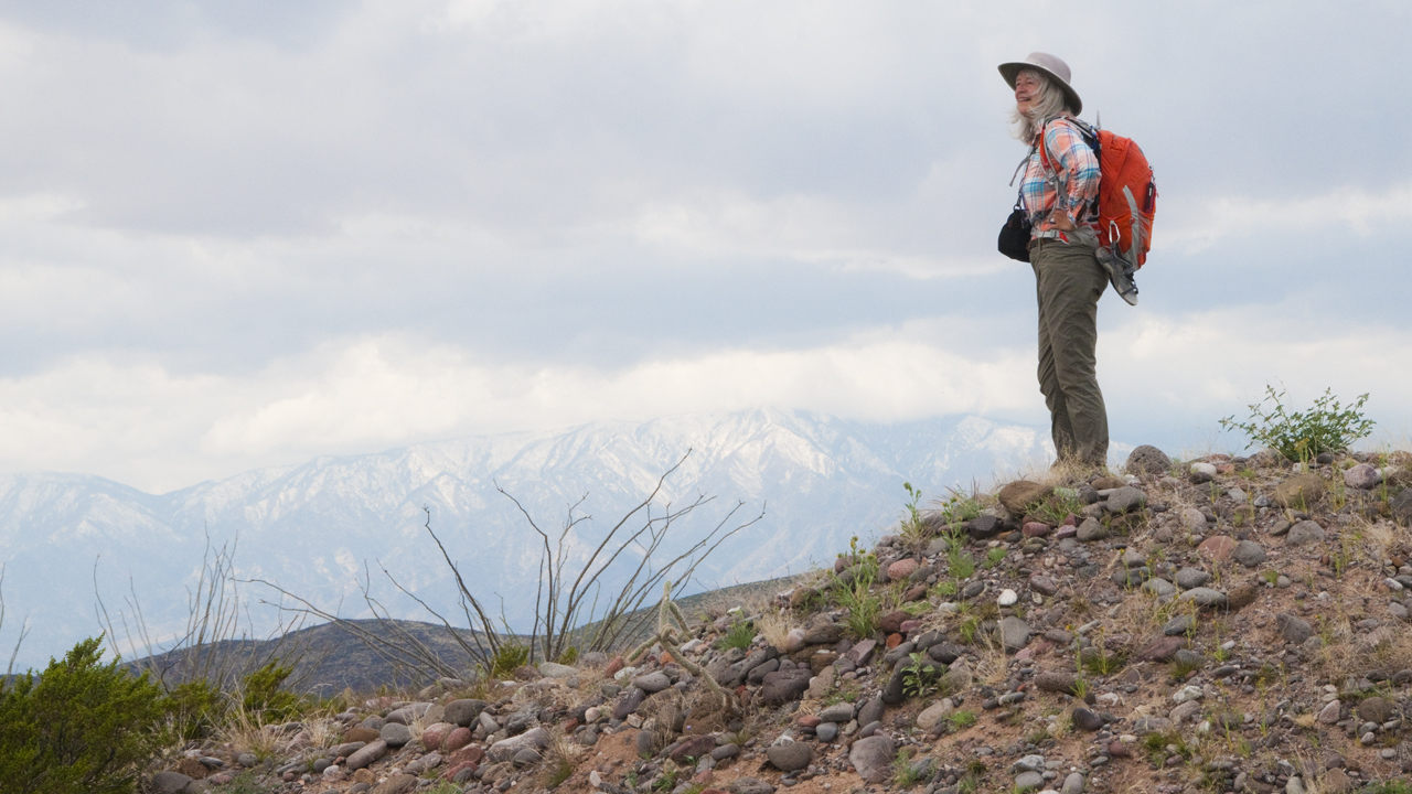
tackstem and phacelia.Green Metallic Beetle and Mexican Lupine.In early March there was still plenty of snow on Mount Graham.
There is real adventure to be had in eastern
Arizona. For one thing, no two maps agree on the configuration of roads in the area. I was constantly flipping back and forth between USGS Topo and ESRI Wolrd Imagery,
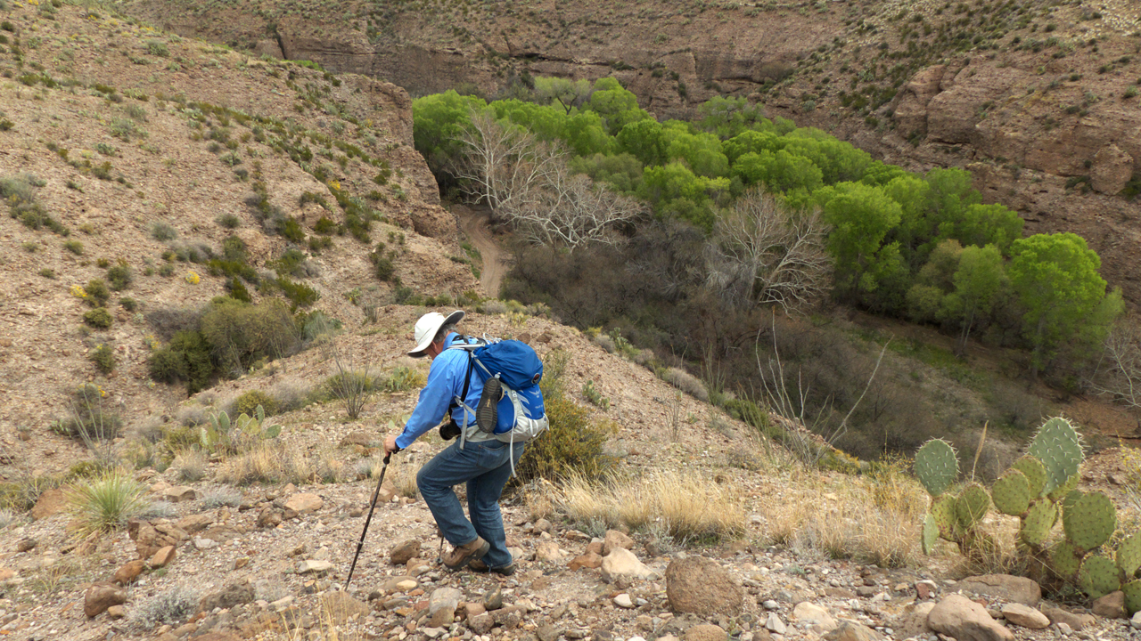
and neither one truly reflected what as on the ground. In the end, we just followed one road after another, and were astonished when we suddenly found
ourselves in the creek. We were able to work our way about three miles and 15 water crossings upstream. We turned back when the water got too deep for us,
but the road continues, and so will our explorations of this area!