It's been a crazy couple of months! In April, Dennis and I were thrilled to be invited to film the Javelina
Chase an annual event that draws competitive and non-competitive cyclists to the small southeastern Arizona town of Duncan, Arizona.
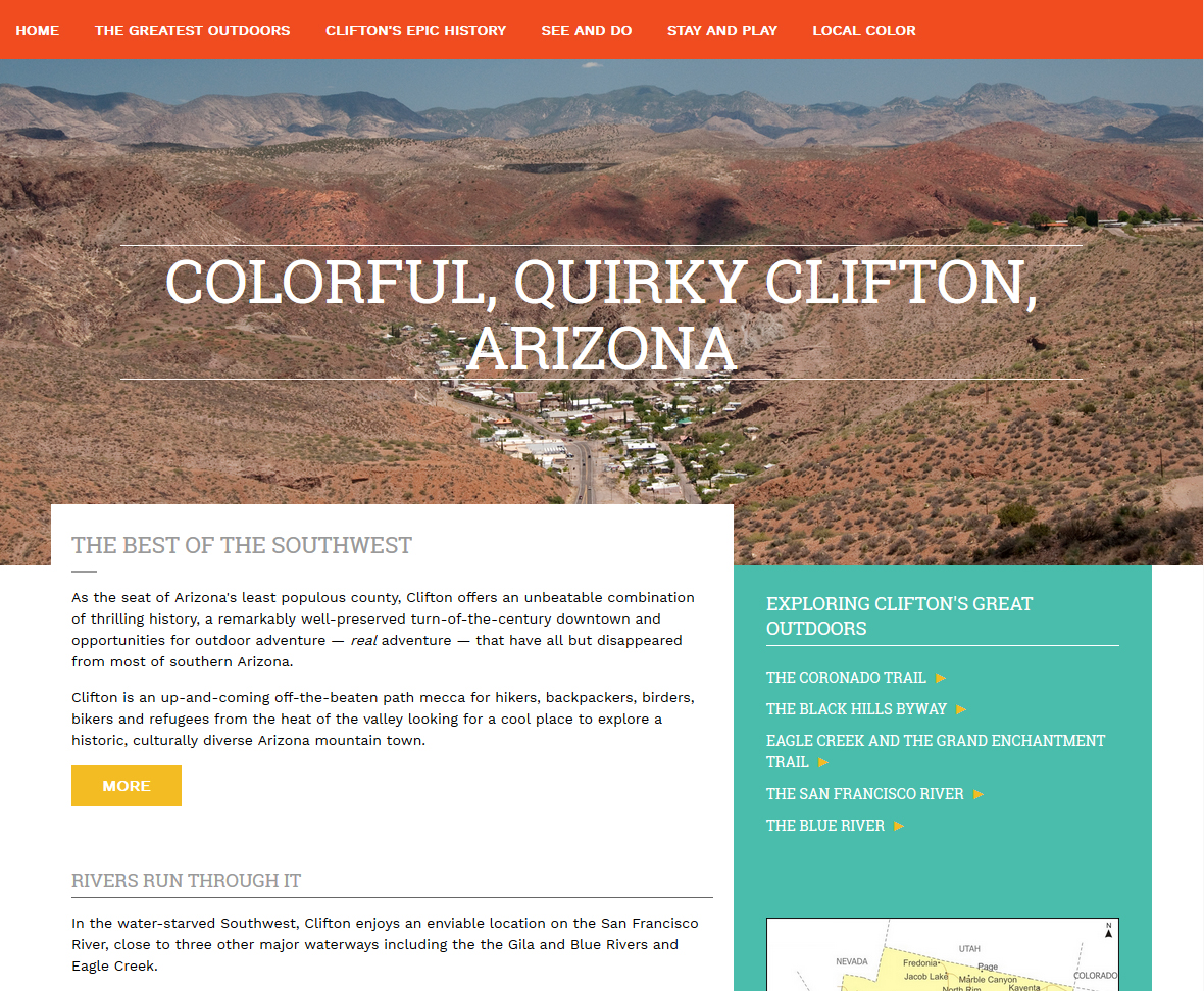
Then a few weeks later we were recruited to build a website promoting Clifton, a former mining town in eastern Arizona
that's making a comeback as a haven for artists and a destination for hikers, backpackers, birders, bikers and refugees from the heat of the valley looking. The website,
cometoclifton.com launched in late May, along with a companion
Facebook page and both have been getting a lot of traction, especially since the Tucson Weekly featured
Clifton in its cover story for June 28, 2018.
"Colorful, Quirky Clifton, Arizona" launched on May 29, 2018.Things have been picking up in eastern Arizona. Here
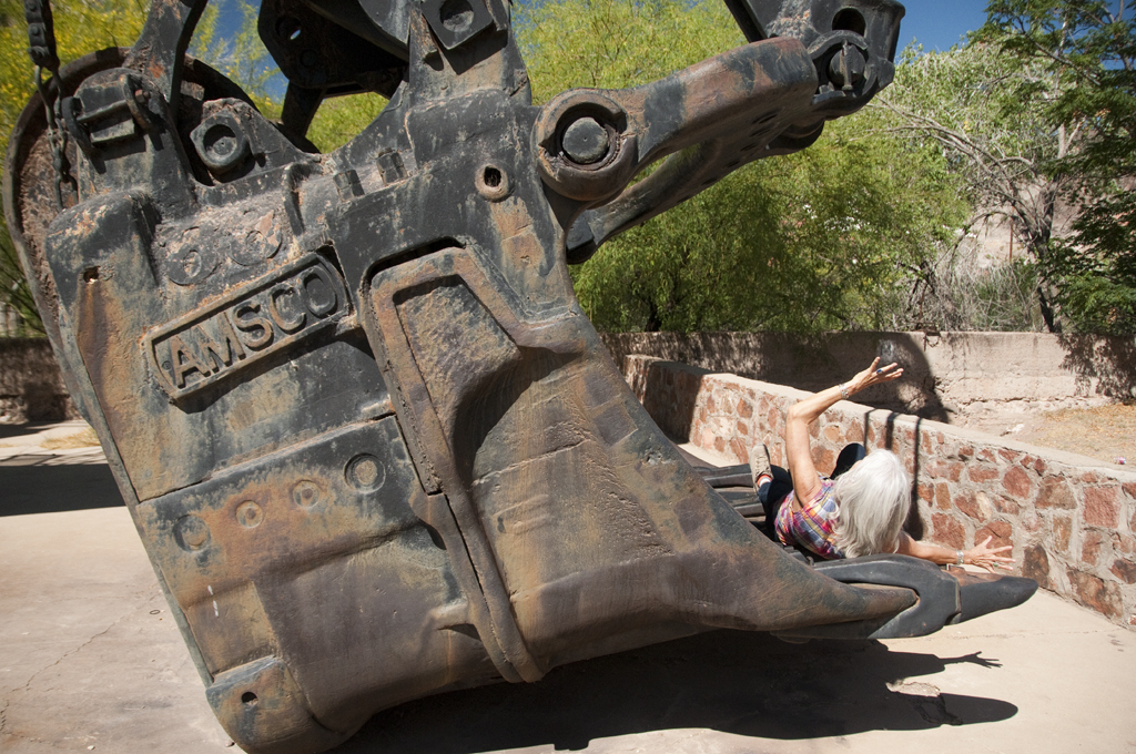
I am literally being picked up by an antique steam shovel parked near the Zorilla Bridge in Clifton.One of our most memorable days in Clifton was when backwash from a tropical storm brought us
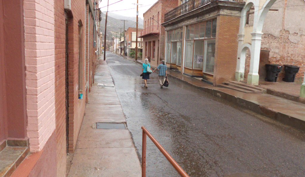
the first rain in more than 100 days.It's been a great fun getting to know some of the folks in the Clifton, including Jack the Cat,
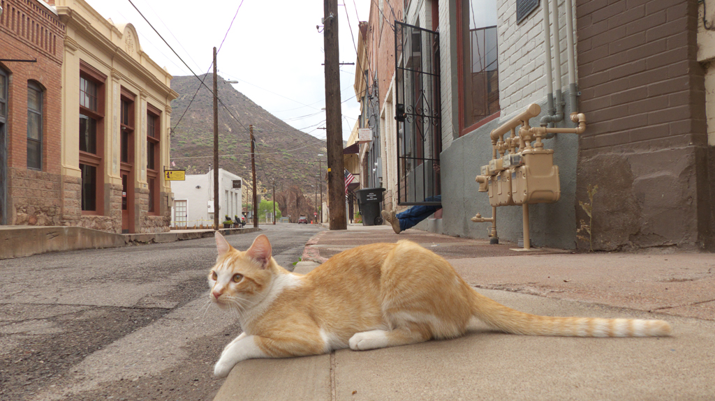
who has a full-time job patrolling Chase Creek Street.One of the most remarkable features of Clifton
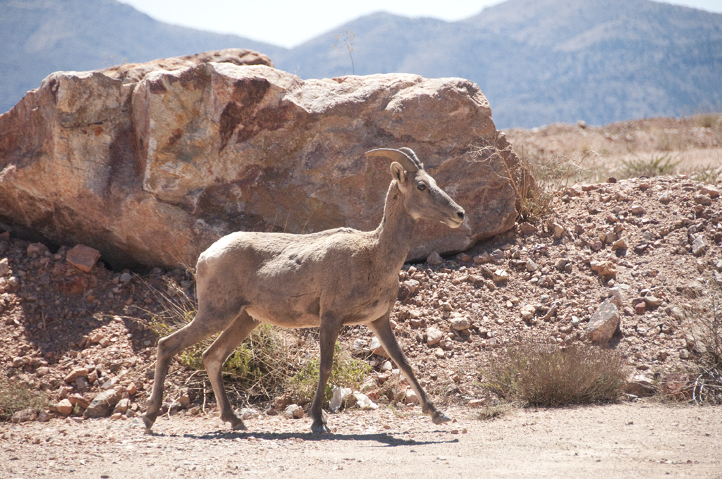
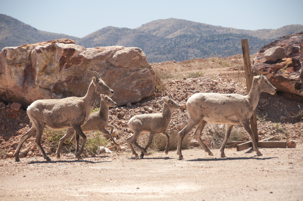
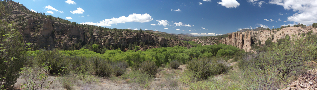
is the presence of bighorn sheep. They are backyard wildlife in this former mining town. You may encounter them grazing at the city park, peering down at you from the cliff behind Chase Creek Street, or crossing Route 191.The sheep are believed to have migrated from the Mogollon Rim to the Clifton area in the 1960s, following the San Francisco River. Today there are so many sheep in the area that Arizona Game and Fish has been capturing and relocating some of them to establish new herds in historic habitat in eastern and central Arizona.As we made trip after trip to Clifton, we were drawn farther north, past the mine,
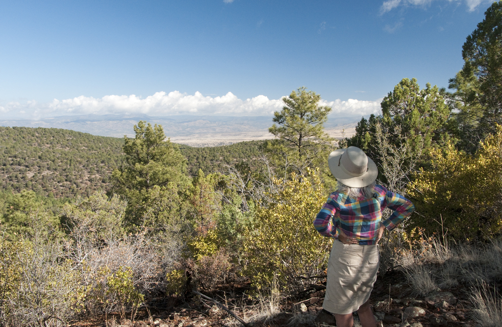
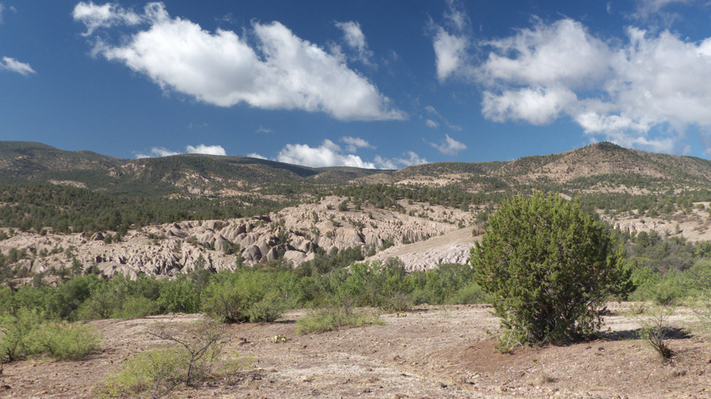
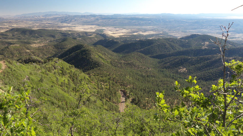
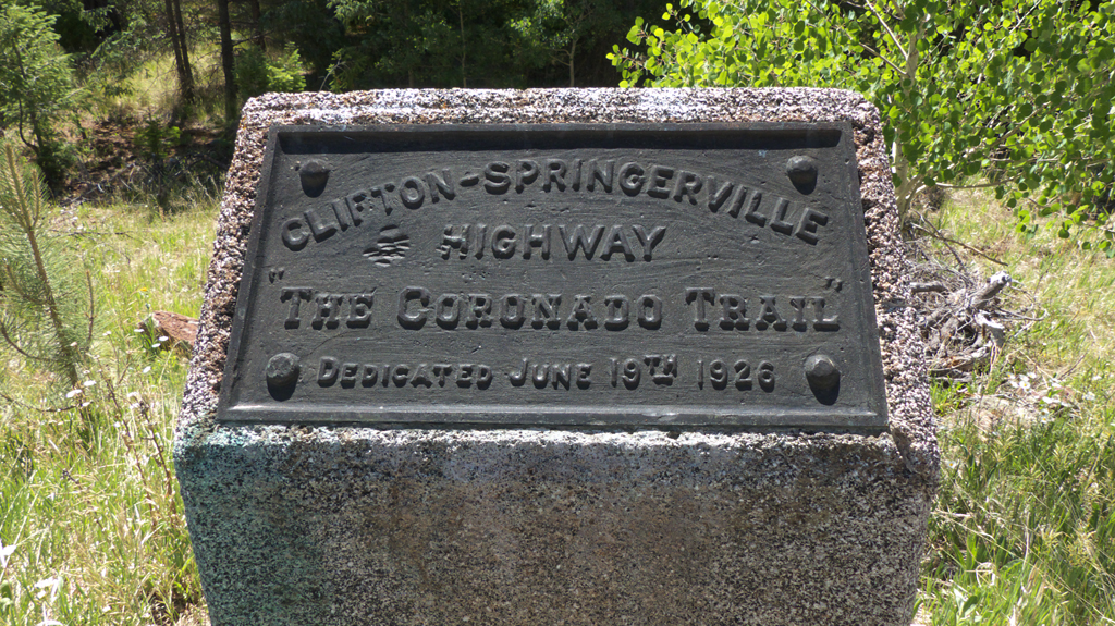
to old Route 666, now rebranded as the US 191/The Coronado Trail. I hadn't driven this road in at least 15 years, and I was amazed by its wild beauty.
When so many popular outdoor recreation areas in southern Arizona are burned up, washed out or overrun, it's amazing that so few people take the time to explore the Coronado Trail. Even on a mid-summer weekend, you're lucky to see one car an hour.
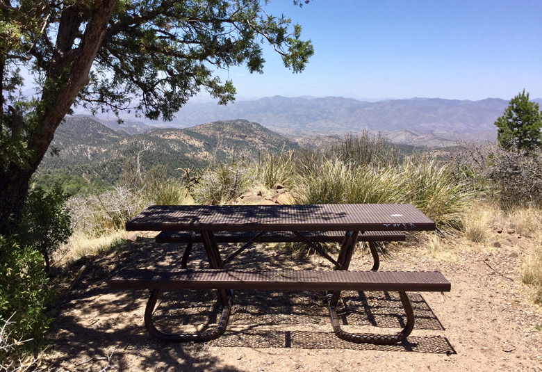
One of favorite spots is this Picnic Table at the End of the World, at HL Saddle. With most of the
Coronado Trail soaring between 6000 and 9000 feet in elevation, the hiking trails and campgrounds in this area are typically 15 to 20 degrees cooler than the valleys below.
On our first trip, we drove out Juan Miller Road toward the Blue River. Except for the last mile,
it's a good gravel road that leads through classic high desert canyon country.Along the way you pass "Chichi Tank", with some interesting rock mounds worthy of further exploration. The Blue is one of the most inaccessible and pristine rivers anywhere in the Southwest.We are slowly making our way north along the Coronado Trail, exploring as many hiking trails as possible.
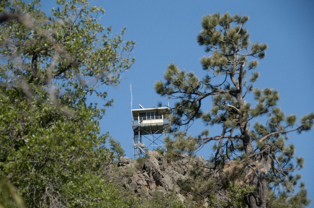
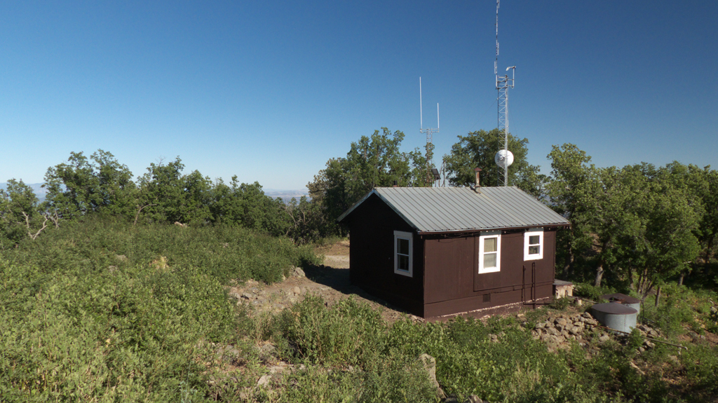
Our first stop was Rose Peak, a steep but short hike through a dense pine forest than climbs to a rocky ridge
capped by a fire tower built in 1929.The lookout includes a cozy cabin with non-stop views in all directions. Looking down on the Coronado Trail from Rose Peak (8,786 feet).Trail marker near Hannagan Meadow. Not far from here, the road reaches its highest elevation
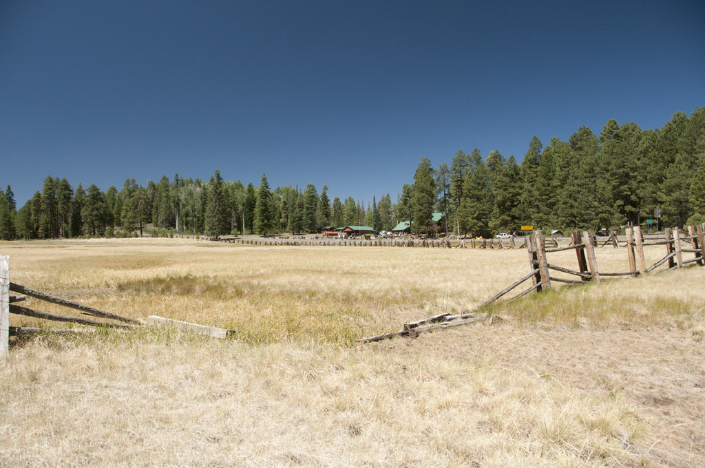
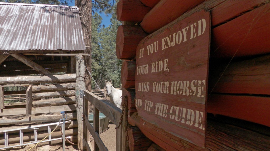
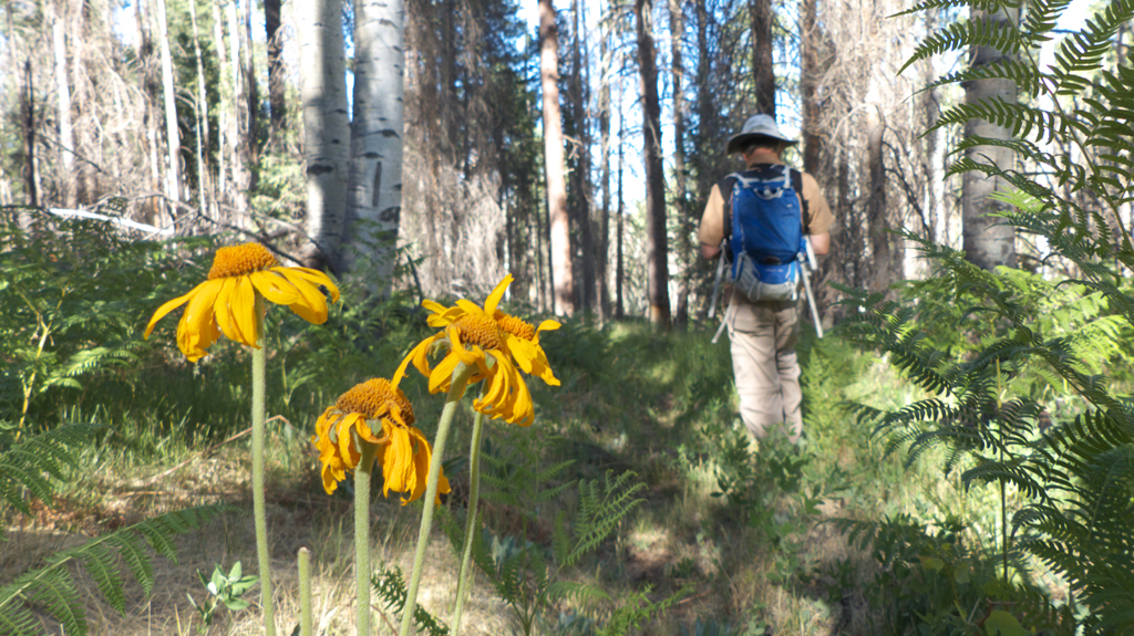
(9,370 feet).The Meadow at Hannagan Meadow Lodge."Kiss your horse and tip the guide"Although some mesa tops are nothing but gray matchsticks from the Wallow Fire of 2011, we were surprised
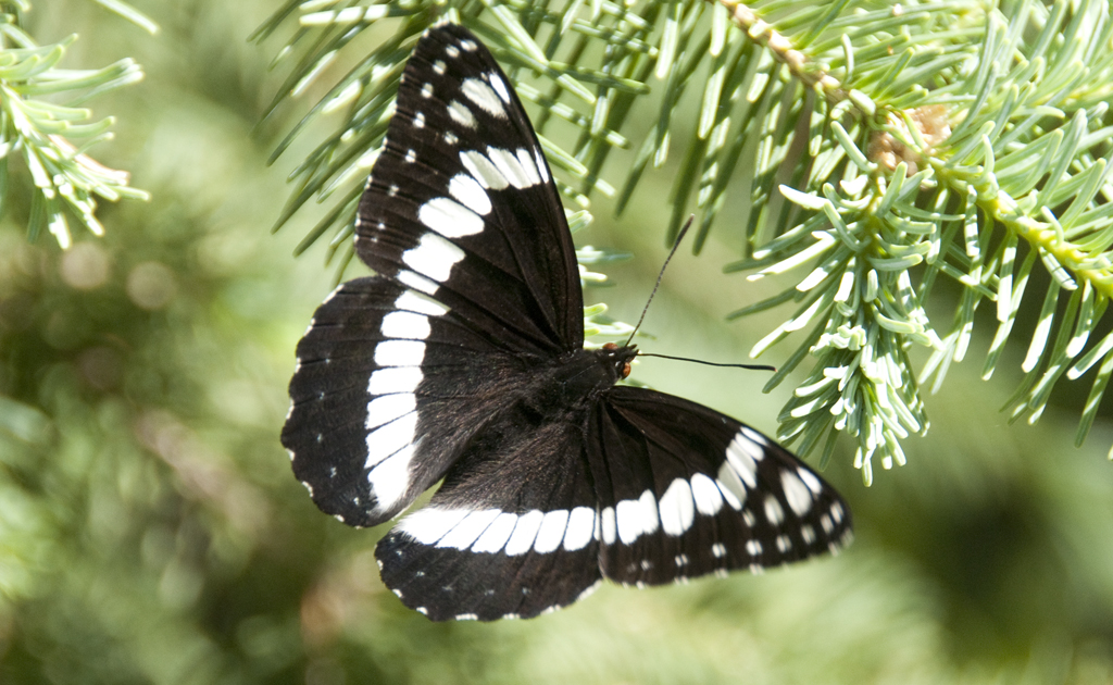
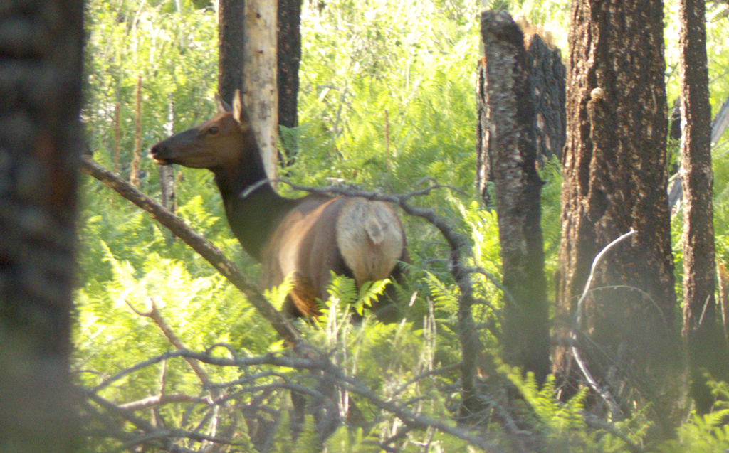
to find that in the hollows many trees survived, and the burn areas are now waist-high in ferns and rampant summer wildflowers.White Admiral ButterflyComing back up the Steeple Trail in the late afternoon, we encountered a family of elk — two adults and a calf —
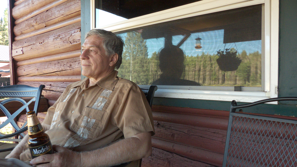
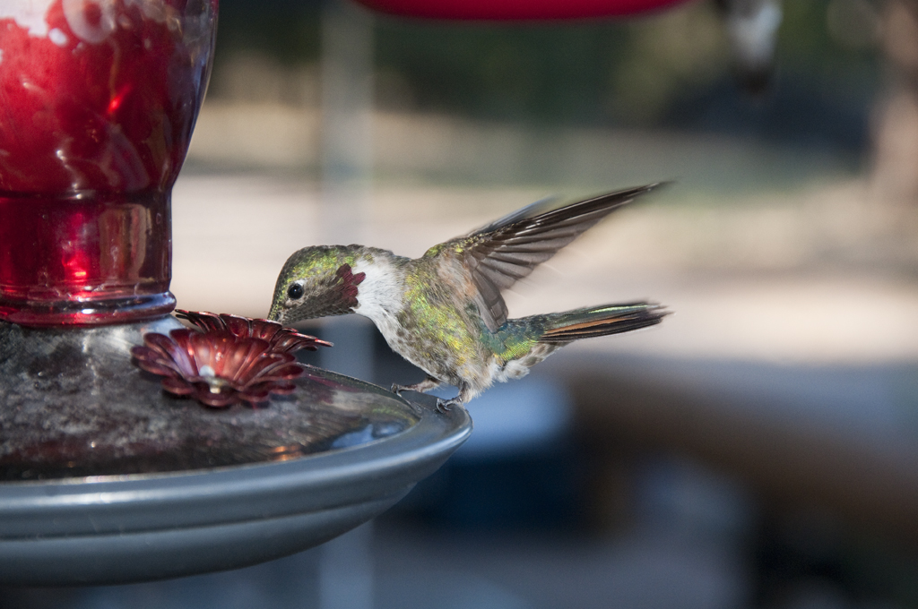
moving silently through the forest.If you're going to drive all the way to Hannagan Meadow Lodge, at least have a beer on their porch at sunset!Dennis got many great photos of the hummingbirds, completely oblivious to his presence, swarming the feeders at
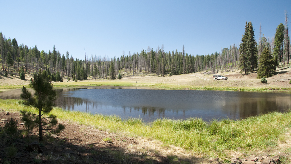
Hannagan Meadow Lodge.Tiny Aker Lake at 8600 feet.It was Ham Radio Field Day, so we chose Hannagan Meadow Campground over KP Cienega for its radio horizon. But either one
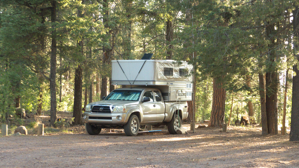
is delightfully uncrowded, and at 9100 feet, the cool evening air is balm for sun-scorched Tucsonans. Our last morning in camp we even turned on the furnace for a few minutes.
We'll be back!