SOTA (Summits on the Air) is a worldwide program that encourages portable amateur radio operation in
mountainous areas. You earn points for being an "activator" (who ascends summits) or a "chaser" (who listens at home). We got interested in SOTA as a way to combine hiking and ham radio, especially once we noticed that
there are many peaks in southern Arizona that have been never been "activated" (no documented ham radio transmissions from the summit).
Our friend Doug offered to "spot" for us by publishing
the frequency and location of our station so chasers could find us.
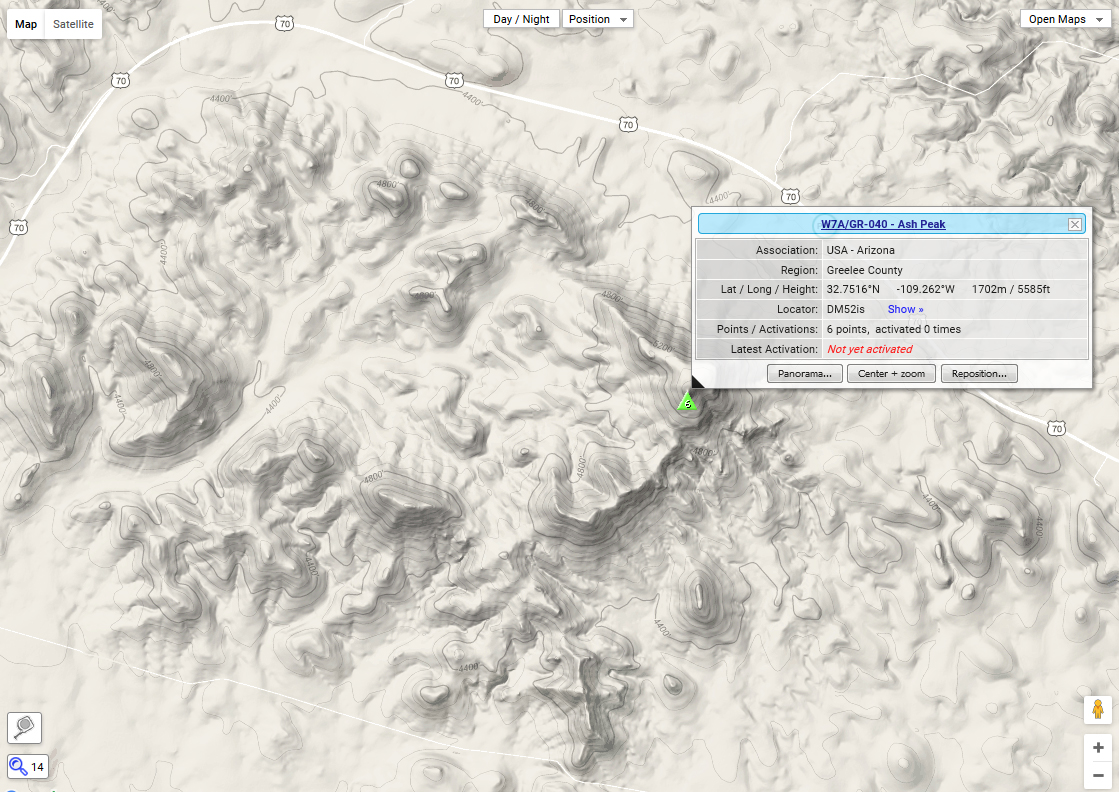
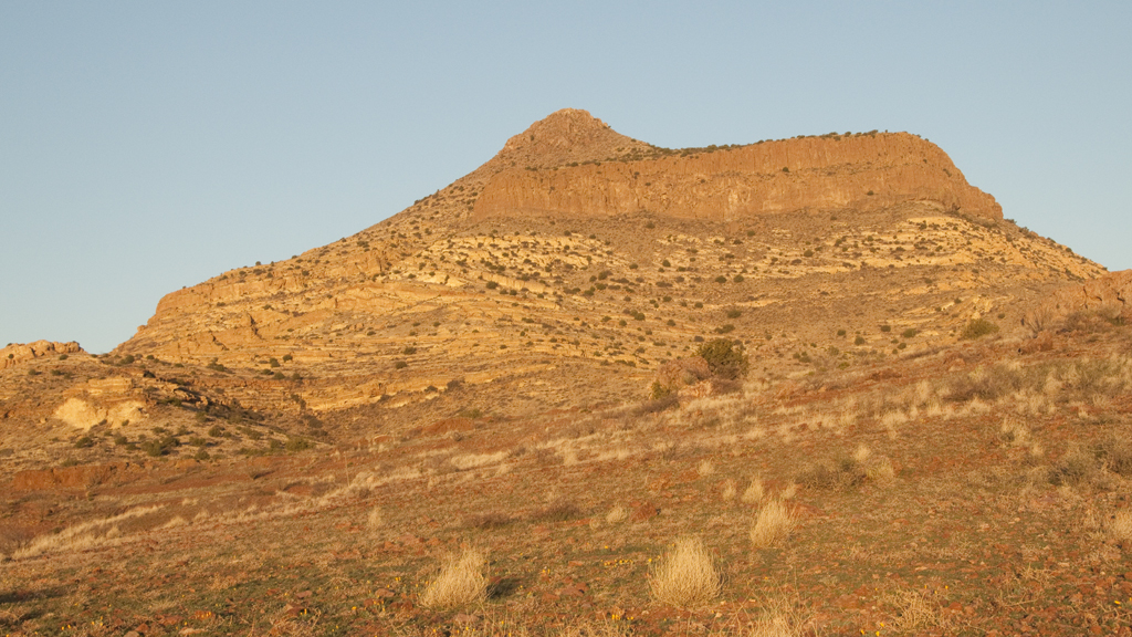
On a trip to Duncan, we noticed a prominent peak just south of Route 70,
and scouted a road that looked like it might take us within two miles of the summit.It's a very attractive peak, composed of many
colorful layers of volcanic tuff, andesite and rhyolite.
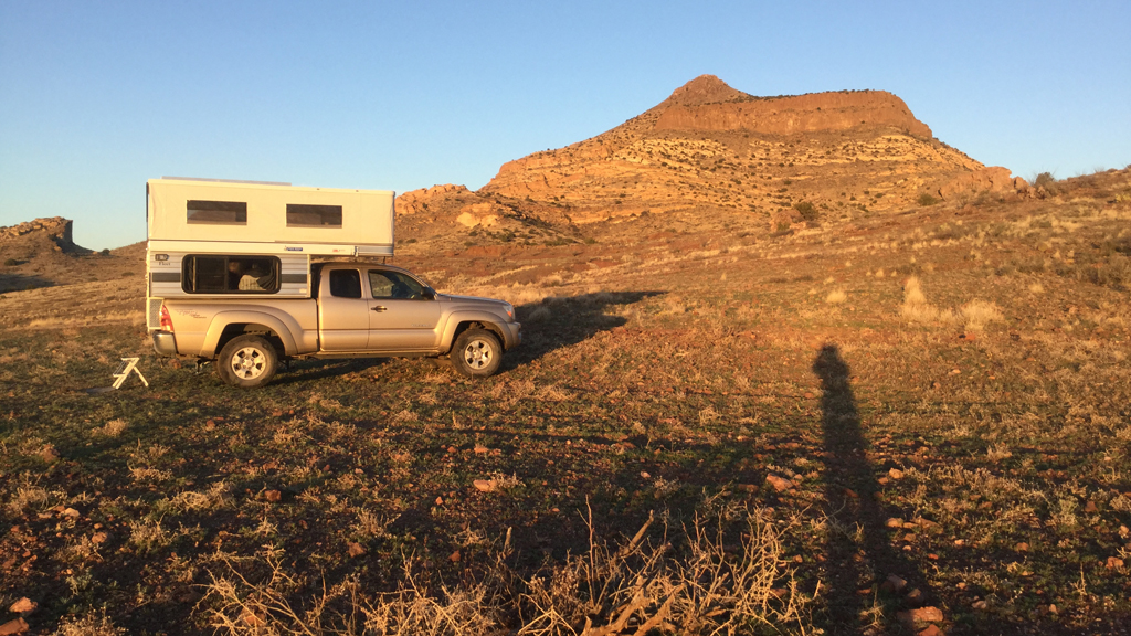
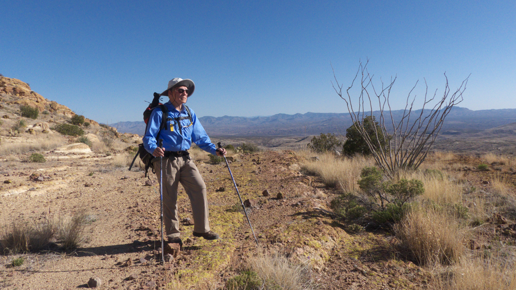
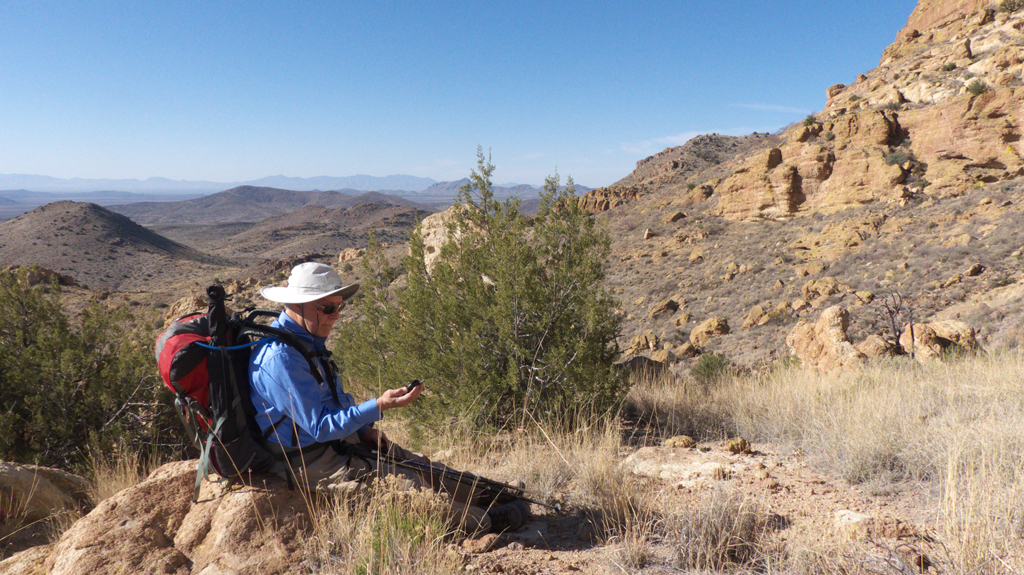
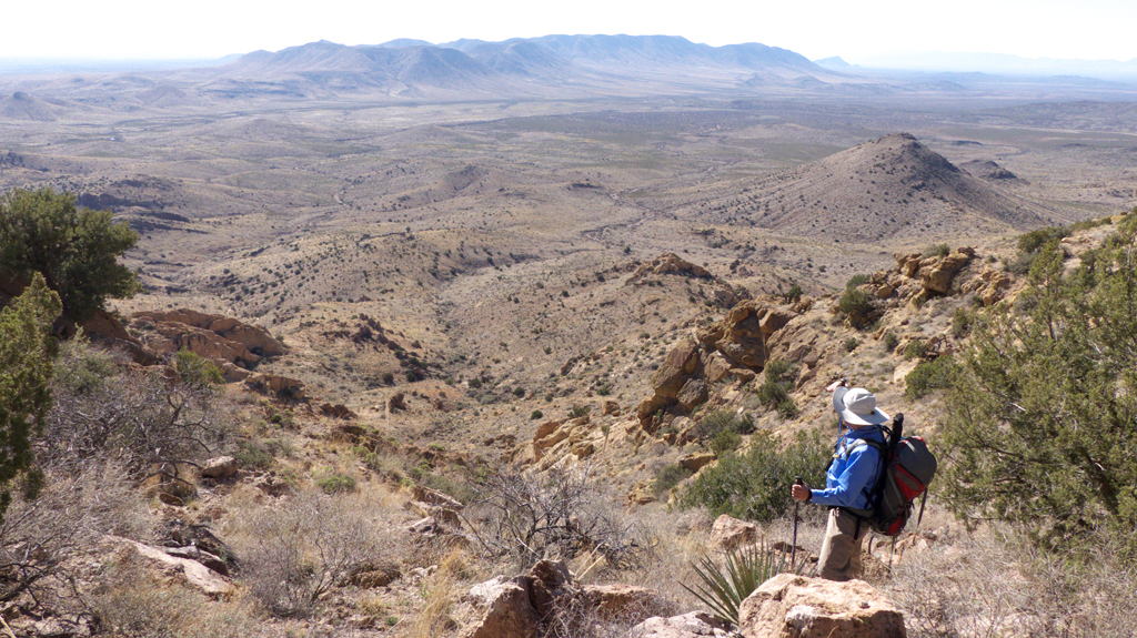
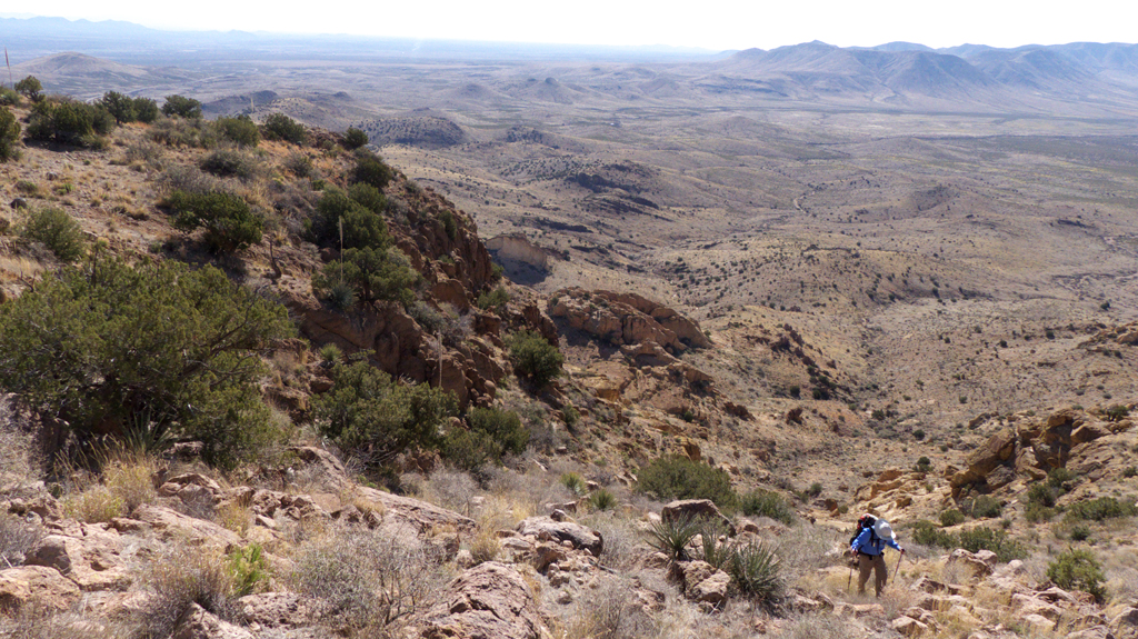
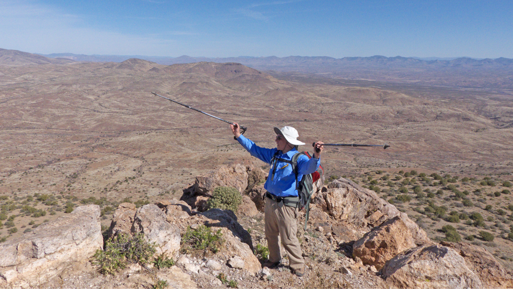
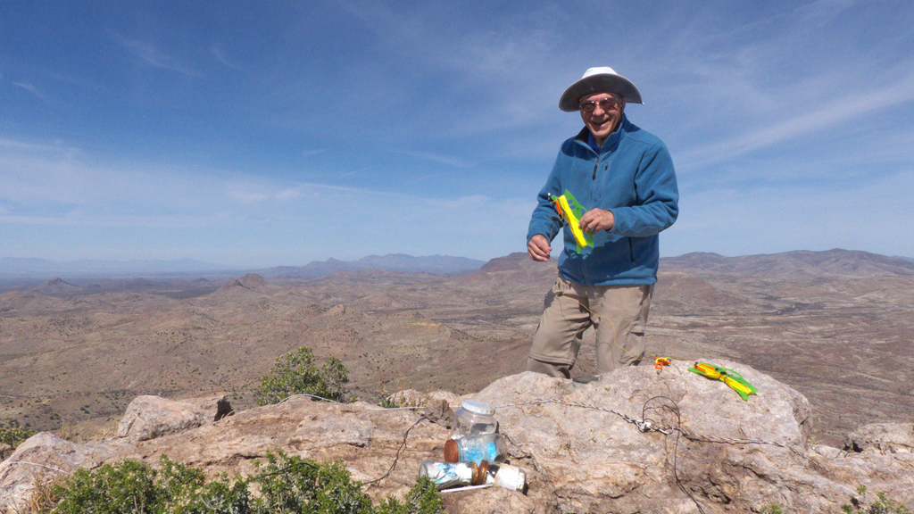
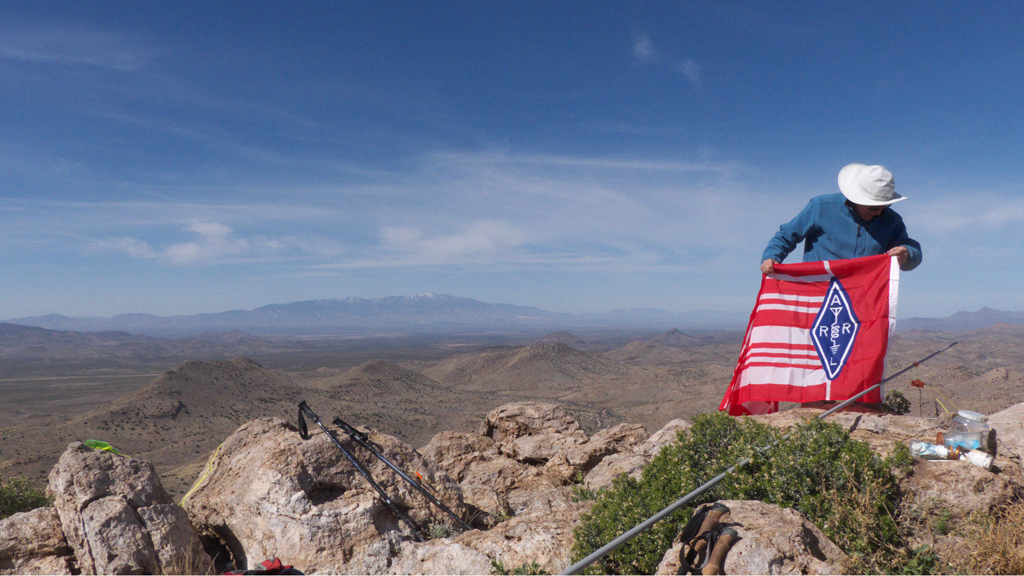
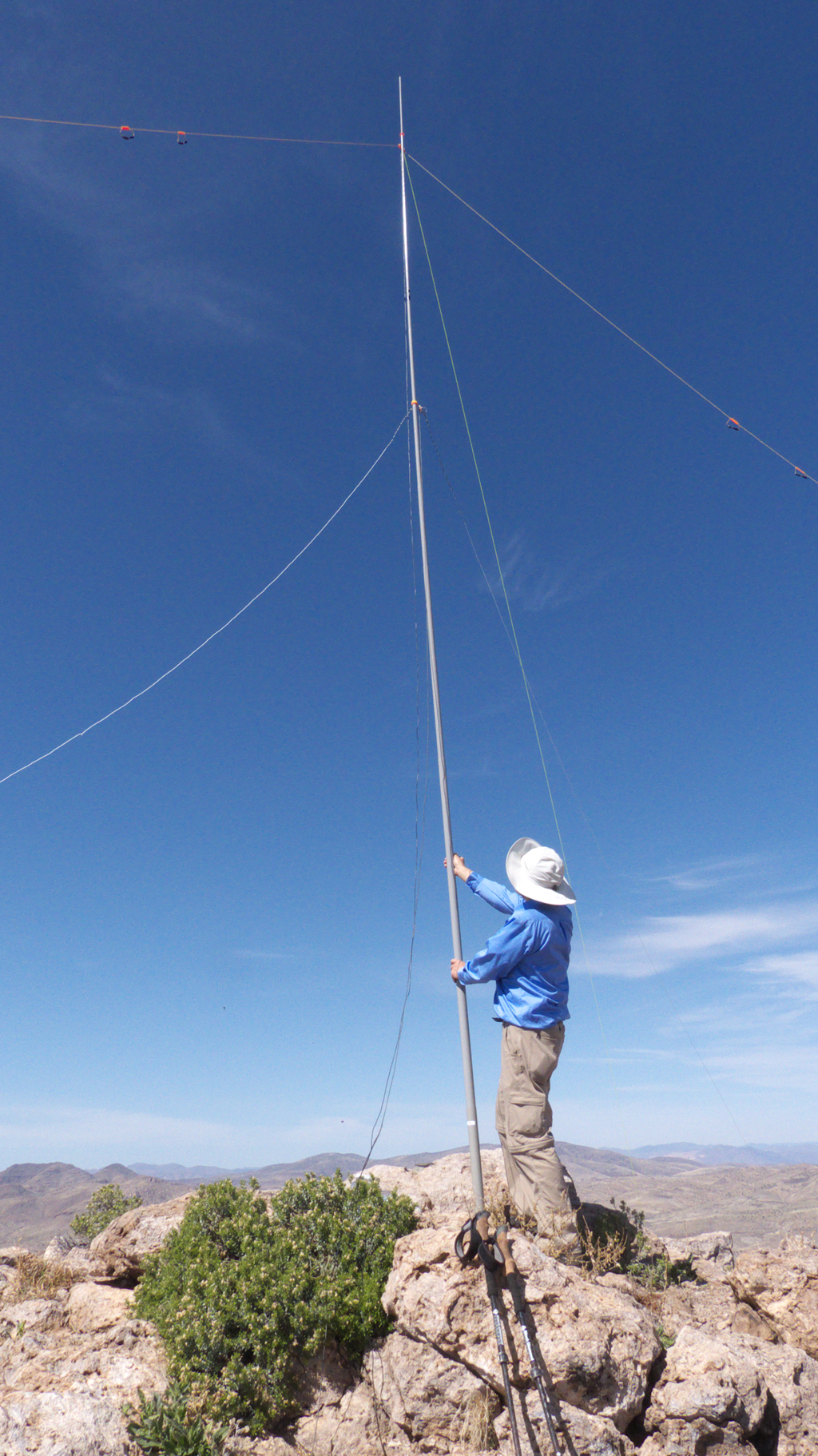
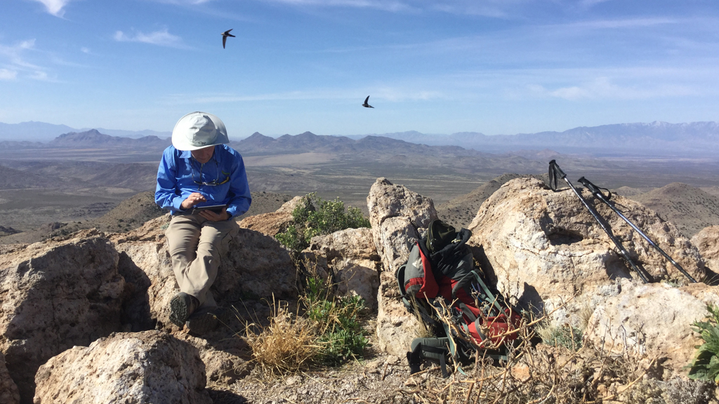
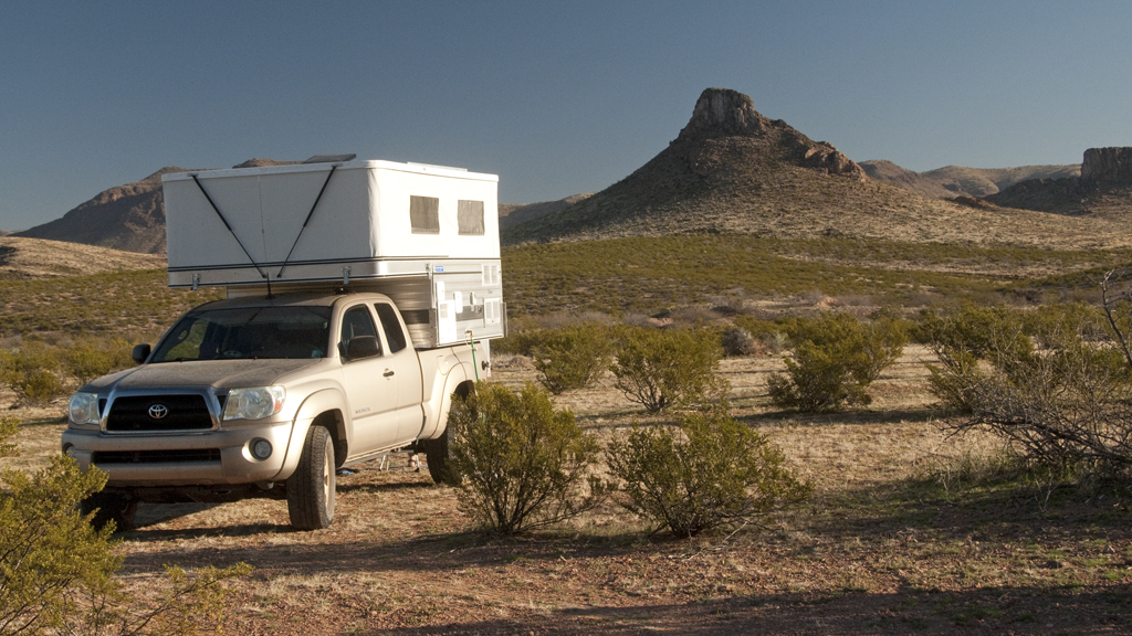
We camped at the foot of the mountain to get an early start in the morning.The first half-mile was easy hiking over crumbled basalt. Then we began working our way around the side of the mountain on shelves of yellow tuff.Dennis pauses to check our position on the GPS.As we came around the side of the mountain, we found ourselves navigating a very steep boulder field.We were essentially hiking up a landslide.This photo shows the incline (pretty close to 45°)It took us about two hours to reach the top, but we made it (we are old goats, but we are mountain goats).Dennis begins unwinding the mast guys and antenna wires.Unfurling the ARRL flag.Raising the antenna mast.Swifts swirl overhead while Dennis checks a few last-minute details.
Doug put out the word that Ash Peak was on the air, and other stations began showing up on 20 and 40 meters. A regular pile-up ensued, and we made a total of 22 contacts to stations as far away as Quebec, including two summit-to-summit contacts.
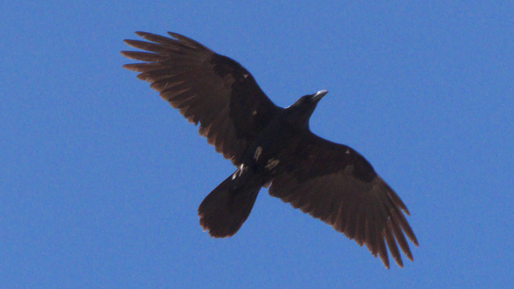
We were surprised by all the wildlife at the summit. In addition to the swifts, there were dozens of sulphur butterflies, a raven that came back to chat with us three times,
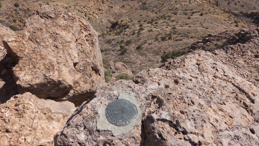
and 35 sandhill cranes flying high, probably heading north for the summer.There are three benchmarks at the summit, and two of them are dated "1945".
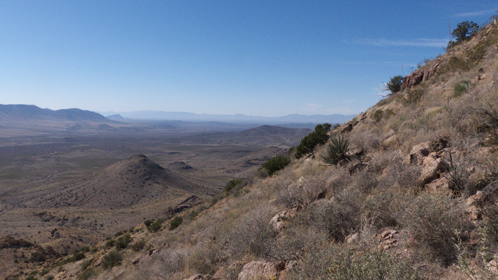
View from the summit of Taco Grande, far in the distance.
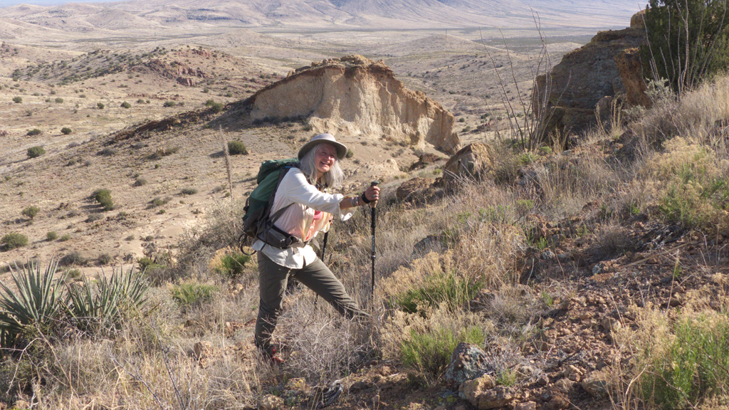
We took a slightly different route down, exploring a ridge of tortured tuff formations.Well that was fun! Now we're trolling for more remote summits to activate. So many mountains, so little time!