Restoring the Powderhorn Trail
November 16-18, 2026
One of the many reasons I love trail work is that it takes me to places I would have never gone on my own, or even known about. That was certainly the case with the Gila Trails project in Powderhorn Canyon. This long lost trail is part of a larger collaborative project between the CDT Coalition, Gila Backcountry Horsemen and the Forest Service to restore trails in the Black Range that have lain fallow since the Silver Fire of 2013. The Powderhorn Trail provides an alternate access to the high peaks of the Black Range and the Crest Trail.
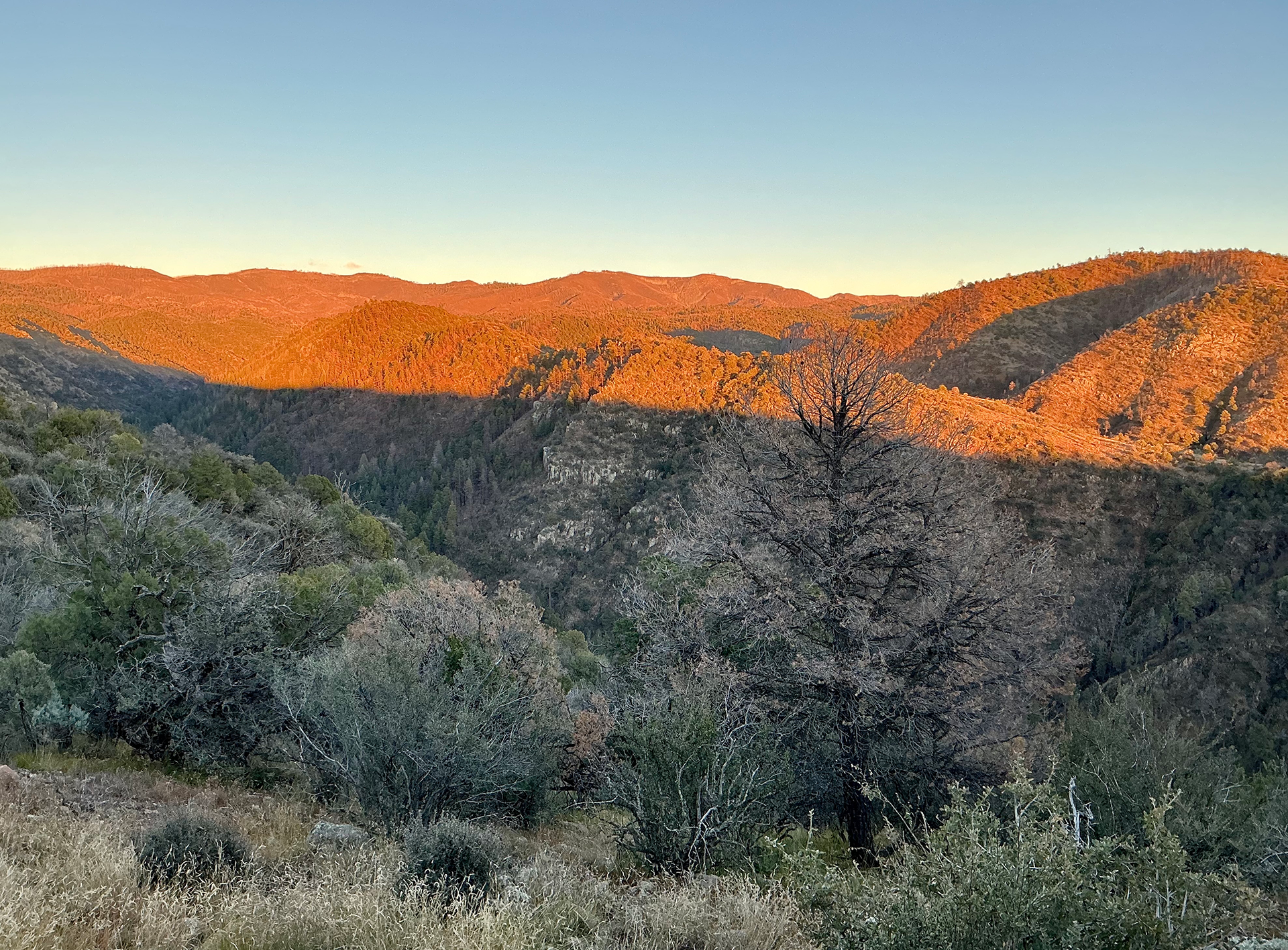
Getting there is an adventure in itself. The trailhead is at the end of a 10-mile-long forest road that runs along the top of a narrow ridge. About six miles in, the road devolves into a two-rut track with plenty of blind corners that plummet 500 feet to the floor of McKnight Canyon.
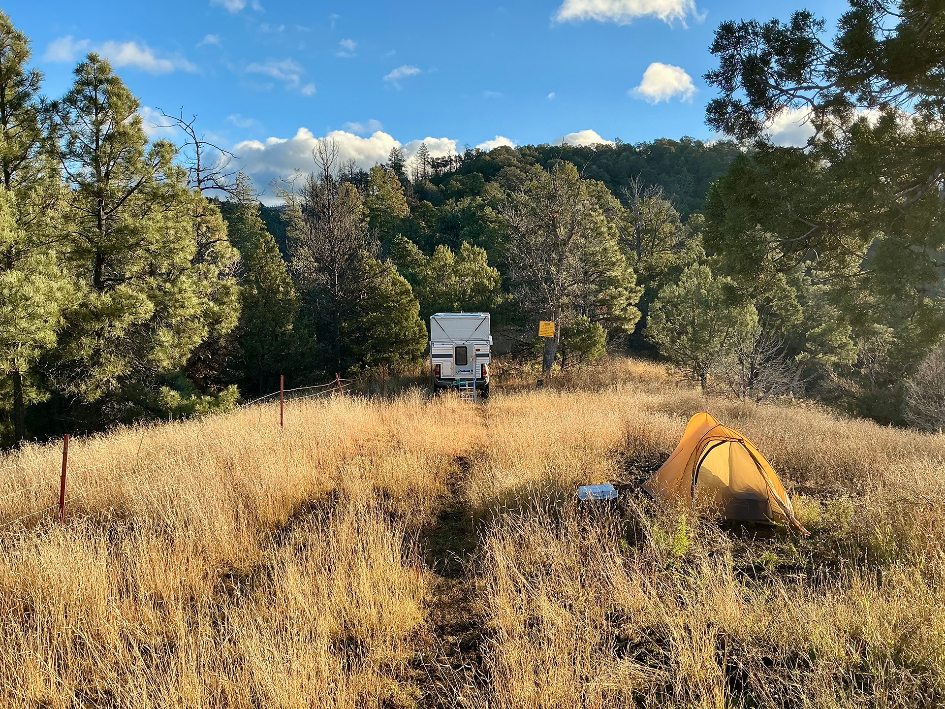
We camped near the end of the road, not far from a breached dam that once retained a sizable stock tank.
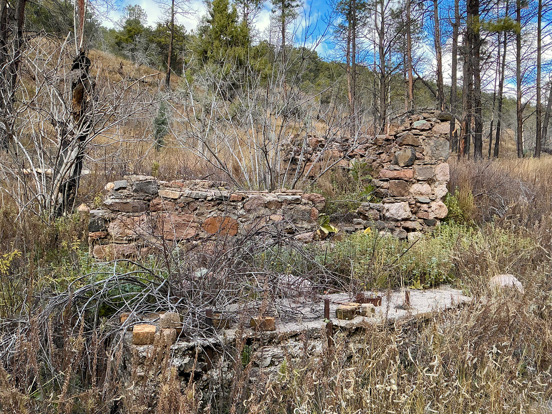
Nearby is the remains of a small stone cabin.
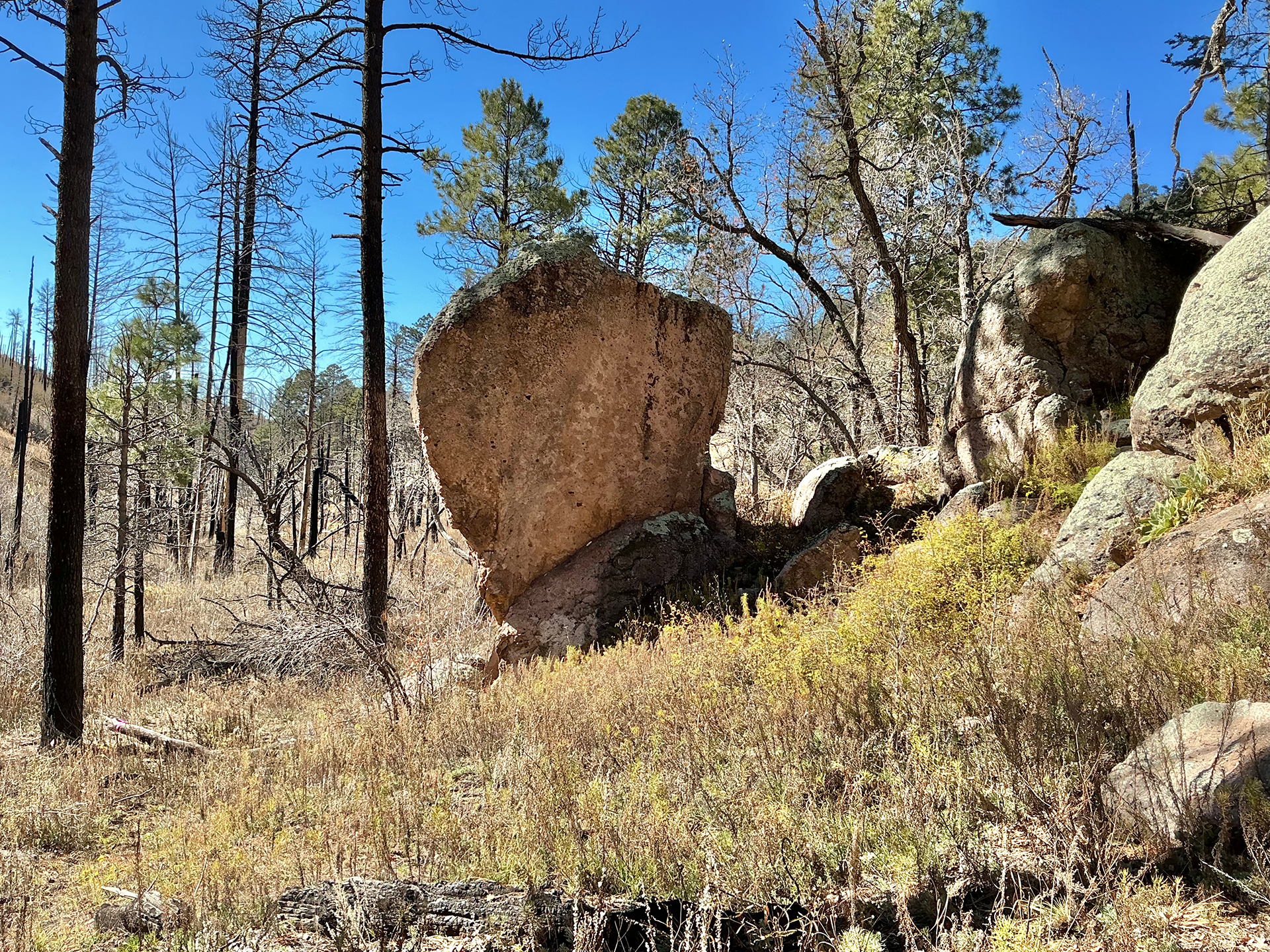
While the Powderhorn Trail once continued up the ridge to a saddle at 8500', it now drops into the canyon and runs along a perennial stream.
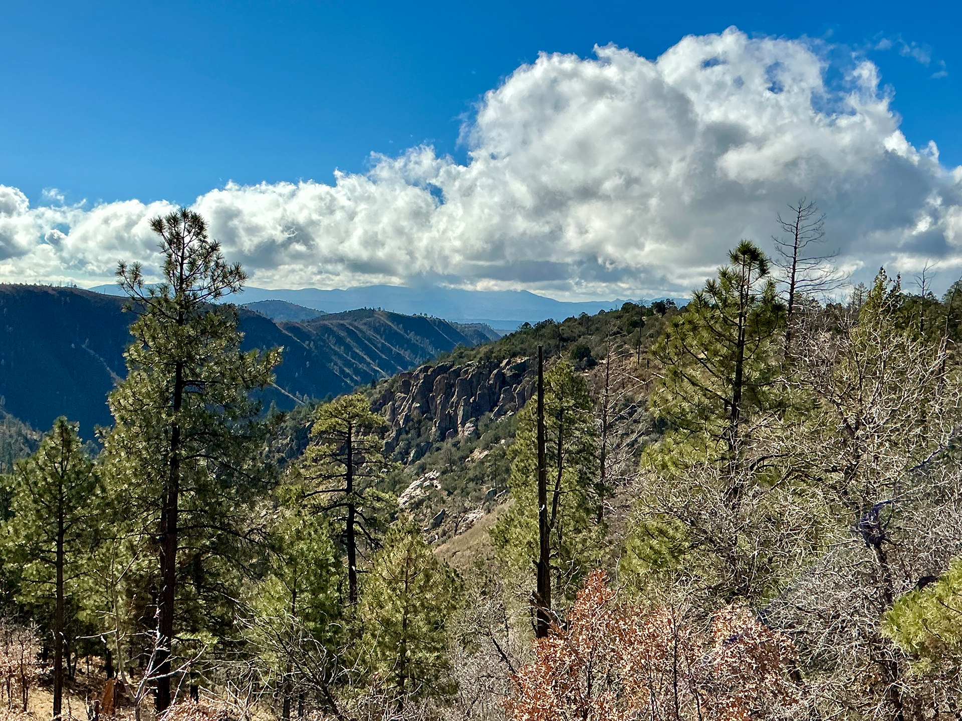
At 1.6 miles, the trail climbs out of the canyon, and the jaw-dropping views begin.
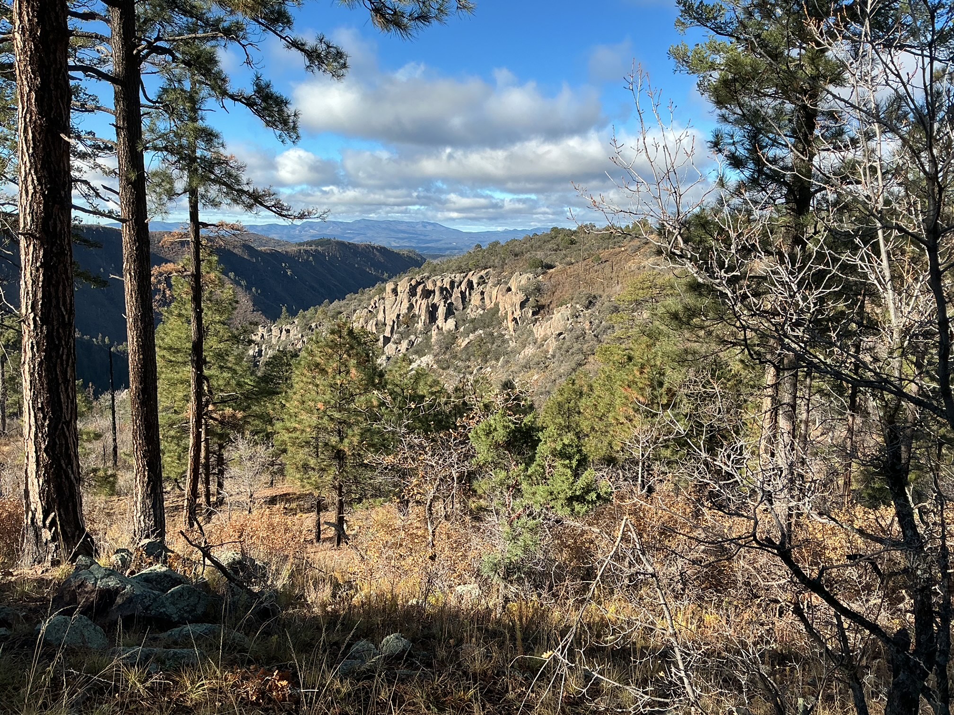
To the south, McKnight Canyon falls away toward the Mimbres River Valley. To the east, north and west are the crumpled peaks of the Black Range, their summits delineated by a fringe of stick-figure ponderosa pines.
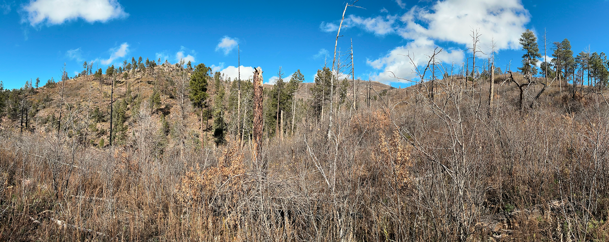
From a distance, the high peaks appear devoid of vegetation. There are no waterfalls of golden aspens heralding the forest's imminent recovery.
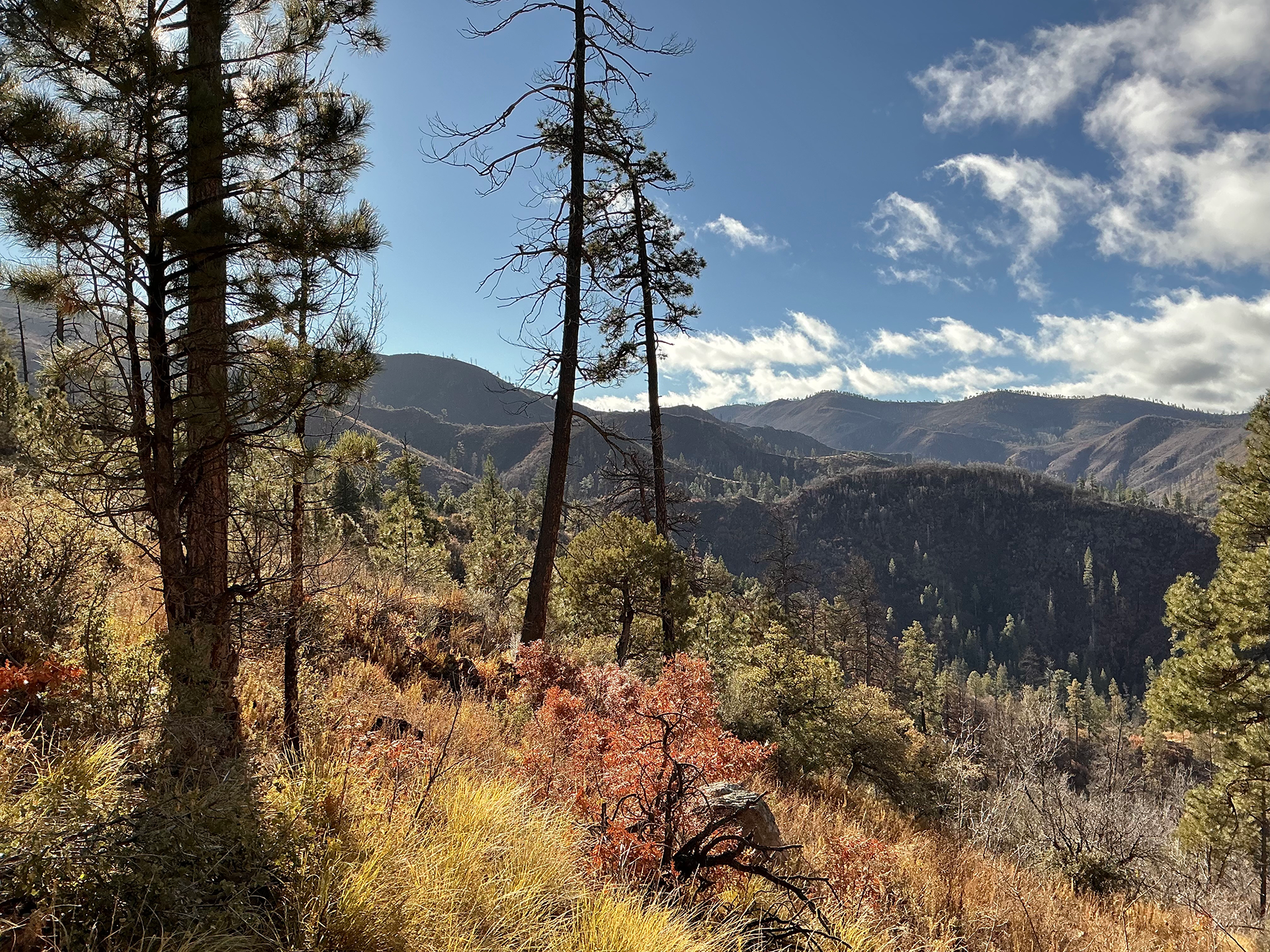
We would soon learn that those barren slopes were anchored by walls of chest-high locusts, gambel oaks and mountain mahogany, all famously thorny and blade-resistant. The fresh-cut saplings clung tenaciously to my gloves and clothing. My arms looked like I'd lost a fight with a clowder of feral cats, and my pants were well ventilated by fresh puncture marks.
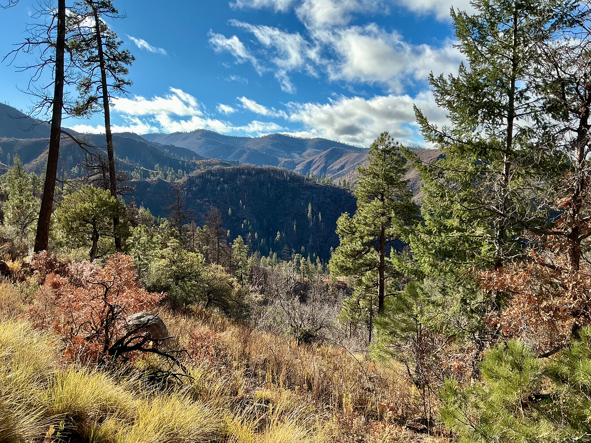
From the saddle the trail climbs steeply, 1100' in 1¾ miles, to a saddle at 9600'. The right fork leads to McKnight Peak (10165'), and the left fork — if it still exists — drops into the South Fork Mimbres River Valley. The terrain is rocky and open, with improbable views in every direction. After all these years of admiring the spiky silhouettes of the high peaks of the Black Range from a distance, it was a thrill to finally wander along their ridge tops.
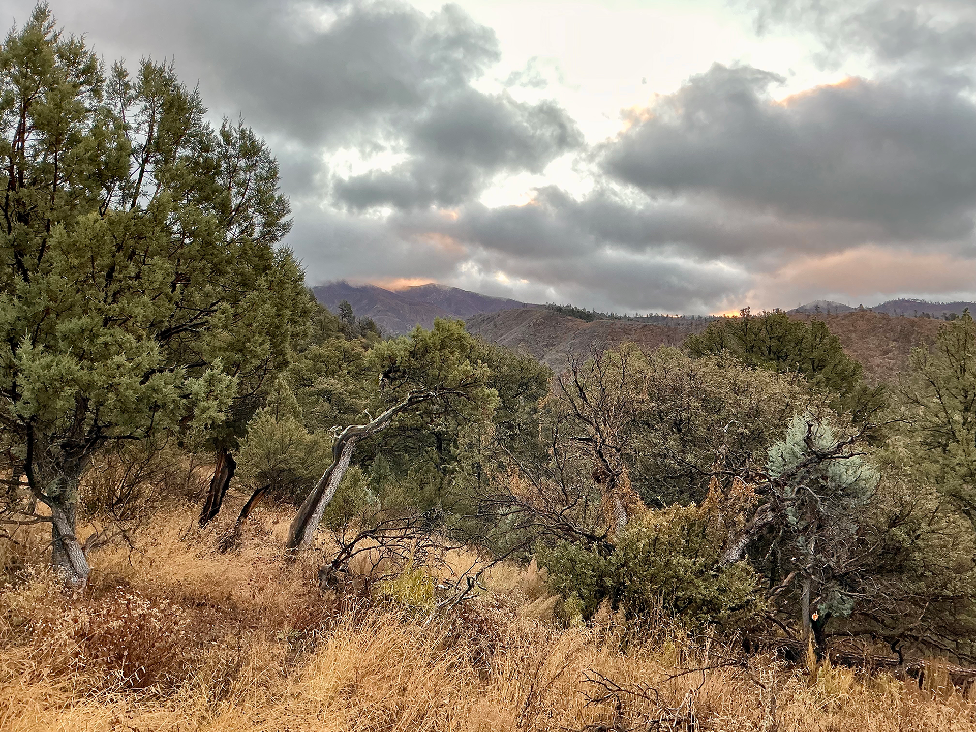
Morning on Powderhorn Ridge. As is often the case, the trail crew was a mix of septuagenarian volunteers, and younger Forest Service professionals. Two days at high elevation took the starch out of the old–timers. The young folk would press on for two more days, clearing all the way to the high saddle. We always feel guilty for knocking off early, but the regulars seem grateful for our efforts — and perhaps our moral support. And we greatly appreciation their patience, company, stories, and all they do to keep the Gila accessible.
