Snow Lake, Middle Fork and Loco Mountain
August 18-21, 2021
Snow Lake
Some trips are quests, some are for a change of scenery, and some result from viriditaphobia. Yes, that's a real word meaning "fear of weeds". This summer's abundant rains fueled a massive overgrowth. Dennis and I spent three weeks pulling weeds, covering the yard with 600 square feet of landscaping cloth, and then topping it off with another four tons of pea gravel. By the time we were done, we had hauled more than 1200 pounds of weeds and brush to the dump. Time for a ROAD TRIP!!!
For at least a decade, I've been obsessed with Snow Lake, an improbable body of water at 7313 feet in the far reaches of the Gila National Forest. We stopped off briefly there in 2016, on the tail-end of a backpacking trip to Mineral Creek. I was fascinated to learn that the trail along the Middle Fork of the Gila River takes off here, just below the dam. With our favorite travel buddy Ann H., we hatched a plan to camp at Snow Lake and hike the Middle Fork Trail.
We had planned to take the Four Wheel Campers, but switched to the RV when a last minute health issue made us reluctant to leave the cats at home. We were surprised to learn that we could avoid the truly terrifying section of Bursum Road near Mogollon by approaching the back way via Reserve. The Reserve-Beaverhead Road is rough with some serious potholes, but quite manageable with the RV (and a careful driver). We rolled into Snow Lake around sunset, through a carpet of thigh-high wildflowers.
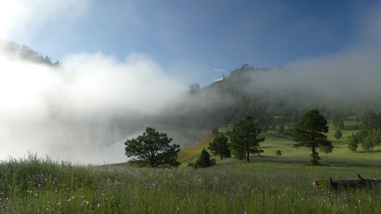
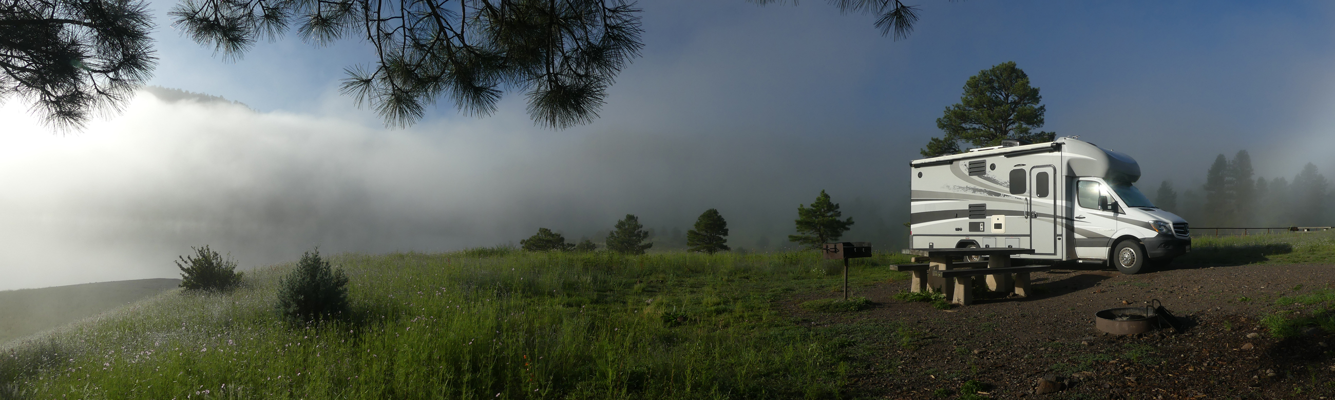
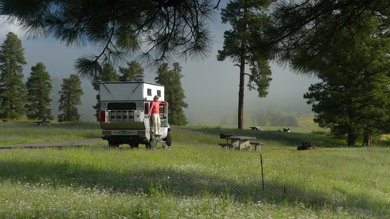
It was a deliciously cool night, and we awoke inside a cloud — a thick pea soup of fog worthy of an Autumn morning in Vermont!
Dyna waking up under a blanket of fog.
Ann and Turtle Truck, ready for adventure!
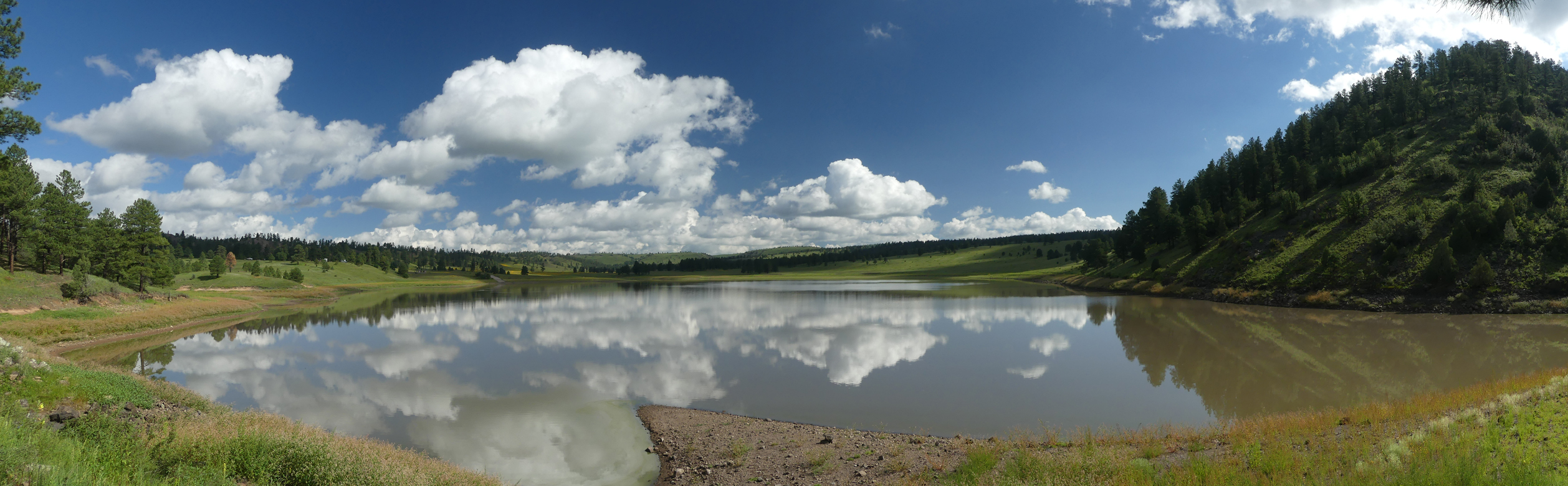
When the fog lifted, oh my, what a view! Scroll for a panorama.
The Middle Fork
We headed downstream below the dam, delighted to find the trail in excellent condition, probably because it's a popular alternate route for the Continental Divide Trail. Snow Lake is often cited as the source of the Middle Fork of the Gila River, but it's actually Gilita Creek, which flows into the Middle Fork about a half mile below the dam, that supplies most of the water. We encountered a sizable beaver dam just below the Gilita, with few options but to turn back or tiptoe very carefully across the dam. Photo by Ann H.
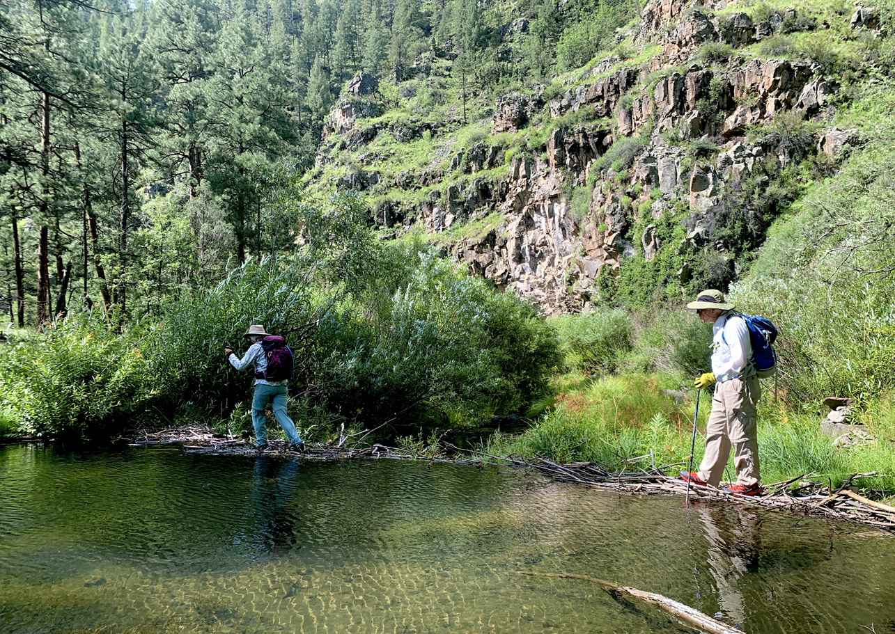
As everywhere in the Gila, there are countless stream crossings. Cat-like, Dennis tries hard to keep his feet dry!
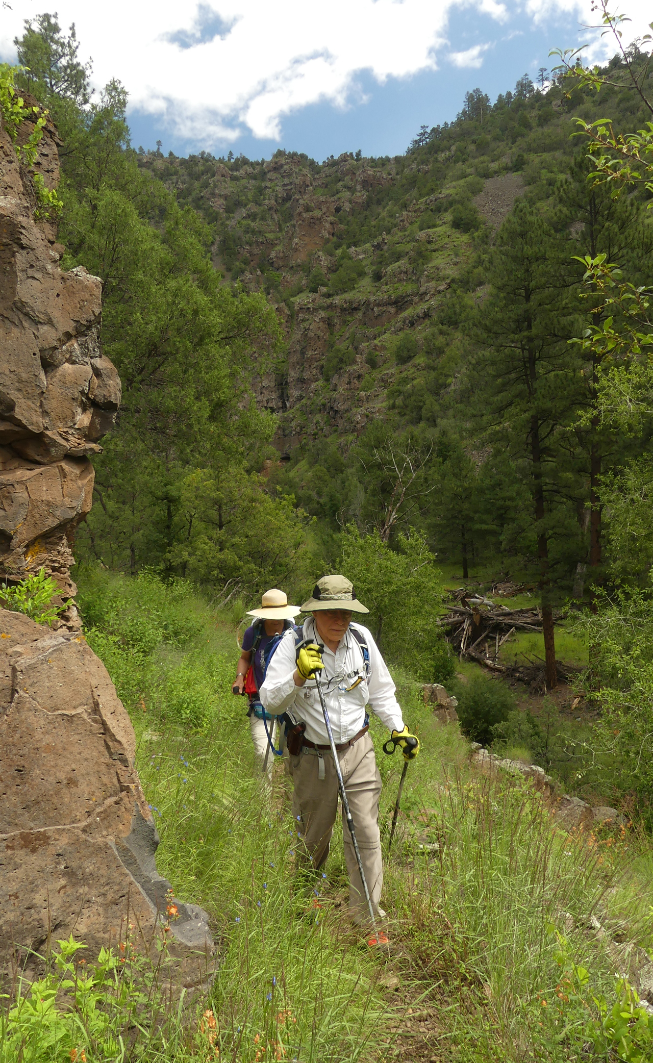
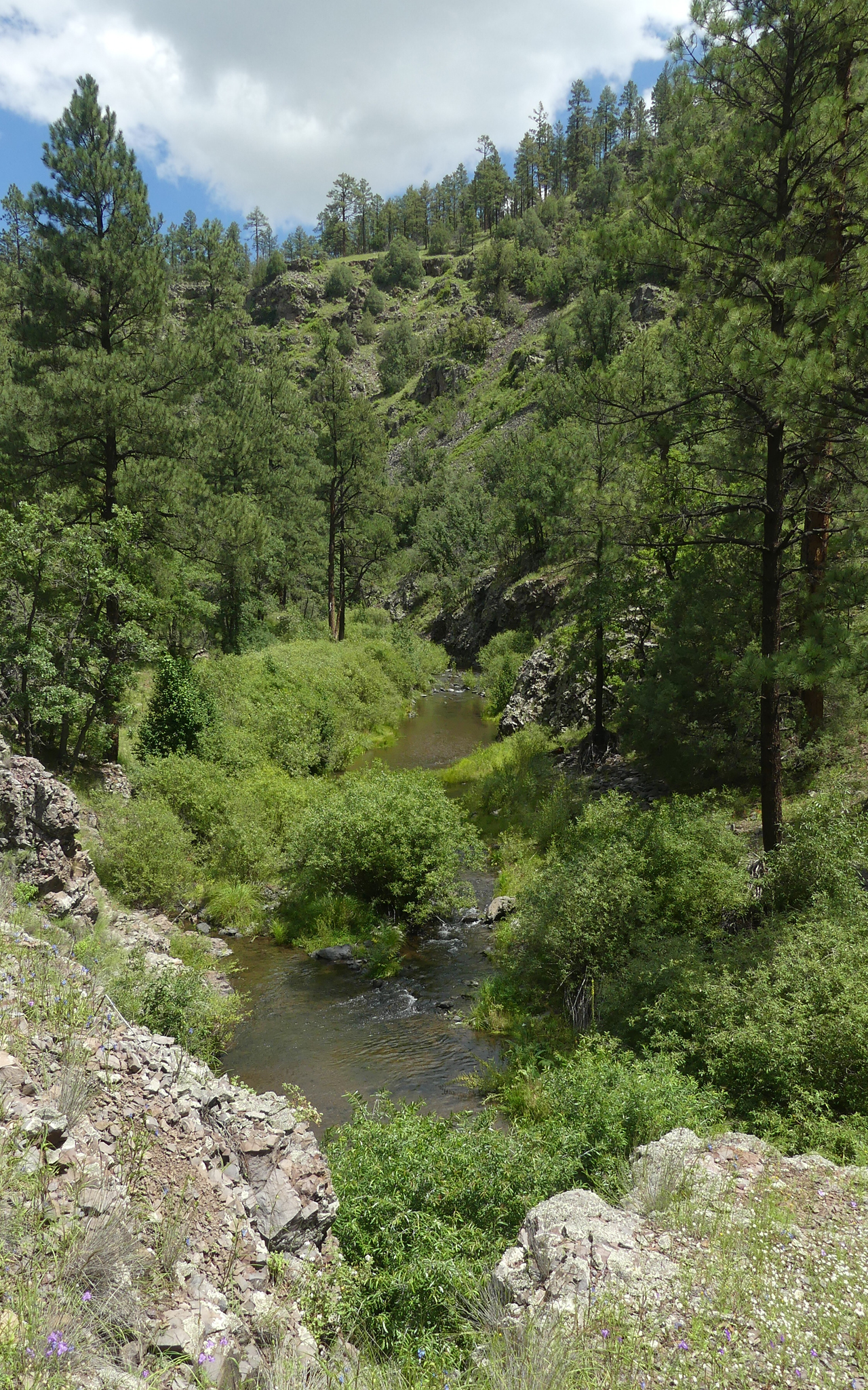
The trail travels through a mature ponderosa pine forest, with very little underbrush. It reminded us of what the trail to Jordan Hot Springs was like before fires and floods turned it into a boulder field.
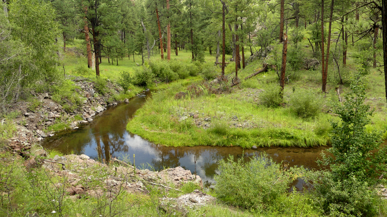
There were deep pools aplenty, some of them with trout more than a foot long.
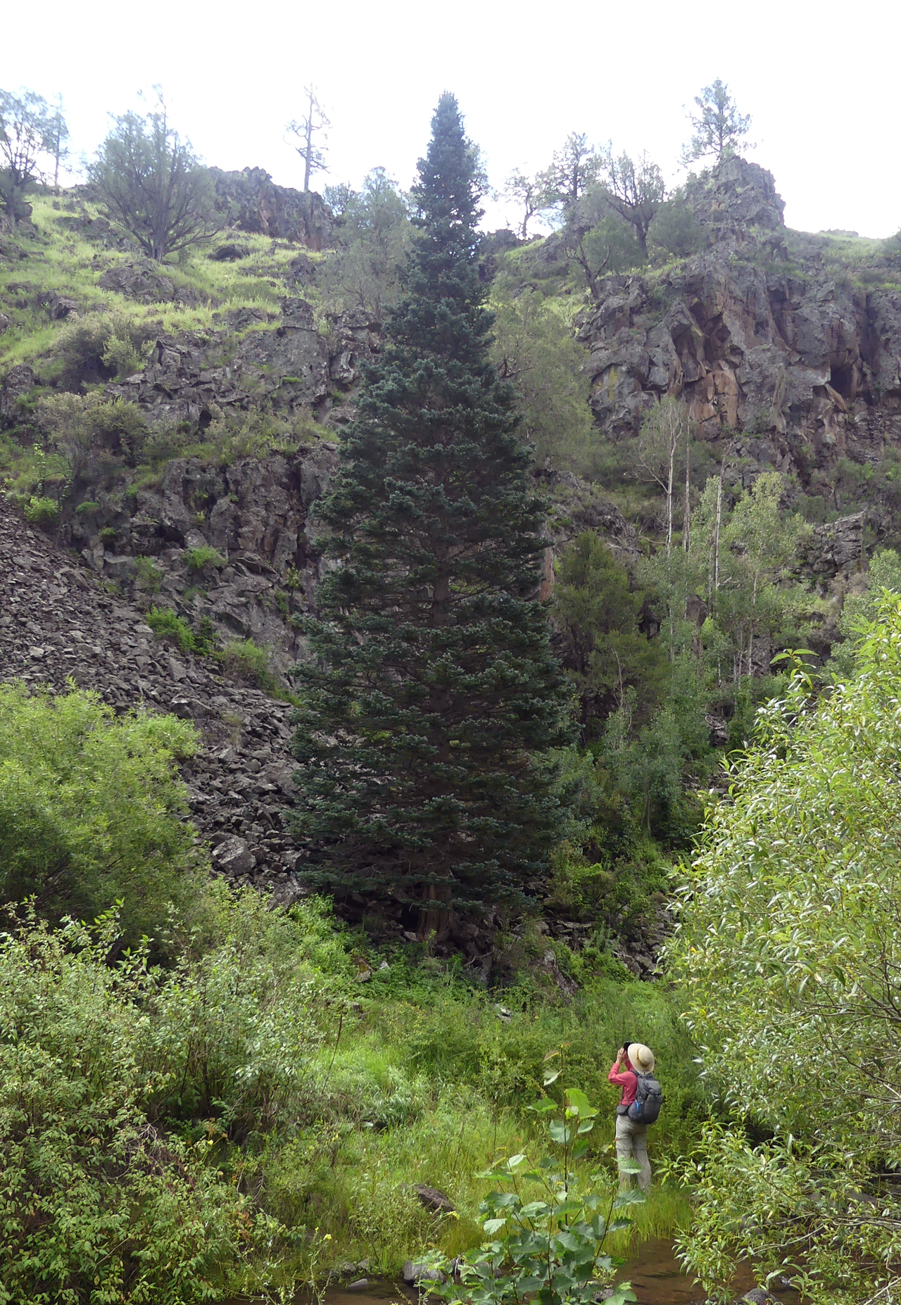
Growing alongside the stream was a single, absolutely perfect Christmas tree. Could it be an Engelmann Spruce?
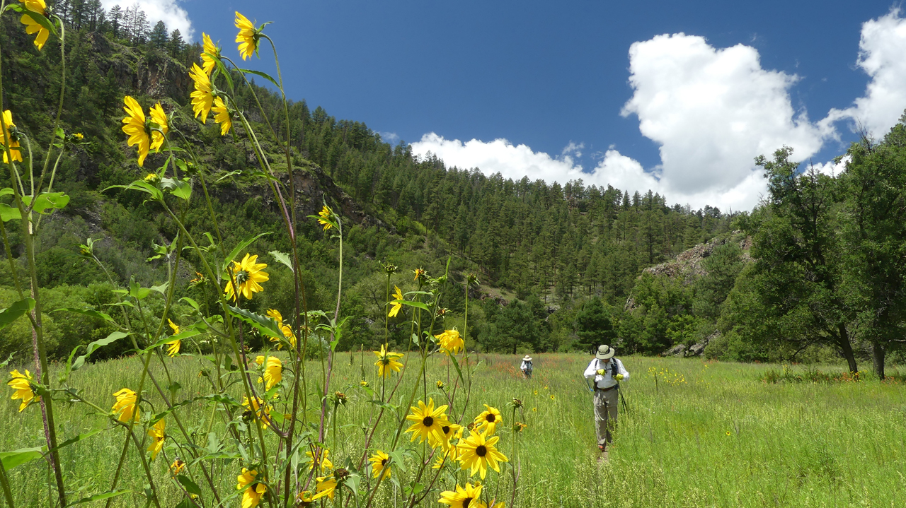
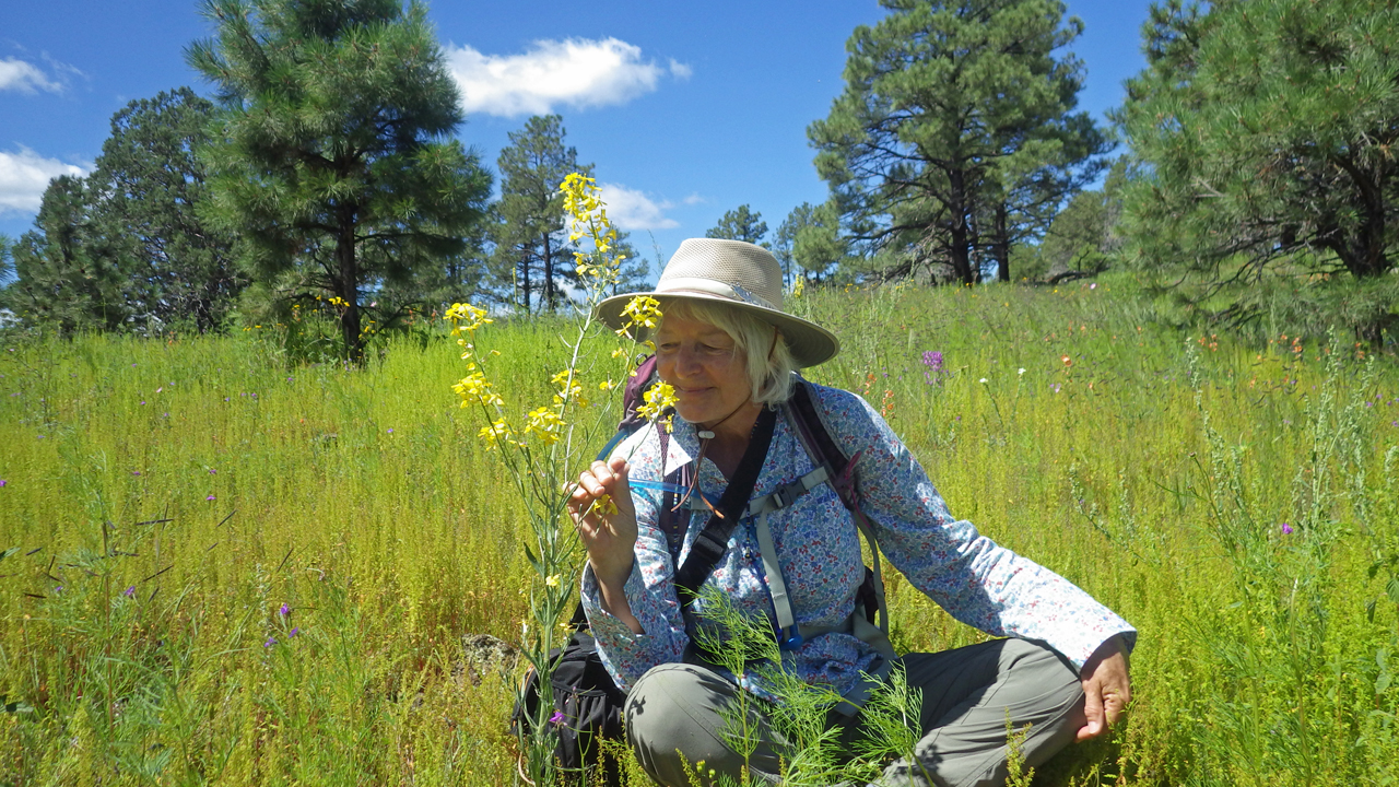
Dense forest alternates with vast green meadows, now deliriously awash in summer wildflowers. Ann and I were able to identify more than 40 different species.
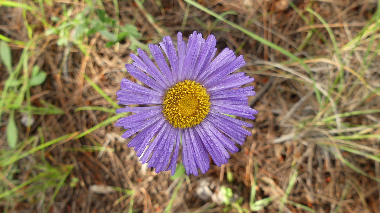
Purple Aster.
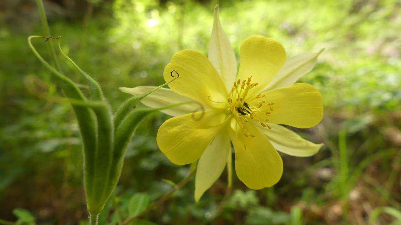
Columbine.
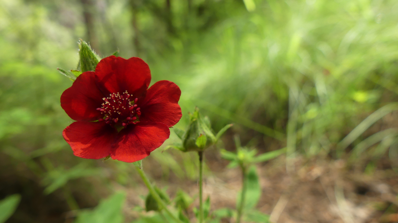
Scarlet Cinquefoil.
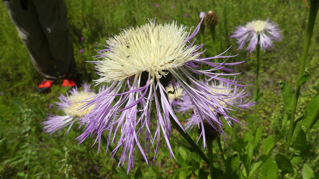
Basket Flower.
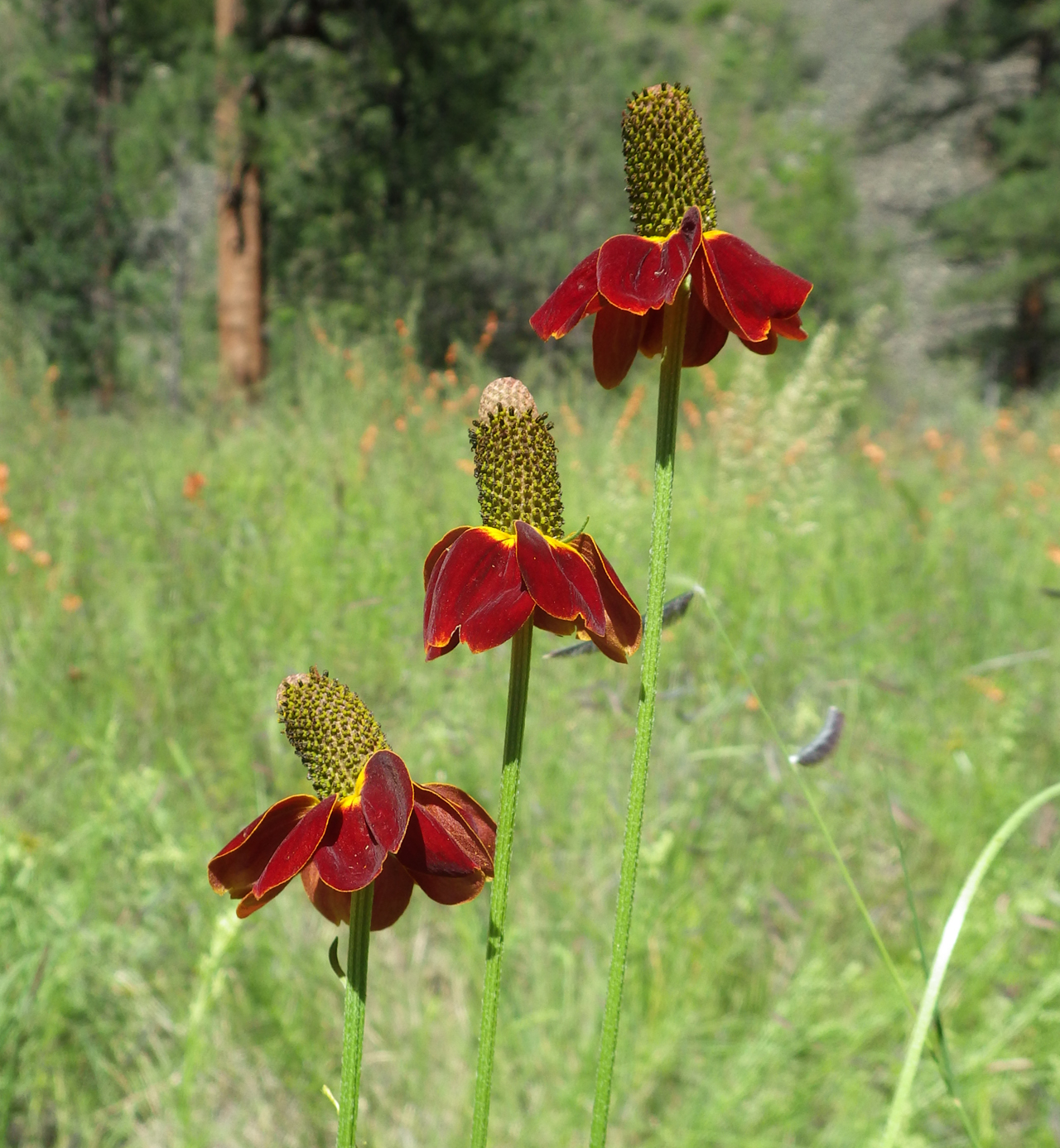
Mexican Hat or Prairie Coneflower.
Stemless Point-Vetch.
We turned back about four miles out, near the site of an old cabin, vowing to return and backpack to Iron Mesa. Photo by Ann H.
Loco Mountain

The next day we continued east to Aeroplane Mesa, so named because during World War II, US Army pilots on training missions would sometimes land here and hike down to the river to fish.
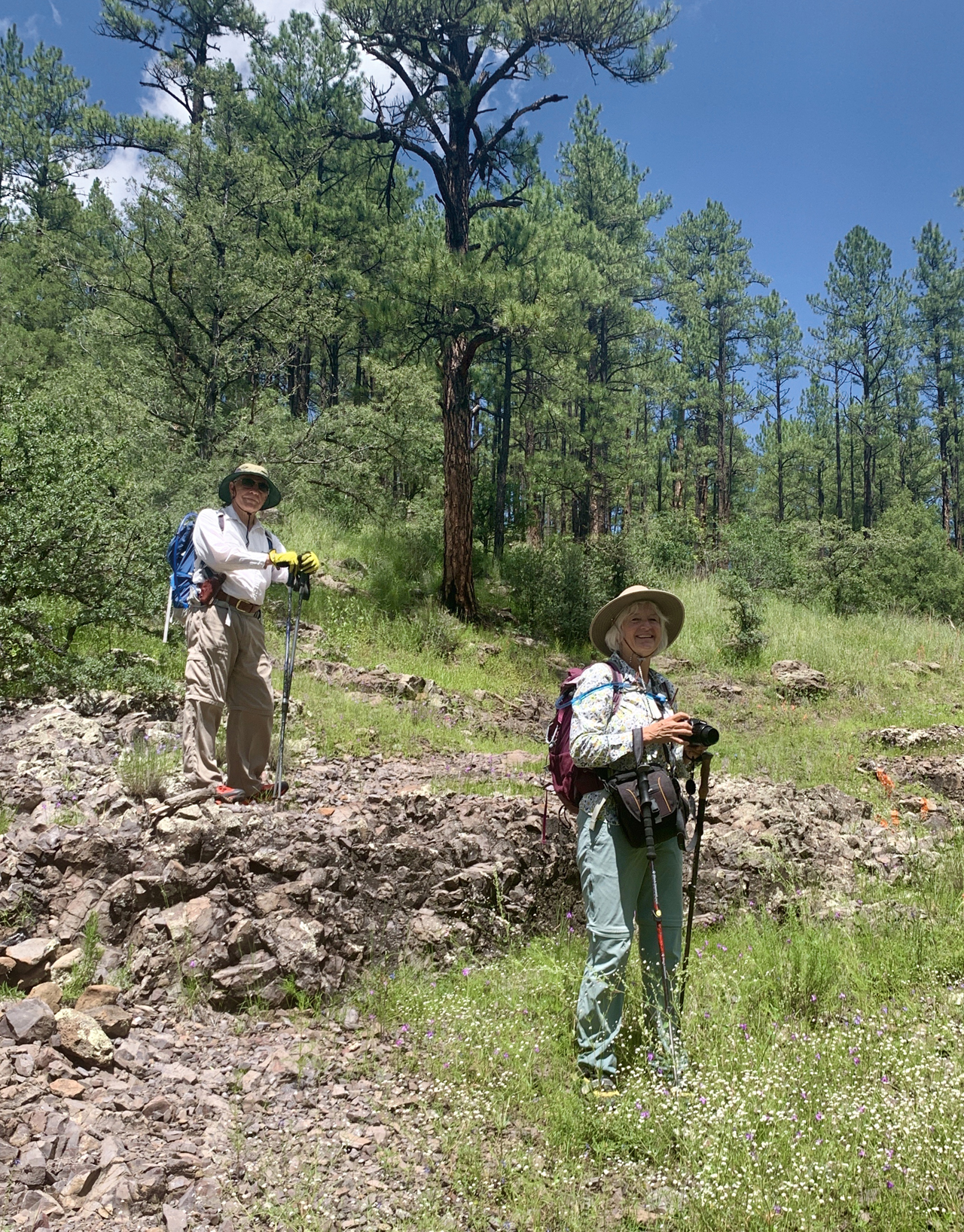
On a lark, we hiked to the summits of a pair of mountains above the campground. Scroll for a panorama of a stunning view from an unnamed peak (8159'). Dennis and I are on the far right. Photo by Ann H.
Rainy Mesa
We broke up the long drive home with a survey of Rainy Mesa, with a few stops along the way.
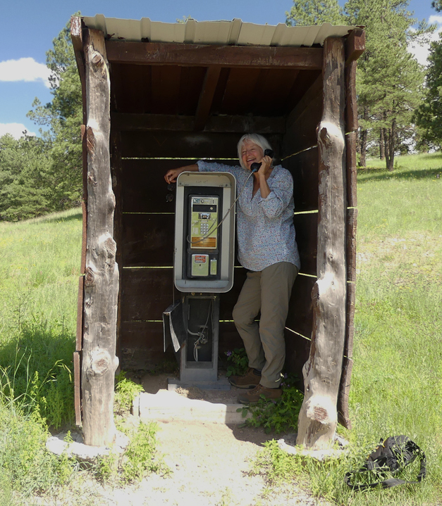
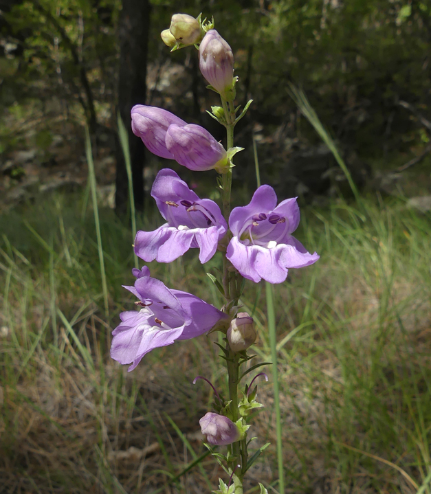
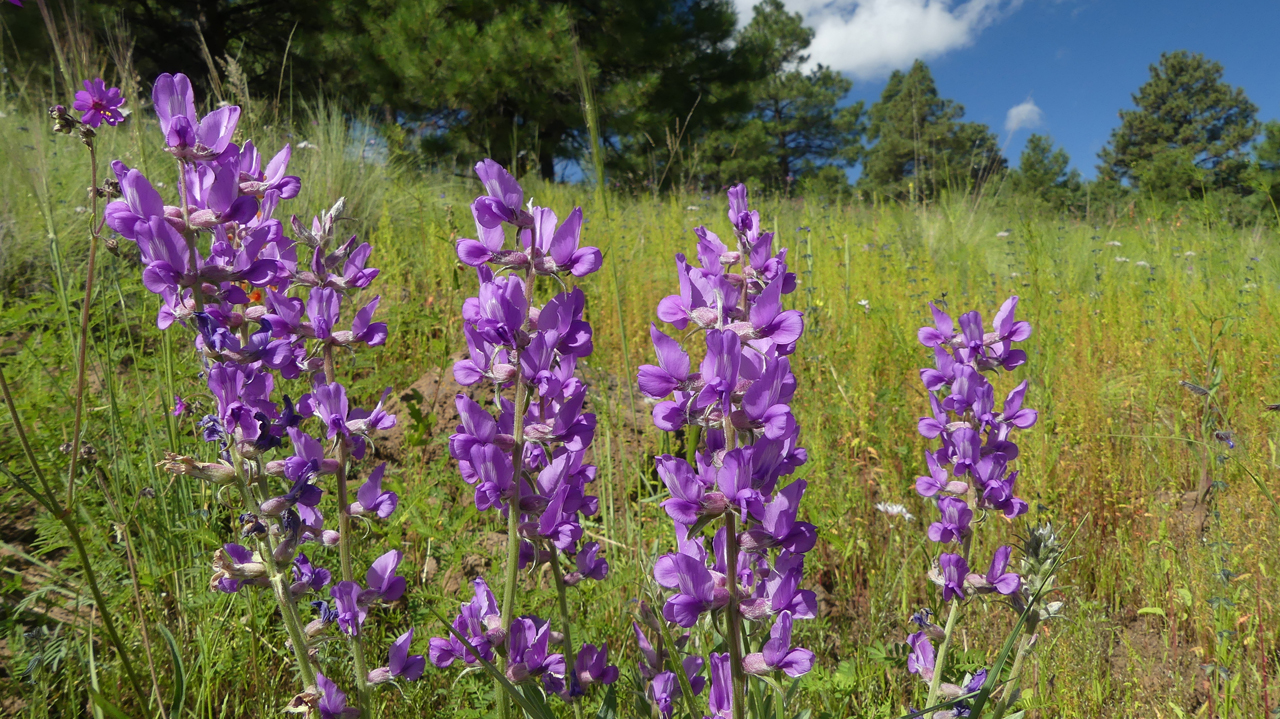
Left: An old phone booth near Negrito Work Center. Right: Upright Blue Beardtongue.
We camped near where a trail once followed abandoned FR 178, but both the road and the trail are long gone. Photo by Ann H.
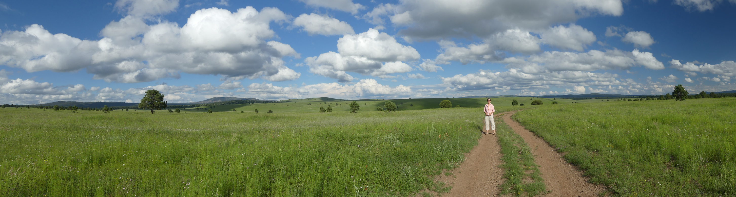
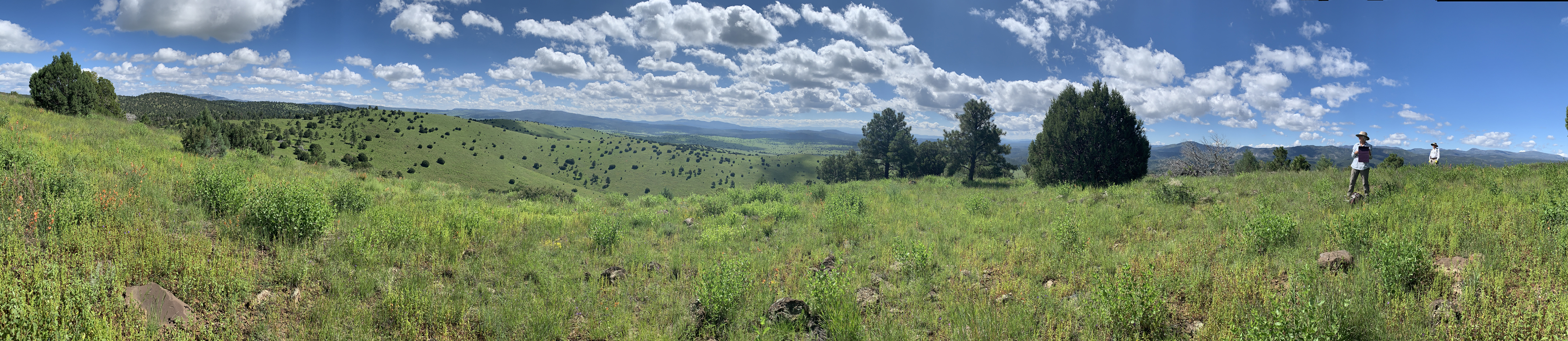
There's so much more to explore, including Ewe Canyon, the most beautiful park I've ever seen. This vast green meadow may actually be the southernmost extension of the Plains of San Agustin. Scroll to see Ann, out standing in her field!
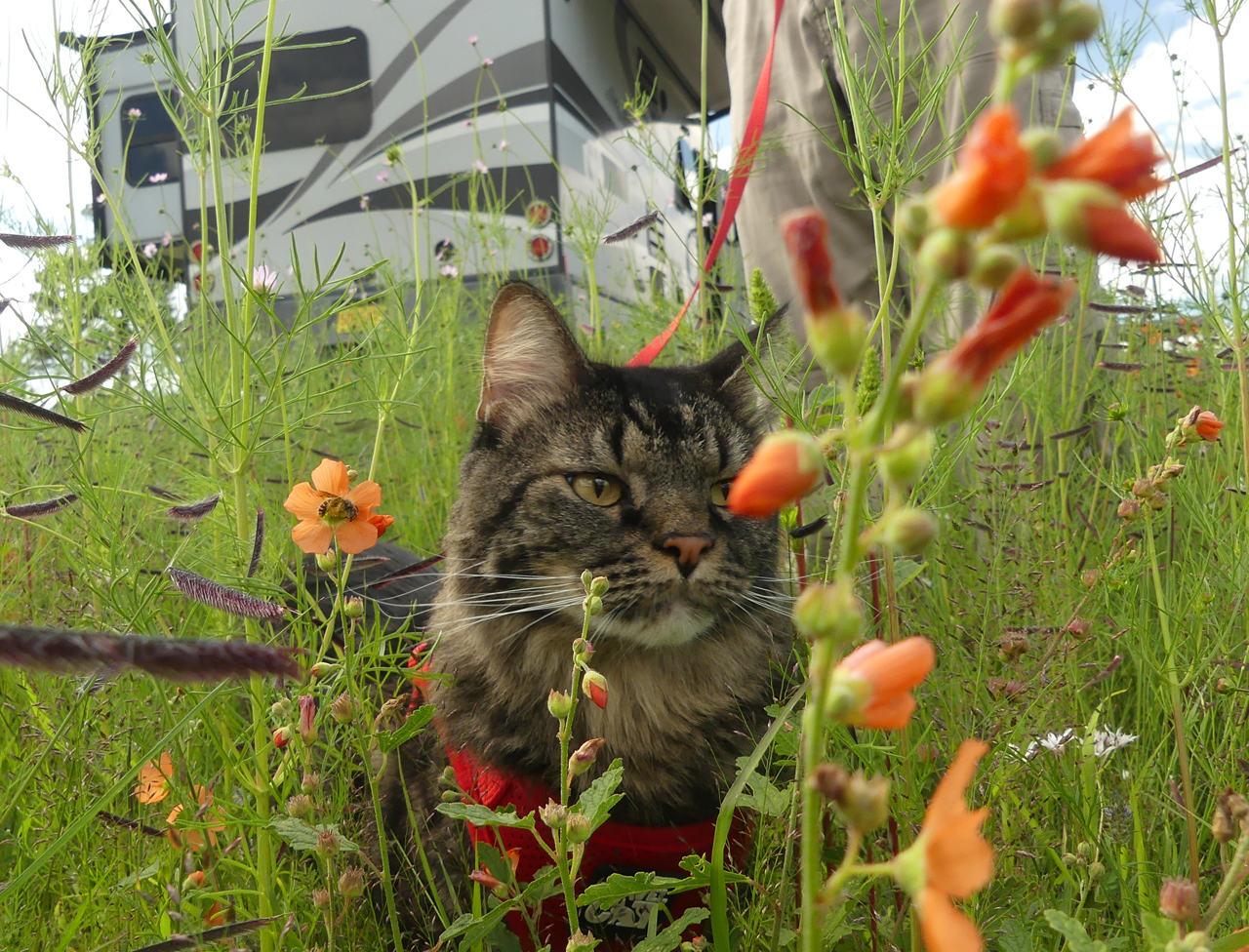
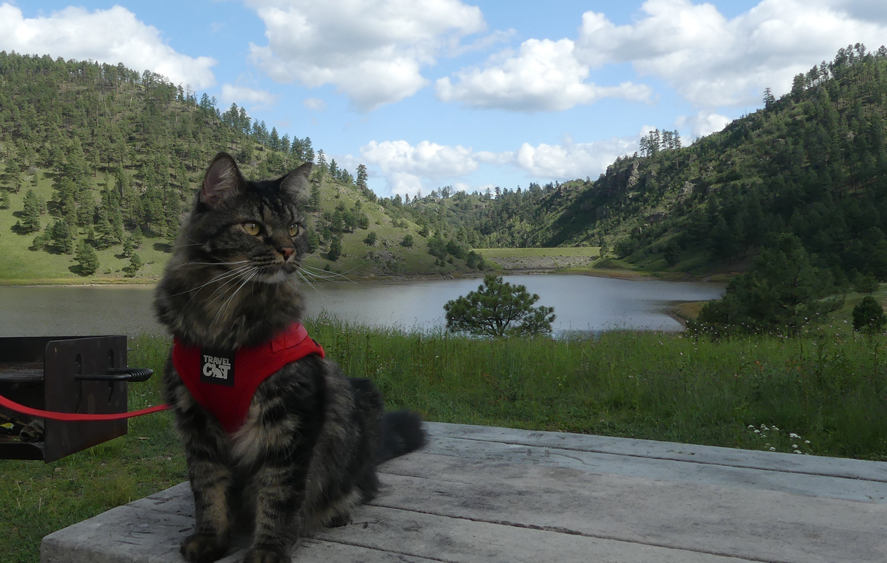
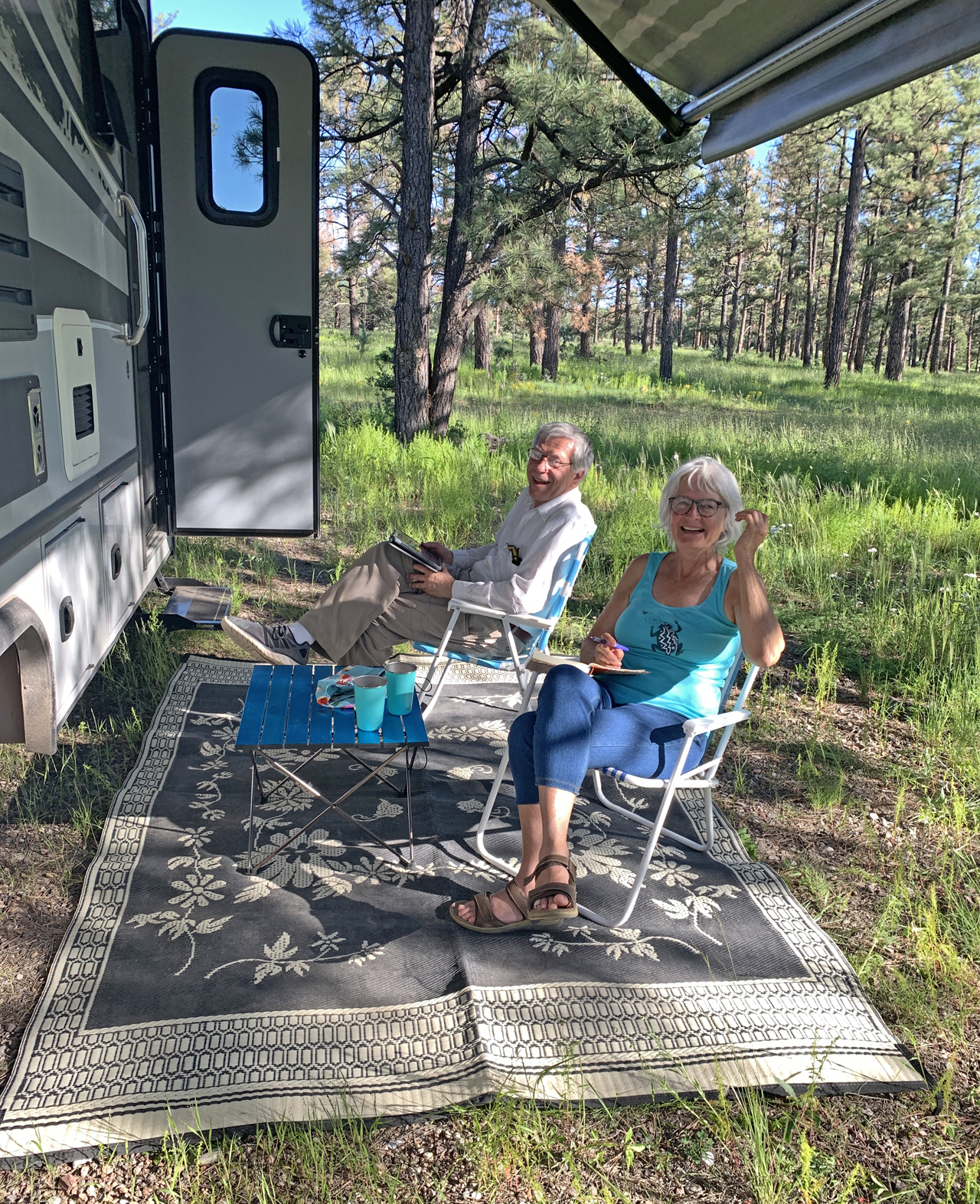
Meanwhile Elio seems to be slowly improving, and delighted in a couple of long walks at our campsites.