Massacre Peak
February 19-20, 2022
Week after week, we return to the Cooke's Peak area, drawn by its fascinating history and expansive views of classic high desert terrain. This time, we worked our way south around the Cooke's Range, searching for alternatives to the very rough road to the remains of the former mining camp at Cookstown.
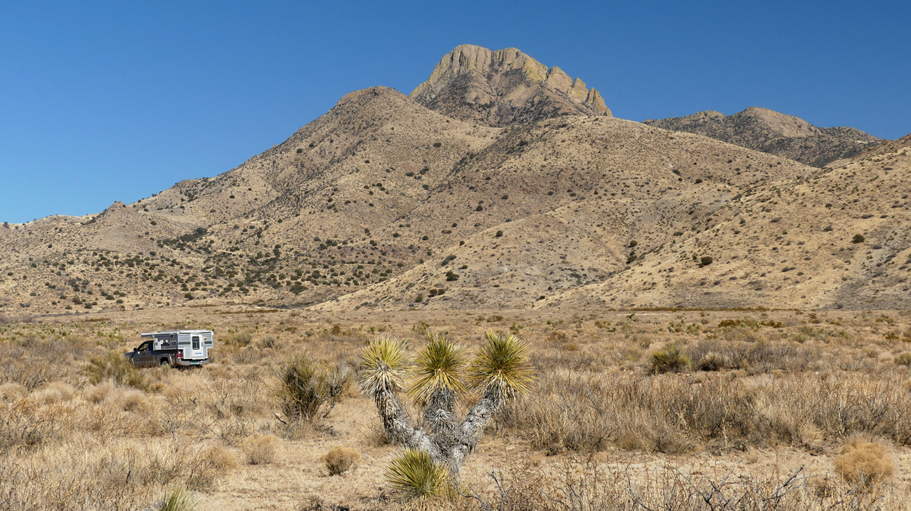
Of course the road was gated, posted and locked, but the drive afforded some unusual views of the Cooke's Range and its namesake Cooke's Peak (8404'), which rises 3600 feet above the surrounding desert floor.
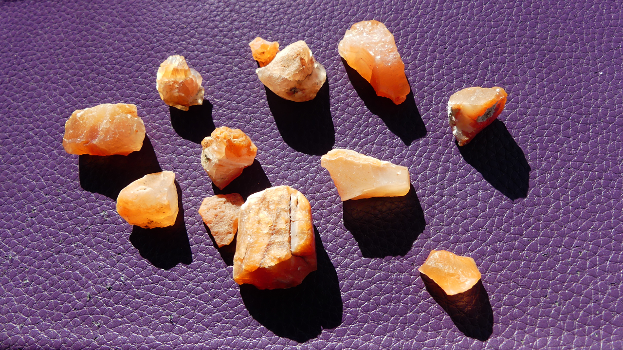
Along the way, we stopped to search for carnelian, which flickers like small flames in the early morning sunshine.
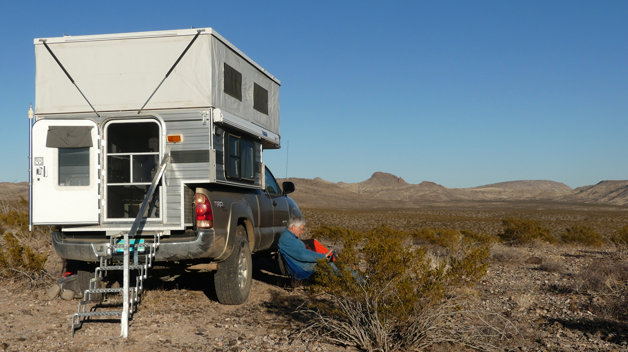
We camped that night on an isolated ridge in the Pony Hills. We sure do love the absolute silence and of this place, and watching the red outline of the setting sun behind the perfect silhouettes of the low and ragged hills. And the dazzling display of stars makes you glad you need to go out for a pee at 3:00 am!
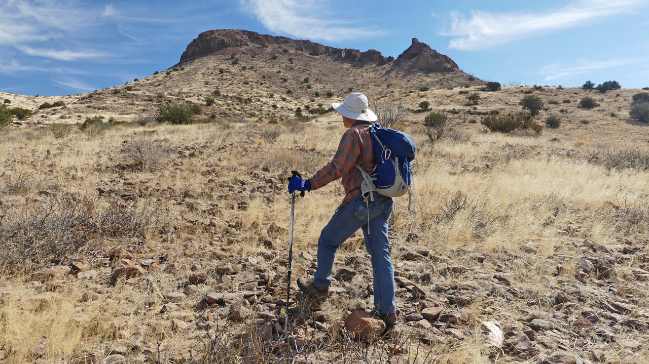
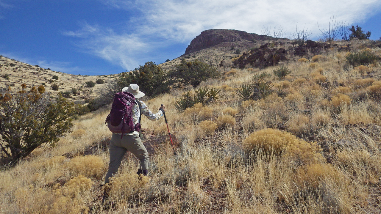
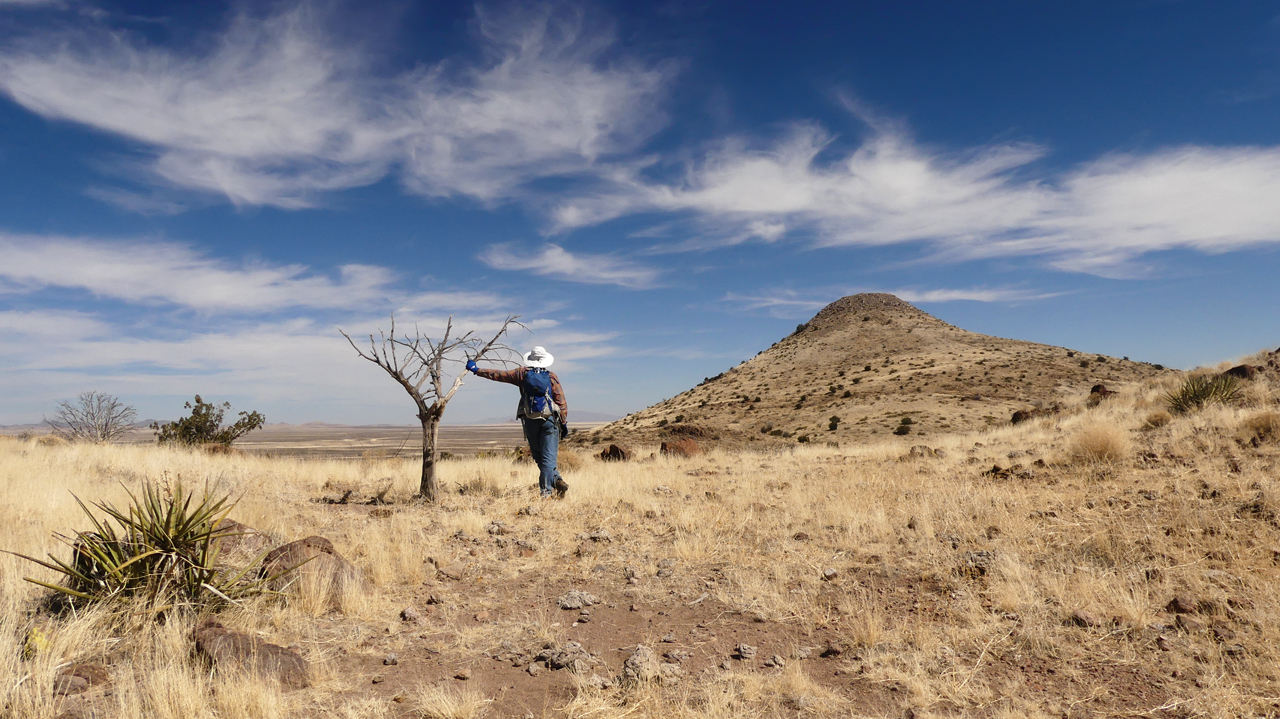
The next morning we broke camp and headed for Massacre Peak.
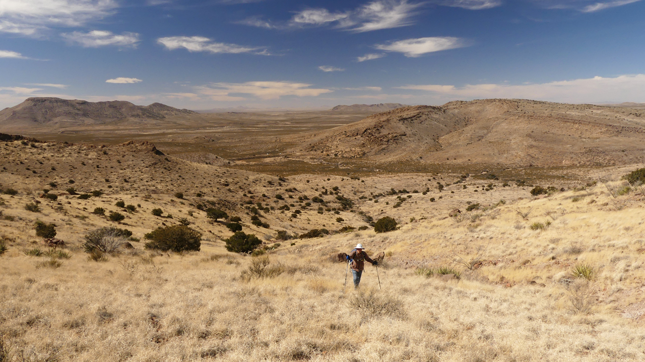
There's no trail here, but it was a surprisingly easy bushwhack to a low saddle north of the summit.
We spotted a very bushy-tailed fox on our way up. He was too far away for a photo. I wonder what they find to eat or drink here?
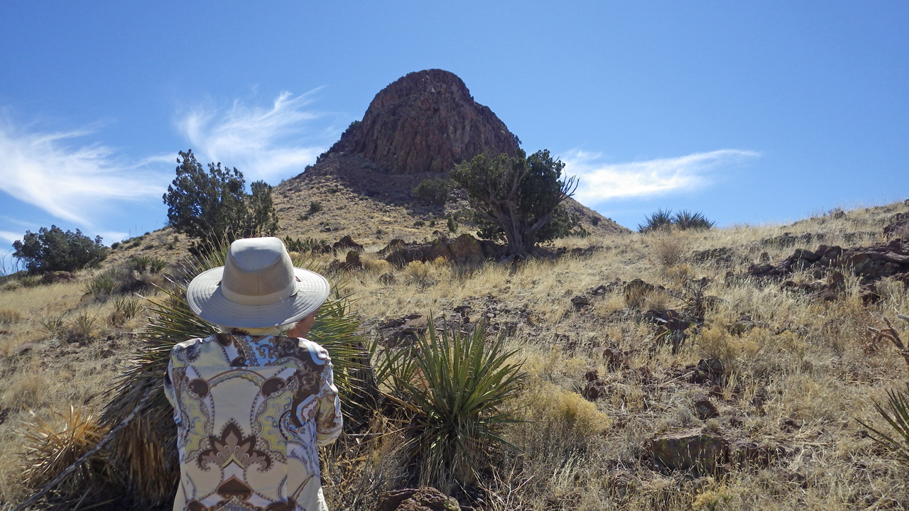
The imposing north face of Massacre Peak.
From the saddle, a former sea bed — now blanketed in yellow grass — stretches to the horizon, broken only by dark patches of creosote and rabbit brush.
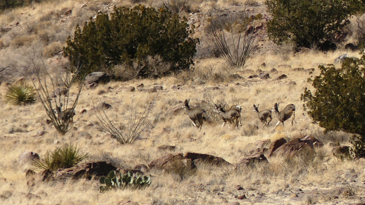
On the way down, we flushed a herd of nine deer, flying across the rocky terrain as only they can.
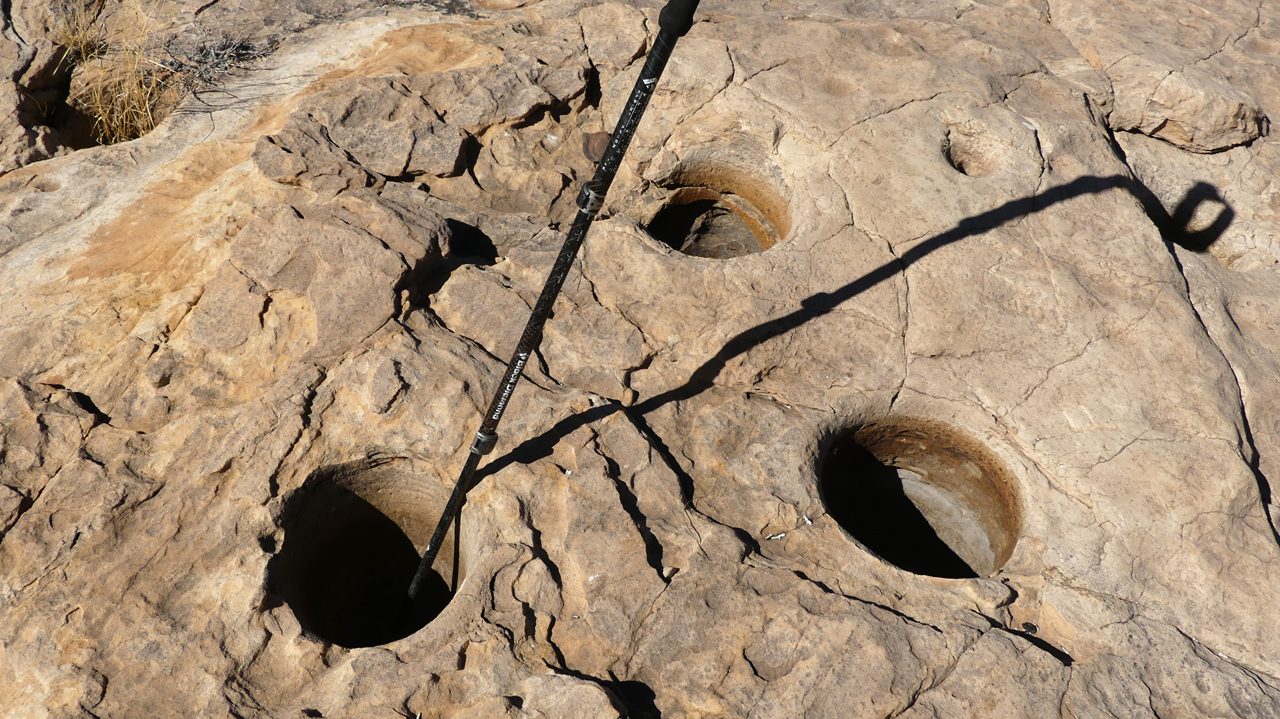
Near the dam, we came across another cluster of exceptionally deep bedrock mortars. They must have been well used over a very long period of time.
'