Not Everyone's Idea of a "Florida Vacation"
Kilbourne Hole, West Potrillo WSA and Florida Mountains WSA
November 29-December 4, 2019
Those long winter holiday weekends present a special challenge because most of the places we'd like to hike and camp are sleeping under a blanket of snow. We're always looking for new places to explore close to the southern US border. Still, for years we overlooked the Florida Mountains of southern New Mexico. The Floridas are a small range — only about 12 miles long — but with jagged peaks soaring to nearly 7300', and opportunities aplenty for wilderness exploration.
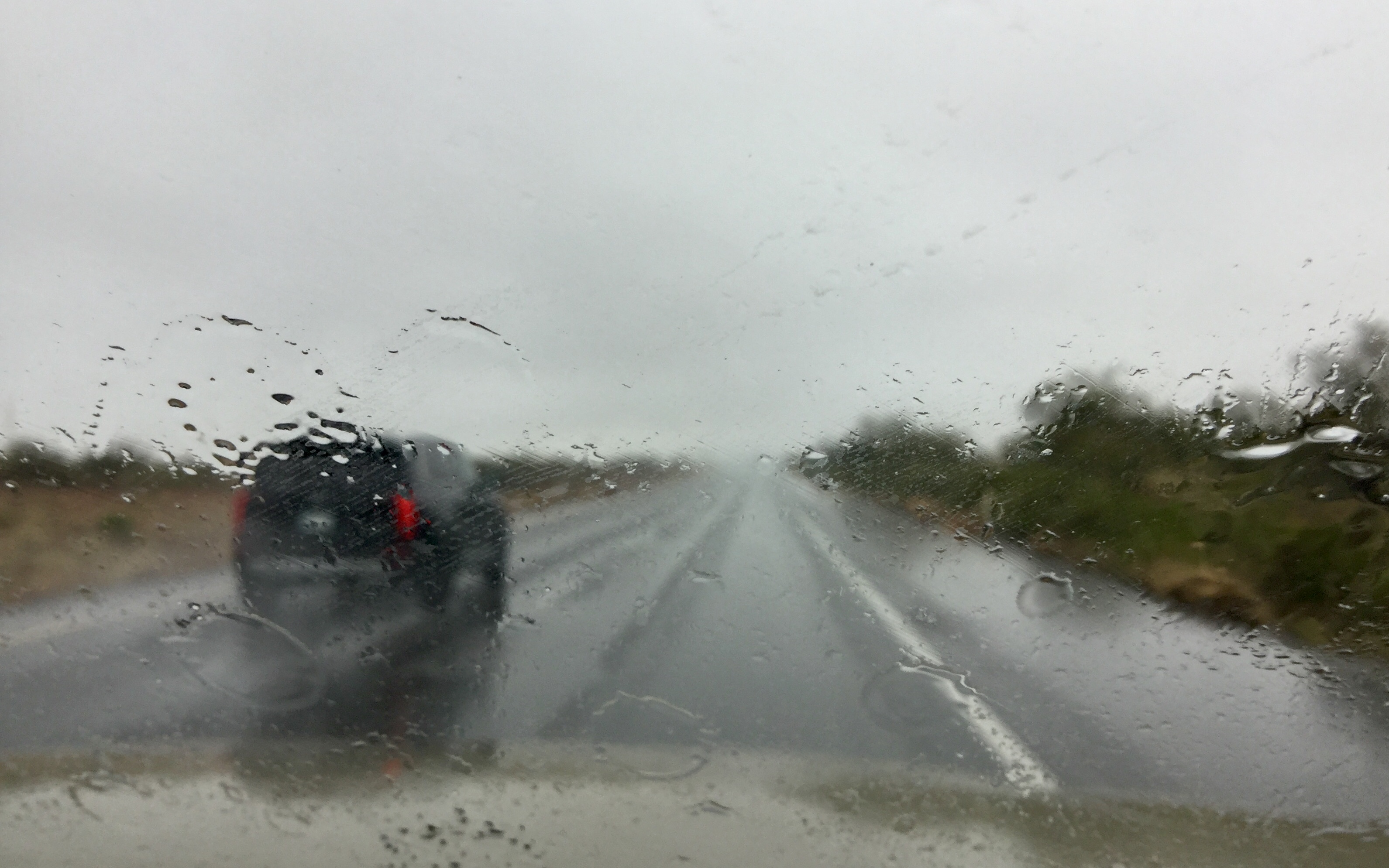
We had to push this trip forward two days to escape unseasonal cold and huge storm that swept through the Southwest on Thanksgiving Day, dumping 22" on snow on Mount Lemmon and more than an inch of rain on Tucson. Cold, dreary days like this are why we moved to the Southwest!
Fortunately we had booked two campsites at Faywood Hot Springs for the first and last nights of the trip. It was still bitterly cold — below freezing at night with wind gusts up to 45 mph.
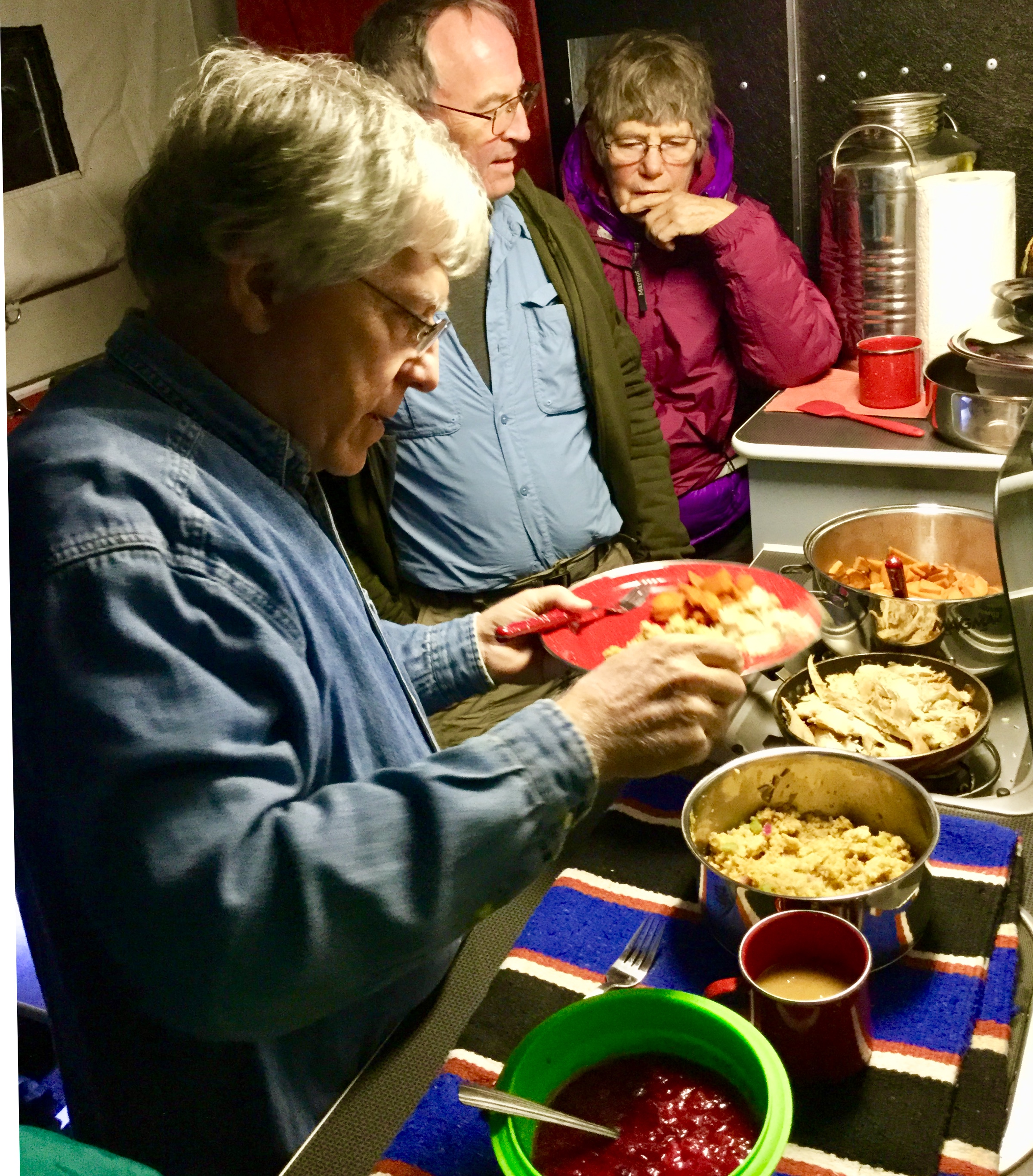
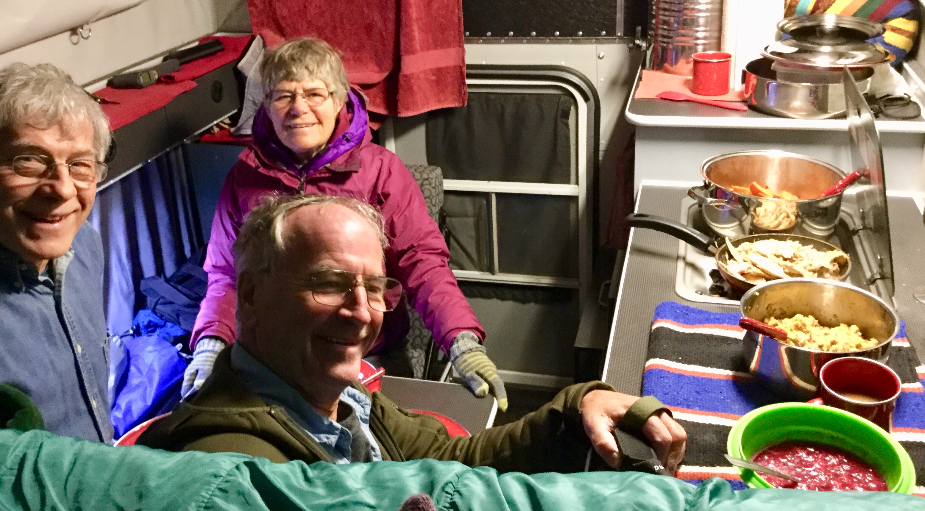
Belated Thanksgiving dinner in the camper. Turkey, candied sweet potatoes, stovetop stuffing, instant gravy and homemade cranberry-orange sauce. Don't try this at home, but with wind howling and temperatures in the 30s, it tastes great!
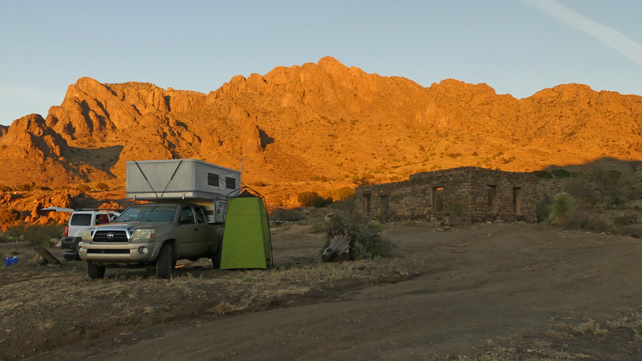
The sun popped out on Saturday, but it was still cold and very windy. We headed for the relative calm of Kilbourne Hole, via a circuitous route that took us back and forth across the railroad tracks to avoid some sketchy-looking stretches of muddy water.
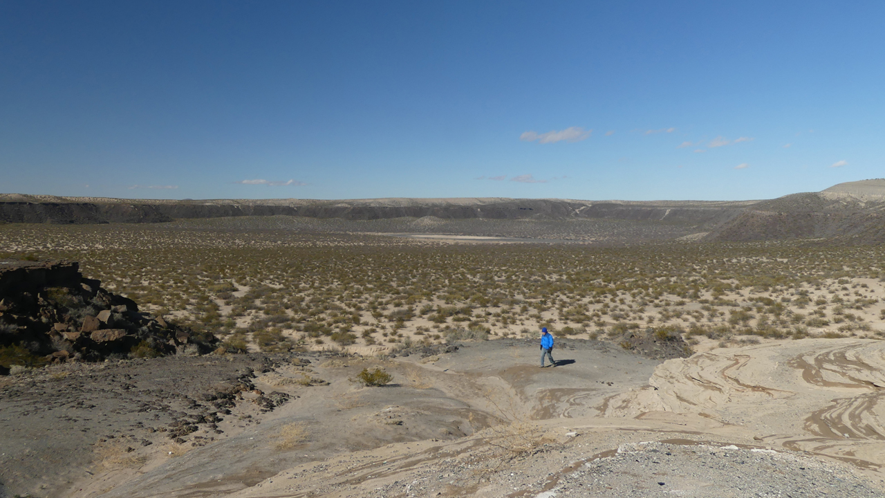
Kilbourne Hole is a "maar" crater that formed as a result of the explosive interaction of hot basaltic magma with groundwater during a volcanic eruption. We visited this area briefly two years ago, on our way to the Guadalupes.
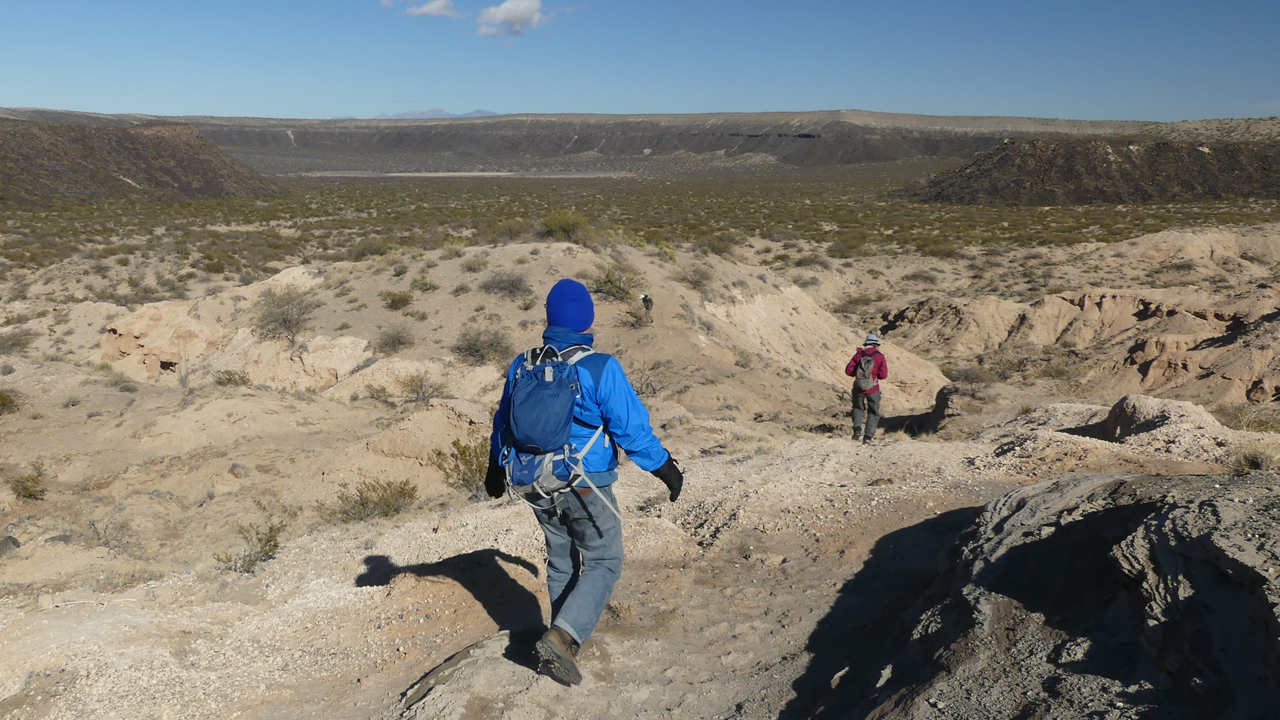
We located a cattle path that took us down into the crater, where we were very happy to finally find some relief from the wind.
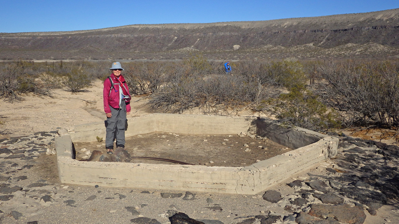
Near the crater bottom are remnants of a substantial ranching operation, including a large corral, a drilled well and many foundations. Photo by David.
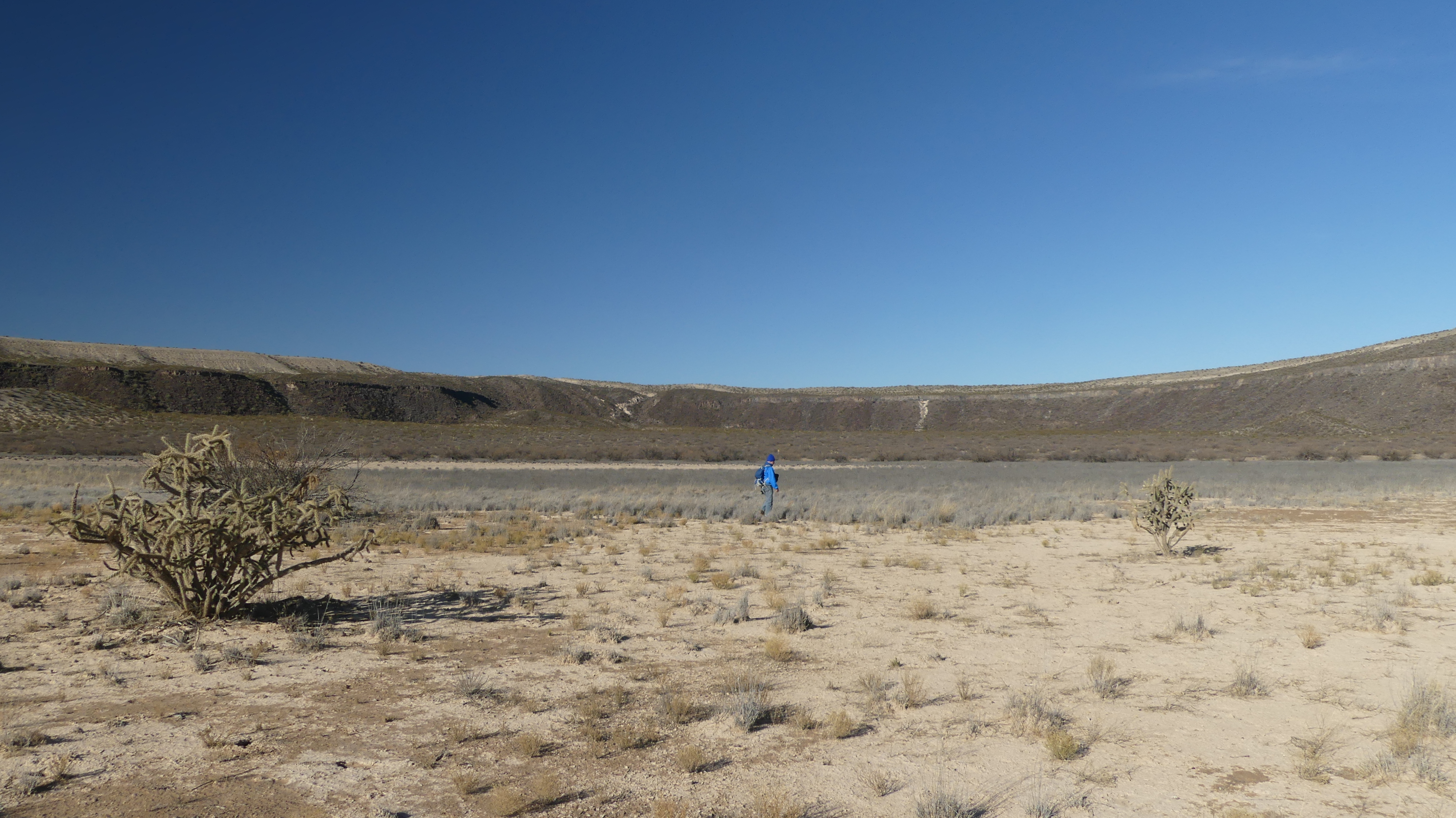
The "dry lake" section at the very bottom of the crater.
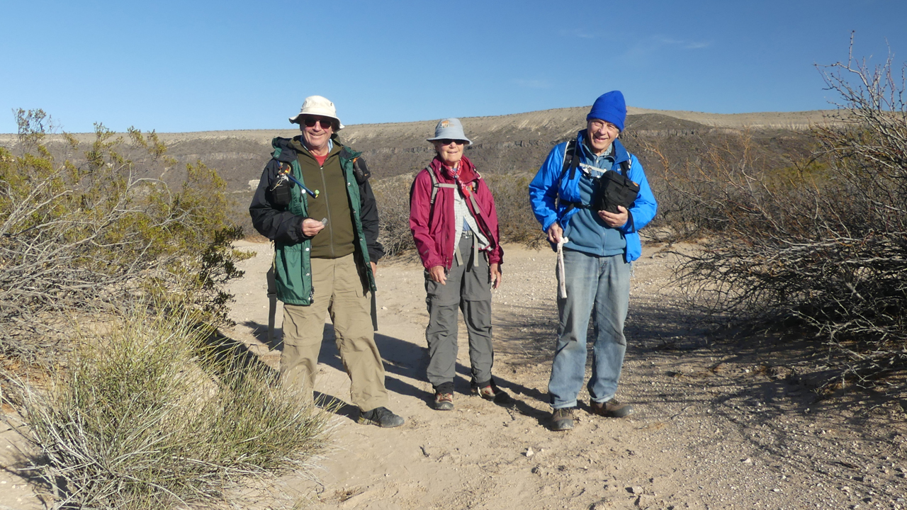
David, Rogil and Dennis offering me a replacement hip bone for the one I cracked when I caught air off the camper steps two years ago.
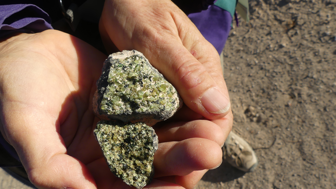
I found a couple of nice chunks of olivine/peridot.
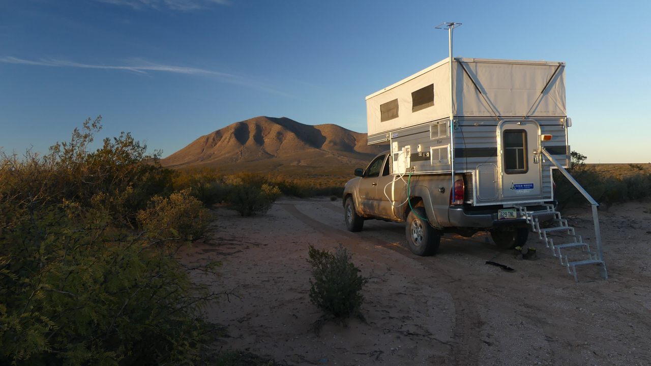
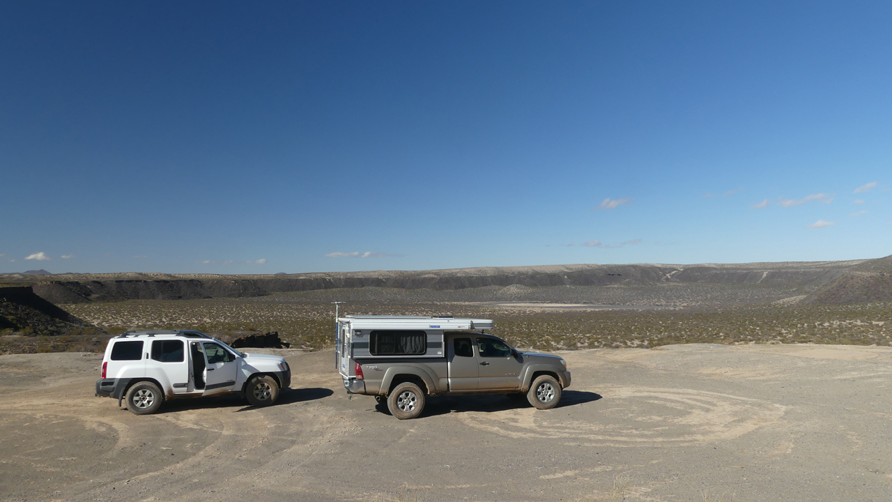
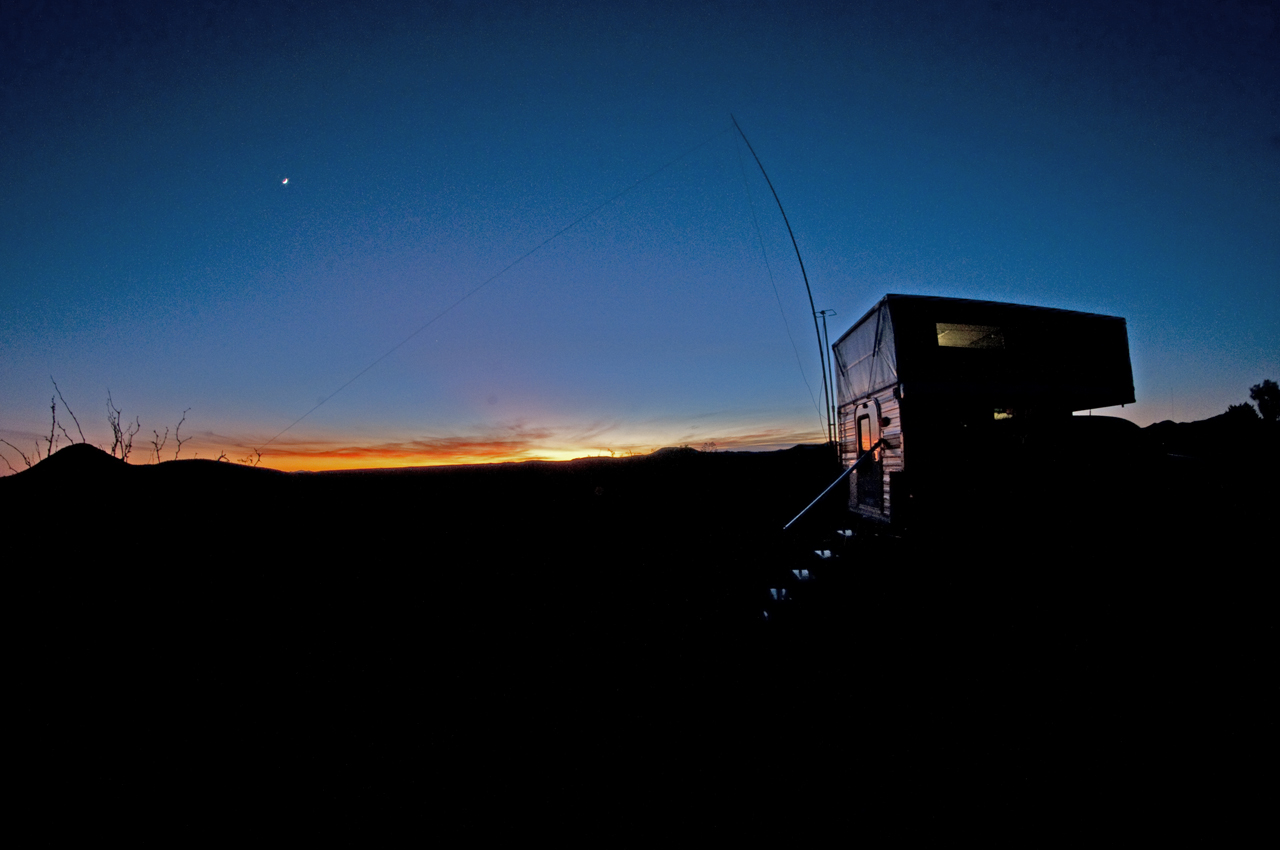
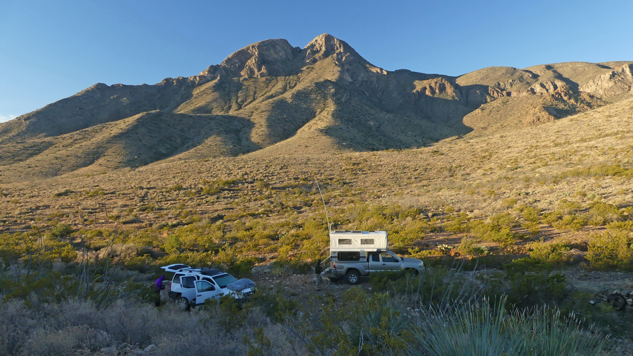
We had planned to camp where we did last time, in the nearby West Potrillo WSA. But since our last visit, signs have been posted barring motorized travel. A bit farther south, however, we found a great boondocking site on a sandy knoll.
I swear, the West Potrillos have the most spectacular sunsets anywhere in the Southwest!
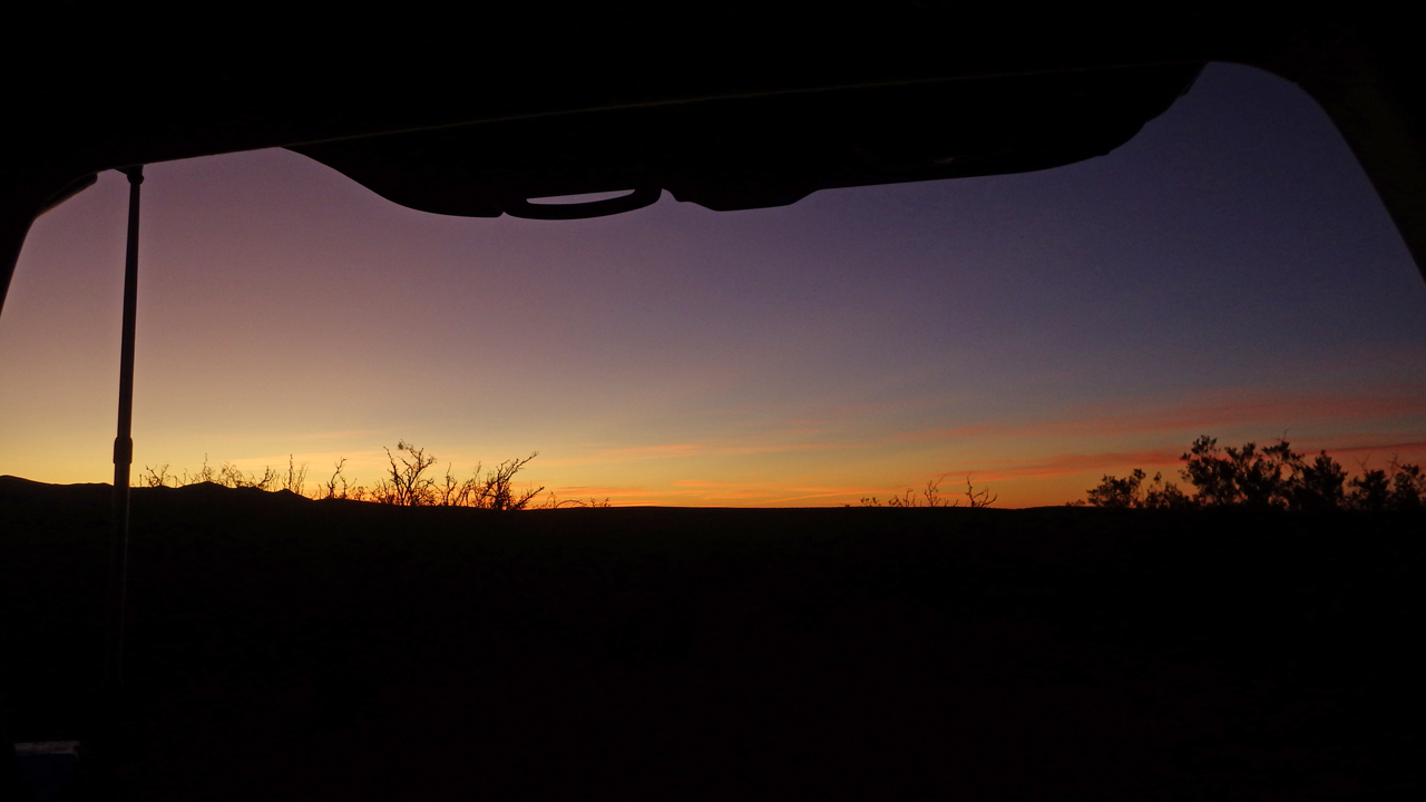
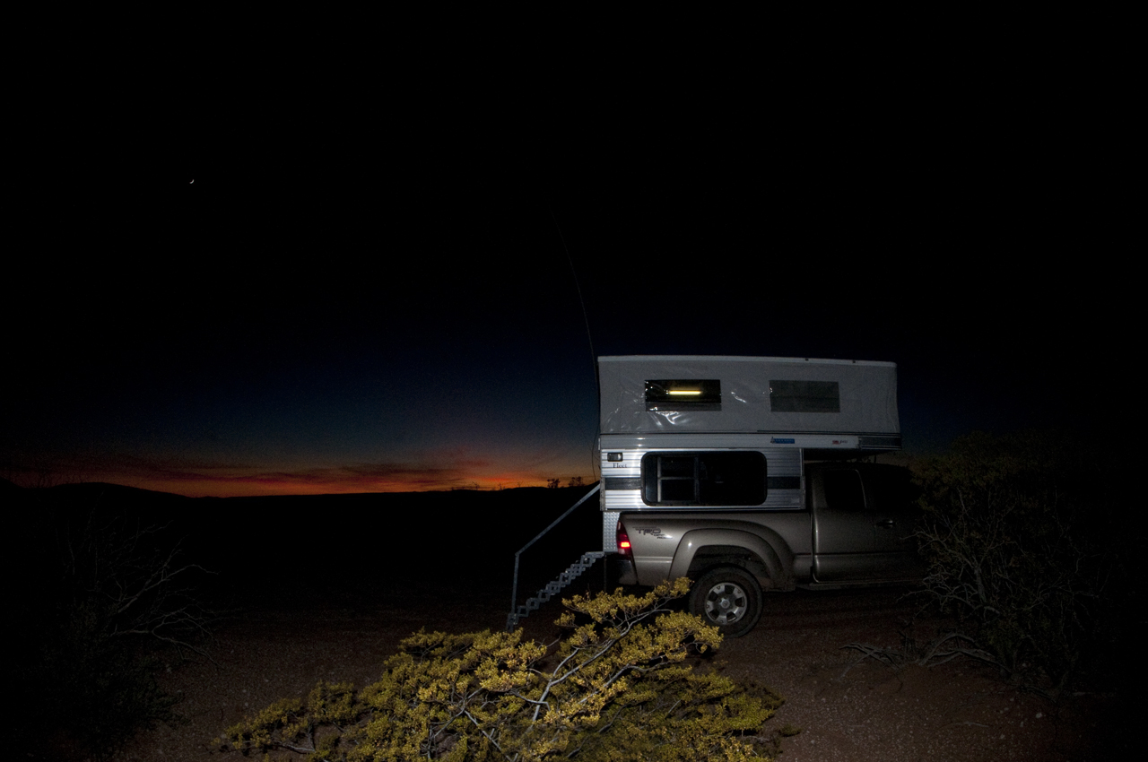
Case in point. This is the view out the back of David and Rogil's "RV". Photo by David.
I don't know why I love this area so much. There's just something about it. Well, actually, there's NOTHING about it. Just so much nothing!
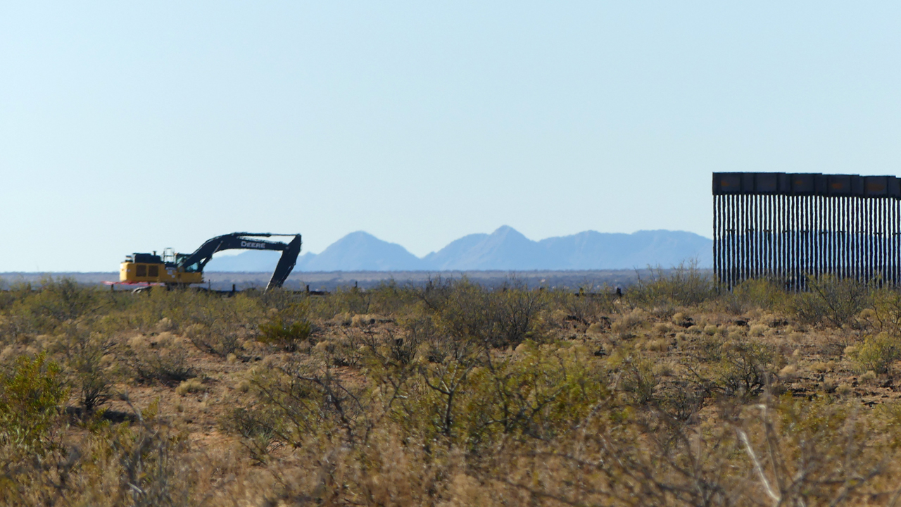
In the morning we continued south toward NM 9, a particularly desolate and lovely road that wanders just north of the Mexican border. I was very much taken aback to see the new border wall under construction in this unpopulated area.
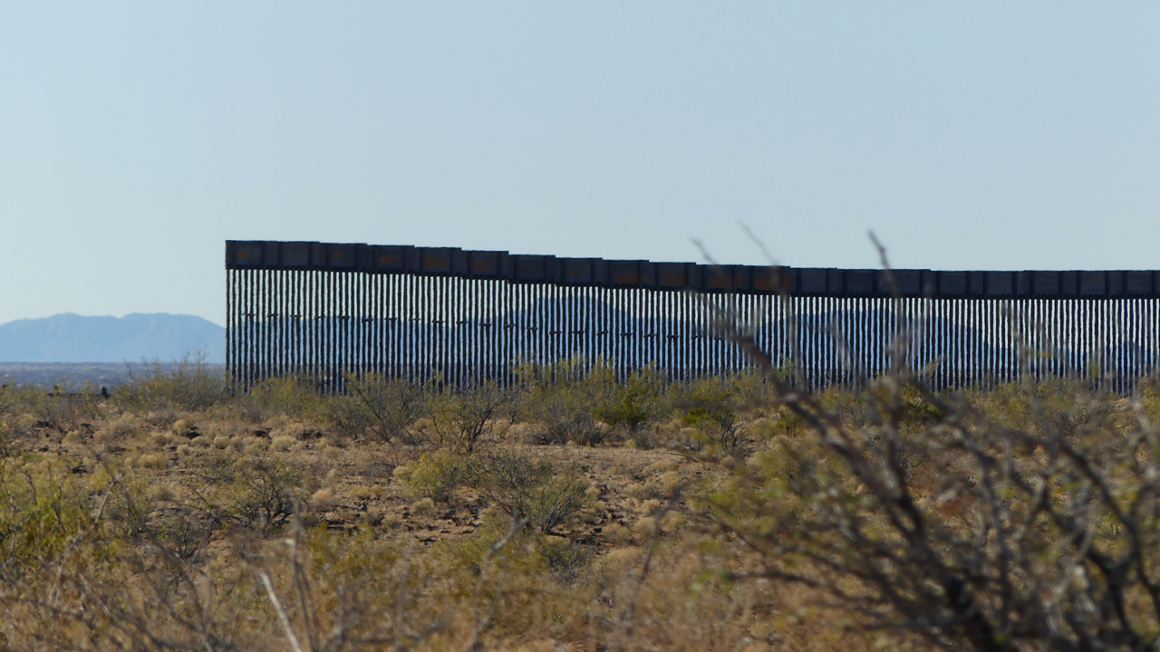
The wall sections are stacked up for miles and miles in both directions, as far as the eye can see.
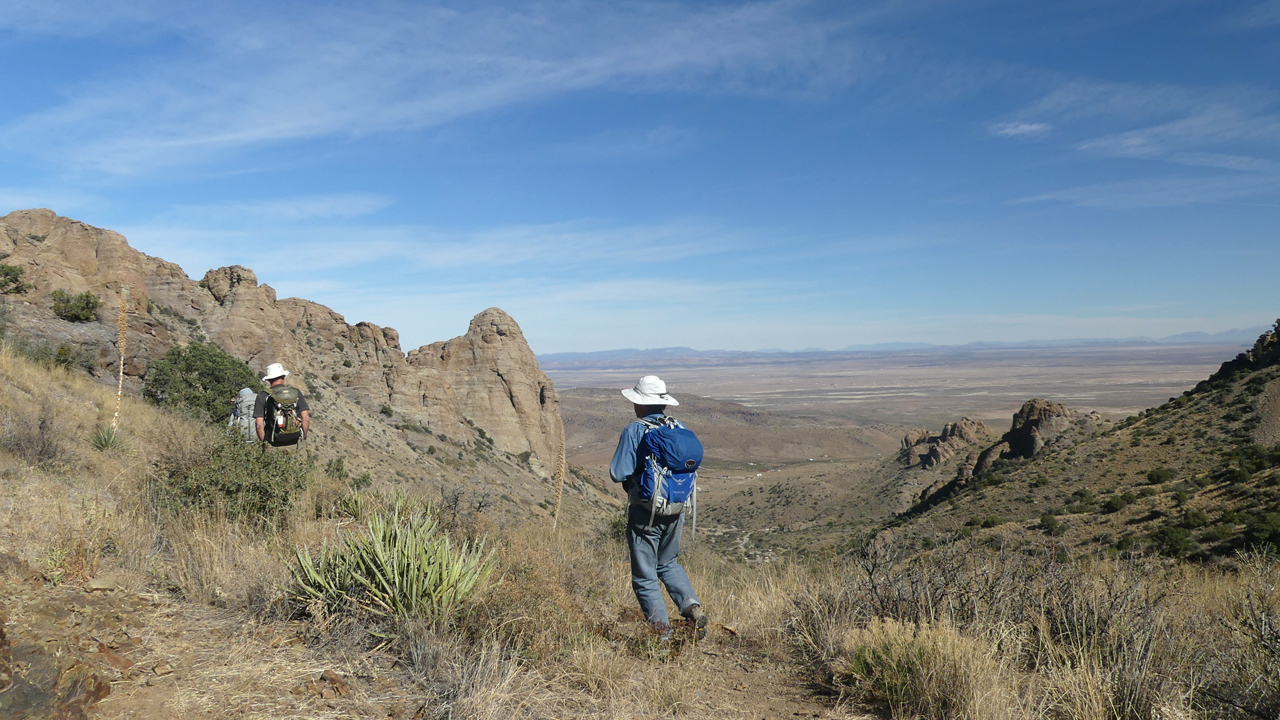
After a quick stop in the surprisingly cute little hamlet of Columbus, NM, we crept north on two-rut sand roads to Mahoney Park.
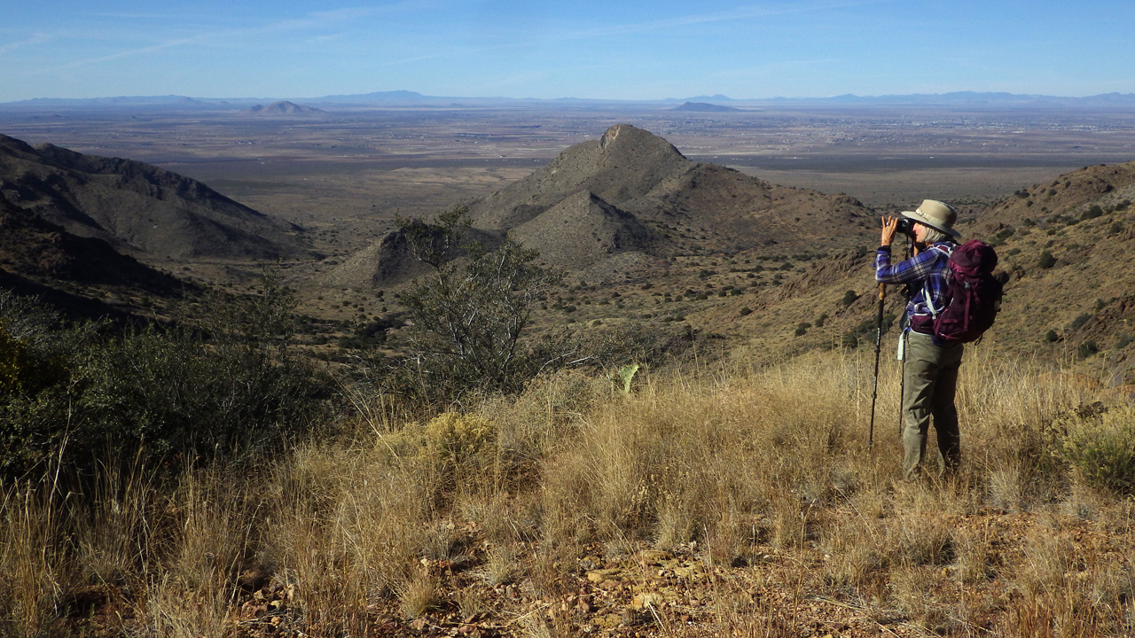
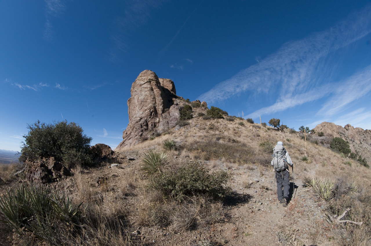
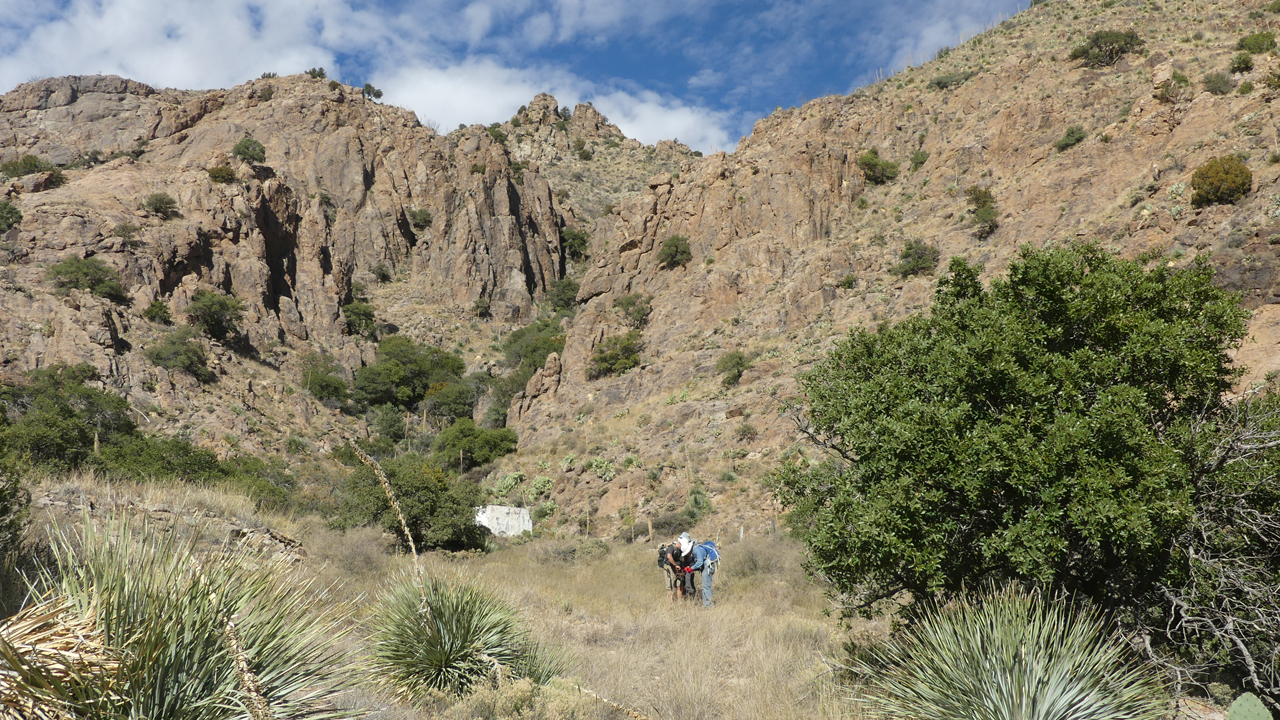
From Mahoney Park, it is possible to hike along a very, very bad road about 2½ miles to the top of the ridge.
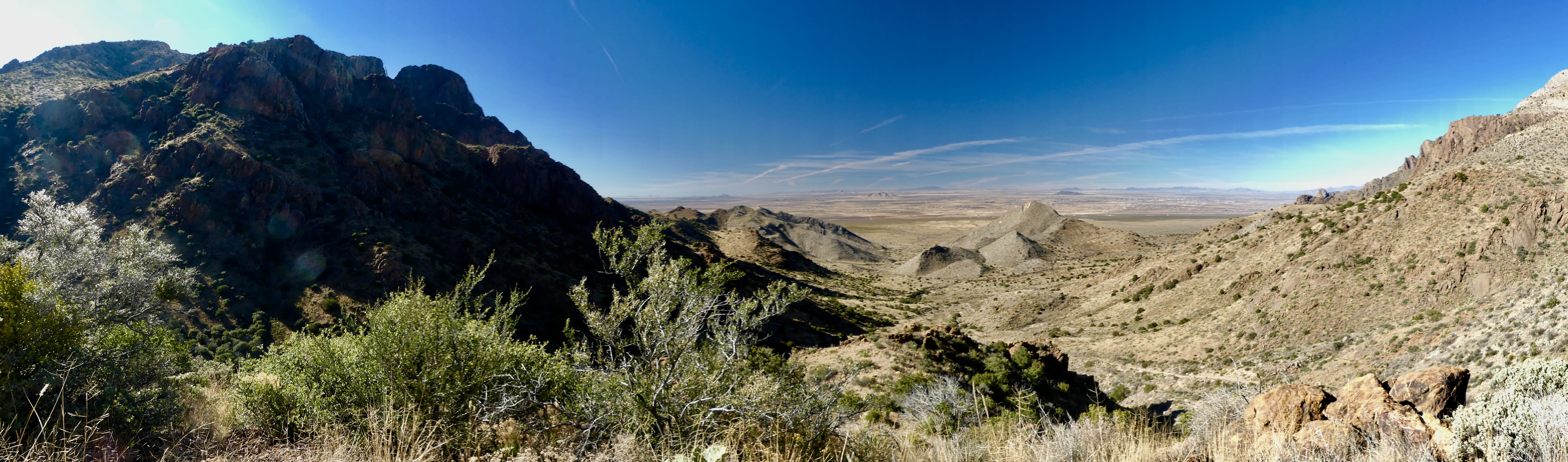
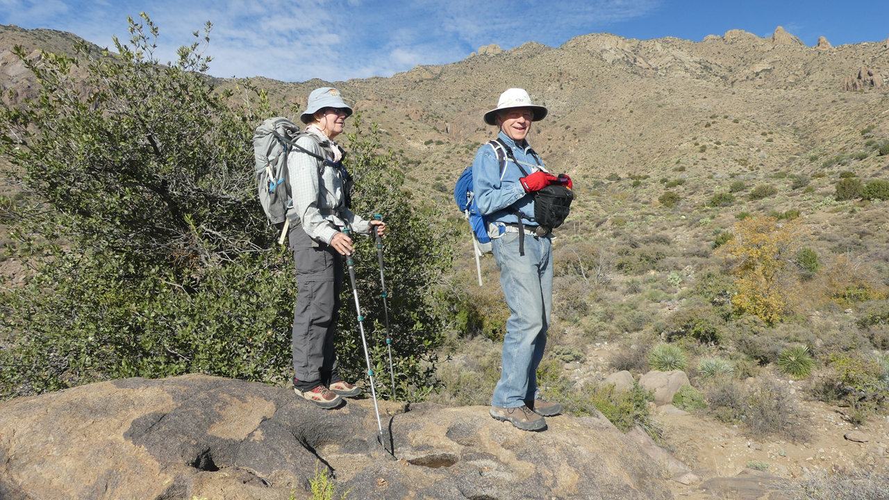
Great views to the west partway up the trail.
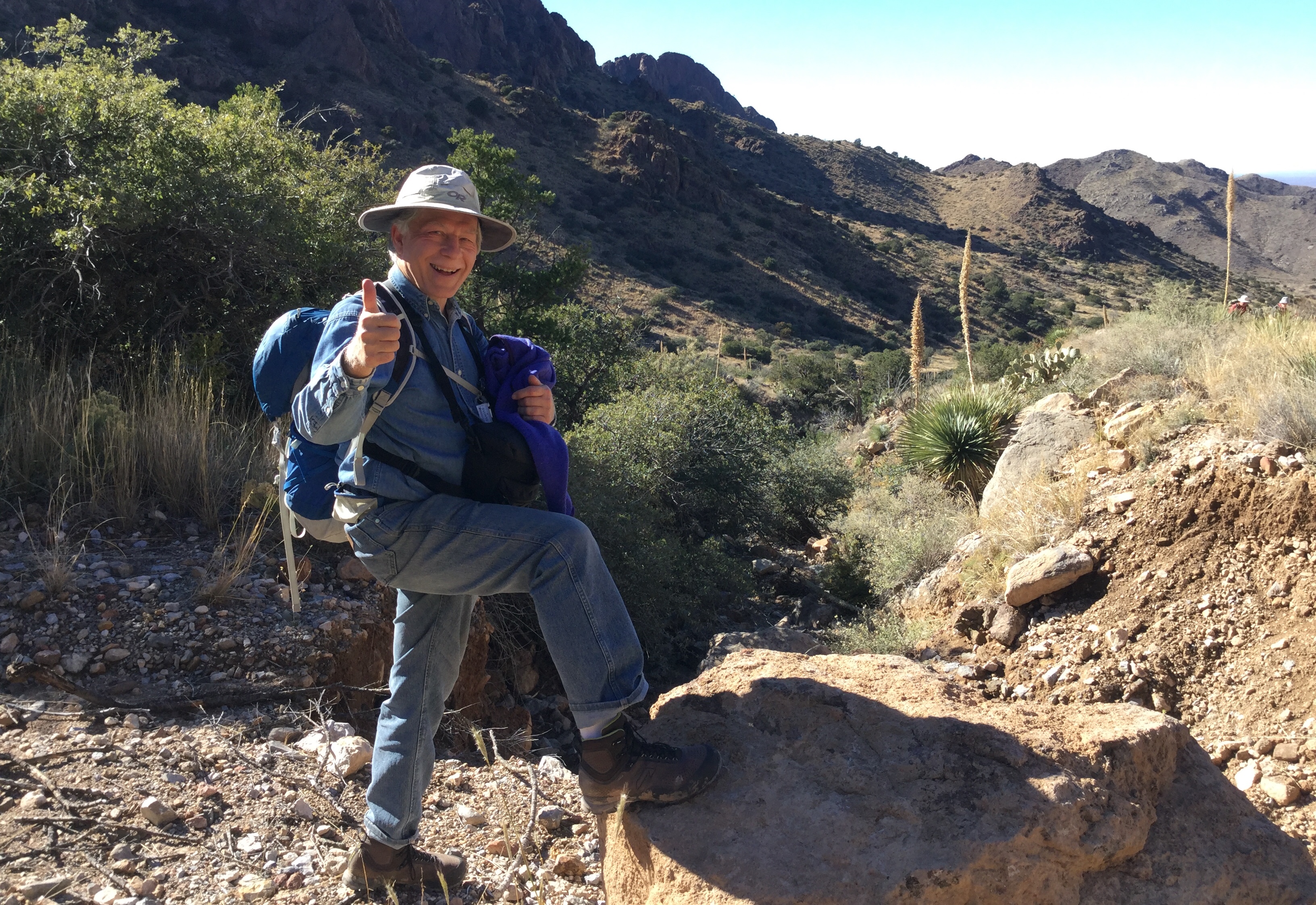
Stopping for a photo (and to catch my breath). Photo by David.
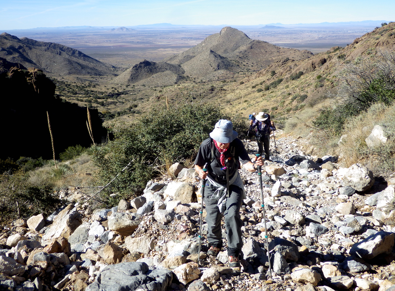
The "trail" is crazy steep and rocky, with some sections washed out to a depth of four feet or more. Photo by David.
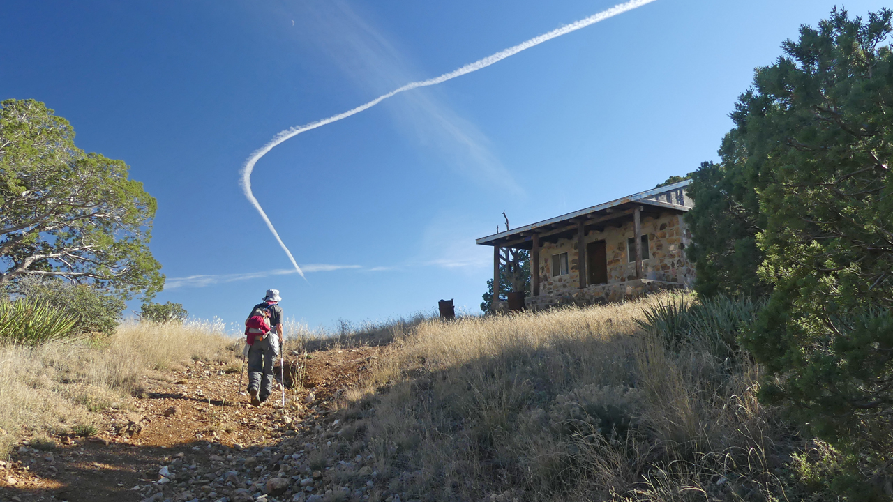
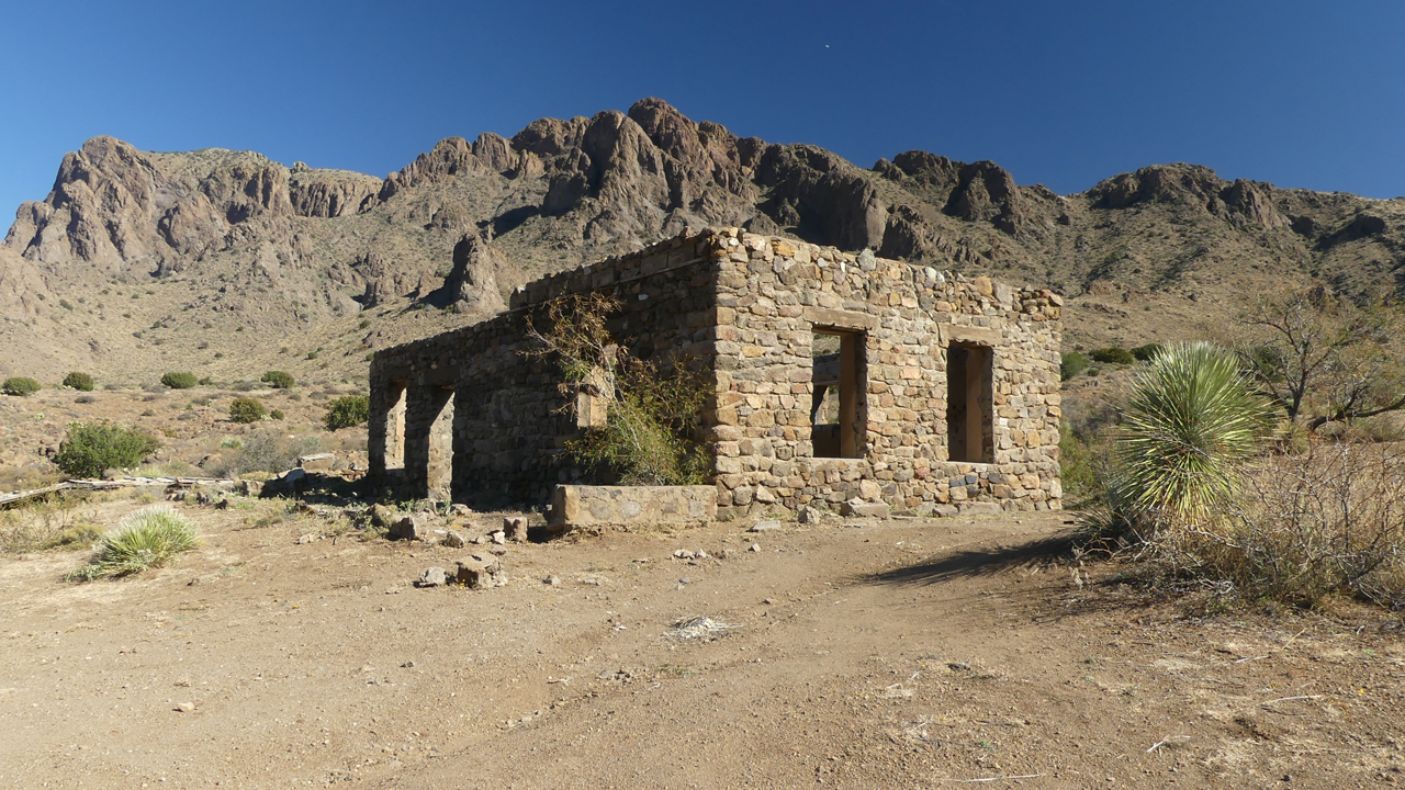
There is a remarkably intact stone cabin in a saddle at 6400 feet.
View from the cabin. The wooden box appears to be part of an old wagon.
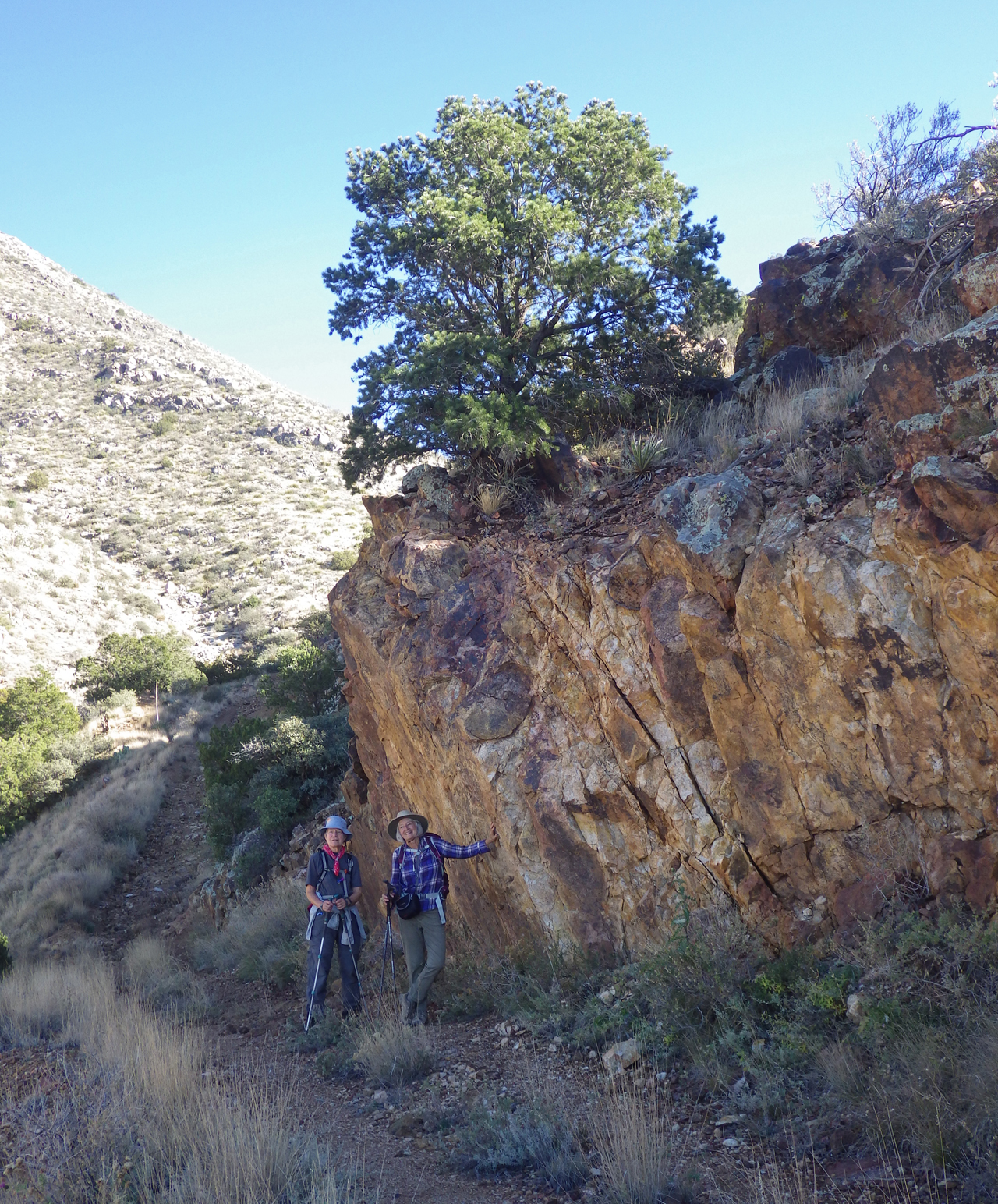
Rogil and me. Photo by David.
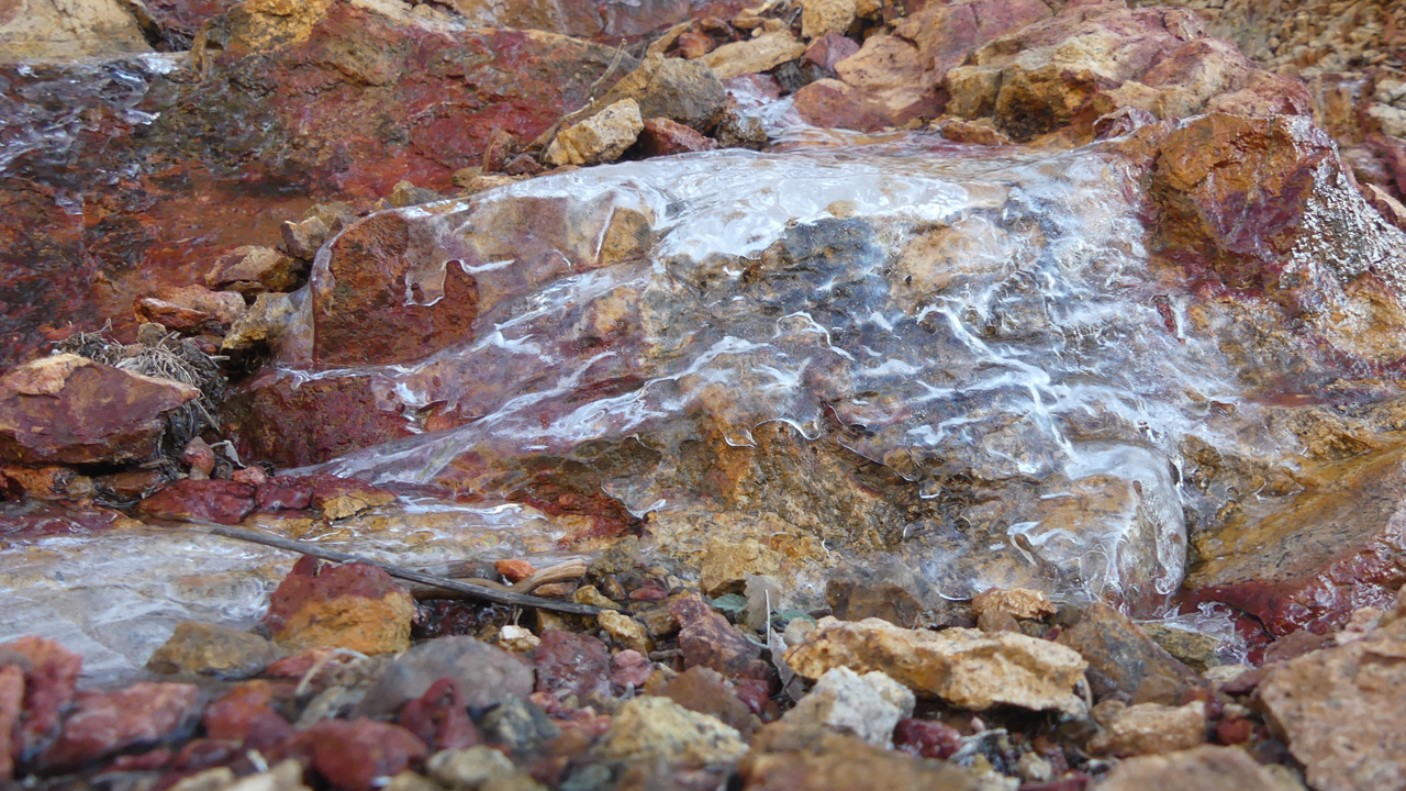
Ice on the trail.
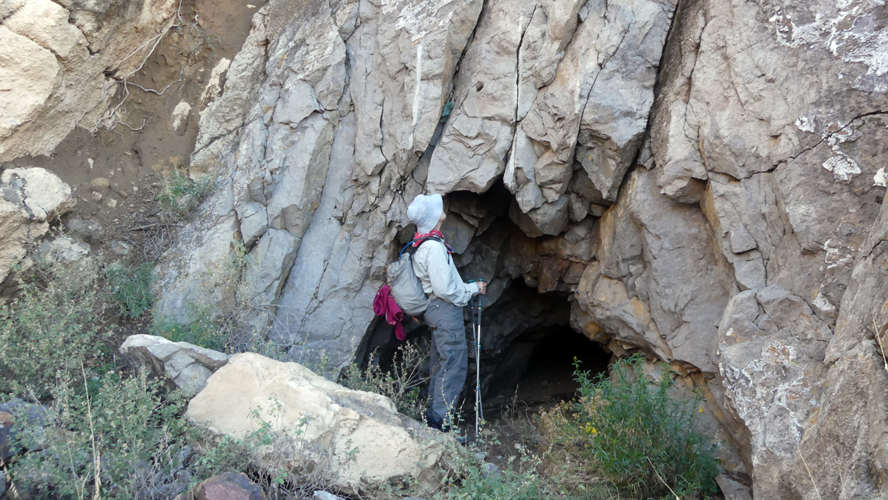
One of many, many adits in the area.
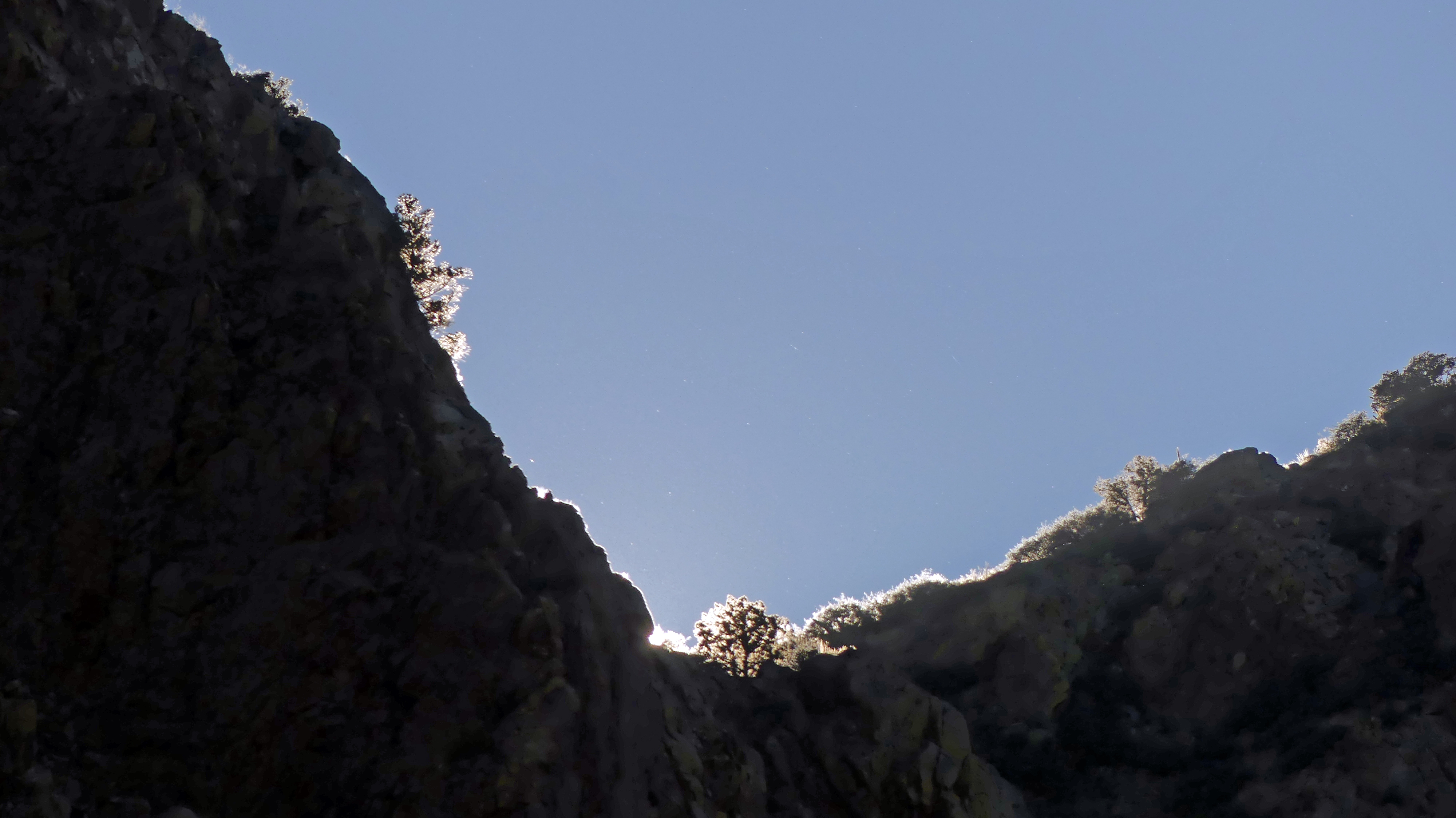
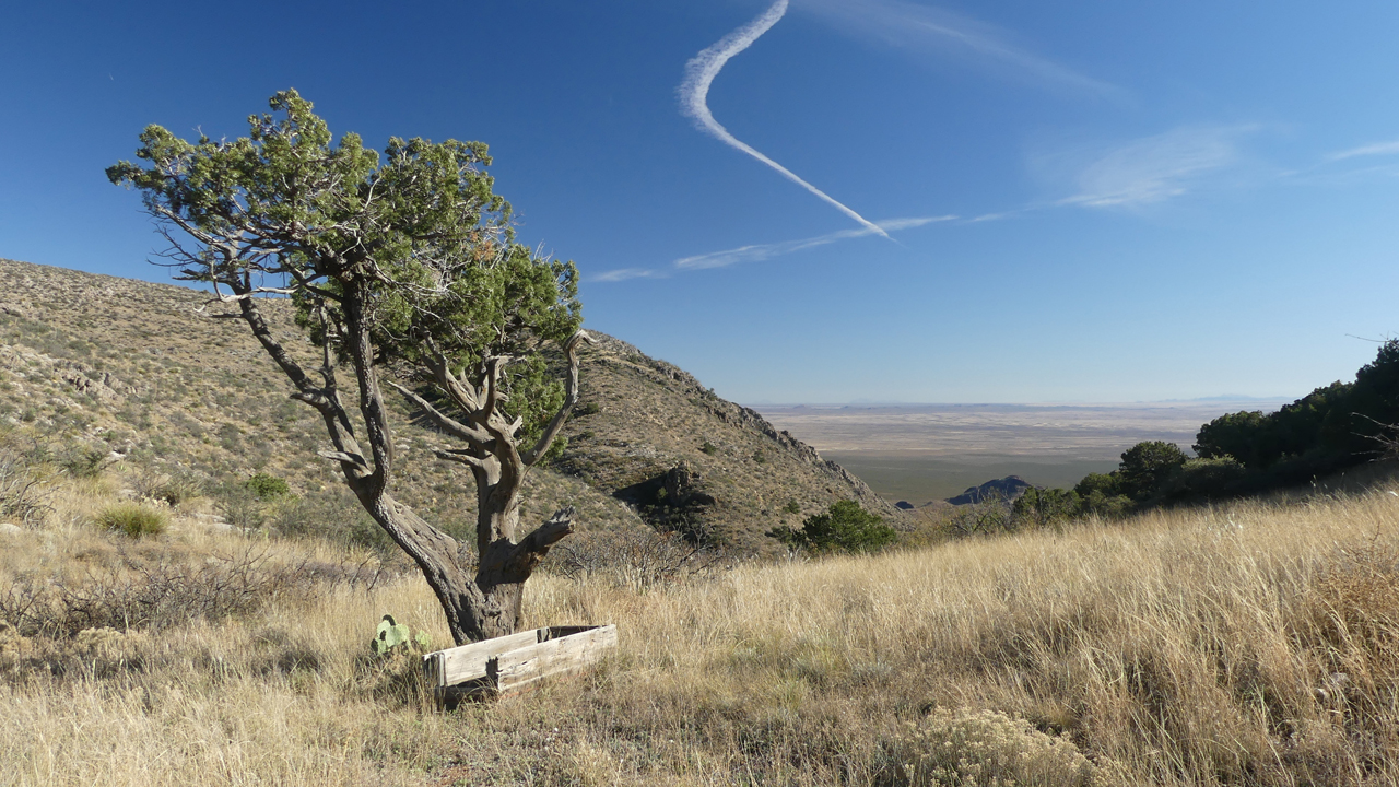
Setting sun lighting up the frozen vegetation at the top of the ridge.
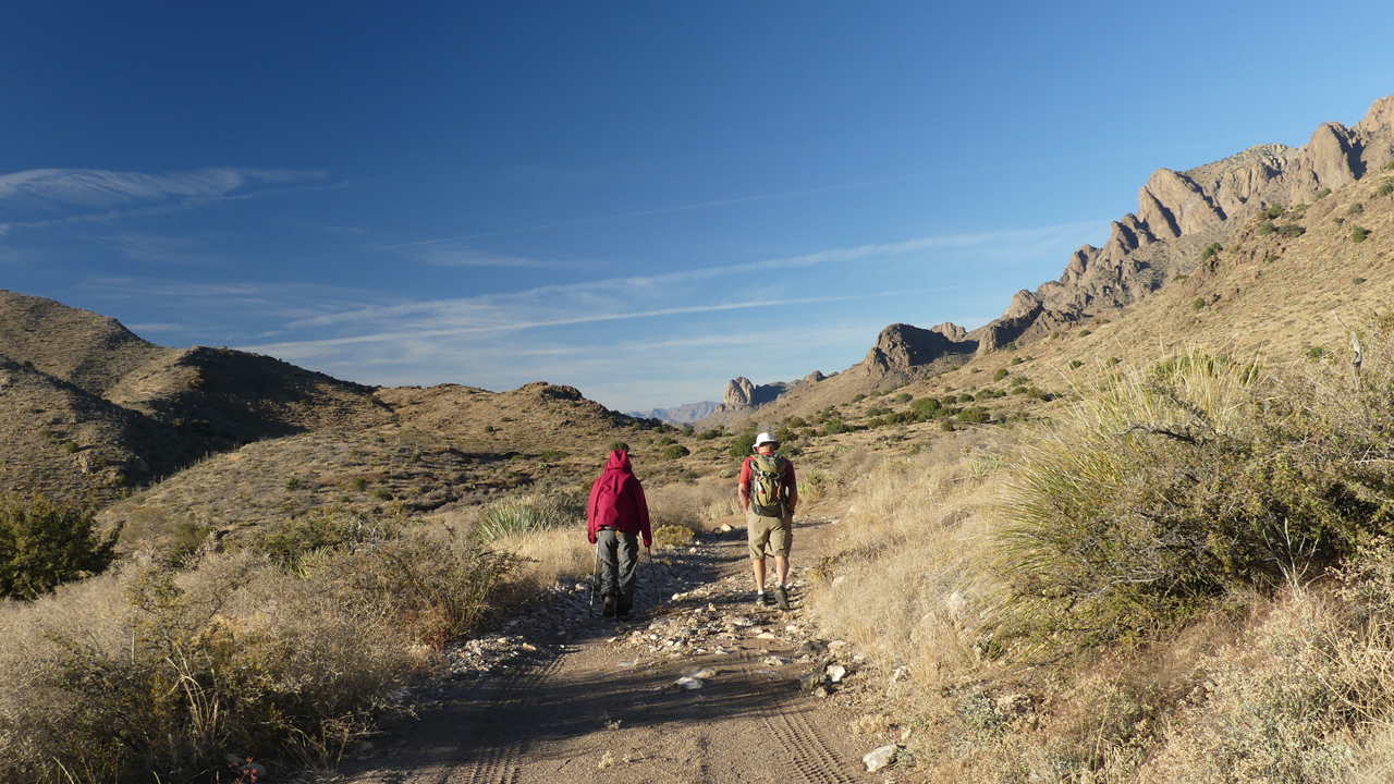
David and Rogil heading back to camp.
Shower night!!! The shower tent is a beast to set up, but the hot water sure felt good!
Monday morning we continued around the north end of the range to Spring Canyon State Park.
"Lovers Leap" turned out to be a short and steep trail with splendid views.
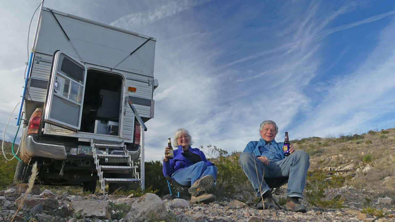
That afternoon we made our way farther south along a two-rut track to Tres Lomitas on the east side of the range. We found an adit, the remains of an unnamed mining camp and one very lethargic rattlesnake just north of Victorio Canyon. Time to put out the chairs and enjoy a beer.
Our campsite was near the mine and very, very far from anywhere else.
Tuesday's target was the Atir Mine in Lobo Canyon. Rogil and Dennis found what looked like mano metates in the rock just above a steep-sided wash.
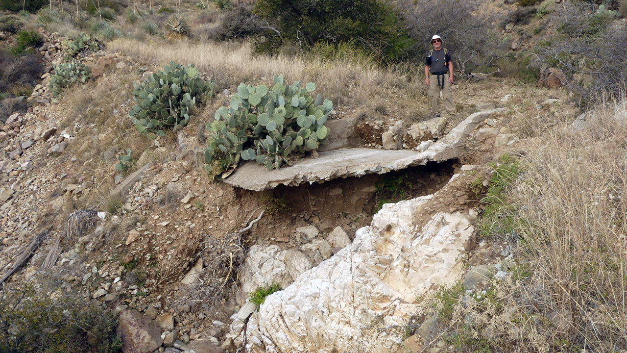
David checks out a collapsed bridge across the canyon.
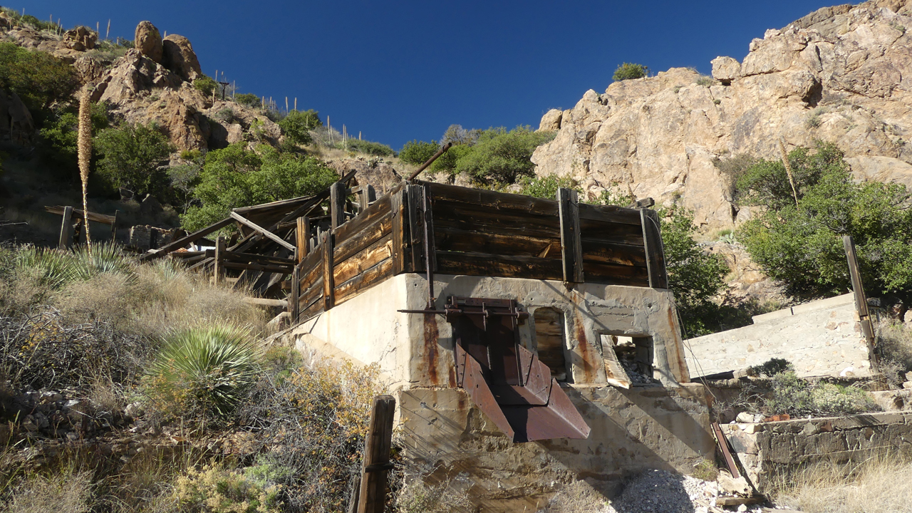
There's lots of evidence here of an old mining operation. The date on the foundation was 1942.
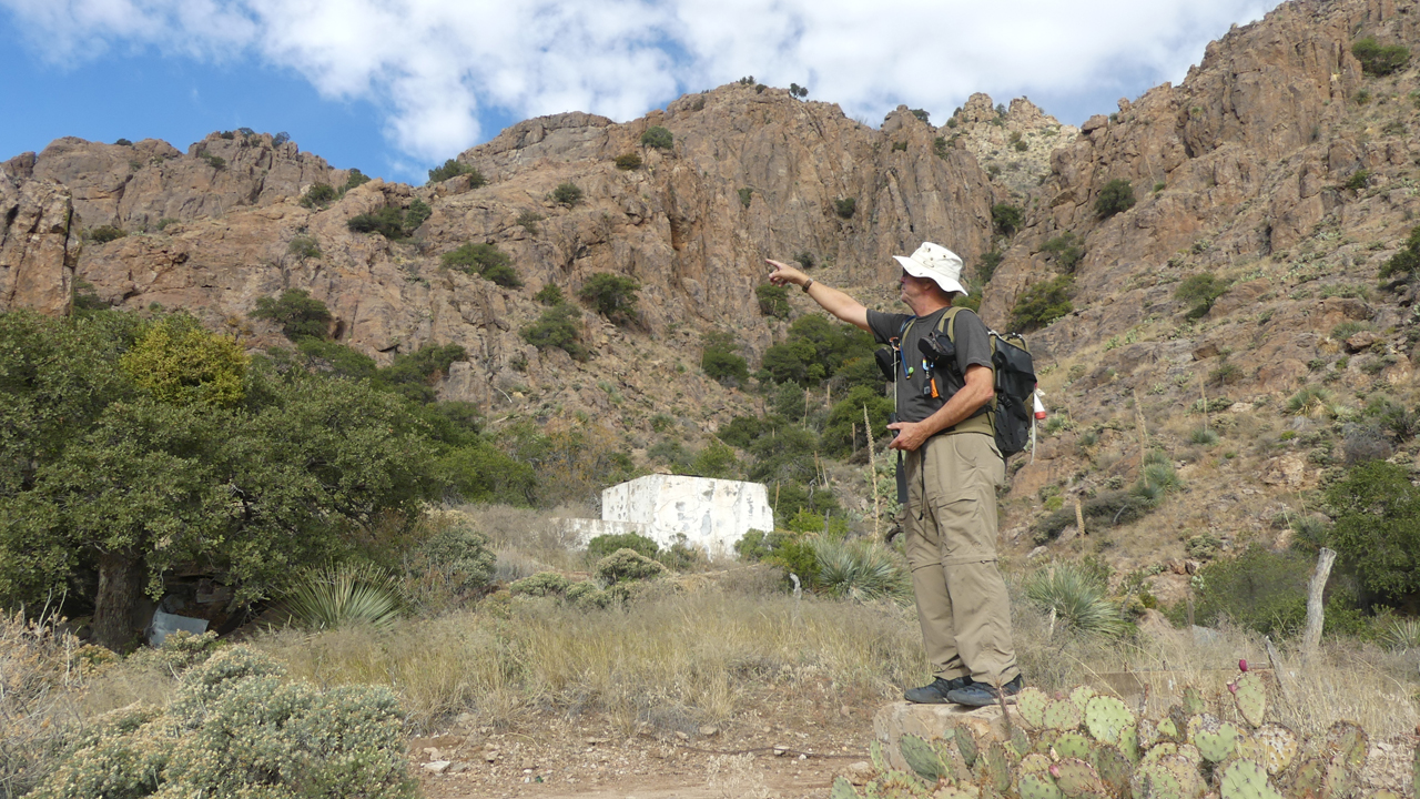
David describing how an aerial tramway was used to transport the ore from the mountain to the mill.
A bit of research revealed a history that is not at all what I expected. From Luna Explorer, March 11, 2006:
Waddel Prospect/Atir mine, located right in the midst of Ibex country on the eastern side of the range. The Atir mine was first prospected in 1910, this resulted in a 90' adit that produced minimal results. The prospect of a big pay off, kept luring miners back to Atir over the years, however no production or tonnage extracted from the mine was ever recorded. In 1980, The Barite Corporation of America bought the holdings and using modern equipment drove a 775' long adit to intersect the elusive vein, but did not find enough ore to produce. This project known as The Waddell Prospect did discover a vein that consists primarily of barite and fluorite, the ore proved to be low grade and did not warrant further prospecting. Over the years the mine became known as a white elephant, which only added to its legend, making it the best known prospect mine in the Florida Mining District.
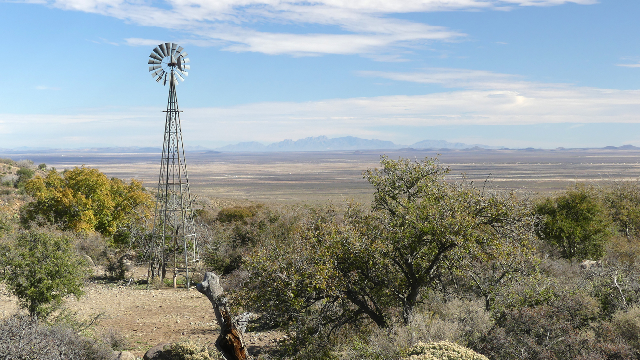
From English Well, looking east toward the Organ Mountains.
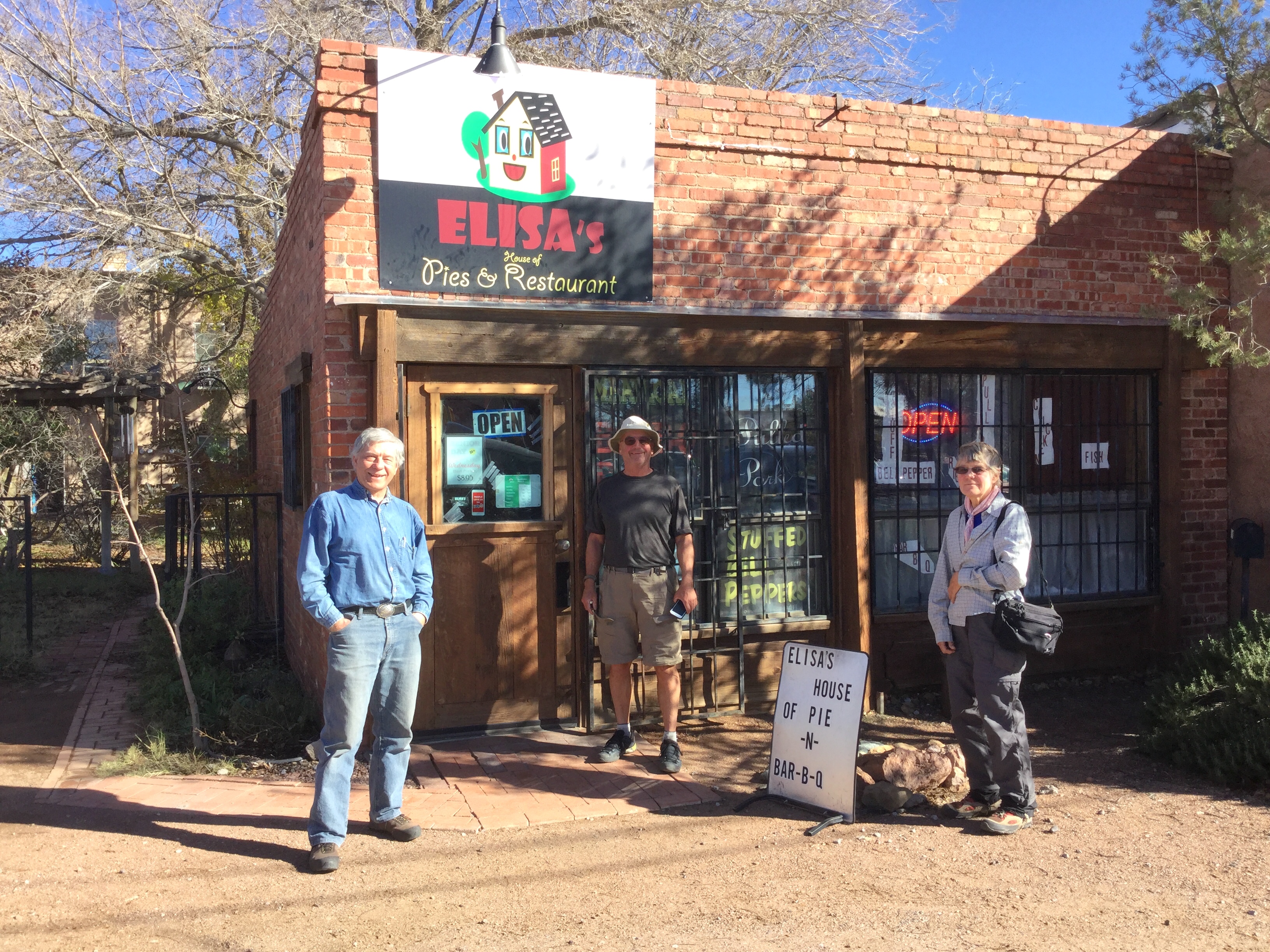
We made it to Elisa's House of Pies in time for lunch! The family that runs the place is so friendly and they serve simple, home-cooked Southern-style food.
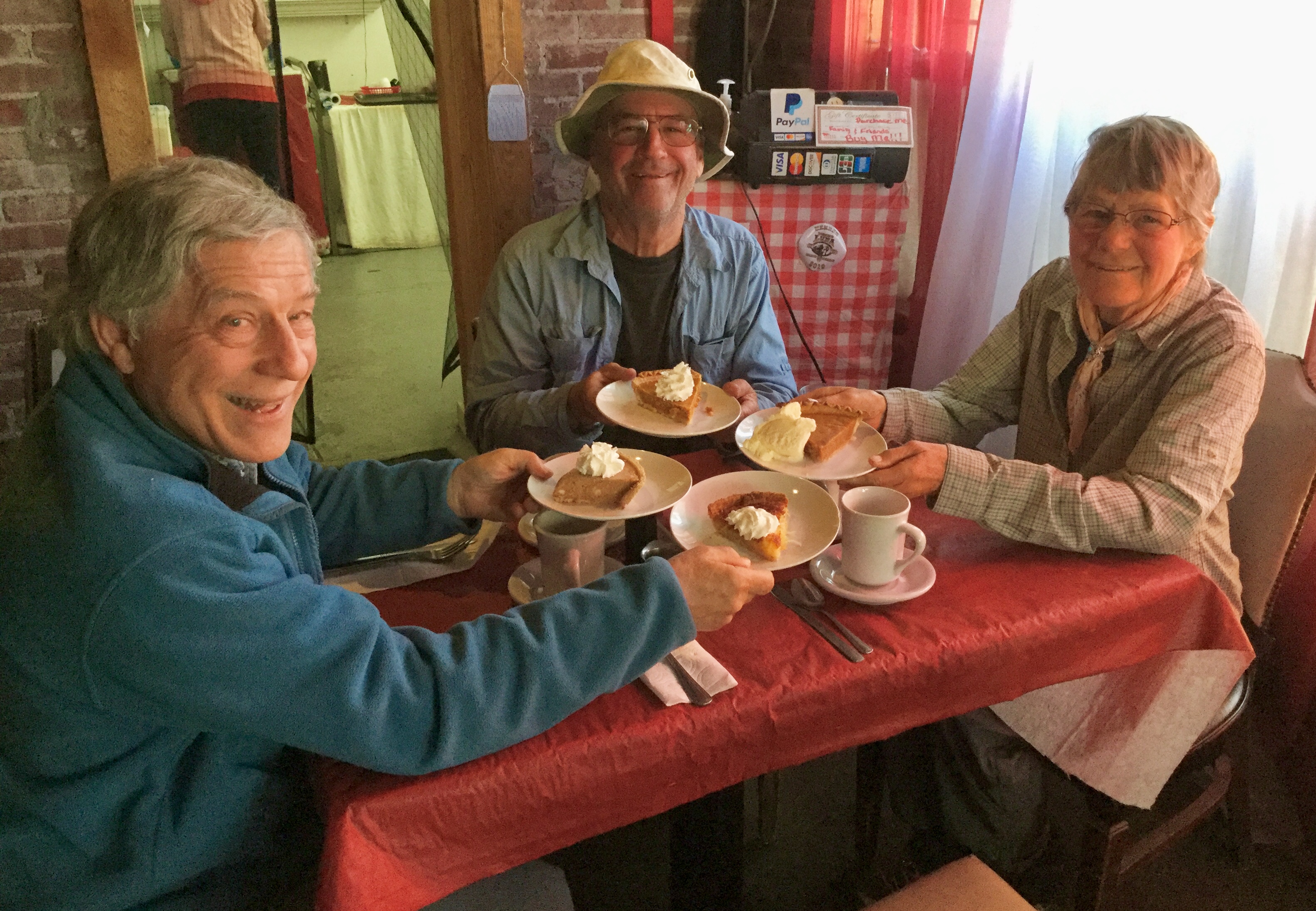
But Elisa's pies, oh my!
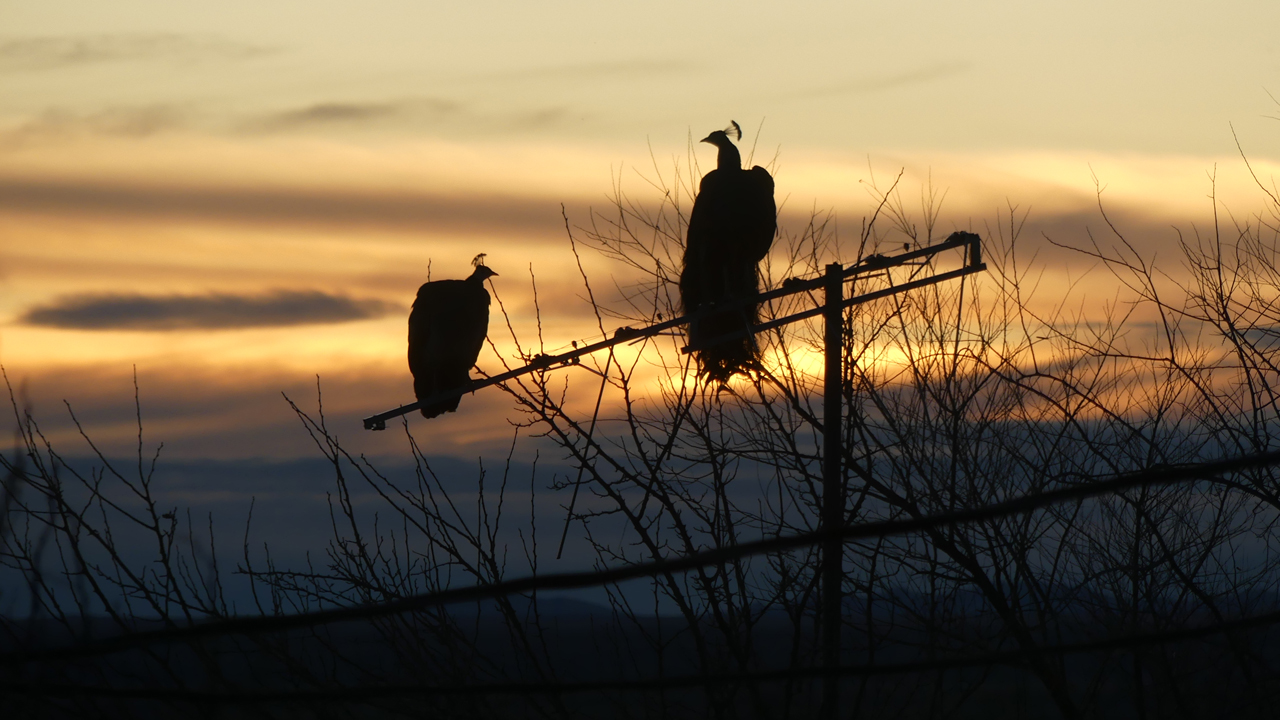
One last night at Faywood to relax and clean up. Peacocks in the sunset. A perfect winter trip!