Carr Peak
October 30, 2005
"Hiking Arizona's Cactus Country" describes the Carr Peak trail as one the shortest routes to a +9000-foot peak in southern Arizona. But it doesn't say how pretty it is, both for the hike and for the drive to the trailhead.
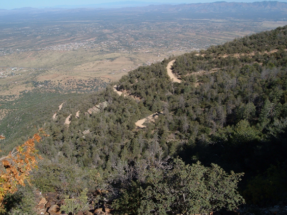
The access road is well-signed and takes off about eight miles south of Fort Huachuca. From there it's 6.5 hairpin miles to an old mining area situated +7000 high in the Huachuca Mountains.
There are TWO trailheads -- one at 6.5 miles across from the Reef Town Site campground, and a much larger parking area about another mile up the canyon. The first trail is 3 miles to the summit and the latter is shorter by 1/4 mile.
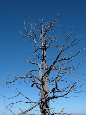
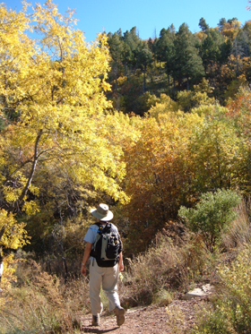
This area was heavily burned in 1977. Having just recovered from a disappointing hike to Romero Pass, which succumbed to the 2003 Aspen Fire, we were curious to see what a difference another 20 years would make.
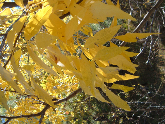
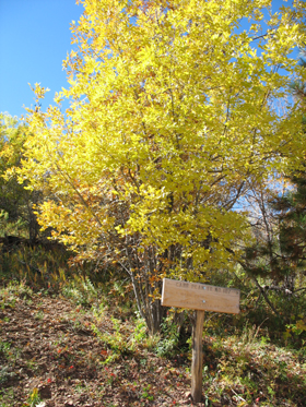
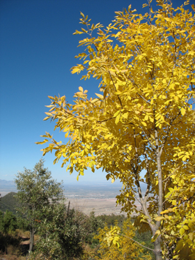
Skeletons of the blackened conifer forest remain, but they have been joined by a vigorous new generation of aspens, and on this glorious fall day their leaves filled the air with color and sound.
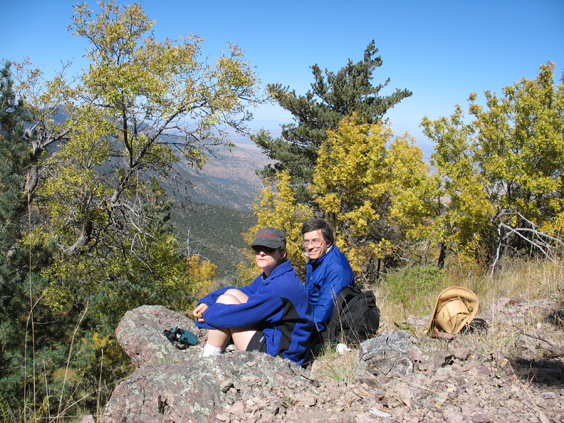
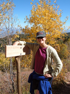
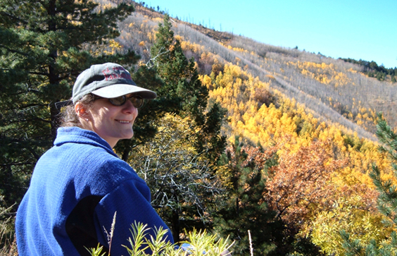
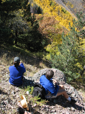
Jamie and Dennis, on the lunch rocks overlooking Ramsay Canyon.
It's 2.75 miles and 2-1/2 hours to just below the summit. From .3 miles below the summit, there's a 3.1-mile-long trail that follows the ridge to the spur trail to Miller Peak. Then it's 4.8 miles downhill to Montezuma Pass. At about 10-1/2 miles total, this could be a good overnighter for us.