While we wait for the monsoon, I am continuing to pursue my mental health preservation plan, this time
with a few days near Big Lake, on the roof of Arizona.
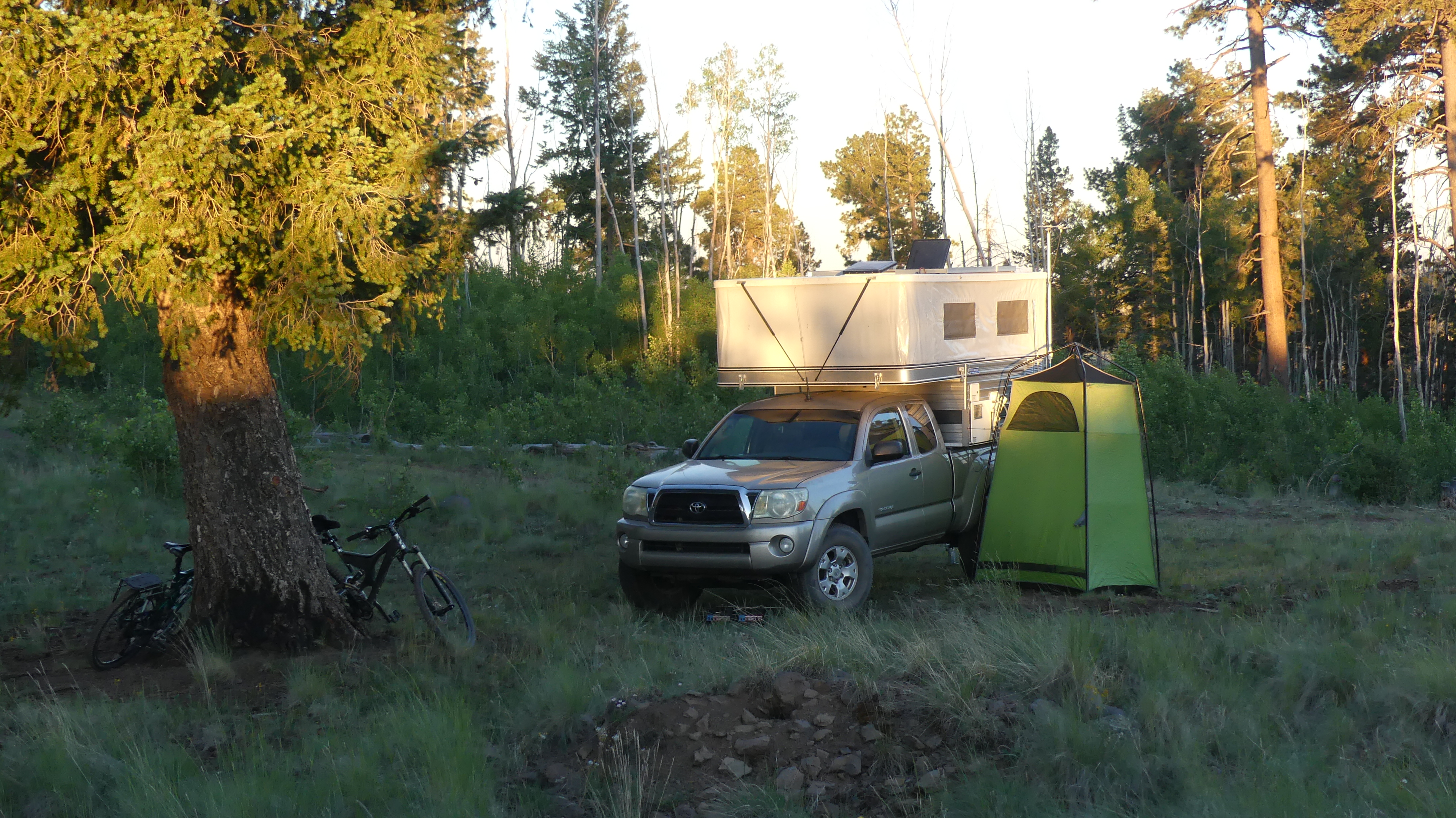
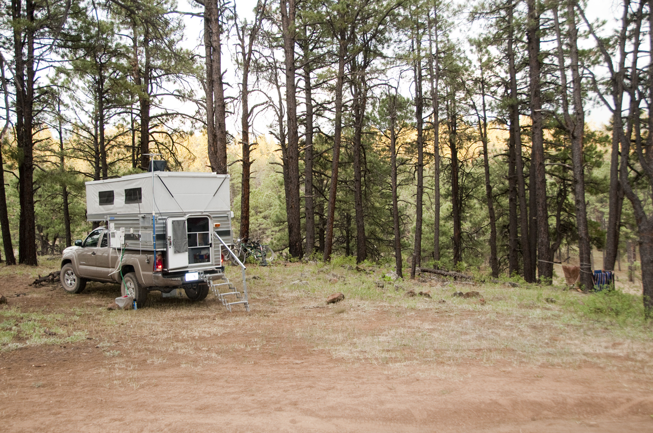
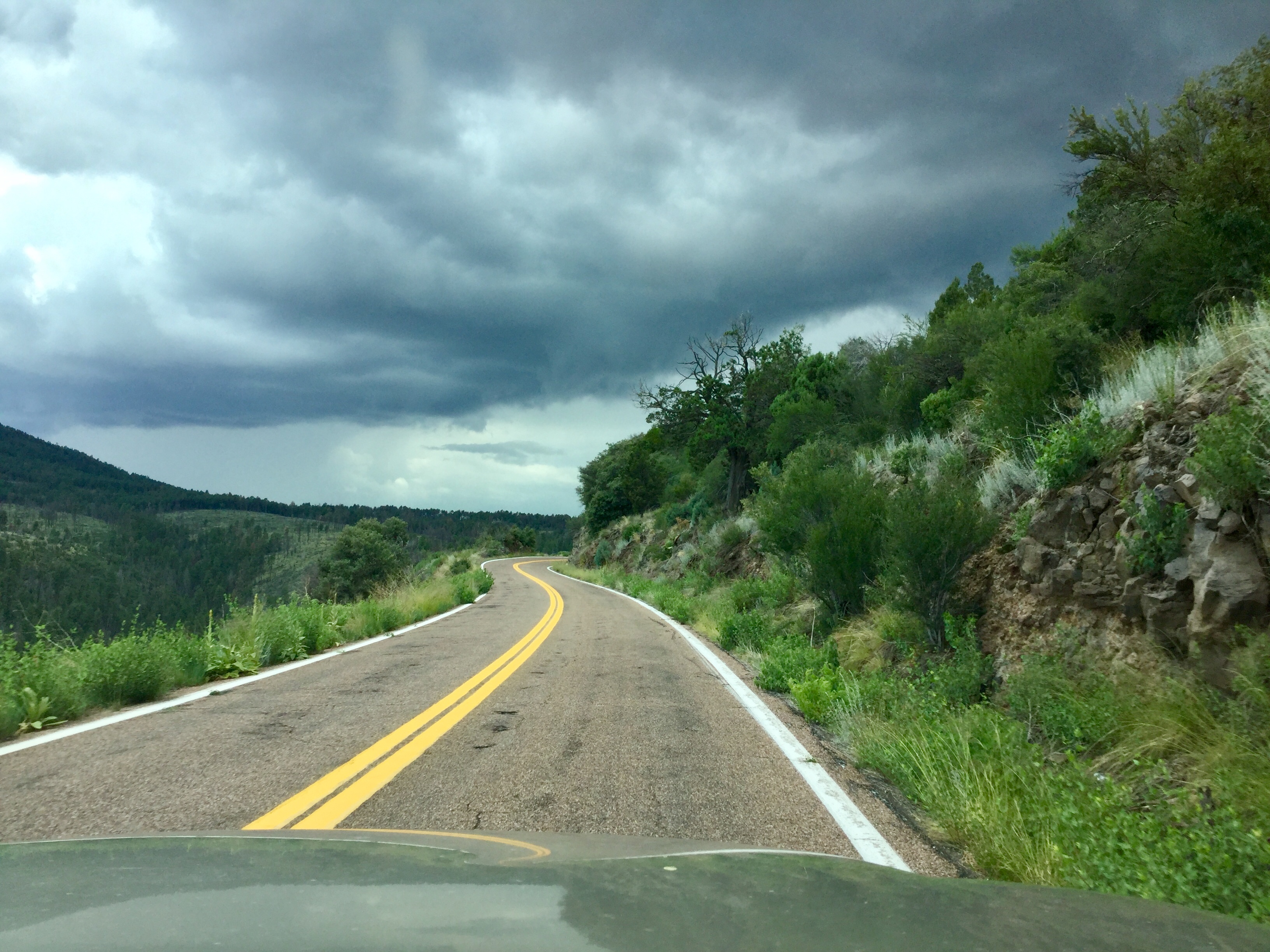
A few hours on the road took us to an isolated
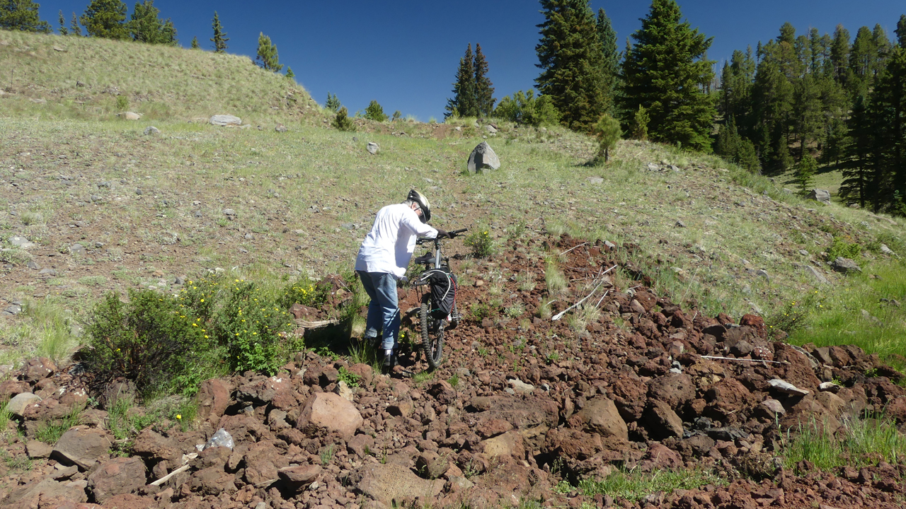
camping spot northwest of Big Lake at over 9500 feet in elevation. Sweater weather!The Apache Railroad Trail has been on my hit
list for years. The railroad was built to haul logs to the sawmill in McNary. From 1964 to 1976
White Mountain Scenic Railroad operated steam-powered passenger excursions from McNary to Maverick.
It was converted to a 19-mile-long multi-use recreational trail in 1998 with a grant from ADOT.
Unfortunately, it appears that it was
subsequently abandoned. The trail is badly overgrown and rather difficult to follow. But neglect
pales in comparison to the fateful decision to cover the path with a deep layer of cinders. Think
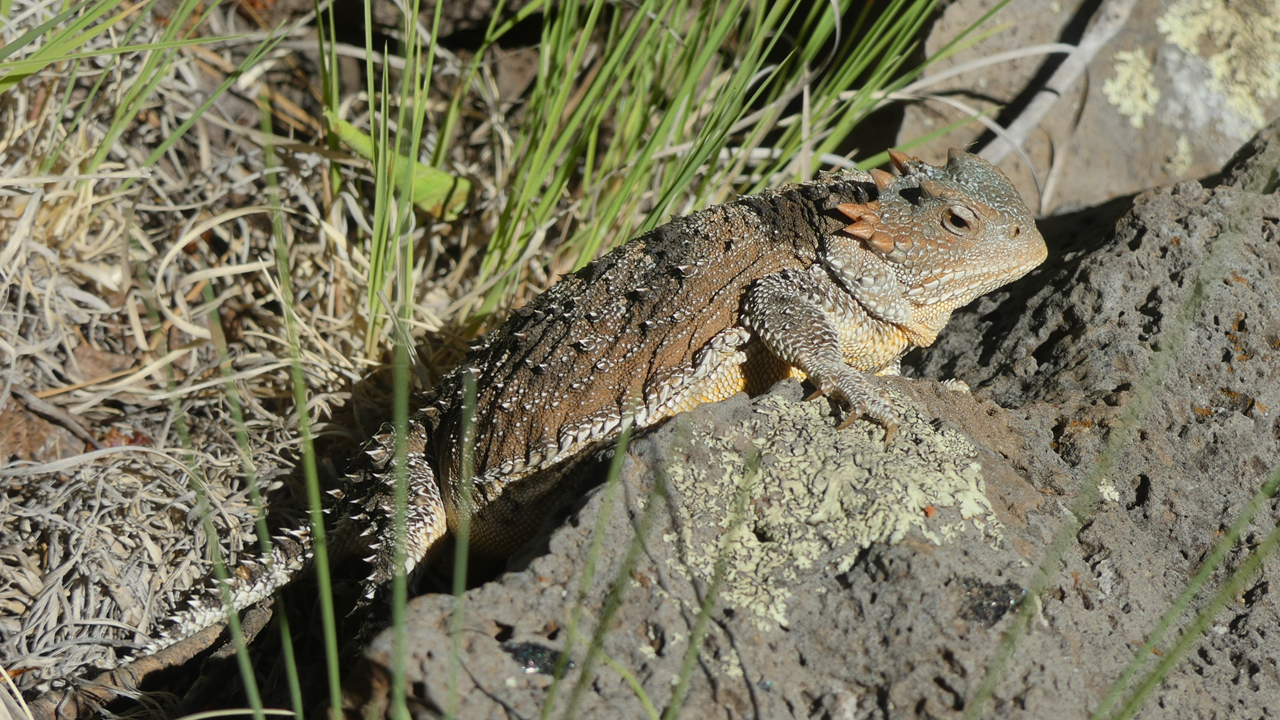
pedaling on six inches of ball bearings! Along the trail we came across the largest
horned lizard we had ever seen!
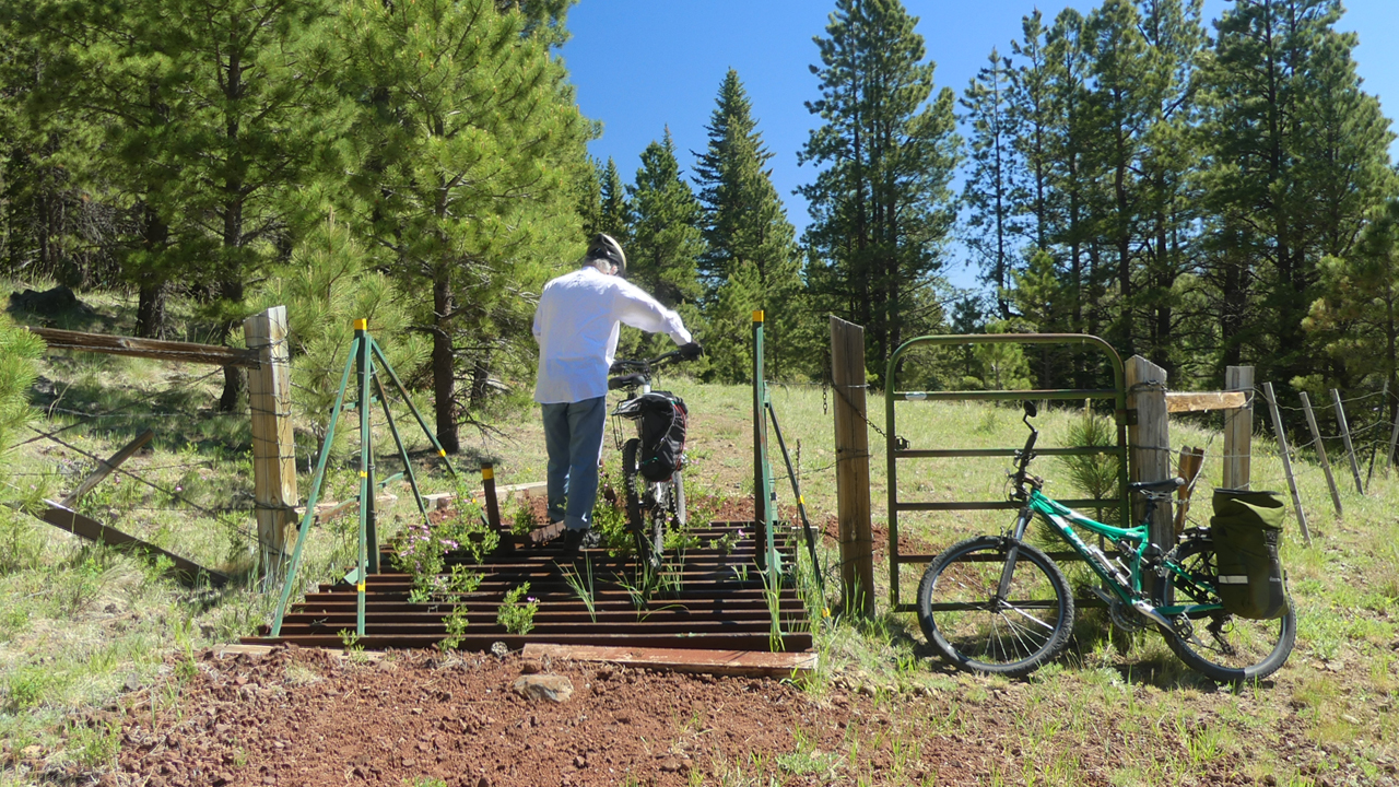
That said, the views are extraordinary, and there are some good runs on sections where the cinders have begun to wash off.
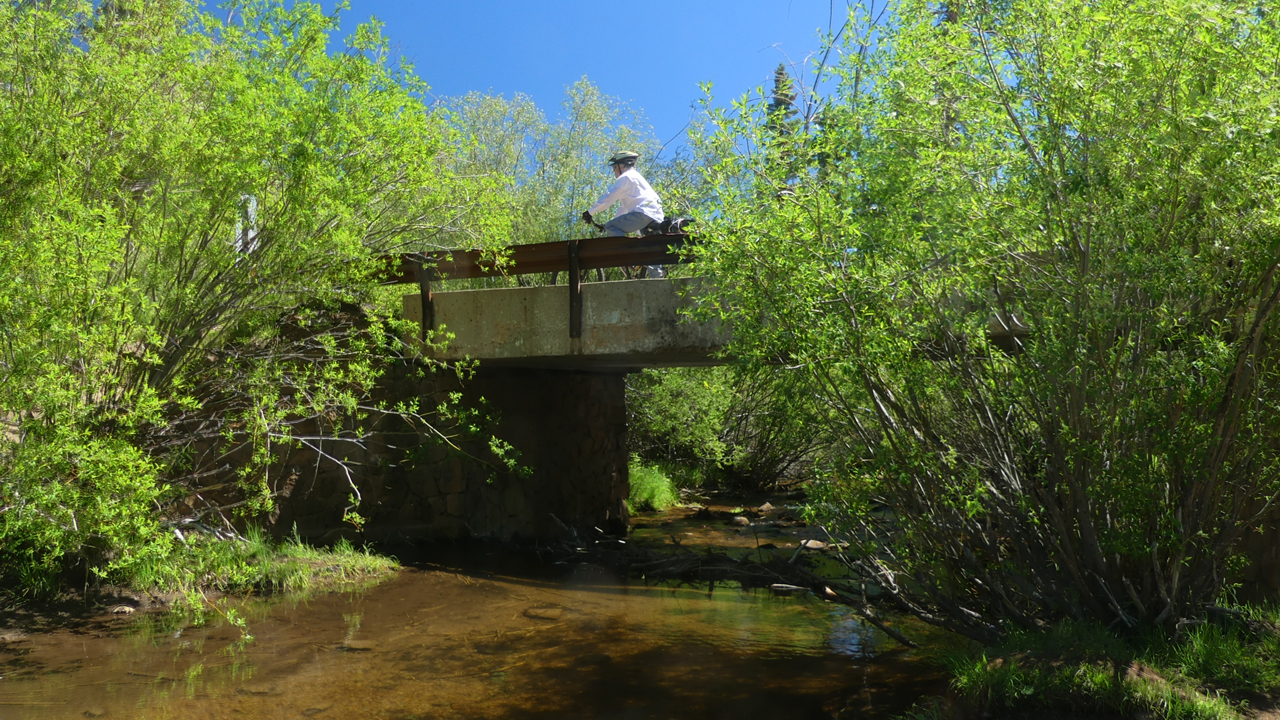
Crossing the Little Colorado River.
The best run by far was the descent to White Mountain Reservoir.
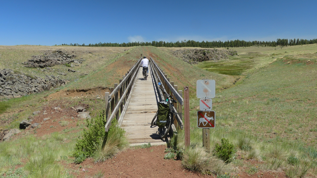
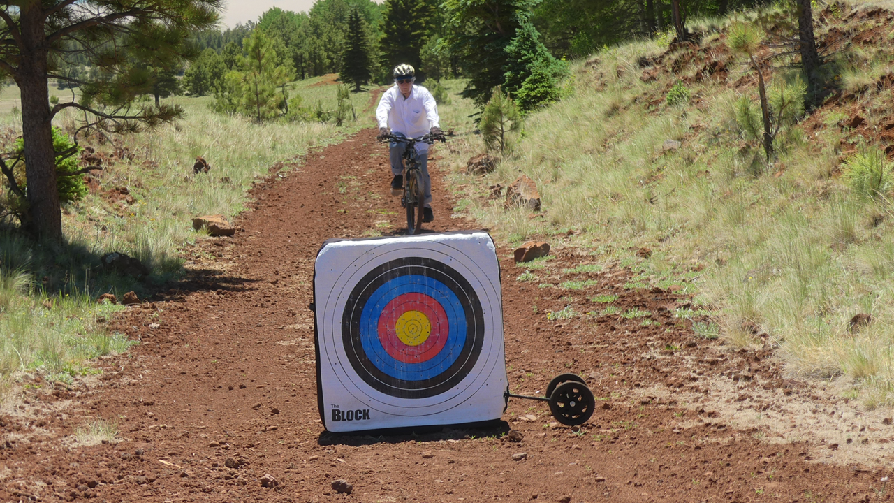
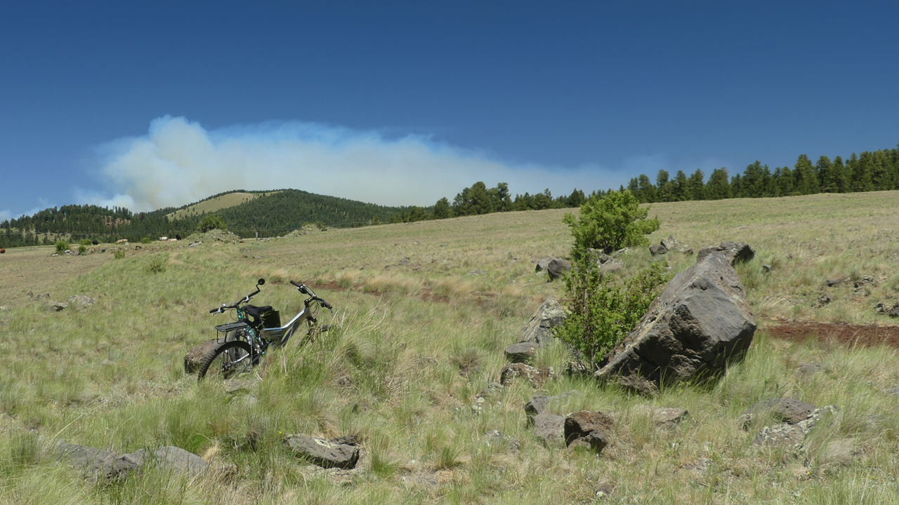
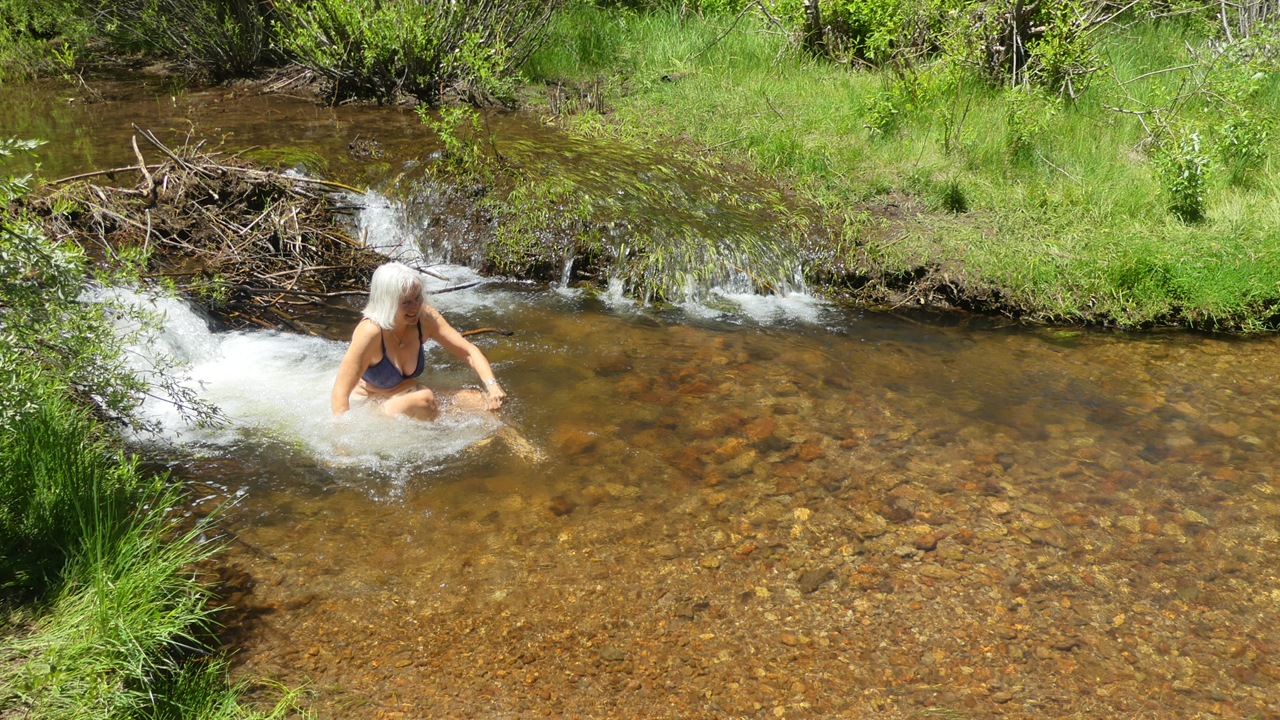
The famous trestle. The sign says there are lots of rotten and broken boards, so “use at your own risk,” I guess until the bridge collapses. I doubt there are any plans to repair it.Nothing says "welcome cyclists" like a target — and a stray arrow or two — on the bike path.The Whiting Knoll fire blew up while we were eating lunch. A quick dip at a lovely spot on the Little Colorado River.The next day we thought we'd relax with a hike along the Thompson Trail,
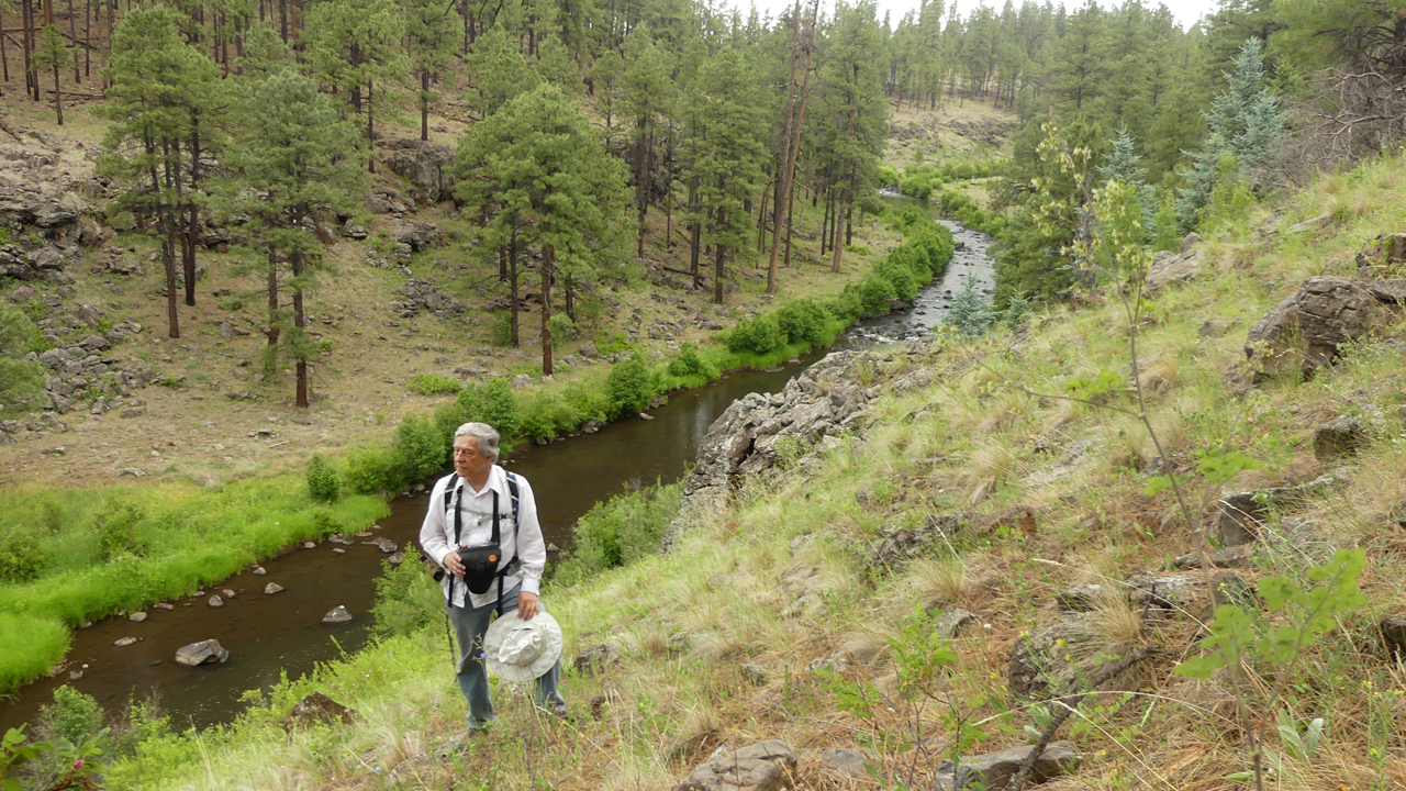
which runs along the west fork of the Black River. But soon after we packed up and headed out, we
were startled by swarms of bees or wasps dive-bombing our truck every time we came to a stop. We slowly realized
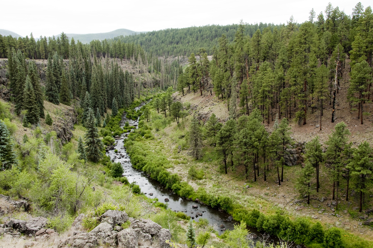
that they must have taken up residence somewhere underneath the vehicle.It took all day to outrun the yellow jackets (stop, let them swarm, accelerate like hell, repeat). So we drove. And drove. And drove. South of Big Lake, where the hills were covered in blackened toothpicks. And on to the Black River, mostly unscathed, and so lush it was hard to believe we were still in Arizona. We found a nice campsite overlooking the East Fork Black River.The next day we explored south along the Black River.
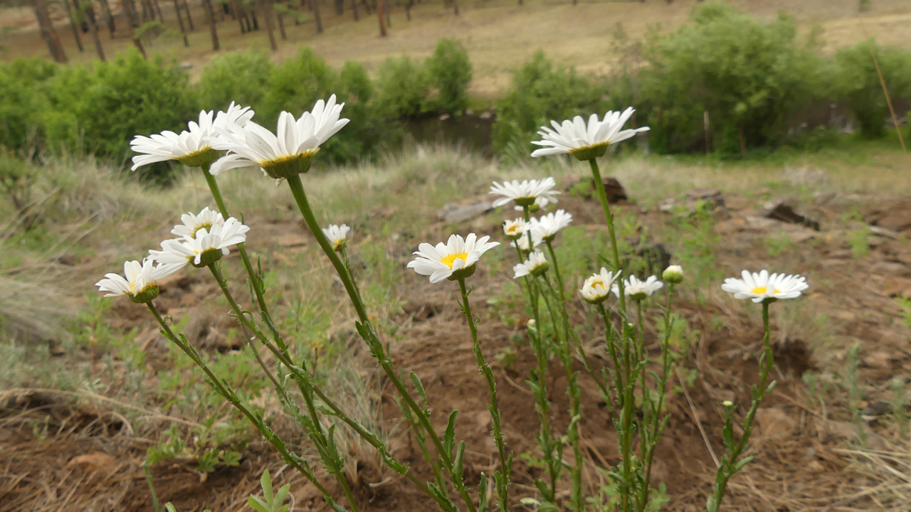
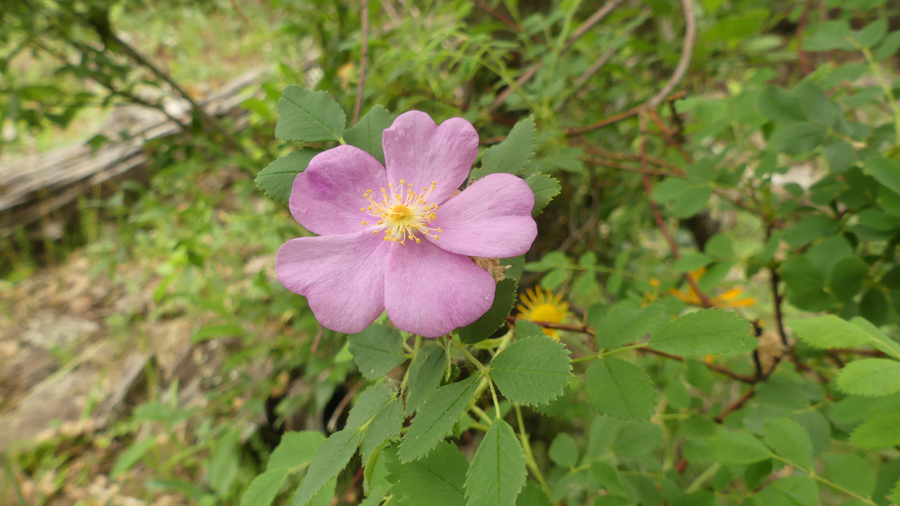
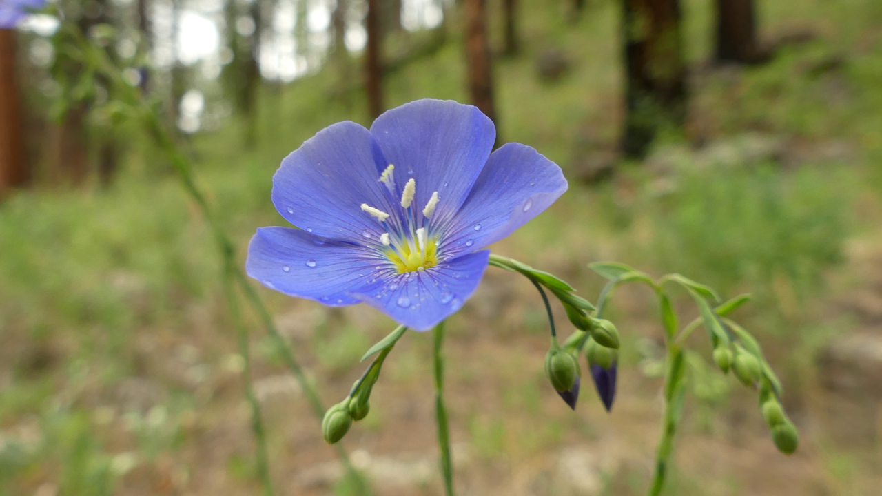
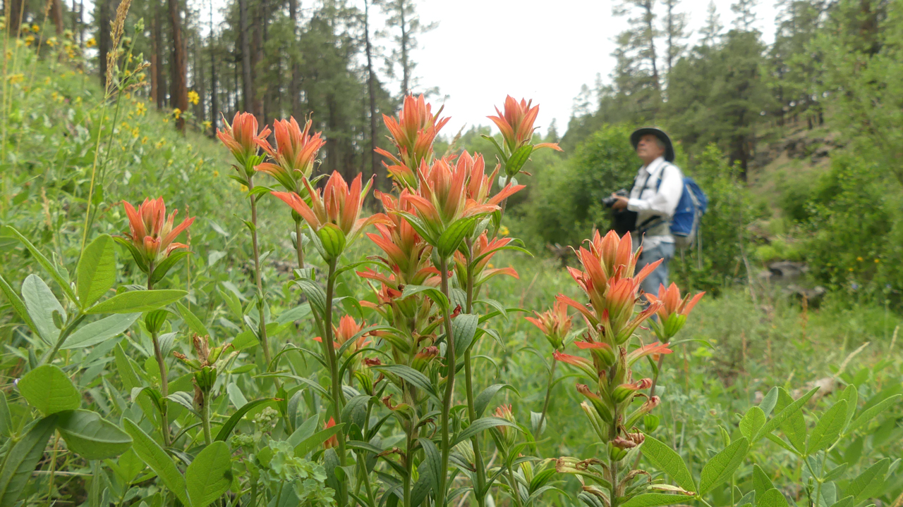
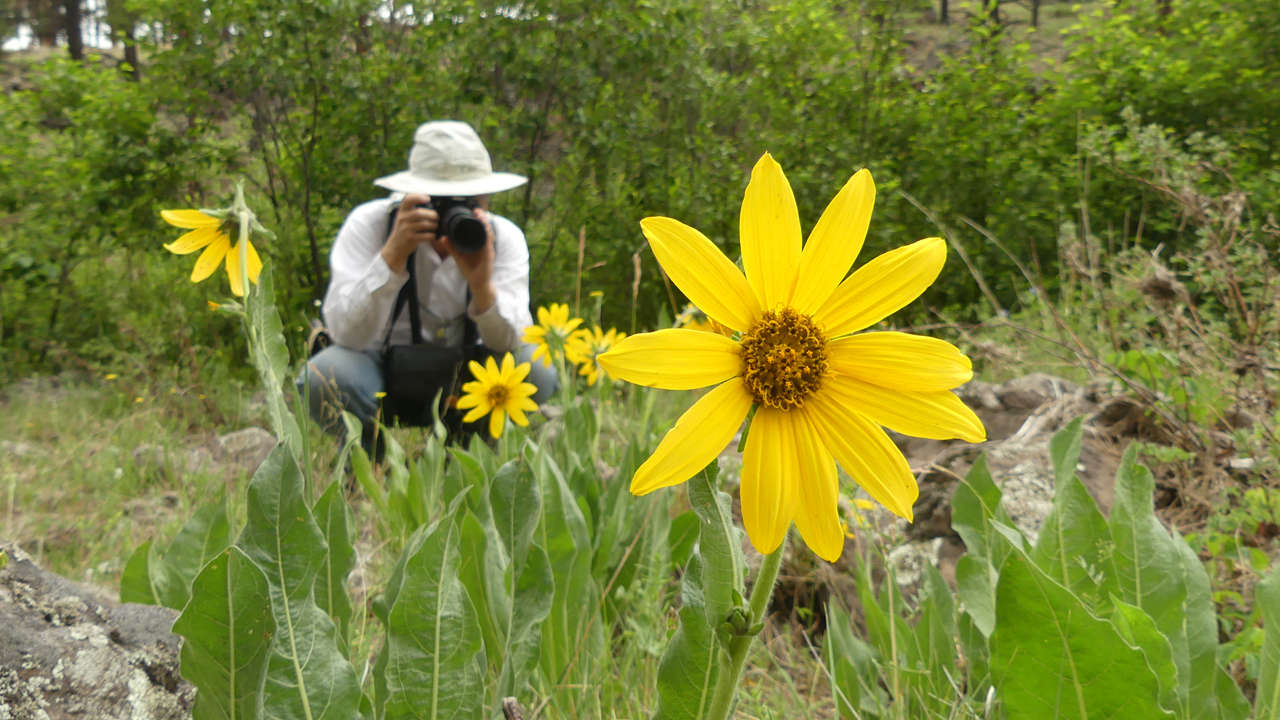
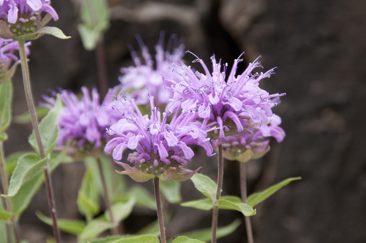
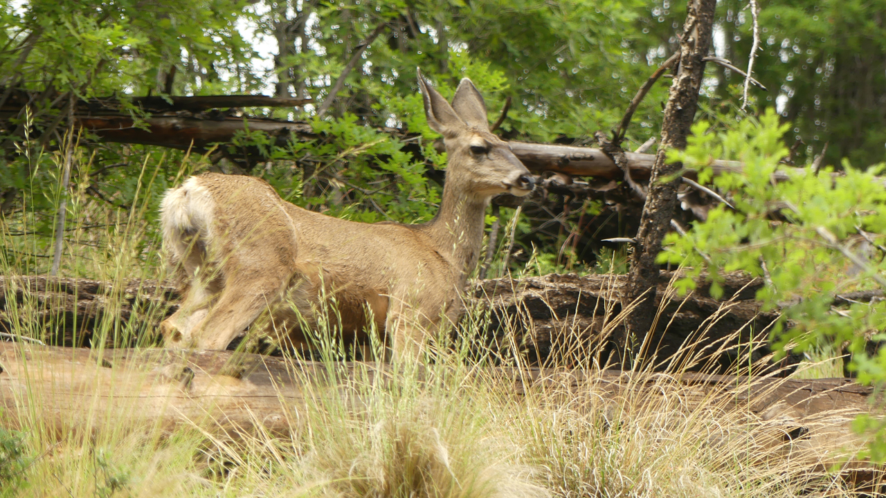
There were rampant wildflowers everywhere, including lots of rosa rugosa.Blue flax.Indian paintbrush.Arrowleaf balsamroot.Wild bergamot.Below the confluence of the East and West Fork Black River.When the underbrush became impassable we scrambled up to the top of an enormous grassy mesa. Not a soul in sight.There were lots of deer around ...
... and finally a couple of elk. I love how they hold their heads so high when they run!
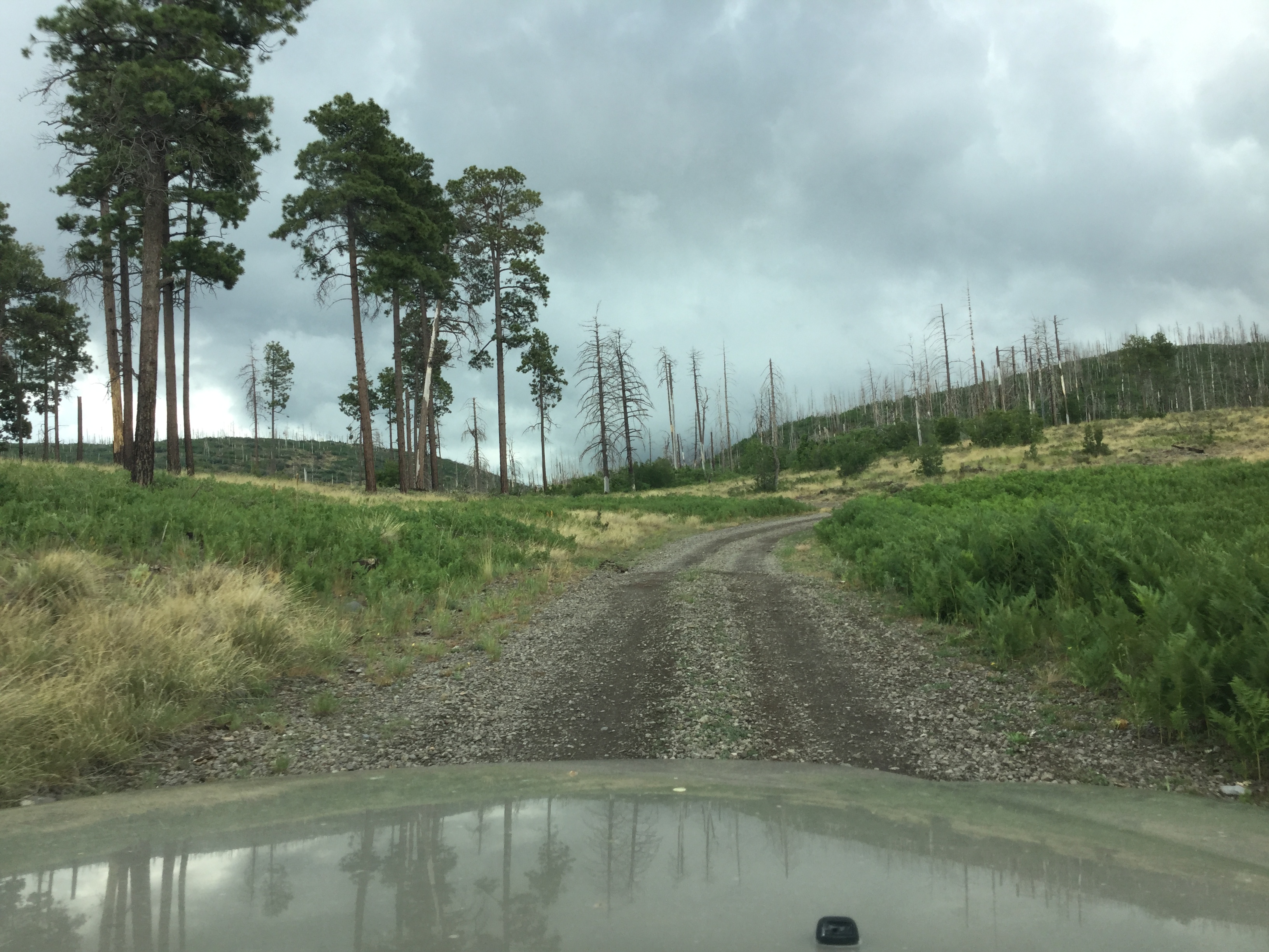
It poured all night long, so the next day we packed up and headed out via FS 24, a narrow mountain road
that wraps around the highest ridges of an area scorched the Wallow Fire of 2011. The scenery was dramatic, to say the least.
85720" src="https://www.desertlavender.com/northern-arizona/mogollon-rim/IMG_7894.JPG"/>Just look at that odometer reading, telling us the way home was via the infamous Route 666 (now US 191 aka The Coronado Trail).As usual, this most beautiful Arizona mountain road was virtually deserted, and we cruised home to Tucson a day early, still anxiously waiting
for long-delayed order of monsoon precipitation!