Last summer on our way to observe the eclipse, we ended up a day ahead of schedule and decided to explore Dinosaur National Monument.
We spent two glorious days exploring both sides of the park, camping at Echo and Rainbow Park, and hiking out to the Island Park overlook. And there we saw the rafts floating
lazily down the Green River. When a fellow Tucson Backpacker posted a float trip to Dinosaur National Monument, we signed up immediately.
Since there is nothing but glorious scenery between Tucson and northern Utah, we decided to drive, avoiding major highways as usual and camping on National Forest and
BLM land.
It's been a tough summer in Tucson. All across the West, there are raging forest fires and record-breaking heat. Our monsoon, which brings life-preserving moisture and some
relief from the scorching temperatures, arrived late and has performed poorly so far. We were anxious to escape to cooler northern climes. But first we had to pass through
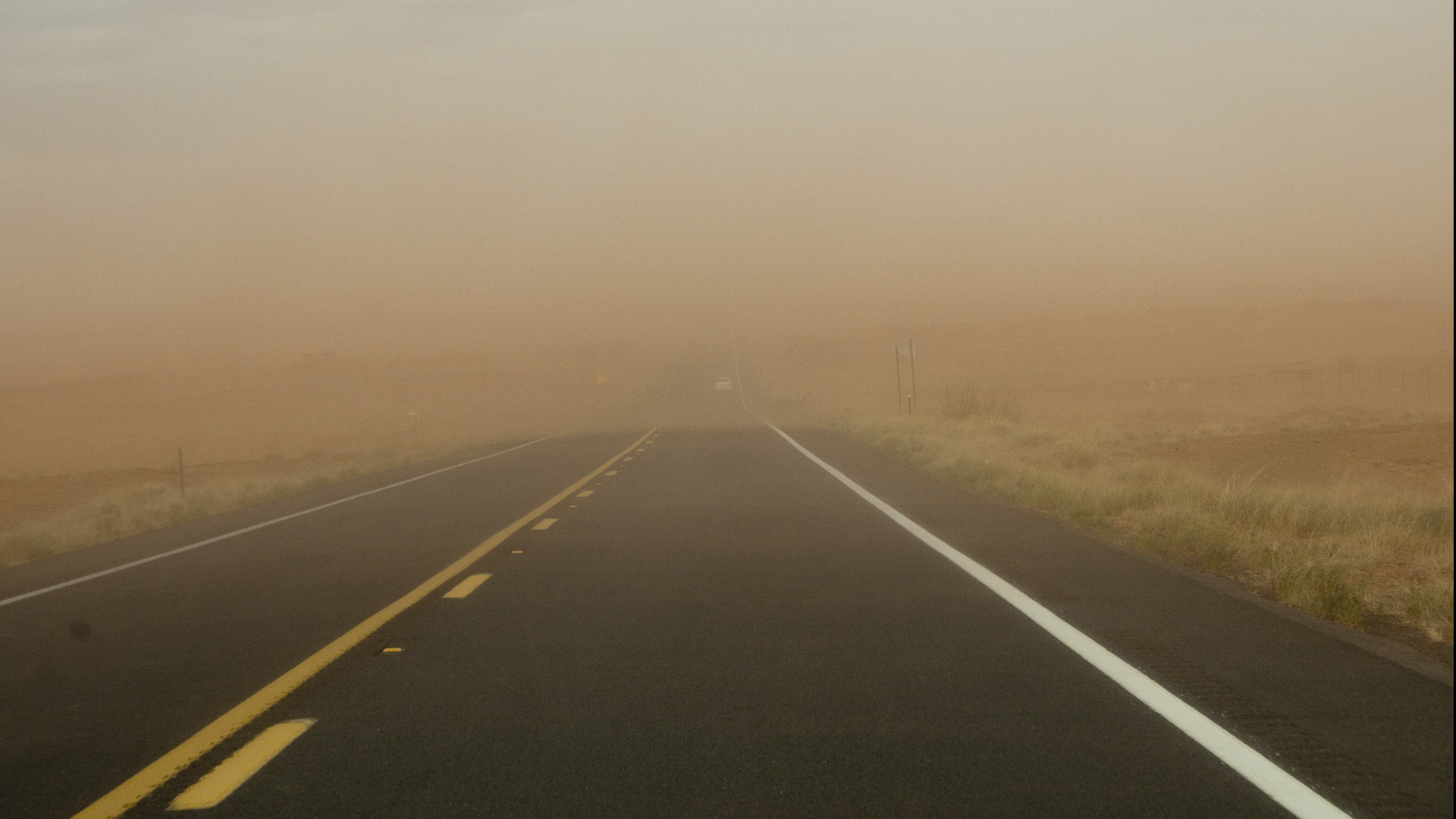
a total "red out" — a blinding dust storm on the res near Tuba City.At Navajo National Monument, we enjoyed a delightfully chilly evening and a hike
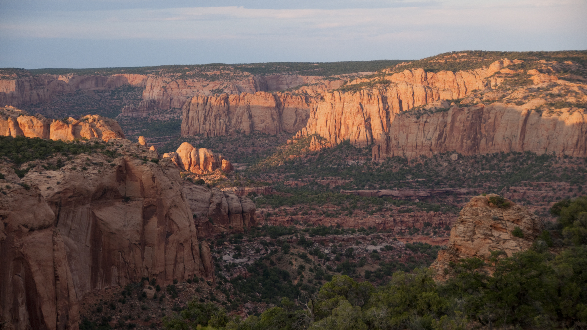
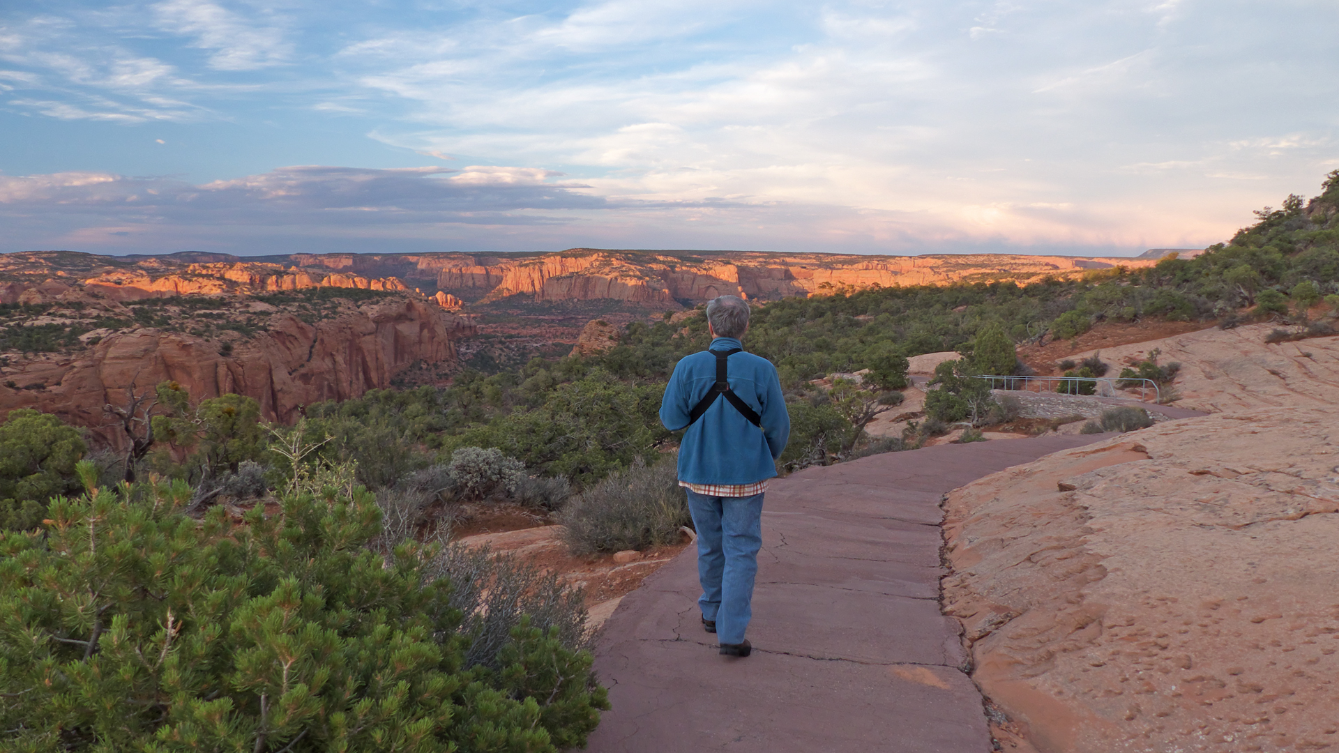
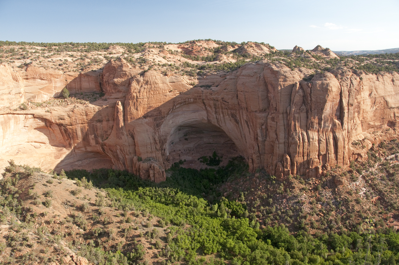
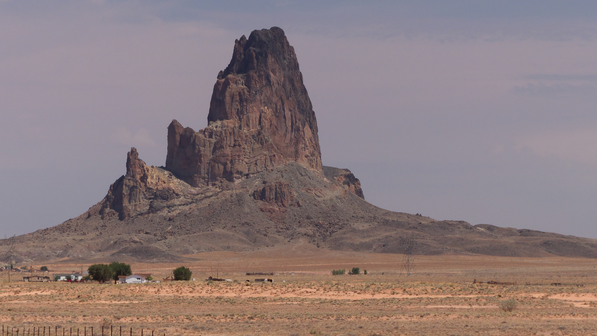
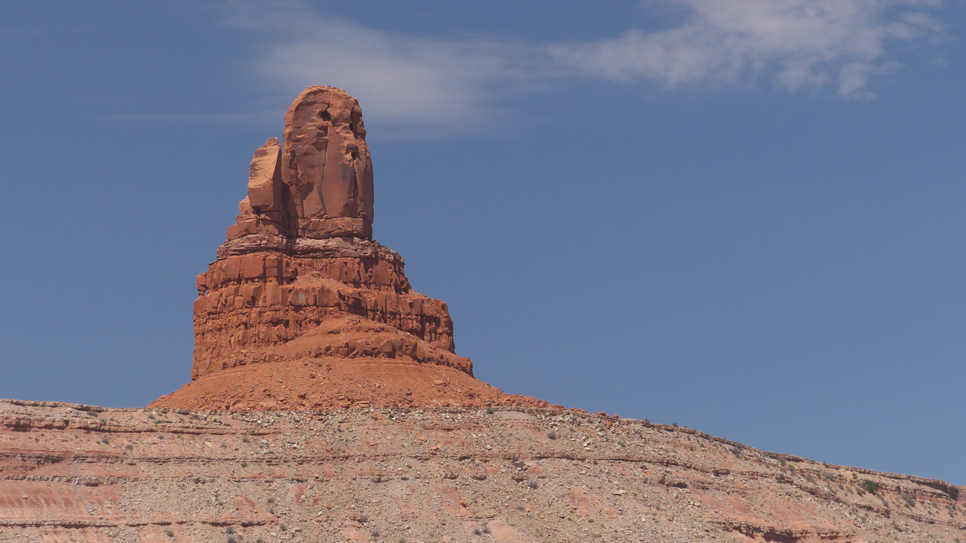
to the overlook of Betatakin Cliff Dwellings, returning via the Canyon View Trail.Navajo National Monument is also the starting point for guided hikes to Betatakin and Keet Seel.Betatakin was built in an enormous alcove in the mid-13th century. About 80 rooms remain of the original village of approximately 120 rooms.North of Kayenta there are some fantastic rock formations, including Agathla Peak (also known as "El Capitan").But our favorite was Owl Rock.As we scampered up the Moki Dugway, a dirt road carved into the side of a cliff that climbs 1200 feet in three miles to the top of Cedar Mesa, I looked out over the Valley of the Gods and could not
help marveling that Interior Secretary Ryan Zinke recently declared that most of Bears Ears National Monument is "just high desert not worthy of preservation". I guess you could see it
that way. If you're a Cyborg or dead from the waist up.We rolled across Cedar Mesa wondering about all the side roads which surely provide access to more amazing canyons. We need to come back and spend at least two weeks just on Cedar Mesa! But on this
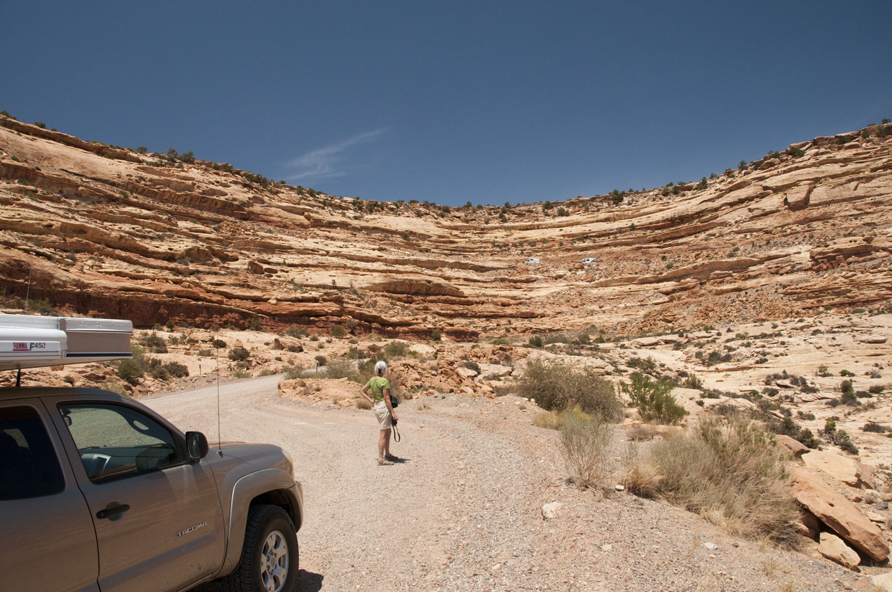
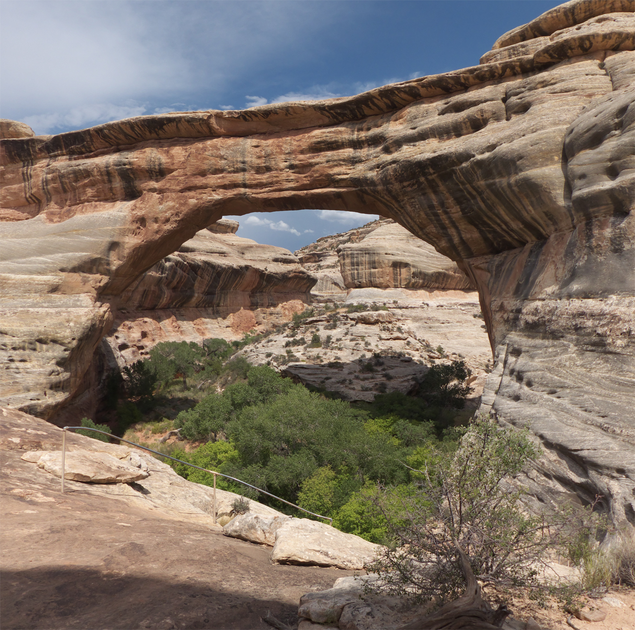
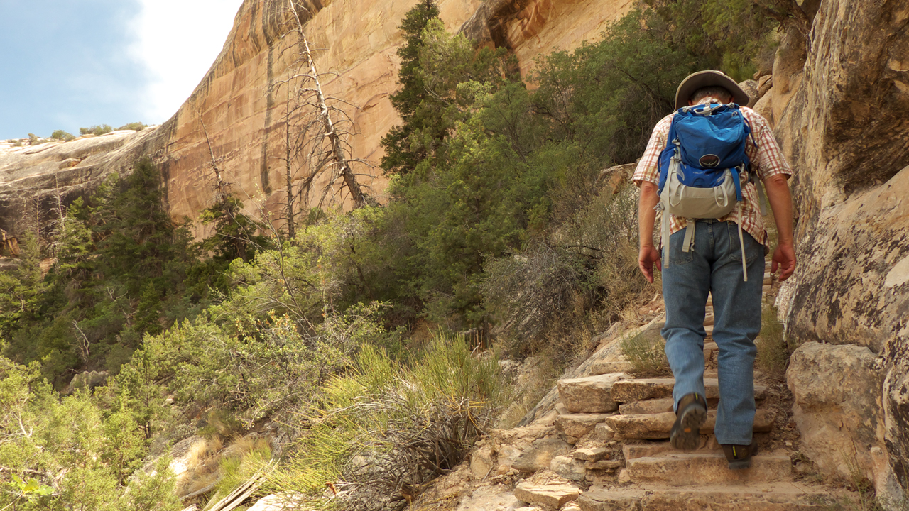
trip we only had time for one hike, and we fortunately chose Sipapu Bridge in Natural Bridges National Monument.I'd never heard of Natural Bridges NM before this trip. It's a hidden gem! For my money,
it's more spectacular and the trails are more interesting and less crowded than Arches National Park. Longer loop hikes are available linking the three major formations via White Canyon, which rises in the Abajo Mountains
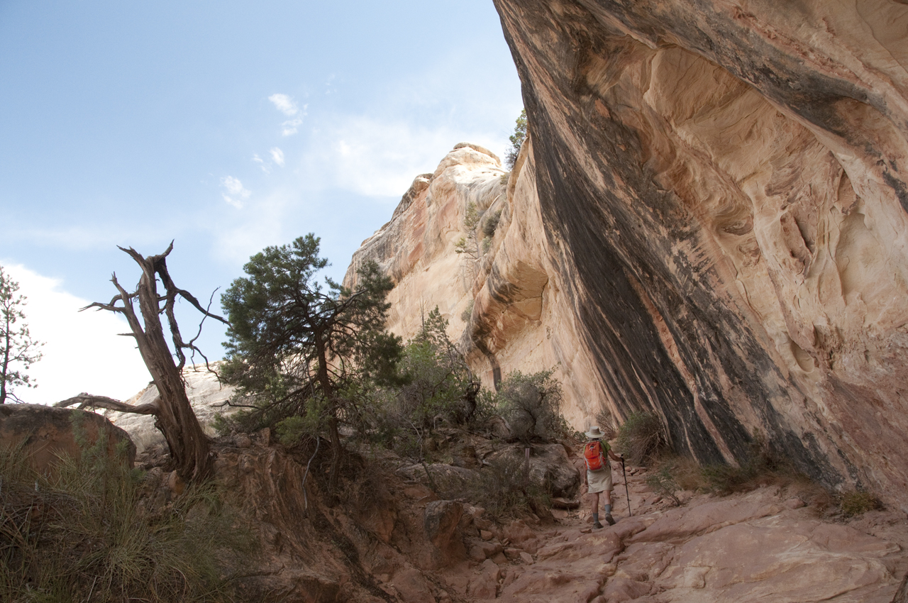
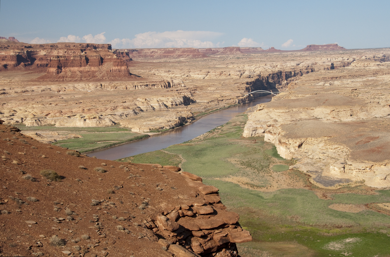
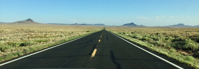
and winds for 45 scenic miles before emptying into the northern end of Lake Powell. Definitely gotta come back and spend more time here!The Sipapu Bridge Trail drops +400 feet into White Canyon via a series of wooden ladders, stone steps and switchbacks.From Natural Bridges we headed west via US 95, one of the most eerily beautiful stretches of road anywhere in the
Southwest. For hours, the road winds through burgundy canyons, with nary another car in sight. It wraps around the northern end of Lake Powell, where grassy
meadows
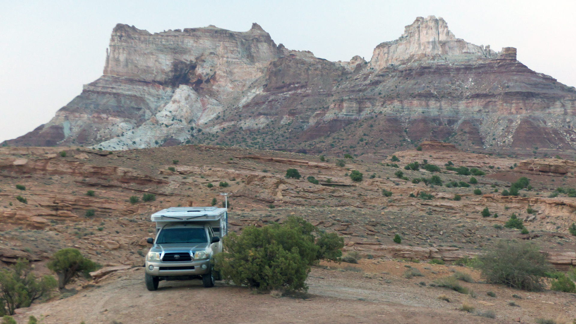
and a trickle of water are all that remains of the great lake.North of Hite you emerge from canyon country and roll onto the San Rafael Desert. With the temperature now dancing
around trip digits, camping was a challenge. We headed for the nearest higher ground, the San Rafael Reef. Only later did we realize that we were camped close to the
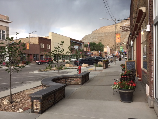
trailhead for Crack Canyon, another hike to save for cooler weather.We whiled away the afternoon in Helper, Utah, a former mining town and railroad hub that has done a fantastic job of
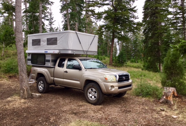
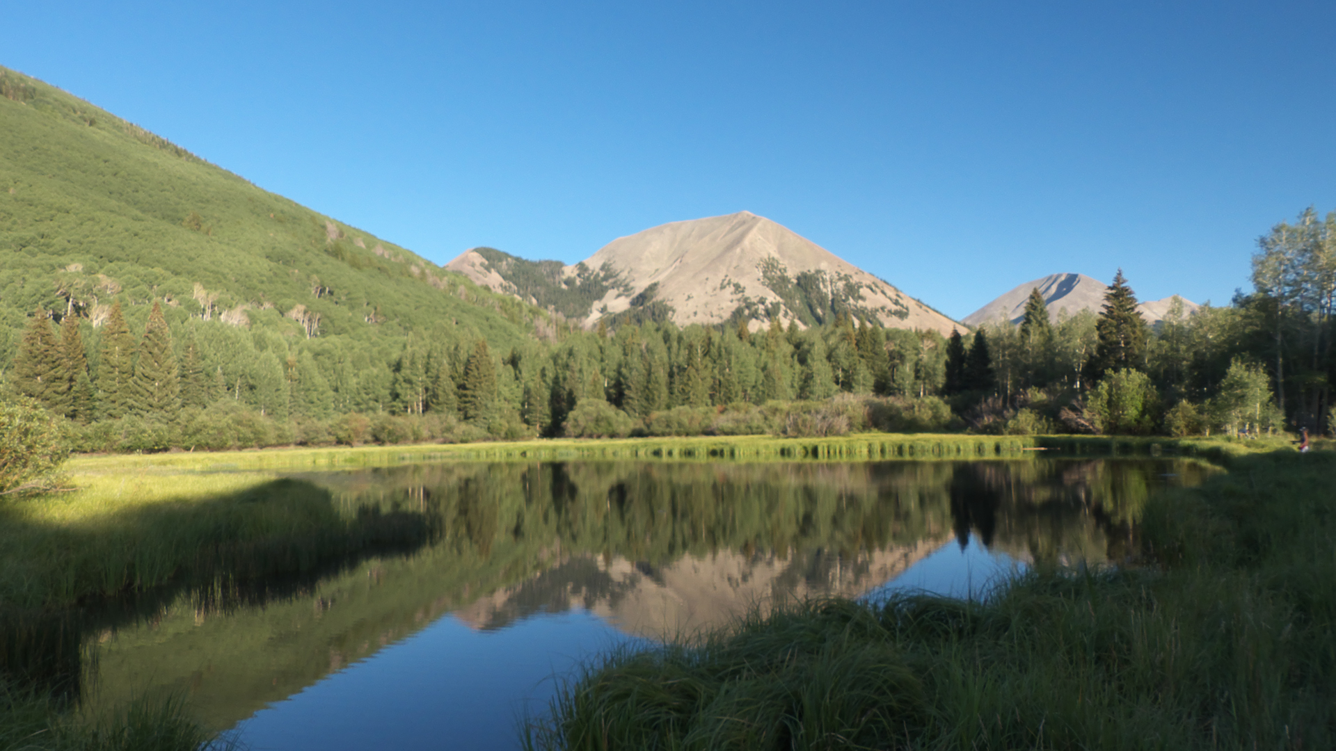
reinventing itself as a center for the arts and tourism.Deliciously cool (55°) mountain air at 8900' in Avintaquin Campground in Ashley National Forest.
This is a great campground and a steal at $2.50 with the Golden Geezer pass. Except for the gunfire. Hundreds of rounds from a large group camped just up the hill. I've hard that gunfire is now a "thing" at
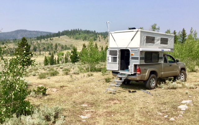
National Forest campgrounds, but it was the first time we had encountered it.The next night we were careful to avoid campgrounds, clawing our way up a cowpath and to an aspen grove at 8800
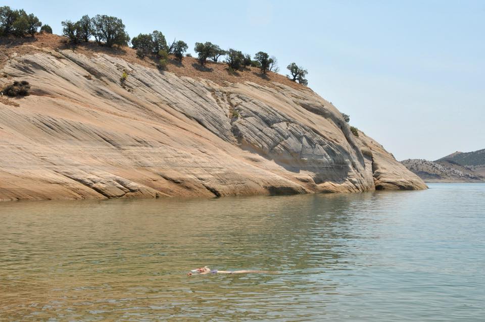
feet off the Red Cloud Loop north of Vernal, Utah. By now the air was thick with smoke from a 57,000-acre wildfire to the west.With a half day of free time before the start of our float trip, we hiked the Dinosaur Trackway Trail
at Red Fleet State Park, so named for the red "nugget" sandstone cliffs that look like ships surrounding the lake. We didn't see a lot of dino tracks
but were delighted to find a great beach at the end of the hike.
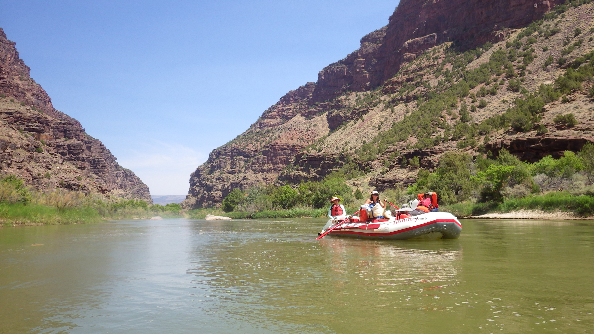
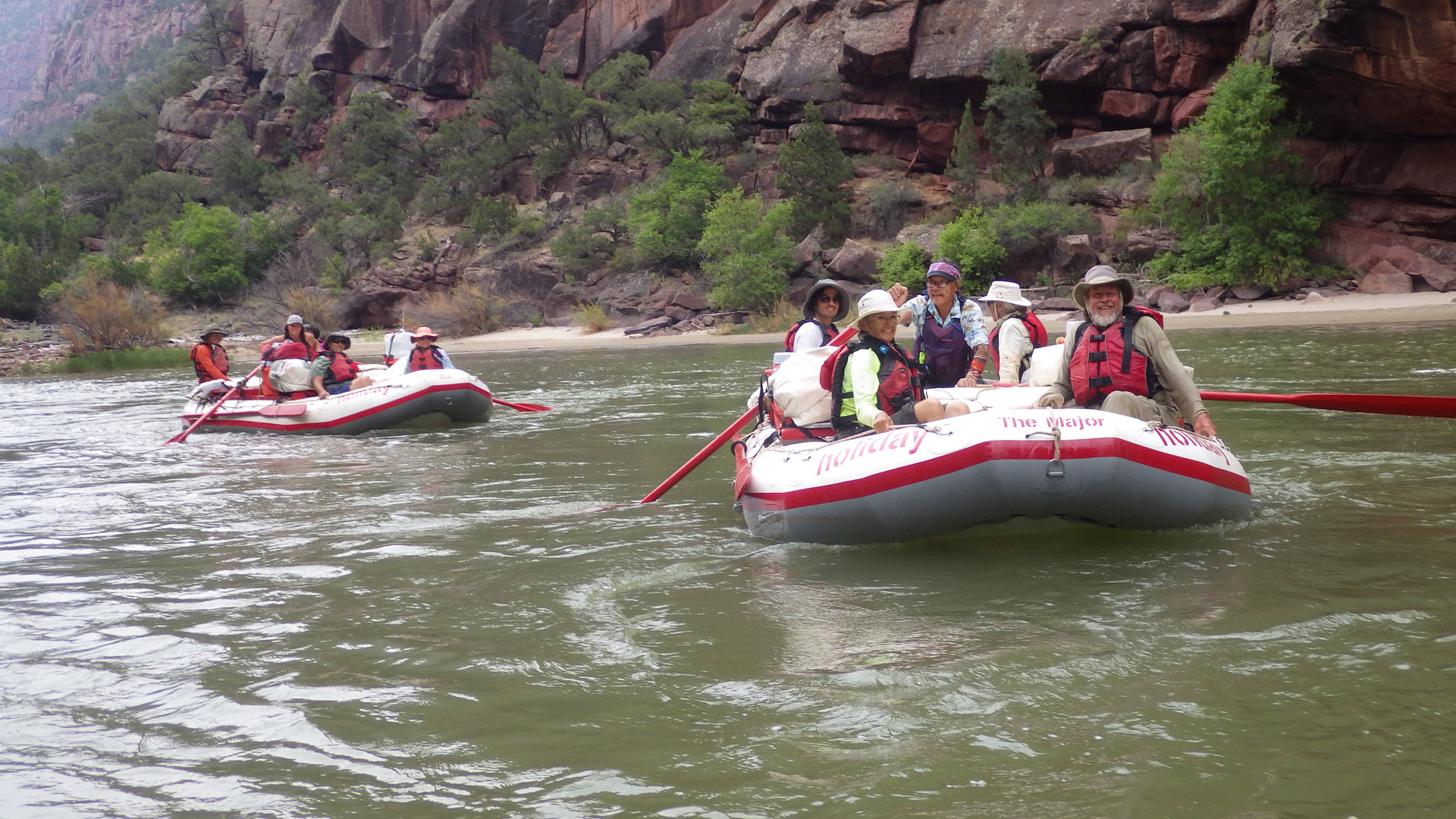
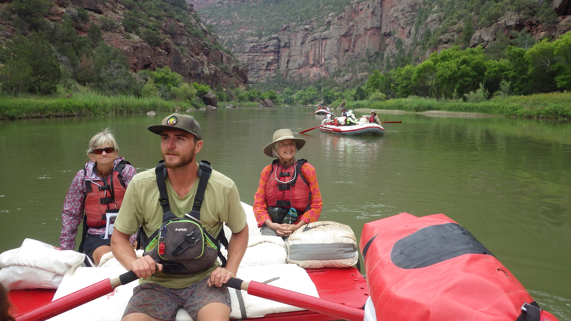
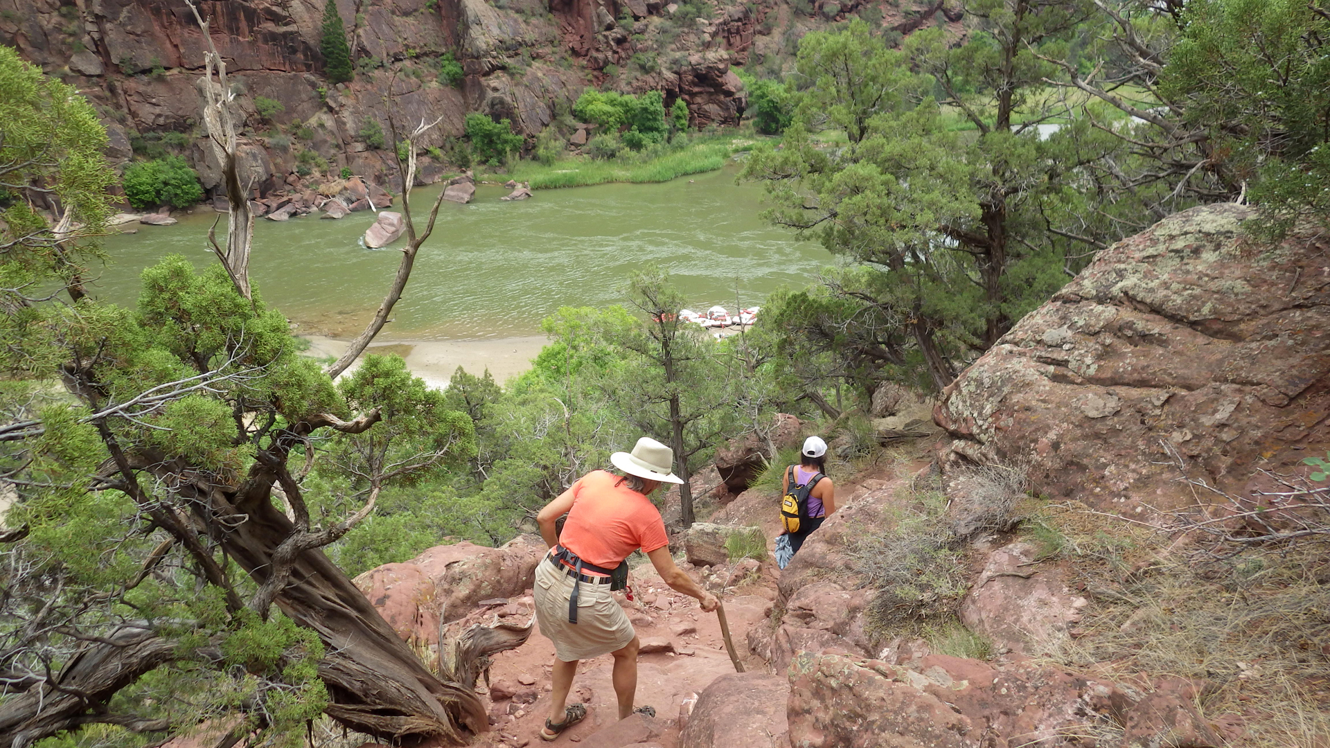
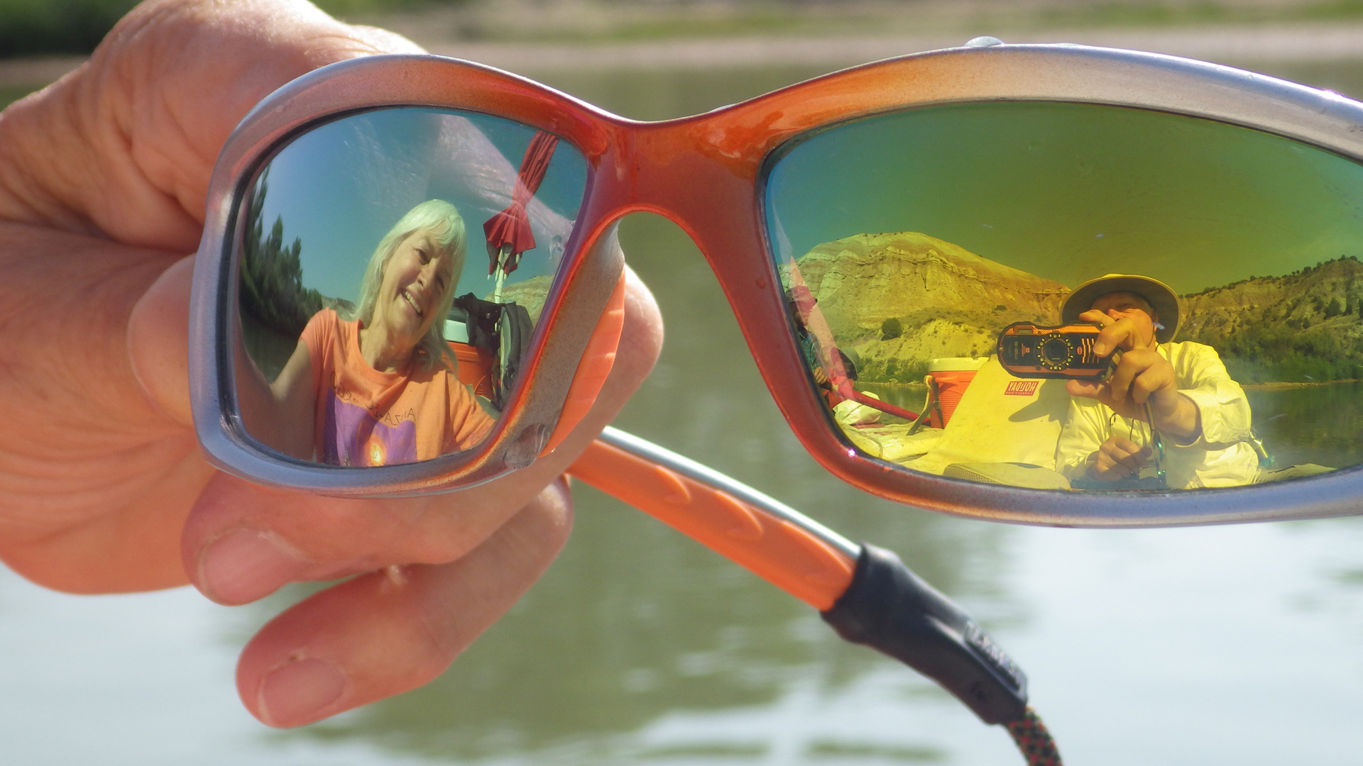
Then it was off to the Utah Museum of Natural History to meet our companions and pack our bags for a five day 44-mile float on the Green River.
It was the trip of a lifetime,
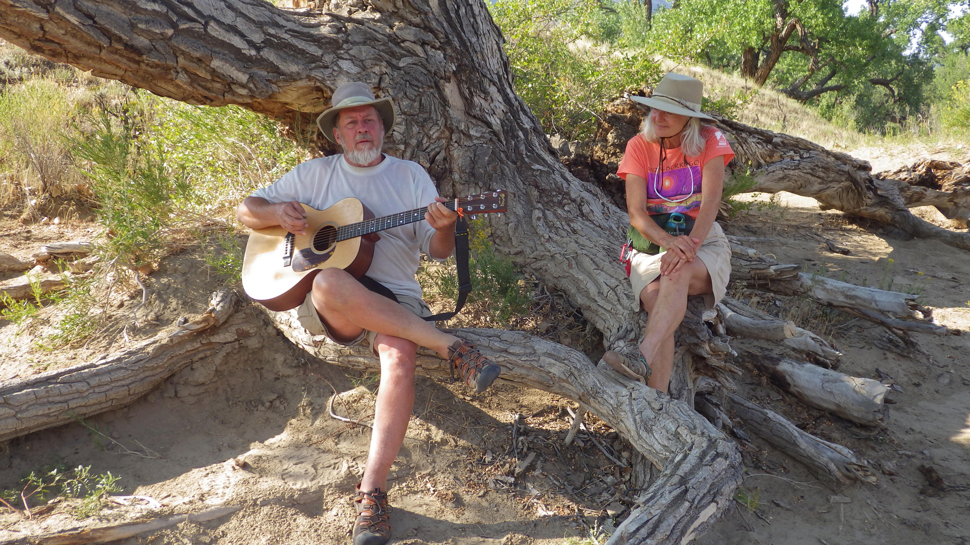
greatly enhanced by congenial fellow travelers and especially musical accompaniment by folk artist and Tucson treasure Eb Eberlein, who
graciously allowed us to use "Slick Rock", one of the songs from his new CD, "Community and Solitude".
You can book gigs or contact EB to purchase a CD on his Facebook page, Eb's Camp
Cookin'
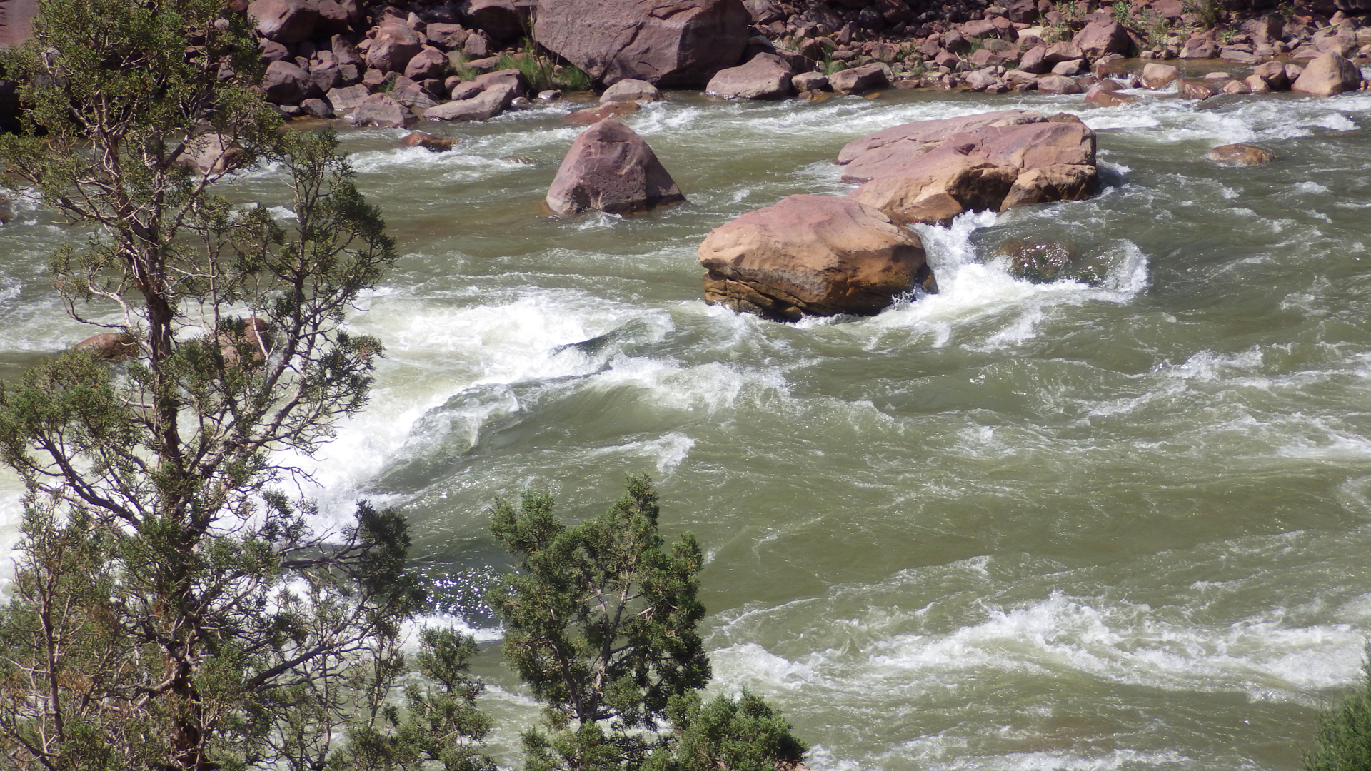
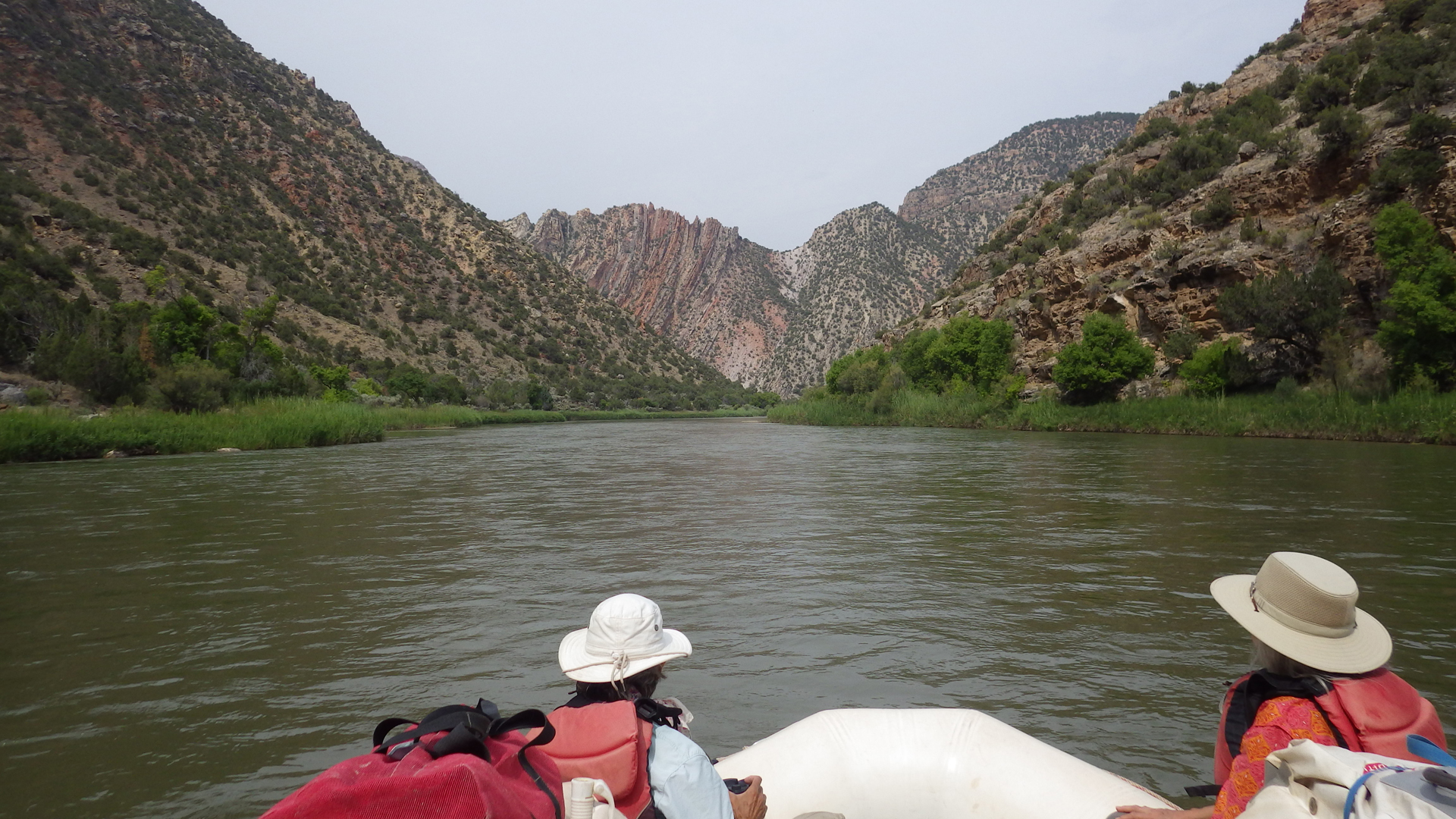
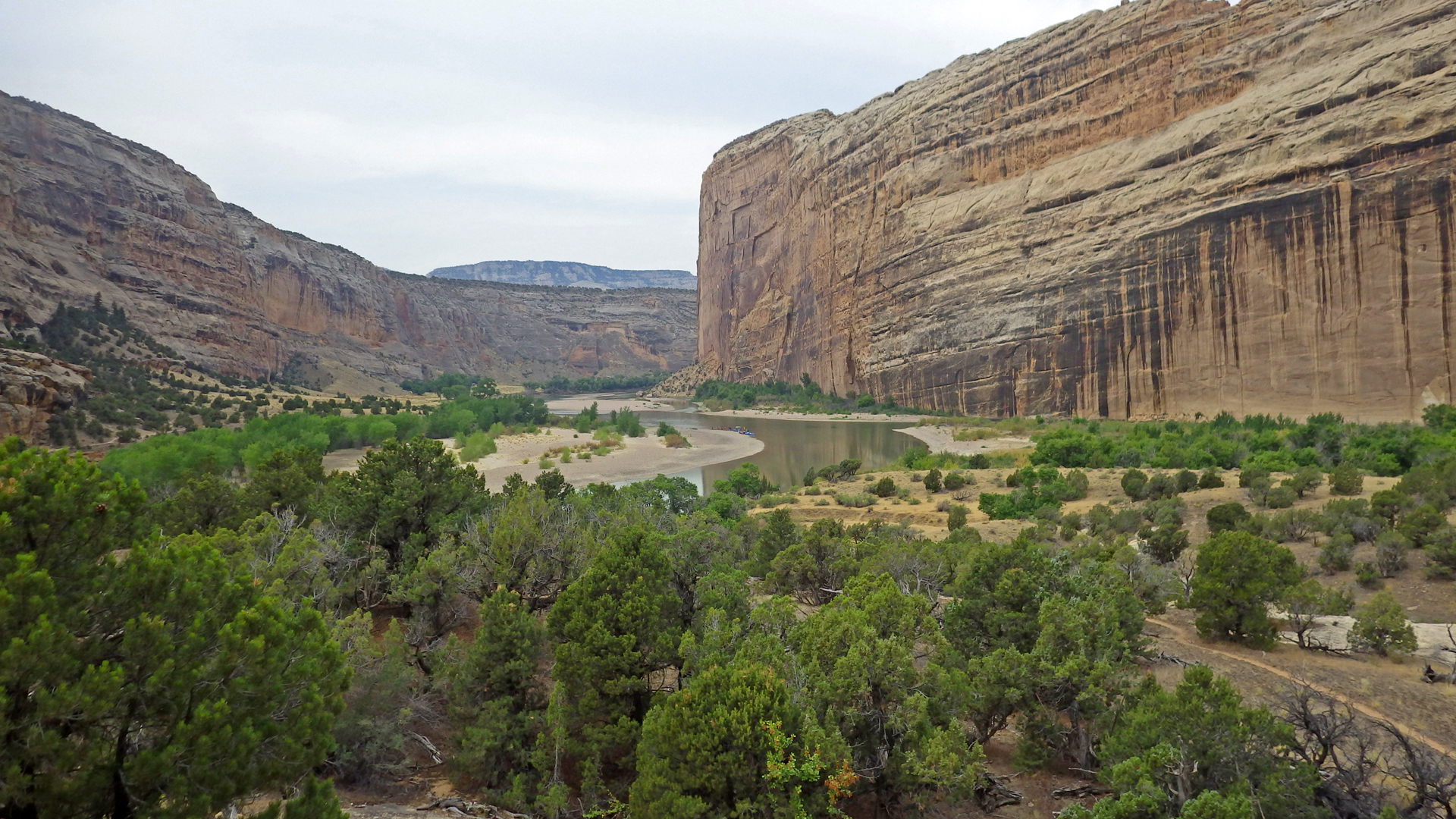
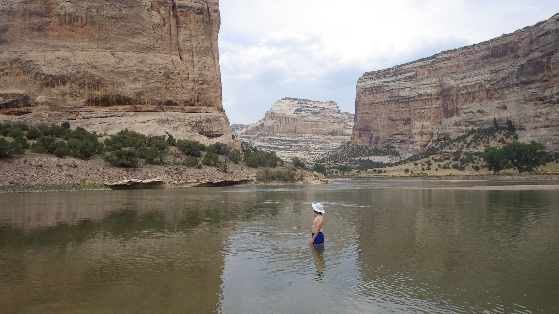
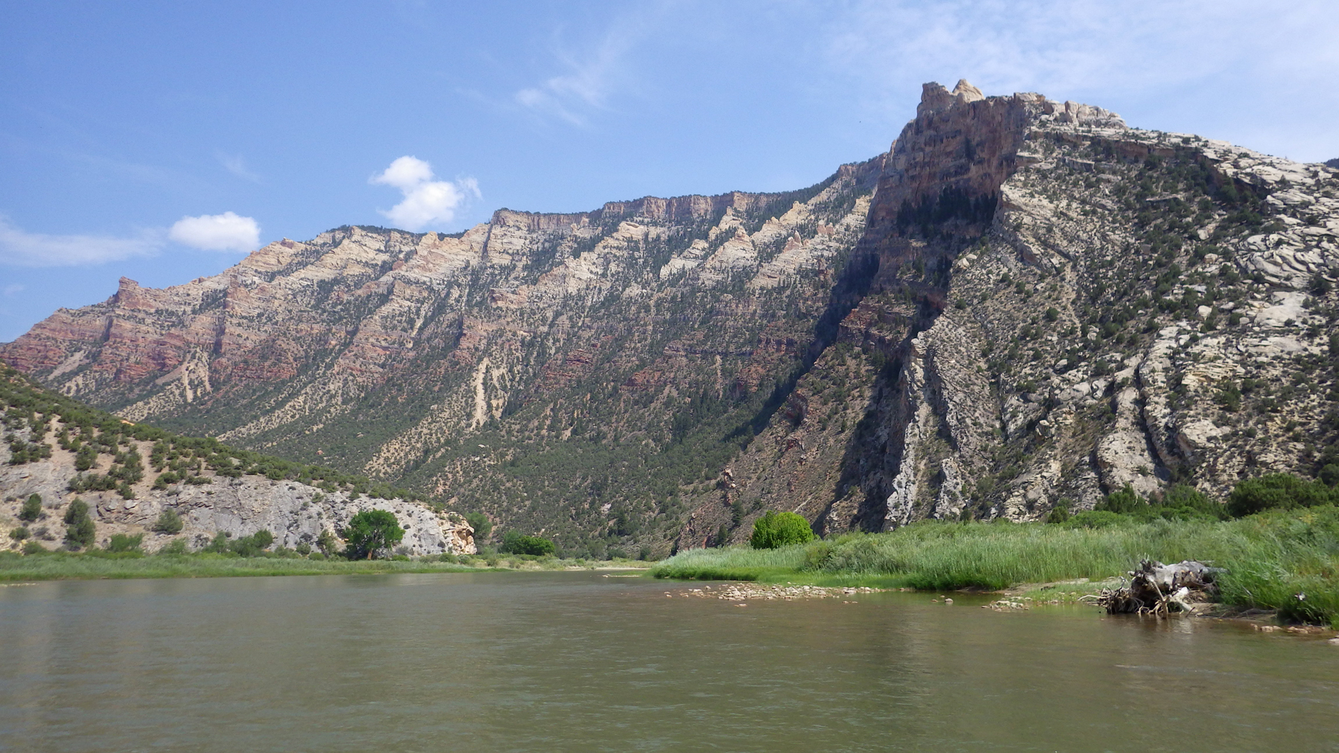
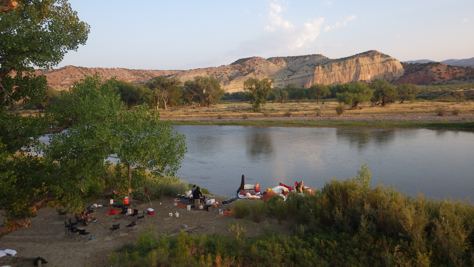
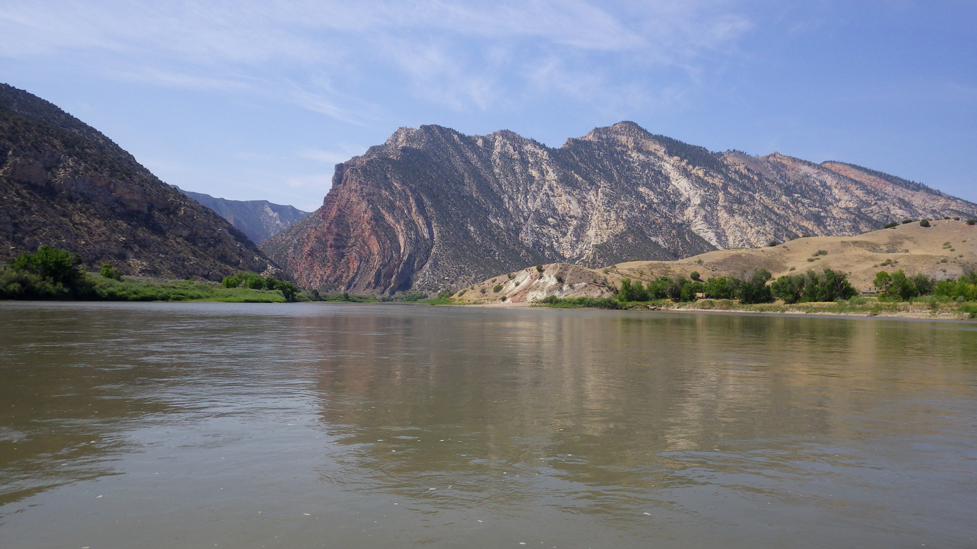
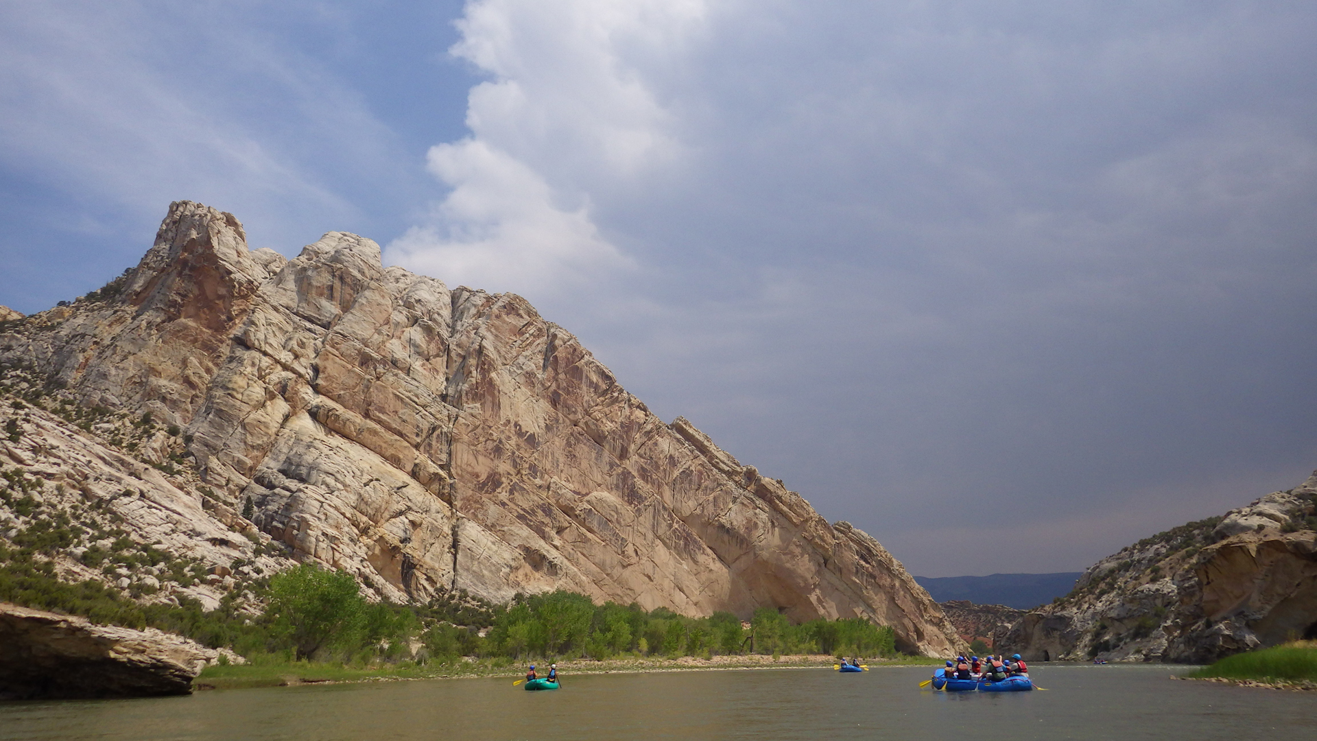
At the Gates of LodoreThe Green River is well-named. Yes, it is really that color!For much of its length, the Green slices through the deep mahogany cliffs of the Uinta Mountain Group, which is
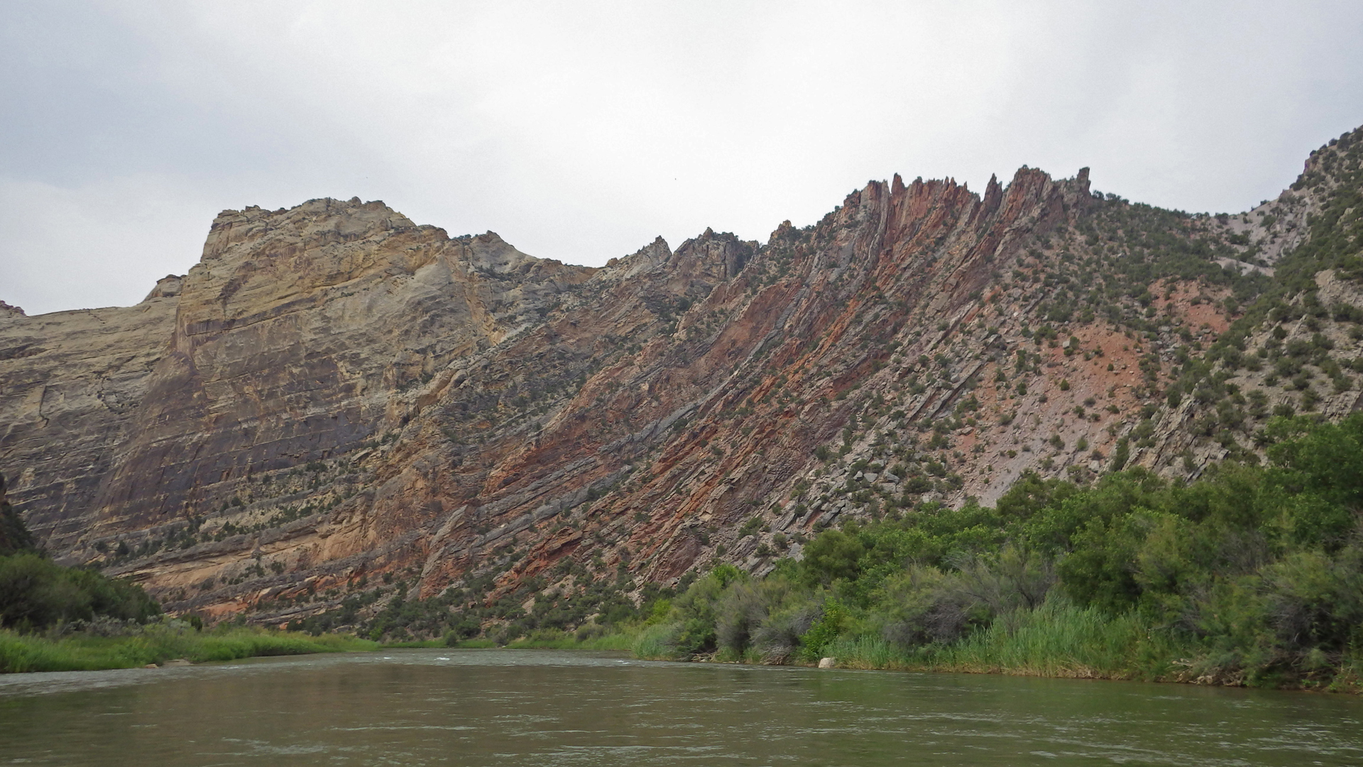
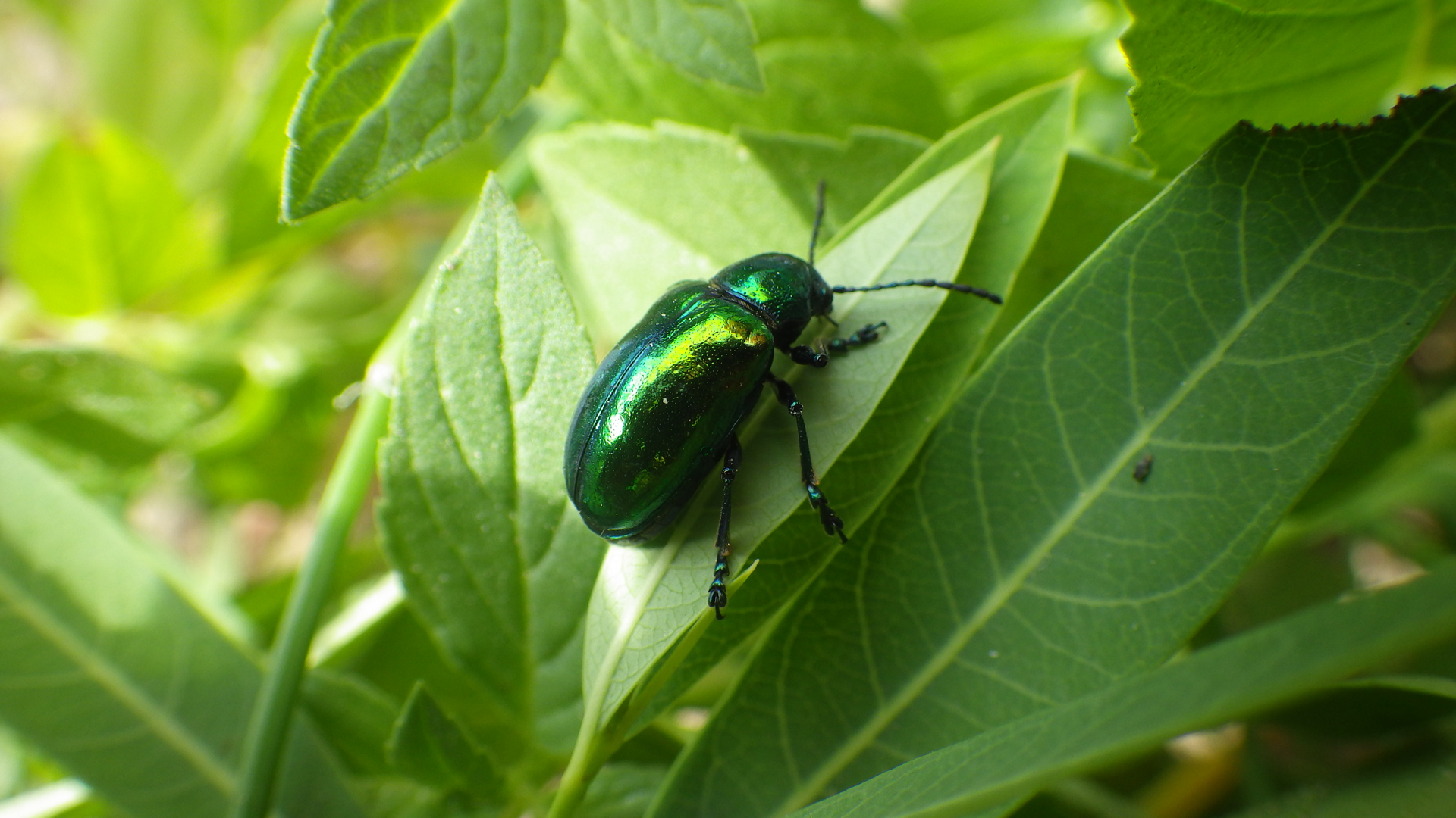
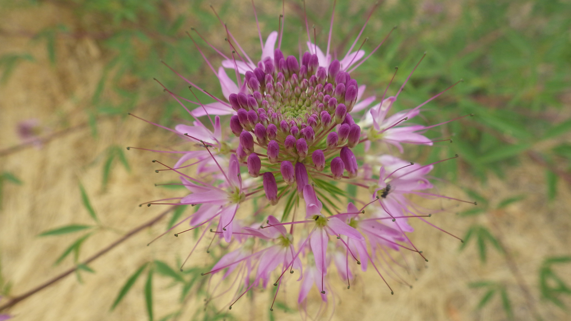
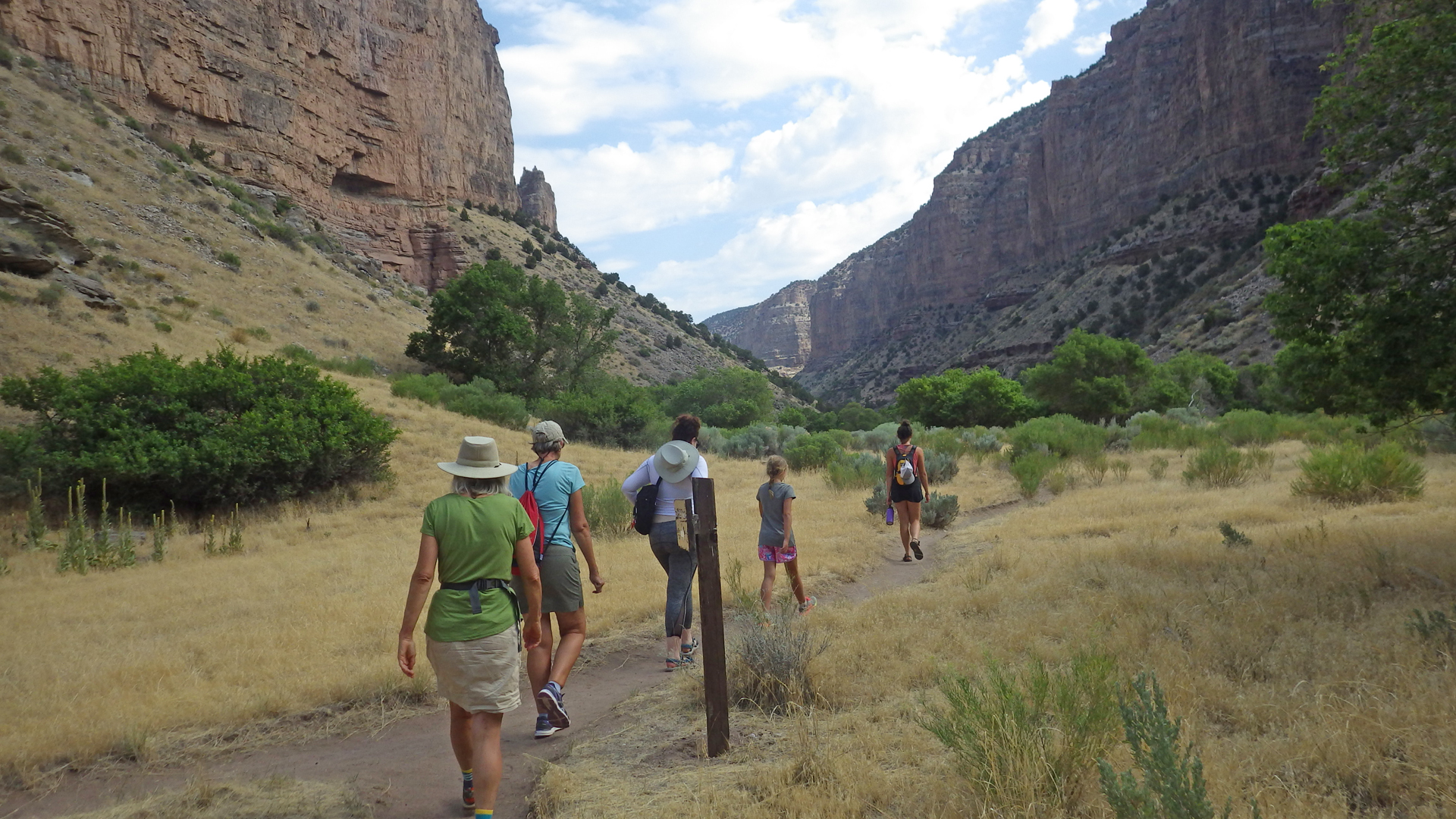
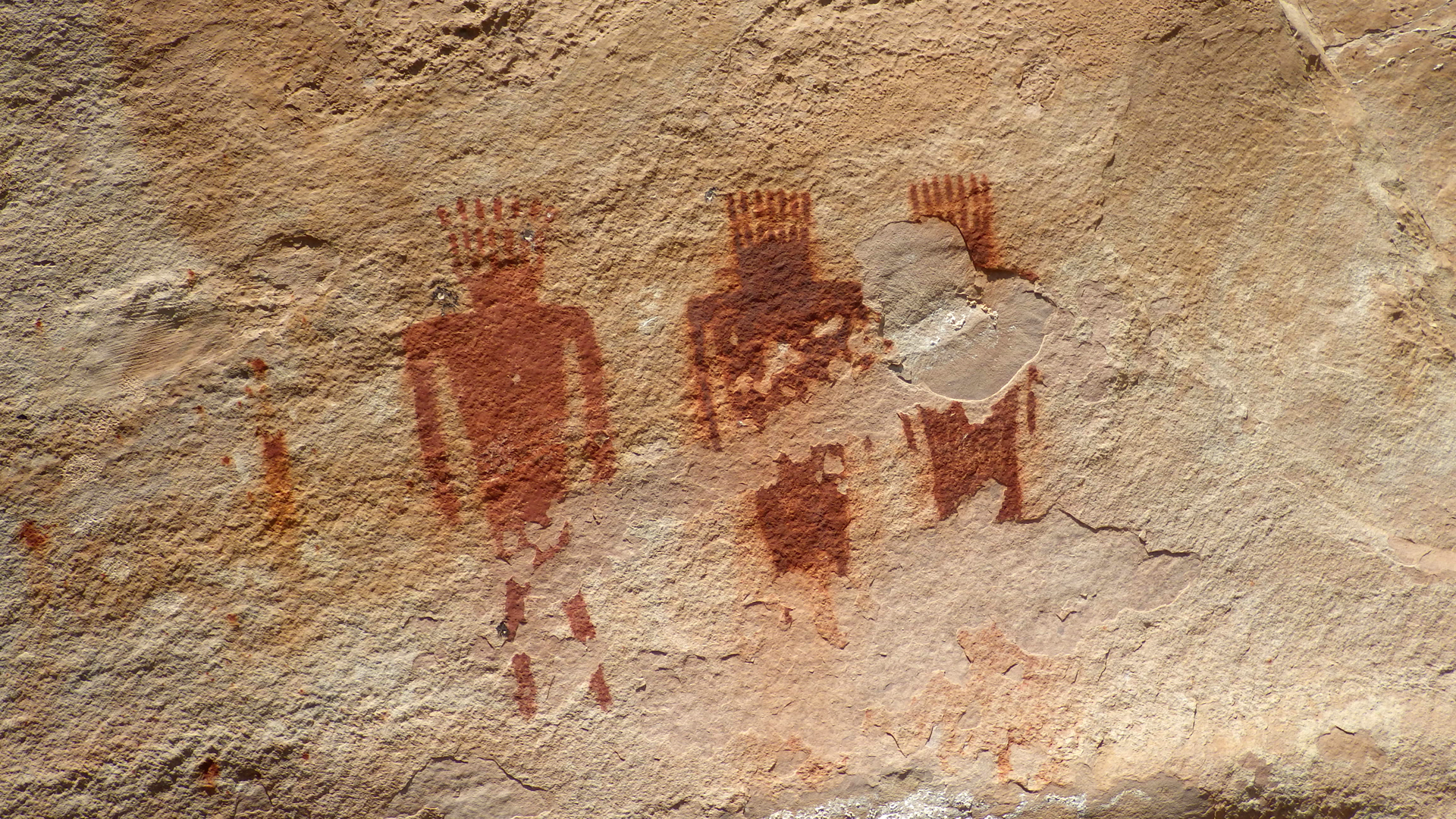
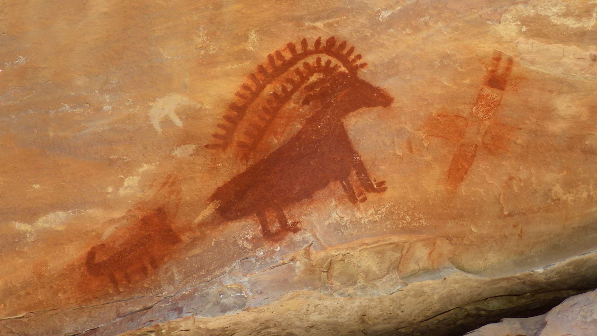
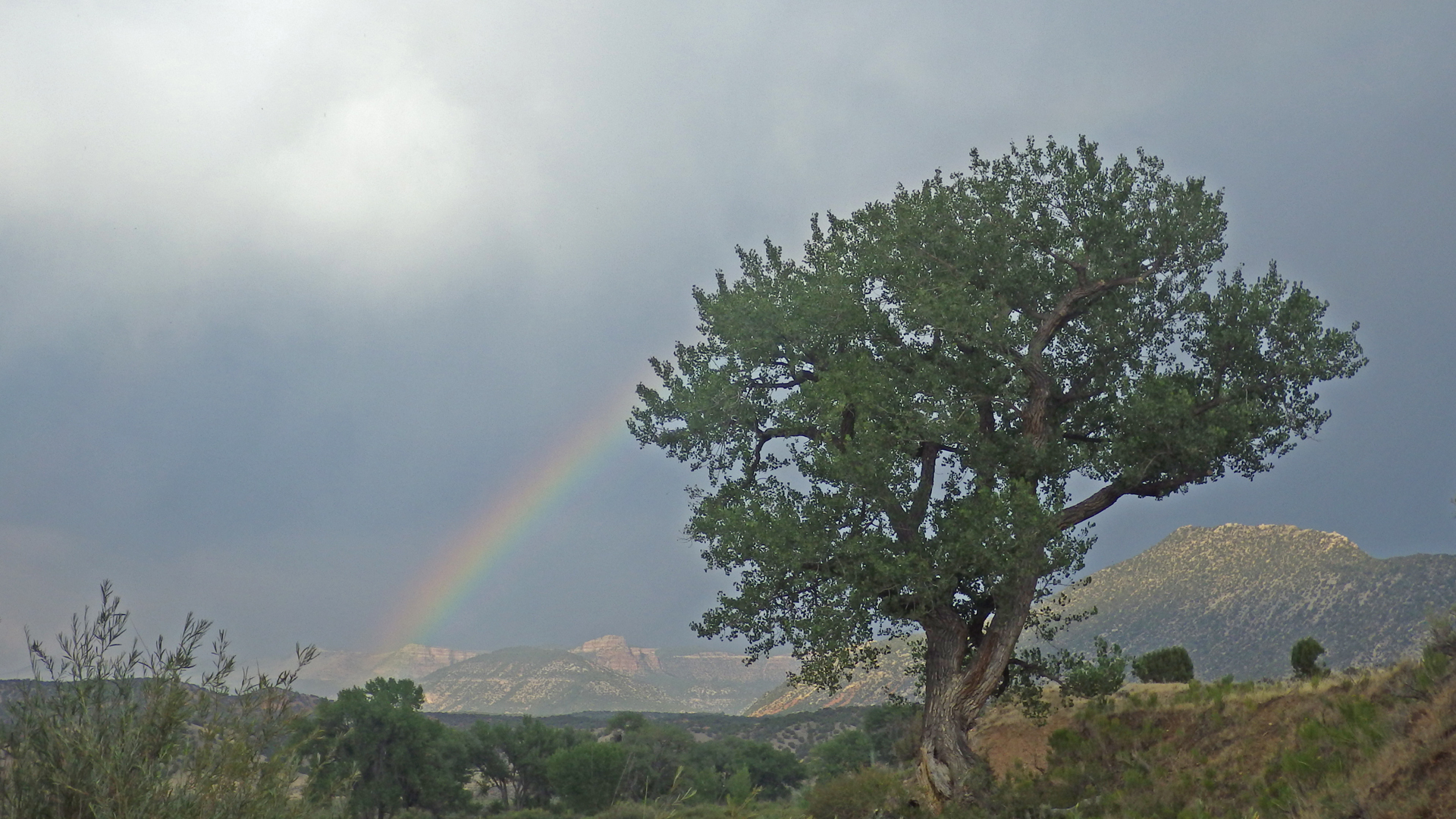
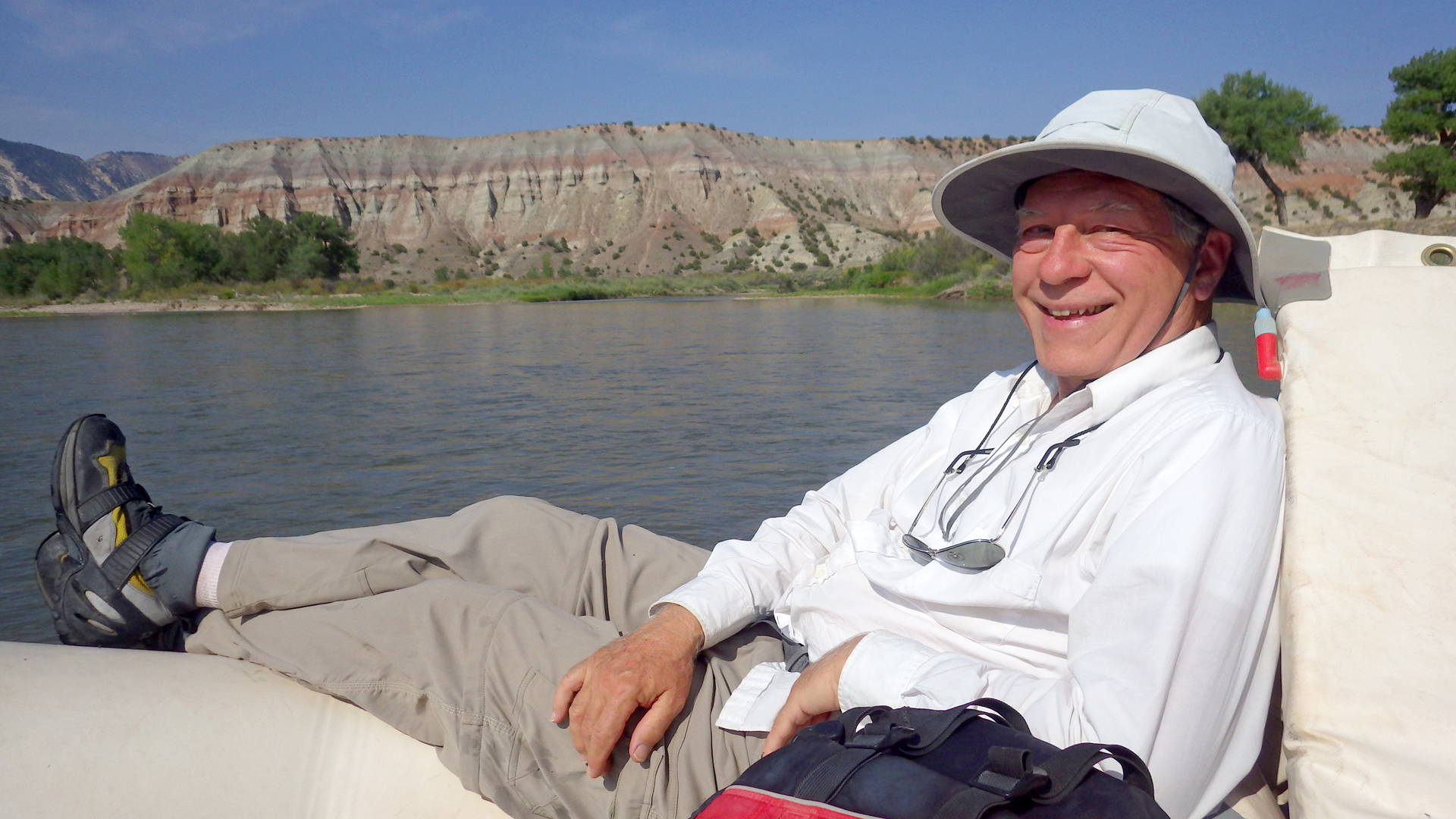
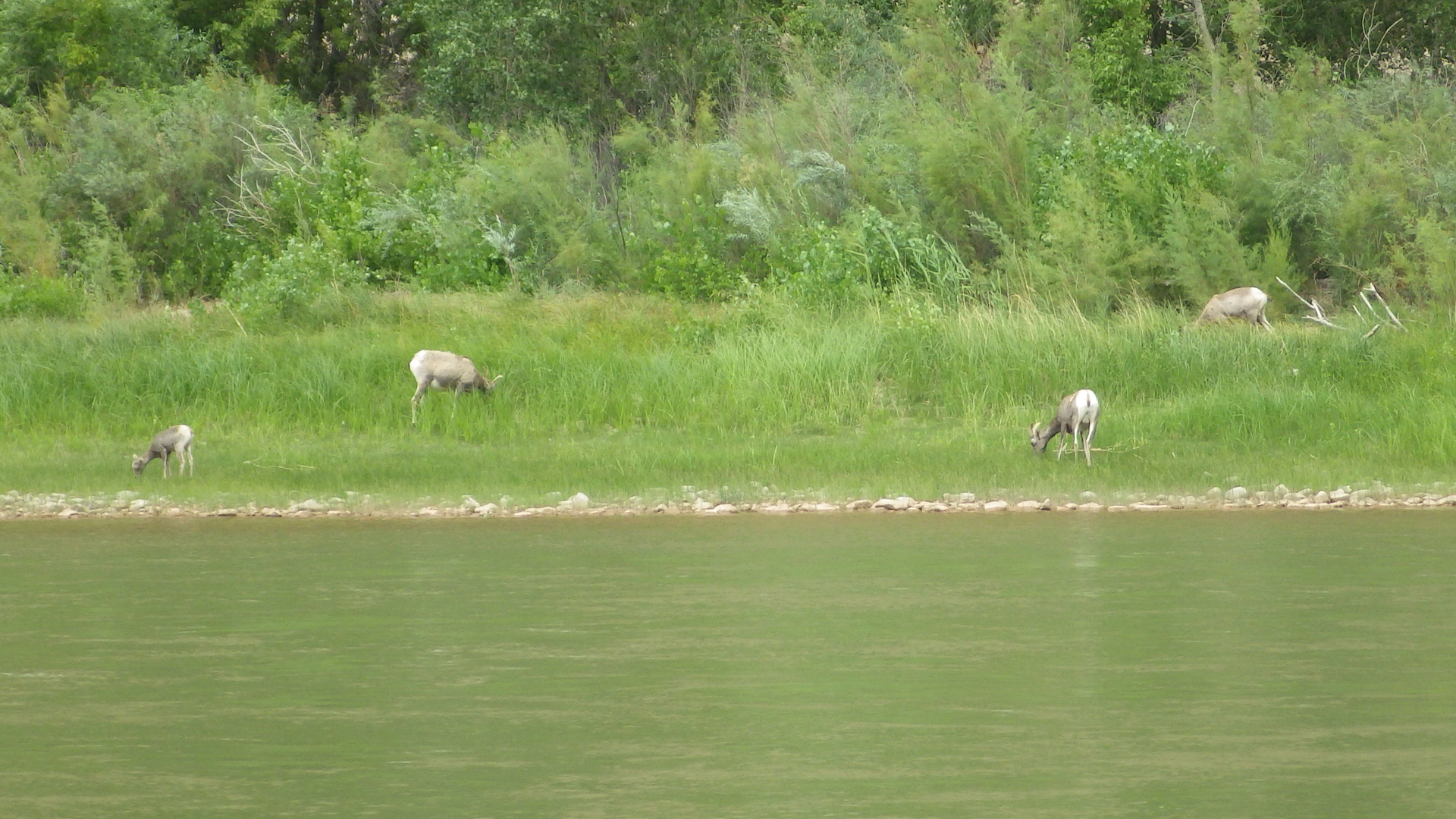
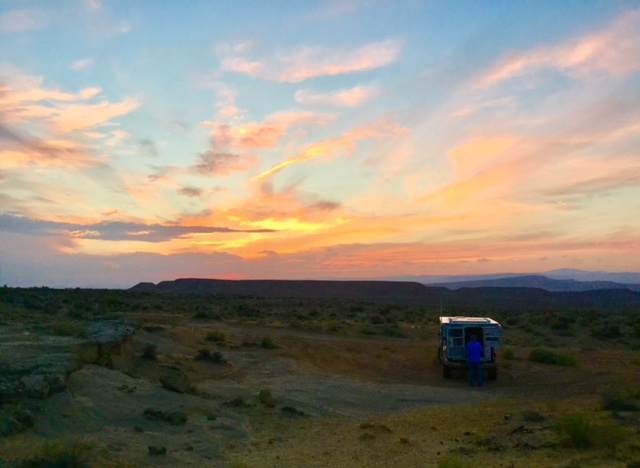
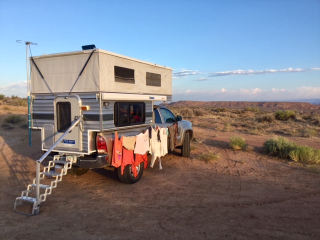
750 million years old and 4-5 miles deep.Captain Justin with me and Nancy in the stern.The first night's camp was at Pot Creek.We hiked up a short, steep trail to a lovely waterfall.As we approached Echo Park, the Uinta Mountain Group gave way to very colorful upturned layers of rock — Lodore, Morgan and Madison.Mitten ParkDogbane Leaf BeetleConfluence with the Yampa RiverEcho ParkRocky Mountain Bee PlantHiking the Jones Hole Creek Trail.Jones Hole Creek pictographs.Jones Hole Creek pictographs.Rainbow Park, where we camped last year and promptly fell in love with Dinosaur National Monument.We spent the last night at Island Park, where a sudden squall gave way to a brilliant rainbow.Eb and me under the cottonwood tree.Happy camper.Fantastic light at Split Mountain the last day of the trip.We saw SO MANY SHEEP! These are Desert Bighorns, which are slightly smaller than the Rocky Mountain Bighorns we have here in Arizona.A wide spot on a 4WD road and three bars of internet. Home sweet home.Laundry Day.It was a beautiful drive along the western border of Colorado, through Pintado Canyon, and then west on I-40 before cutting over
to US 191. It's a pretty drive through the Colorado River Canyon, but the temperature hit 108 south of Cisco, and we were nearly out of water.
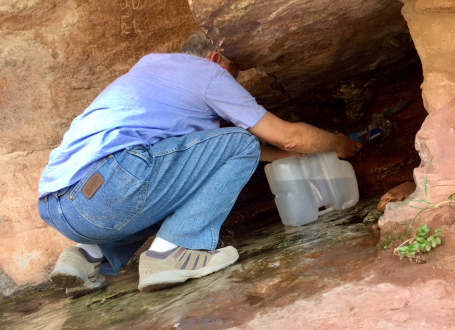
Moab was a blazing inferno crawling with tourists — so
overgrown since our last visit! But there we found a surprising oasis at Matrimony Springs on the edge of town, and filled our 20-gallon tank 2.5 gallons at a time with clear, cold spring water.
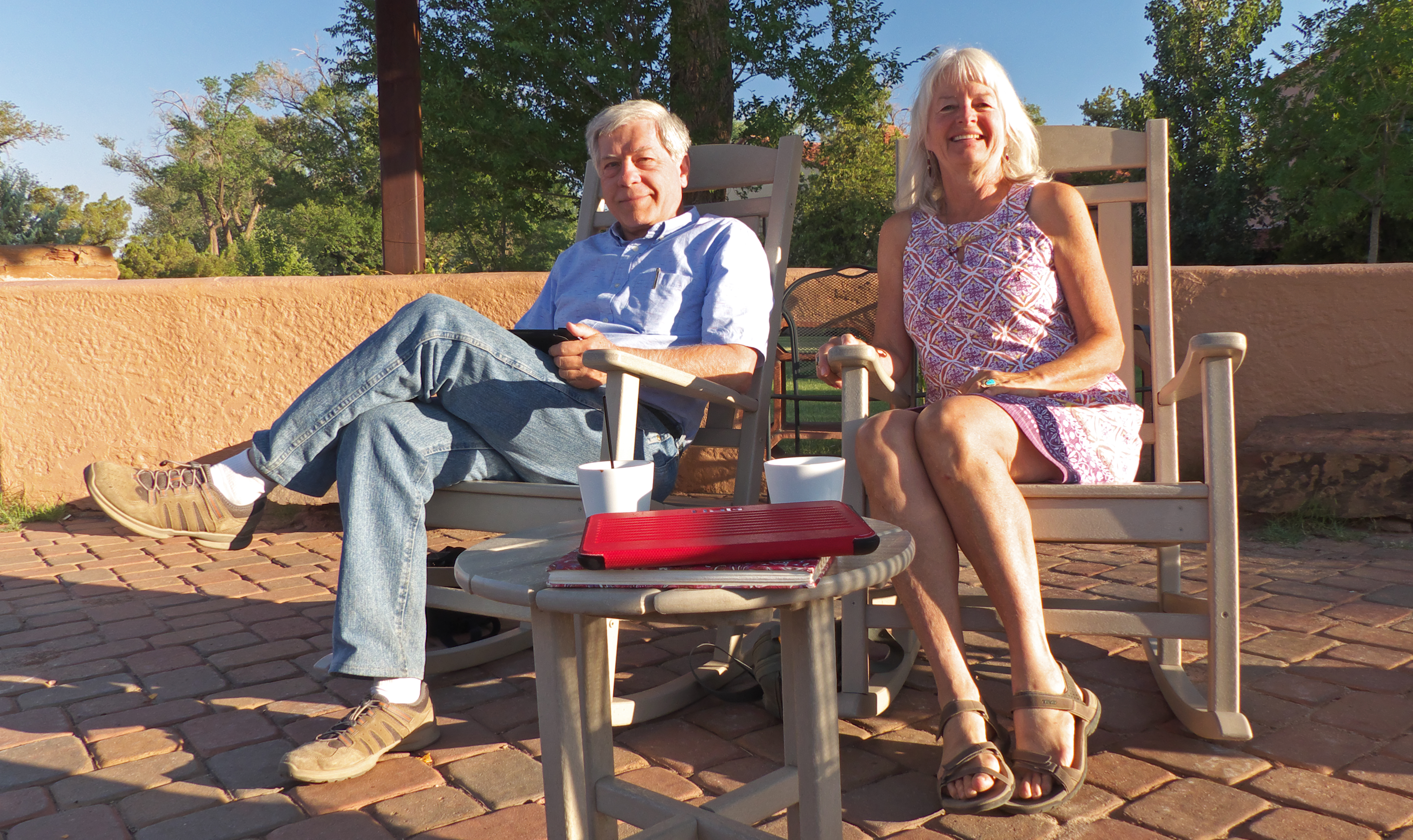
Last night of camping, at Last night at Warner Lake, 9400', in the Manti La Sal Mountains east of Moab.The roof of the world. Crossing the res north of Winslow.The last night of the trip we wimped out and stayed at La Posada. I love this place! But every time we
visit, I have to go home and redecorate!Reflections on a great summer vacation.