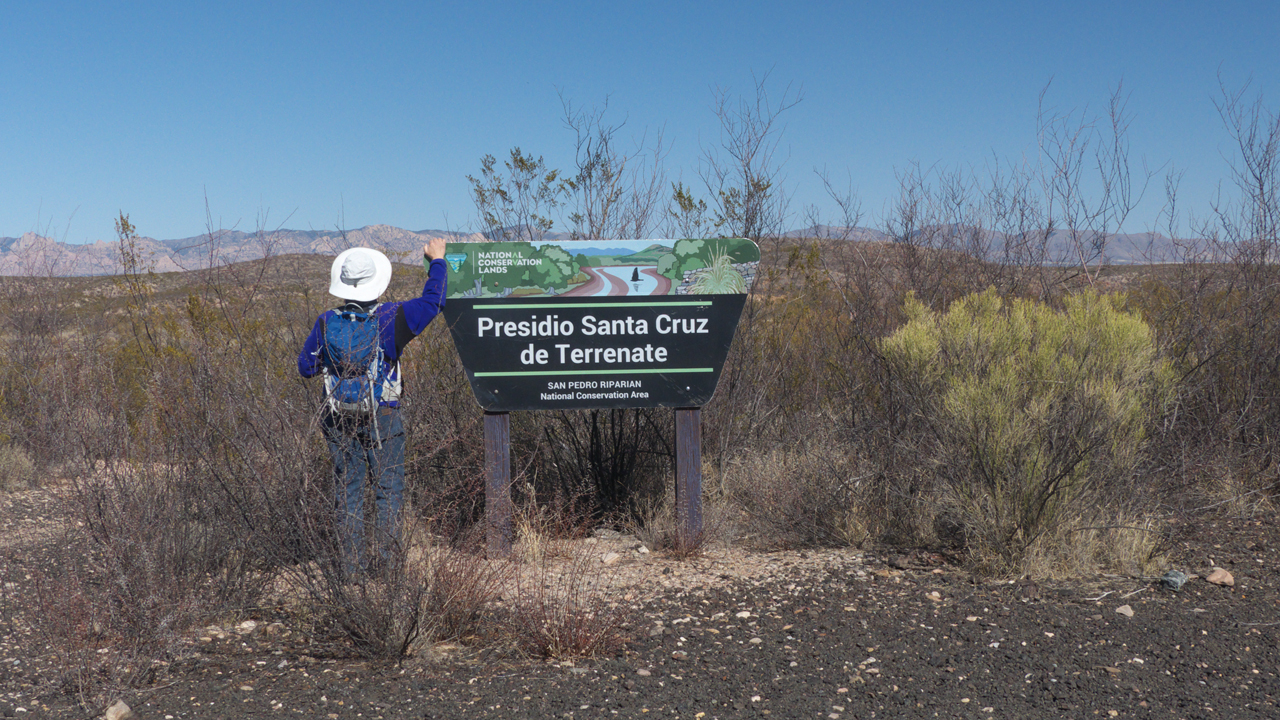
Everyone knows there were presidios in Tubac and Tucson. But there was another presidio in southern Arizona, one that provides a much clearer picture of the harsh conditions at the extreme edges of the Spanish colonial empire.
In 1775, the Presidio Santa Cruz de Terrenate was relocated from northern Sonora to a bluff overlooking the San Pedro River southwest of present-day Tombstone. It was one of 19 fortresses
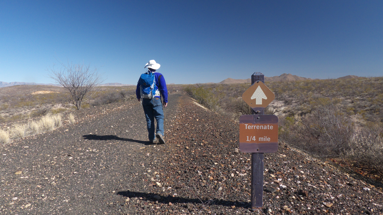
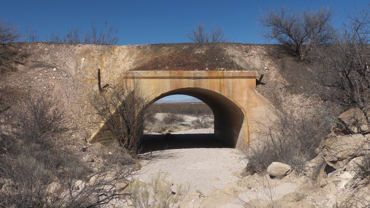
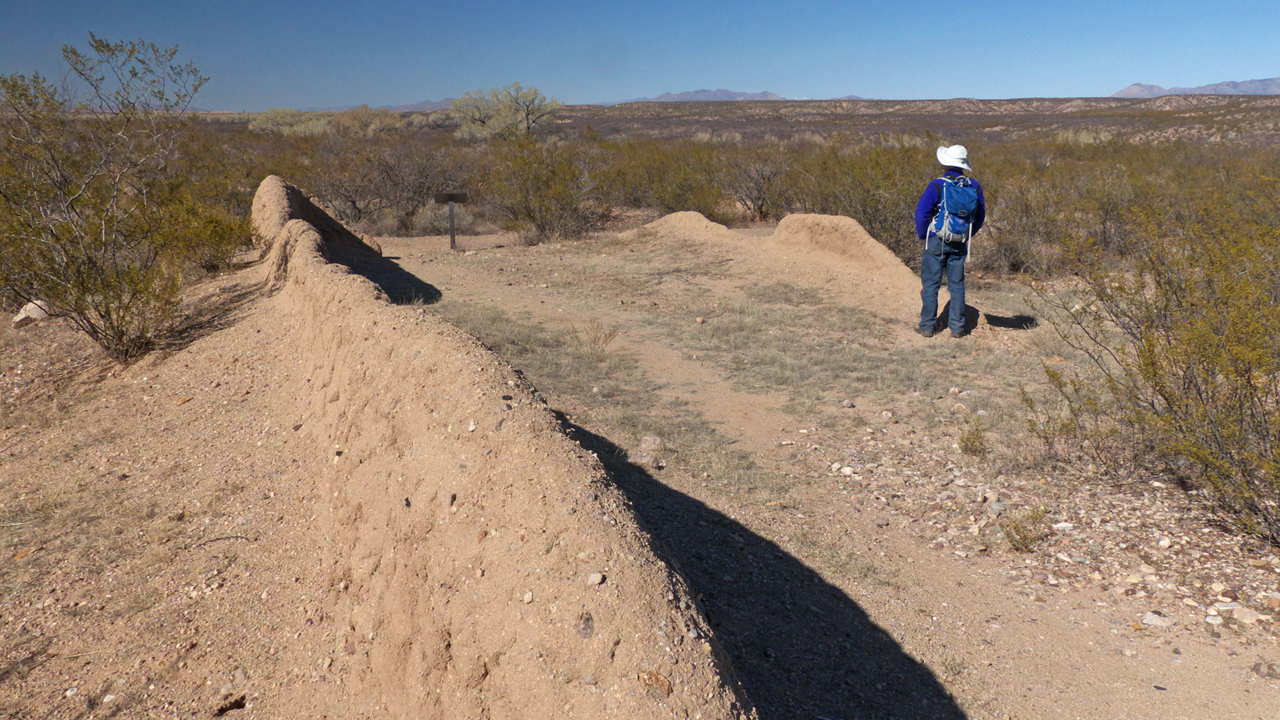
constructed between 1771 and 1777 along the northern fringe of Nueva España under the direction of Hugo O'Conor, an Irish emigré who spent his entire adult life as a soldier in the service of King Charles II of Spain.It's about a three-mile round trip hike across a creosote flat to the site of the presidio.Part of the trail follows an old railroad bed. In the late 1800s, this area was a busy mining hub. A short distance south, two rail lines intersected at Benson Junction. As you walk, imagine steam trains chuffing along these tracks, and the constant clanging of seven stamp mills that operated 24/7 on the banks of the San PedroThe walls of the presidio were built in the shape of a large square, with one triangular bastion at a corner to protect the
presidio's two front walls and a main gate protected by a two-story guardhouse.
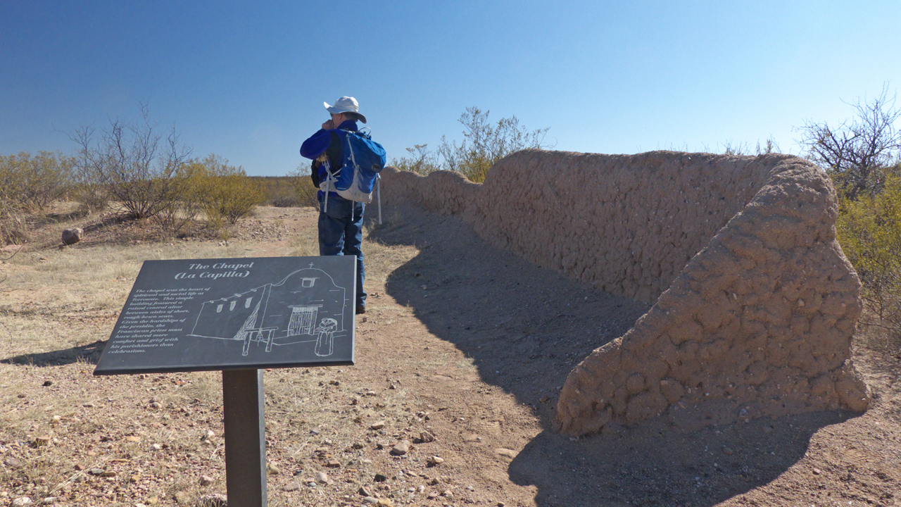
Several adobe-walled structures and were also constructed to house the families of the garrison soldiers, along with a small barracks, an officer's quarters,
a chapel and a plaza.But at the same time the Spaniards were laying claim to present-day southern Arizona, the Apaches were also moving into the area, displacing the O'odham who had occupied this area. Apaches targeted the fort repeatedly, burning the fields and crops, running off the horses, and attacking anyone who ventured out for water or to tend crops. Some 98 men included three commanders perished at Terrenate, which was abandoned by the Spaniards in 1779 just five
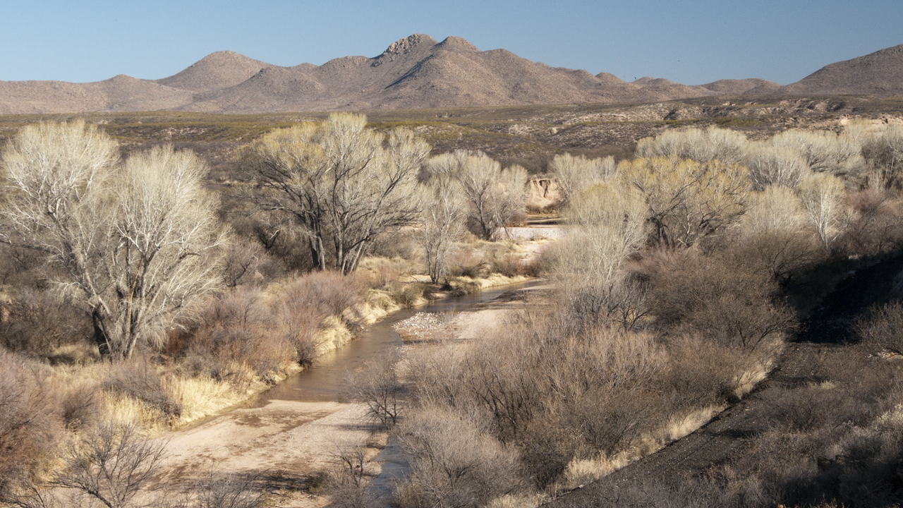
years after its founding.Looking downstream from the bluff at the site of Santa Cruz de Terrenate, at the confluence of the San Pedro and Willow Wash. The presidio, which must have been relatively intact at the time, was briefly occupied by the US Army in 1878.
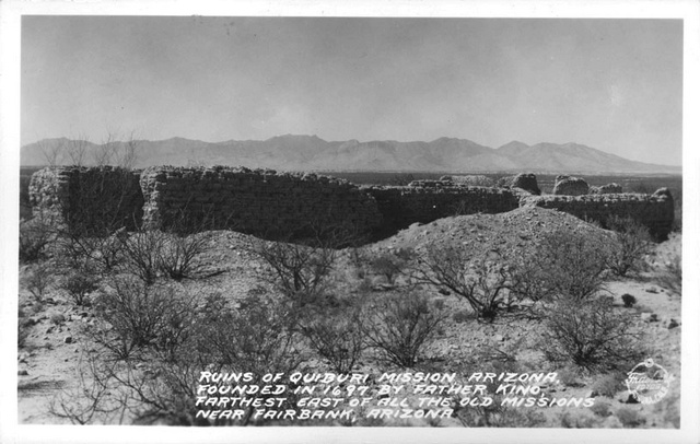
But today little remains except the outline of the stone foundations and a few low adobe walls.The presidio may have been built on the site of a Sobaipuri (a branch of the O'dham) village that was previously occupied by the Hohokam. Older maps mark the location of
Santa Cruze de Terrenate as "Quiburi Mission Ruins". This photo, from the Pomona Public Library was taken by Burton Frasher, Sr., in 1936.